






KM1 Stelzling - Laas

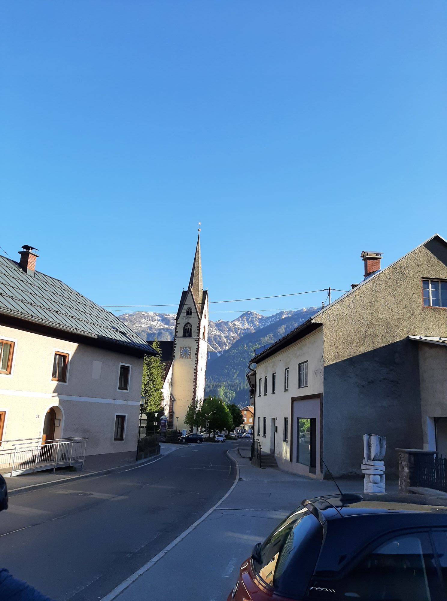
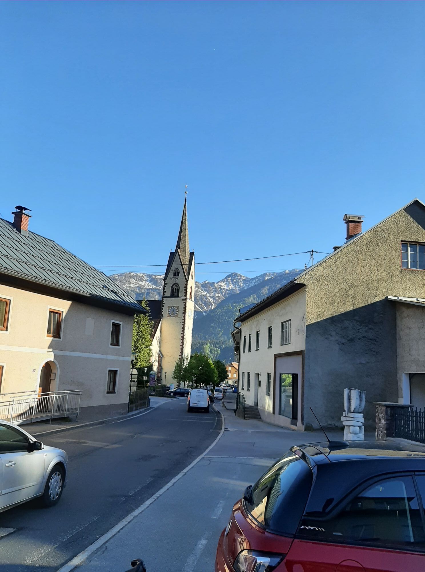
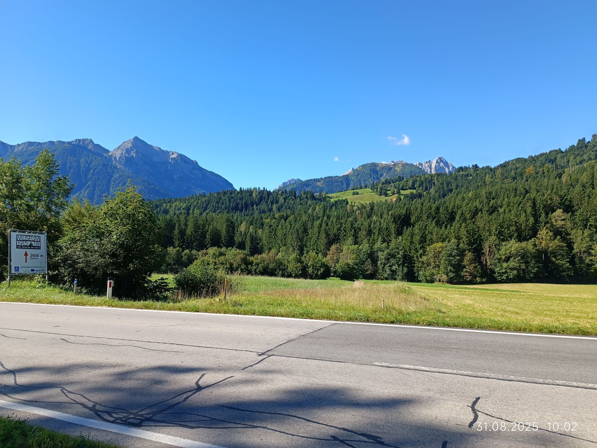
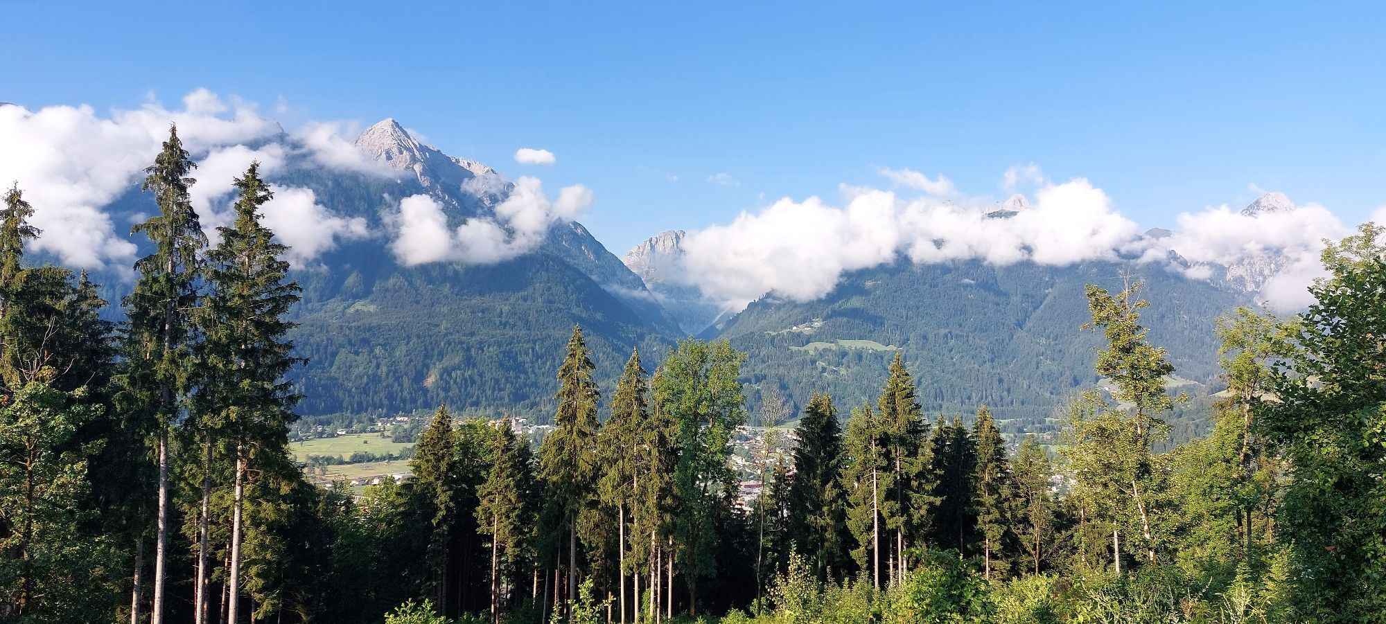
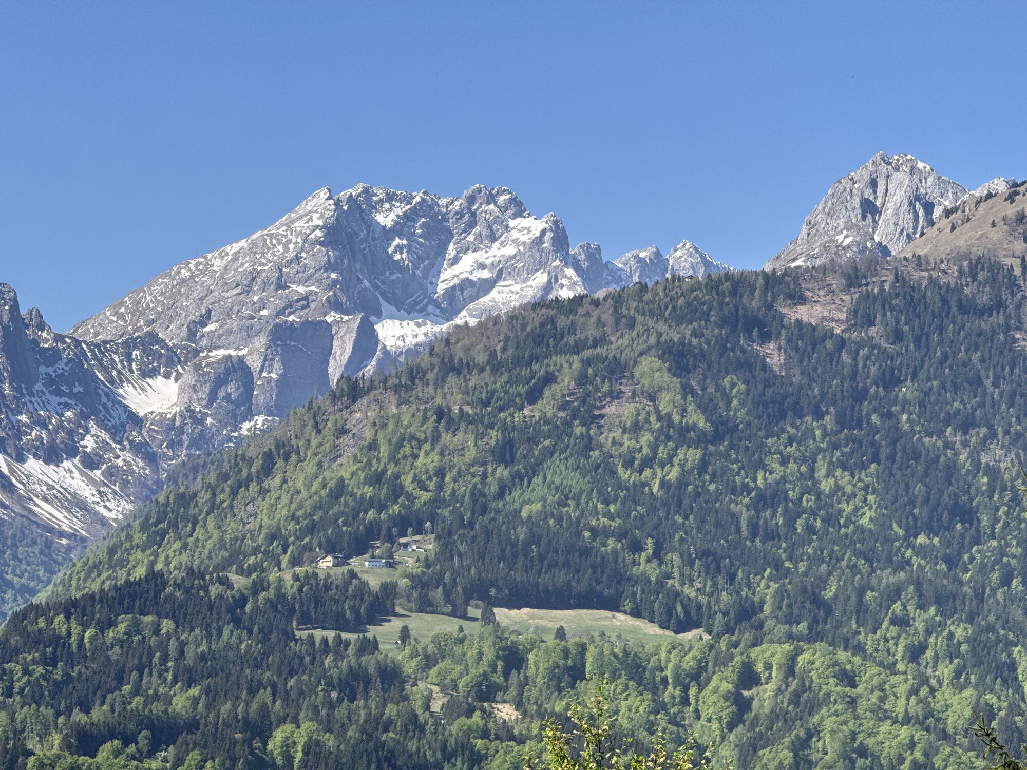
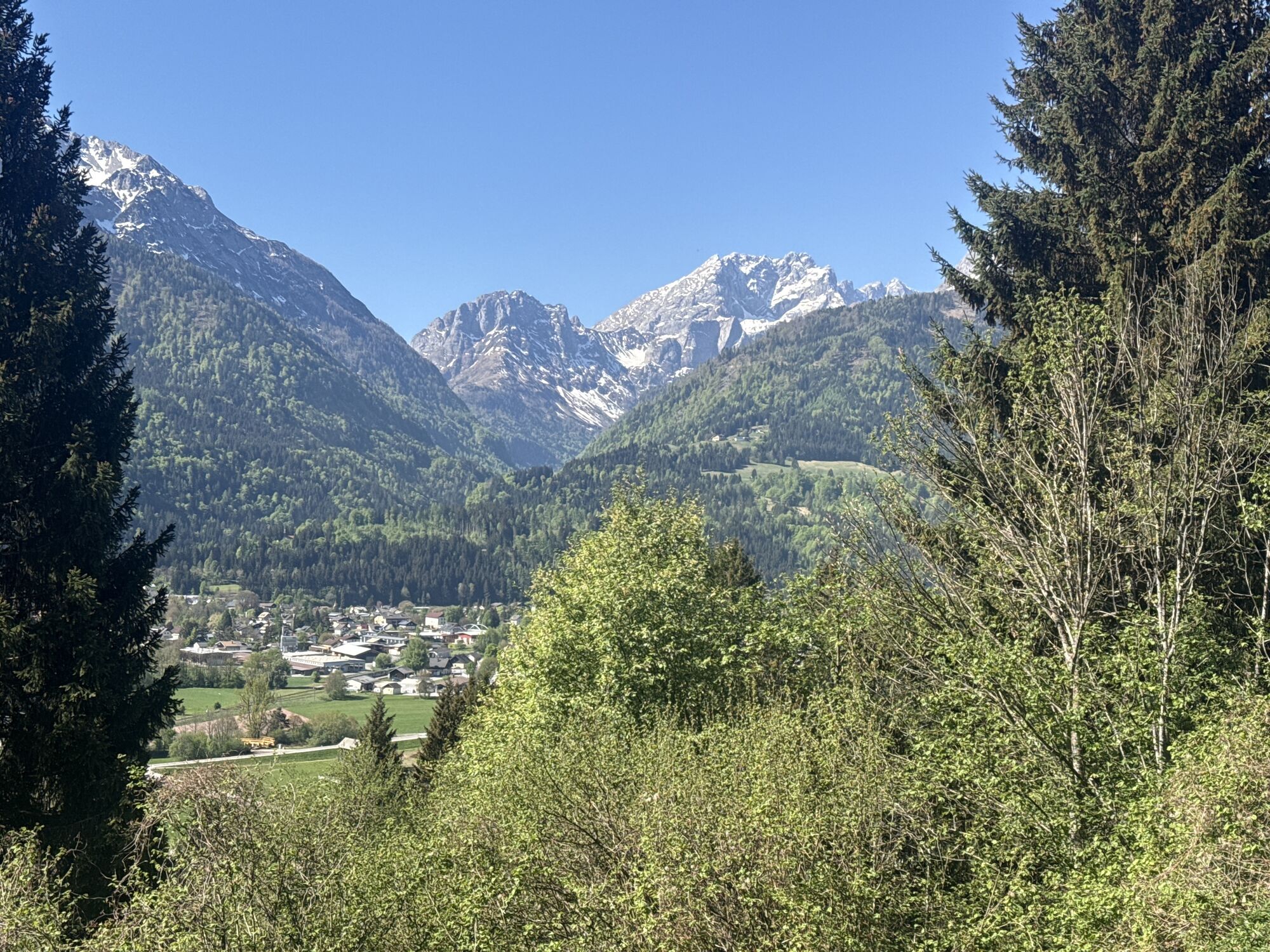
From the TVB in Kötschach Mauthen first approx. 900 meters on the federal road B110 to the church. After the church, at the fountain, turn right. After about 3.5 kilometres and 350 metres of altitude difference...
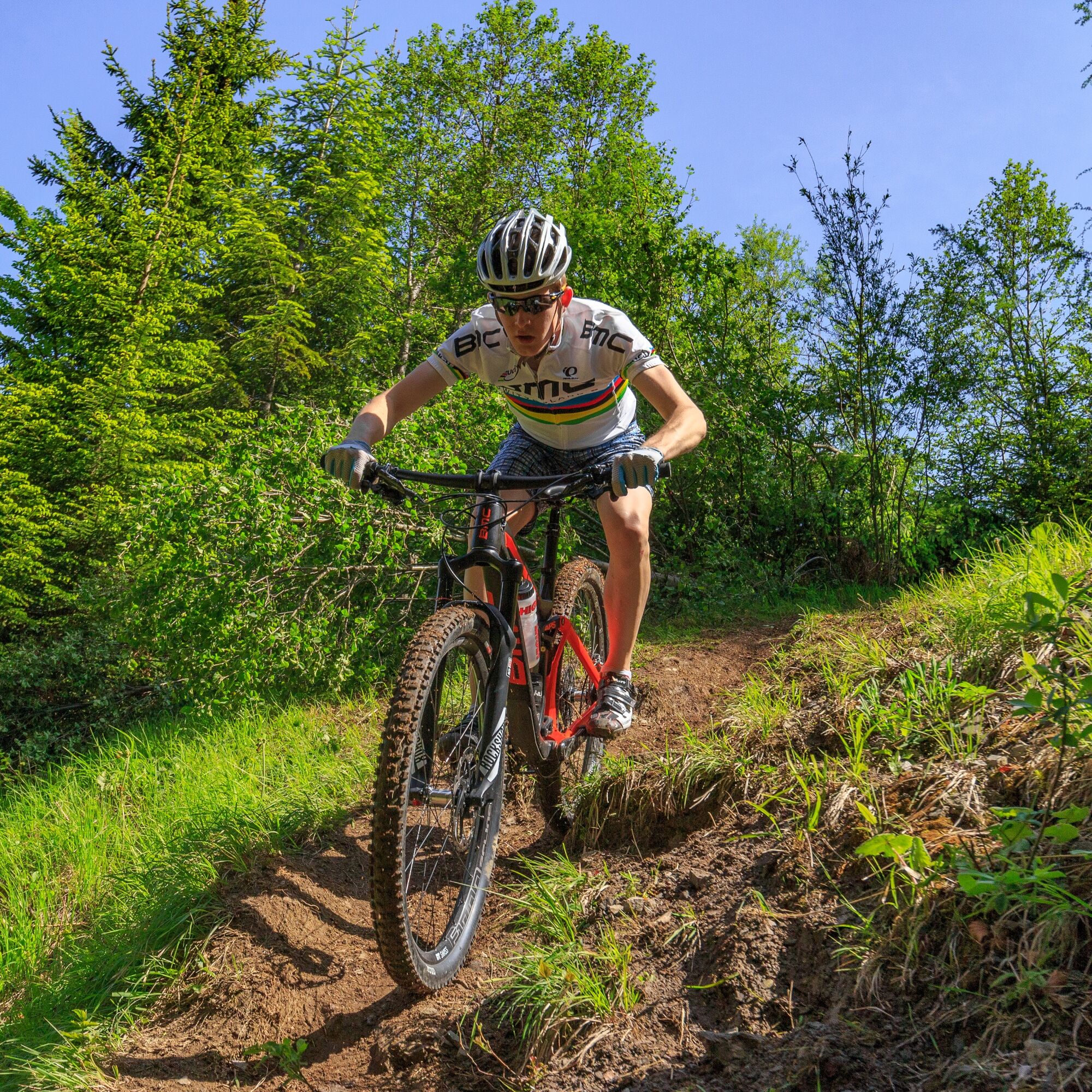
From the TVB in Kötschach Mauthen first approx. 900 meters on the federal road B110 to the church. After the church, at the fountain, turn right. After about 3.5 kilometres and 350 metres of altitude difference you reach the district of Lanz on an asphalt road. On the gravel road the route continues uphill past a hunting lodge (1,387 m) to the highest point of the circuit (no prominent point). After a short descent, a nearly 100-meter-long push-pull track follows uphill, over which one reaches the forest road towards Laas. Follow the gravel road downhill to the Laas Regional Hospital. From here an asphalt road leads to the federal road B110 - on this road back to the starting point. The tour can also be done by E-MTB - ATTENTION: the push route is short, but with a heavy bike it is accordingly strenuous.


Ascent:
The route starts at the town hall Kötschach-Mauthen – from here you follow the federal road B110 north (for about 900 m) – to the church. After the church, at the fountain, turn right and follow the paved side road. Slightly keep left for a short while to then continue straight uphill along the road. At the later junction, turn right towards "Lanz." You reach the district of Lanz after about 3.5 kilometers and 350 meters of elevation gain on an asphalt road.
Currently this route is only open up to here, to the end of the paved road!
On the gravel road (starting at kilometer 4.3) it continues uphill past a hunting lodge (1,387 m) – (at kilometer 7.1), to the highest point of the loop (no distinctive point – at kilometer 8.3).
Return/descent:
After a short descent you reach the forest road towards Laas. You follow the gravel road downhill to the Laas regional hospital (kilometer 14.5). From here an asphalt road leads to the federal road B110. At this point (kilometer 15.7) you turn left and ride back to the starting point.
FAIR PLAY & RESPECT:
Awareness of nature – landowners – your health... and safety in the mountains take top priority during your route and route planning!
Therefore, check the rules of conduct before every hike - Mountain safety - as well as the current weather conditions.
Waste disposal:
Waste is not always avoidable – but it has no place in nature and must be disposed of properly (preferably in the valley or at home).
Emergency numbers:
European emergency number: 112 (access in every available network)
Austrian alpine emergency number: 140
Arrival by car:
From Hermagor via the B111 (Gailtal road) or from Oberdrauburg via the B110 (Plöckenpass road) to Kötschach-Mauthen.
The most sustainable way to arrive is by train to Oberdrauburg (coming from Lienz or Villach) or to Hermagor (coming from Villach).
From Oberdrauburg or Hermagor you can then reach the town of Kötschach-Mauthen by bus.
Details at - Nassfeld mobility info as well as Kärntner Linien route planner
Free parking spaces are available at the town hall in Kötschach-Mauthen.
Are you looking for bike tips in the region or a certified guide for a guided bike route?
You will find this and many other infos at - Route tips and provider information
Places to eat:
In Kötschach-Mauthen and the surrounding villages there are numerous places to eat open all year round – details at Service A-Z.
Open for MTB riders - unless otherwise specified - during the following periods:
May 1 - August 31, from 9 a.m. to 7 p.m., and September 1 - October 31, from 9 a.m. to 5 p.m.
The route can also be ridden with an e-MTB.

Kamery internetowe z trasy

Popularne wycieczki w okolicy
-
5,0
Ederplan round from the parking lot Stronach
średniWędrówka 7,19 km -
4,8
Pirknerklamm (C)
średniVia ferrata 2 km -
4,3
Emberger Alm - Hochtristen
średniWędrówka 9,50 km -
4,7
Drau Cycle Path R1
światłoJazda na rowerze 75,9 km -
4,4
Mountain bike route from the Hubertus Chapel to the Wolayersee
ciężkiMountainbike 9,06 km -
4,8
Karnischer Hauptkamm - Hohe Warte 2.780m - Hike and Bike
ciężkiWycieczki górskie 19,5 km -
3,9
Summit hike to the Hochstadel
średniWędrówka 7,83 km -
3,7
Cellon-Stollen und Senza Confini auf den Cellon und Steinberger Weg zum Abstieg
średniVia ferrata 7,09 km -
5,0
Emberger Alm 3er: Nassfeld, H.Gränten, Knoten
średniWędrówka 11,6 km -
5,0
Plöckenhaus - Polinik - Plöckenhaus
ciężkiWędrówka 10,9 km
Wędrówki i tropienie


Nie przegap ofert i inspiracji na następne wakacje
Twój adres e-mail została dodana do listy mailingowej.





