


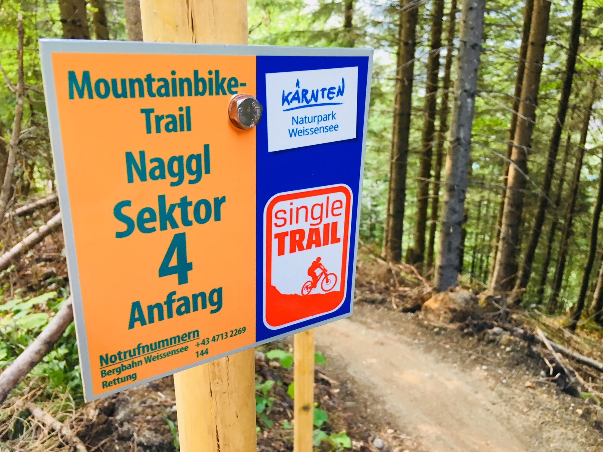
W12 - MTB Naggl Trail
Poziom trudności: S1
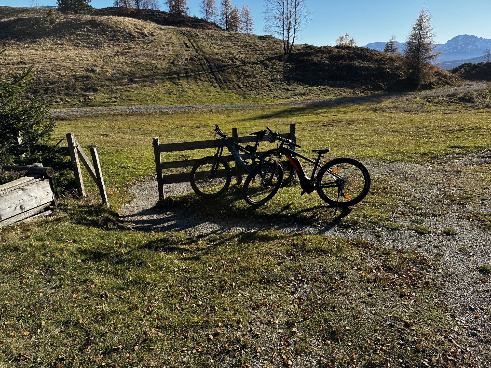
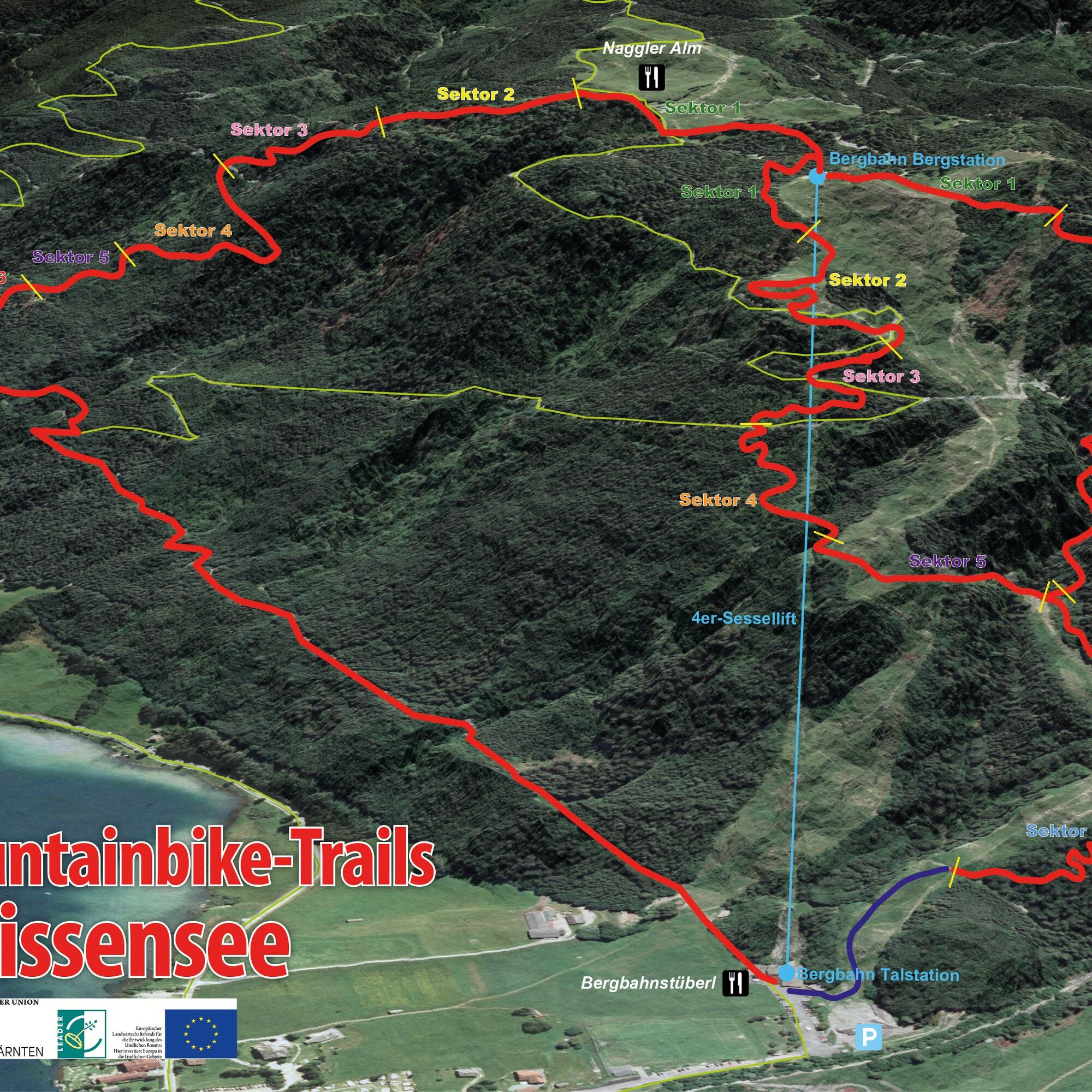
The trail entry is located behind the Naggler Alm hut. You can reach it comfortably with the Weissensee Bergbahn, which has its own mountain bike transport chairs, or alternatively via the MTB route MW5...
The trail entry is located behind the Naggler Alm hut. You can reach it comfortably with the Weissensee Bergbahn, which has its own mountain bike transport chairs, or alternatively via the MTB route MW5 (Naggler Alm). The route requires more advanced riding skills as it features root trails, hairpin bends, steep turns, and wave paths. It represents the upgrade from the MTB Weissensee trail and is essentially the golden mean of the single trail program at Weissensee. The route impresses with a unique alpine experience, forest passages, and constant views of the lake. Watch the trail HERE as a video.
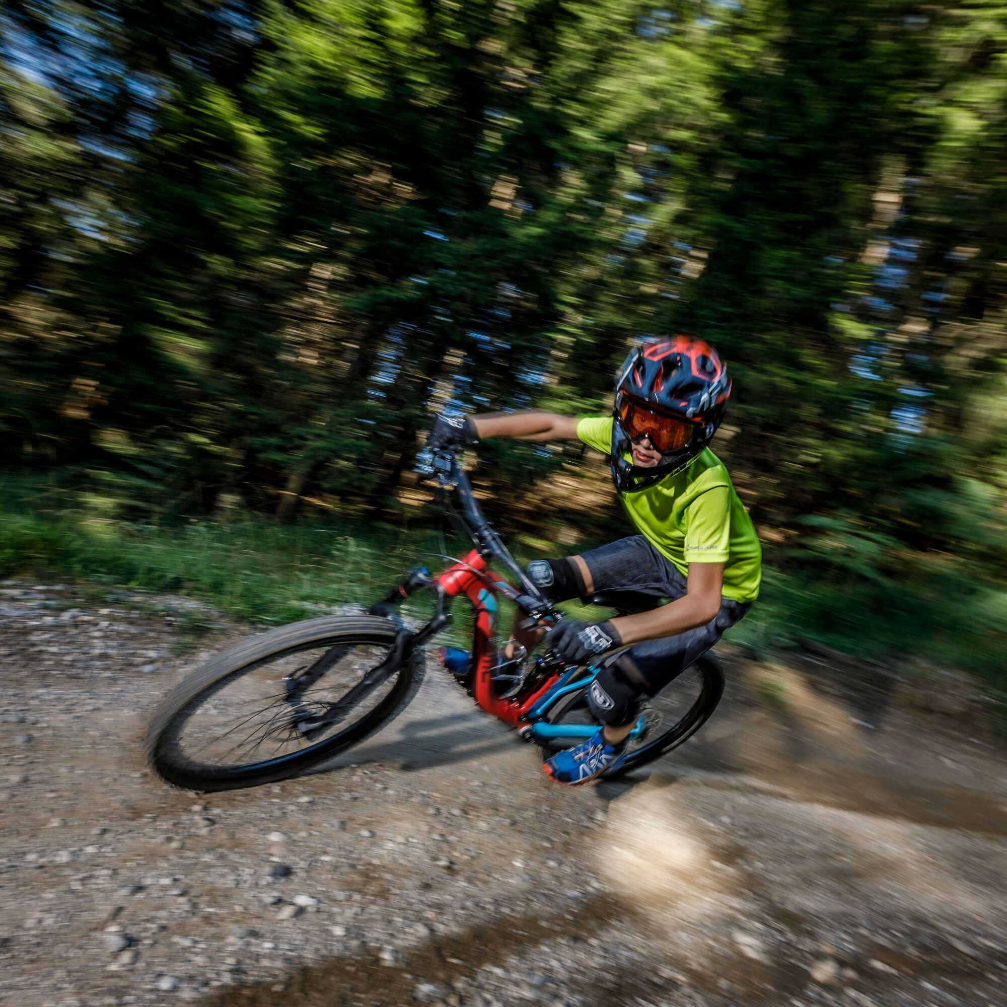

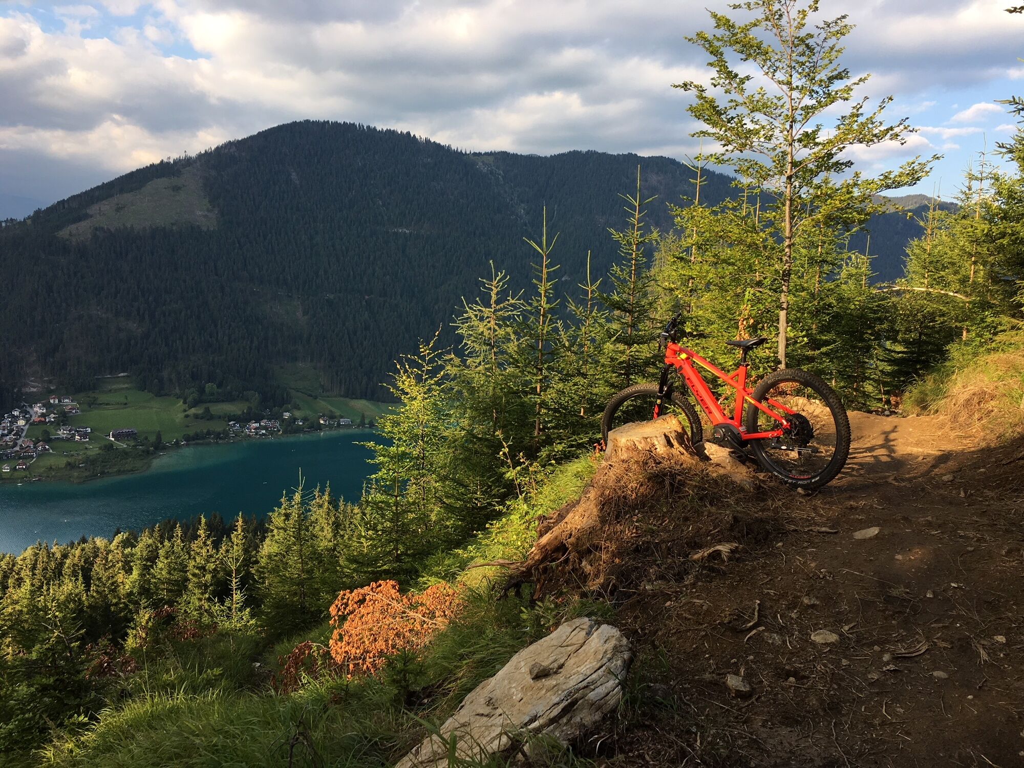
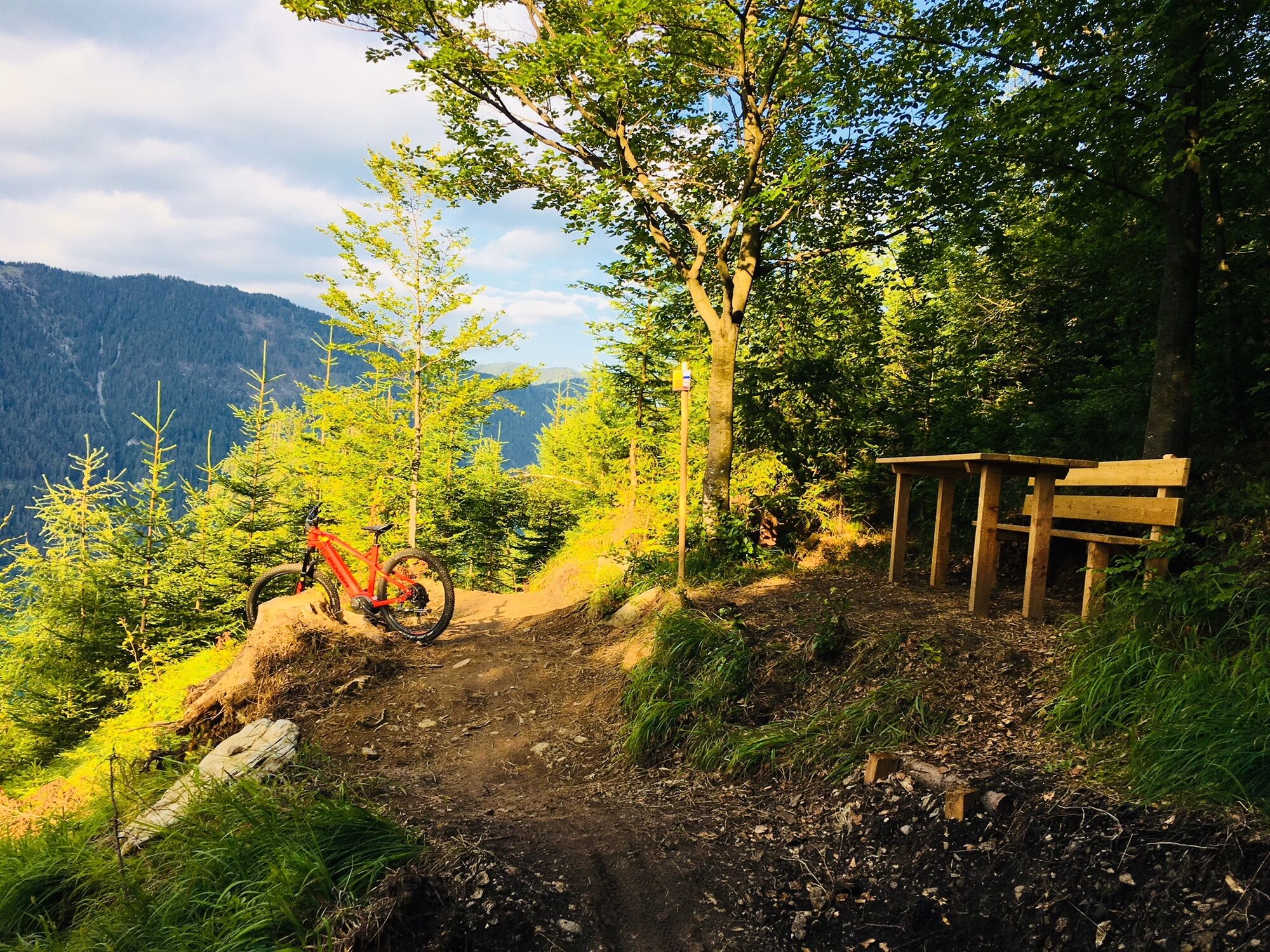
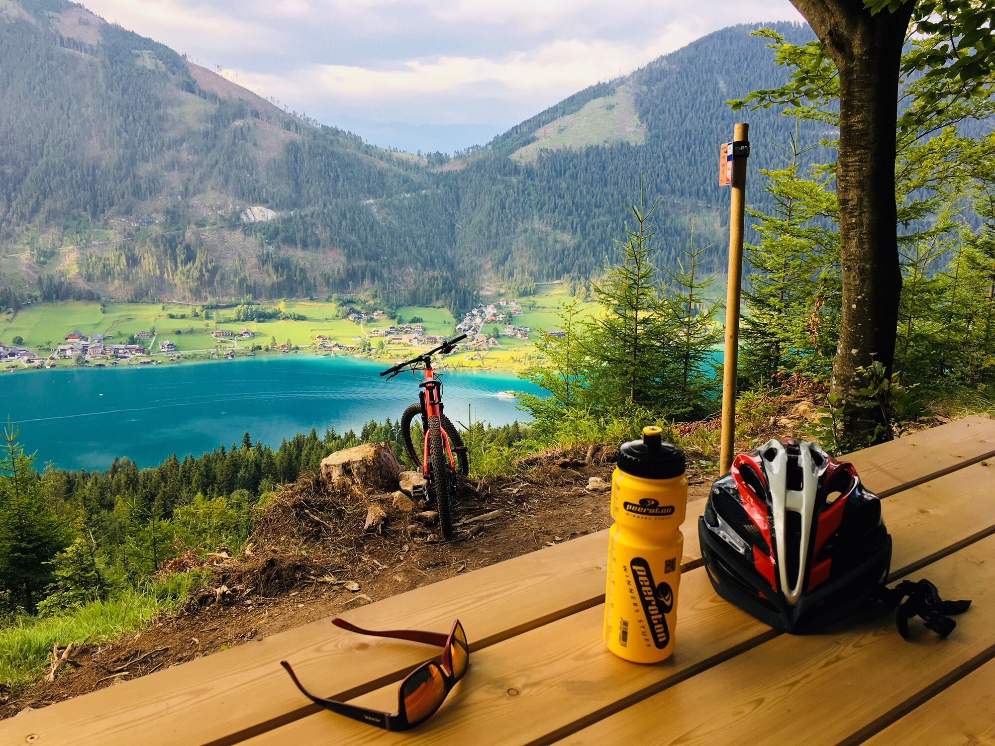
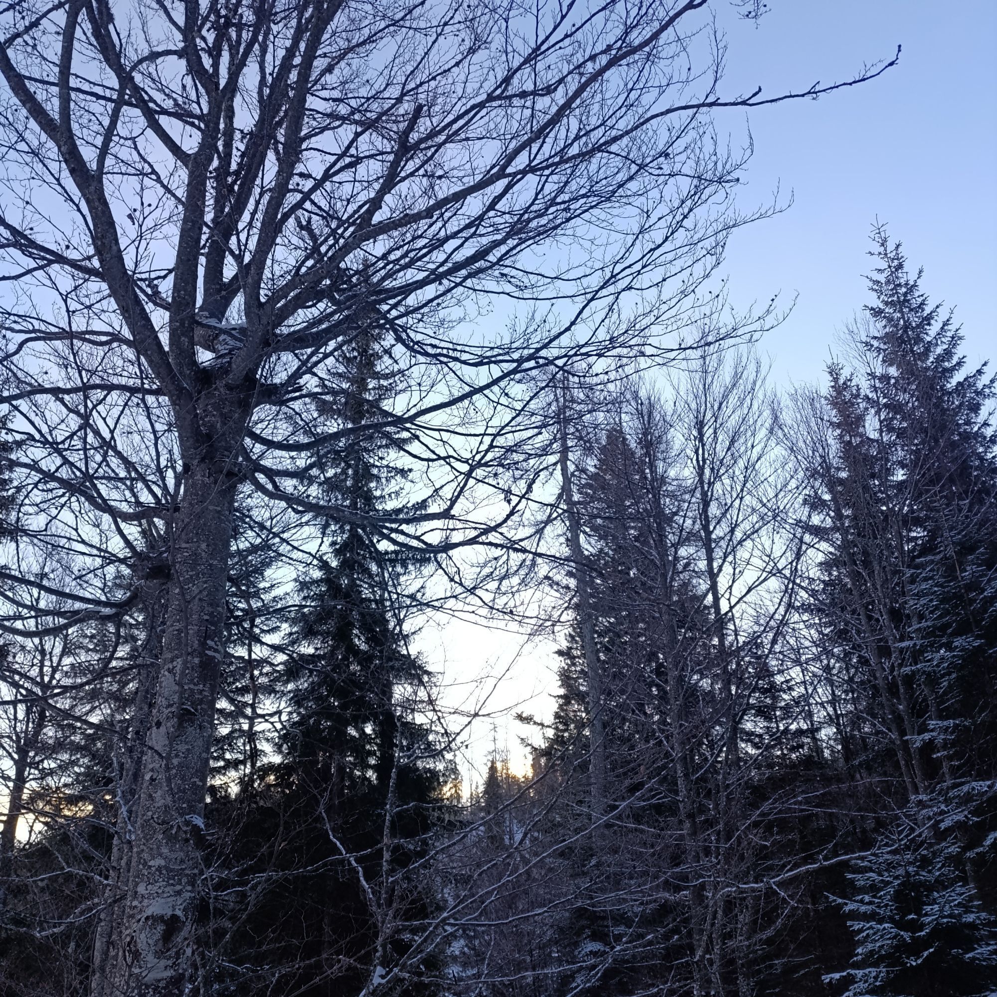
The trail leads down to the valley over root trails, hairpin bends, steep turns, and wave paths.
Always wear a helmet, as wearing one is mandatory.
For your own safety, also wear protectors, protective gear, and a full-face helmet.
Only ride with a suitable mountain bike.
Behavior Rules
Fair Play rules for orderly coexistence:
Please stay on the marked and signposted routes Use of the cycling routes is at your own risk Observe the bike maps and route descriptions Forest roads are operational areas and workplaces. Expect work machines, wood or potholes on the road, grazing livestock, and motor traffic Pay special attention to motor vehicles and pedestrians Ride at controlled speed. In case of sudden and unexpected obstacles, dismount and push your bike past the obstacle No riding at dusk to protect wildlife Opening hours: May 1 - August 31 from 9 a.m. to 8:30 p.m.; September 1 - October 31 from 9 a.m. to 5 p.m. In the forest, camping, staying overnight after dark, making fires, disturbing wildlife or entering forest cultures under 3 m tree height is legally prohibited Please always close pasture gates and doors. Be cautious during forestry work! Hikers always have priority over mountain bikers Keep the environment clean and avoid noise Observe traffic regulations and provide first aid if necessary Check your equipment regularly and wear a helmet Please also communicate these Fair Play rules and help raise awareness, thank you!Arrival:
From the north (D, NL, B, L, DK, SK): 1) Munich - Salzburg - Tauern Motorway (A10) - Spittal junction - Greifenburg - Weissensee
2) Munich - Salzburg - Bad Gastein (train loading - Tauern shuttle) - Mallnitz - Möllbrücke - Greifenburg - Weissensee
3) Munich - Großglockner High Alpine Road - Heiligenblut - Winklern - Iselsberg - Oberdrauburg - Greifenburg - Weissensee
4) Munich - Mittersill - Felbertauern road - Lienz - Oberdrauburg - Greifenburg - Weissensee
From the west (CH, F, I): Innsbruck - Mittersill - Felbertauern road or Brenner Motorway - Lienz - Oberdrauburg - Greifenburg - Weissensee
From the east (A, H): 1) South Motorway (A2) - Villach - Spittal - Greifenburg - Weissensee or Villach - towards Italy to Hermagor/Gailtal exit - Hermagor - Weissensee 2) West Motorway (A1) - Salzburg - Tauern Motorway (A10) - Spittal junction - Greifenburg - Weissensee
From the south (I, SLO, HR): 1) Udine - Tarvisio - Hermagor/Gailtal exit - Hermagor - Weissensee 2) Ljubljana - Karawanken Tunnel - Villach - towards Italy to Hermagor/Gailtal exit - Hermagor - Weissensee
...by train
Travel comfortably and stress-free by train! Use the shuttle service from the Greifenburg train station to the Naturpark Weissensee, which is 10 km away. Shuttle reservations at: www.naturparkshuttle.com (reservation by 6 p.m. the day before)
Near Weissensee Bergbahn valley station - fee required!
S1
Stay in a partner business of the Weissensee Bergbahn and use it as often as you want for free.
At the end of the single trail, near the mountain railway valley station, there is also a bike washing station where traces of the ride can be removed
Popularne wycieczki w okolicy
- 4,9
W10 - Large lake round - Weissensee
ciężkiMountainbike 31,5 km - 4,8
Parkplatz Seetal - STAFF und retour
średniWędrówka 13,2 km - 5,0
RW_N9 Weißenbachklamm
średniWędrówka 7,49 km - 4,9
Weissensee Ost- nach Westufer
światłoWędrówka 10,2 km - 4,6
W5 - Naggler Alm Round Weissensee
średniMountainbike 15,8 km - 4,8
Drau Cycle Path R1
światłoJazda na rowerze 75,9 km - 5,0
Bodenalm - Ostufer - mit dem Schiff zurück
Mountainbike 19,1 km - 4,2
RW_N16 Slow Trail Pressegger See
światłoWędrówka 5,73 km - 4,9
Weißenbachklamm
ciężkiWędrówka 5,80 km - 4,5
WY_W2 hike to the Alm behind the Brunn
średniWędrówka zimą 3,04 km

Wędrówki i tropienie


Nie przegap ofert i inspiracji na następne wakacje
Twój adres e-mail została dodana do listy mailingowej.