


LS_W2 "Urschitz"
Poziom trudności: 3
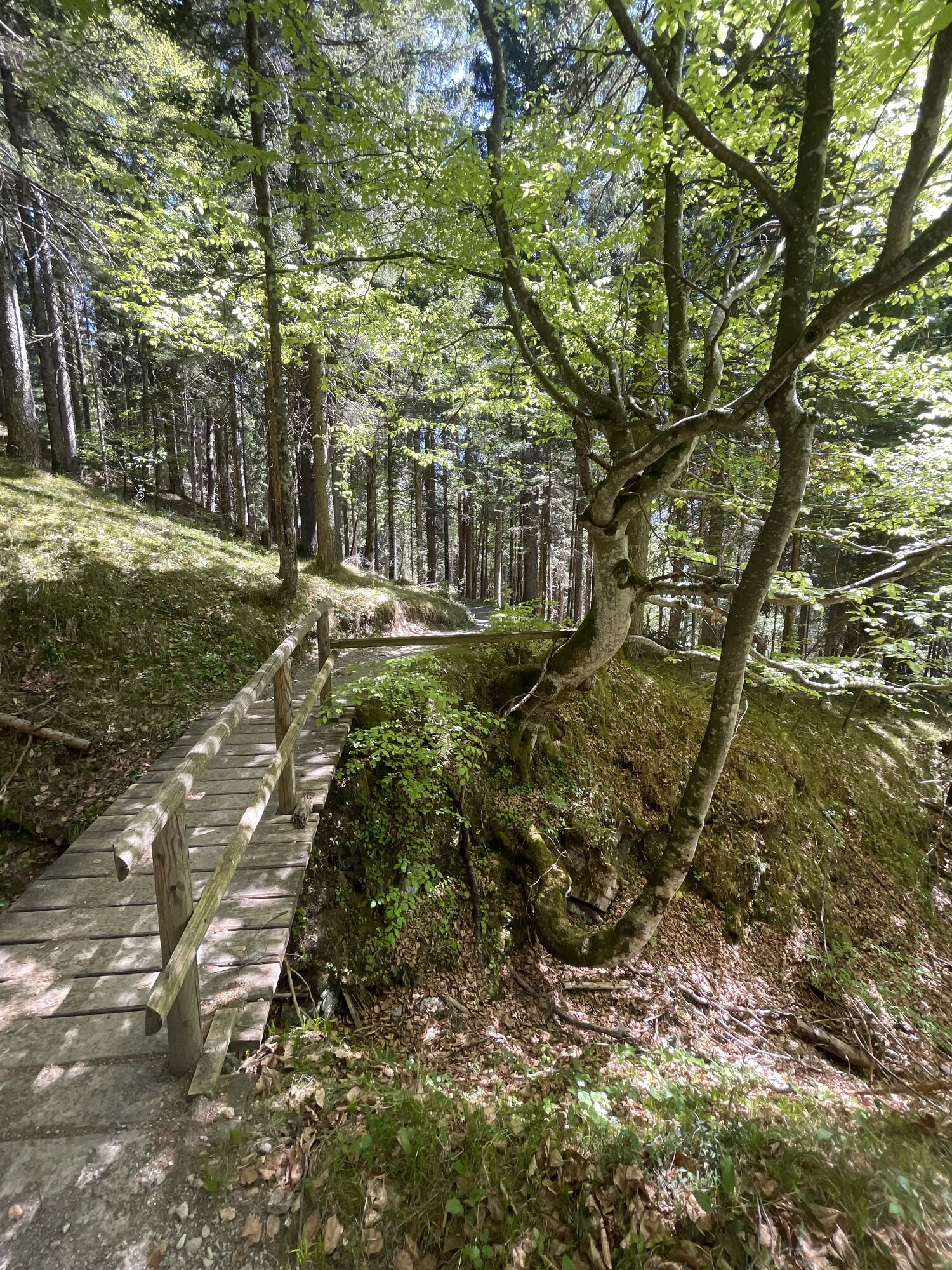
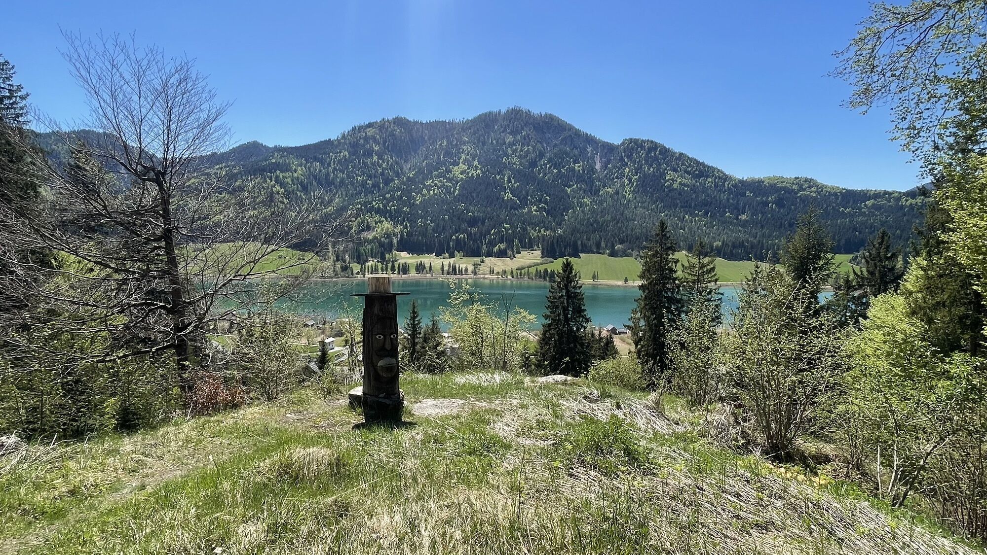
Mostly flat route on the sunny side with gentle, short uphill sections on the northern forest path up to Urschitz and along the promenade path.


From the starting point, the route leads us along the northern forest path heading west. Soft forest ground invites you. On the return, the path leads us along the lakeside promenade until we reach the end of our running round. Wonderful view of the lake and the surrounding mountain scenery.
Running shoes recommended
From the North (D, NL, B, L, DK, SK): 1) Munich - Salzburg - Tauern Motorway (A10) - Spittal junction - Greifenburg - Weissensee
2) Munich - Salzburg - Badgastein (train loading - Tauern lock) - Mallnitz - Möllbrücke - Greifenburg - Weissensee
3) Munich - Großglockner High Alpine Road - Heiligenblut - Winklern - Iselsberg - Oberdrauburg - Greifenburg - Weissensee
4) Munich - Mittersill - Felbertauern Road - Lienz - Oberdrauburg - Greifenburg - Weissensee
From the West (CH, F, I): Innsbruck - Mittersill - Felbertauern Road or Brenner Motorway - Lienz - Oberdrauburg - Greifenburg - Weissensee
From the East (A, H): 1) Southern Motorway (A2) - Villach - Spittal - Greifenburg - Weissensee or Villach - towards Italy to Hermagor/Gailtal exit - Hermagor - Weissensee 2) Western Motorway (A1) - Salzburg - Tauern Motorway (A10) - Spittal junction - Greifenburg - Weissensee
From the South (I, SLO, HR): 1) Udine - Tarvisio - Hermagor/Gailtal exit - Hermagor - Weissensee 2) Ljubljana - Karawank Tunnel - Villach - towards Italy to Hermagor/Gailtal exit - Hermagor - Weissensee
Overflow parking lot, opposite the gas station. Continue by bus to Gatschach.
3
Popularne wycieczki w okolicy
- 4,9
W10 - Large lake round - Weissensee
ciężkiMountainbike 31,5 km - 4,8
Parkplatz Seetal - STAFF und retour
średniWędrówka 13,2 km - 4,8
RW_N9 Weißenbachklamm
średniWędrówka 7,49 km - 4,6
W5 - Naggler Alm Round Weissensee
średniMountainbike 15,8 km - 4,7
Drau Cycle Path R1
światłoJazda na rowerze 75,9 km - 4,9
Weissensee Ost- nach Westufer
światłoWędrówka 10,2 km - 4,0
Emberger Alm - Hochtristen
średniWędrówka 9,50 km - 5,0
Bodenalm - Ostufer - mit dem Schiff zurück
Mountainbike 19,1 km - 4,9
Weißenbachklamm
ciężkiWędrówka 5,80 km - 4,5
WY_W2 hike to the Alm behind the Brunn
średniWędrówka zimą 3,04 km

Wędrówki i tropienie


Nie przegap ofert i inspiracji na następne wakacje
Twój adres e-mail została dodana do listy mailingowej.