







KL_N3 Winkelturm

Poziom trudności: B/C
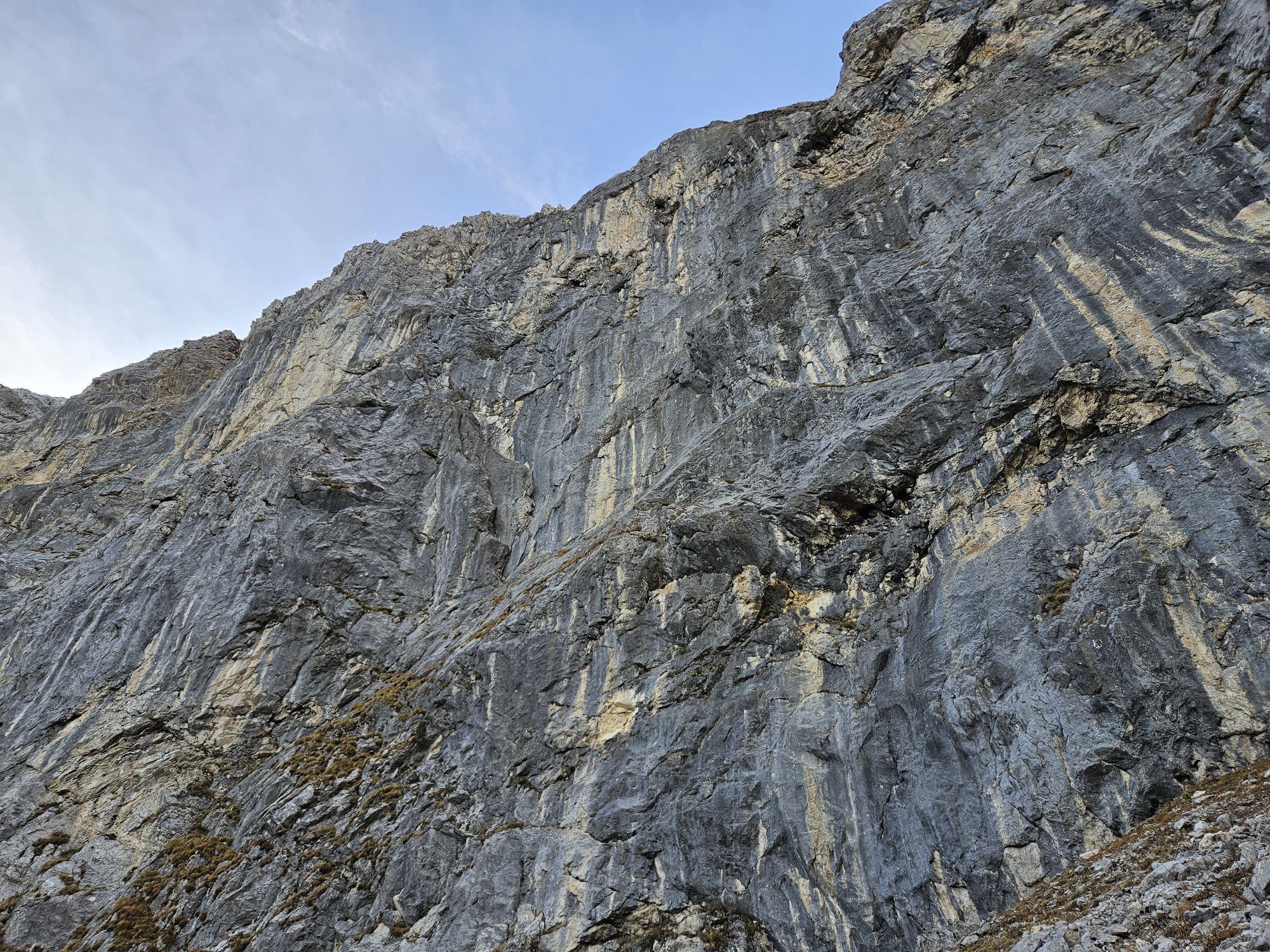
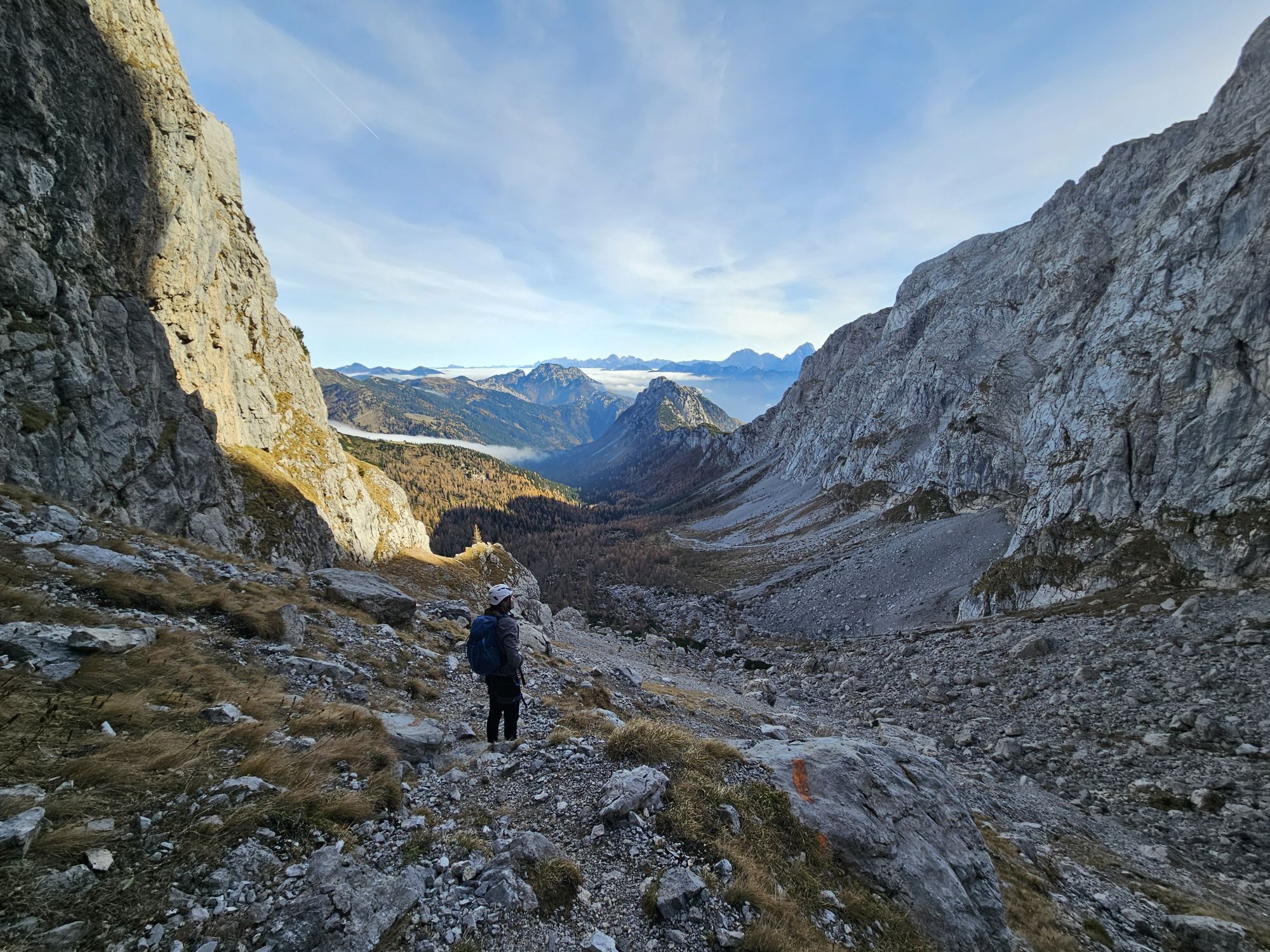
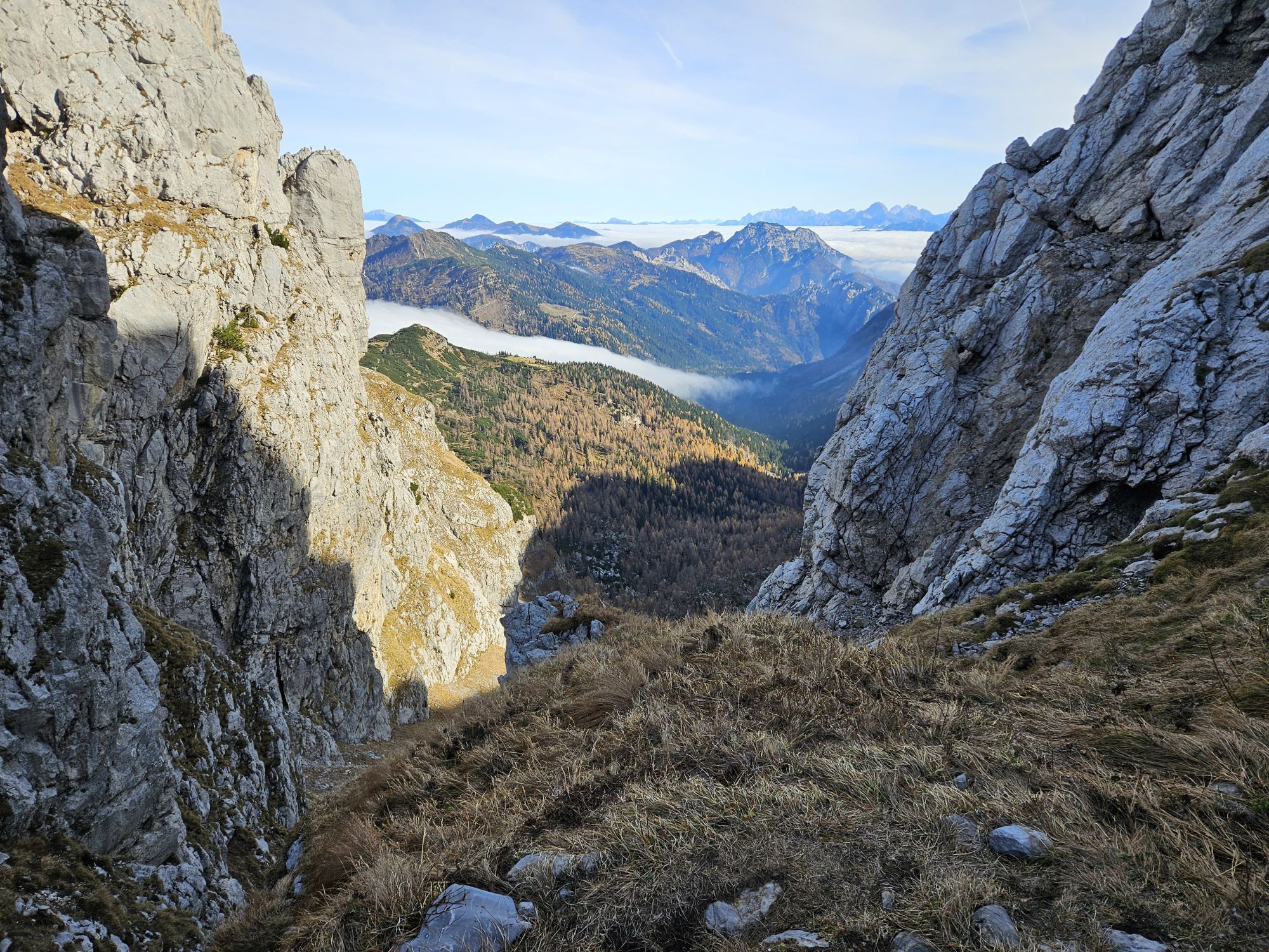
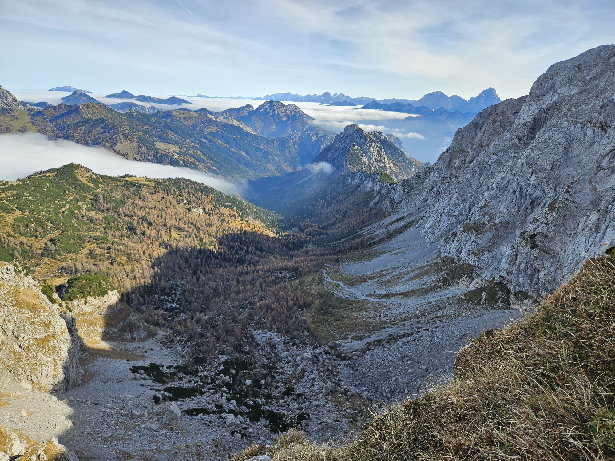
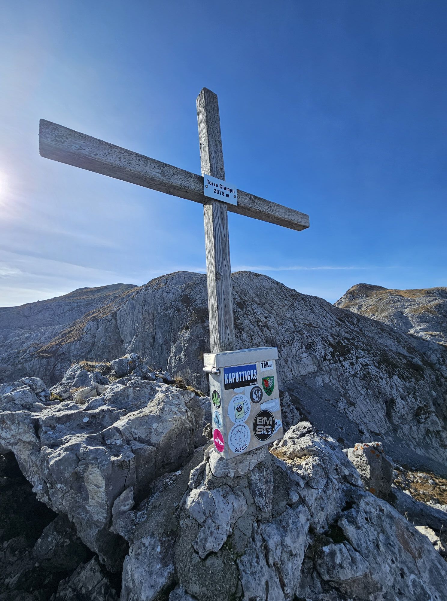
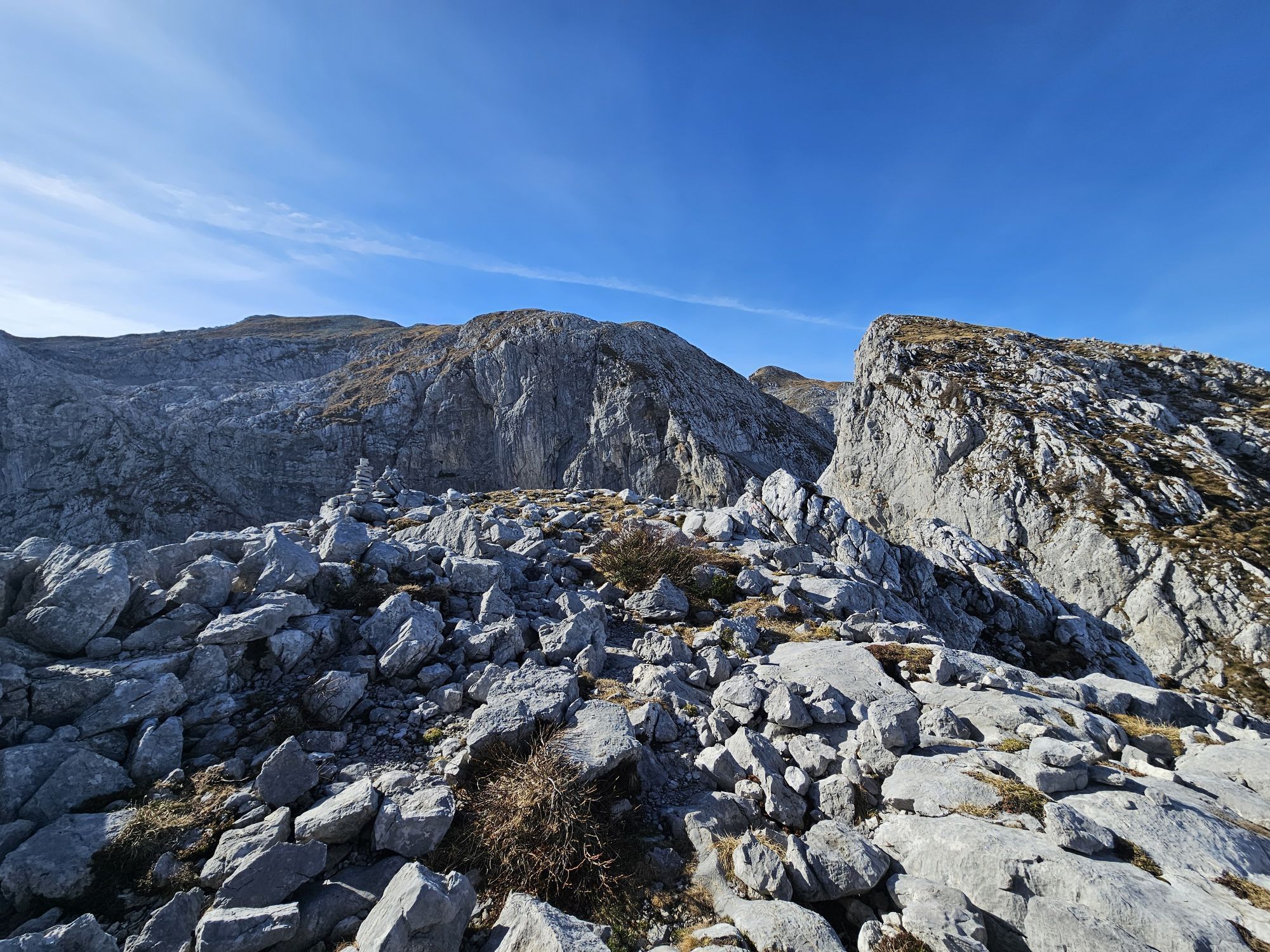
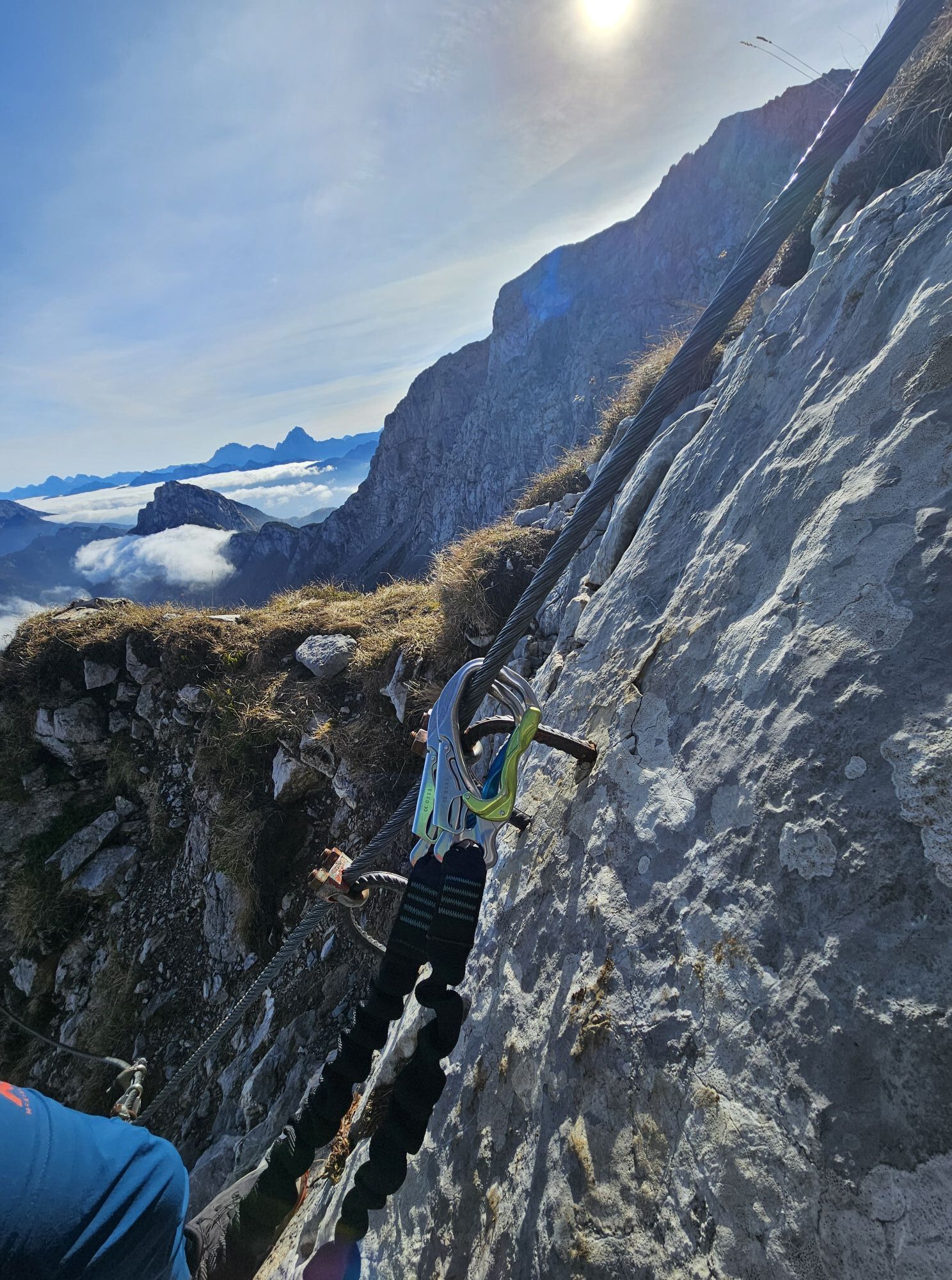
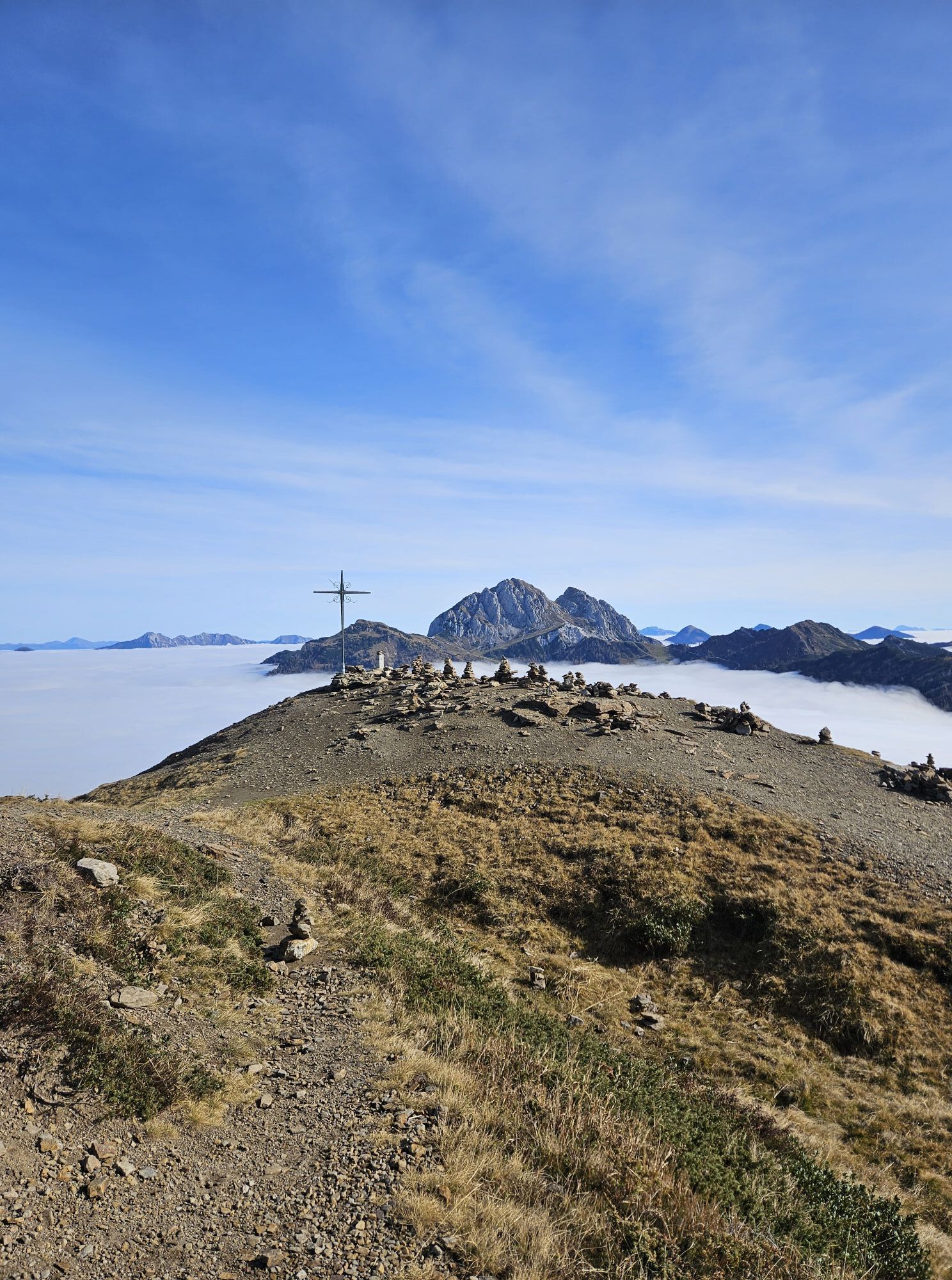
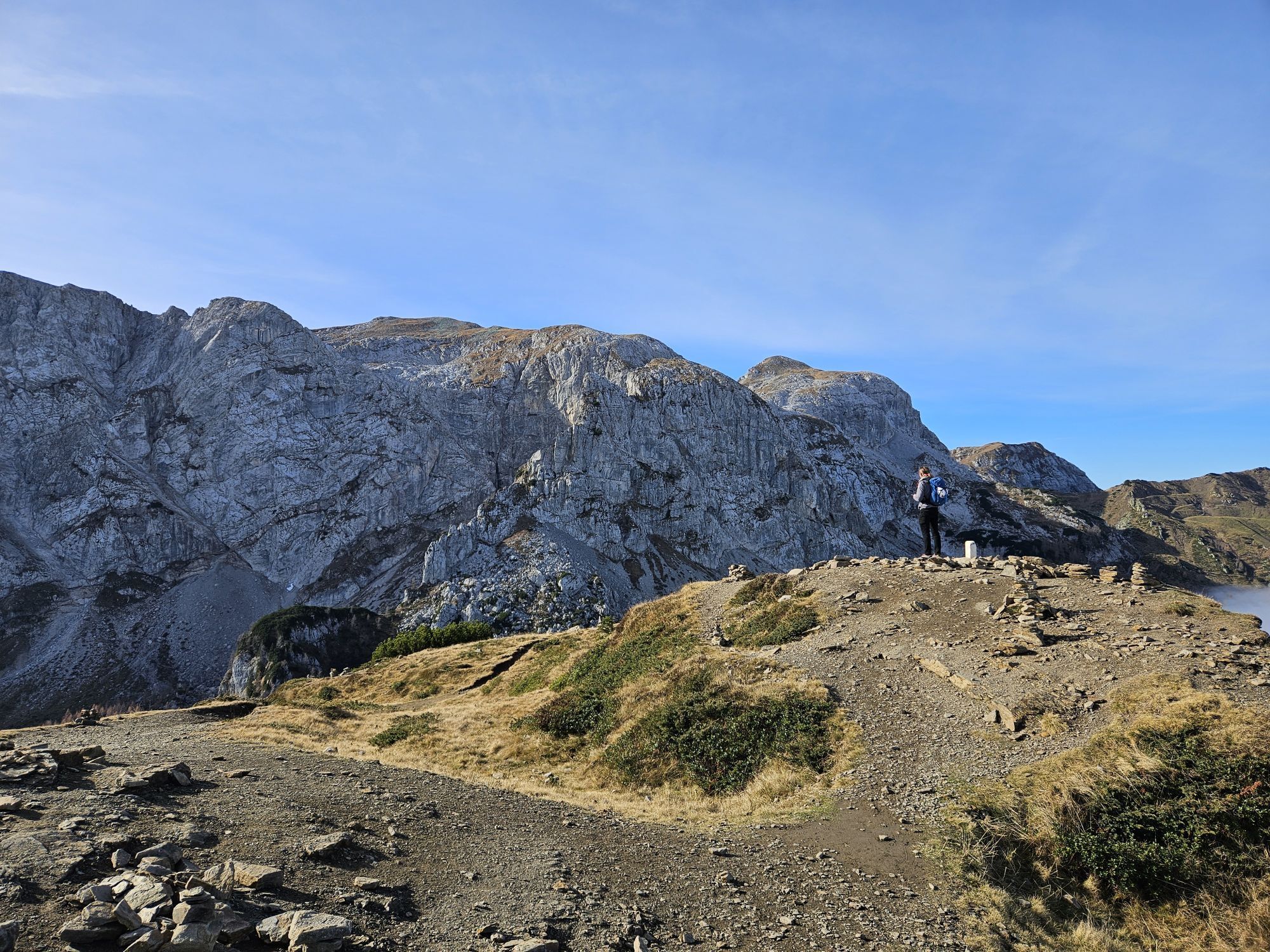
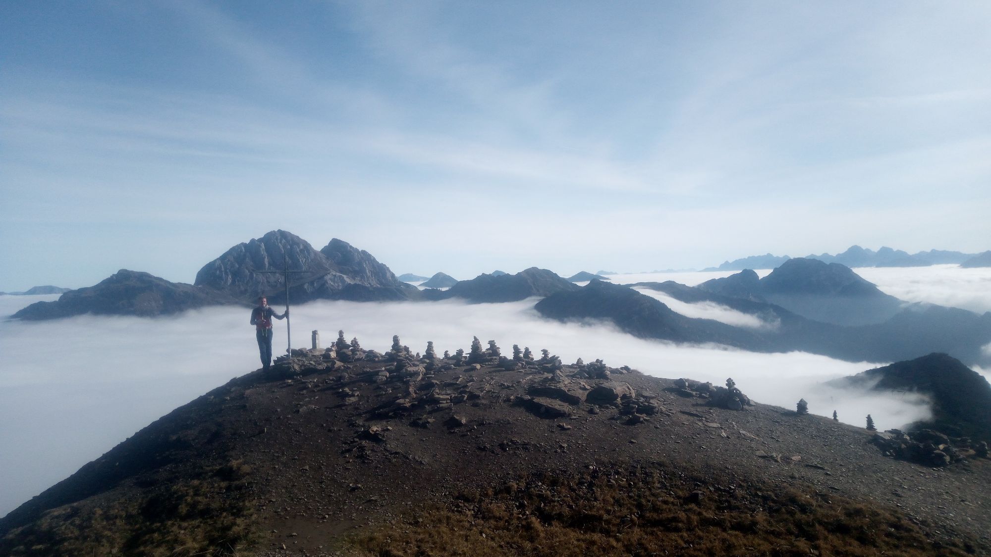
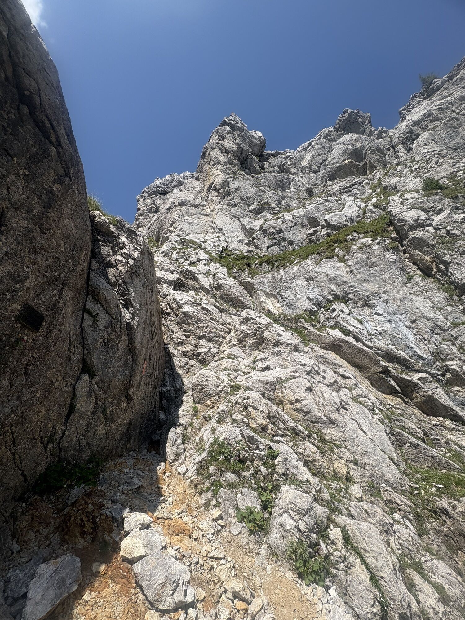
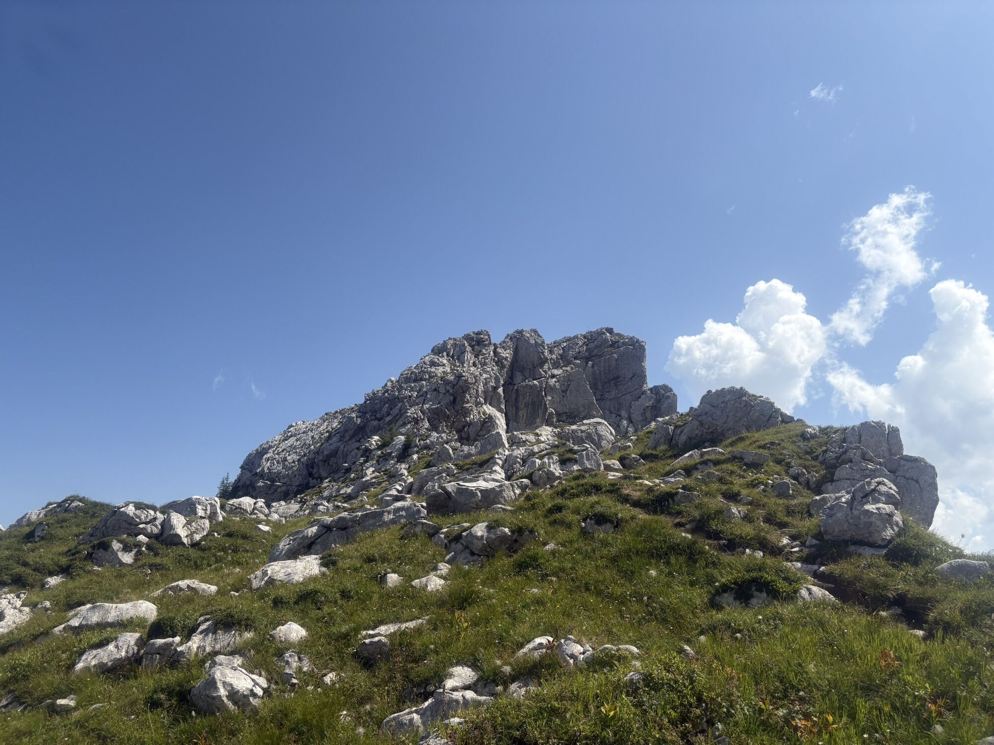
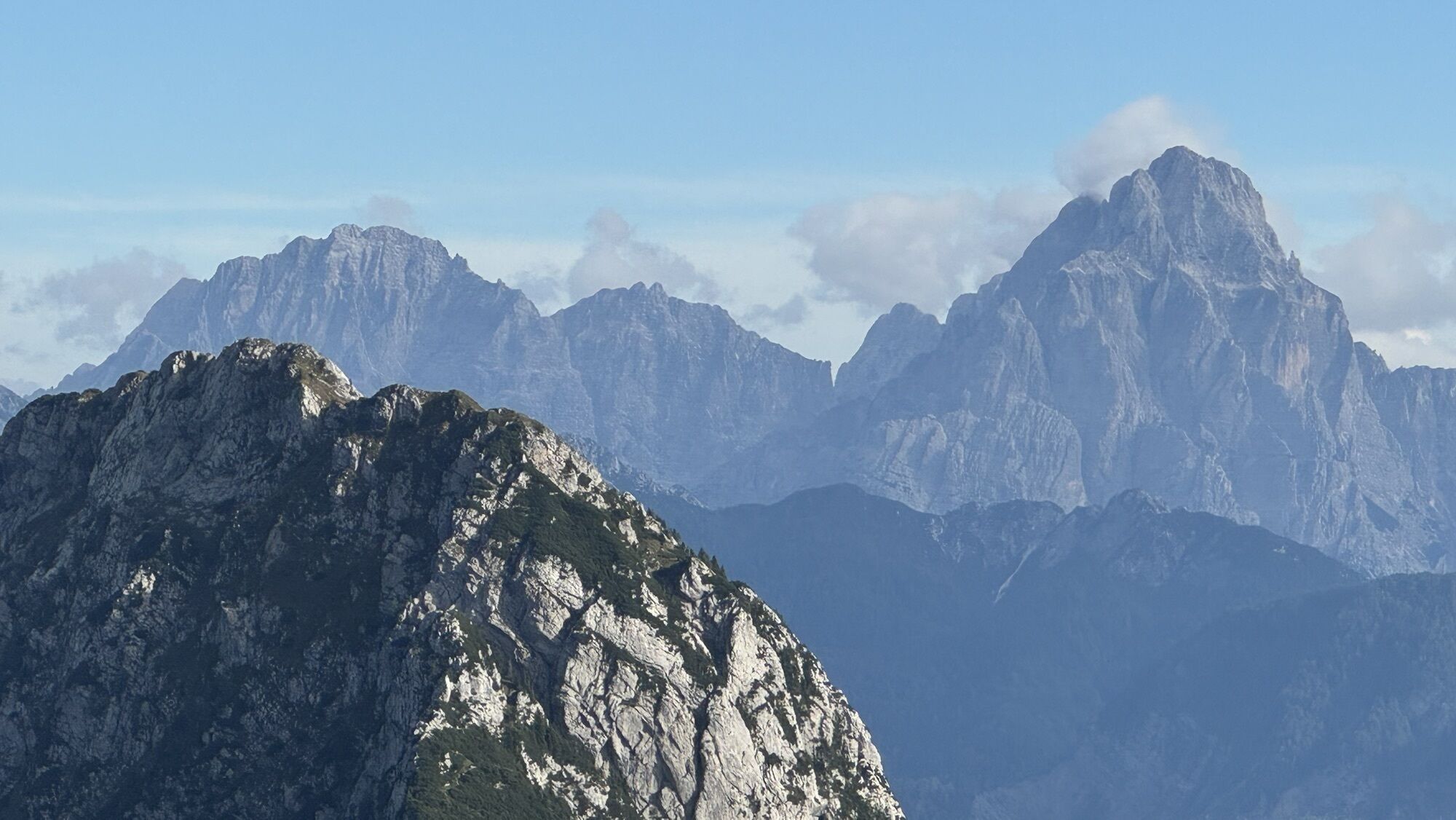
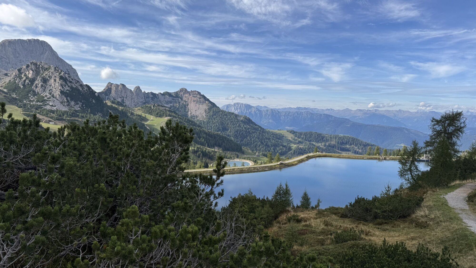
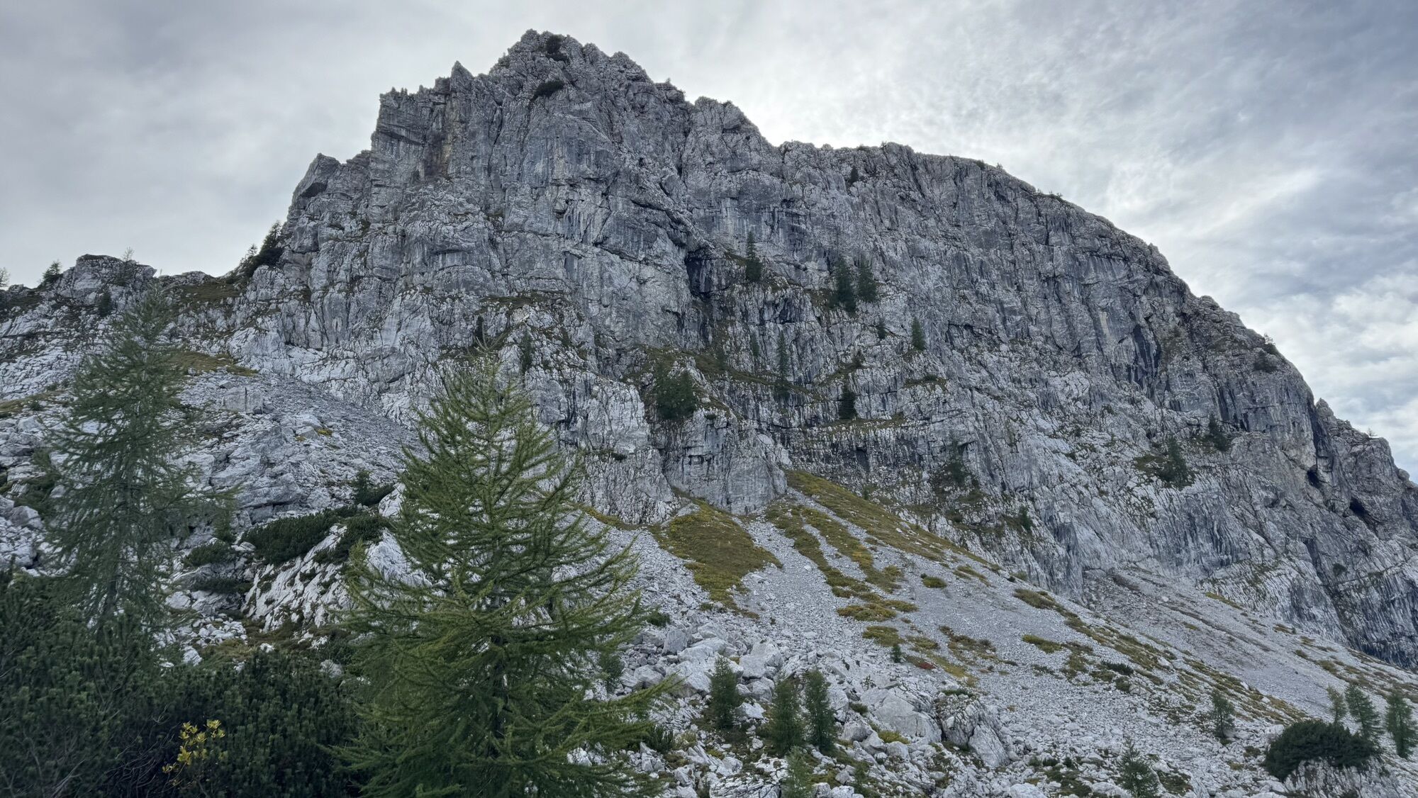
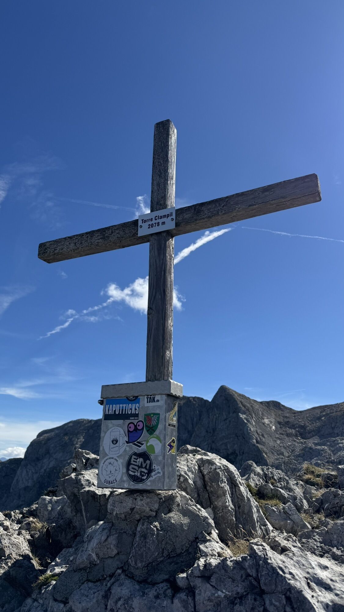
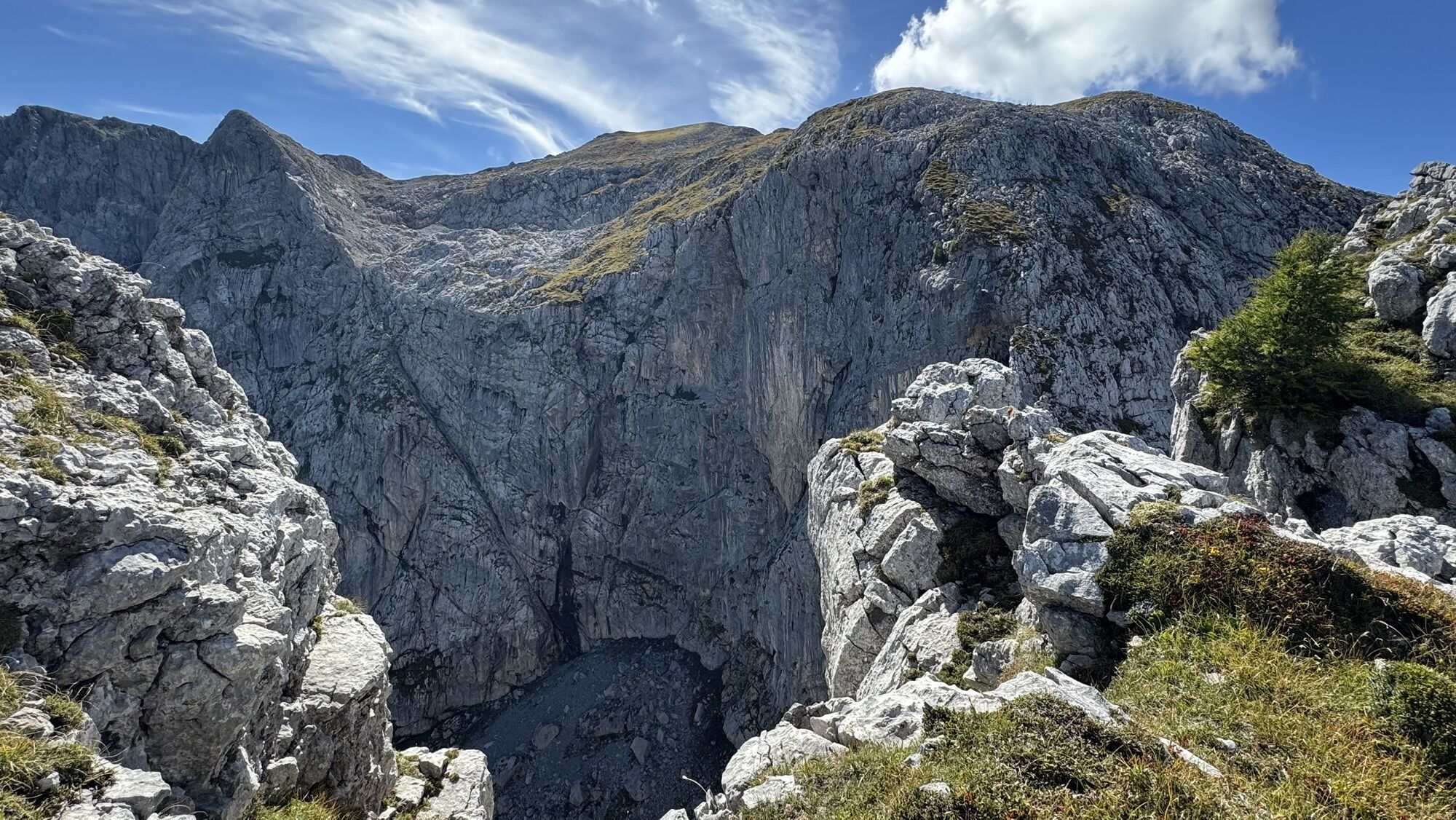
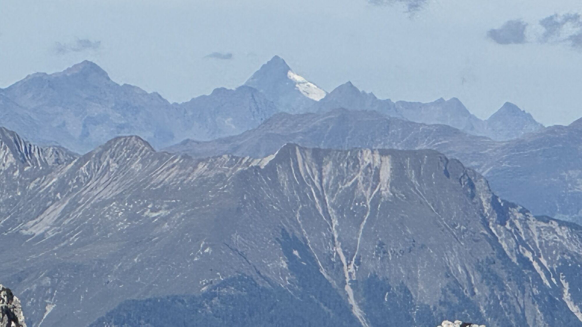
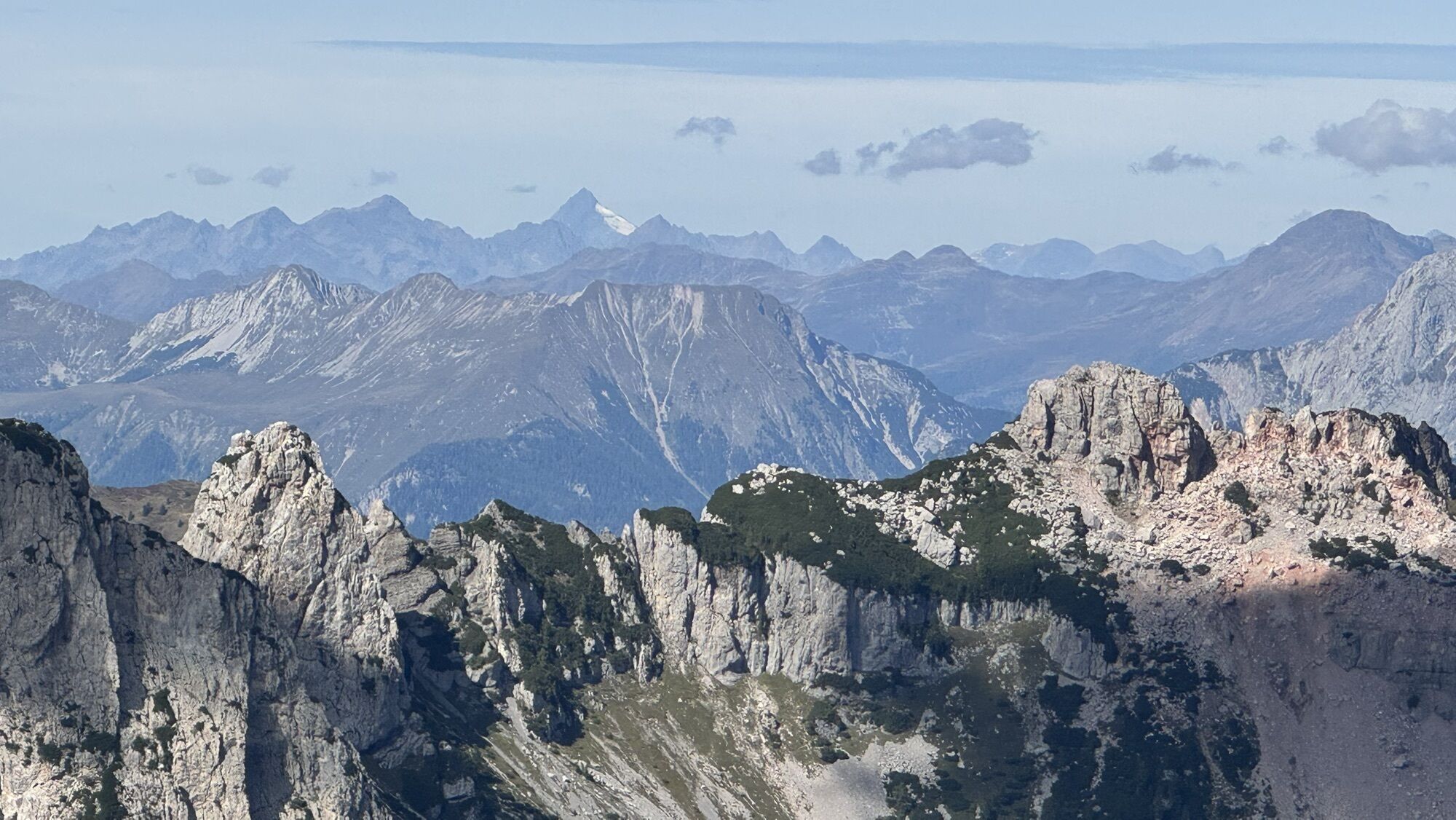
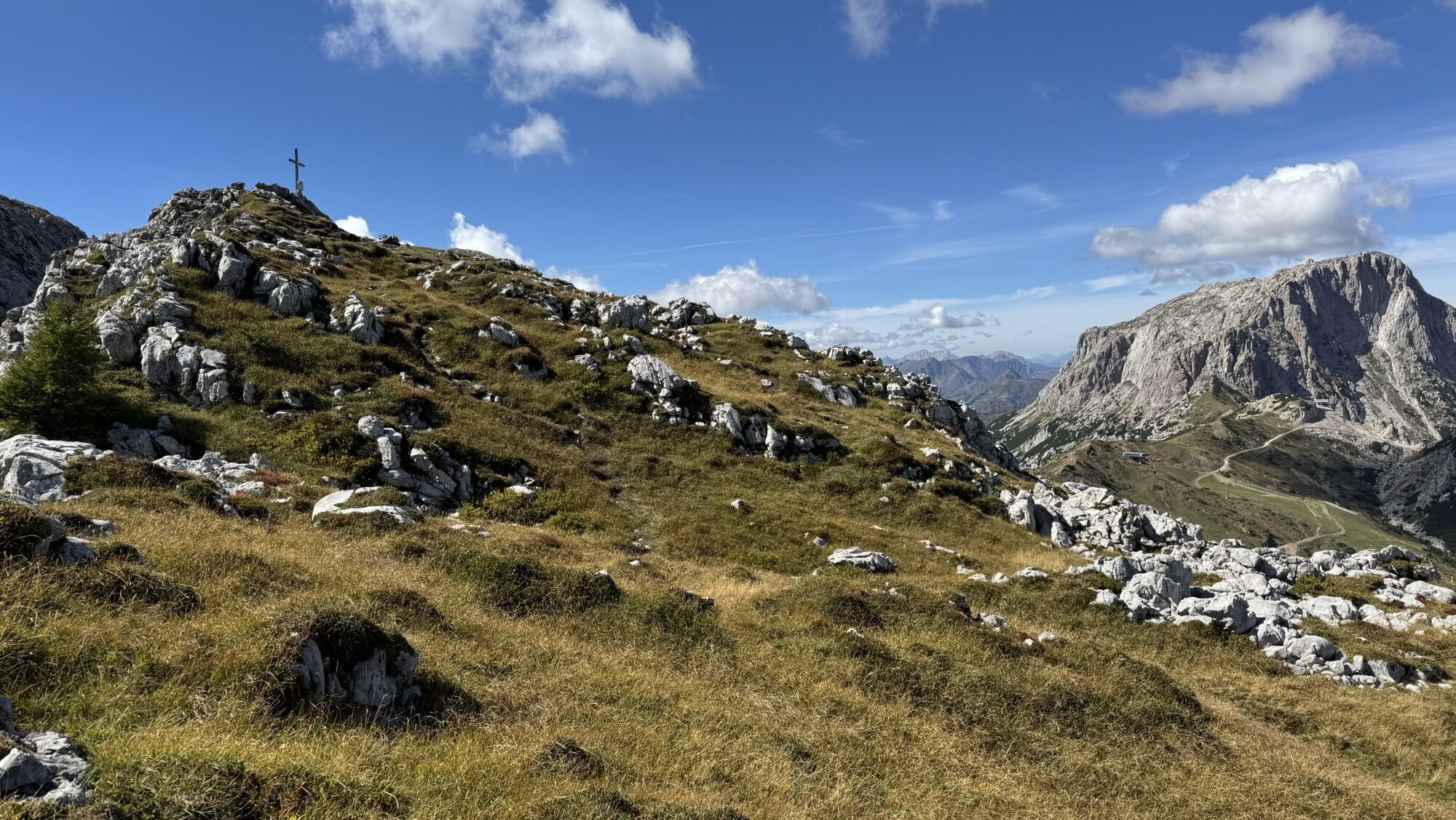
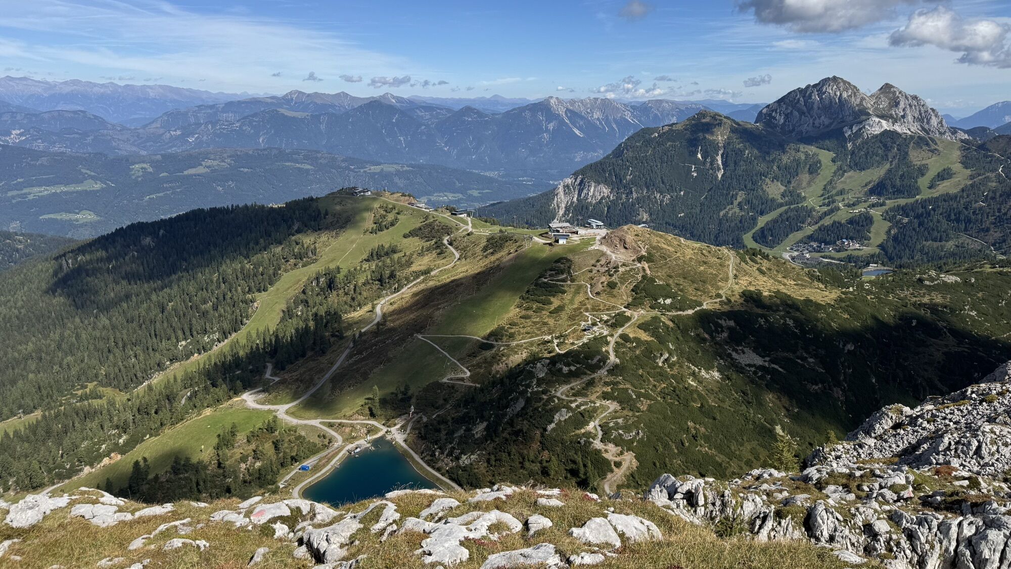
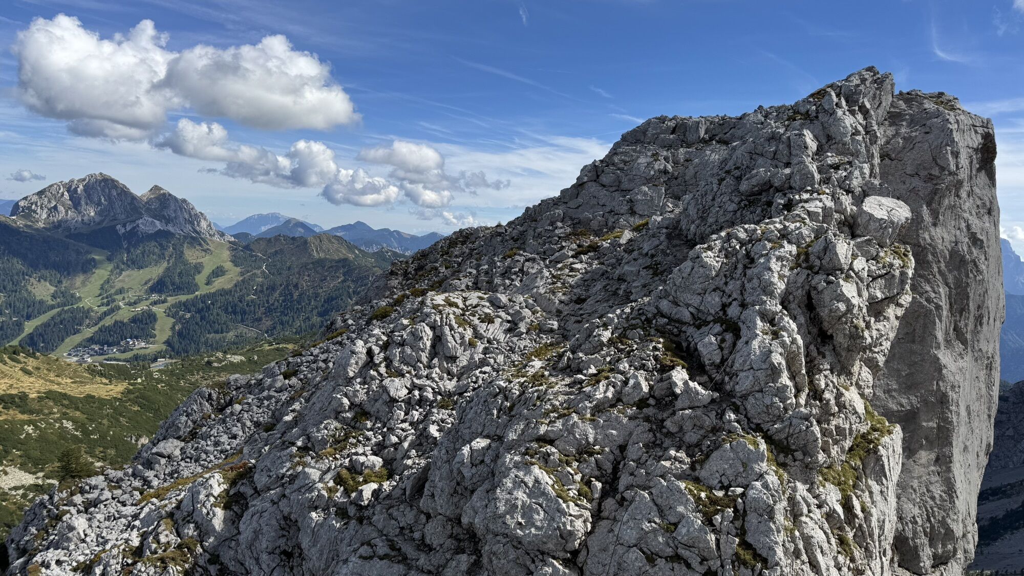
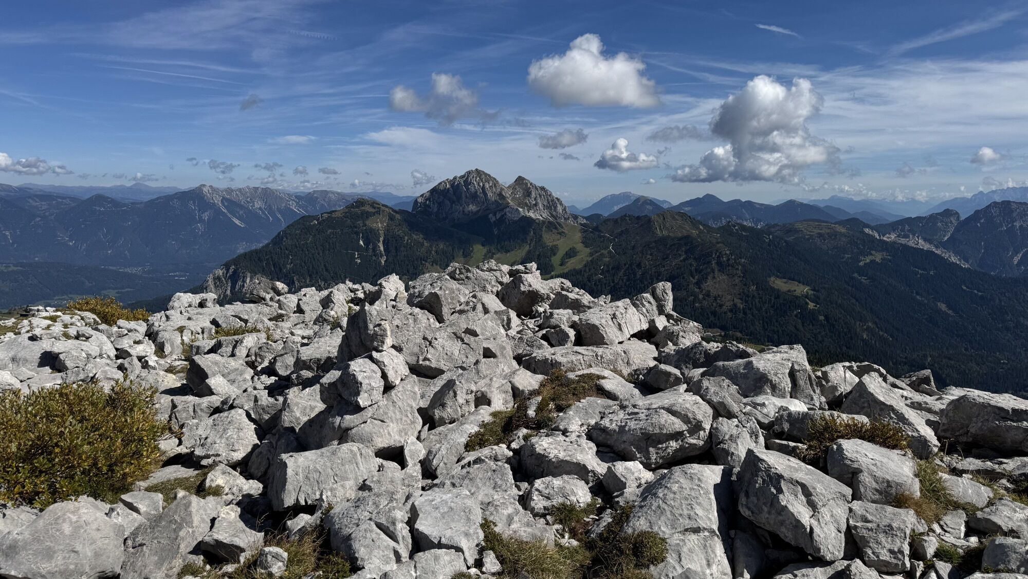
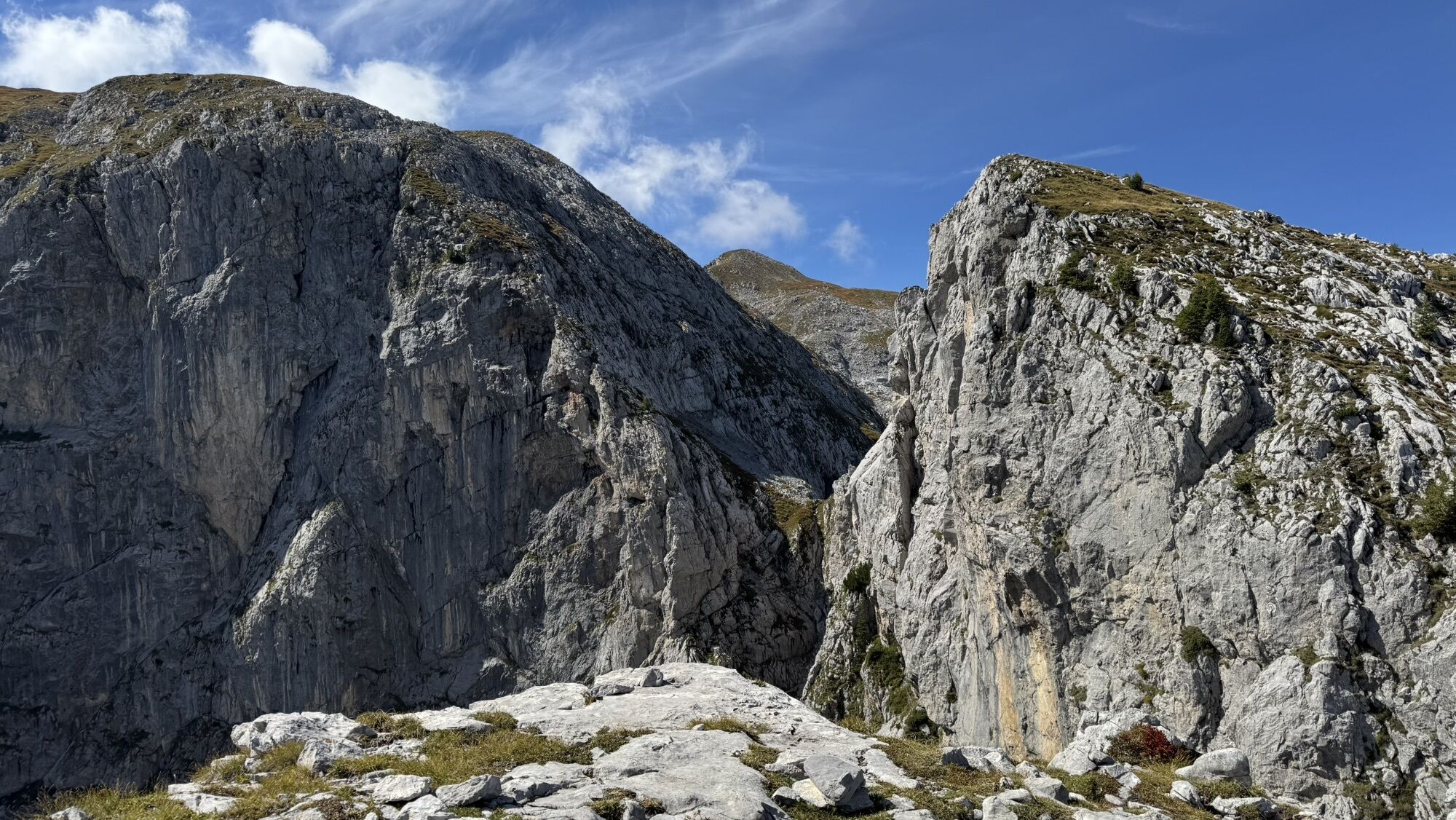
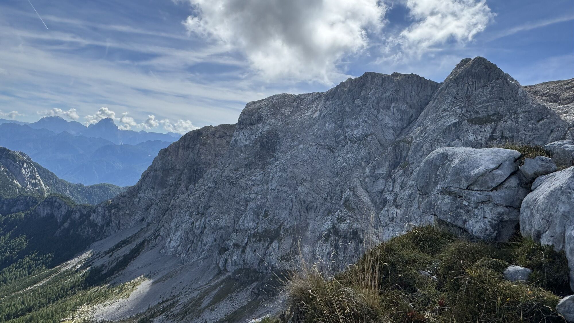
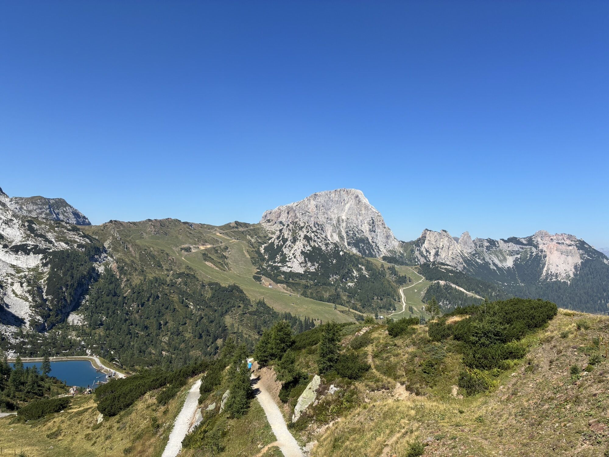
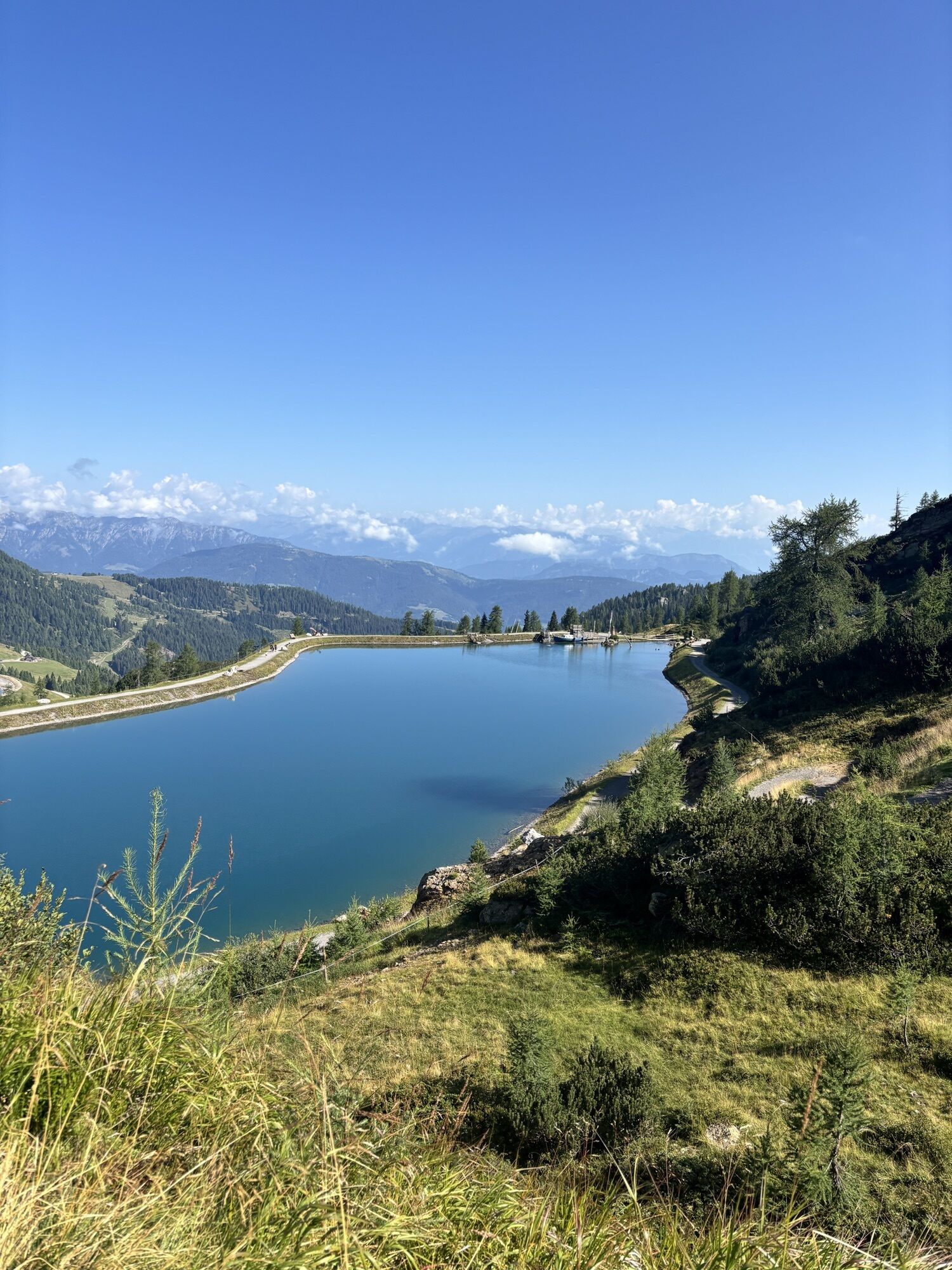
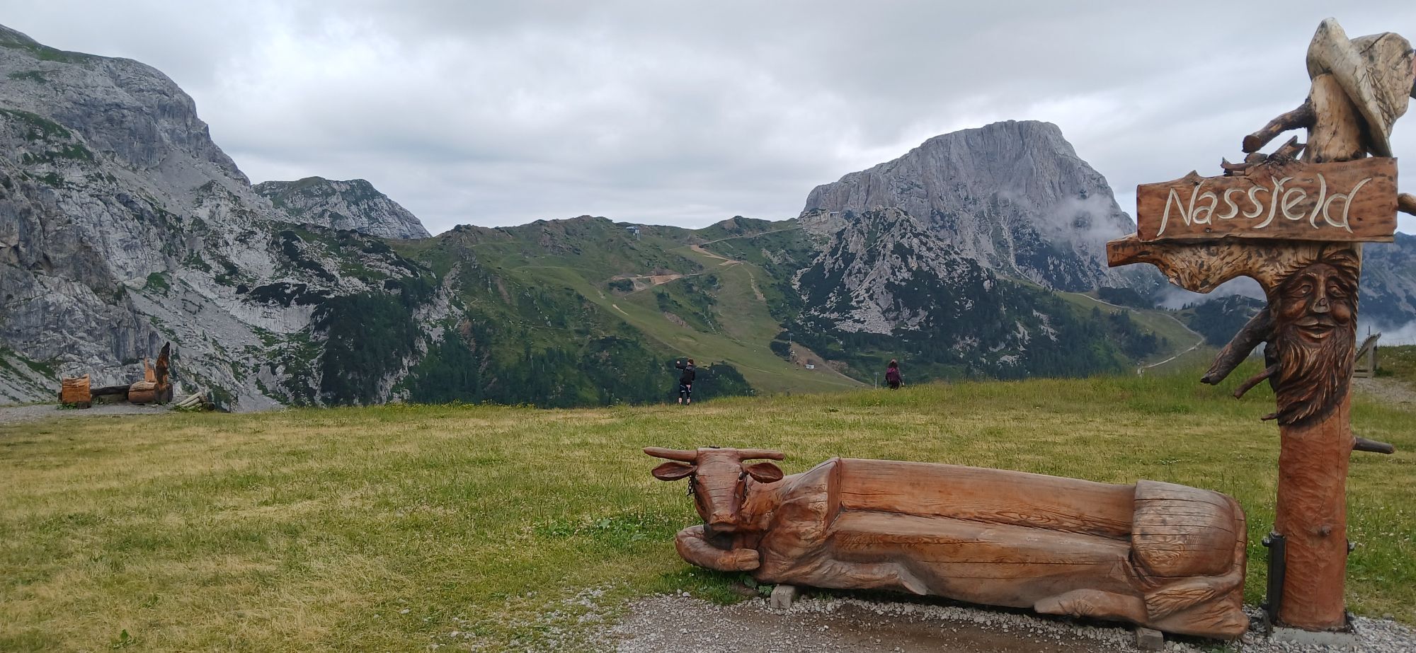
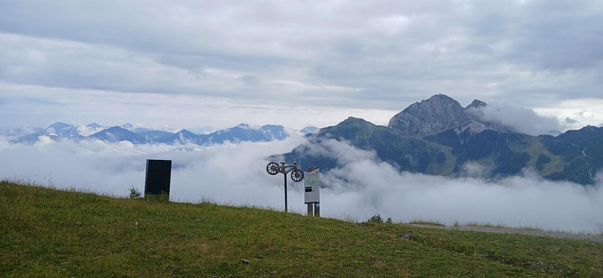
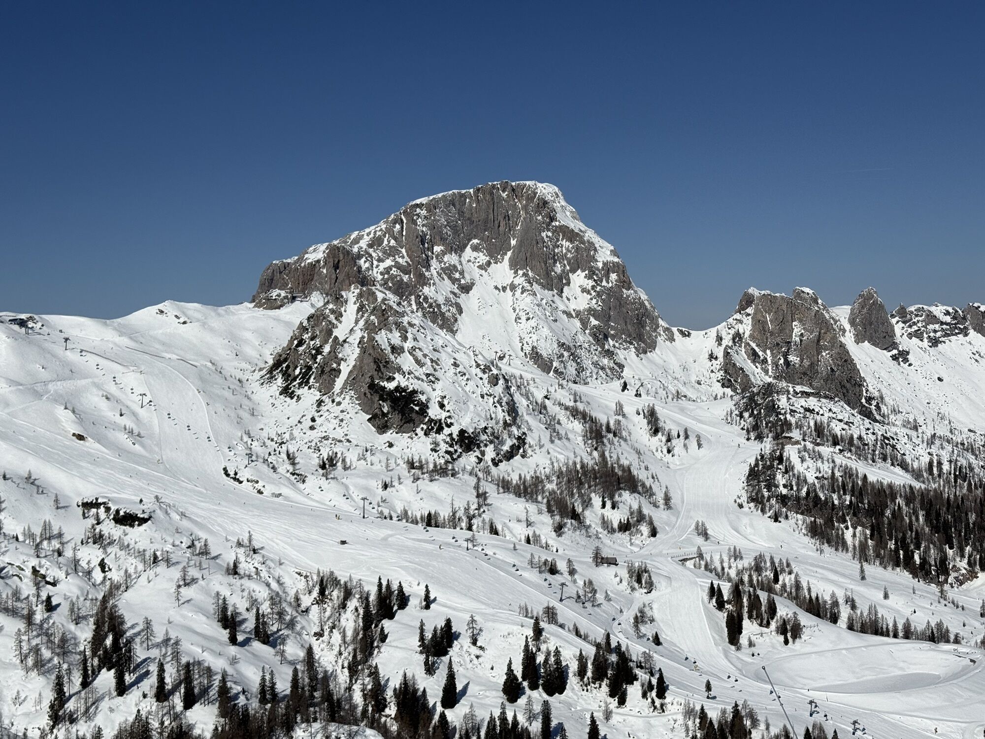
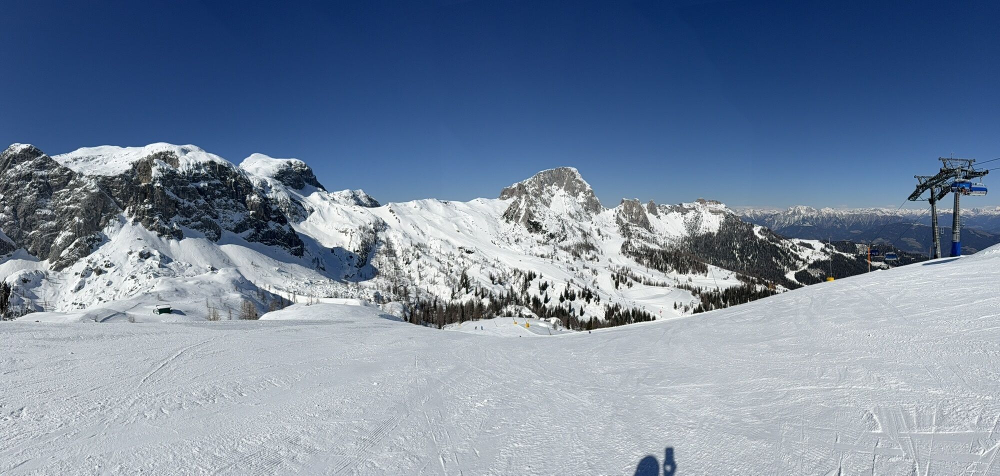
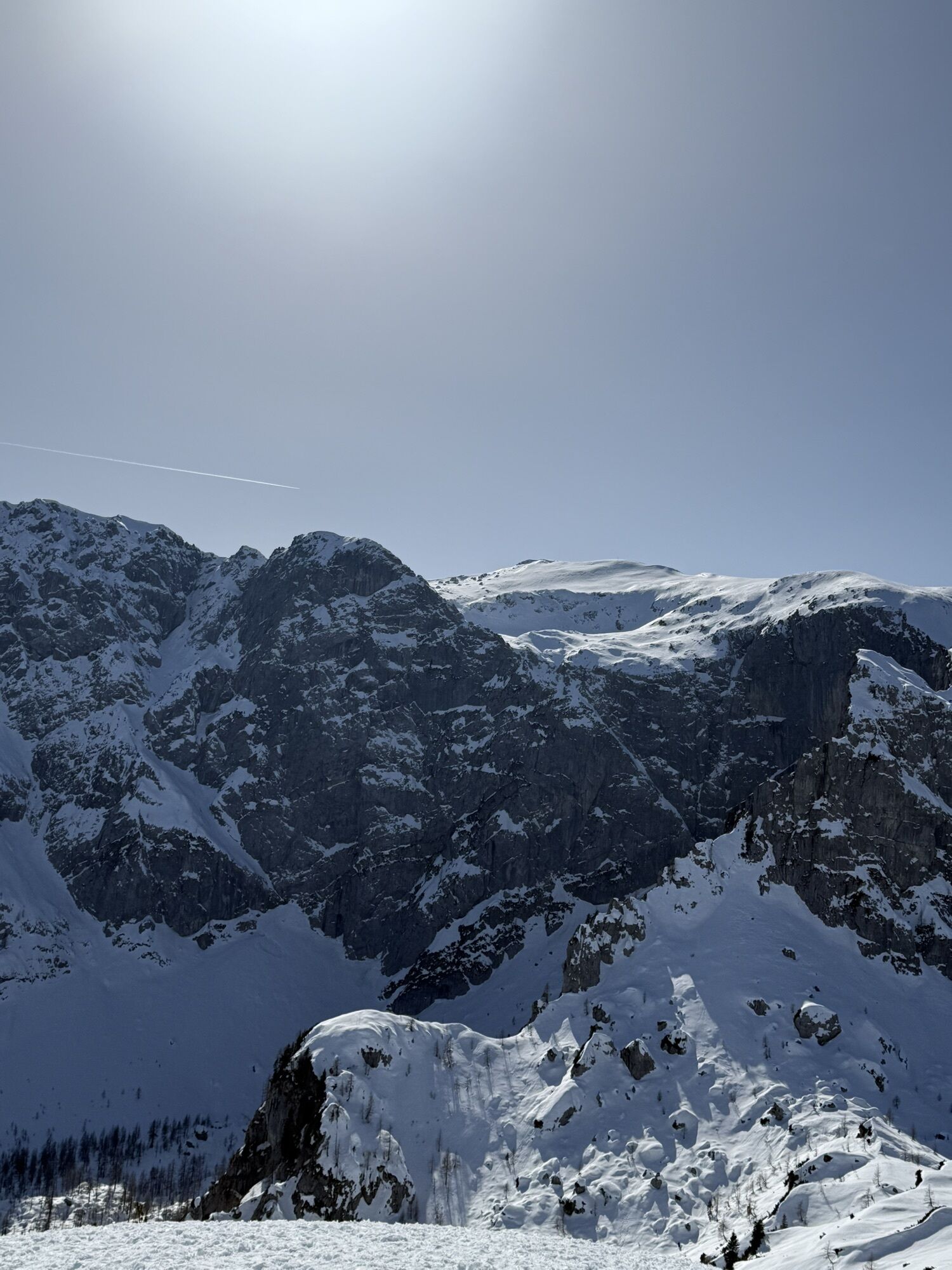
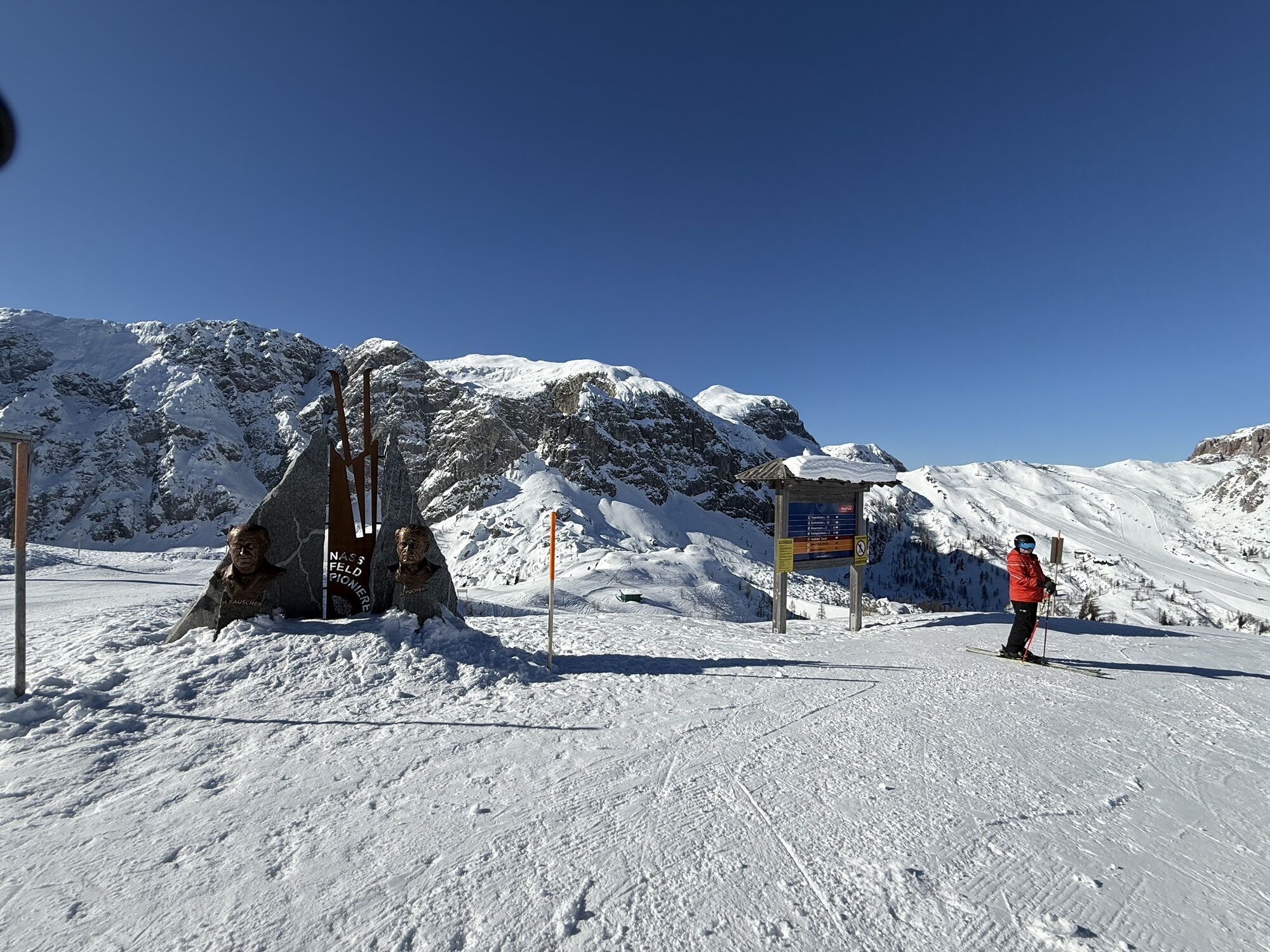
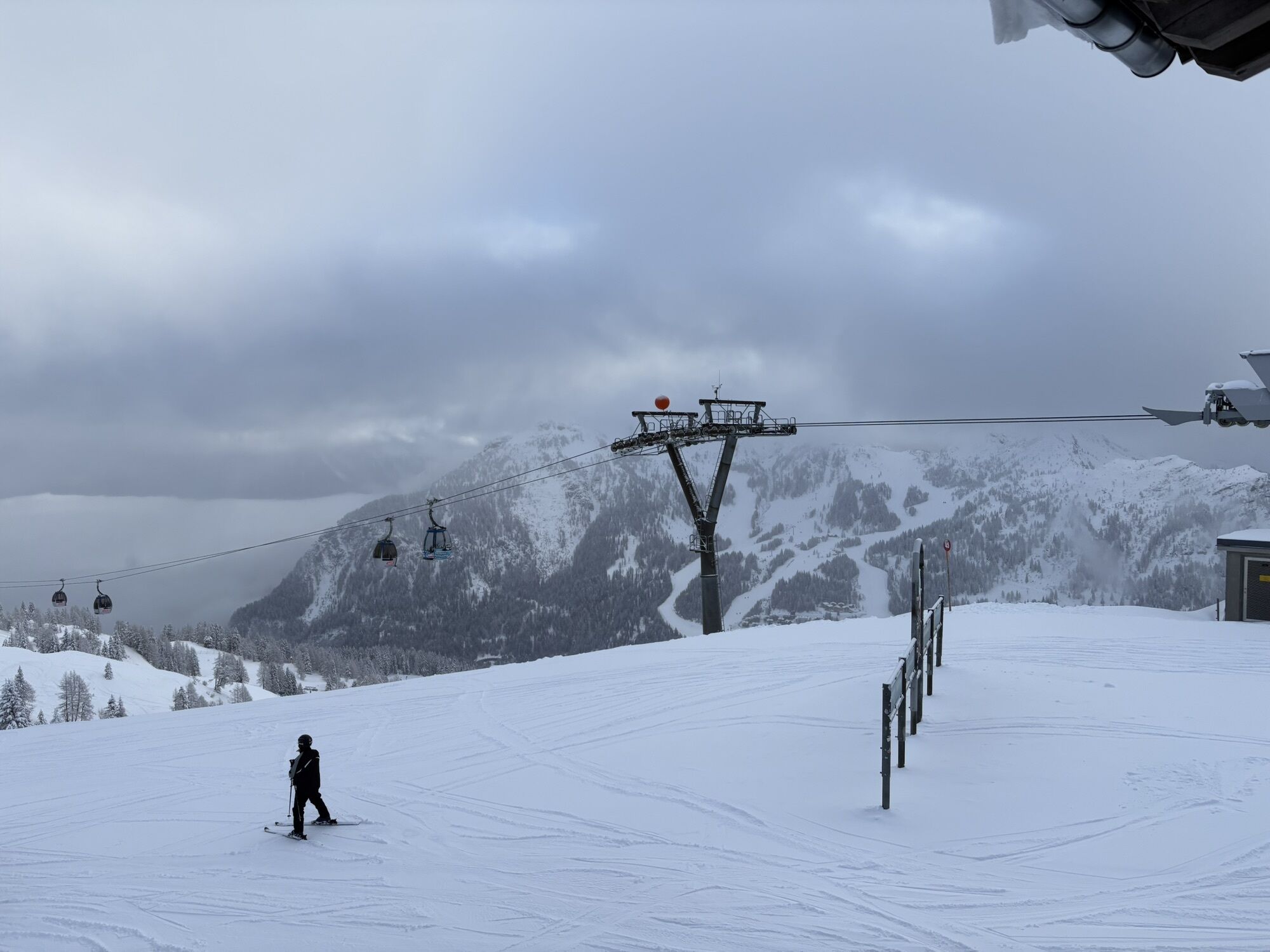
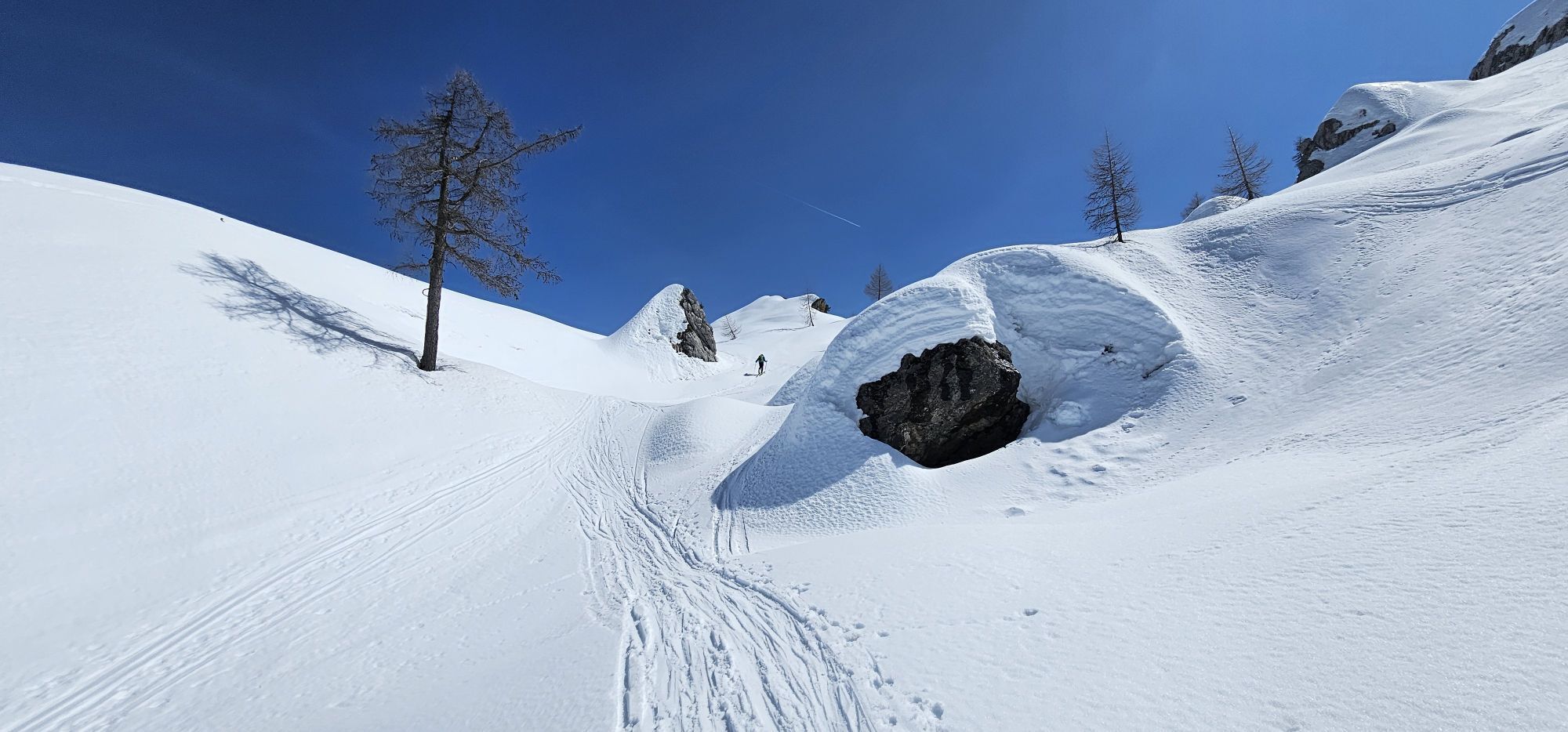
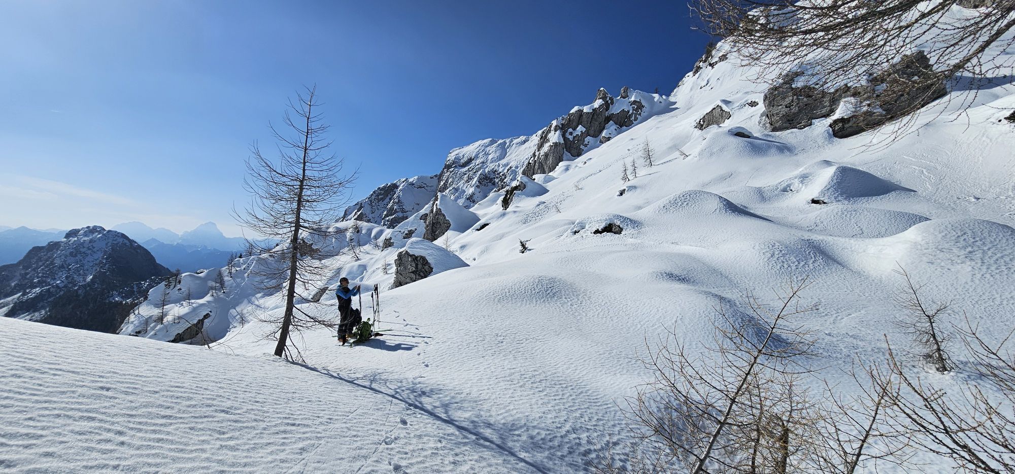
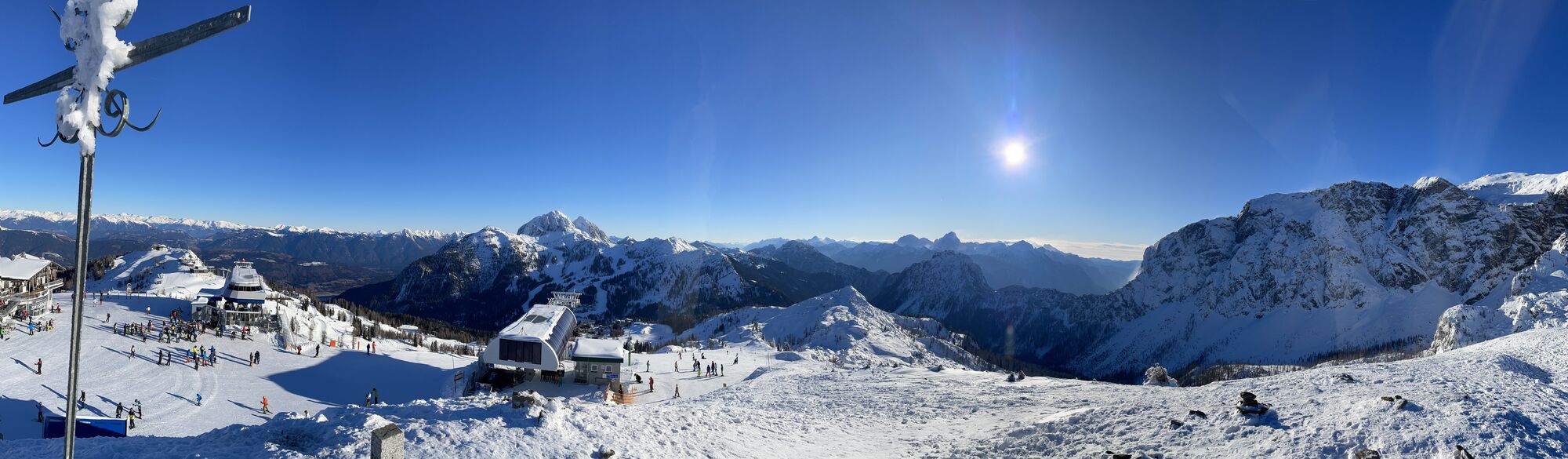
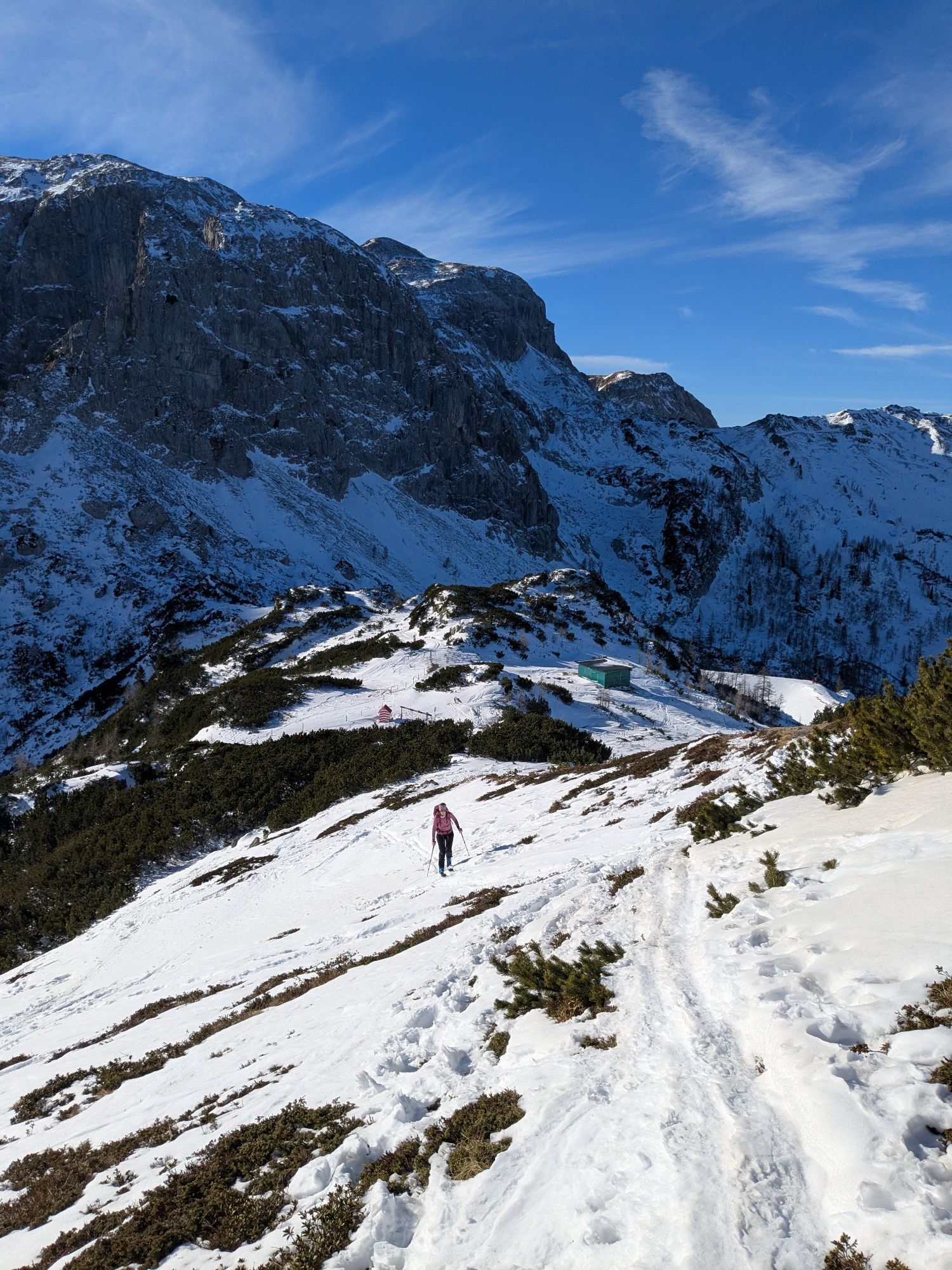
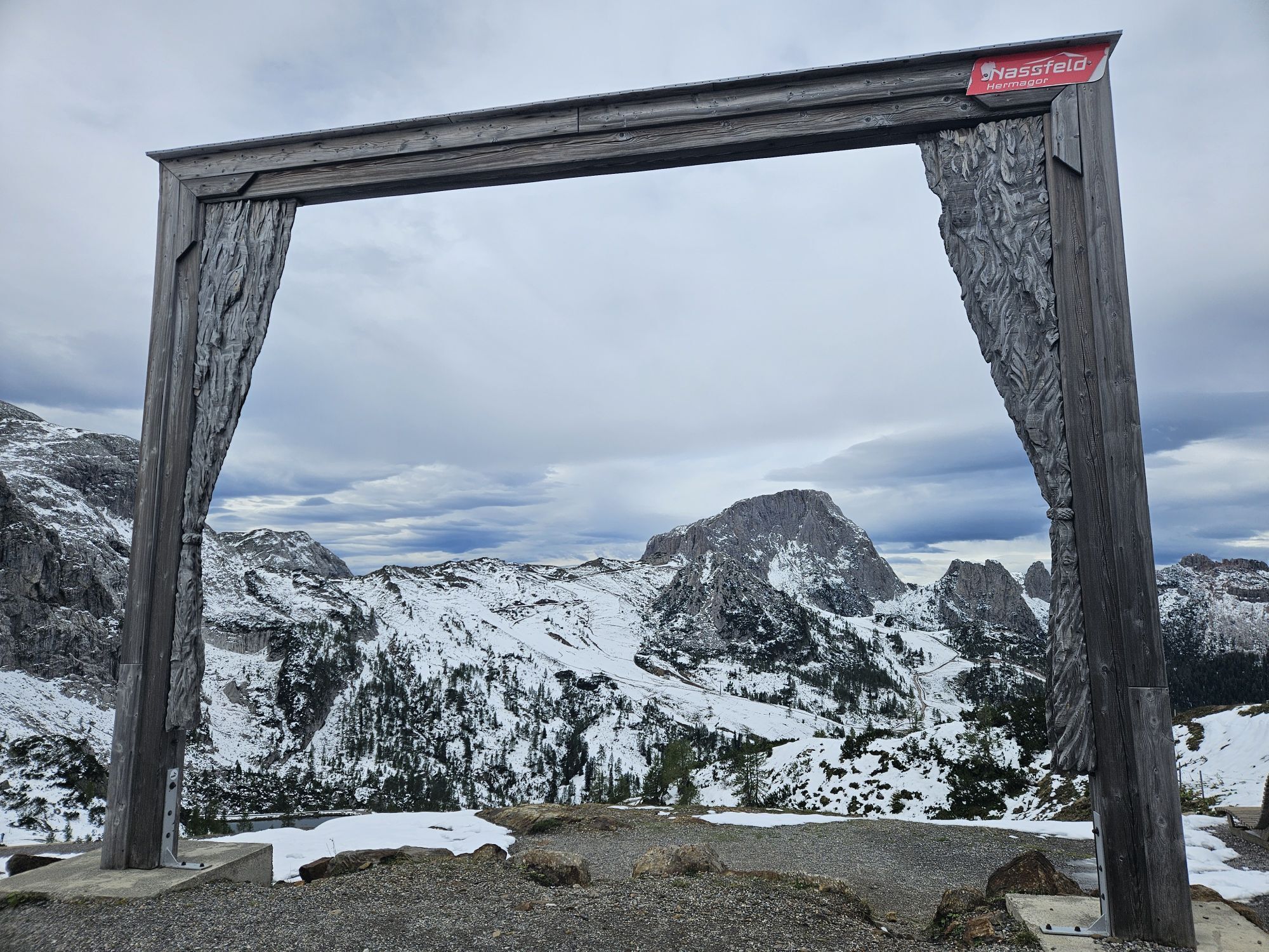
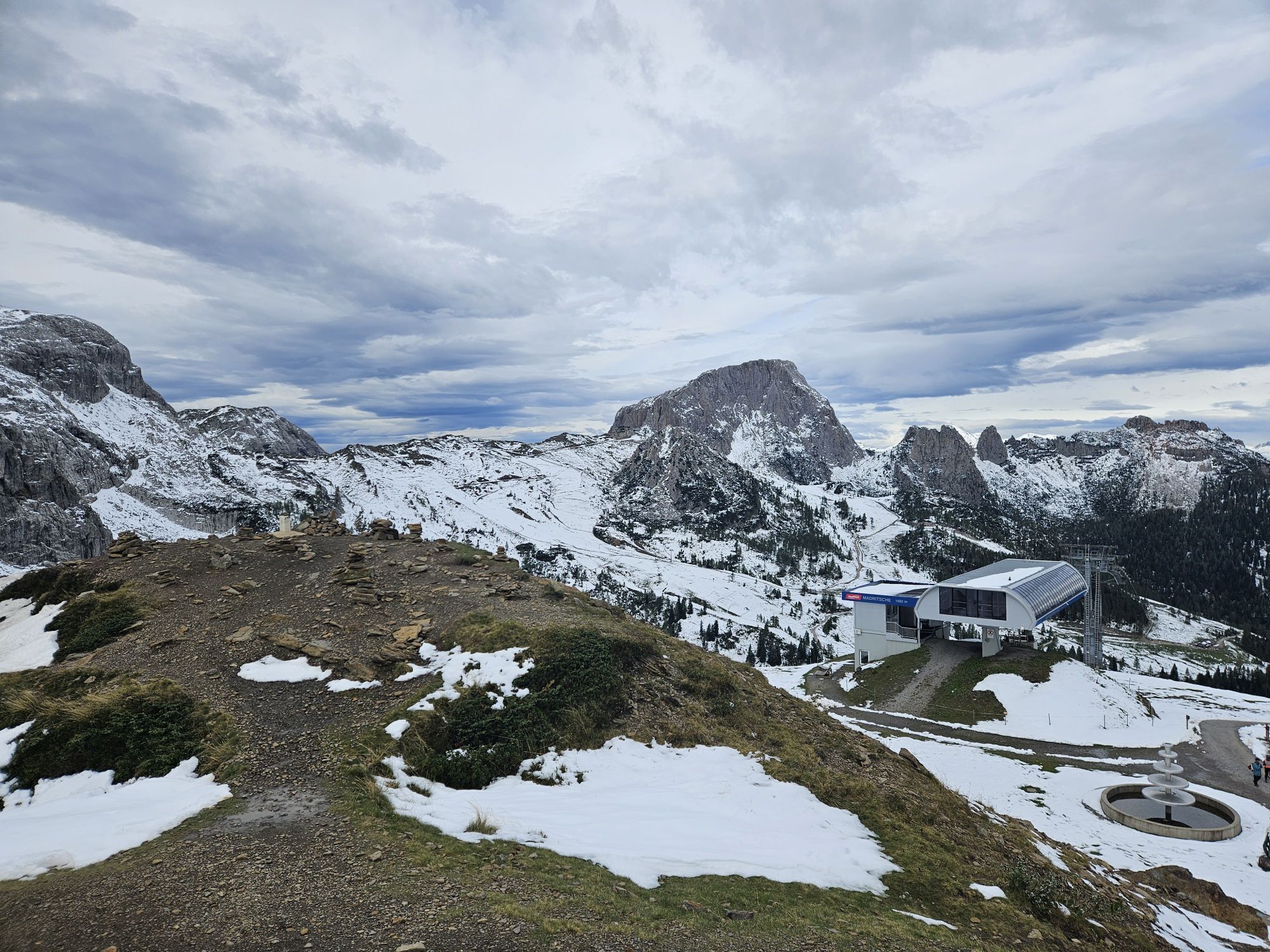
Mostly directly on the ridge with a breathtaking view around Nassfeld and beyond, you cross the Torre Winkel to the Torre Clampil on this via ferrata route.


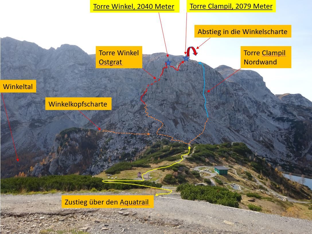

Approach:
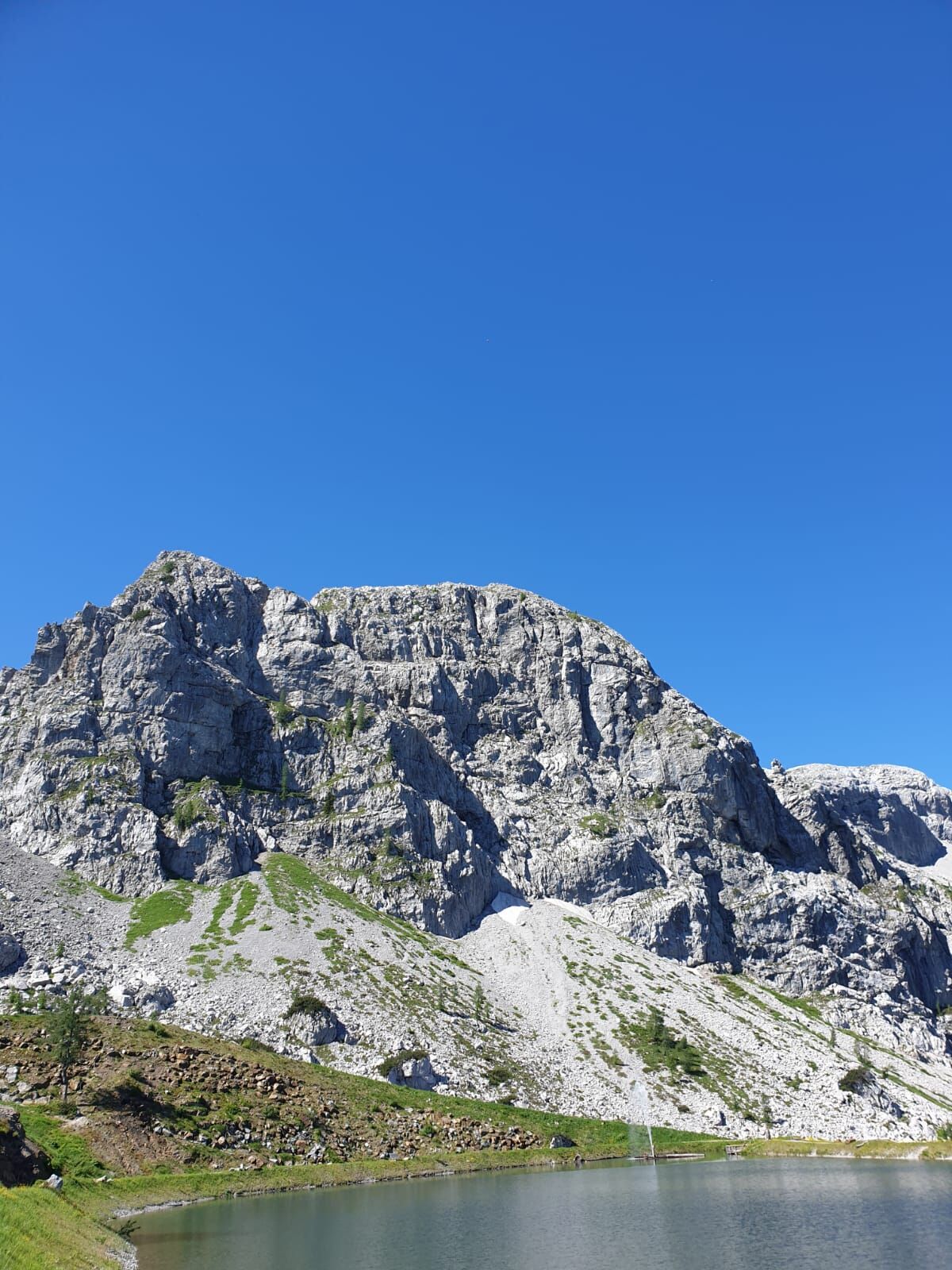
From the Madritsche mountain station, you follow the wide hiking trail south to the lake. A signpost shows you the path to the entry of the east ridge via ferrata over a scree field.
The via ferrata starts easy with difficulty grades A to B – after about 70 m comes the C section.
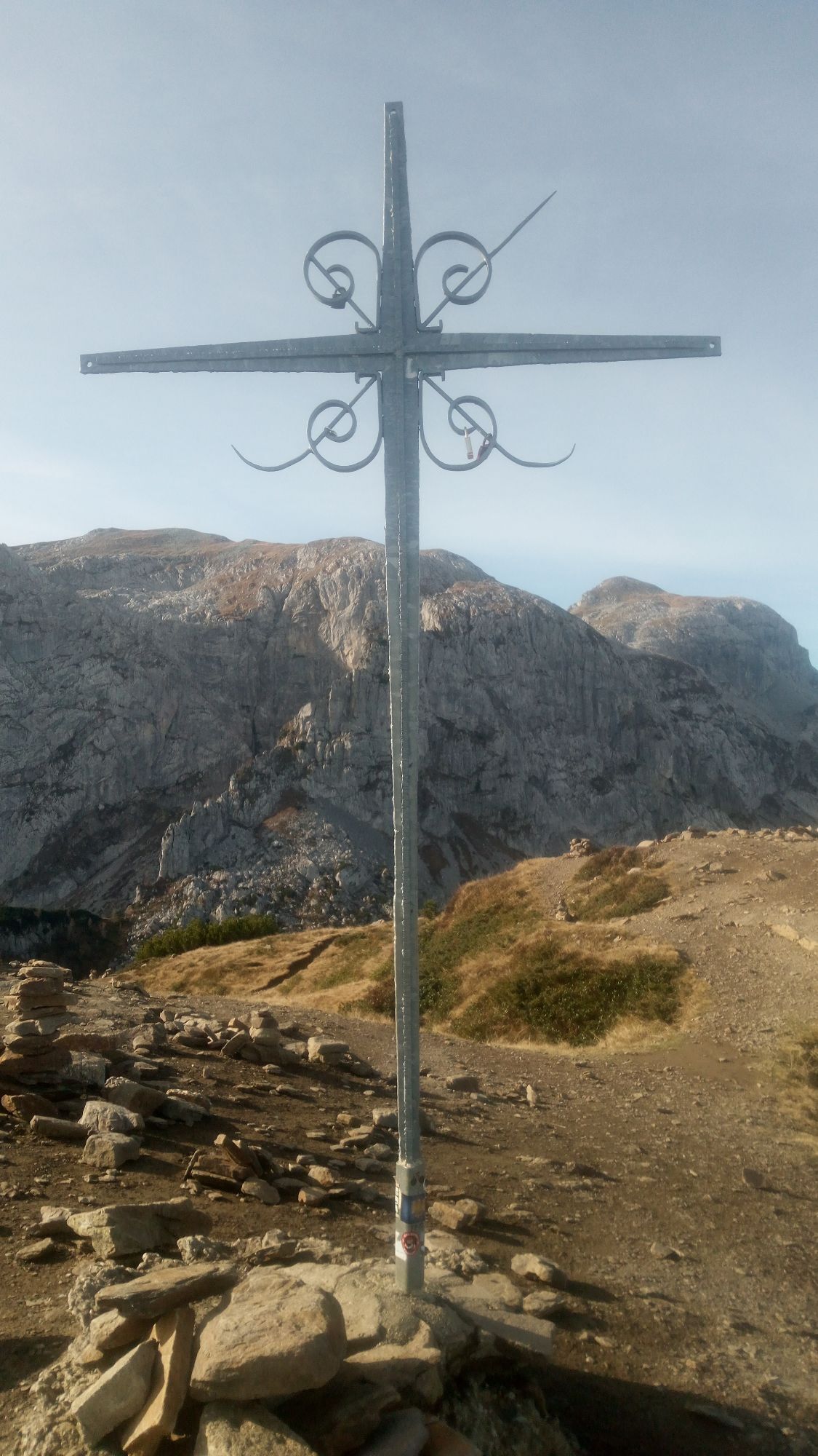
The route continues on the partly grassy east ridge (mostly A to B) to the summit of the Winkelturm. From the summit, it continues over a secured saddle to the cross of the Clampil.
Descent:
On the descent, you first head towards Rosskofel – shortly before the Contin saddle, the route is secured again with a steel cable.
From there, you follow the markings downhill on easy terrain. Soon you reach an easy, short via ferrata (Via Ferrata Enrico Contin max. B) and over it in about 20 minutes to the valley floor of the Winkeltal.
Tak
FAIR PLAY & RESPECT:
Awareness for nature – landowners – your health.... and safety on the mountain have the highest priority for your route/your mountain sports experience and the related route planning!
Therefore, before every via ferrata experience, inform yourself about the rules of conduct – Mountain safety – as well as the current weather situation.
Waste disposal:
Waste is not always avoidable – but it has no place in nature and should be disposed of properly (preferably in the valley or at home).
Emergency numbers:
European emergency number: 112 (accessible from any available network)
Austrian mountain rescue: 140
Public Transport:
The most sustainable option for arrival is by train (coming from Villach) to Hermagor. From Hermagor you then reach Tröpolach by station shuttle as well as by bus / ski bus.
Alternatively, there is also the possibility to arrive by bus from the direction of Kötschach-Mauthen or Villach to Hermagor or Tröpolach.
From Tröpolach, you then take the Millennium Express up to the mountain station – which is located in close proximity to the mountain station of the Madritschenbahn.
Details at - Nassfeld mobility info and Kärntner Linien route planner
Arrival by car:
Via the B111 (Gailtal road) to Tröpolach – from there via the B90 (Nassfeldpass road) towards the state border. Turn right onto the road to the valley station of the Madritschenbahn 300 m before the border from the B90.
Or alternatively in Tröpolach, turn right from the B90 onto the parking lot at the valley station of the Millennium Express.
Free parking is available at the valley station of the Madritschenbahn – as well as at the valley station of the Millennium Express.
B/C
Are you looking for via ferrata tips in the region as well as a state-certified mountain guide for a guided via ferrata tour?
You can find this and many other infos at - Route tips and provider info
At Nassfeld you will find numerous year-round open dining options – guesthouses, huts and eateries – details at Service A-Z.
Being free of dizziness, endurance, and the proper handling of the equipment are naturally basic prerequisites for a successful completion of this beginner route.
Note: The difficulty rating refers "only" to the via ferrata, not to the approach and descent.
Caution: The east ridge via ferrata is also often used as a descent.


Kamery internetowe z trasy


Popularne wycieczki w okolicy
-
4,8
Tarvisio - Venzone (C101)
średniKolarstwo długodystansowe 64,7 km -
4,5
RW_N9 Weißenbachklamm
średniWędrówka 7,49 km -
5,0
Nassfeld Grenze - Gartnerkofel
światłoWędrówka 8,41 km -
4,9
Weißenbachklamm
ciężkiWędrówka 5,80 km -
4,3
Malurch Nassfeld
średniWędrówka 9,60 km -
4,6
ST_N7 Gartnerkofel (2,195 m)
Wycieczka narciarska 3,94 km -
4,7
Poludnig - der Fast-Zweitausender hihi
średniWędrówka 12,4 km -
4,6
KL_N2 Däumling
średniVia ferrata 1,78 km -
4,0
Hermagor: Gartnerkofel
Wędrówka 7,70 km -
4,6
RW_N34 Watschiger Alm - Gartnerkofel (SBW_3 - constellation hike)
średniTrasa tematyczna 6,20 km

Wędrówki i tropienie


Nie przegap ofert i inspiracji na następne wakacje
Twój adres e-mail została dodana do listy mailingowej.





