







KL_N2 Däumling

Poziom trudności: B/C

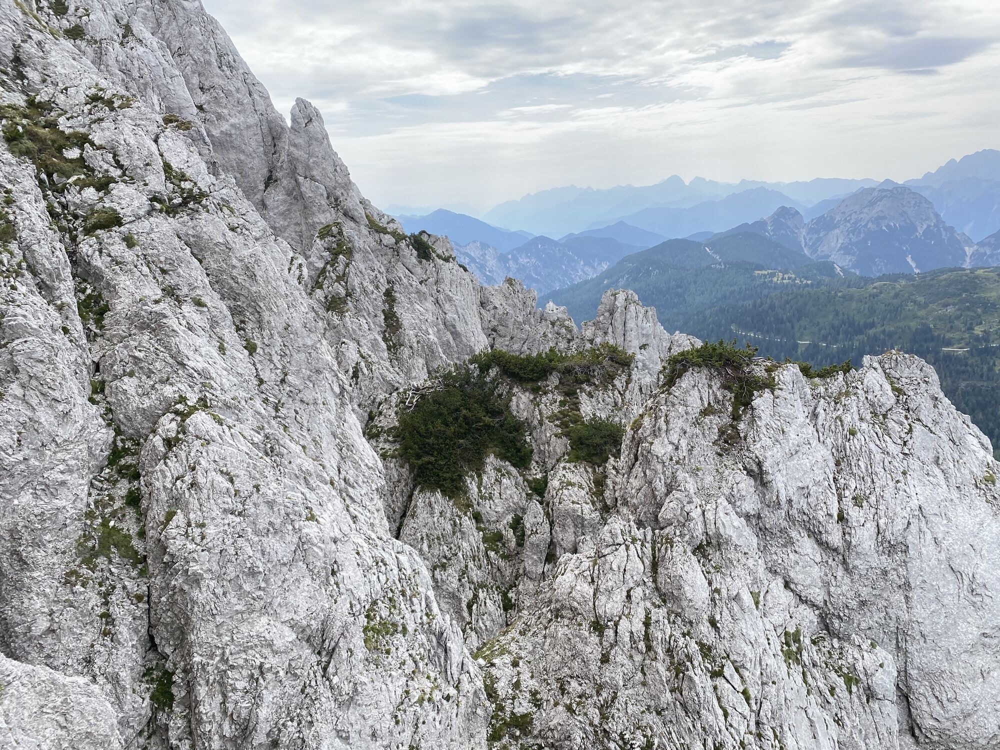
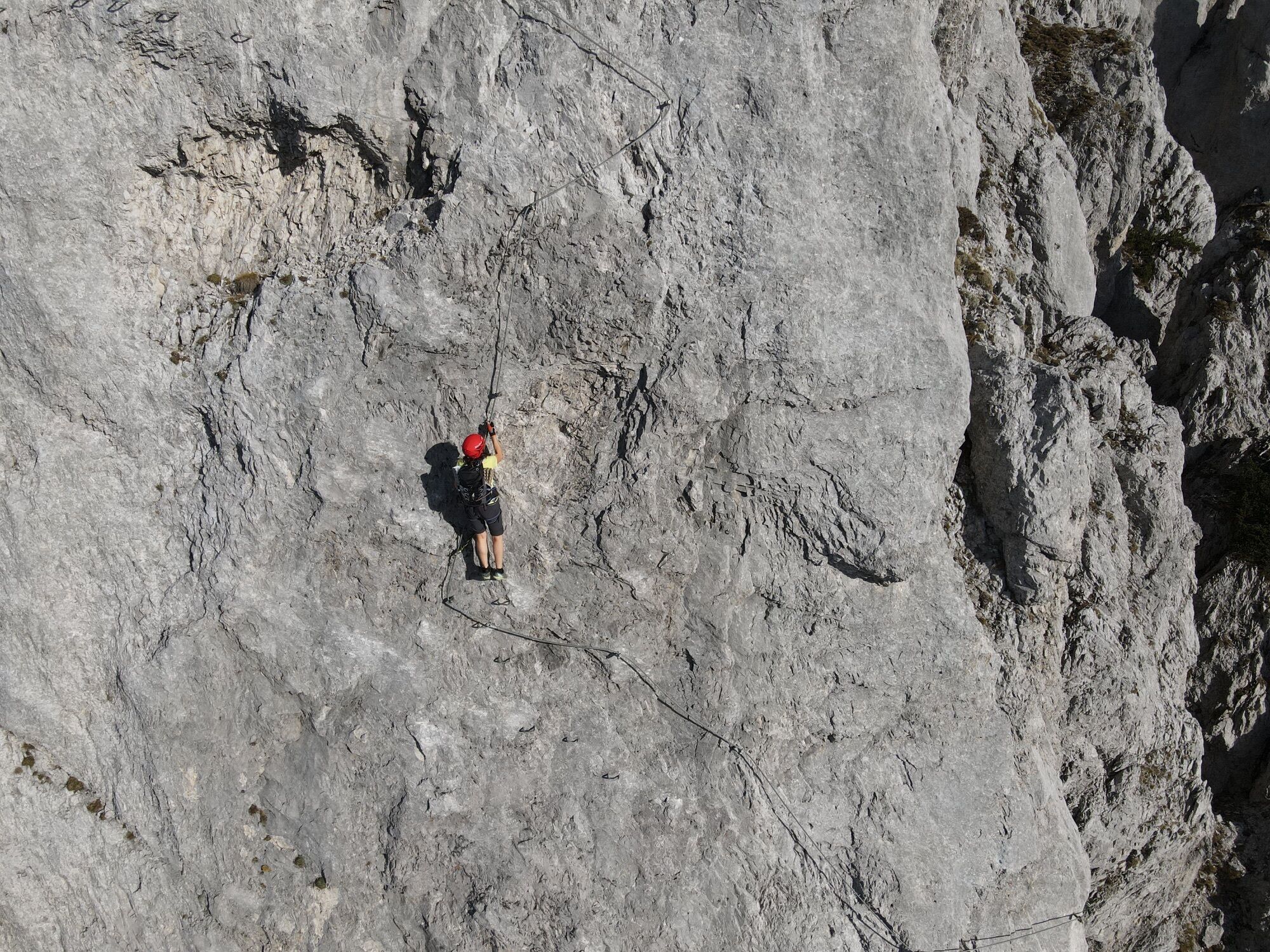
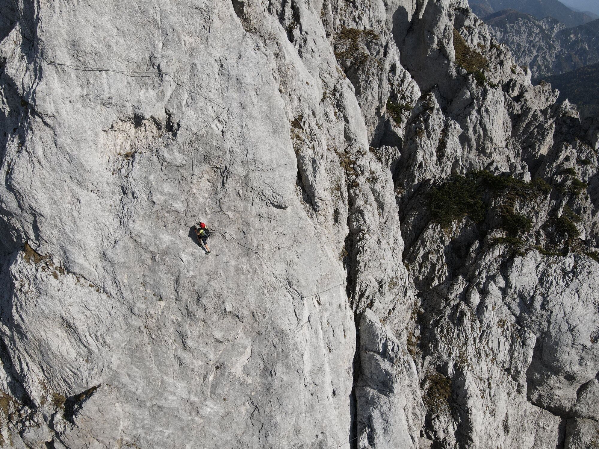
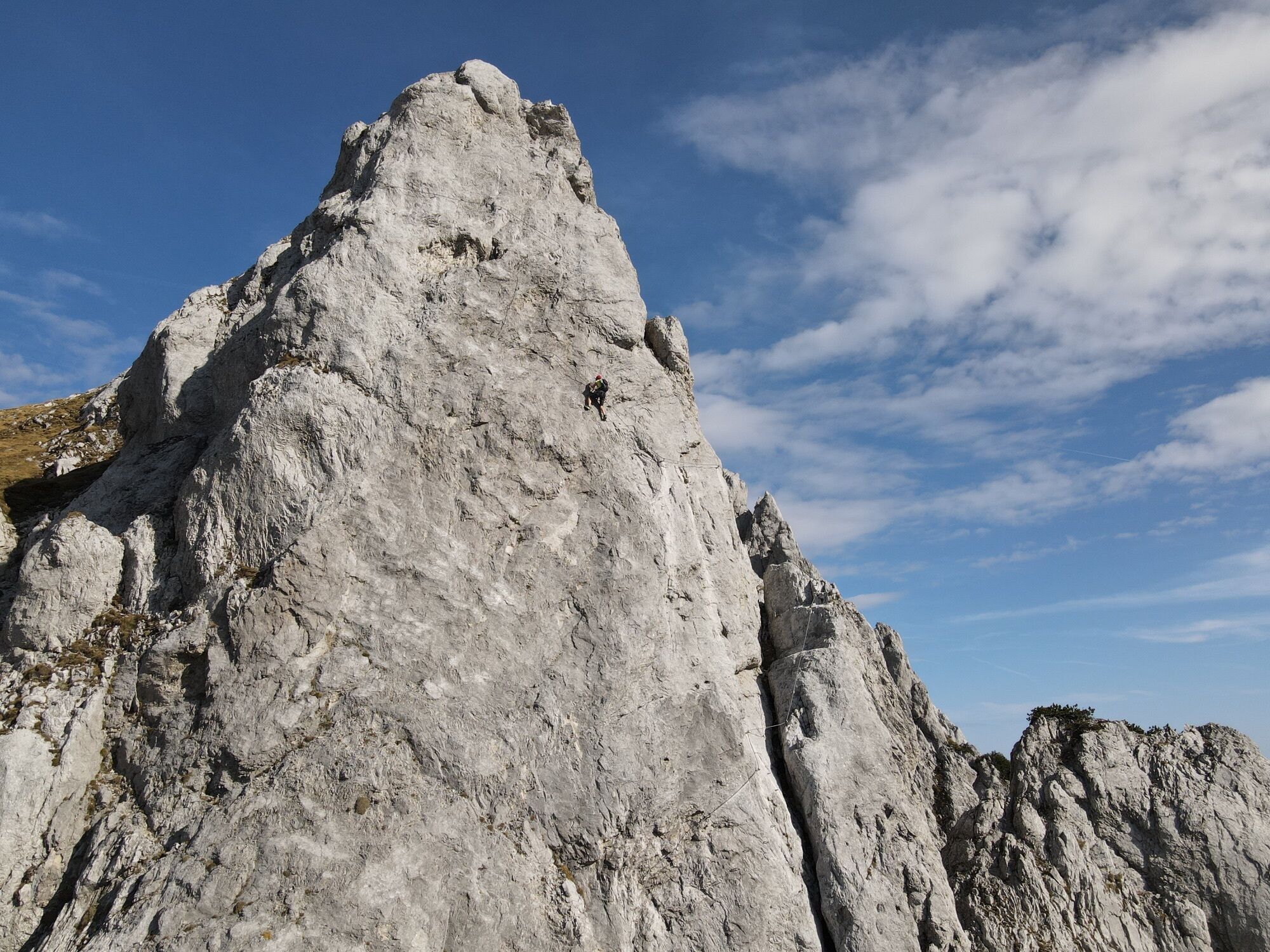
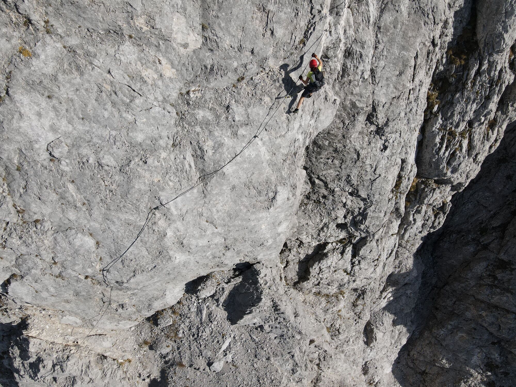
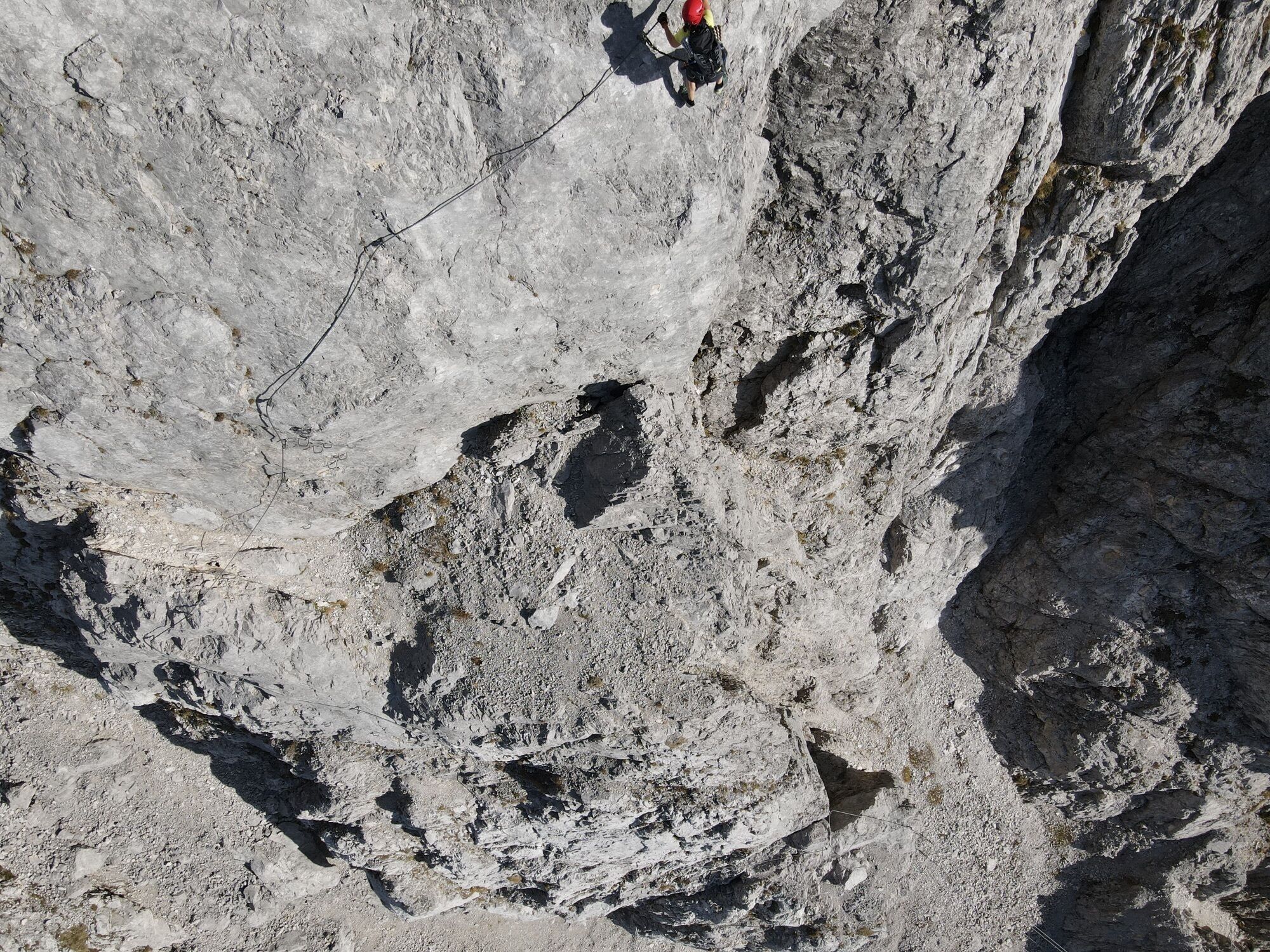
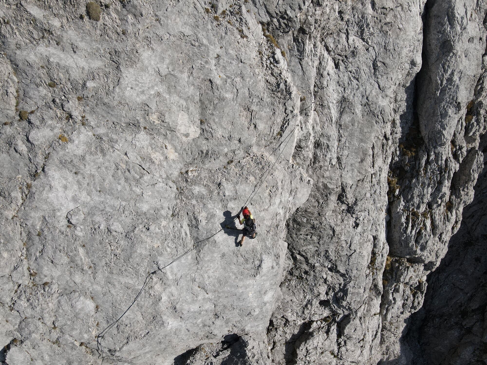
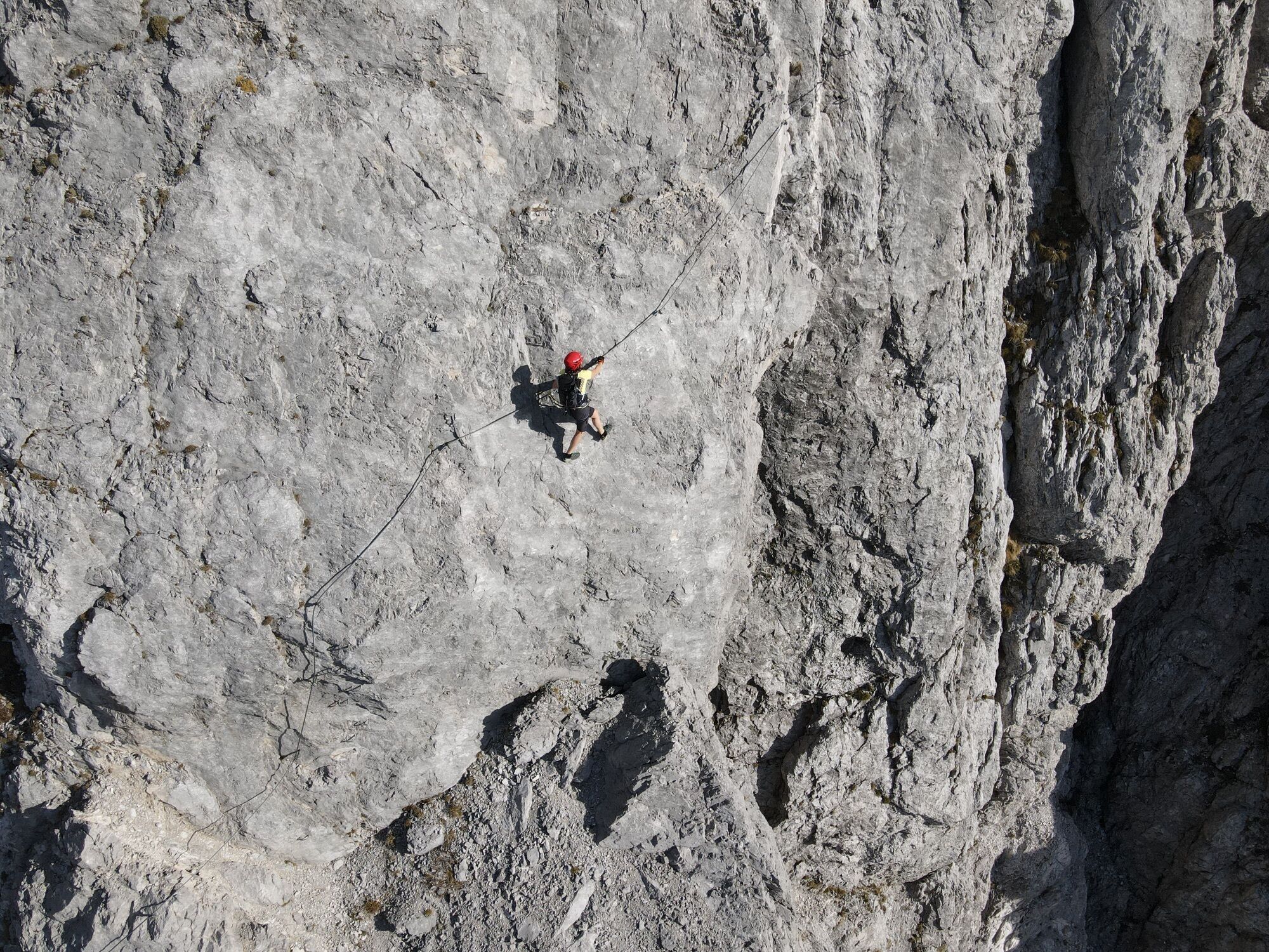
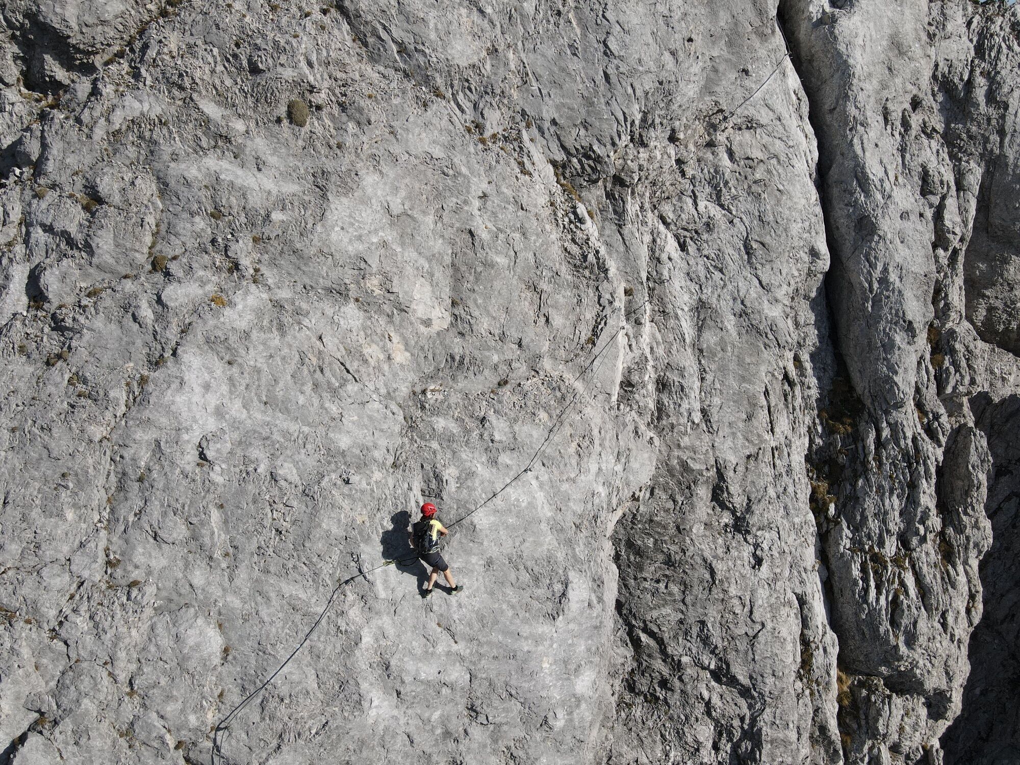
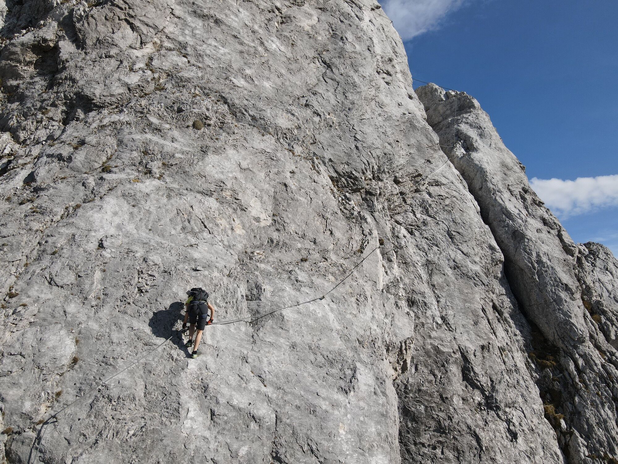
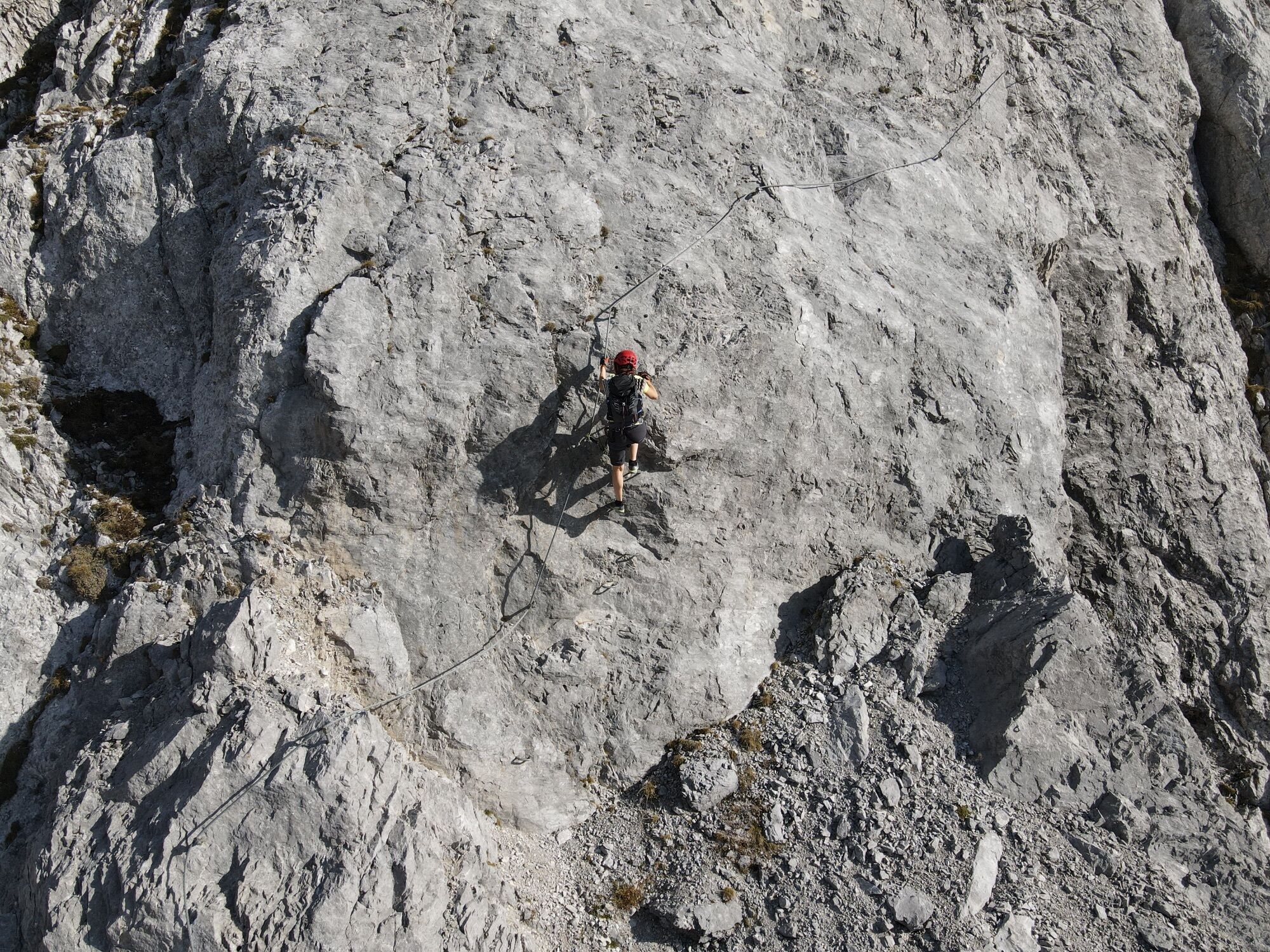
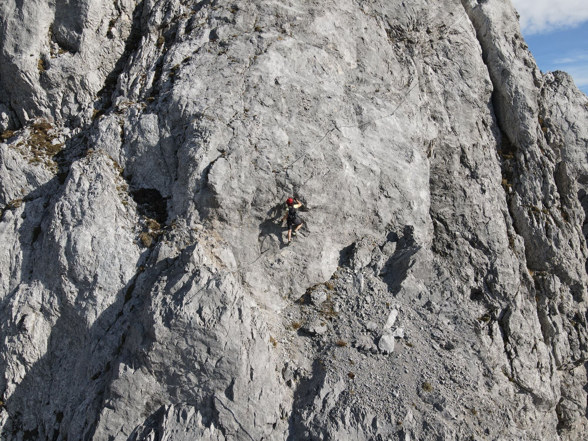
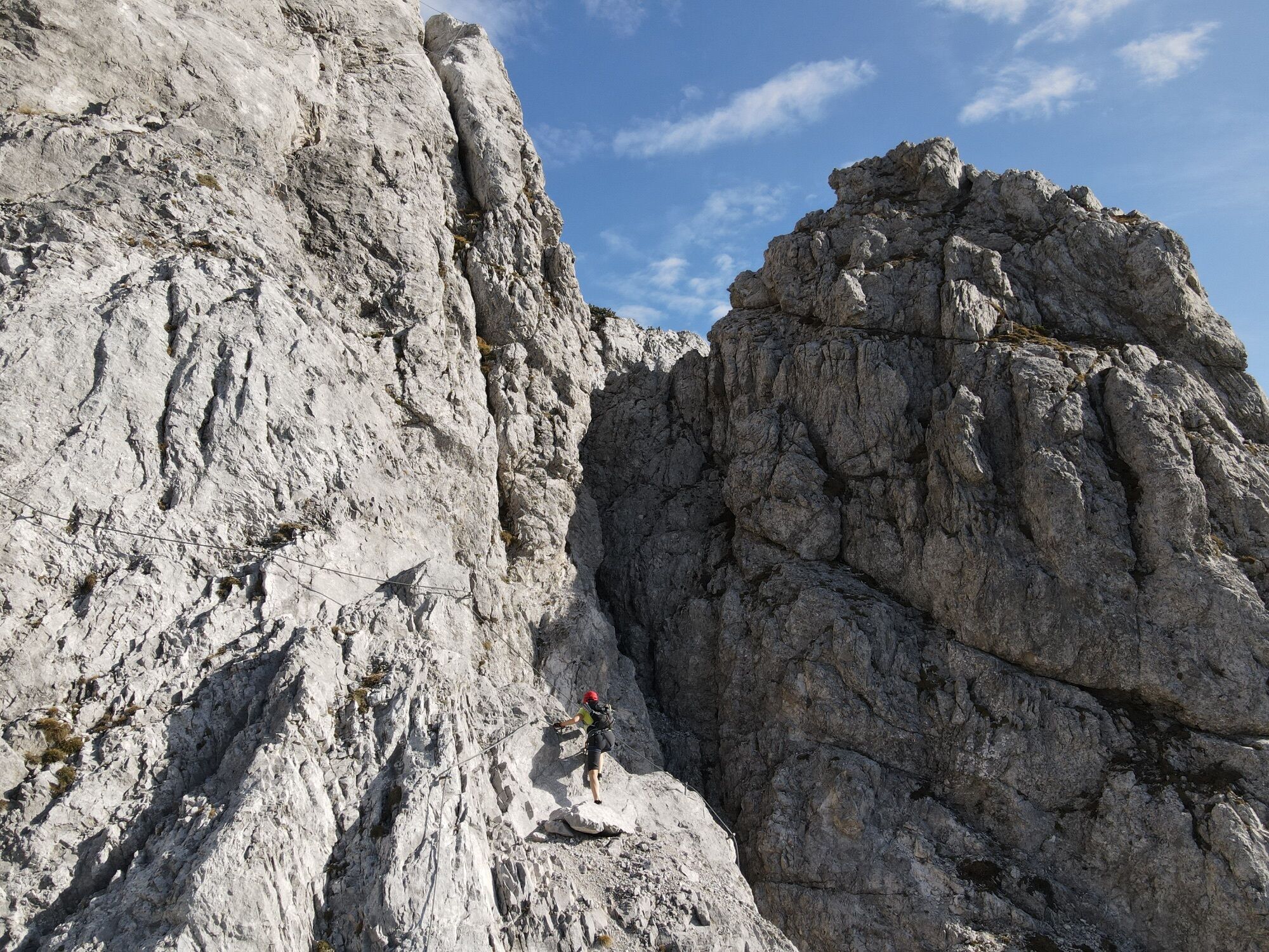
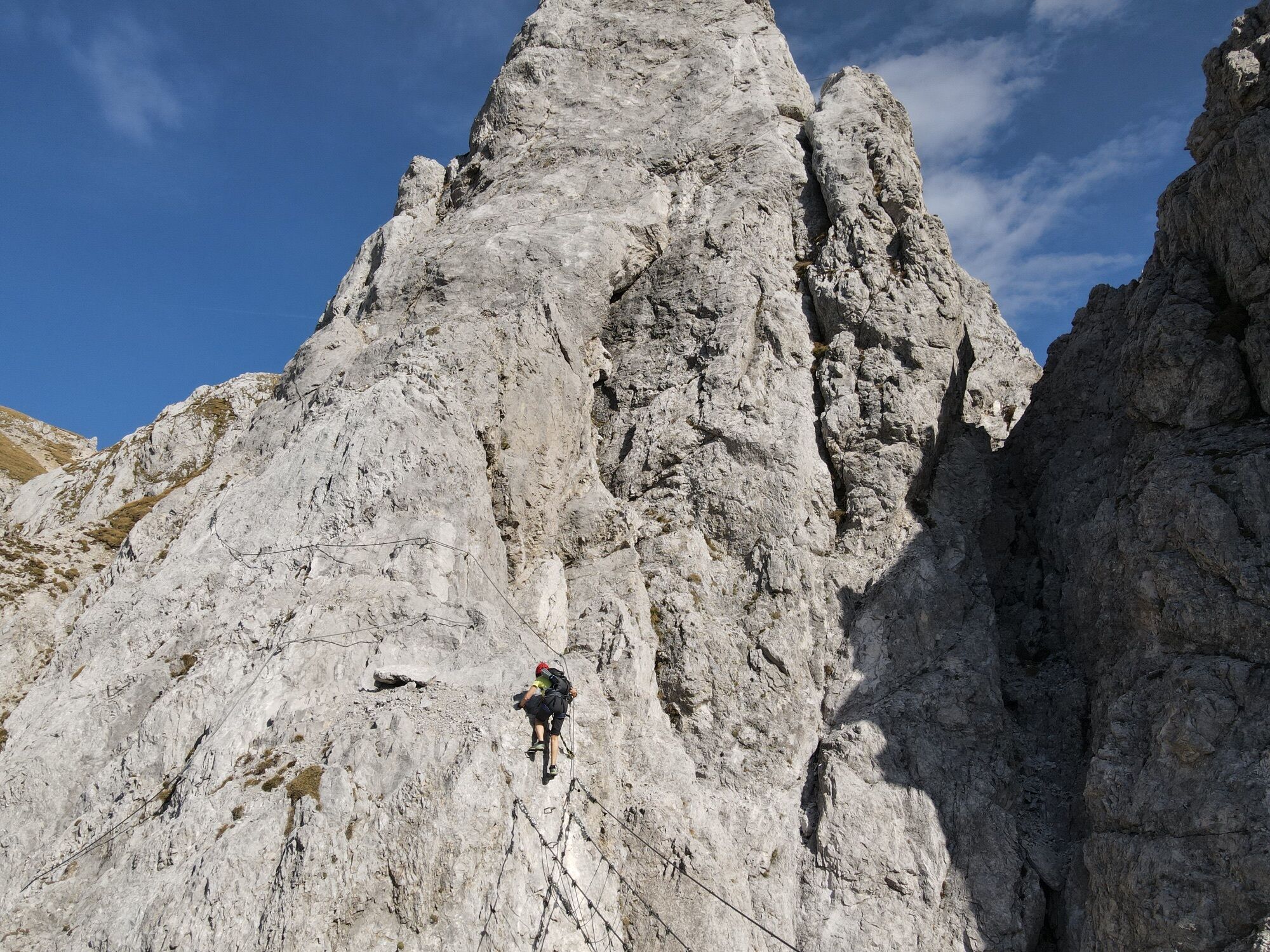
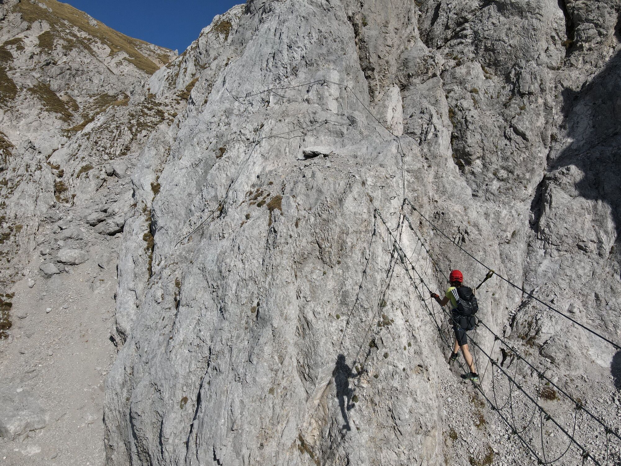
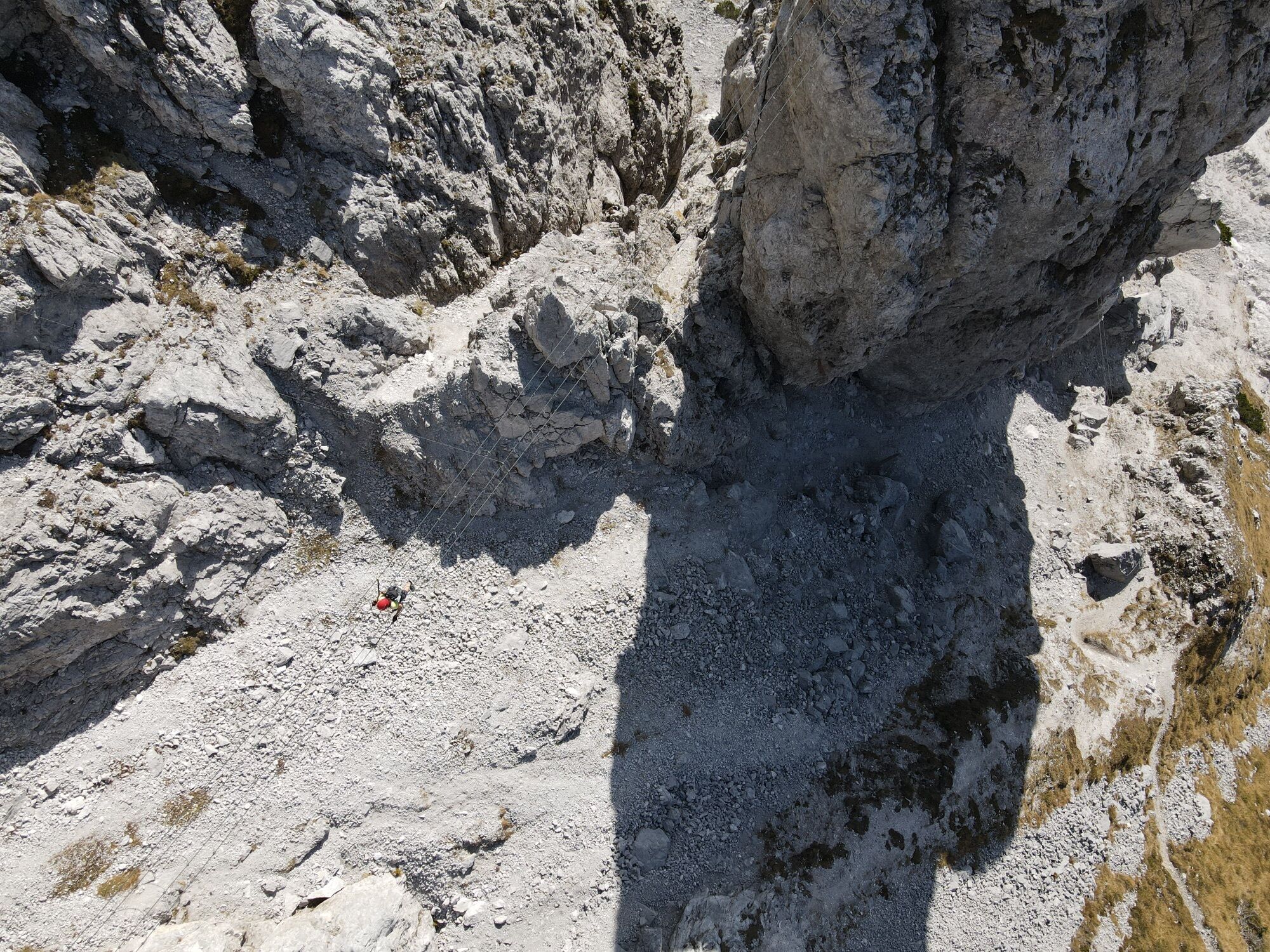
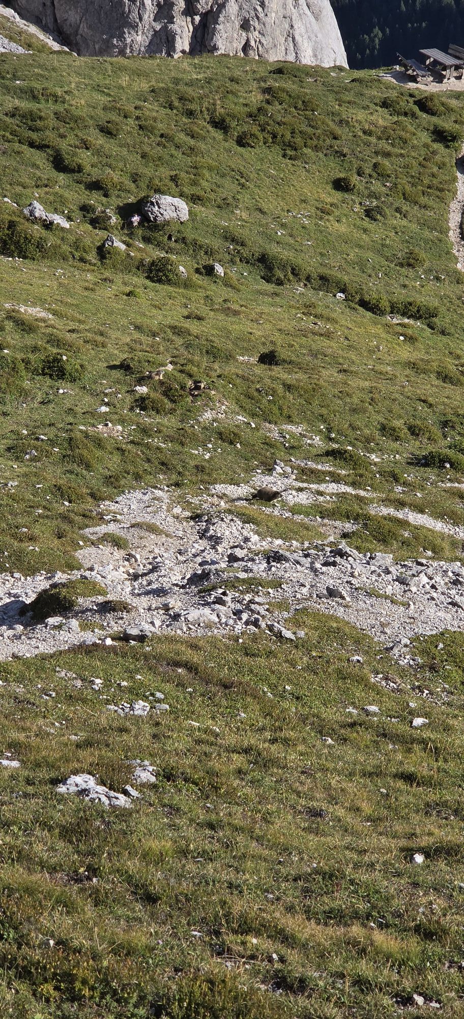
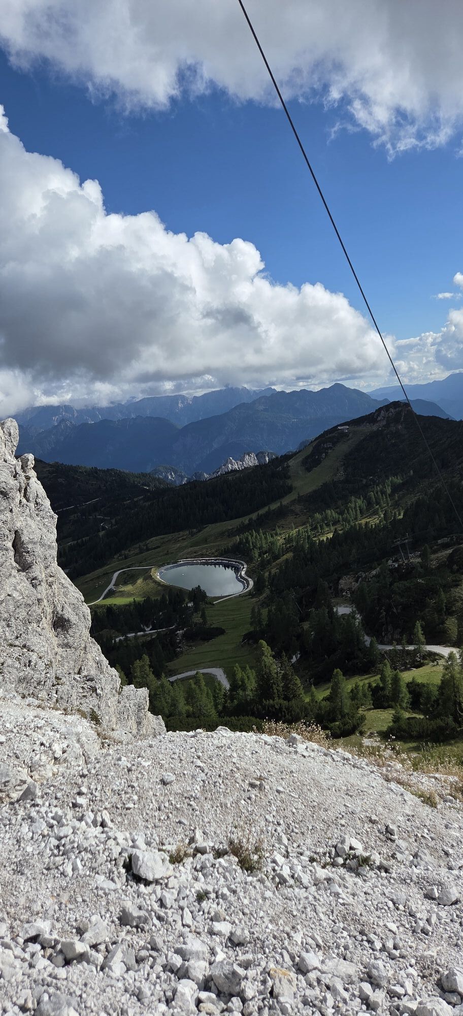
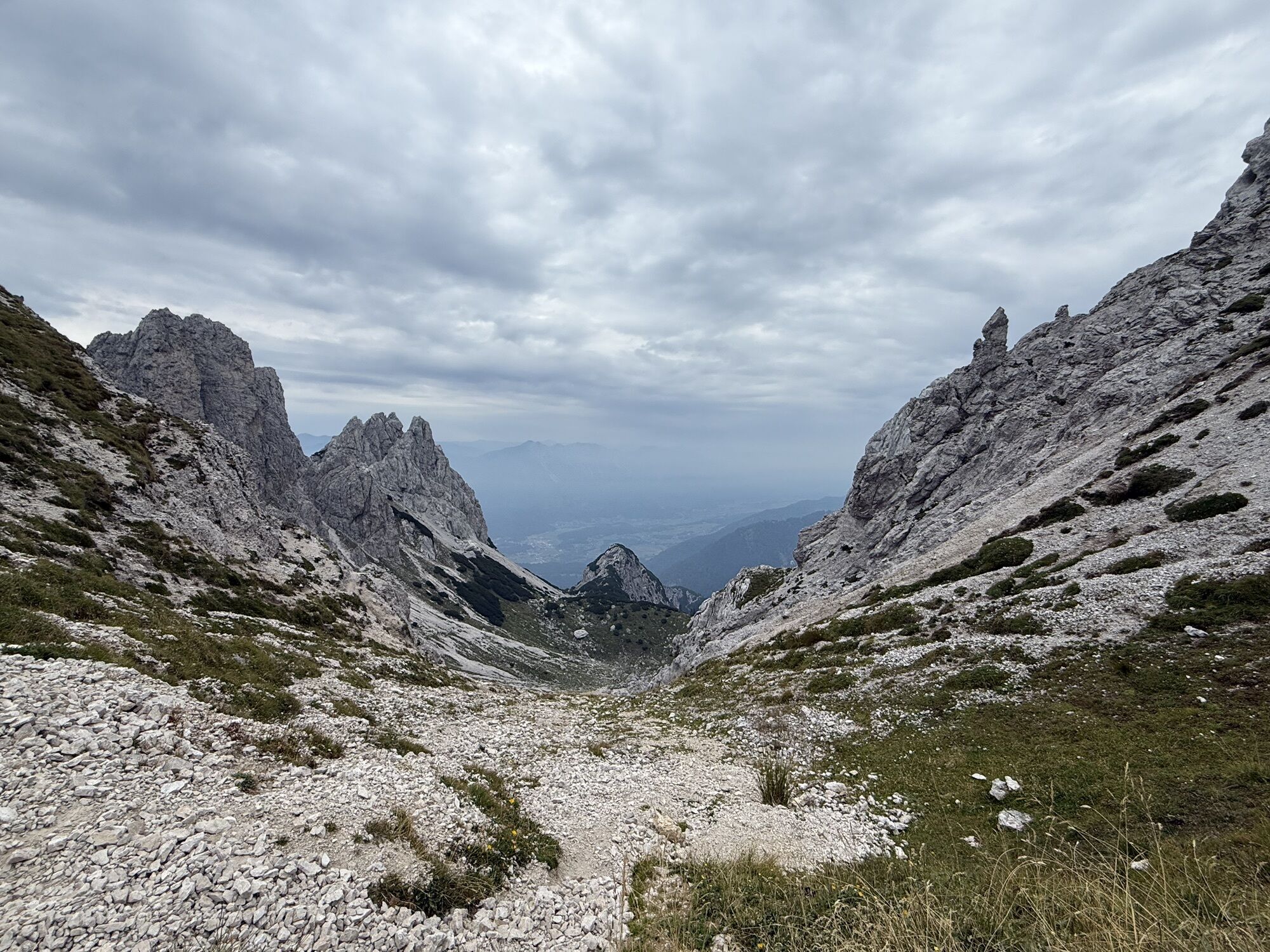
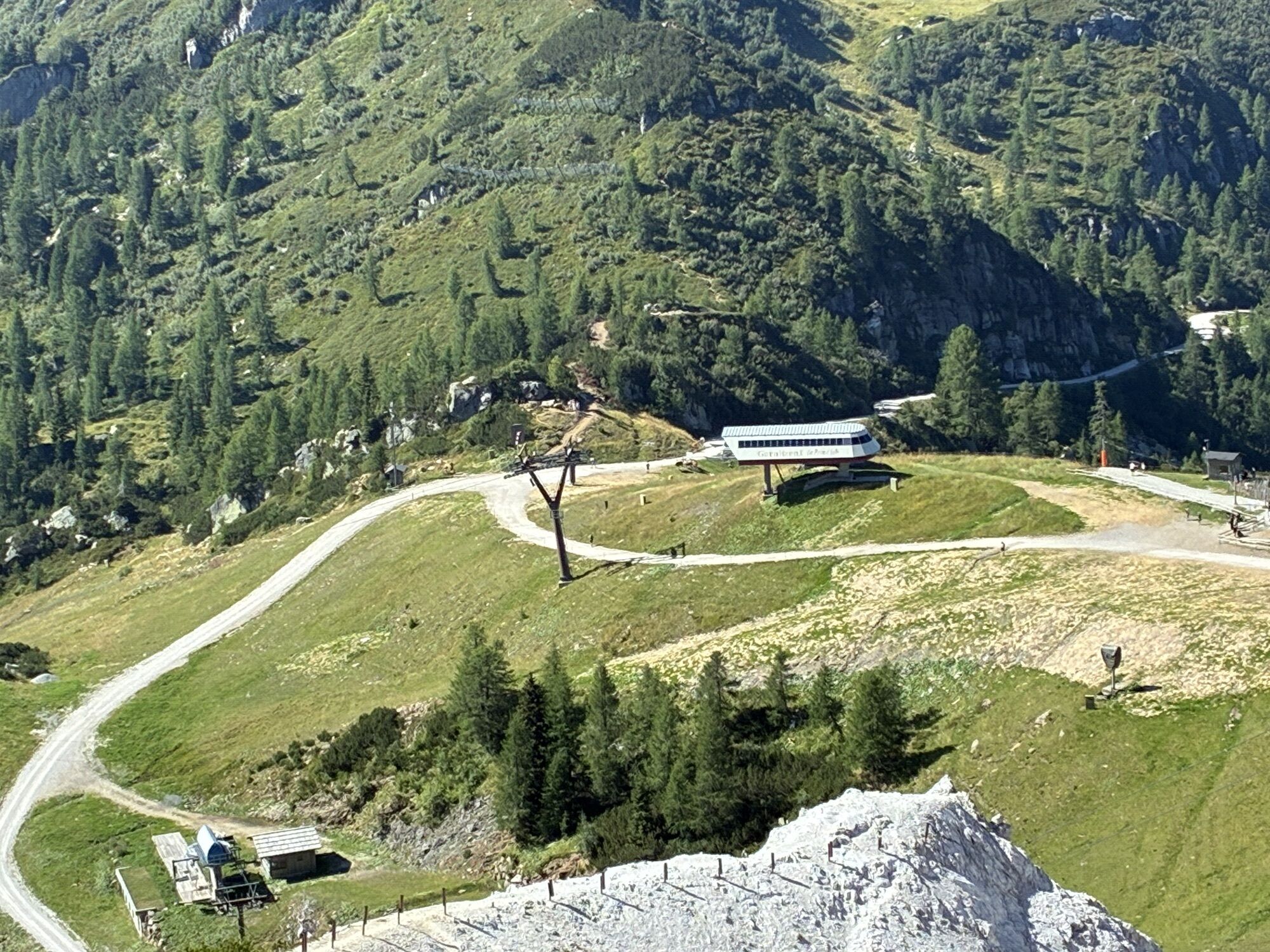
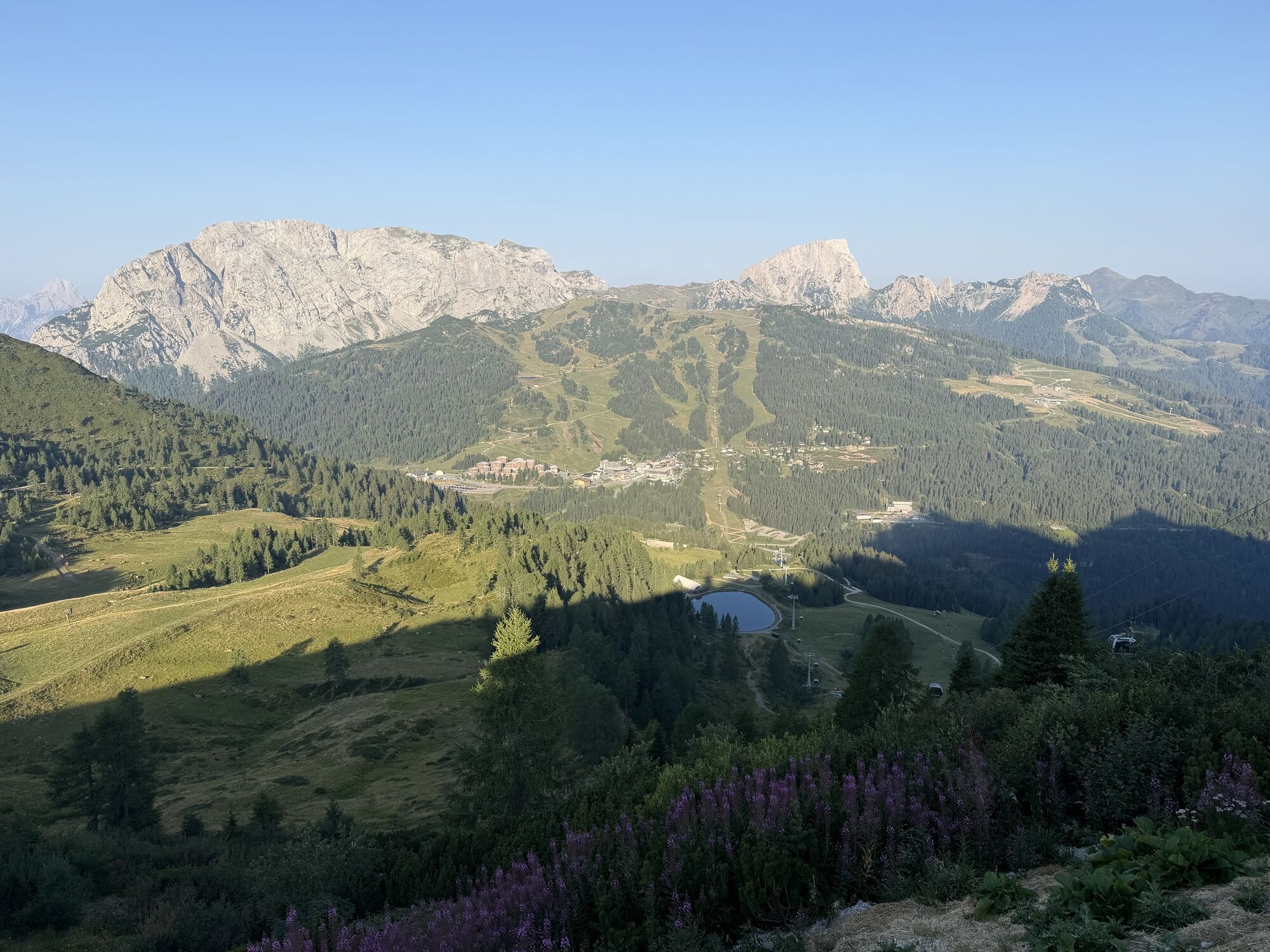
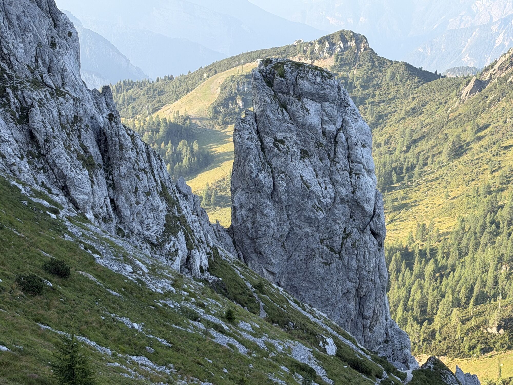
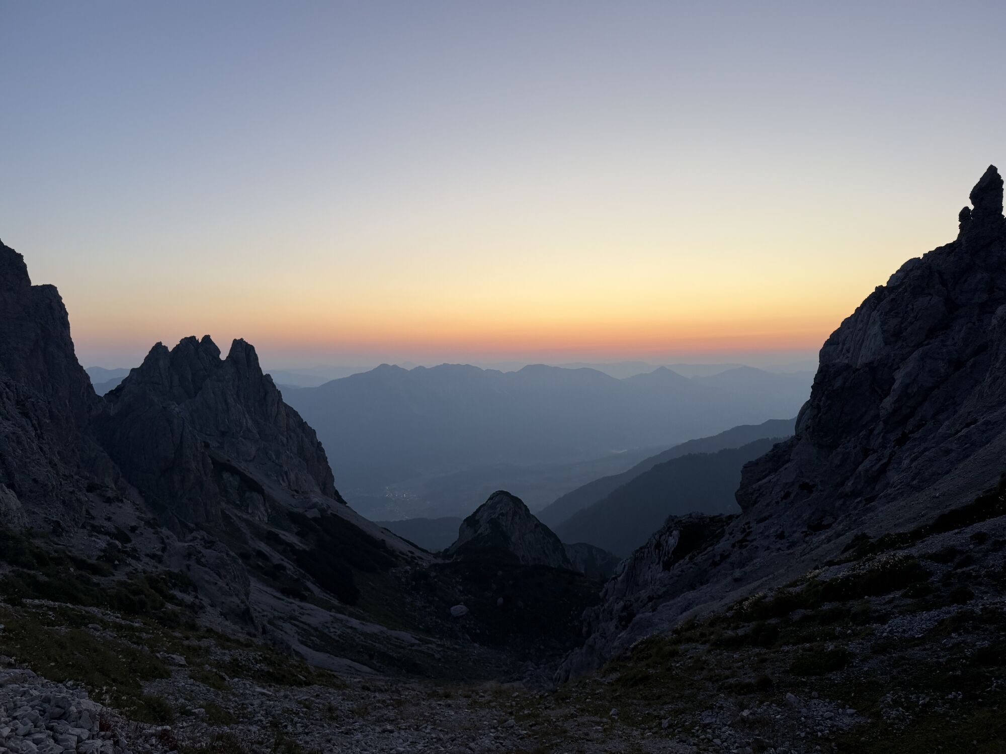
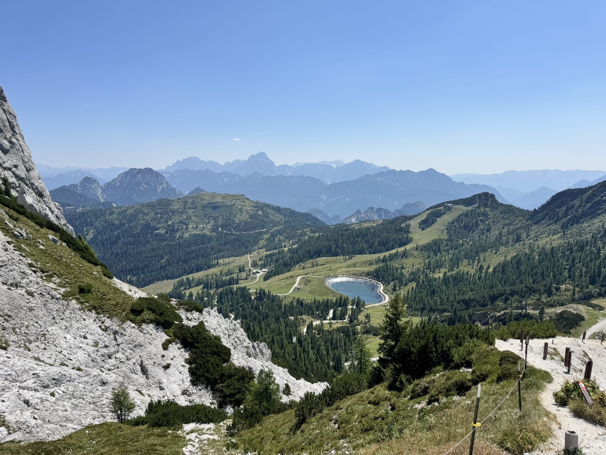
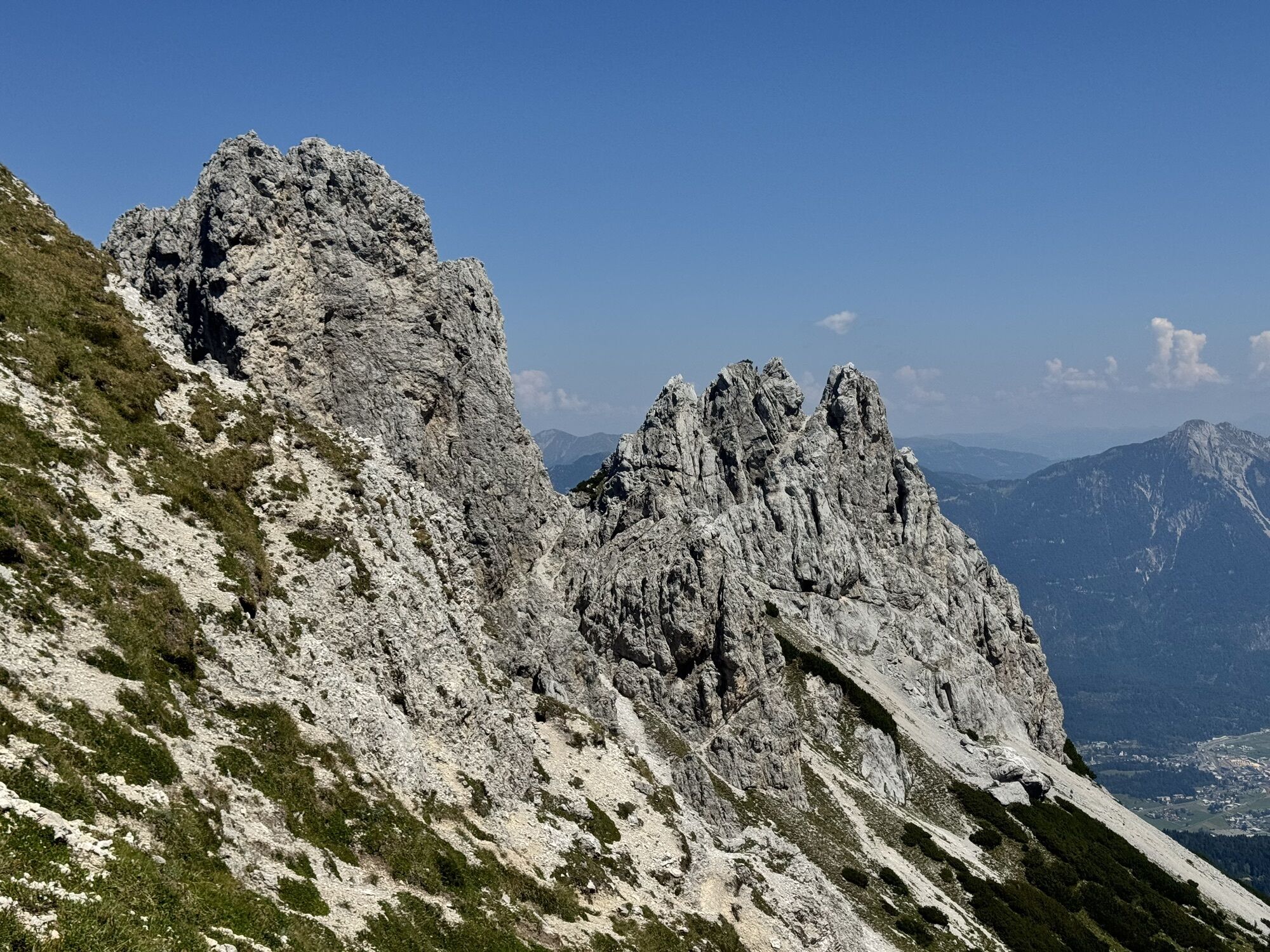
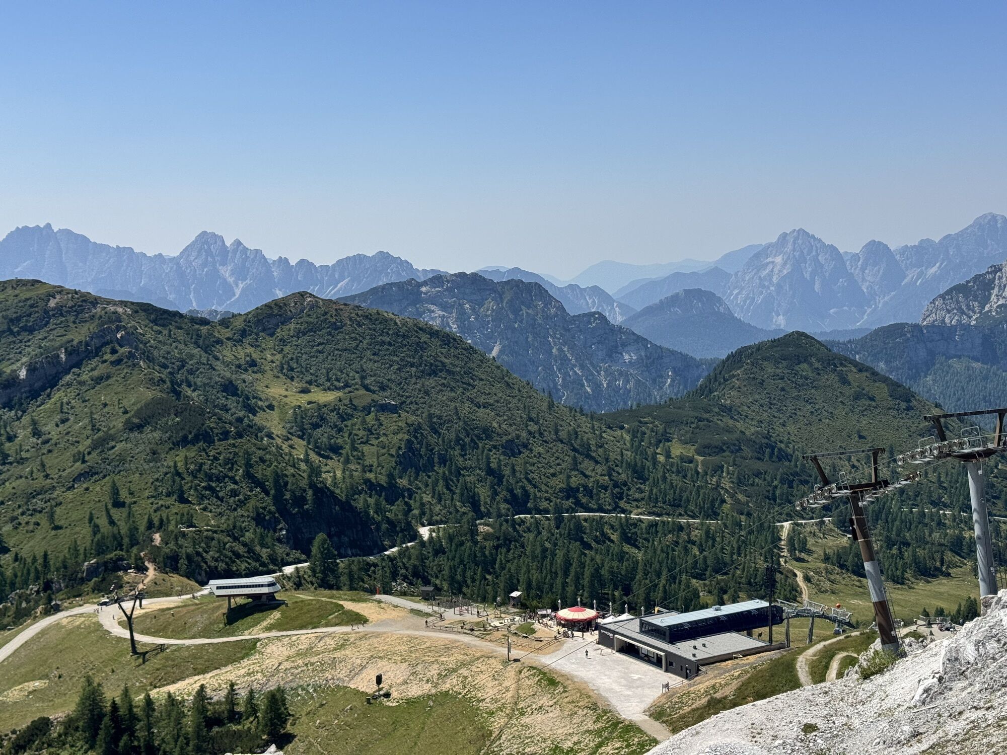
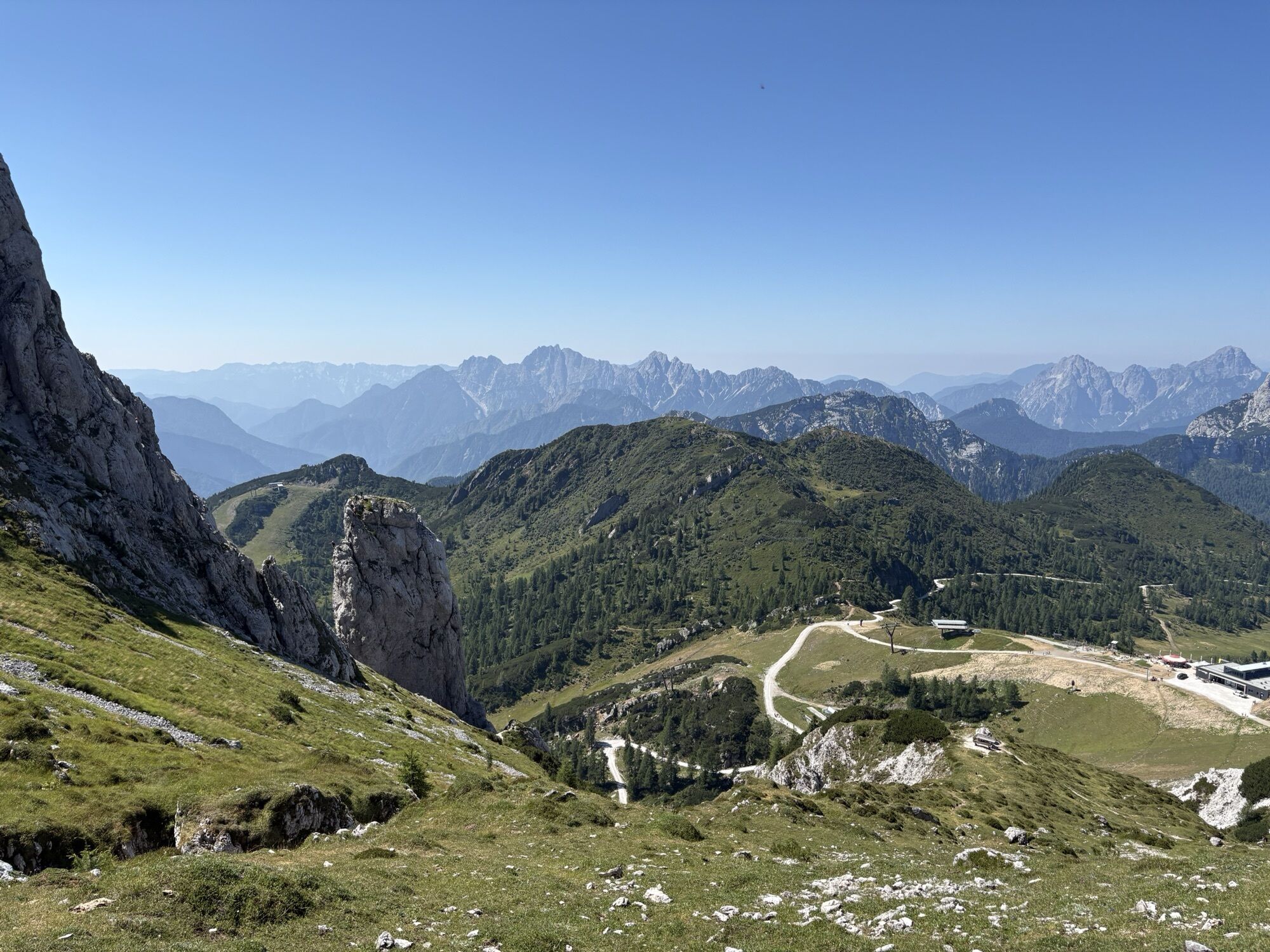
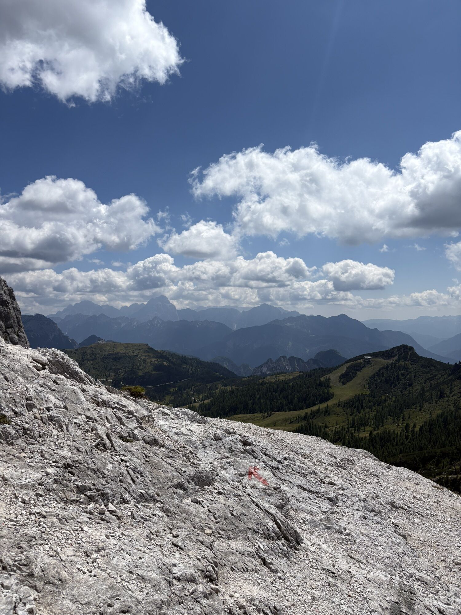
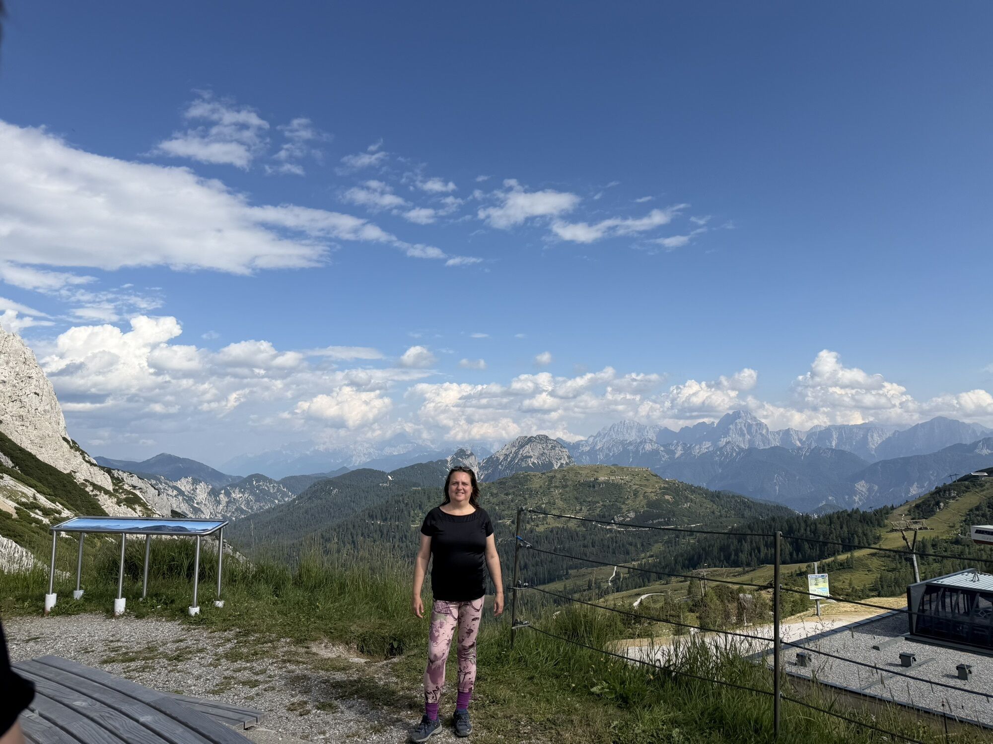
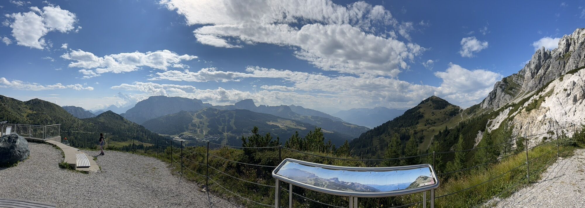
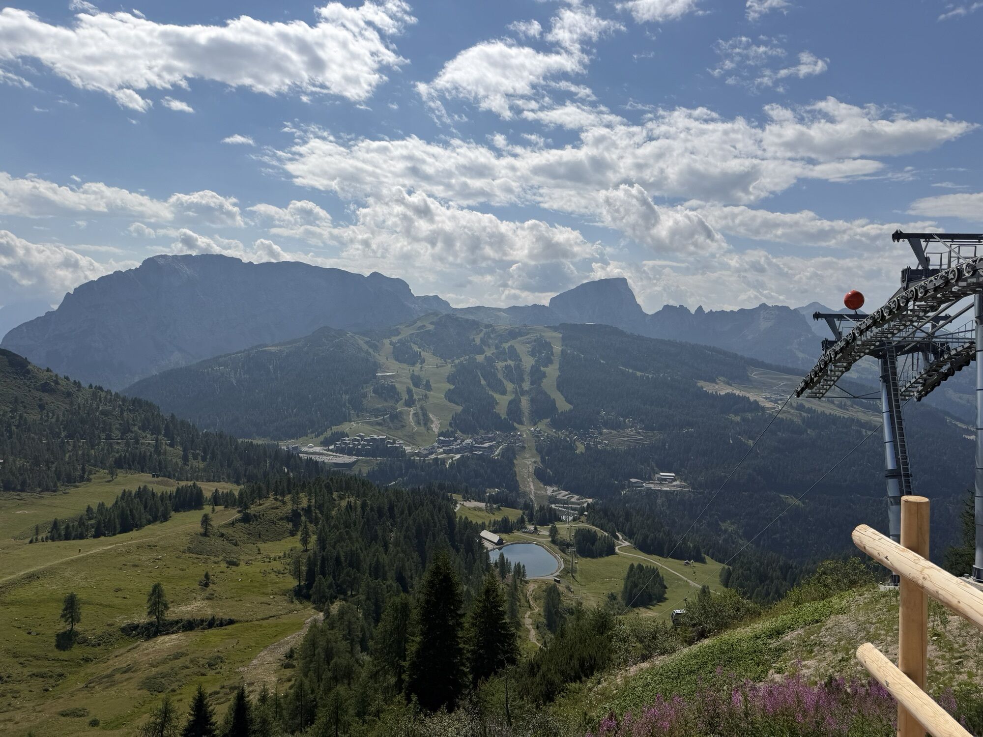
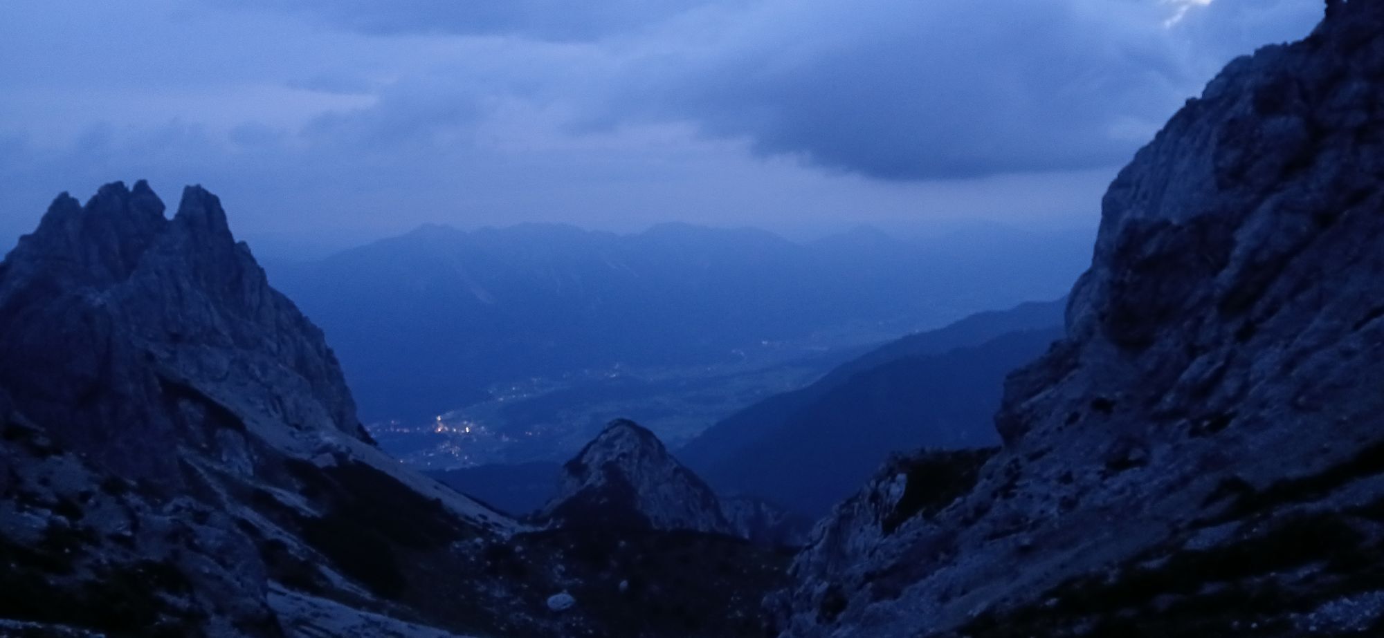
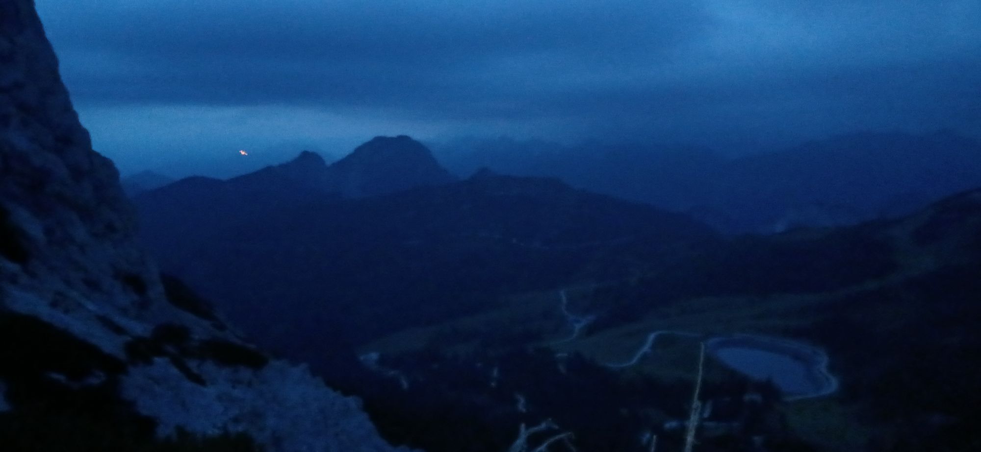
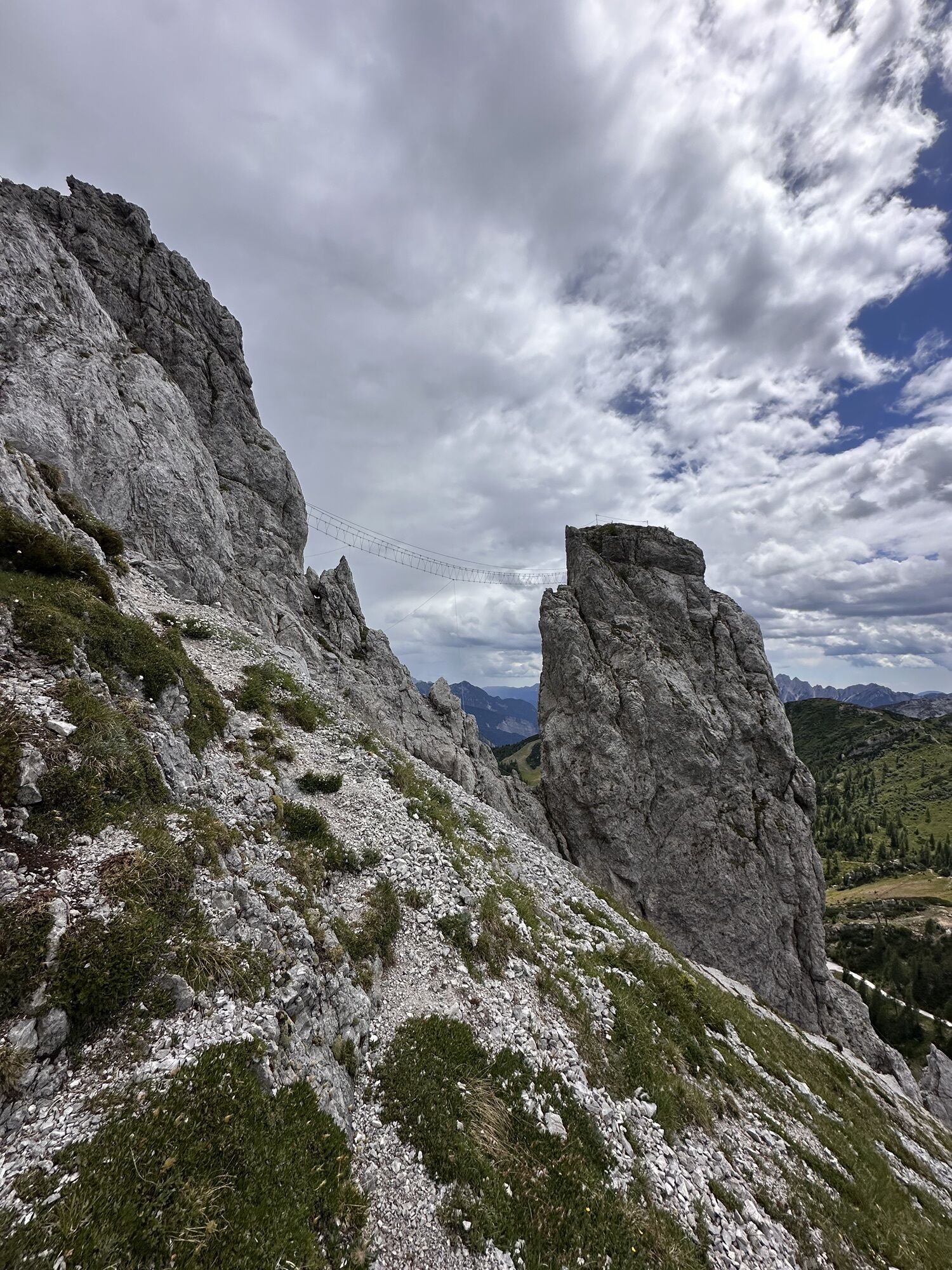
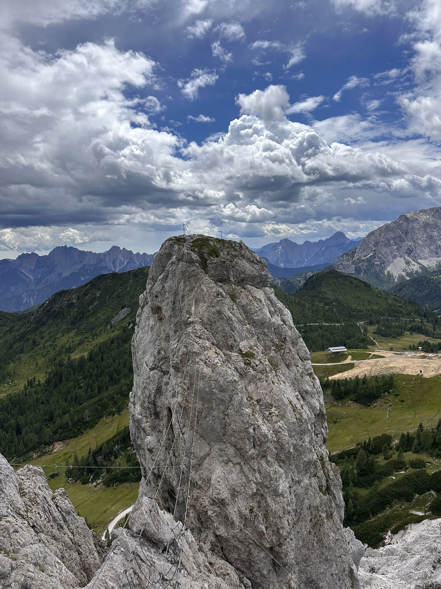
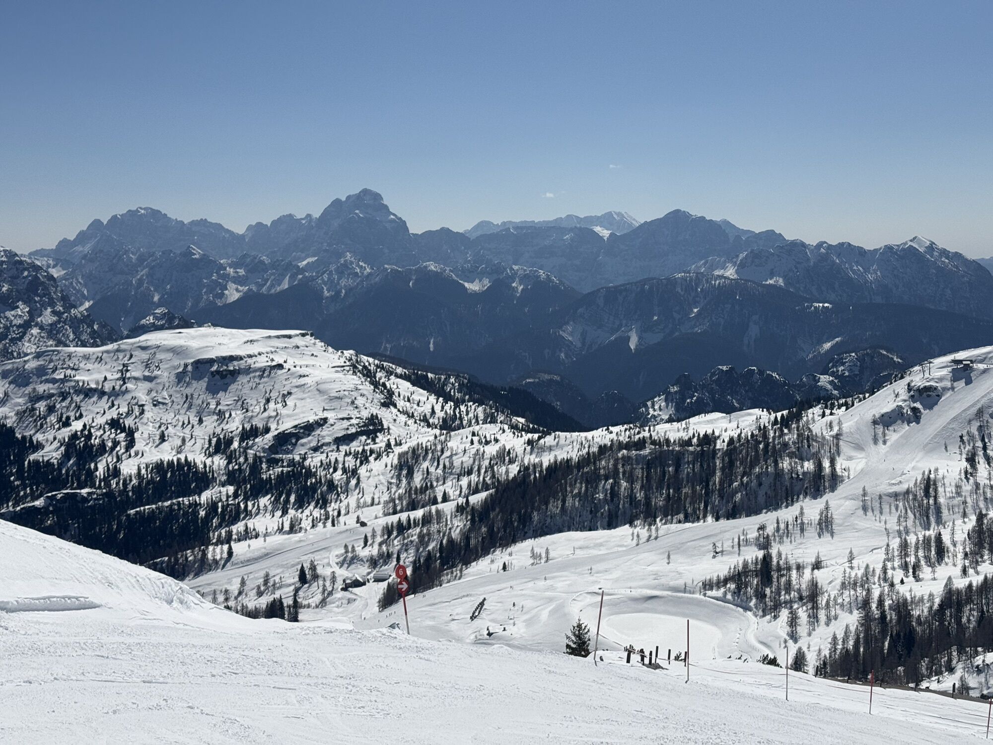
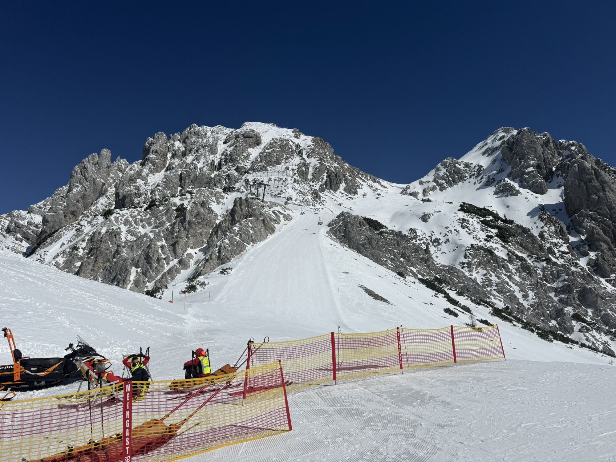
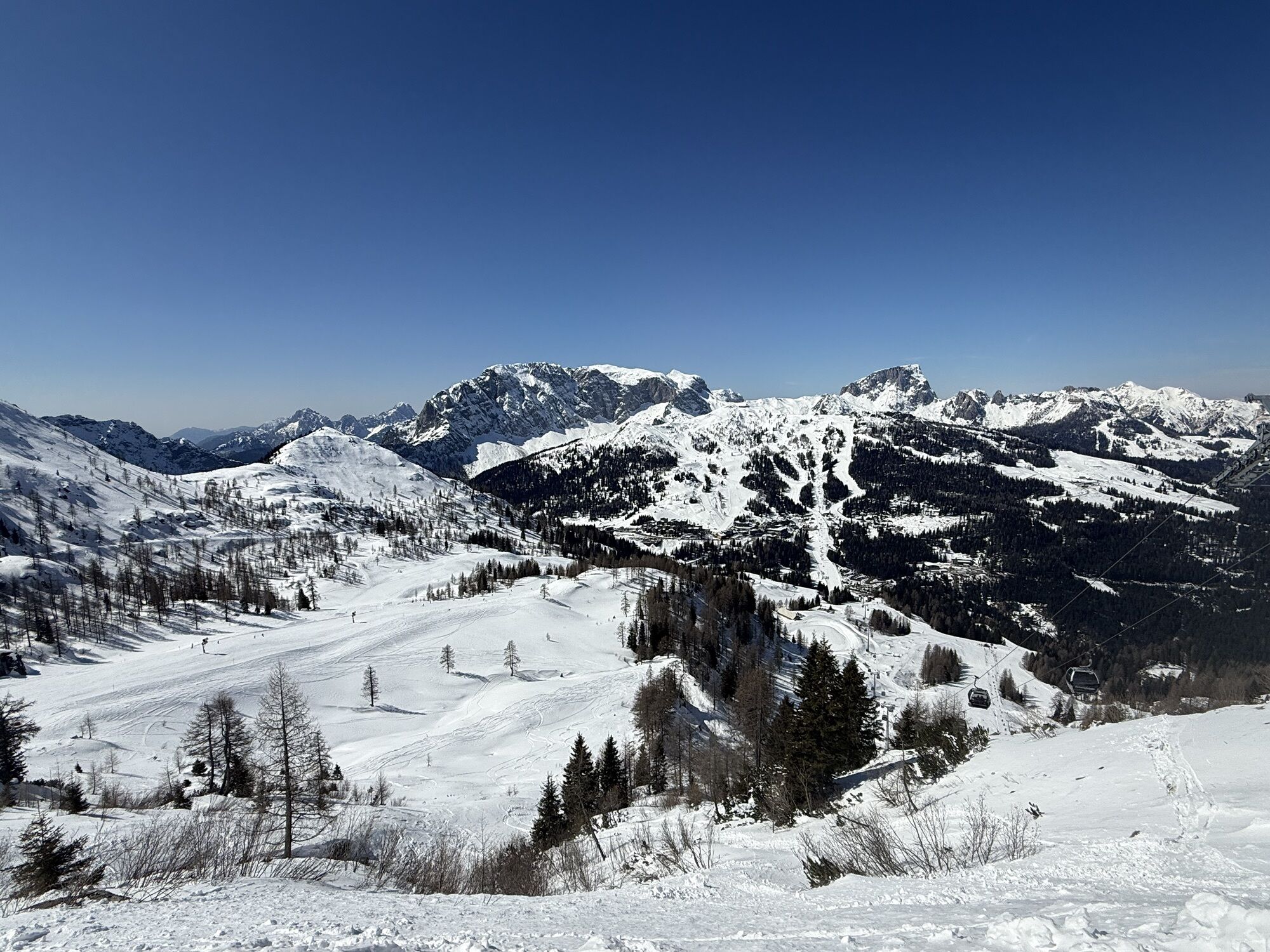
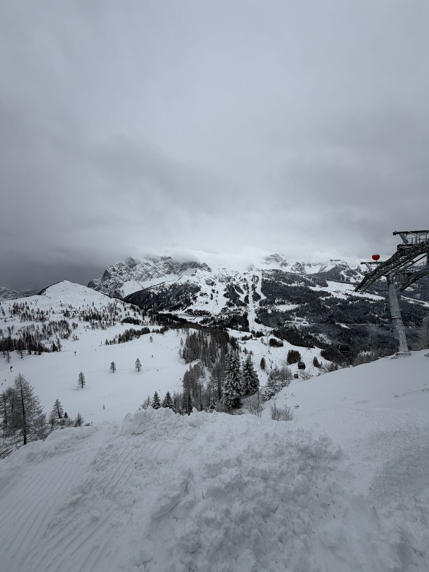
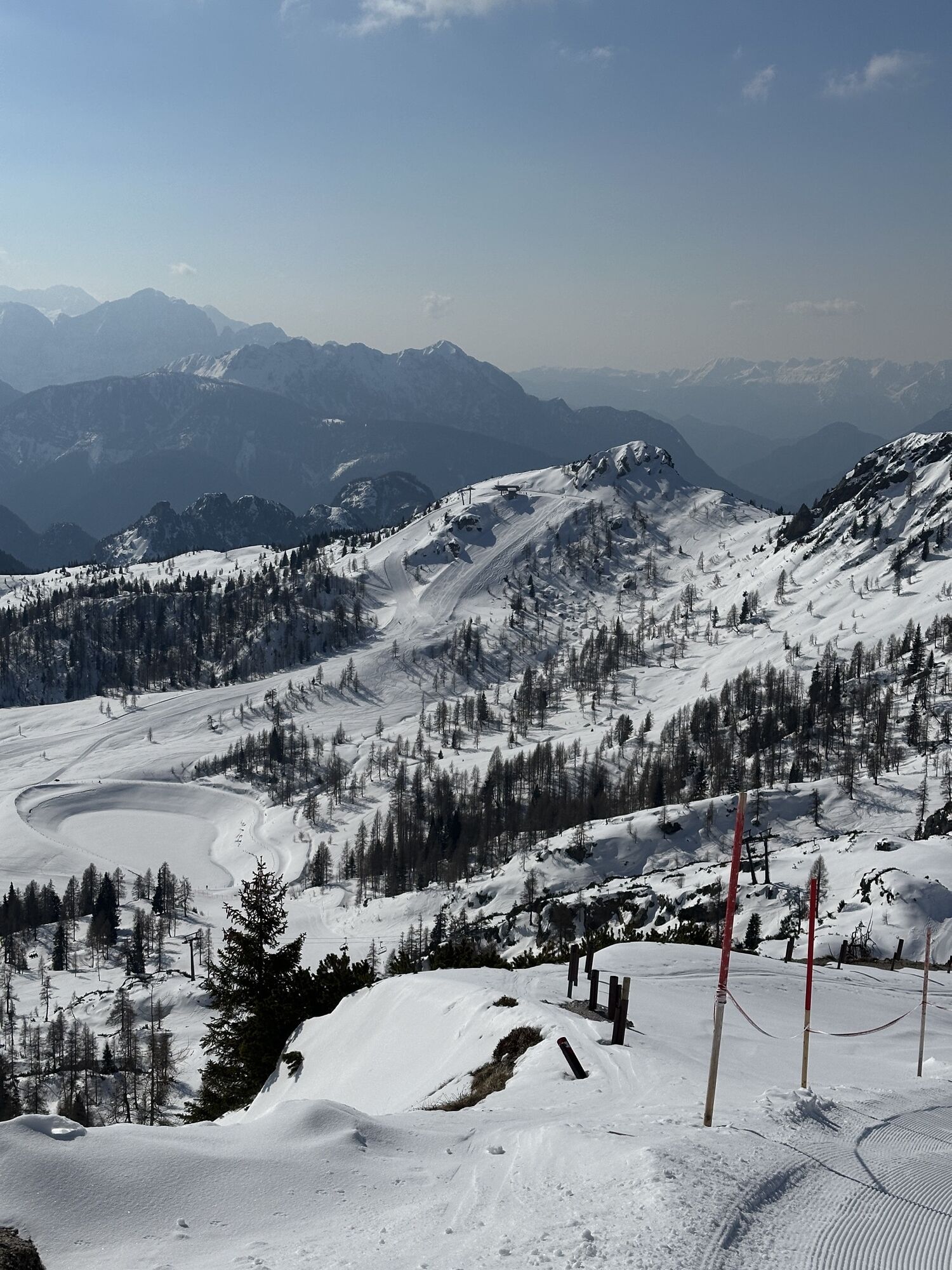
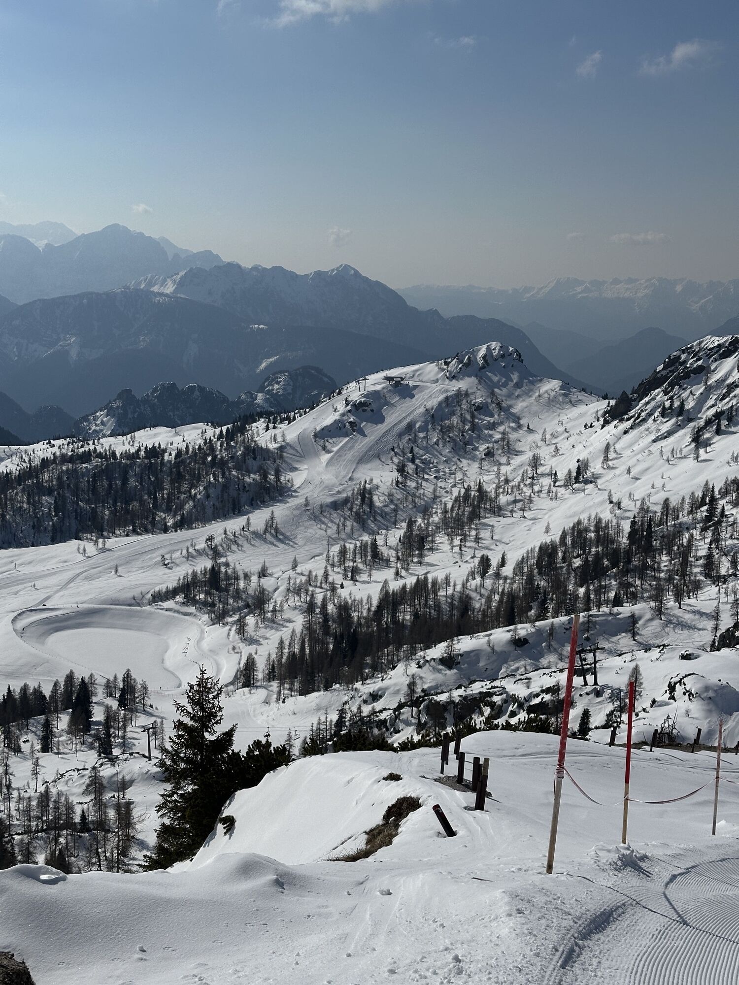
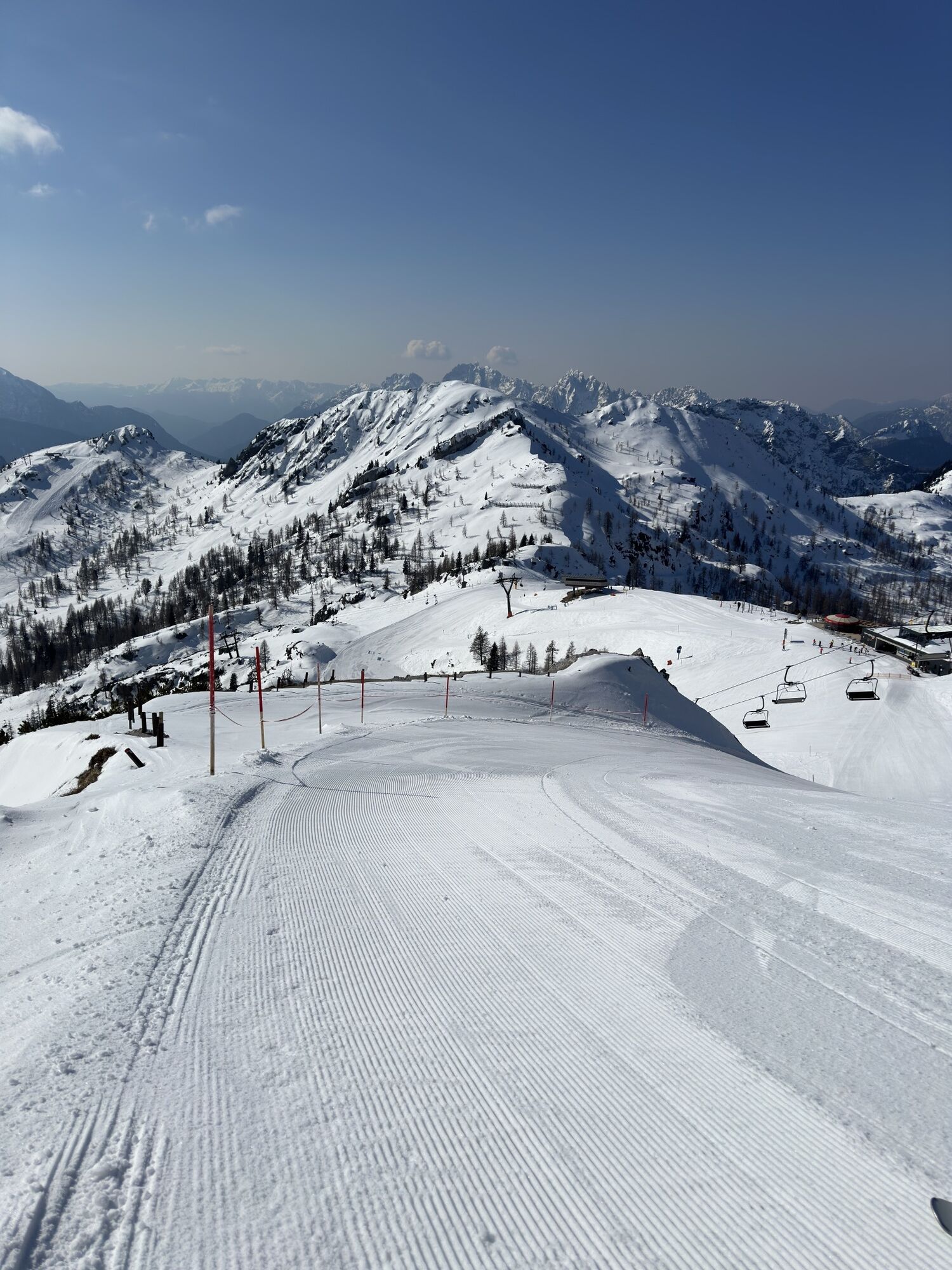
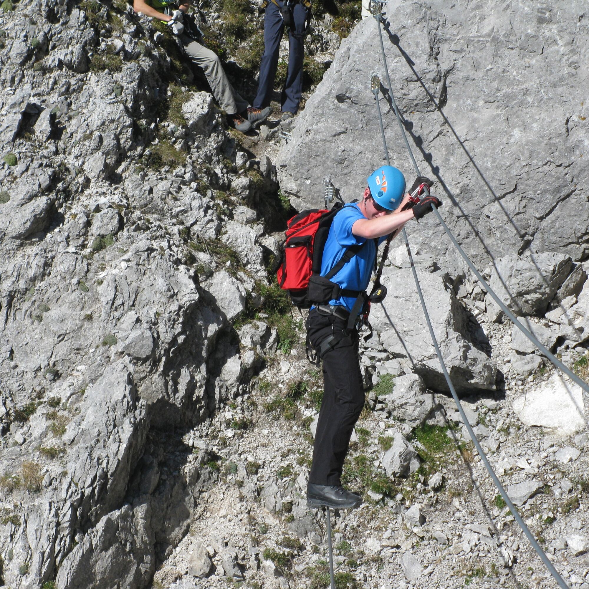
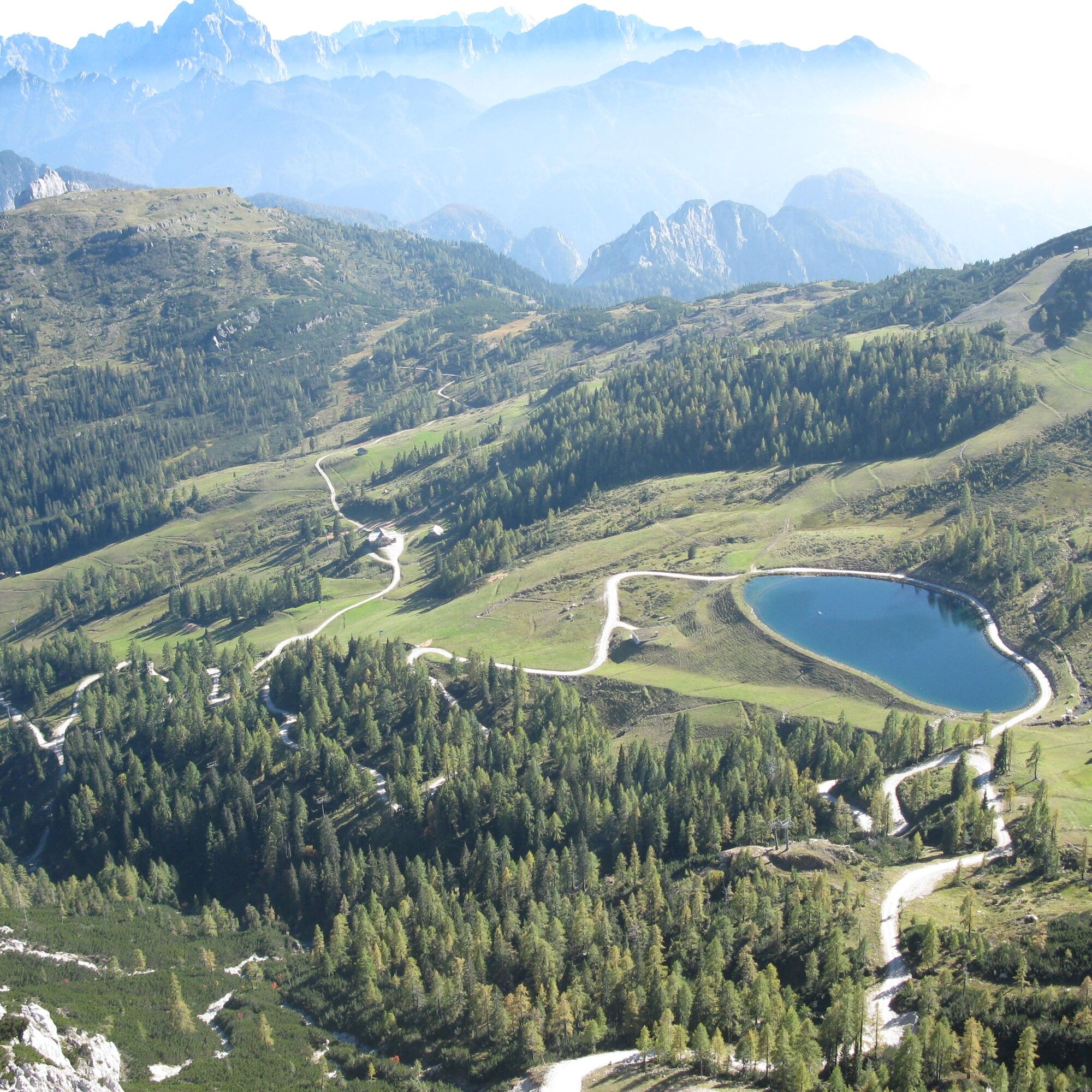
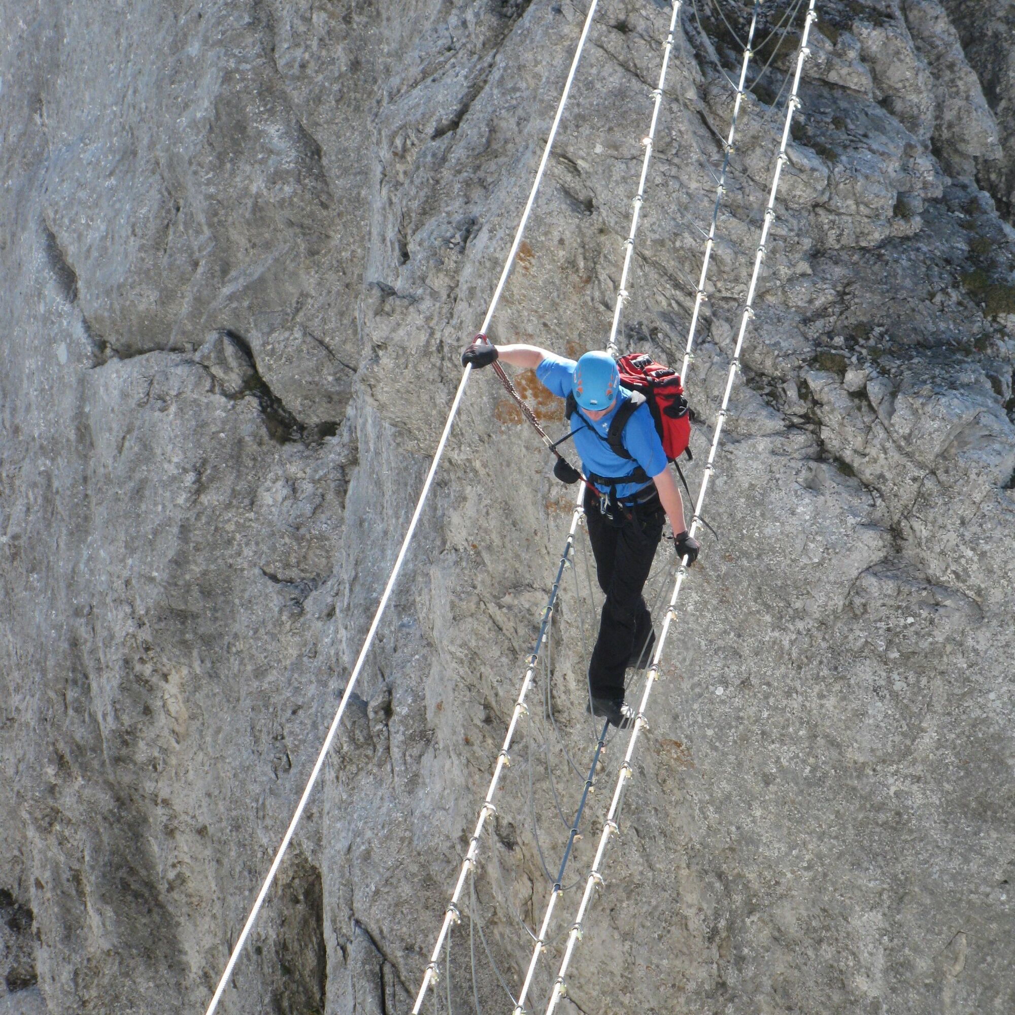
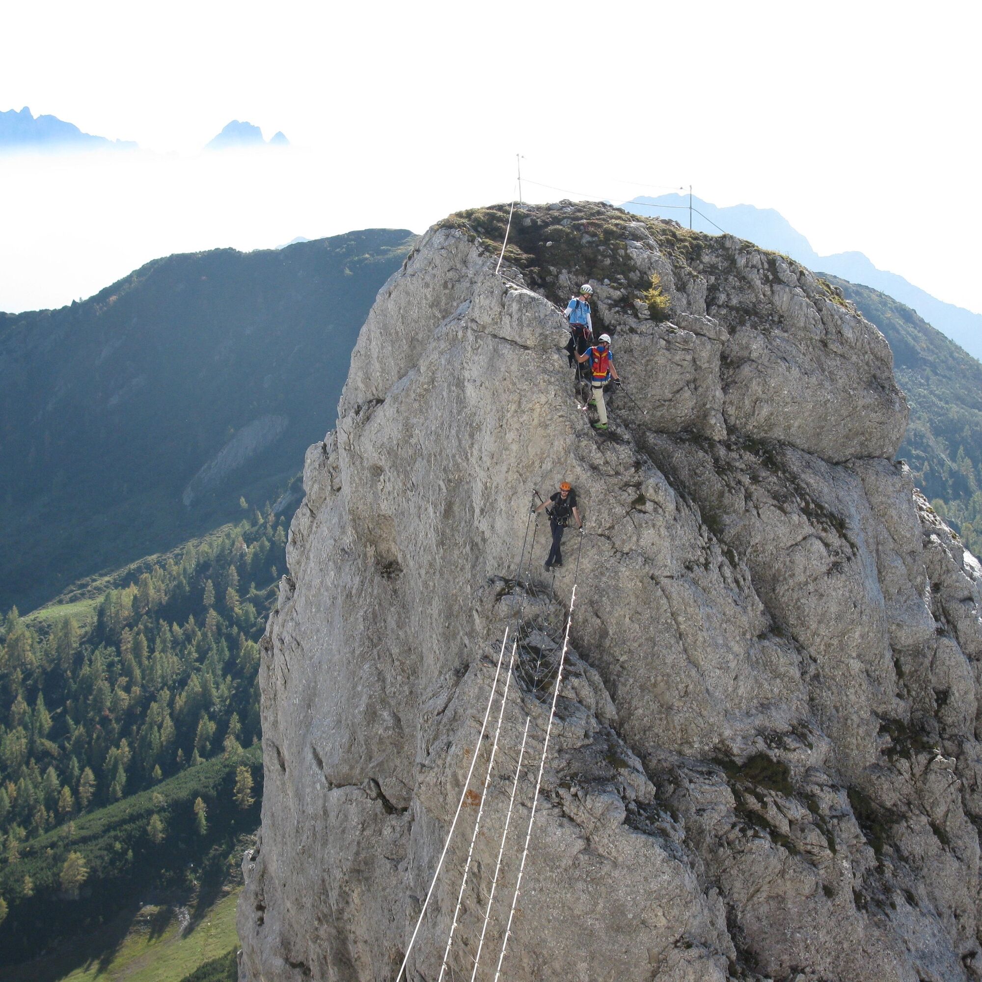
Besides the great views of the Carnic and Julian Alps, the "Däumling" offers some adrenaline-fueled sections. The highlight is certainly the impressive 40 m long "Nepal Bridge," which must be crossed at...
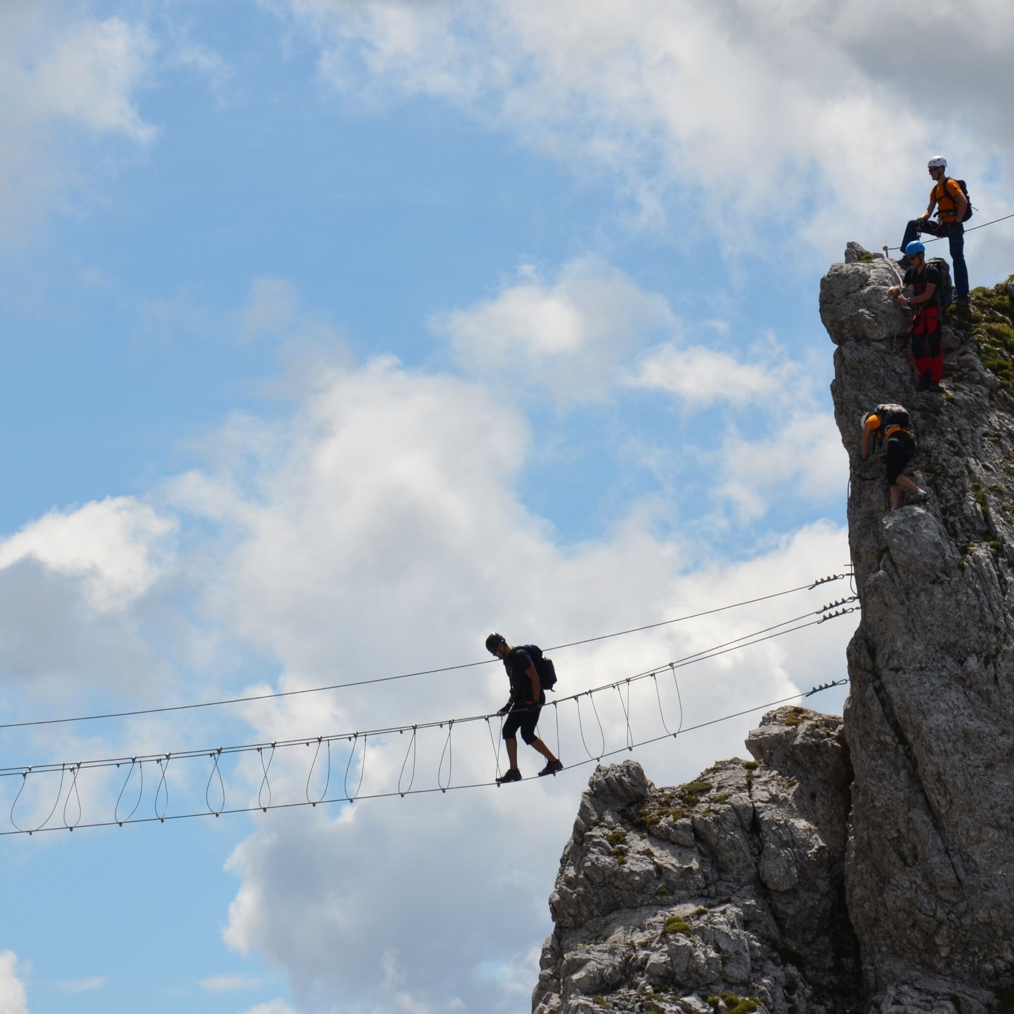
Besides the great views of the Carnic and Julian Alps, the "Däumling" offers some adrenaline-fueled sections. The highlight is certainly the impressive 40 m long "Nepal Bridge," which must be crossed at dizzying heights.


Access:
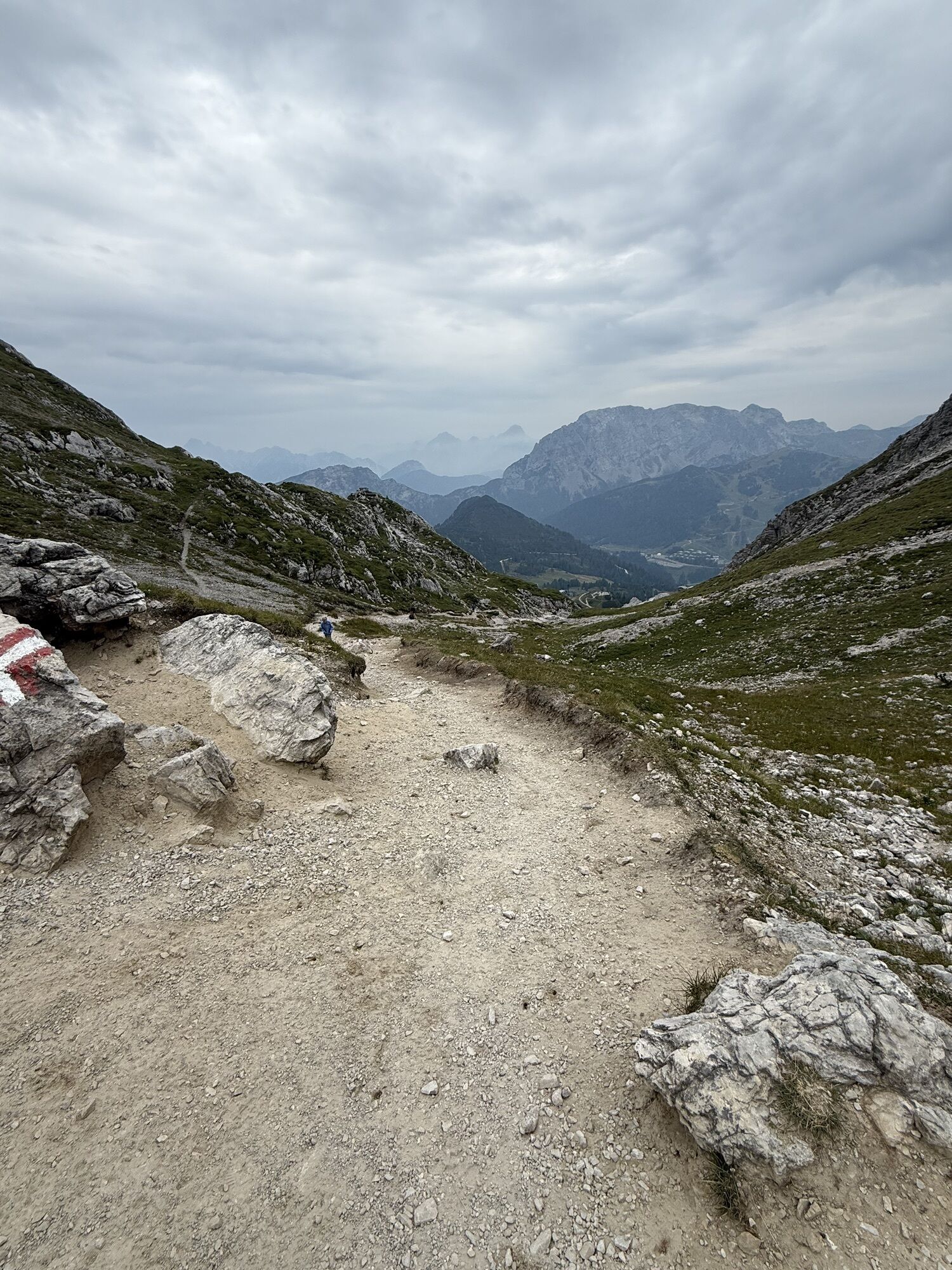
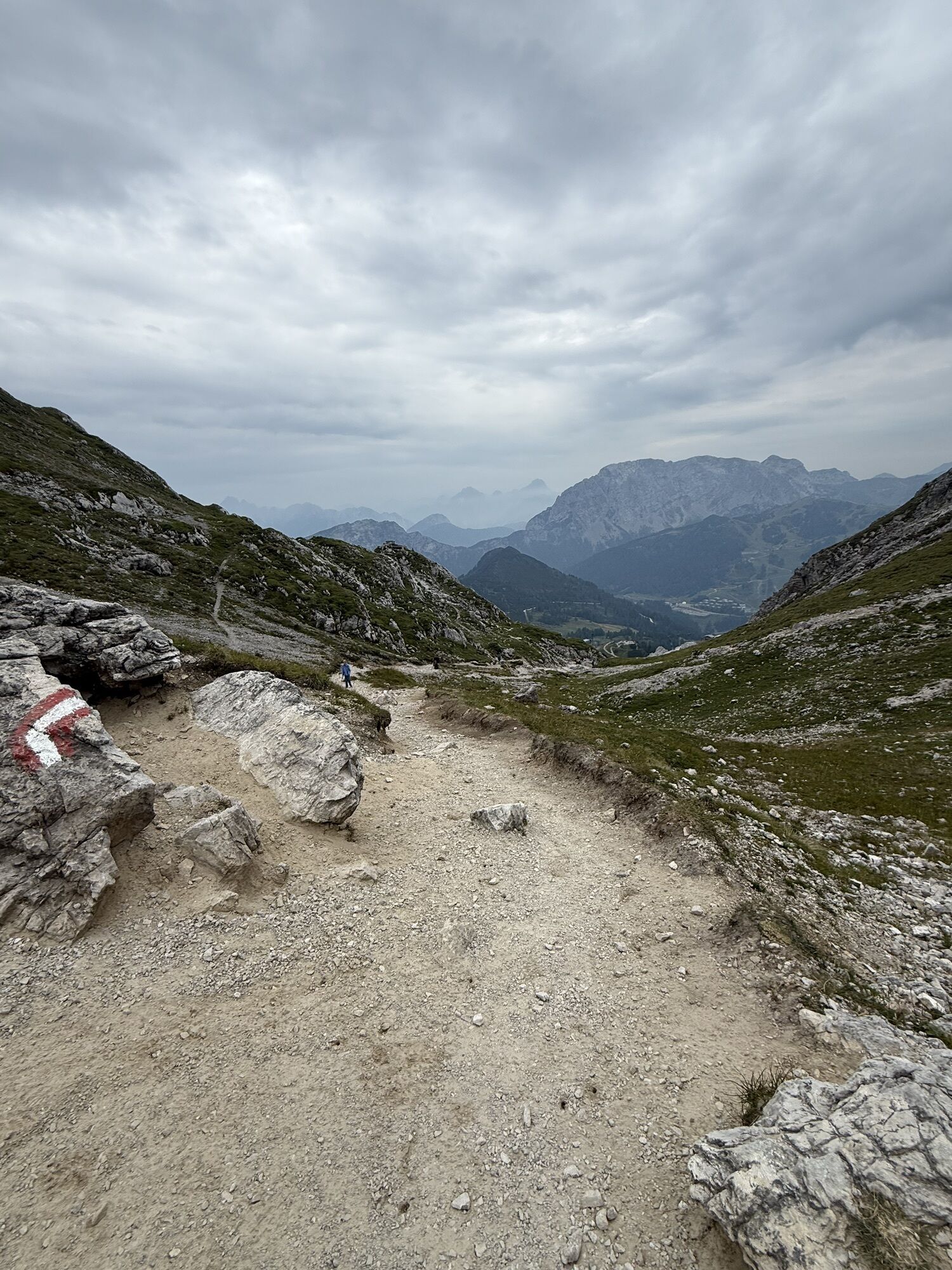
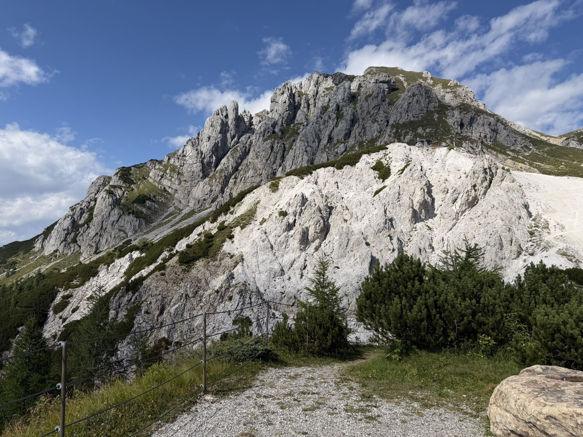
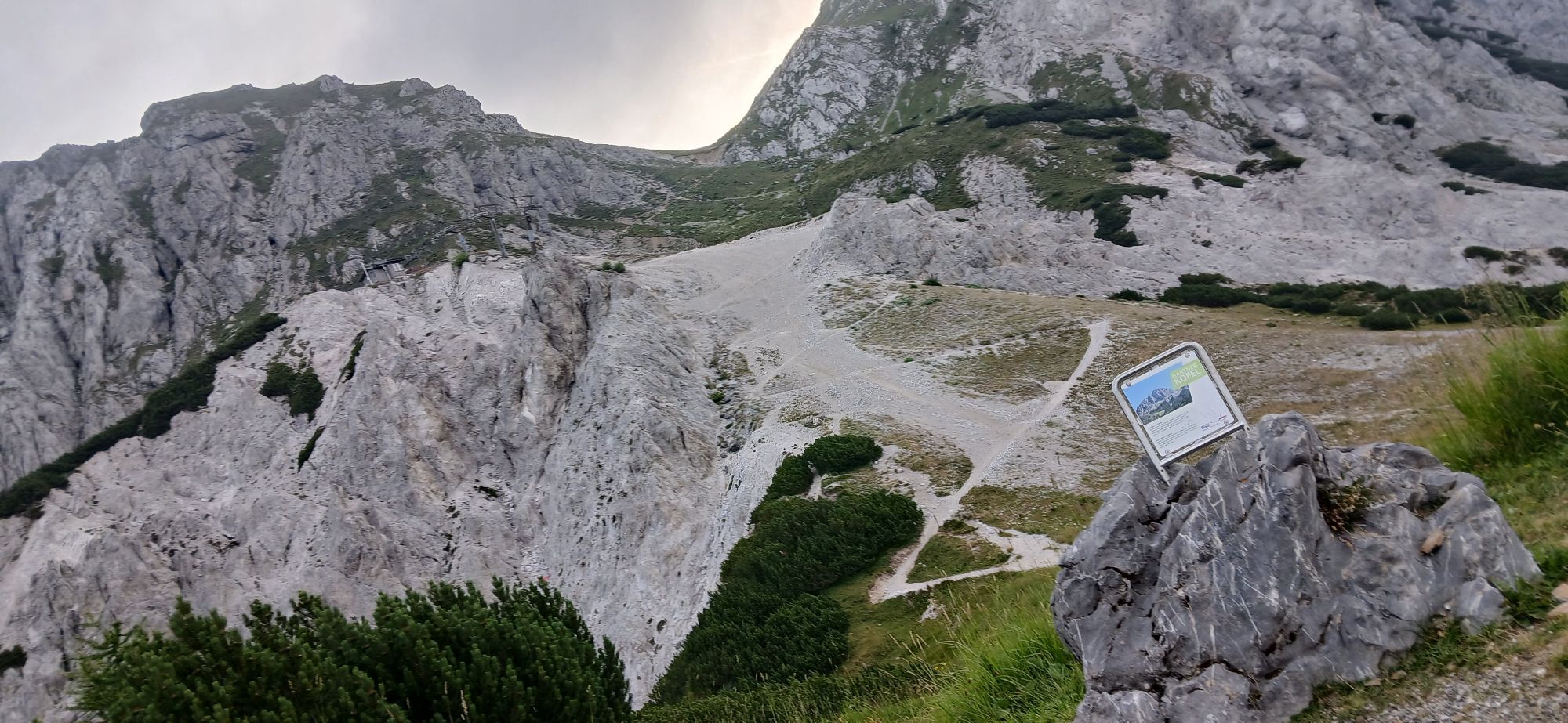
From the Gartnerkofelbahn mountain station, follow the hiking trail to the left over a rocky, steep slope towards Gartnerkofel. Then the path branches right towards Däumling and Gartnerkofel.
At the next fork, continue right to the start of the via ferrata, where you will find a bench and a sign with information about the via ferrata (at the fork, the left or straight path leads to the Gartnerkofel summit).
The secured via ferrata with difficulty level B/C (two sections C) is about 500 meters long. To reach the highest point of the "Däumling," 150 - partly spectacular - meters in altitude must be overcome. The via ferrata offers not only an incredible atmosphere but also some rope bridges, including the 40 m long Nepal Bridge at about 100 m height.
From the path up to the roof of the rock tower, you have a great view of the Carnic and Julian Alps.
After the via ferrata, a climb to the Gartnerkofel summit is also recommended (2,195 m - about 20 minutes walking time from the via ferrata exit).
Tak
Tak
Tak
Complete climbing equipment and helmet are necessary!
FAIR PLAY & RESPECT:
Care for nature – landowners – your health... and safety on the mountain have the highest priority during your route/your mountain sport experience and the related route planning!
Therefore, before every via ferrata experience, check the rules of conduct - Mountain Safety - as well as the current weather conditions.
Waste Disposal:
Waste is sometimes unavoidable – but it has no place in nature and must be disposed of properly (preferably in the valley or at home).
Emergency Numbers:
European Emergency Number: 112 (access to any available network)
Austrian Mountain Rescue: 140
Public Transportation:
The most sustainable way to reach the area is by train (coming from Villach) to Hermagor. From Hermagor you can then reach the town of Tröpolach by station shuttle as well as bus / ski bus.
Alternatively, there is also the option to travel by bus from Kötschach-Mauthen or Villach to Hermagor or Tröpolach.
From Tröpolach, take the Millennium Express up to the Treßdorfer Alm station. From there, you can reach the valley station of the Gartnerkofelbahn after about 2 km on foot.
Details at - Mobility info Nassfeld as well as Kärntner Linien route planner.
Arrival by Car:
Via the B111 (Gailtal Road) to Tröpolach – from there via the B90 (Nassfeld Pass Road) to the intersection L22a/B90 – turn right here onto L22a towards Sonnleitn (a few meters before the valley station of the Tröglbahn).
By bus or train to Tröpolach and then by taxi to the valley station of the Gartnerkofel 4-seater chairlift.
Free parking is available at the valley station of the Gartnerkofelbahn – directly next to the L22a.
B/C
Are you looking for via ferrata tips in the region as well as a certified mountain guide for a guided via ferrata tour?
You can find this and many more infos at - Route tips and provider info
Dining options:
- Watschiger Alm
- as well as numerous year-round open inns, huts, and restaurants at Nassfeld - details at Service A-Z.
After the via ferrata, a climb to the Gartnerkofel summit is also recommended (2,195 m - about 20 minutes walking time from the via ferrata exit).
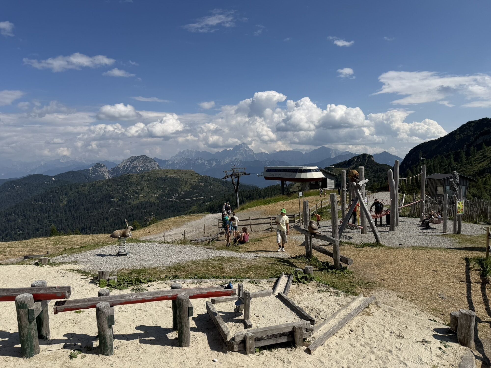
There are also other attractions at the mountain station – younger children can let off steam at the natural mountain playground "Almrausch", while the freestanding Sky Plate viewing platform invites you to enjoy great views.
Note: The difficulty rating only applies to the via ferrata itself, not to the ascent and descent.

Kamery internetowe z trasy

Popularne wycieczki w okolicy
-
4,7
W5 - Naggler Alm Round Weissensee
średniMountainbike 15,8 km -
4,8
Tarvisio - Venzone (C101)
średniKolarstwo długodystansowe 64,7 km -
4,5
RW_N9 Weißenbachklamm
średniWędrówka 7,49 km -
4,6
Bergstation Weißensee bis Golz
średniWędrówka 14,8 km -
5,0
Bodenalm - Ostufer - mit dem Schiff zurück
Mountainbike 19,1 km -
5,0
Nassfeld Grenze - Gartnerkofel
światłoWędrówka 8,41 km -
4,9
Weißenbachklamm
ciężkiWędrówka 5,80 km -
4,3
Slow Trail Pressegger See RW_N16
światłoWędrówka 5,78 km -
4,3
Malurch Nassfeld
średniWędrówka 9,60 km -
4,7
Poludnig - der Fast-Zweitausender hihi
średniWędrówka 12,4 km
Wędrówki i tropienie


Nie przegap ofert i inspiracji na następne wakacje
Twój adres e-mail została dodana do listy mailingowej.





