







Lahnwanderweg stage 04 upstream Buchenau - Biedenkopf
The Grenzgänger (people who are crossing borders on a regular basis) of the town Biedenkopf will walk in a precession right around the town´s perimeter and make a real ball of it. The dates that can be...
The Grenzgänger (people who are crossing borders on a regular basis) of the town Biedenkopf will walk in a precession right around the town´s perimeter and make a real ball of it. The dates that can be found on the Vesperplatz "Lippershardt" east of Biedenkopf provide proof to this custom that has its origins in the Germanic tribes' border patrols. The custom was continued in the Middle Ages, when the border was not yet marked by cadasters and stones. This stage will not follow the Grenzgänger way all the time but will touch it again and again until it will reach Biedenkopf.
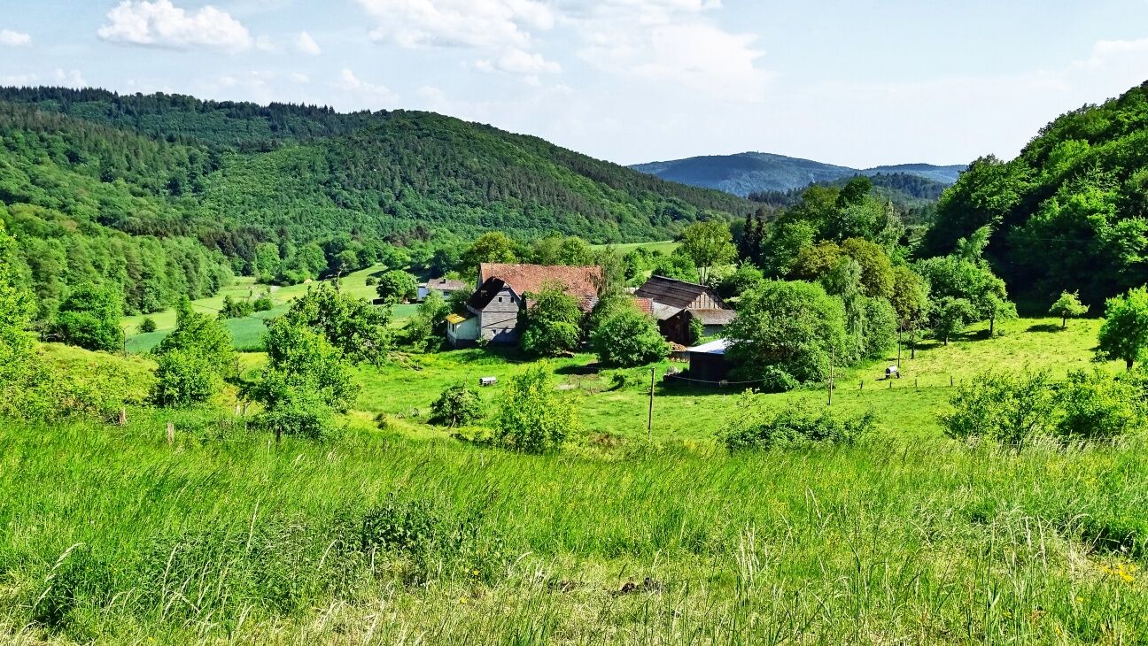
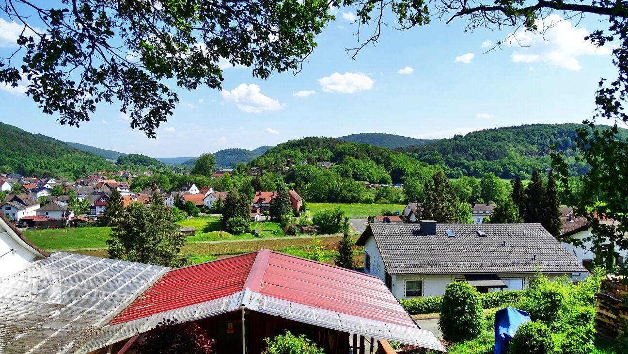

Now you will follow the Katzenbach which can be crossed via a wooden bridge. A short uphill section has to be overcome after which the trail leads further into the Katzenbach valley. At the end of the valley you will reach the smallest district of Biedenkopf that only has 30 inhabitants: the tiny hamlet of Katzenbach. It is quite a romantic spot on earth and even has a stop for refreshments. Walking uphill through the forest, you will now reach the Landgrafenbuche. The huge natural monument is situated at a much-branched crossing with all kinds of directional signs. The old, historical signpost proves the long hiking tradition that exists in this region.
The area at Rahmbusch (441 m) is a flora-fauna conservation habitat and offers a lot of peace and quiet. Passing the hikers’ car park, the trail continues along the edge of the forest. Soon you will arrive at the refuge at the Vesperplatz "Lippershardt" where you can learn a lot about the tradition of the Grenzgänger custom. The trail continues across the Frauenberg where you will walk along the edge of the forest on a way that joins to the "Lahnhöhen-Extratour" hike right above the cemetery. Afterwards you only need to walk down to Biedenkopf. The end of the stage is directly at the railway station which can be reached via the level crossing. The climatic health resort Biedenkopf is located on the border to North Rhine-Westphalia and offers a quaint old town as well as a castle. If you have some time left, you should definitely stop by!
- Rad- und Wanderkarte Oberes Lahntal Lahnwanderweg 6,50€ Maßstab 1:25.000 • ISBN 978-3-86973-129-2
Ordinary hiking equipment required. Take backpack vespers and drinks with you.
Information on restrictions in the rail network can be found here.
B 62 from Marburg to Buchenau or Biedenkopf
Center of Buchenau or Biedenkopf
Since this stage is not very long, there will be enough time in the evening to visit Biedenkopf castle and the old town of Biedenkopf.
Popularne wycieczki w okolicy
-
3,0
Lahnradweg 2nd stage upstream Marburg - Biedenkopf
średniJazda na rowerze 35,7 km -
Cliff path near Allendorf (Eder)-Rennertehausen
światłoWędrówka 10,3 km -
Burgwald Trail Marburg - Frankenberg (South-North)
średniWędrówka 49,0 km -
Lahnwanderweg Stage 05 Buchenau – Caldern
średniWędrówka 13,5 km -
Lahnwanderweg 04. Stage upstream Buchenau - Biedenkopf
światłoWędrówka 12,5 km -
Lahnwanderweg 6th stage upstream Marburg - Caldern
światłoWędrówka 15,9 km -
Lahn cycle path 1st stage upstream Biedenkopf - Feudingen/Lahn source
ciężkiJazda na rowerze 30,7 km -
Via Adrina - The Eder hiking route with wonderful views
ciężkiWędrówka 20,8 km -
Wichtelrundweg Christenberg
światłoTrasa tematyczna 0,90 km -
Lahn-Facette Entenberg
średniWędrówka 8,96 km
Wędrówki i tropienie


Nie przegap ofert i inspiracji na następne wakacje
Twój adres e-mail została dodana do listy mailingowej.





