







The bottom of Oneux
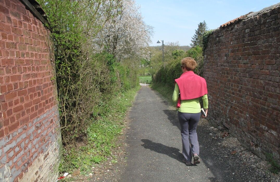
A walk through fields, meadows, and woods, ending on an old railway line converted into a green path.From the parking lot of the community hall, pass near the chapel and the church; cross the cemetery...
A walk through fields, meadows, and woods, ending on an old railway line converted into a green path.
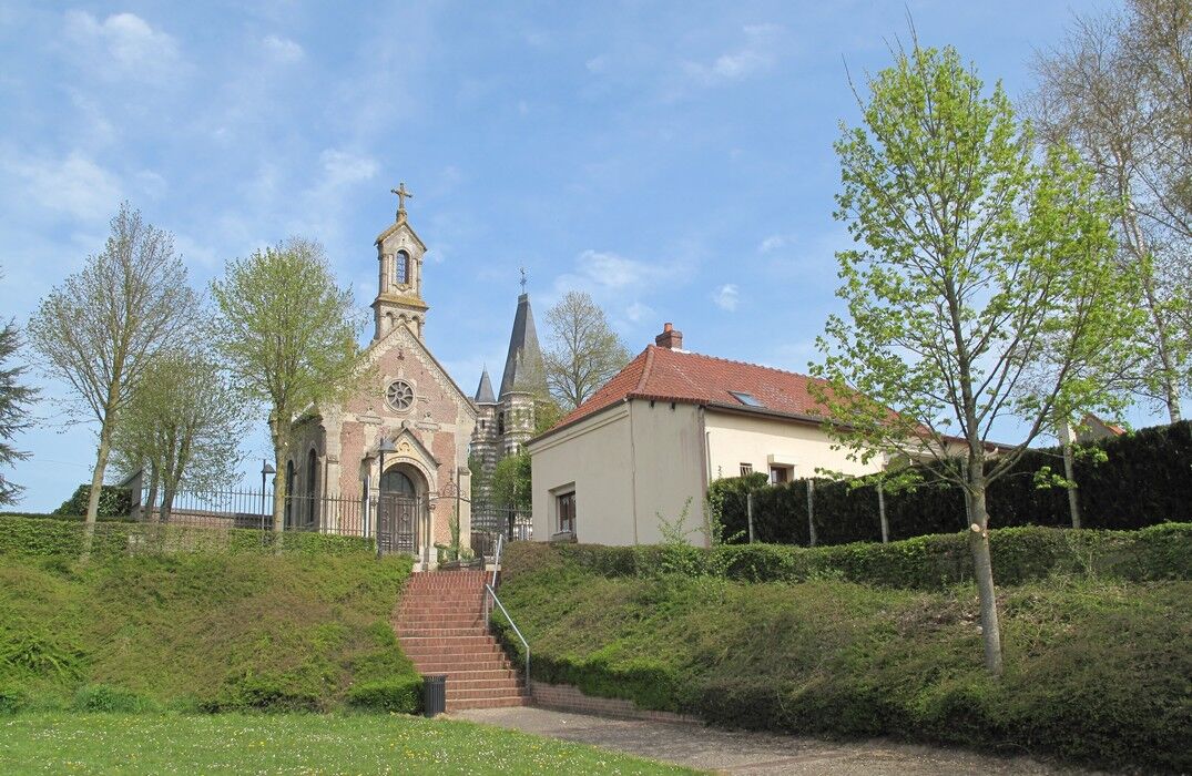
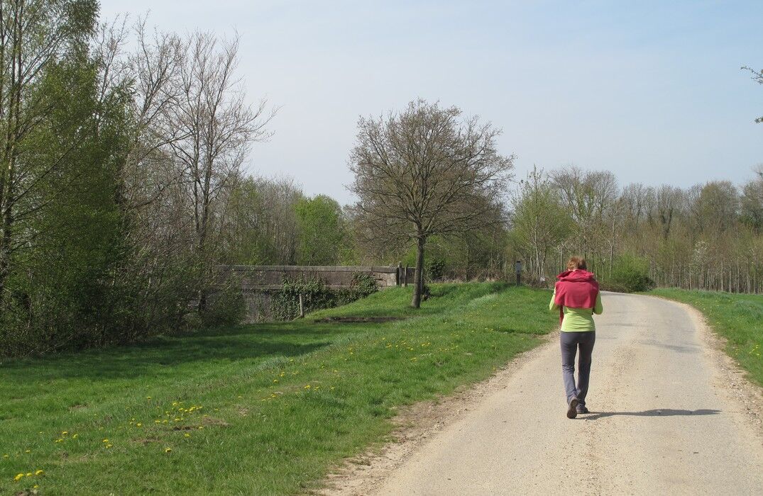
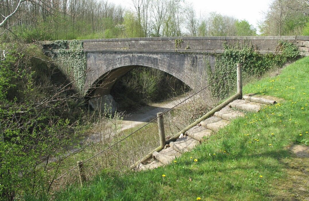
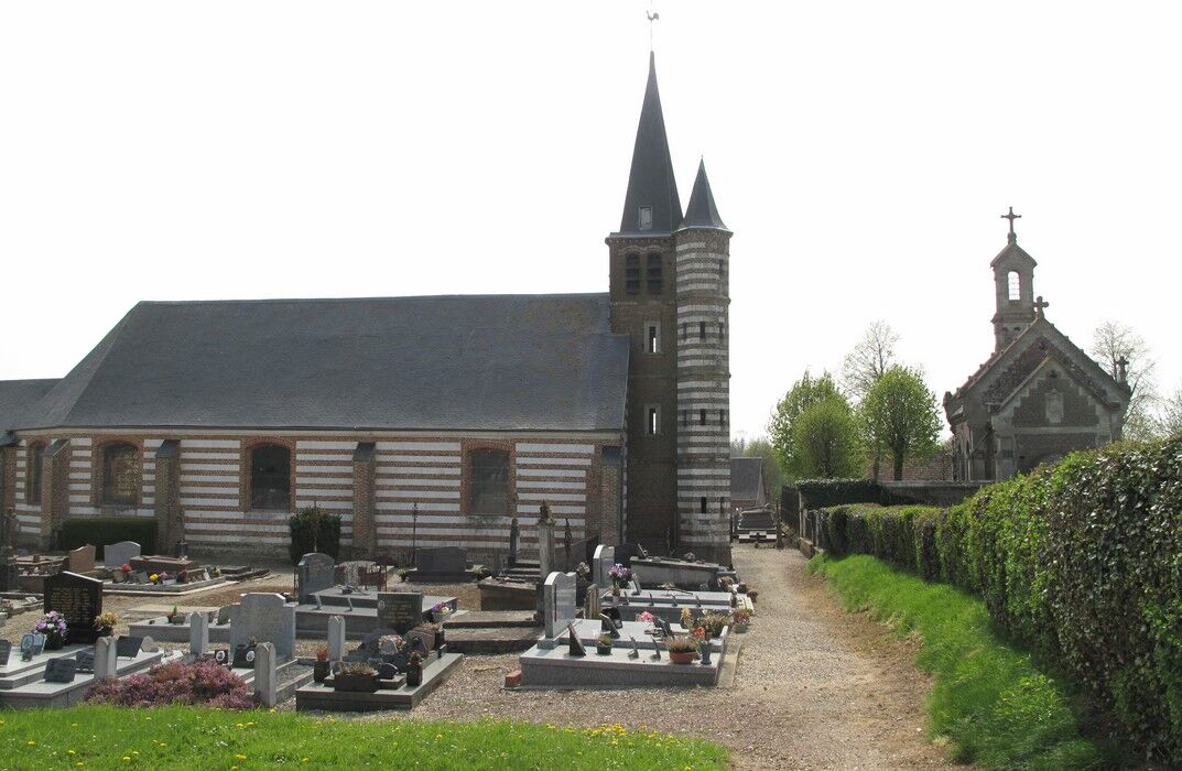
From the parking lot of the community hall, pass near the chapel and the church; cross the cemetery and continue to Rue du Bois. Take the path towards the Oneux woods, follow the woods towards the Festel valley and cross the hamlet. Continue along the 'Traverse du Ponthieu'. The Traverse is a disused railway line converted into a hiking trail between Abbeville and Bernâtre. Pass the St Martin cross, go between a pasture fence and the woodland edge, and continue until the road. Return to the starting point.


Popularne wycieczki w okolicy
-
5,0
The Ponthieu crossing
światłoWędrówka 28,2 km -
The Marsh of Bouvaque
światłoWędrówka 2,13 km -
The Voyeuls route
światłoWędrówka 4,45 km -
The highs of Pont-Rémy
światłoWędrówka 9,48 km -
The Heights of Long
światłoWędrówka 9,50 km -
The banks of the Somme
światłoWędrówka 7,89 km -
Chés Intailles (Loop B)
światłoDroga rowerowa 35,2 km -
Circuit de la Héronnière
światłoWędrówka 2,71 km -
Centuloise Walk
światłoWędrówka 8,93 km -
Pont des Planches Circuit
światłoWędrówka 2,38 km

Wędrówki i tropienie


Nie przegap ofert i inspiracji na następne wakacje
Twój adres e-mail została dodana do listy mailingowej.





