







The banks of the Somme
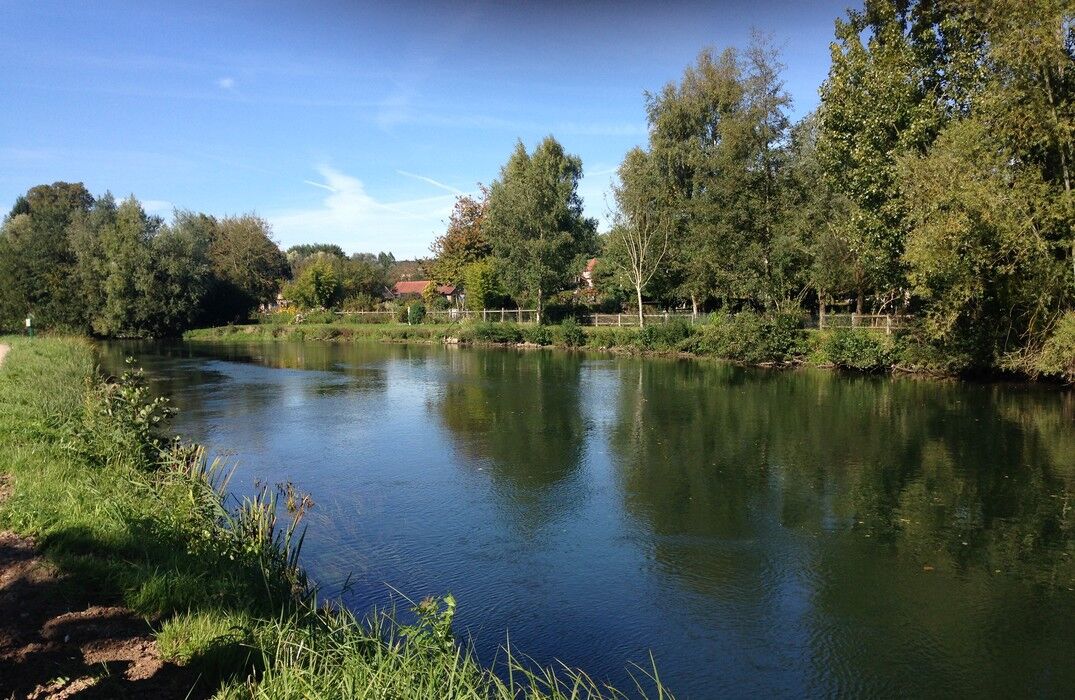
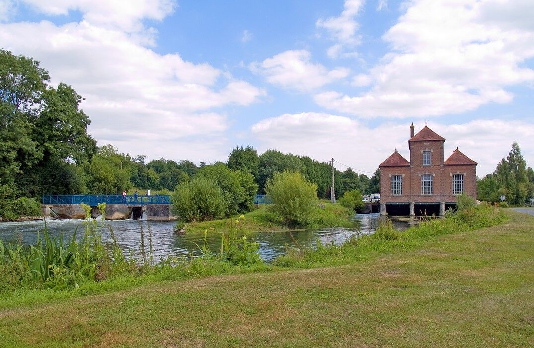
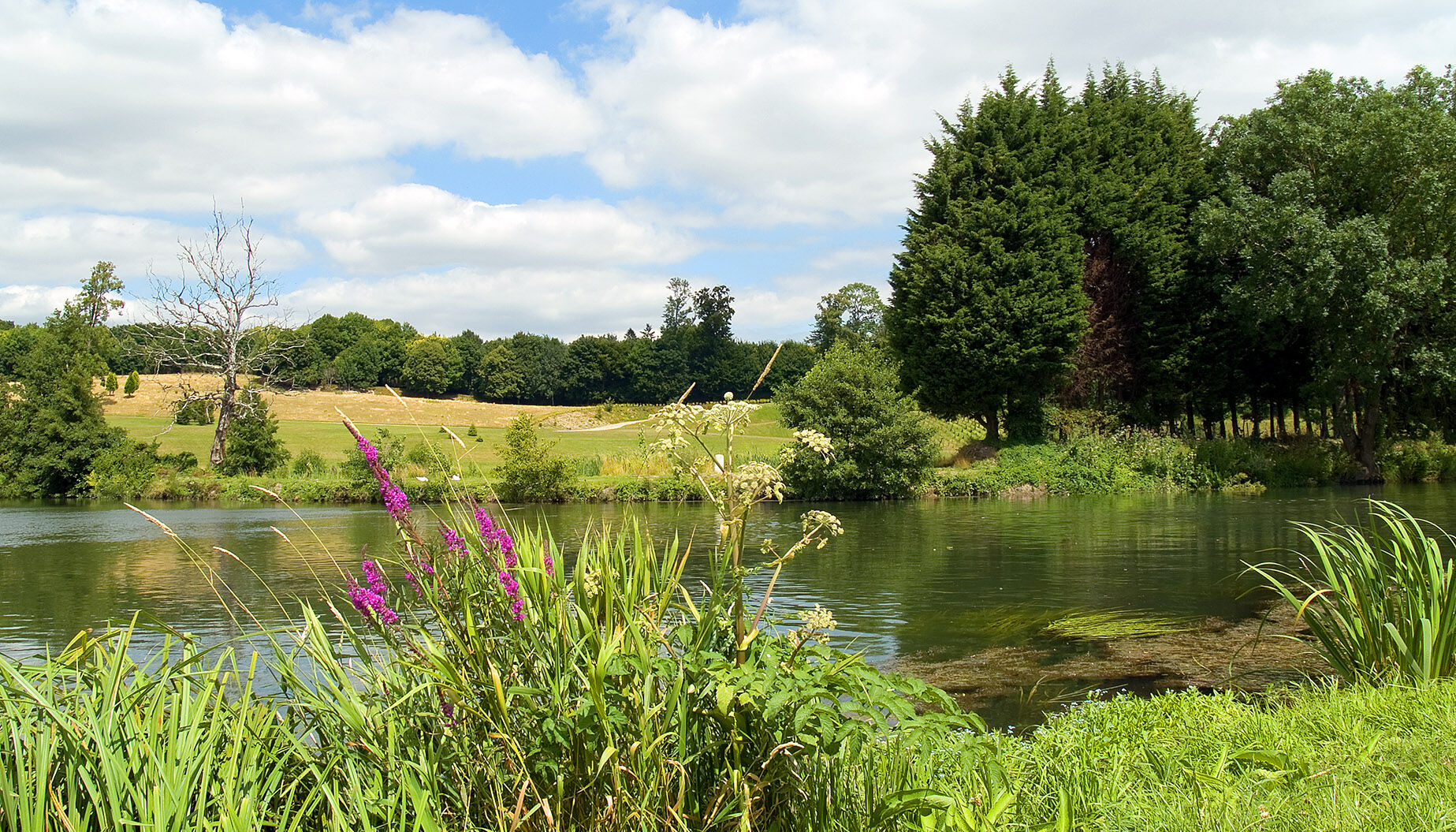
If the Somme still feeds the numerous ponds, the river, controlled by a dam, used to provide electricity to the village.The route takes you through the marsh to the anglers' paradise of Long and reaches...
If the Somme still feeds the numerous ponds, the river, controlled by a dam, used to provide electricity to the village.
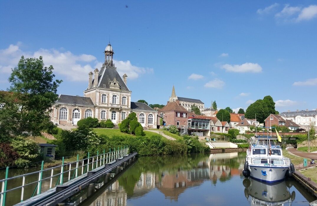
The route takes you through the marsh to the anglers' paradise of Long and reaches the banks
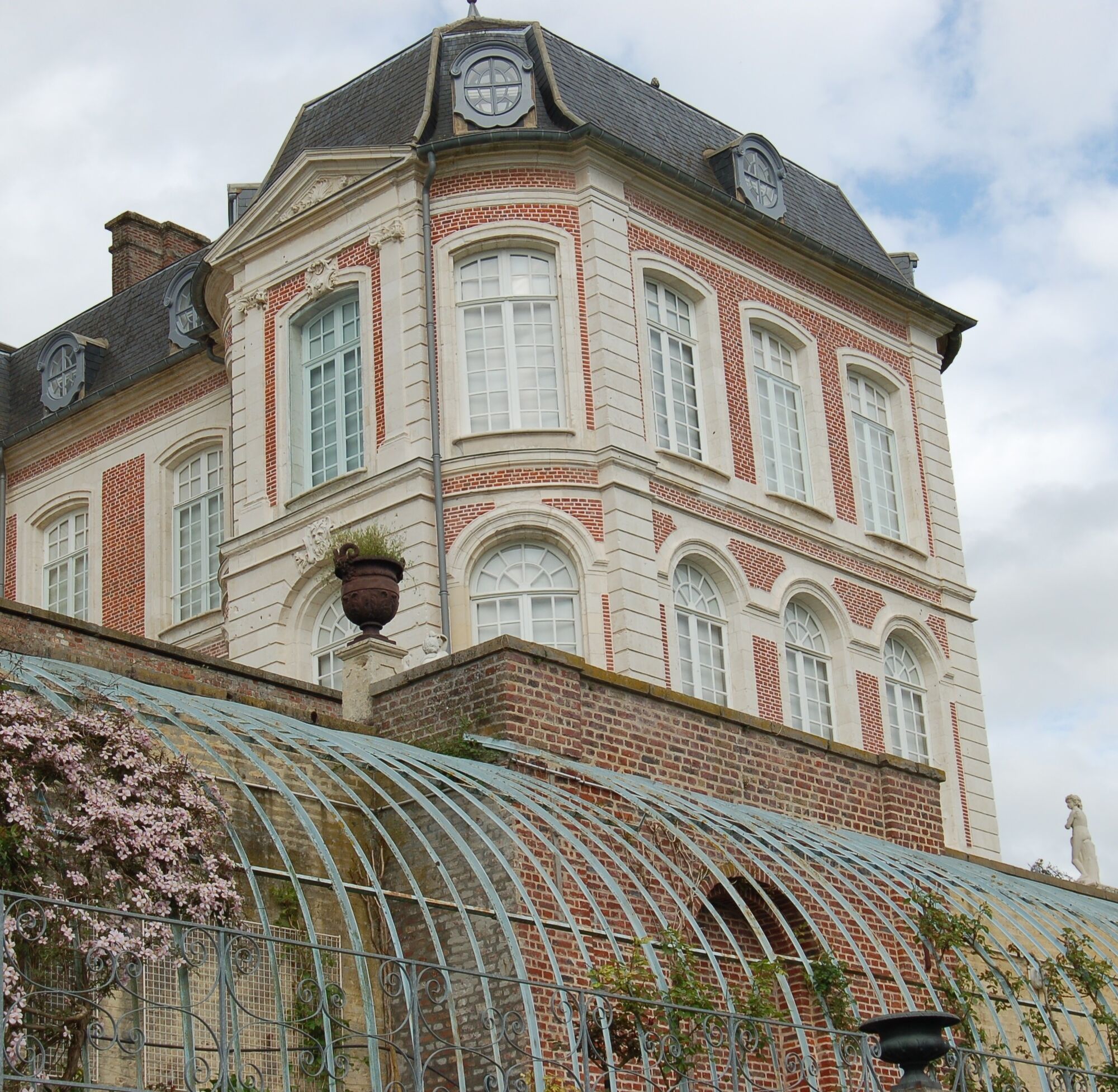
of the Somme by following the towpath. This path was once used to tow boats and barges. Along the way, you will pass the old lock keeper's house, now transformed into a tourist information office, after the blue metal bridge near the lock. Then pass under the bridge spanning the Somme to follow the park of the Long castle and reach the hydroelectric power station, finally arriving at the parking lot.


Popularne wycieczki w okolicy
-
5,0
The Ponthieu crossing
światłoWędrówka 28,2 km -
The Gard Abbey
światłoWędrówka 16,6 km -
The ponds and marshes of Mareuil-Caubert
światłoWędrówka 3,75 km -
The Marsh of Bouvaque
światłoWędrówka 2,13 km -
The Bienfay valley
światłoWędrówka 10,4 km -
The Abbevillois route
światłoDroga rowerowa 50,9 km -
Vimeu to Airaines greenway
światłoWędrówka 21,0 km -
Walk at the Cavins marsh
światłoWędrówka 3,13 km -
Watercourse circuit
światłoWędrówka 4,91 km -
Belloy - La Chaussée
światłoWędrówka 10,4 km

Wędrówki i tropienie


Nie przegap ofert i inspiracji na następne wakacje
Twój adres e-mail została dodana do listy mailingowej.





