







The Heights of Long
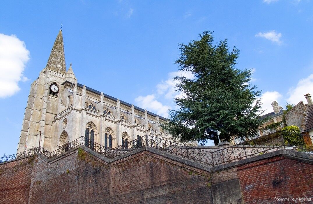
"Long: big church, beautiful castle, head in the fields, feet in the water". Picard version of "Big church, beautiful castle, head in the fields and feet in the water"!From the parking lot, head towards...
"Long: big church, beautiful castle, head in the fields, feet in the water". Picard version of "Big church, beautiful castle, head in the fields and feet in the water"!
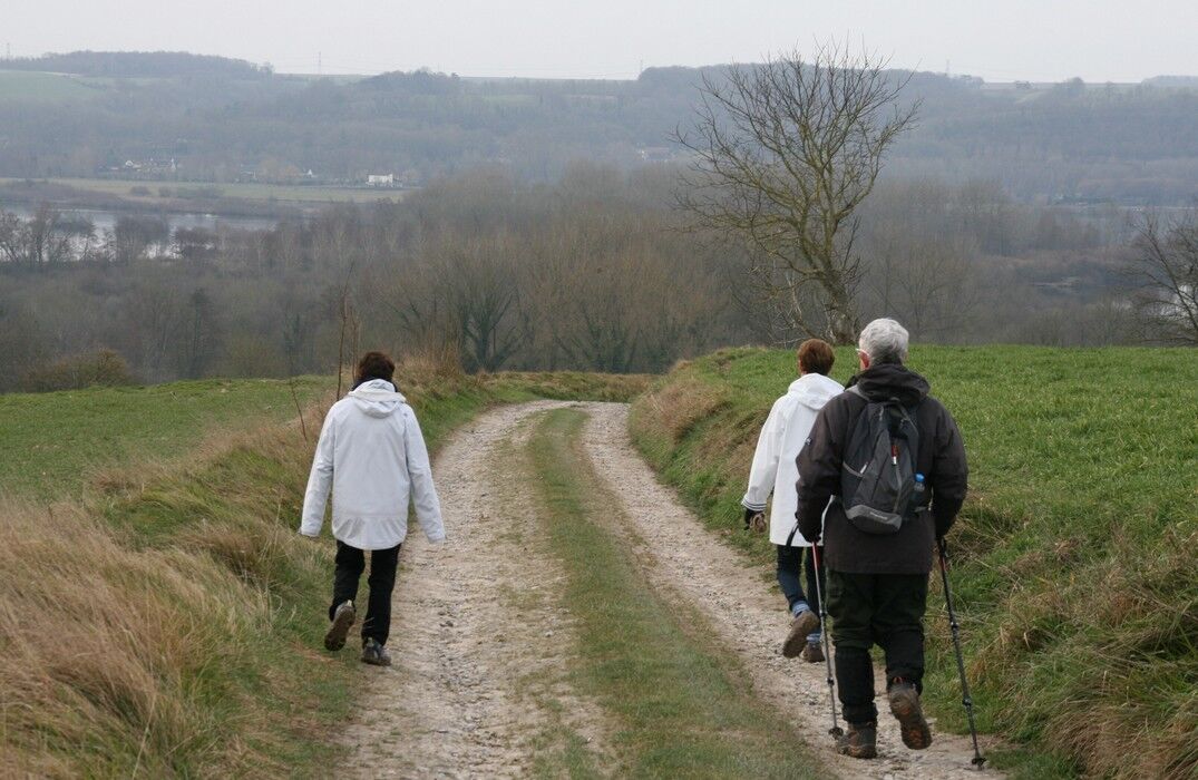
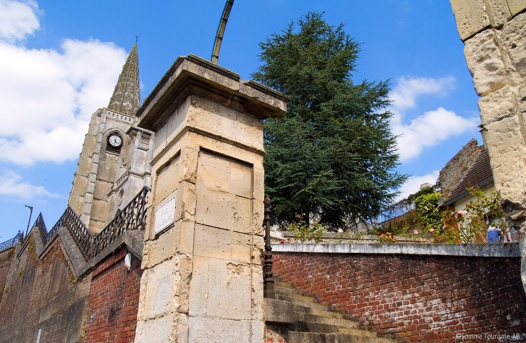
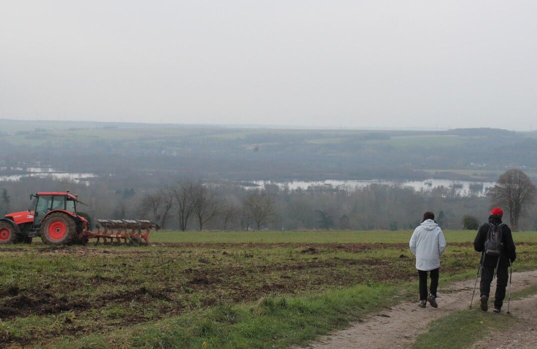
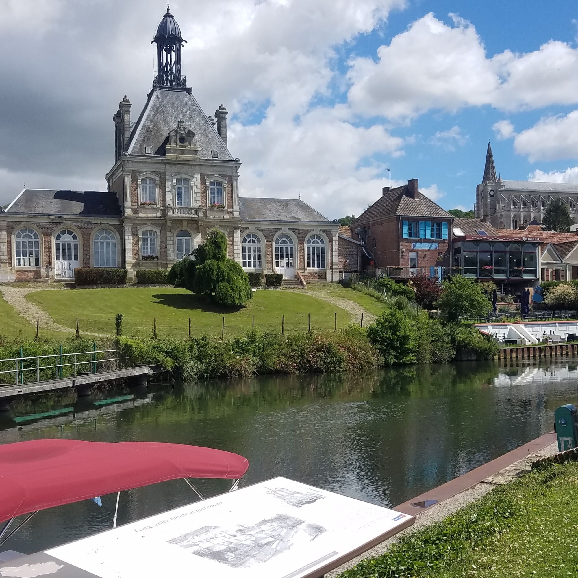
From the parking lot, head towards the center of Long, then pass near the town hall, topped with a curious bell tower dating from 1862. Although this name seems exaggerated for a village of just over 600 inhabitants, it reflects the prosperity the town experienced with peat and weaving. Take the church street and pass in front of the old boys' school. Climb to the heights of the village and follow the Longuet valley to enjoy a great panorama of the valley. Descend back into Cocquerel, which has a 16th-century stone church with a serrated bell tower and wooden cross. Further on, in the hamlet of Longuet, there is a 19th-century castle and the Saint-Julien chapel-church from the 18th century with an openwork bell tower. Follow the towpath to return to the starting point.


Popularne wycieczki w okolicy
-
5,0
The Ponthieu crossing
światłoWędrówka 28,2 km -
The Gard Abbey
światłoWędrówka 16,6 km -
The ponds and marshes of Mareuil-Caubert
światłoWędrówka 3,75 km -
The Marsh of Bouvaque
światłoWędrówka 2,13 km -
The Bienfay valley
światłoWędrówka 10,4 km -
The Abbevillois route
światłoDroga rowerowa 50,9 km -
Vimeu to Airaines greenway
światłoWędrówka 21,0 km -
Walk at the Cavins marsh
światłoWędrówka 3,13 km -
Watercourse circuit
światłoWędrówka 4,91 km -
Belloy - La Chaussée
światłoWędrówka 10,4 km
Wędrówki i tropienie


Nie przegap ofert i inspiracji na następne wakacje
Twój adres e-mail została dodana do listy mailingowej.





