







Chés Intailles (Loop B)
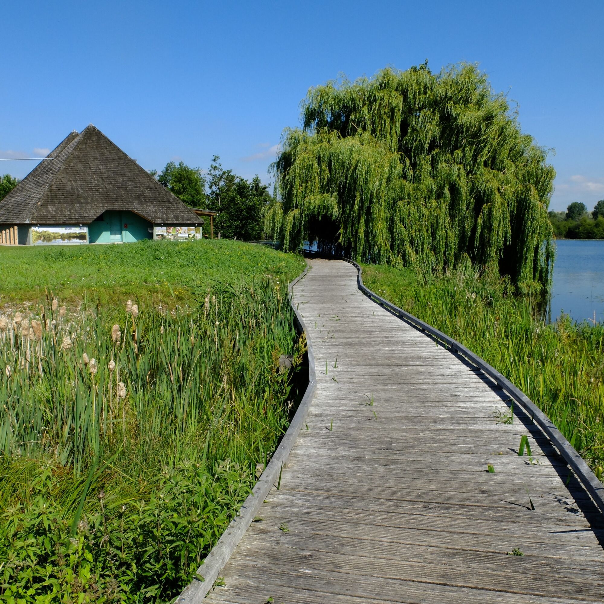
Discover the Somme Valley. It was once one of the highest peat extraction sites. Today, these are deep ponds with geometric shapes called “entailles” or “intailles” in Picard.From the Maison du Marais...
Discover the Somme Valley. It was once one of the highest peat extraction sites. Today, these are deep ponds with geometric shapes called “entailles” or “intailles” in Picard.
From the Maison du Marais in Longpré-les-Corps-Saints, head towards Liercourt, pass through Erondelle, and take the road to Eaucourt. Continue up to Long via Pont-Rémy. From there, take the direction of Villers-sous-Ailly and follow Bouchon. Return to the starting point passing through l’Étoile.


Popularne wycieczki w okolicy
-
5,0
The Ponthieu crossing
światłoWędrówka 28,2 km -
The ponds and marshes of Mareuil-Caubert
światłoWędrówka 3,75 km -
The Tufa Crosses: Ercourt - Franleu
światłoDroga rowerowa 55,9 km -
The Marsh of Bouvaque
światłoWędrówka 2,13 km -
The Bienfay valley
światłoWędrówka 10,4 km -
The Abbevillois route
światłoDroga rowerowa 50,9 km -
La Trie Enchantée
światłoWędrówka 12,3 km -
Vimeu to Airaines greenway
światłoWędrówka 21,0 km -
Walk at the Cavins marsh
światłoWędrówka 3,13 km -
Watercourse circuit
światłoWędrówka 4,91 km

Wędrówki i tropienie


Nie przegap ofert i inspiracji na następne wakacje
Twój adres e-mail została dodana do listy mailingowej.





