
Walk in Saint-Valery-sur-Somme
światło
Pobierz tę trasę na swój telefon komórkowy
Walk in Saint-Valery-sur-Somme
światło
Wędrówka
7,10
km
Zeskanuj kod QR i rozpocznij nawigację w aplikacji bergfex.


Wędrówki i tropienie





Walk in Saint-Valery-sur-Somme
światło
Odległość
7,10
km
Czas trwania
01:51
h
Ascent
70
hm
Poziom morza
5 -
37
m
Ścieżka do pobrania
Walk in Saint-Valery-sur-Somme
światło
Wędrówka
7,10
km
Stroll through this once thriving port, nestled in one of the most beautiful bays in the world, and discover the streets of a city with a rich past.Start from the new Tourist Office at the former salt...
Opis
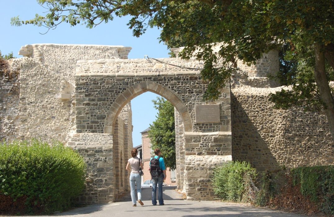
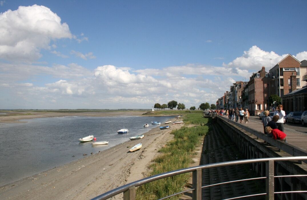
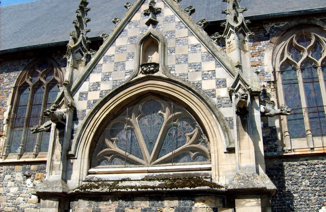
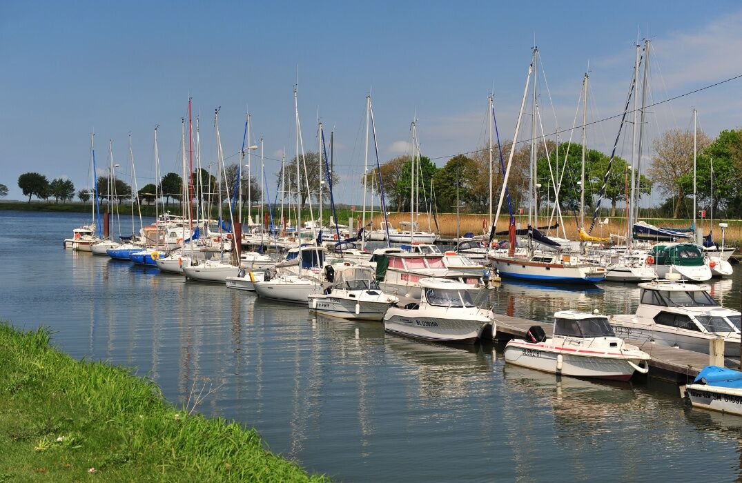
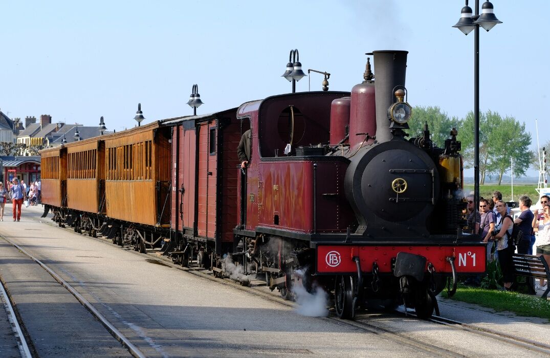
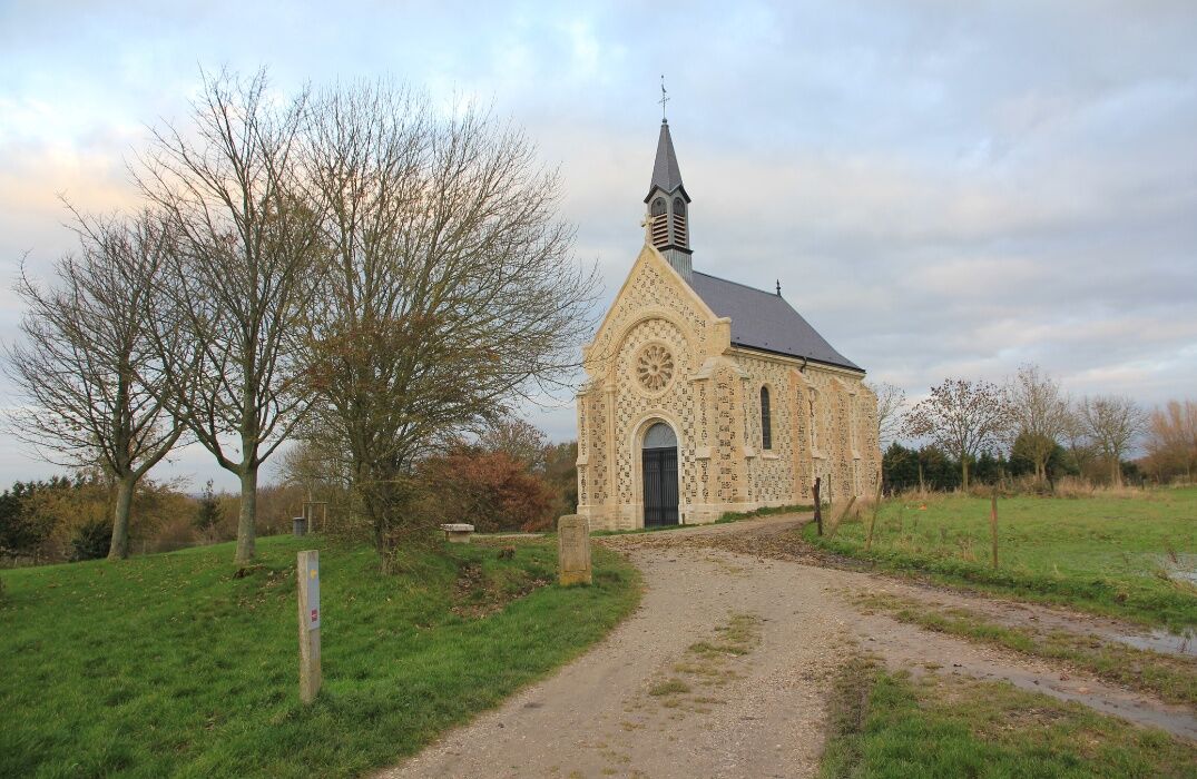
Stroll through this once thriving port, nestled in one of the most beautiful bays in the world, and discover the streets of a city with a rich past. Start from the new Tourist Office at the former salt warehouse. A stele commemorates the departure of William I, Duke of Normandy, to England in 1066. Continue along Lejoille quay. Wander along the marina and the Bay of Somme railway station. Climb up to the 1723 chapel then the Calvary path. This sailors' cross is next to the Courtgain chapel, named after the district with picturesque houses of former fishermen. Head towards the sailors' chapel, dedicated to Saint-Valery, dating from 1878, built with checkerboard stone and flint. Descend the winding path leading to the bay to enjoy a magnificent panorama. Follow the Cap Hornu causeway along the beach. In the upper town, stand the Guillaume towers. Take Jeanne d’Arc quay, who was taken from Compiègne to Rouen for her trial; Jeanne d’Arc passed through Saint-Valery in 1430. On the ramparts, Saint Martin church is next to the Nevers Gate. Continue along Admiral Courbet quay to the Pilots' Square. This great 19th-century sailor, originally from Abbeville, distinguished himself in battles in Tonkin. Continue on the wooden pier to return to the starting point.
Bay of Somme Railway Station in Saint-Valery is located 400m from the start point.
Bay of Somme Railway Station in Saint-Valery is located 400m from the start point.
Trasa
Saint-Valéry Port
(7 m)
Stacja kolejowa
0,1 km
Butte des Moulins
(32 m)
Szczyt
2,3 km
Saint-Valery-sur-Somme
(32 m)
Wioska
2,9 km
Chapelle des Marins
(38 m)
Miejsce kultu
4,1 km
Trasa
Walk in Saint-Valery-sur-Somme
światło
Wędrówka
7,10
km
Saint-Valéry Port
(7 m)
Stacja kolejowa
0,1 km
Saint-Valery-sur-Somme Ville
(7 m)
Stacja kolejowa
0,5 km
Butte des Moulins
(32 m)
Szczyt
2,3 km
Saint-Valery-sur-Somme
(32 m)
Wioska
2,9 km
Chapelle des Marins
(38 m)
Miejsce kultu
4,1 km
Autor
Dostarczone przez Somme Tourisme
Wycieczkę Walk in Saint-Valery-sur-Somme zapewnia outdooractive.com.


Dodatkowe informacje i wskazówki
Dodatkowe informacje
Nie ma jeszcze recenzji
Popularne wycieczki w okolicy
La Vélomaritime® - EuroVelo4 - From Fort Mahon to Mers les Bains
światłoMountainbike 80,0 kmCircuit vélo – Gravelot
średniJazda na rowerze 36,8 kmThe Baie de Somme coastal path
światłoWędrówka 51,3 kmThe Hâble d'Ault Bird Reserve
światłoWędrówka 6,05 kmFrom Abbeville to Saint-Valery-sur-Somme in the Somme Valley
światłoWędrówka 16,2 kmLes Crocs - around the Marquenterre
światłoWędrówka 15,8 kmCircuit vélo – Tour de Baie
światłoJazda na rowerze 30,6 kmThe Tufa Crosses: Ercourt - Franleu
światłoDroga rowerowa 55,9 kmThe Vélomaritime® - EuroVelo4 - Le Tréport -> Cayeux-sur-Mer
światłoMountainbike 22,5 kmMésange Circuit
światłoDroga rowerowa 38,4 km
Wędrówki i tropienie

Ponad 550.000 propozycji wycieczek, szczegółowe mapy i intuicyjny planer tras sprawiają, że aplikacja jest niezbędna dla wszystkich entuzjastów przyrody.

Nie przegap ofert i inspiracji na następne wakacje
Zapisz się do newslettera
Błąd
Wystąpił błąd. Spróbuj ponownie.Dziękujemy za rejestrację
Twój adres e-mail została dodana do listy mailingowej.
Wycieczki po całej Europie
Austria Szwajcaria Niemcy Włochy Słowenię Francja Holandia Belgia Polska Liechtenstein Czechy Słowacja Hiszpania Chorwacja Bośnia i Hercegowina Luksemburg Andorra Portugalia Islandia Wielka Brytania Irlandia Grecja Albania Macedonia Północna Malta Norwegia Czarnogóra Mołdawia Kosowo Węgry San Marino Rumunia Estonia Łotwa Białoruś Cypr Litwa Serbia Bułgaria Monako Dania Szwecja Finlandia





