
La Vélomaritime® - EuroVelo4 - From Fort Mahon to Mers les Bains
światło
Pobierz tę trasę na swój telefon komórkowy
La Vélomaritime® - EuroVelo4 - From Fort Mahon to Mers les Bains
światło
Mountainbike
79,99
km
Zeskanuj kod QR i rozpocznij nawigację w aplikacji bergfex.


Wędrówki i tropienie





La Vélomaritime® - EuroVelo4 - From Fort Mahon to Mers les Bains
światło
Odległość
80,0
km
Czas trwania
04:04
h
Ascent
139
hm
Poziom morza
3 -
96
m
Ścieżka do pobrania
La Vélomaritime® - EuroVelo4 - From Fort Mahon to Mers les Bains
światło
Mountainbike
79,99
km
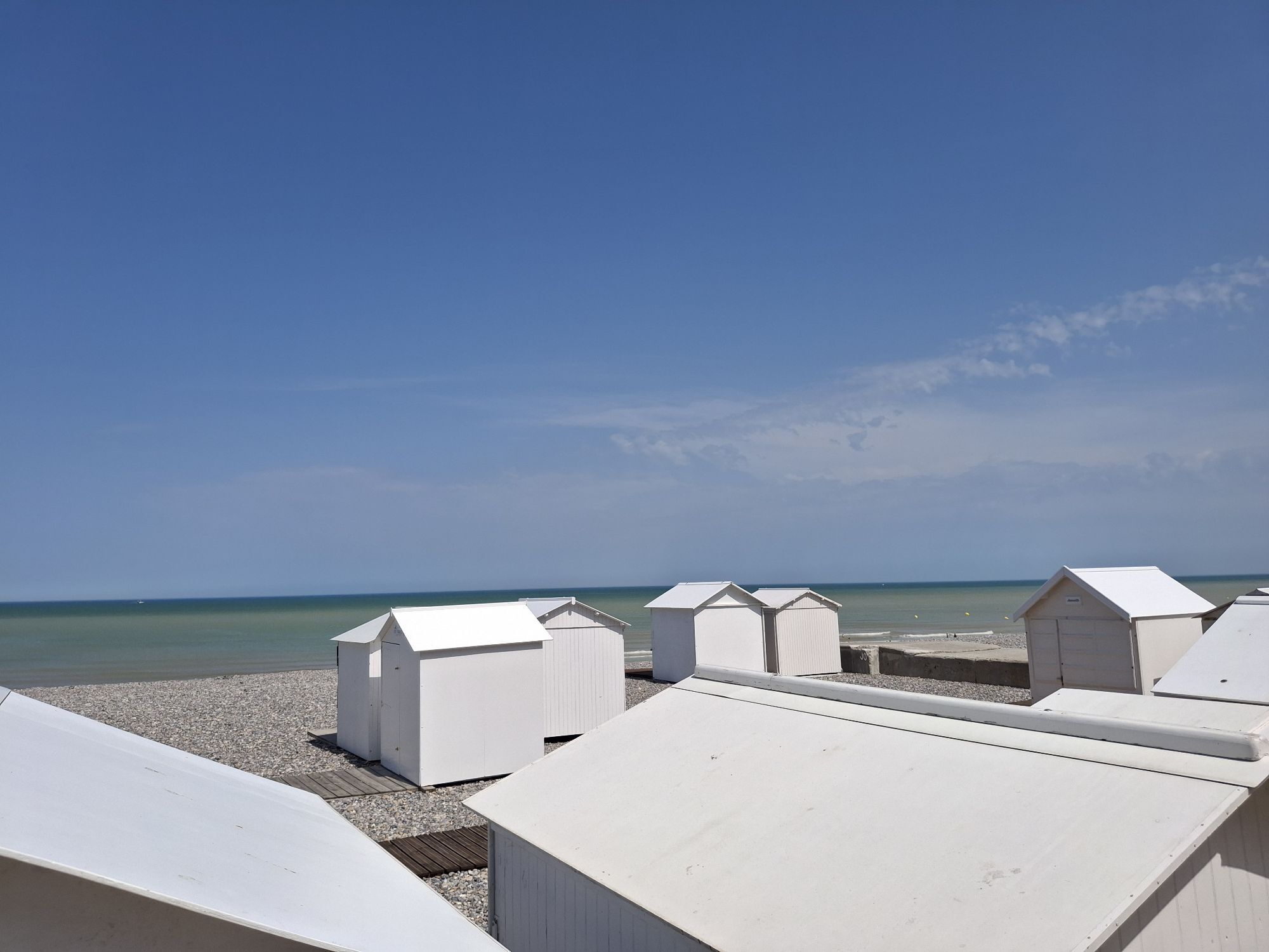
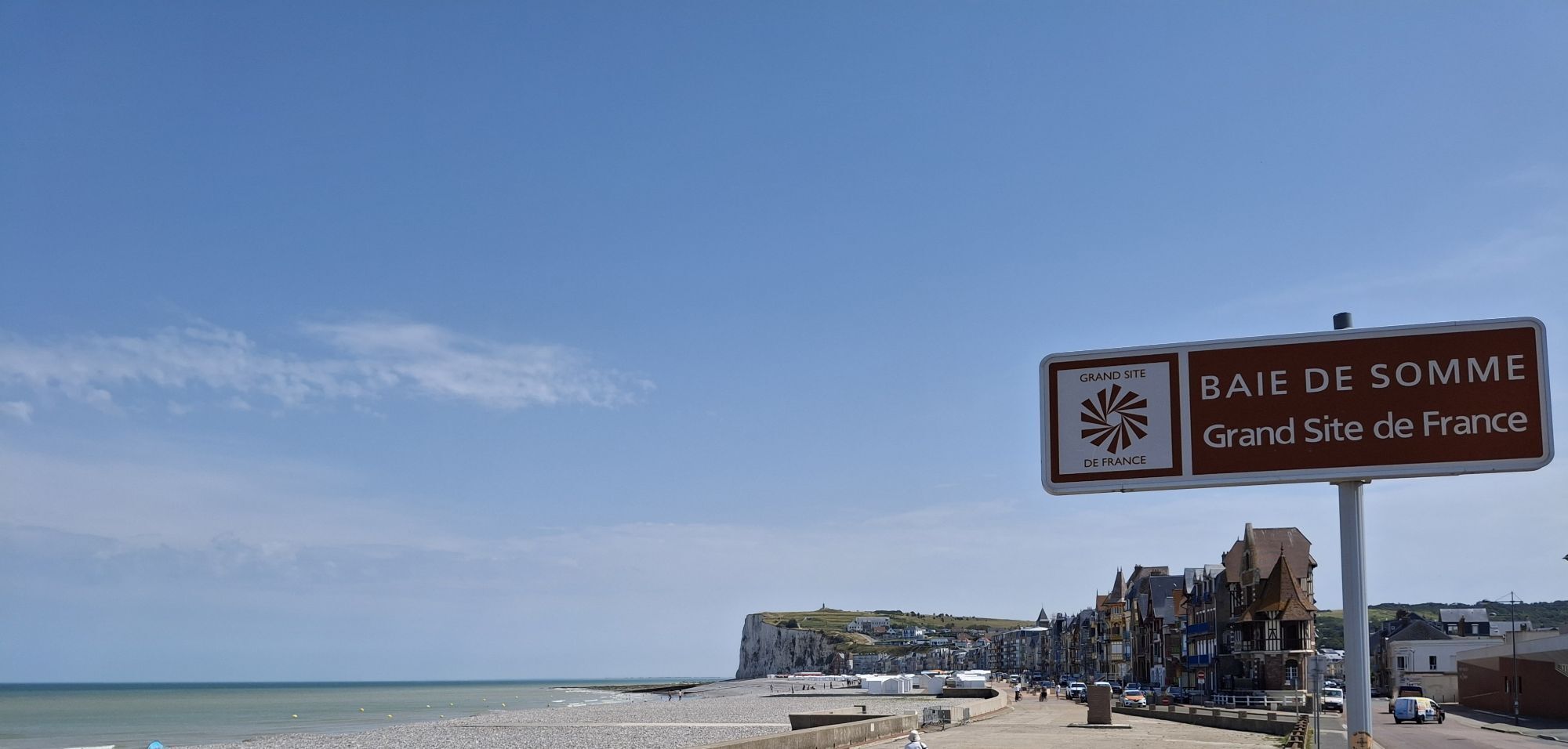
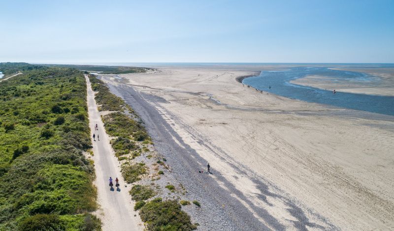
The proposed route allows you to follow the Somme coastline as closely as possible by following La Vélomaritime® - EuroVélo 4. It is a European route that continues into Pas-de-Calais and Seine-Maritime.The...
Opis
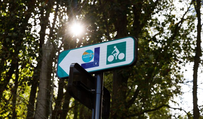
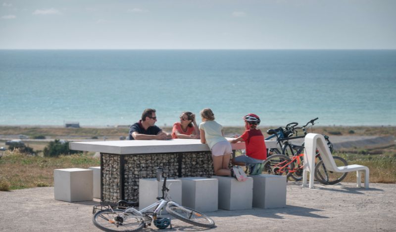
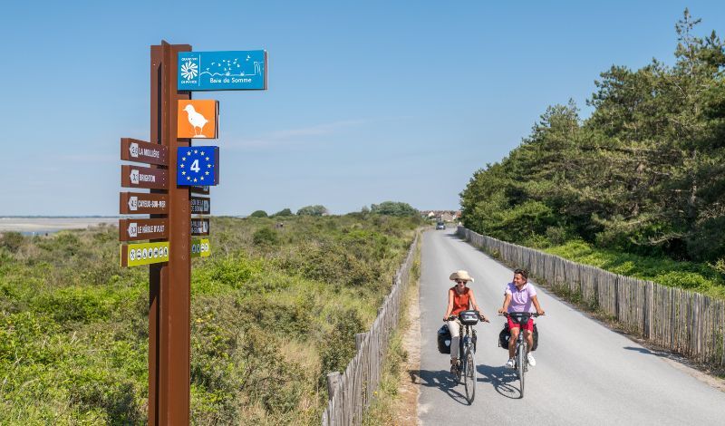
The proposed route allows you to follow the Somme coastline as closely as possible by following La Vélomaritime® - EuroVélo 4. It is a European route that continues into Pas-de-Calais and Seine-Maritime. The entire route, called La Vélomaritime in France, connects Dunkirk and Roscoff. Continuity is ensured by identical signage throughout the route but the facilities vary: bike lanes, bike strips, greenways and shared roads. Each department, each community works to improve and maintain the route.
New in 2023 in the Somme: opening of 2 cycling sections: 5.8 km of bike lanes between Fort-Mahon and Pont à Cailloux towards Berck-sur-Mer. 3 km of bike lanes between Saint-Firmin-le-Crotoy and the entrance to the Marquenterre Park.
Tréport - Mers-les-Bains station located 140m from the vélomaritime in Mers-les-Bains. Along the route are the stations of Rue, Le Crotoy, Noyelles-sur-Mer, Saint-Valery-sur-Somme and Cayeux-sur-Mer.
New in 2023 in the Somme: opening of 2 cycling sections: 5.8 km of bike lanes between Fort-Mahon and Pont à Cailloux towards Berck-sur-Mer. 3 km of bike lanes between Saint-Firmin-le-Crotoy and the entrance to the Marquenterre Park.
Tréport - Mers-les-Bains station located 140m from the vélomaritime in Mers-les-Bains. Along the route are the stations of Rue, Le Crotoy, Noyelles-sur-Mer, Saint-Valery-sur-Somme and Cayeux-sur-Mer.
Trasa
Chapelle Notre-Dame des Pins
(16 m)
Miejsce kultu
9,4 km
Monchaux
(6 m)
Rozliczenie
12,6 km
Saint-Firmin
(7 m)
Rozliczenie
24,9 km
Le Mont Blanc
(30 m)
Szczyt
42,9 km
Le Hourdel
(8 m)
Rozliczenie
51,1 km
Église Saint-Martin
(25 m)
Miejsce kultu
78,1 km
Mers-les-Bains
(5 m)
Wioska
78,3 km
Trasa
La Vélomaritime® - EuroVelo4 - From Fort Mahon to Mers les Bains
światło
Mountainbike
79,99
km
Le Pont À Cailloux
(6 m)
Rozliczenie
0,3 km
Fort-Mahon-Plage
(10 m)
Wioska
6,5 km
Chapelle Notre-Dame des Pins
(16 m)
Miejsce kultu
9,4 km
Le Bois Dormant
(11 m)
Restauracja
10,2 km
Anantaya Thaï Food
(10 m)
Restauracja
11,3 km
Monchaux
(6 m)
Rozliczenie
12,6 km
La Garinière
(8 m)
Restauracja
20,0 km
Le Bout des Crocs
(6 m)
Rozliczenie
21,5 km
Au Relais de La Maye
(7 m)
Restauracja
24,8 km
Saint-Firmin
(7 m)
Rozliczenie
24,9 km
La Bassée
(6 m)
Rozliczenie
26,1 km
Le Moulin
(4 m)
Restauracja
41,4 km
Le Mont Blanc
(30 m)
Szczyt
42,9 km
Le Parc Aux Huitres
(8 m)
Restauracja
51,0 km
Hôtel Restaurant Le Parc aux Huîtres
(8 m)
Restauracja
51,0 km
Le Hourdel
(8 m)
Rozliczenie
51,1 km
La Pointe du Hourdel
(8 m)
Restauracja
51,2 km
Cayeux-sur-Mer
(8 m)
Wioska
58,0 km
Hautebut
(8 m)
Rozliczenie
66,4 km
Église Saint-Martin
(25 m)
Miejsce kultu
78,1 km
Mers-les-Bains
(5 m)
Wioska
78,3 km
Le Tréport – Mers-les-Bains
(8 m)
Stacja kolejowa
79,7 km
Le Tréport
(6 m)
Wioska
79,9 km
Autor
Dostarczone przez Somme Tourisme
Wycieczkę La Vélomaritime® - EuroVelo4 - From Fort Mahon to Mers les Bains zapewnia outdooractive.com.

Ostatnio śledzony
2 tygodnie temu

Dodatkowe informacje i wskazówki
Dodatkowe informacje
Wskazówki
Nie ma jeszcze recenzji
Popularne wycieczki w okolicy
-
Circuit vélo – Gravelot
średniJazda na rowerze 36,8 km -
The Baie de Somme coastal path
światłoWędrówka 51,3 km -
The Hâble d'Ault Bird Reserve
światłoWędrówka 6,05 km -
From Abbeville to Saint-Valery-sur-Somme in the Somme Valley
światłoWędrówka 16,2 km -
Les Crocs - around the Marquenterre
światłoWędrówka 15,8 km -
Circuit vélo – Tour de Baie
światłoJazda na rowerze 30,6 km -
The Tufa Crosses: Ercourt - Franleu
światłoDroga rowerowa 55,9 km -
Walk in Saint-Valery-sur-Somme
światłoWędrówka 7,10 km -
Mésange Circuit
światłoDroga rowerowa 38,4 km -
La Trie Enchantée
światłoWędrówka 12,3 km
Wędrówki i tropienie

Ponad 550.000 propozycji wycieczek, szczegółowe mapy i intuicyjny planer tras sprawiają, że aplikacja jest niezbędna dla wszystkich entuzjastów przyrody.

Nie przegap ofert i inspiracji na następne wakacje
Zapisz się do newslettera
Błąd
Wystąpił błąd. Spróbuj ponownie.
Dziękujemy za rejestrację
Twój adres e-mail została dodana do listy mailingowej.
Wycieczki po całej Europie
Austria
Szwajcaria
Niemcy
Włochy
Słowenię
Francja
Holandia
Belgia
Polska
Liechtenstein
Czechy
Słowacja
Hiszpania
Chorwacja
Bośnia i Hercegowina
Luksemburg
Andorra
Portugalia
Islandia
Wielka Brytania
Irlandia
Grecja
Albania
Macedonia Północna
Malta
Norwegia
Czarnogóra
Mołdawia
Kosowo
Węgry
San Marino
Rumunia
Estonia
Łotwa
Białoruś
Cypr
Litwa
Serbia
Bułgaria
Monako
Dania
Szwecja
Finlandia





