







To the Schlüechtli in Tenna/Safiental
Poziom trudności: PD-
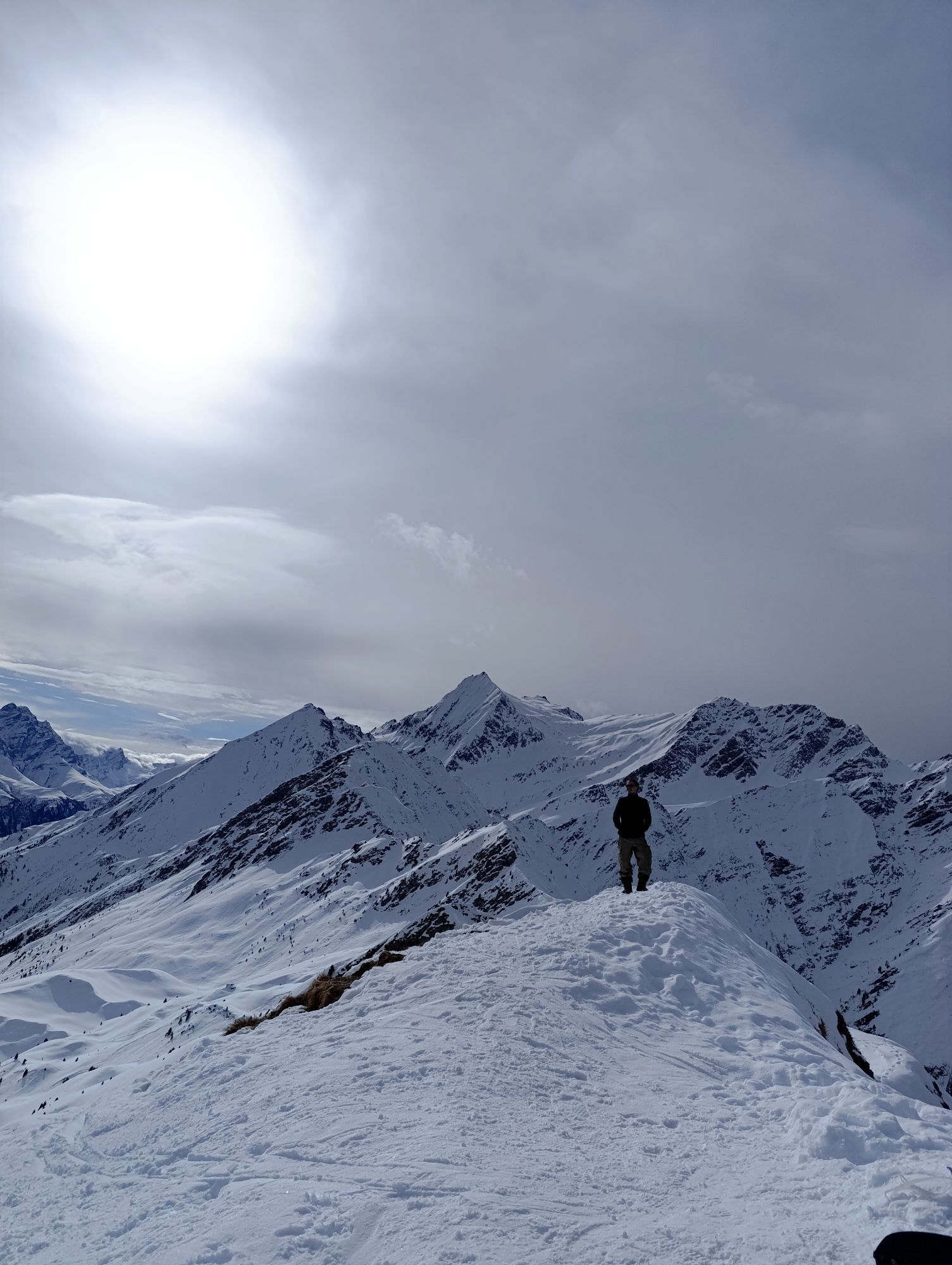
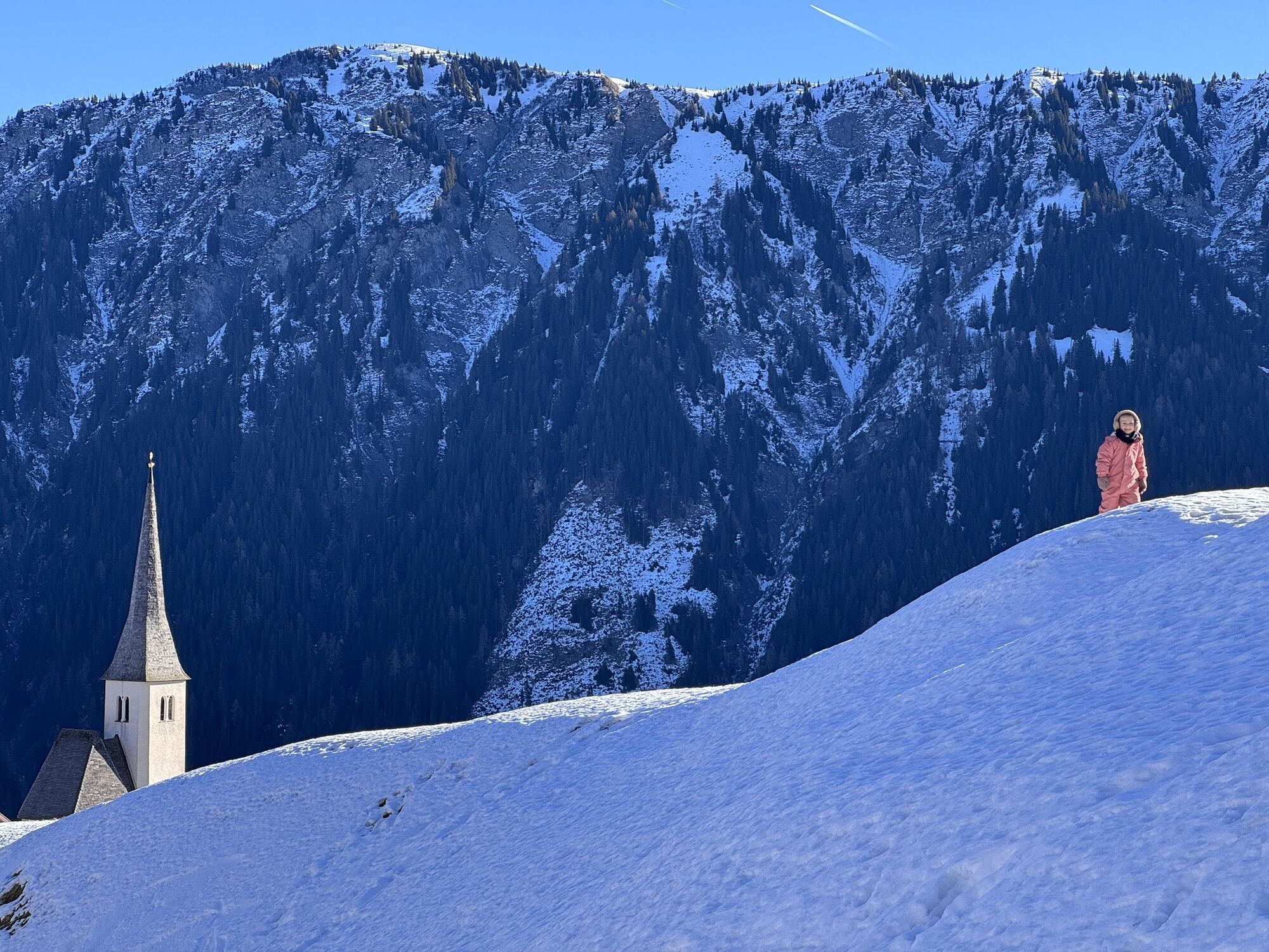
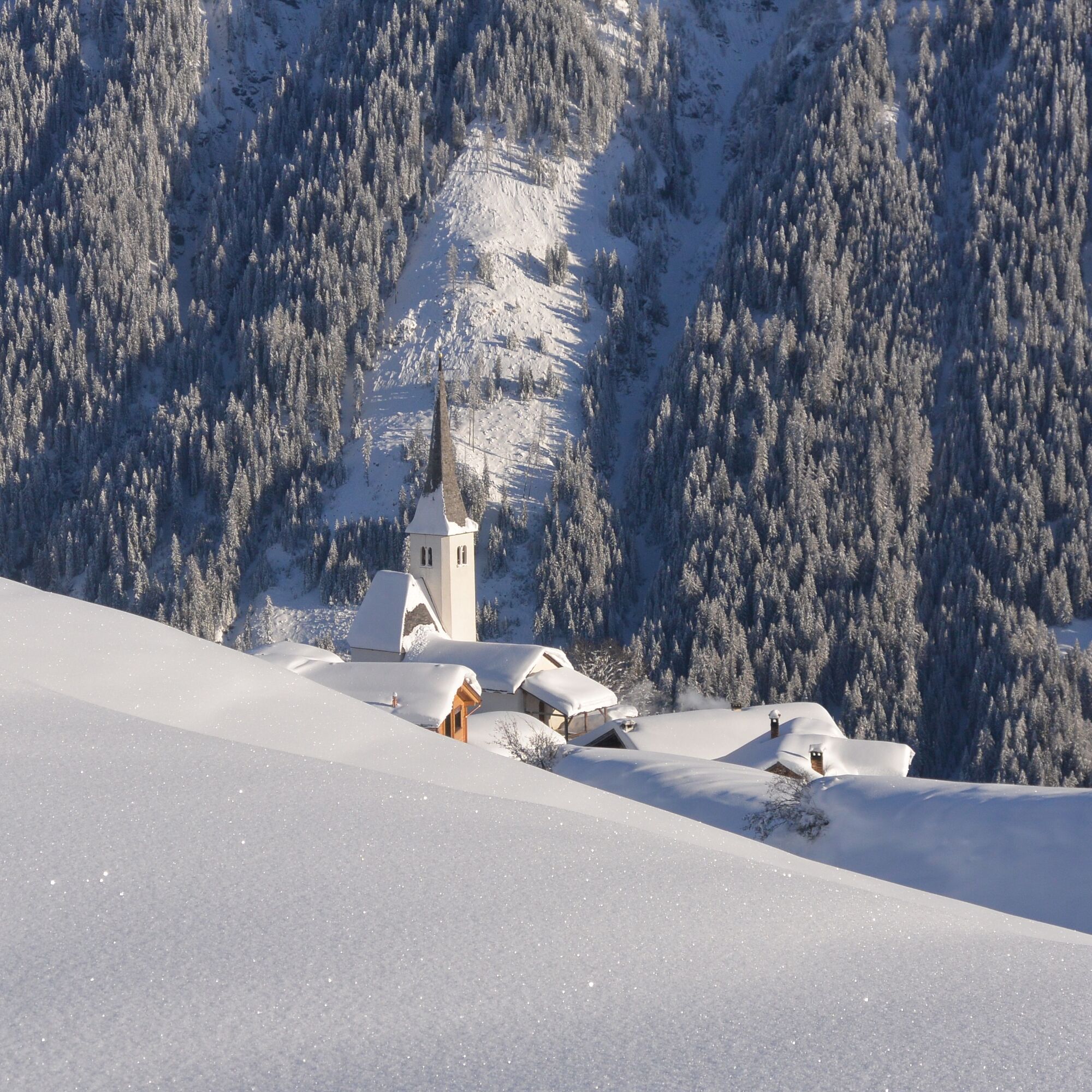
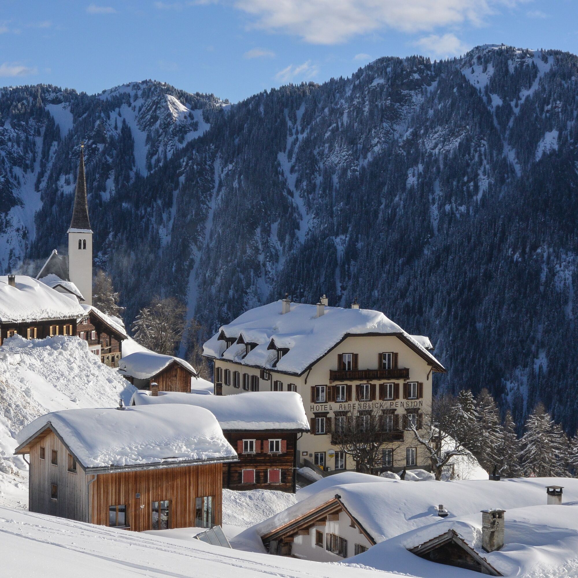
Start directly in Tenna Mitte or at the church. Via the Boda and further up to the Tenner Alp is just right for the first sip of tea. Now take the slope west of the Tenner Alp (Bleichtaboda) and climb...
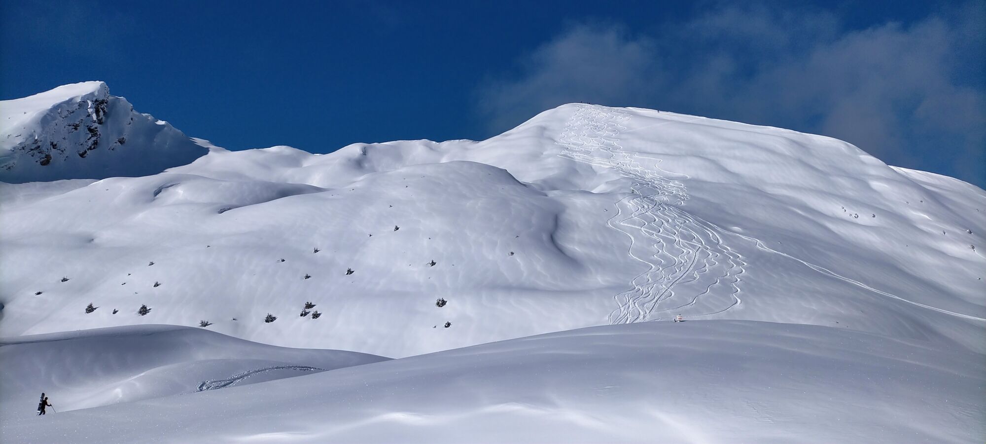
Start directly in Tenna Mitte or at the church. Via the Boda and further up to the Tenner Alp is just right for the first sip of tea. Now take the slope west of the Tenner Alp (Bleichtaboda) and climb through the wide valley up to the Stelliseeli. It is, of course, far beneath the snow cover and only noticeable by the well-visible deep hollow. Now comes the steep final slope to the summit, which requires a good route choice under demanding conditions.
The summit surprises with an incredible view from Prättigau to the Furkahorns. The descent runs via the exit route and impresses with many beautiful ski slopes.
Under safe conditions, descent can be made from Stelli via Bödem. Please definitely take the (unfortunately hardly visible) forest gap, which leads a bit south to the Allmeinihütte. Now you arrive at the solar ski lift in Tenna Ausserberg.

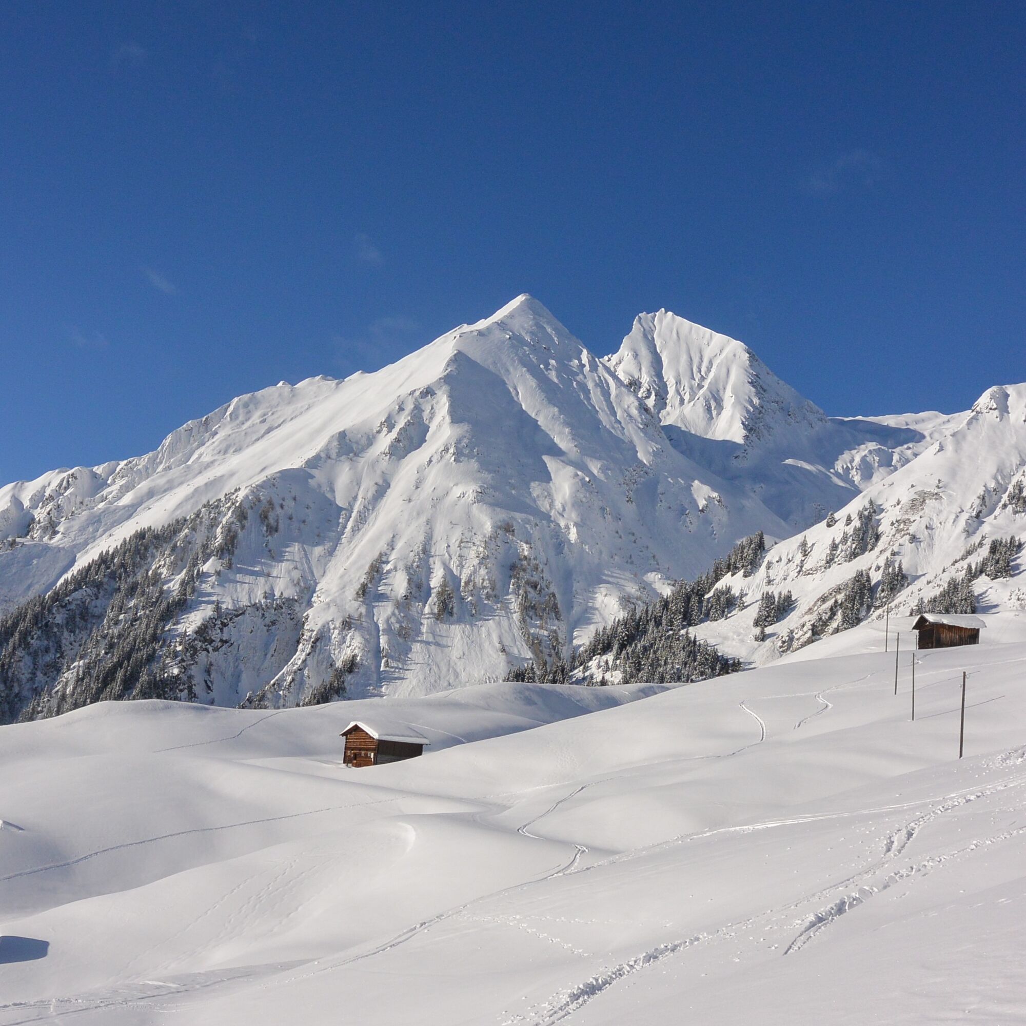
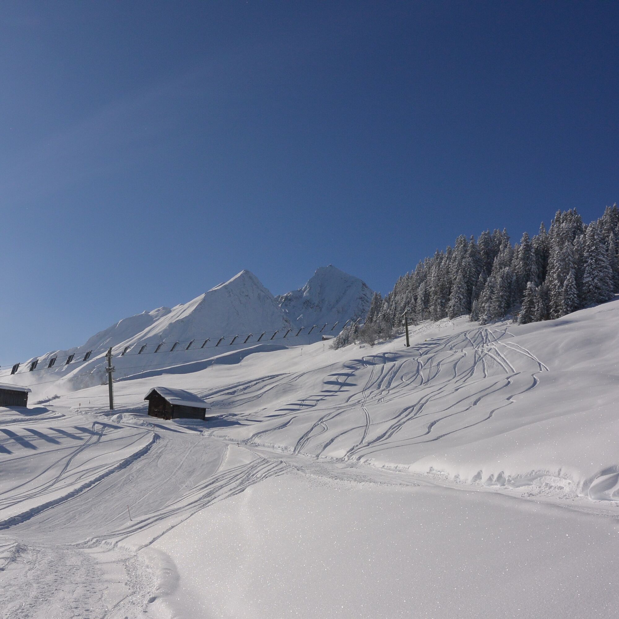


Tenna Mitte or church - Boda - Bleichta Boda - Stelli - Schlüechtli - descent via ascent route or described variant
Tak
Tak
See safety instructions
Ski and snowshoe routes in unsecured terrain require good knowledge in assessing avalanche danger and tour planning. Further, a complete safety equipment must always be carried - regardless of current avalanche danger.
We recommend using the APP and website of WhiteRisk for preparation and tour planning.
For carefree enjoyment, we recommend our mountain and snowshoe hiking guides of the Surselva.
Arrival from Chur: On the A13 towards Thusis, exit Bonaduz. From Bonaduz to Versam and then to Tenna.
Take the train to Versam-Safien station. Then take the bus via Versam village to Tenna, Post. Usually with a transfer at the Tenna junction.
Few parking spaces near the church. More parking spaces about 100 m further at the workshop yard.
PD-
Visit the terrace at the Pistenbeizli in Tenna and watch the charming hustle and bustle at the ski lift.
Visit the Hotel and Restaurant Alpenblick in Tenna
Uzyskaj wgląd
Zawsze na żywo z ponad 9 500 kamer internetowych. bergfex Jako użytkownik Pro, możesz teraz zobaczyć odpowiednie kamery internetowe dla wielu wycieczek w aplikacji wycieczki od. Pozwala to na bezpośredni podgląd aktualnych warunków.
Popularne wycieczki w okolicy
-
4,9
Rheinschlucht: From Ilanz to Versam into the heart of the Rheinschlucht
średniWędrówka 11,4 km -
4,4
4-lake hike: Caumasee - Crestasee - Felsbach Gorge
średniWędrówka 12,8 km -
4,8
Rhine Gorge Hike: Senda Ruinaulta (659)
światłoWędrówka 9,39 km -
4,8
Mountain hike to the Strudeltöpfe on Alp Mora: Bargis-Trin
ciężkiWędrówka 18 km -
4,7
The Water Trail: Trutg dil Flem 764
ciężkiTrasa tematyczna 8,56 km -
5,0
Caumasee tour: Flims - Caumasee - Conn - Flims
światłoWędrówka 7,94 km -
4,3
Historic Pinut via ferrata
średniVia ferrata 5,82 km -
5,0
Rhine Gorge Circular Hike
średniWędrówka 11,4 km -
4,3
Circular hike: Falera-Curnius-Alp Dadens-Falera
średniWędrówka 11,4 km -
5,0
Circular route: Lake Cauma - Rhine Gorge "Swiss Grand Canyon"
średniWędrówka 19,8 km
Wędrówki i tropienie


Nie przegap ofert i inspiracji na następne wakacje
Twój adres e-mail została dodana do listy mailingowej.





