


Zalöner Hütte in the Safien valley
Poziom trudności: WT2
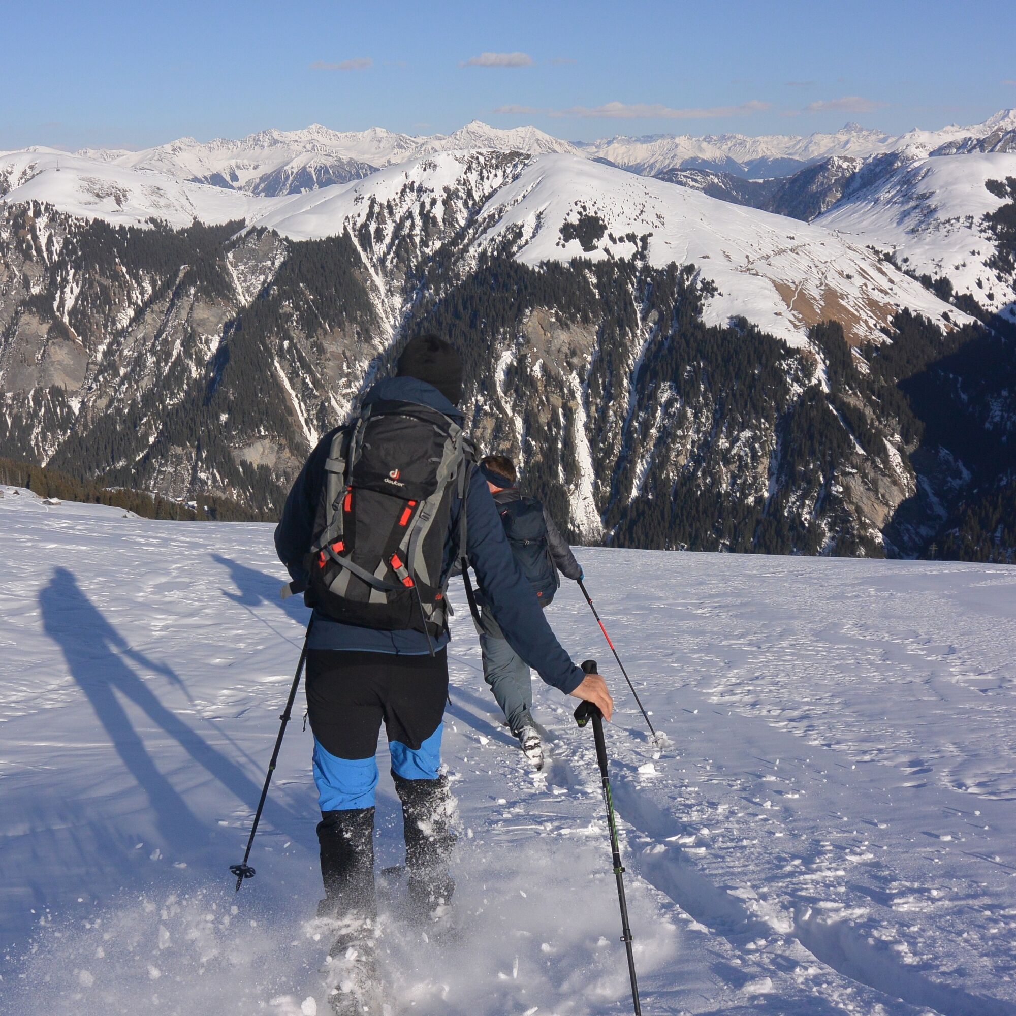
Start in Inner Zalön, a small and sun-drenched hamlet in the Safien valley. To warm up, it is best to start along the forest road to the stream at the Hüttatobel. Now leave the alpine road and ascend continuously...
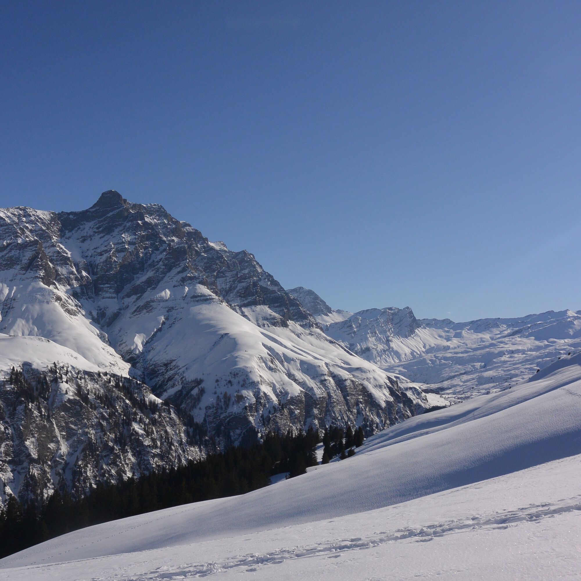
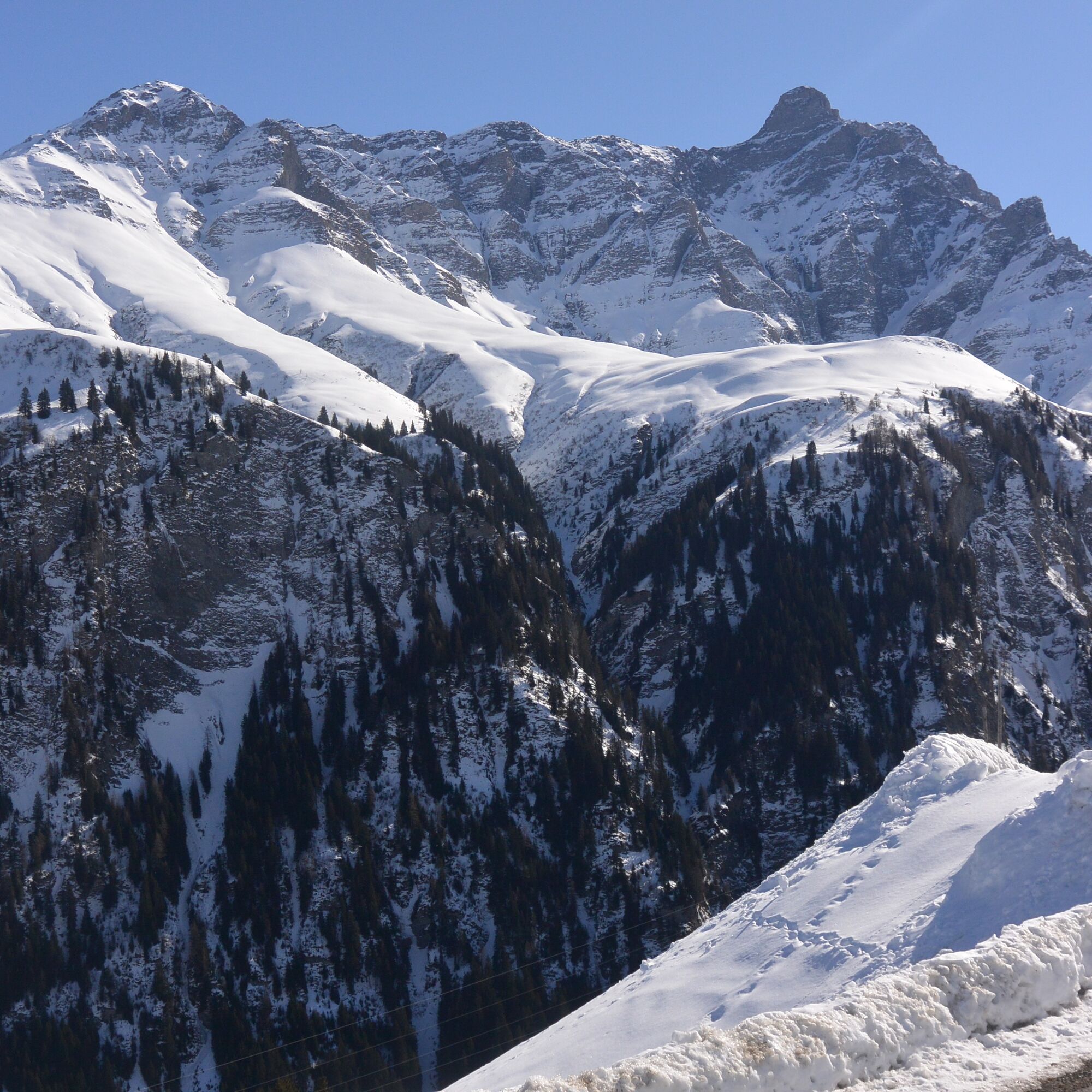
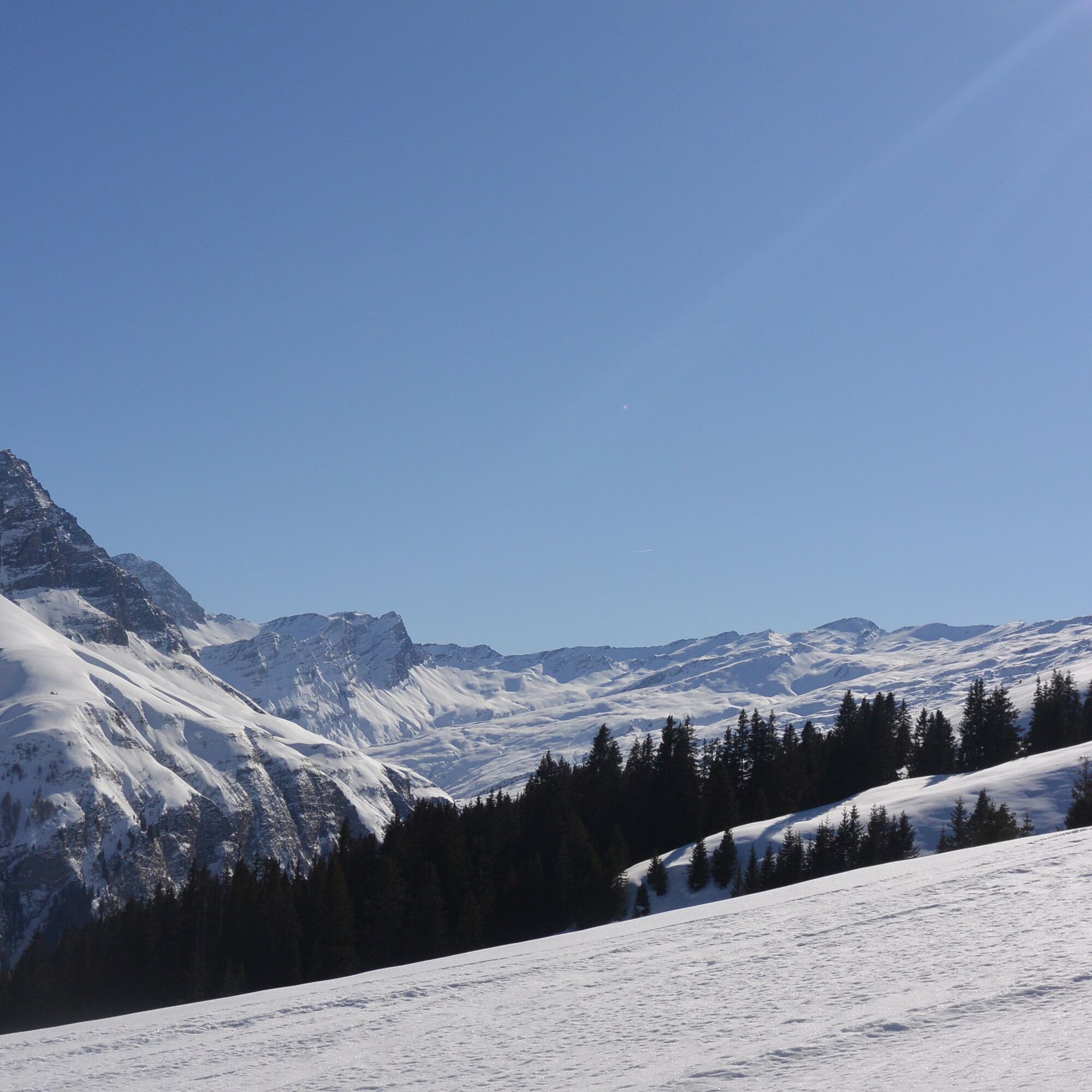
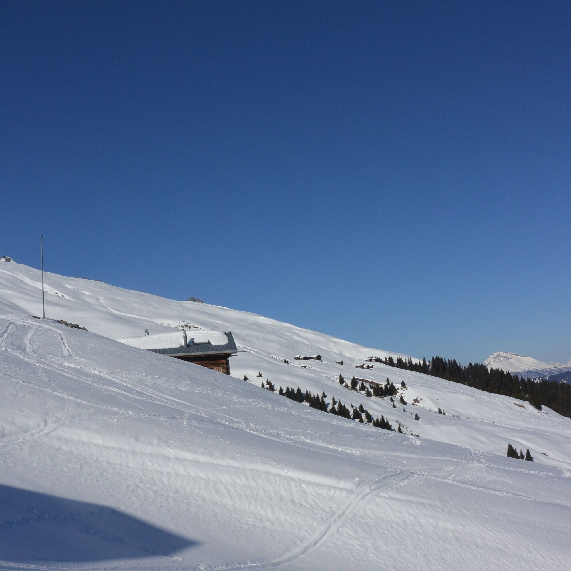
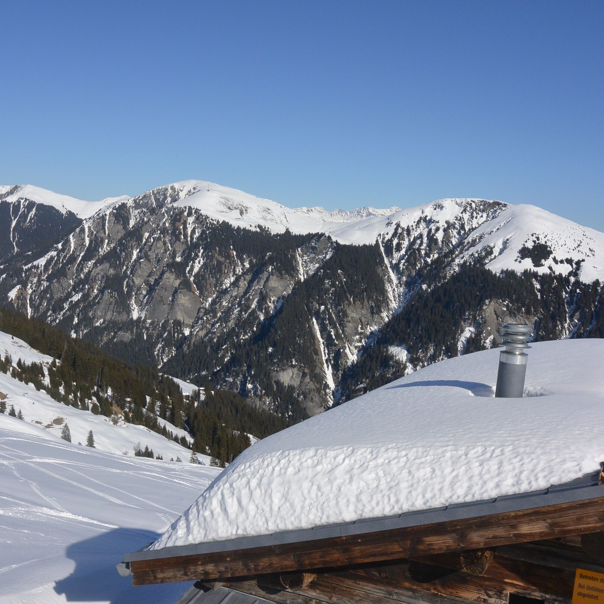
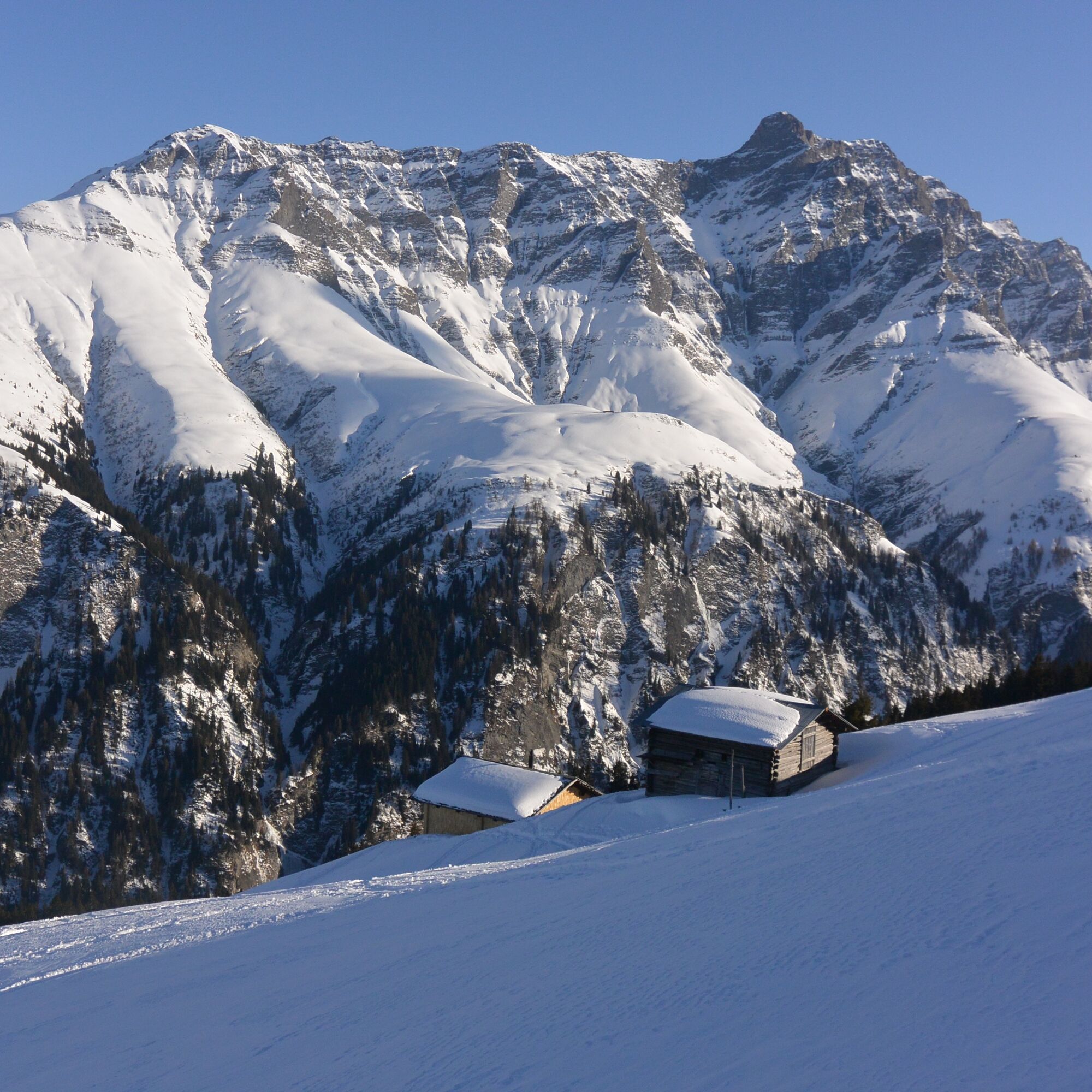
Start in Inner Zalön, a small and sun-drenched hamlet in the Safien valley. To warm up, it is best to start along the forest road to the stream at the Hüttatobel. Now leave the alpine road and ascend continuously over beautiful alpine meadows. The views to the opposite Piz Beverin and the other mighty peaks of the Safien valley become increasingly beautiful. At the Zalöner huts, you can choose a currently uninhabited hut and enjoy the well-deserved break. Of course, take your waste with you.
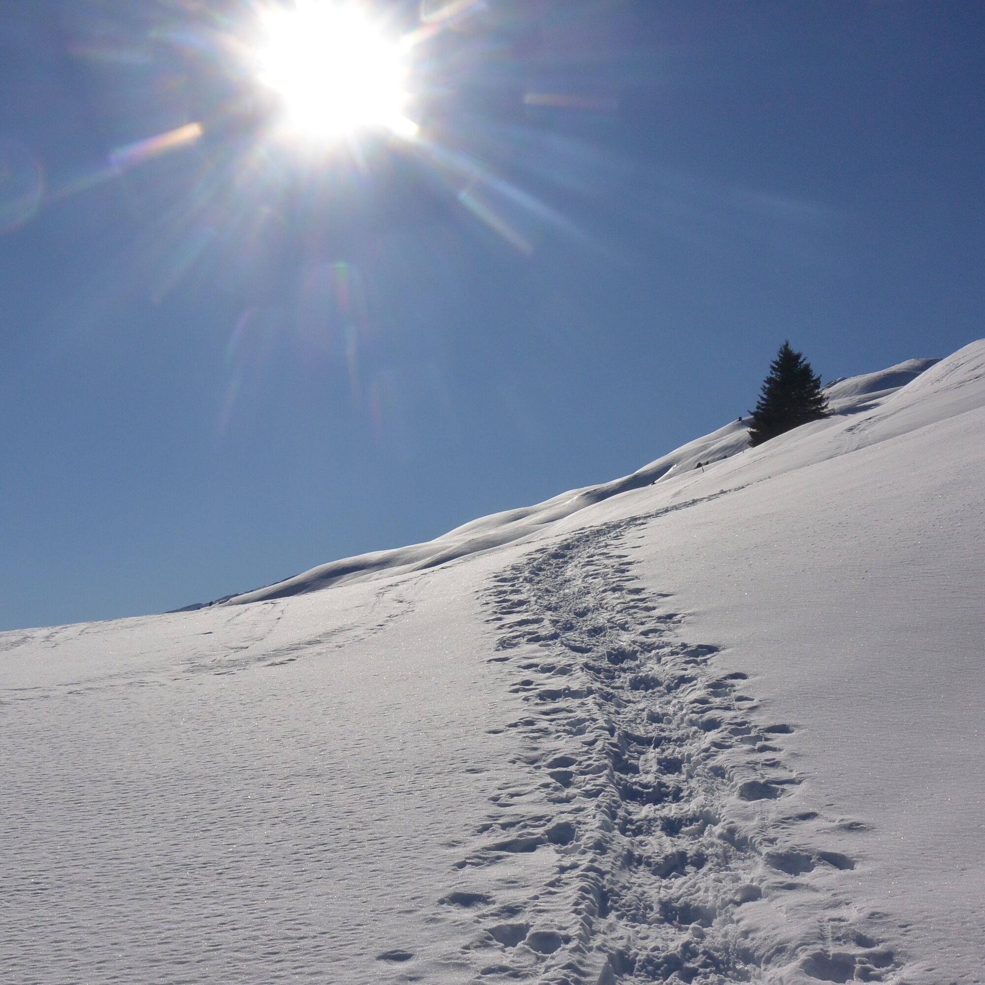
The descent can be chosen freely. If avalanche danger is increased, you should not descend too much towards the valley, as there are always steeper slopes there. At the end, it is easiest to jump straight down to the starting point.

Safien Inner Zalön - Hüttatobel - Zalönder Hütte - back on a similar path
See safety instructions
Ski and snowshoe tours in unsecured terrain require good knowledge in assessing avalanche danger and tour planning. Furthermore, a complete safety equipment must always be carried - regardless of the current avalanche danger.
We recommend using the app and website of WhiteRisk for preparation and planning of the route.
For worry-free enjoyment, we recommend our mountain guides and snowshoe hiking leaders of the Surselva.
From Versam along the valley road to Safien Platz. Here take the turnoff to Zalön.
There is no postal bus line to the starting point described here. Alternatively, you can start the route already in Safien Platz. Regular postal buses run here from Versam/Safien.
In front of the first houses of Inner Zalön, on the right side of the road, above a larger stable, a spot is cleared of snow.
WT2
Rental of snowshoe equipment at the Gasslihof in Thalkirch.
Shopping at the self-service shop "Spensa" in Safien Platz. Everything is available from sheepskin, honey, good pieces of meat to pottery or leather goods.
The route can be started from Safien Platz under good conditions. About 300 meters of altitude gain are added.
If the avalanche conditions are very good, an ascent is also possible on the southwestern side of the Hüttentobel between Inner Zalön and the Zalöner huts. The upper crossing has very steep side slopes.
Popularne wycieczki w okolicy
-
4,4
4-lake hike: Caumasee - Crestasee - Felsbach Gorge
średniWędrówka 12,8 km -
4,8
Rheinschlucht: From Ilanz to Versam into the heart of the Rheinschlucht
średniWędrówka 11,4 km -
4,8
Rhine Gorge Hike: Senda Ruinaulta (659)
światłoWędrówka 9,39 km -
5,0
Caumasee tour: Flims - Caumasee - Conn - Flims
światłoWędrówka 7,94 km -
4,3
Circular hike: Falera-Curnius-Alp Dadens-Falera
średniWędrówka 11,4 km -
5,0
Rhine Gorge Circular Hike
średniWędrówka 11,4 km -
5,0
Circular route: Lake Cauma - Rhine Gorge "Swiss Grand Canyon"
średniWędrówka 19,8 km -
5,0
Hiking route Suspension Bridge Val da Tersnaus
średniWędrówka 3,24 km -
Piz Fess 2880m, the proud one
ciężkiWędrówka 12,8 km -
4,7
Dutjer Alp - magnificent view
średniWędrówka 8,23 km
Wędrówki i tropienie


Nie przegap ofert i inspiracji na następne wakacje
Twój adres e-mail została dodana do listy mailingowej.