


Snowshoe trail No 545 Grauberg


Zdjęcia naszych użytkowników
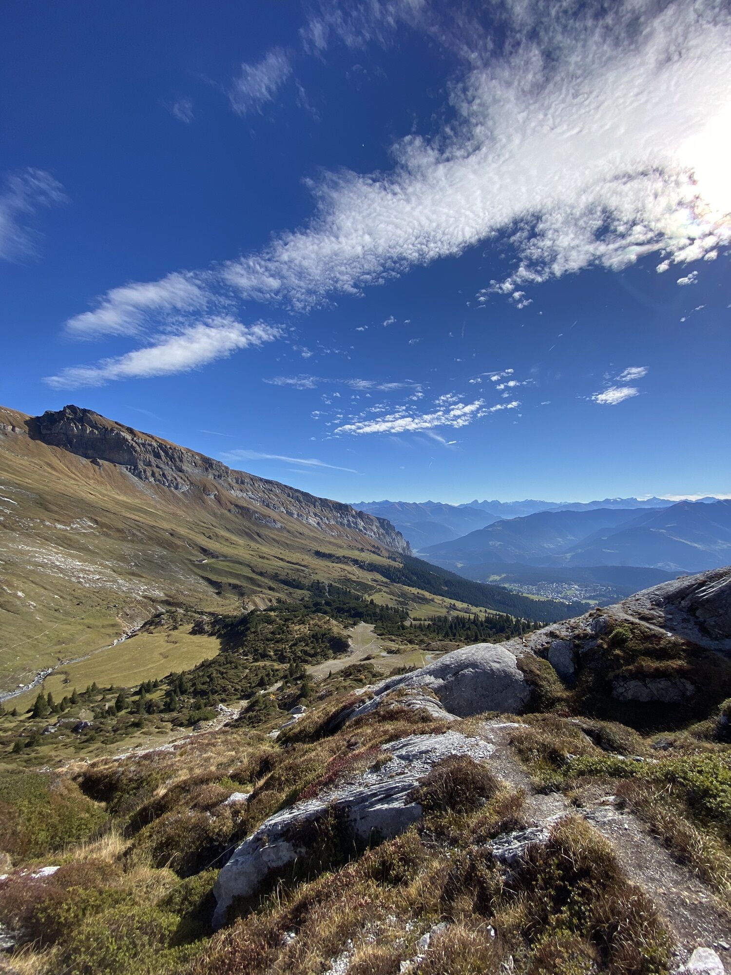
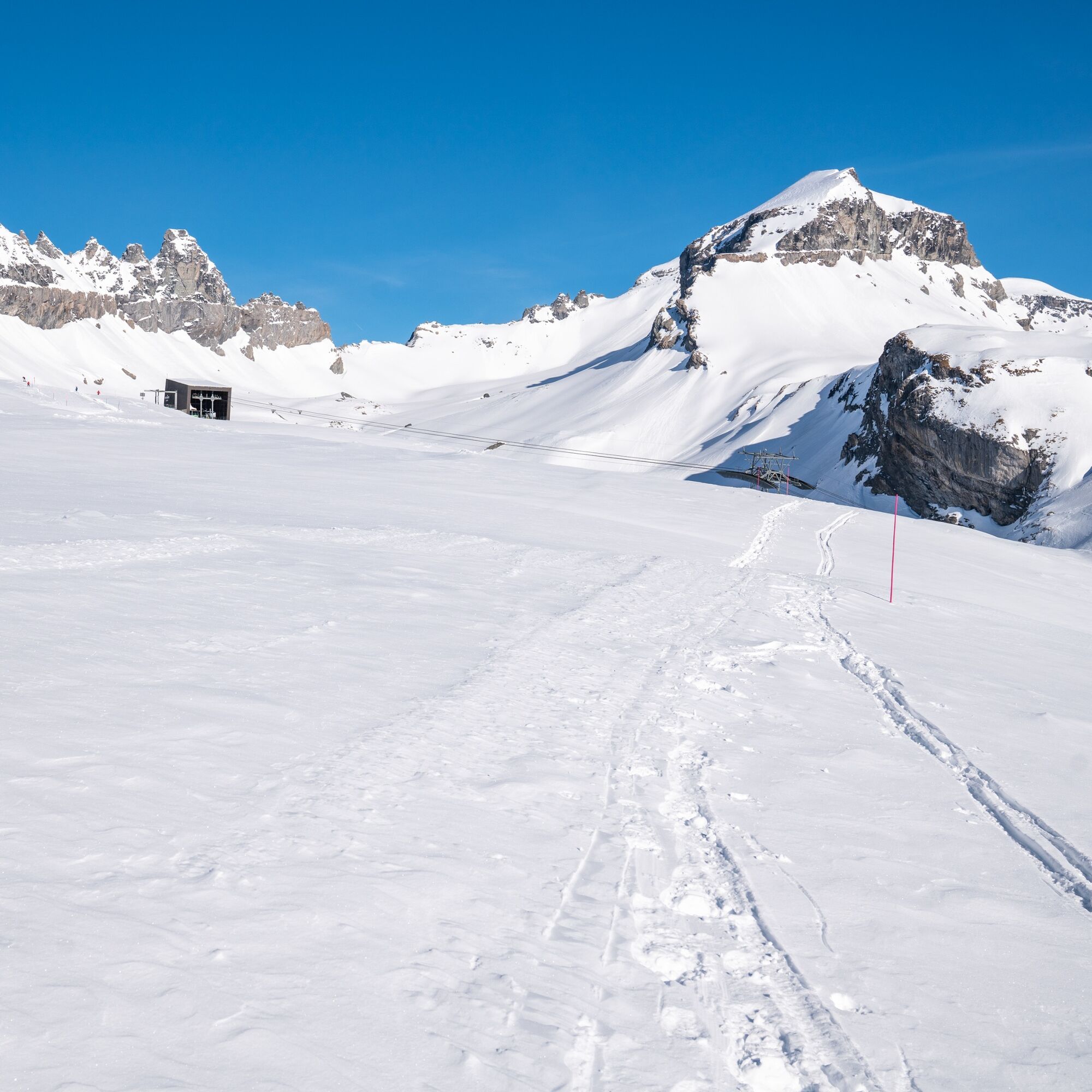
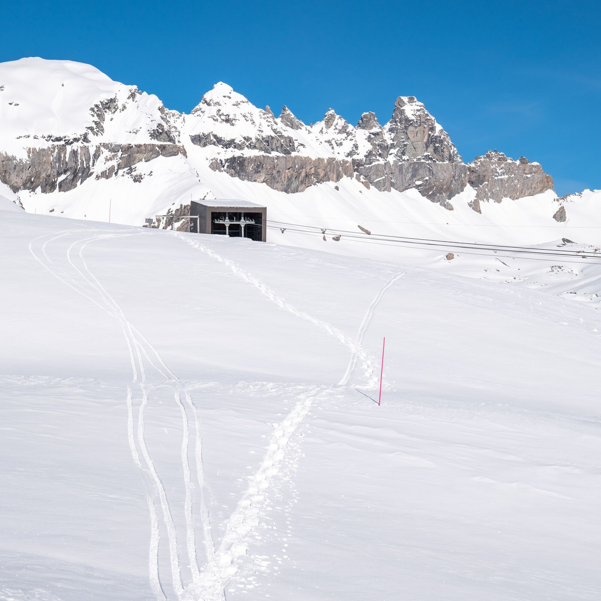
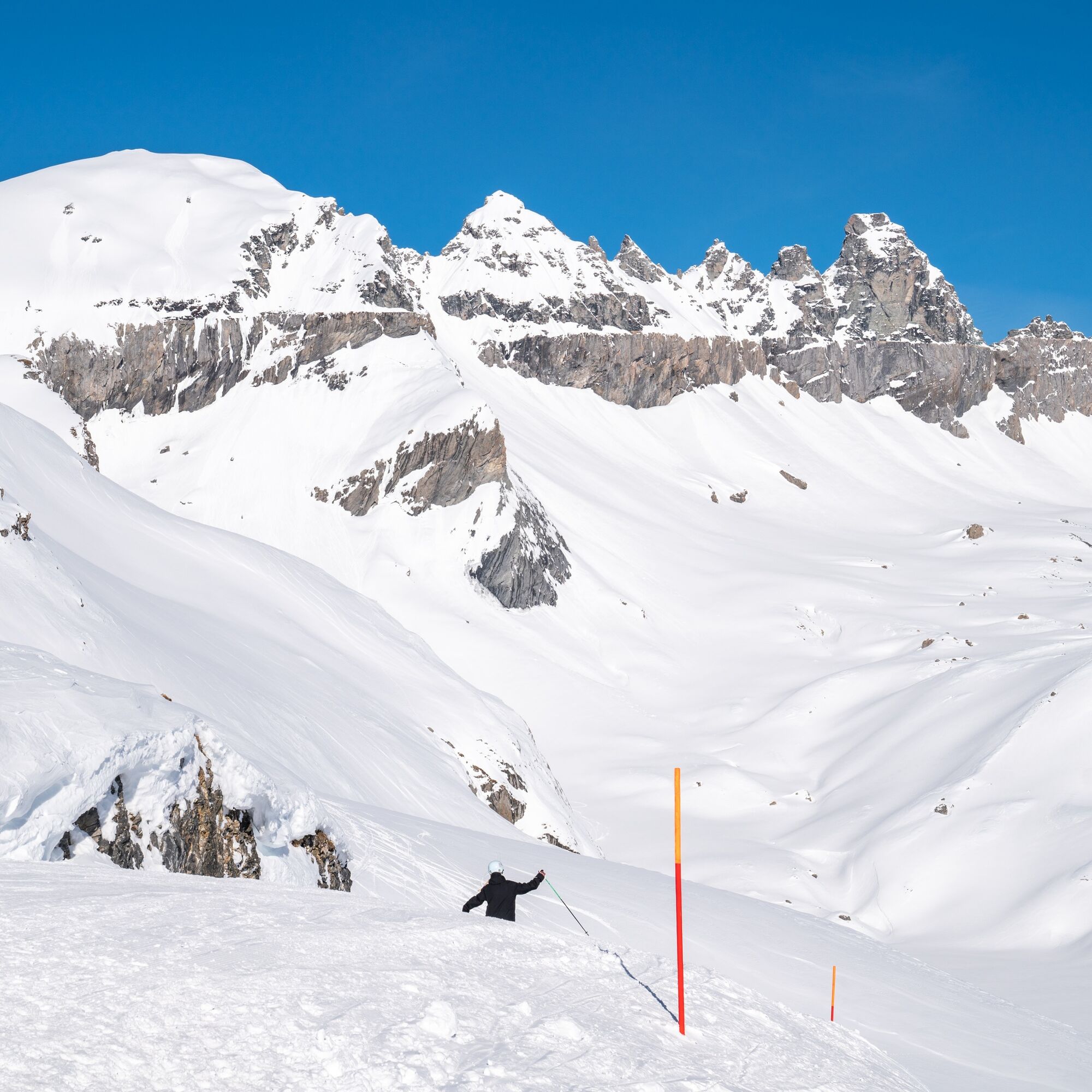
This snowshoe trail leads from the Nagens mountain station gently uphill to the Grauberg. Throughout the tour, you have a breathtaking panoramic view, especially of the impressive Tschingelhörner mountain...
This snowshoe trail leads from the Nagens mountain station gently uphill to the Grauberg. Throughout the tour, you have a breathtaking panoramic view, especially of the impressive Tschingelhörner mountain range. These are not only part of the Sardona UNESCO World Heritage Site, but also bear witness to the formation of the Alps thousands of years ago.
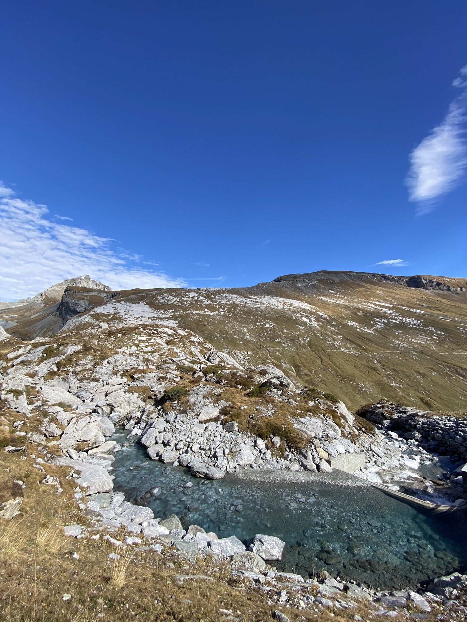
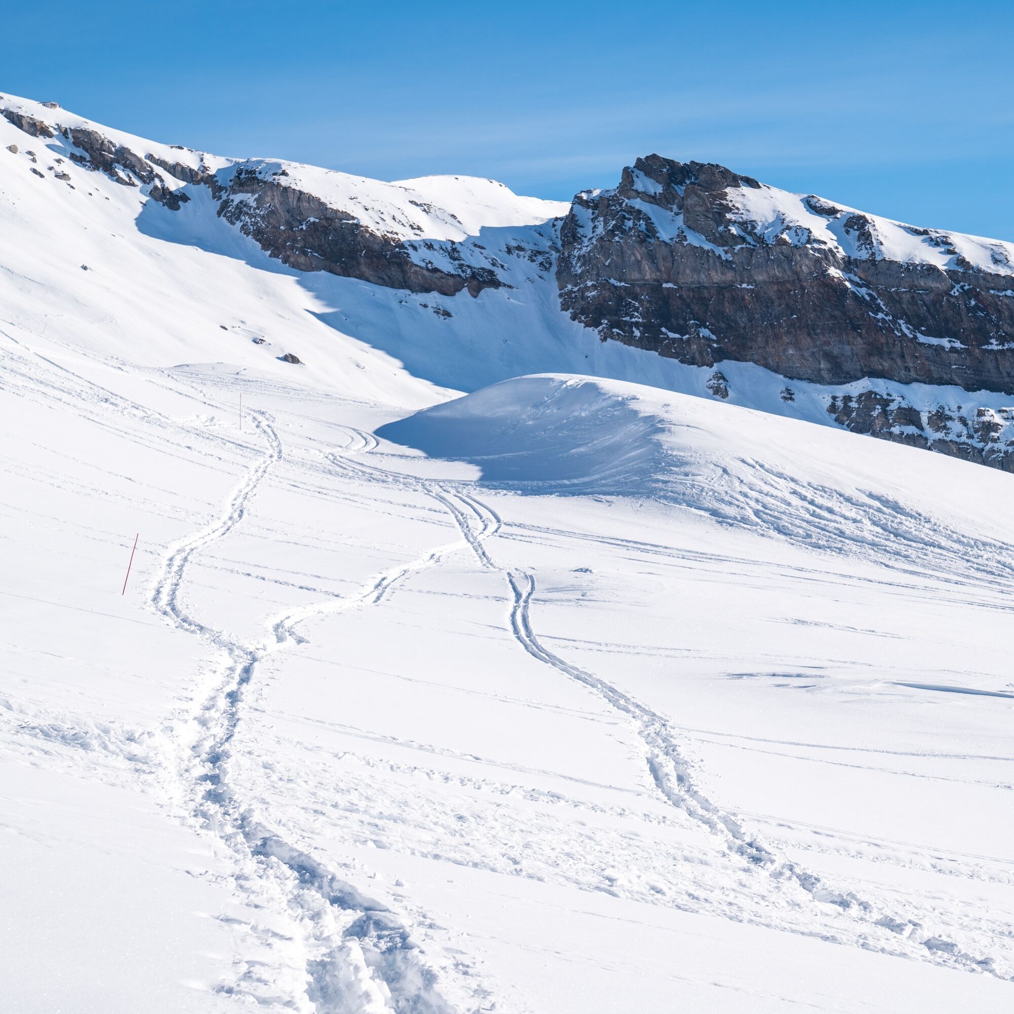
You continue to follow the slightly ascending ridge of the Grauberg, from where you have an impressive view down to the snow-covered Segnesboden. With a bit of luck, you might spot a few chamois on the sunny slopes opposite. At just over 2400 metres above sea level, where the terrain becomes steeper, is the turning point of this circular tour. A good place to take a break and enjoy a picnic.
Now you can look down into the valley - and this view is overwhelming: an almost endless panorama of the Grisons Alps. The return to Nagens is an easy trot. Before taking the mountain railway back down to the valley, you can treat yourself to some well-earned refreshments at Berghaus Nagens.

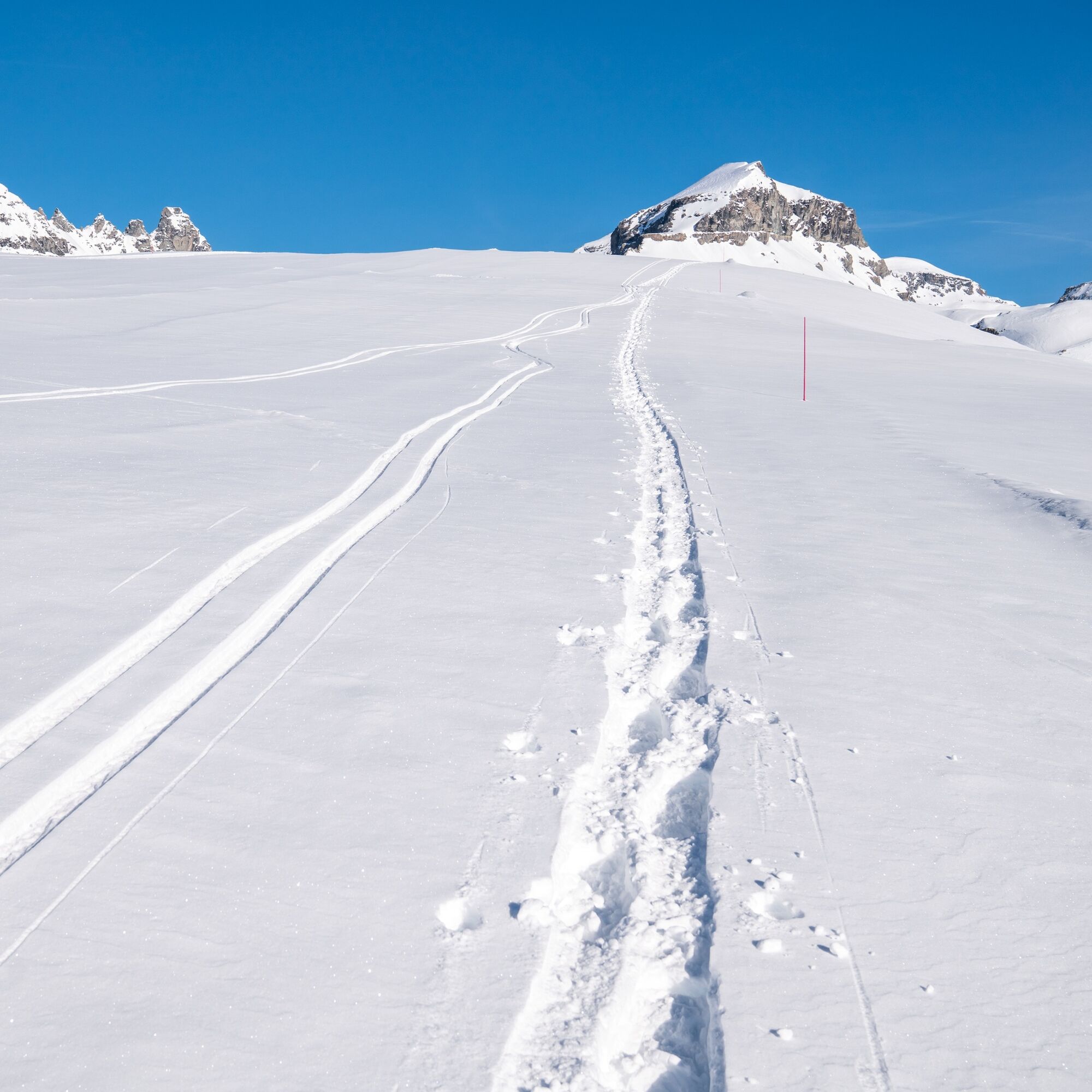
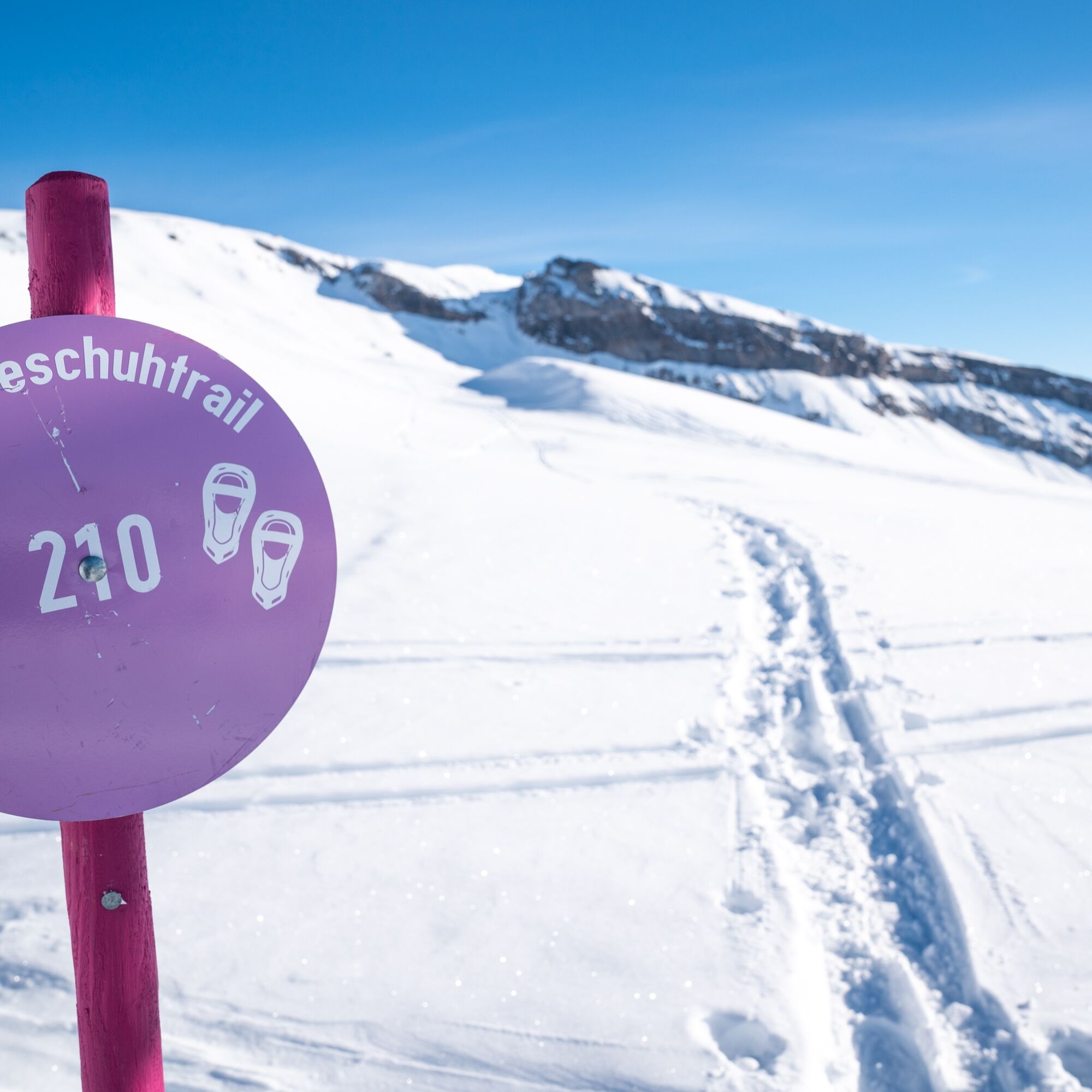
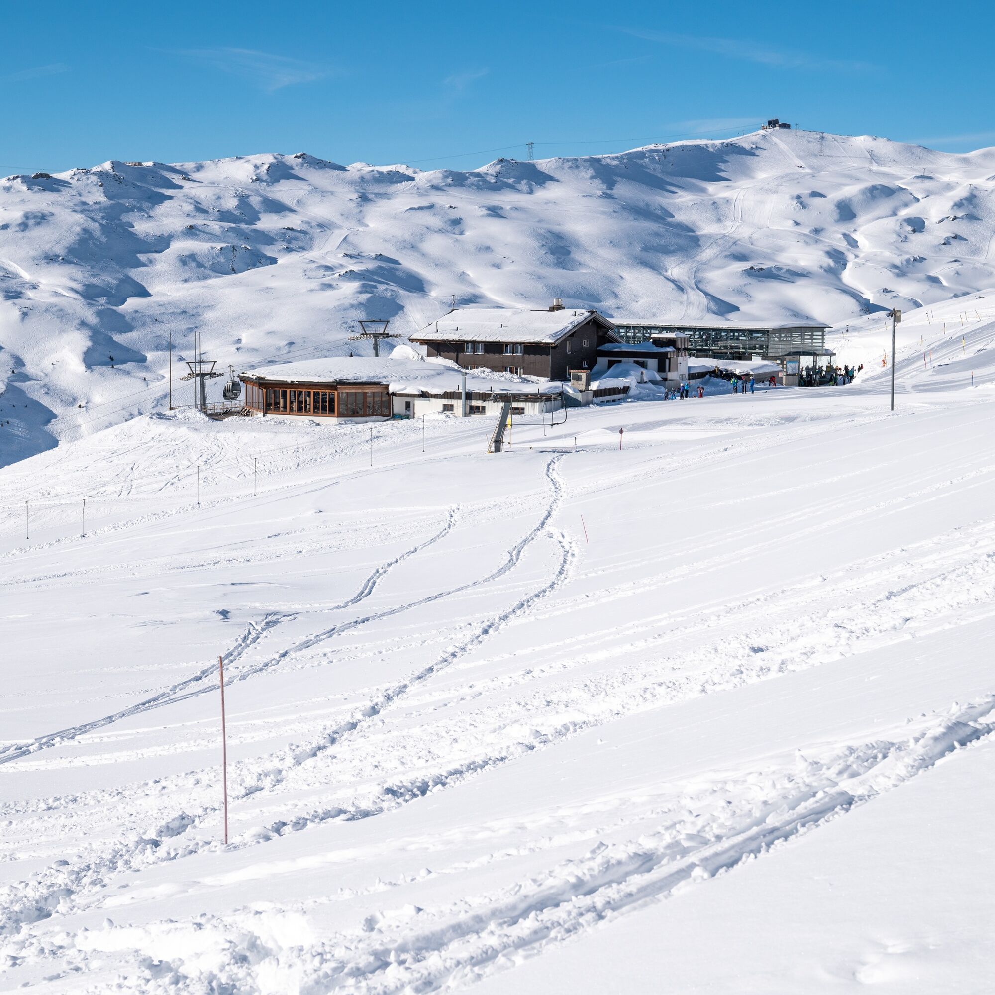
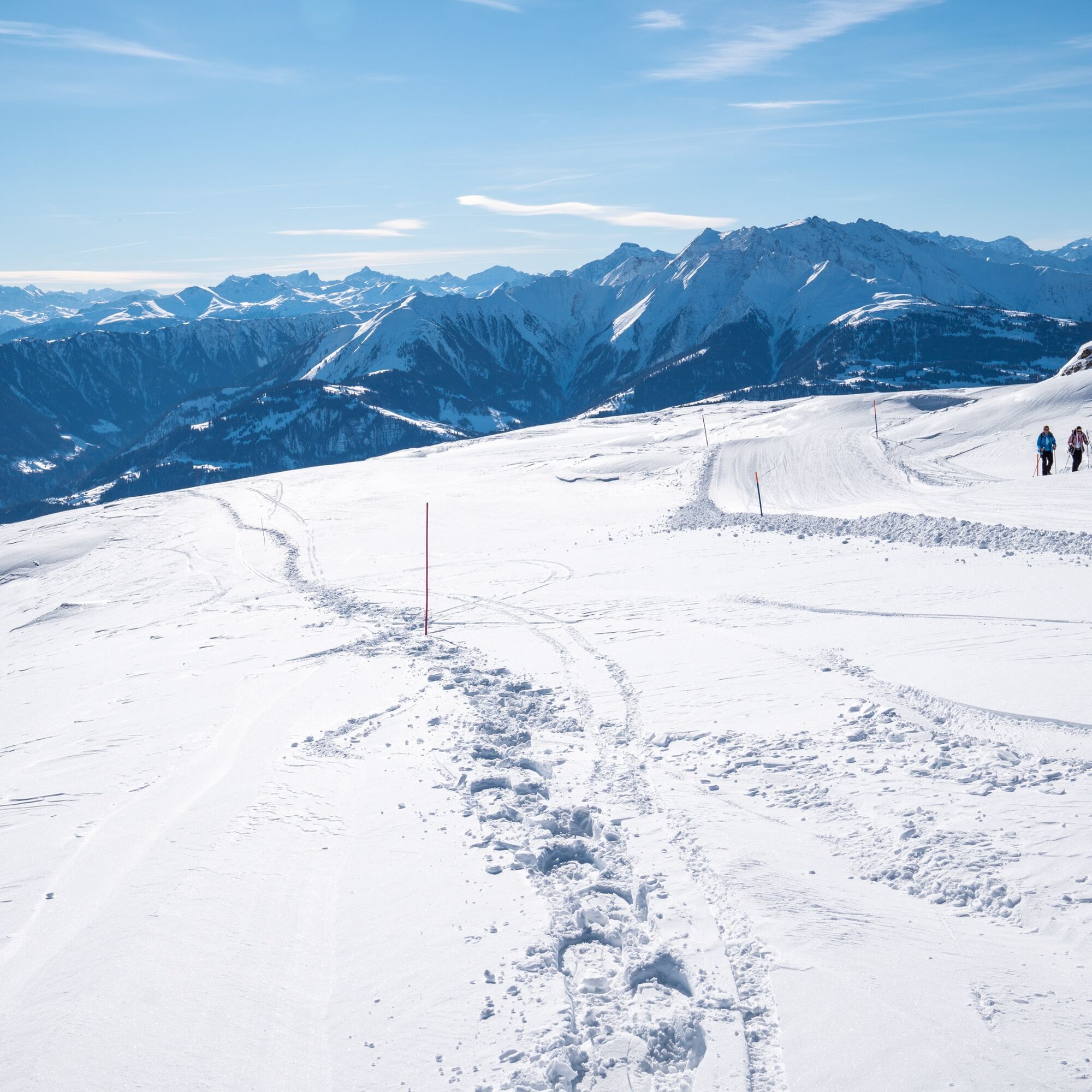
The snowshoe tour leads behind the Berghaus Nagens up to the Grauberg station. From there, continue up the Grauberg ridge to approx. 2400 metres above sea level and back to Nagens.
Tak
Tak
Well-functioning snowshoes, sticks with winter plates, good footwear, winter-proof clothing. The wind can sensitively reduce the perceived temperature in winter: do not forget winter gloves, hat, thermos flask, etc.
By car Motorway A13 from Zurich, exit 18 Laax Murschetg
Take the Postbus from Chur or the local public bus from Trin, Flims, Laax or Falrera to the Flims Bergbahnen bus stop.Then take the Arena Express gondola lift to Nagens.
750 parking spaces in parking garage Stenna Flims mountain railways
Guest information Flims Laax Falera
Via Nova 62
CH-7017 Flims
Phone: +41 (0) 81 920 92 00
Email: info@flimslaaxfalera.ch
Web: www.flims.com/winter-hiking
You can find out whether a tour is open or closed under the following link: https://live.flimslaax.com/hiking-cross-country-skiing
Visit the Freeride Base on Nagens, the meeting point for freeriders and the home of our ski patrollers: insiders come here for their excellent coffee!
Kamery internetowe z trasy
Popularne wycieczki w okolicy
- 4,7
The riverside trail: Trutg dil Flem
średniTrasa tematyczna13,5 km - 4,7
Senda Ruinaulta: The "Swiss grand canyon" route - 659
światłoWędrówka9,39 km - 4,8
Rheinschlucht: Von Ilanz nach Versam ins Herz der Rheinschlucht
średniWędrówka11,4 km - 4,3
Round trip hike Falera - Curnius - Alp Dadens - Falera
średniWędrówka11,4 km Rheinschlucht/Ruinaulta: Ilanz - Reichenau
średniWędrówka21,2 km- 3,0
Tour zum Martinsloch
ciężkiWędrówka3,82 km Flimserstein: Bargis - Naraus - Flims
ciężkiWędrówka16,8 kmCrap Sogn Gion - Fuorcla - Alp Nagens
średniWędrówka9,44 kmTrin Mulin - Crestasee
światłoWędrówka4,58 km- 5,0
Nagens - Unterer Segnesboden - Segneshütte - Alp Nagens
średniWędrówka6,69 km
Wędrówki i tropienie


Nie przegap ofert i inspiracji na następne wakacje
Twój adres e-mail została dodana do listy mailingowej.