






STRADA DA LIS FORNAS TRAIL

Poziom trudności: T1
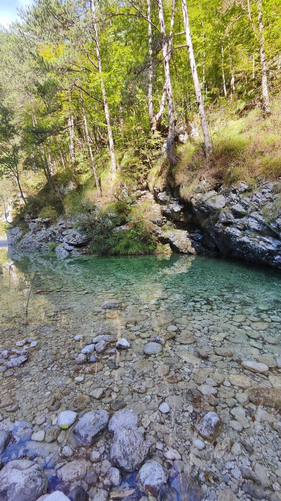
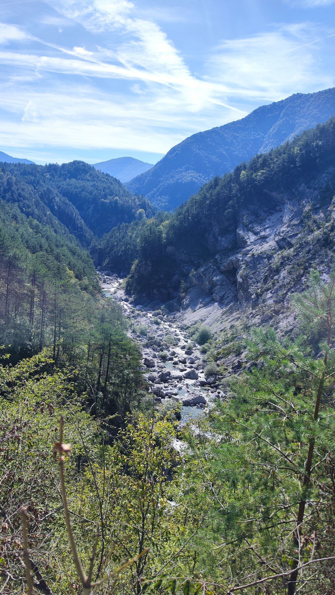
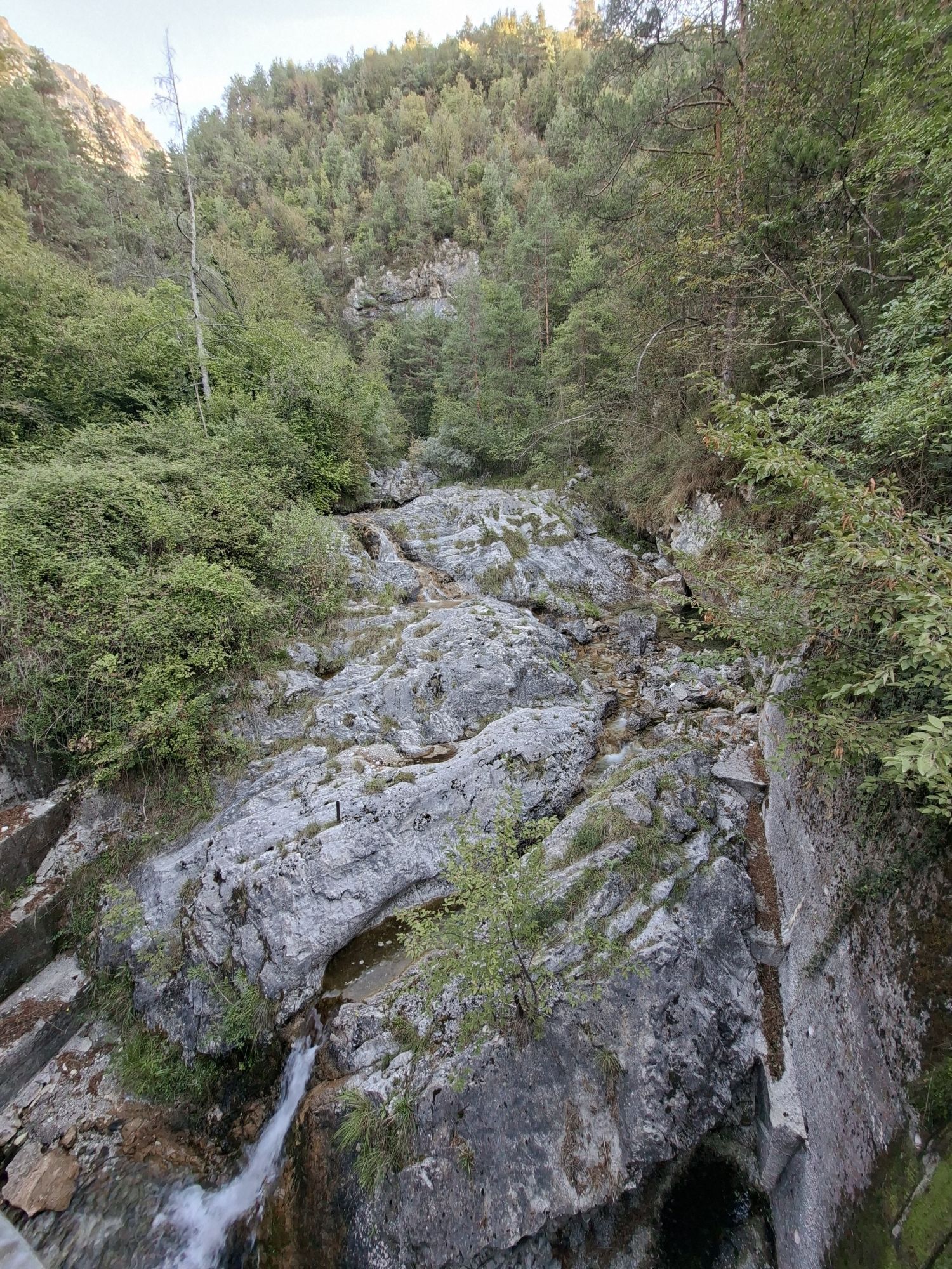
From the Area Picnic Sottrivea located near the Meduna riverbed (reachable from Tramonti di Sopra following the related road signs), you head to the trailhead, identifiable by an explanatory panel and...
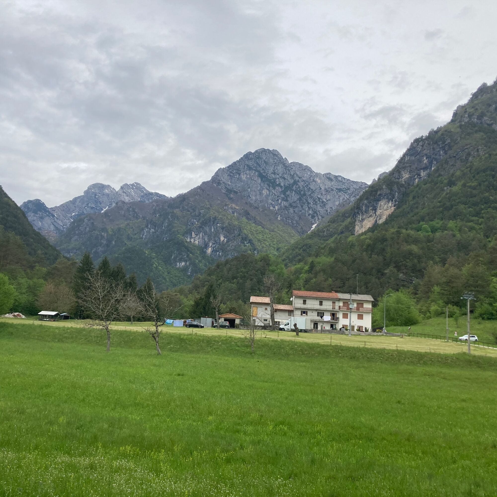
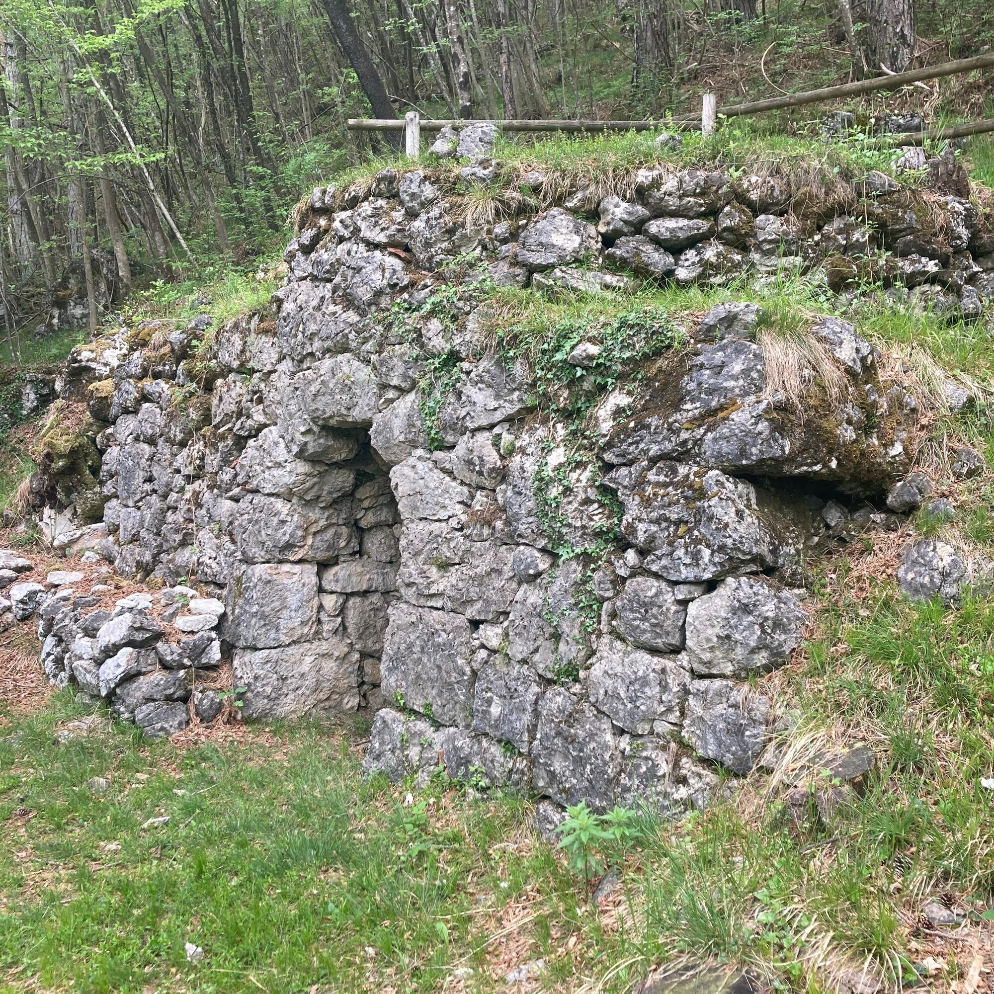
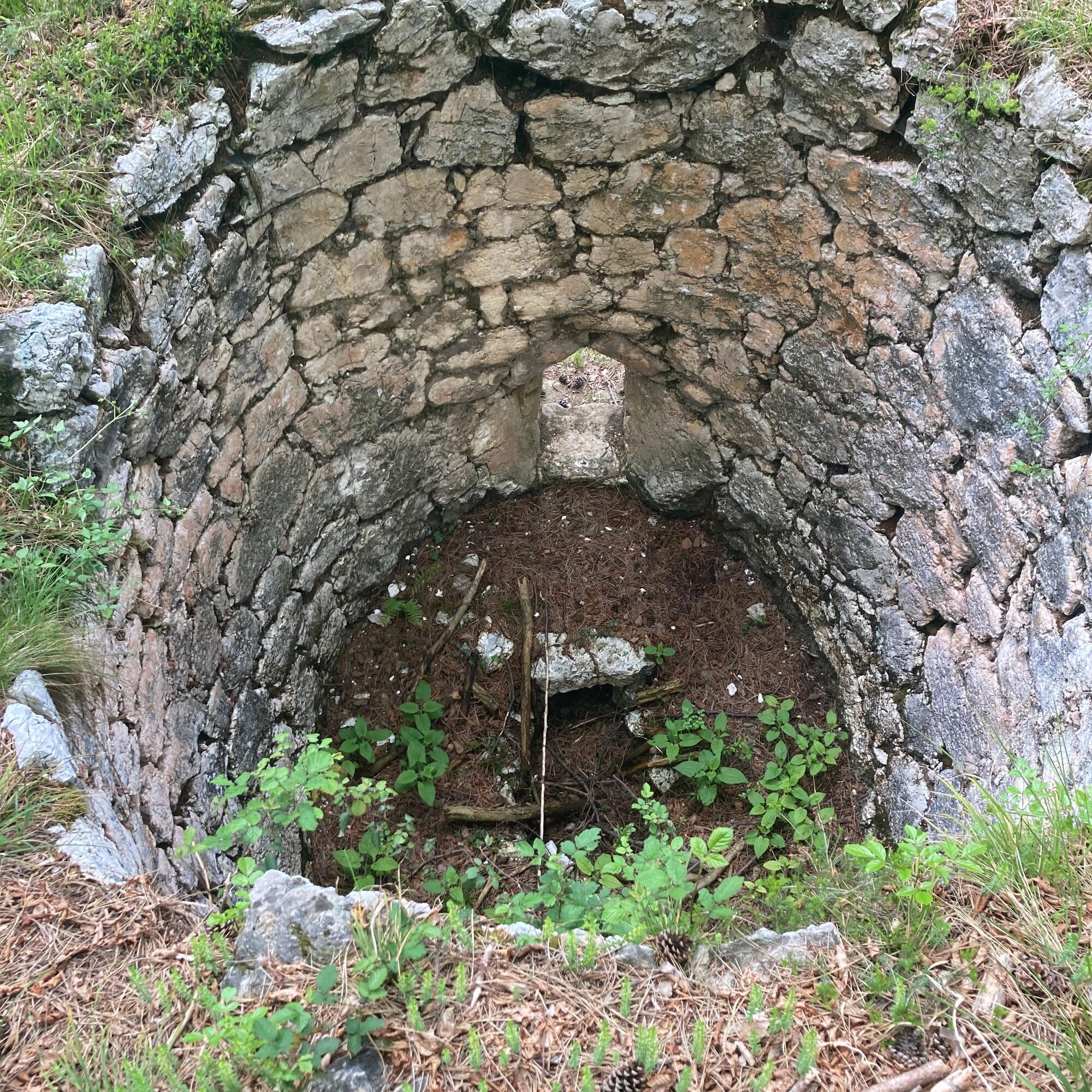
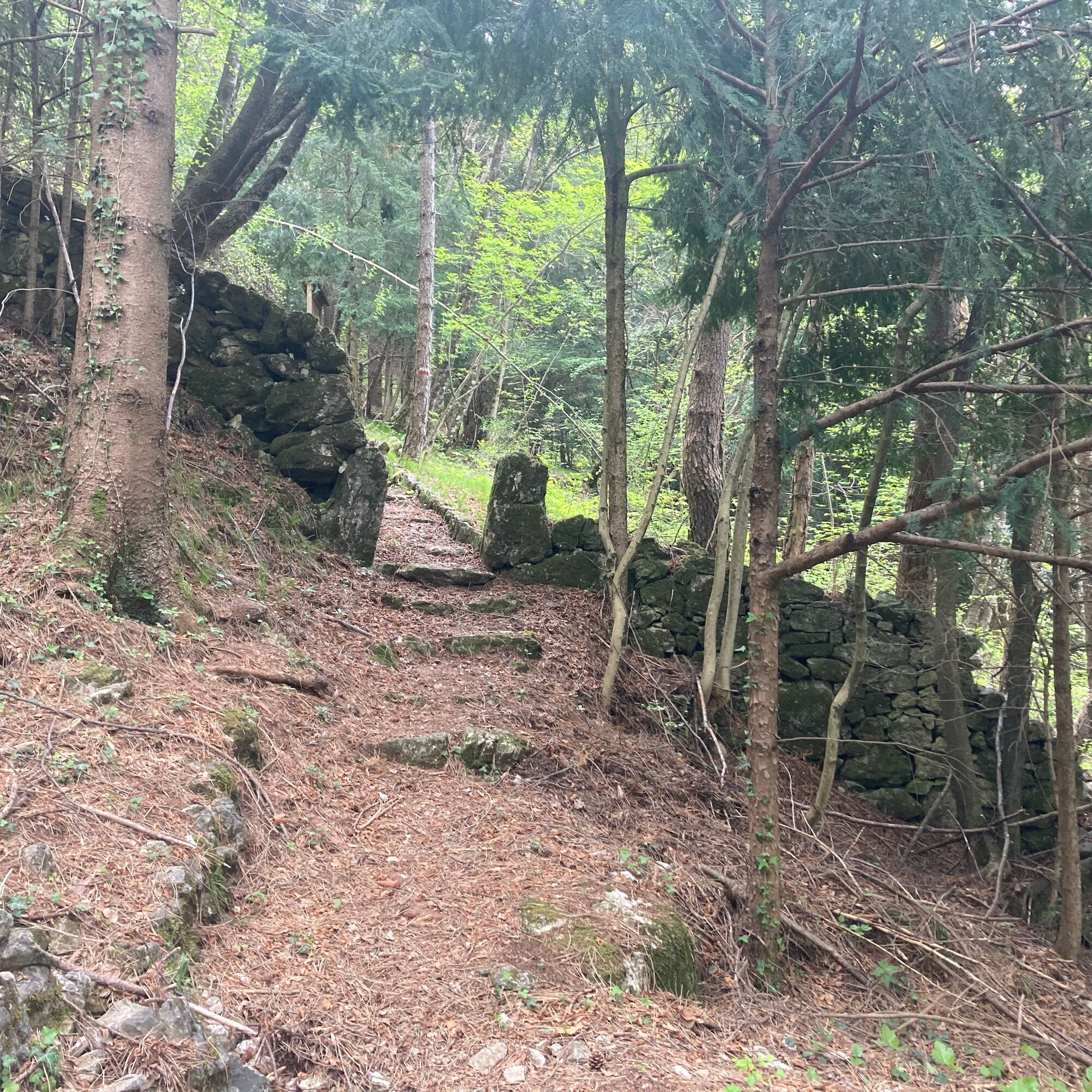
From the Area Picnic Sottrivea located near the Meduna riverbed (reachable from Tramonti di Sopra following the related road signs), you head to the trailhead, identifiable by an explanatory panel and a pedestrian gate at the entrance. Climbing through switchbacks, you reach the plateau where the Borgo Titol Agritourism farm stands, which you pass to continue the route to a viewpoint over the Meduna stream. You ascend through a hop-hornbeam forest and, after passing another pedestrian gate, enter an artificial spruce forest up to the Curs farmhouses. Then descending with two switchbacks, you arrive at a meadow leading to the paved road. You follow it to the left, passing the Pradiél village and, after a short descent, reach the bridge where there is a sign to reach the nearby and slightly lower Pradiél Mill. Returning to the bridge, you again take the paved road to the left until, after an uphill stretch, you reach the trailhead (signs), initially marked by a log staircase. The route goes into a hop-hornbeam and beech forest, continues to a house whose courtyard is crossed (pedestrian gates), and climbs again to another house (Casa Abis) that welcomes you with its characteristic courtyard and portal. Beyond the house, the path tends to descend with a wide mule track until reaching the paved road, which you follow to the left towards the village of Tramonti di Sopra. The signs at the junctions direct the route back to the Area Picnic, the starting point.

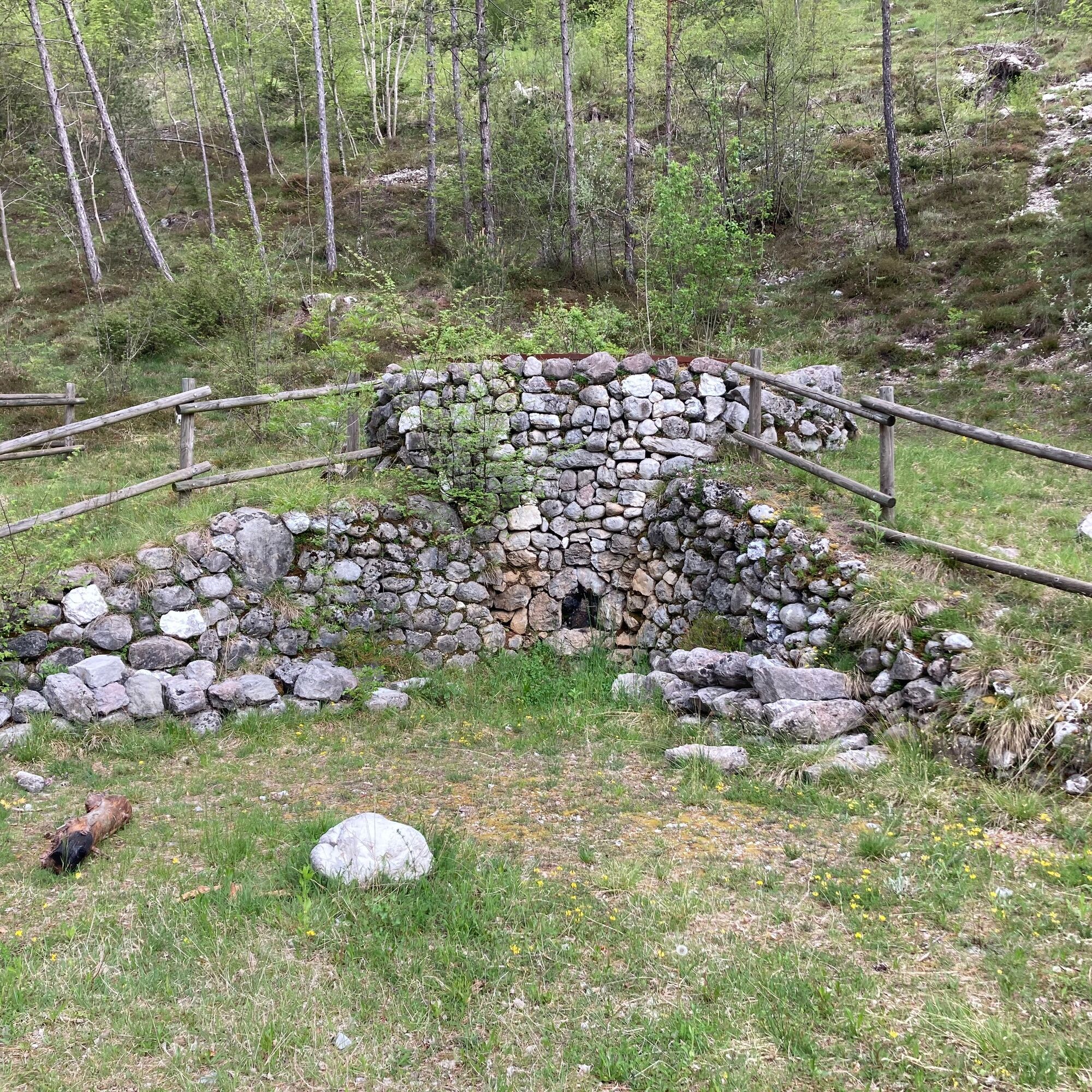

CAI trail marker 394
Tak
Tak
From hike
T1
https://app.parcodolomitifriulane.it/itinerari/semplici-per-tutti/sentiero-strada-da-lis-fornas/


Popularne wycieczki w okolicy
- 5,0
PATH OF THE POZZE SMERALDINE
światłoWędrówka 6,77 km - 4,5
Tiziana Weiss nature trail
średniWędrówka 9,23 km - 4,0
Colmajer ridge loop
średniWędrówka 7,51 km Palcoda i Tamar, opuszczone wioski
średniWędrówka 8,38 km- 5,0
Raut da Palabarzana
średniWędrówka 9,72 km From Sella Chianzutan to Colle dei Larici, the route of red marble
średniWędrówka 10,5 kmMonte Valinis loop from Sottomonte
średniWędrówka 8,41 kmThe multicolored campanili of Mount Zauf
średniWędrówka 14,2 kmOd przełęczy Rest do trasy panoramicznej Rest Mountain
średniWędrówka 7,72 kmFRASSANEIT AND LAGO DEL CIUL
średniWędrówka 11,4 km
Wędrówki i tropienie


Nie przegap ofert i inspiracji na następne wakacje
Twój adres e-mail została dodana do listy mailingowej.





