






Monte Valinis loop from Sottomonte

Poziom trudności: T1

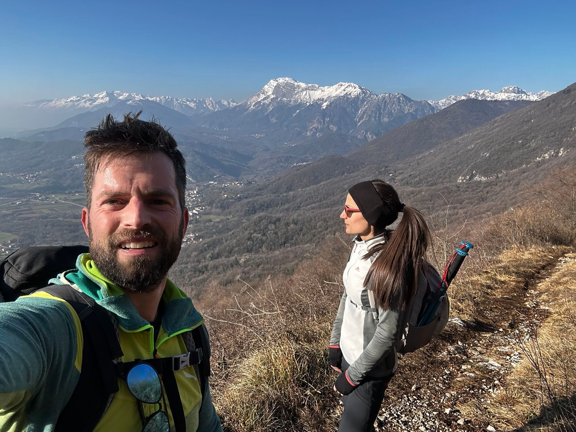
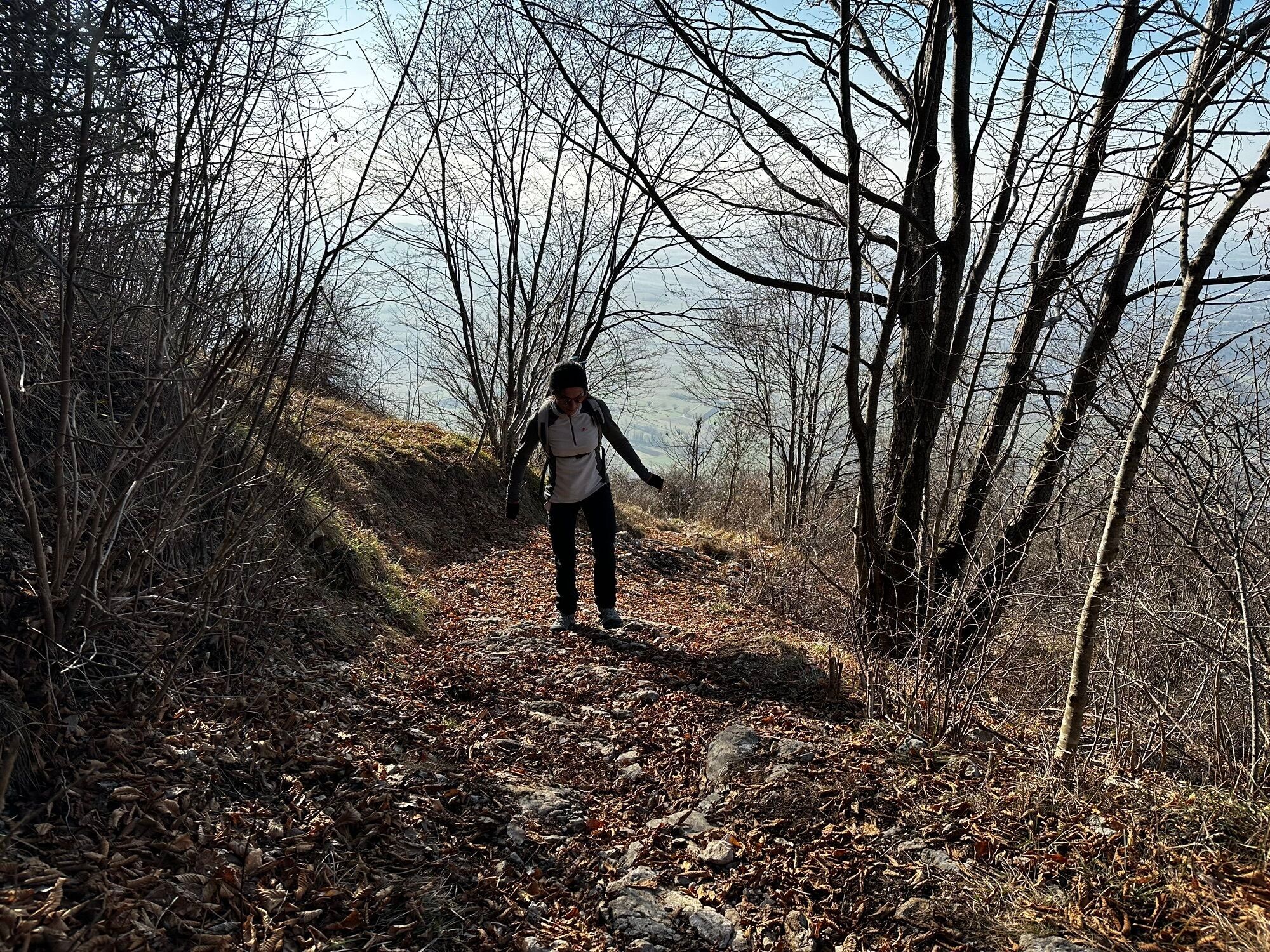
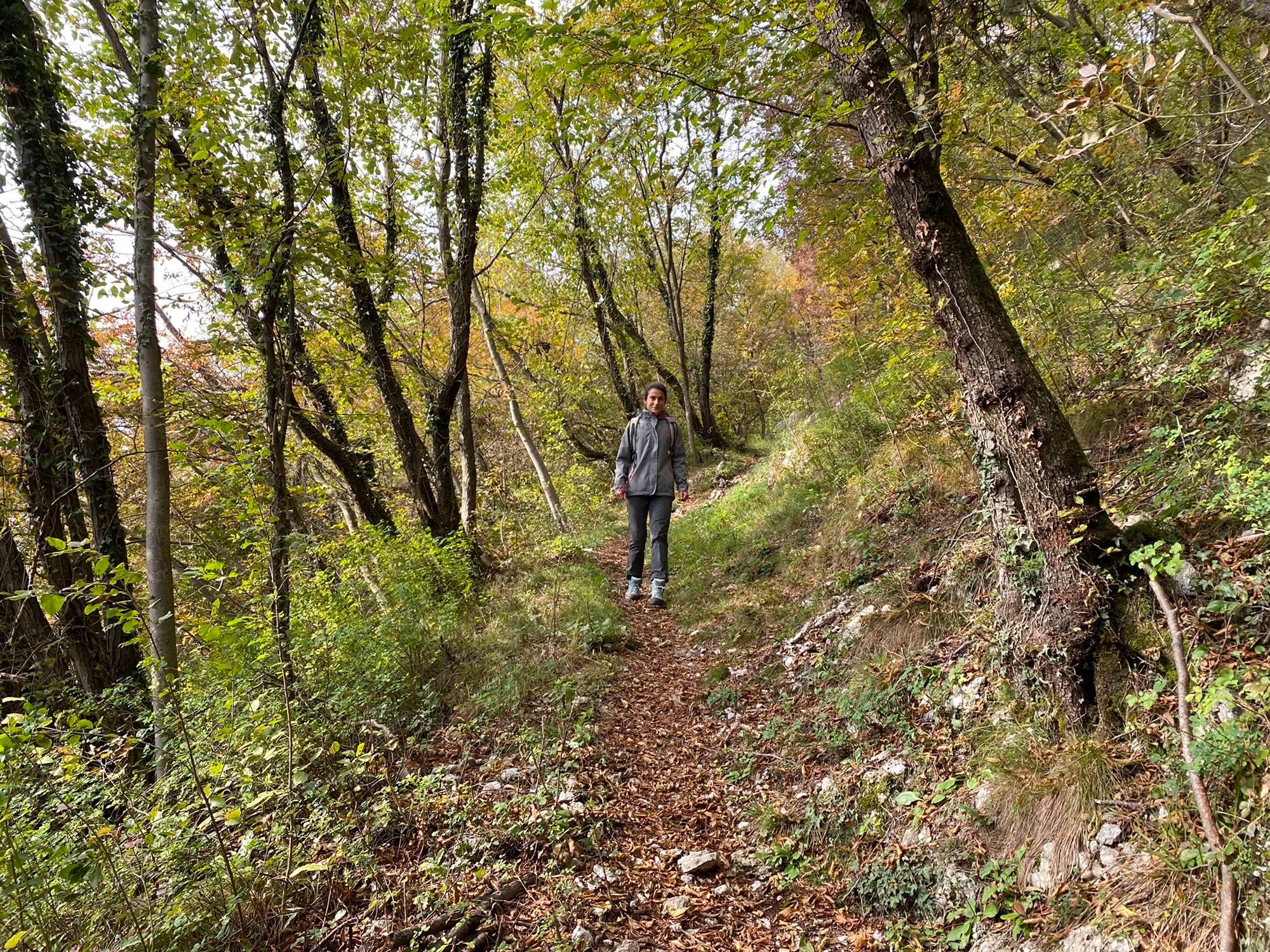
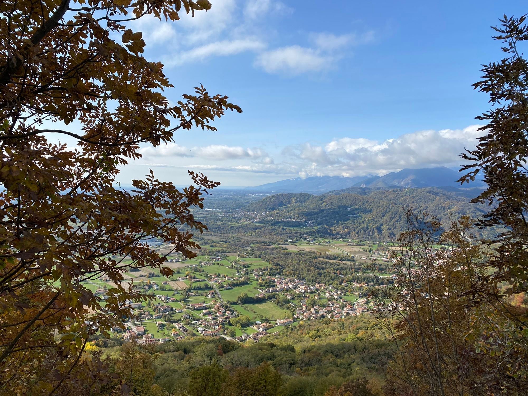
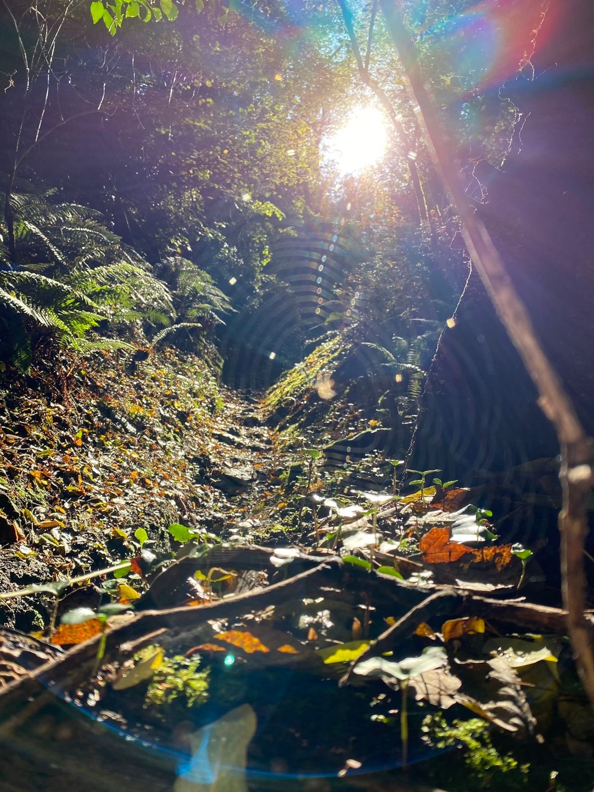
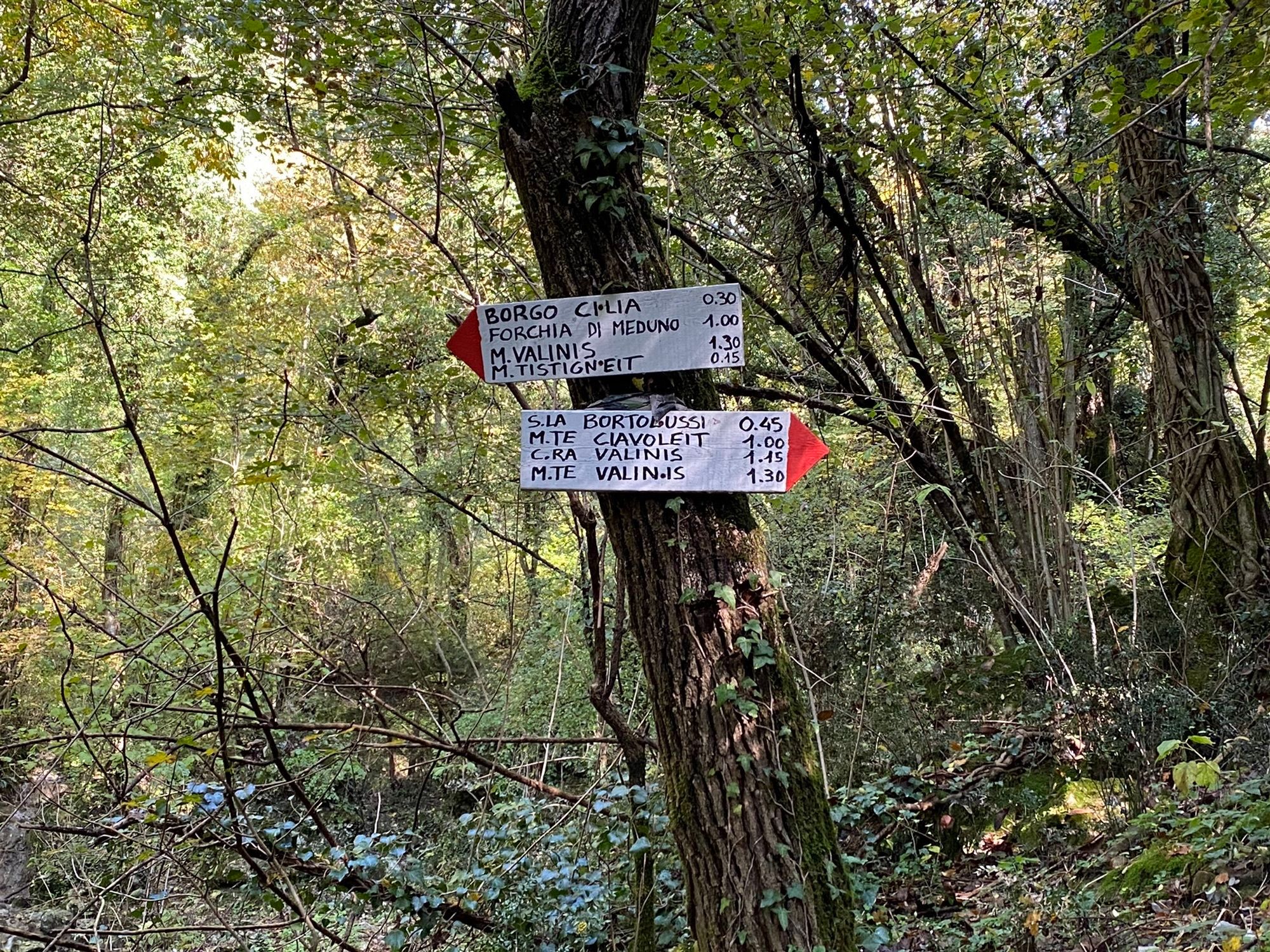
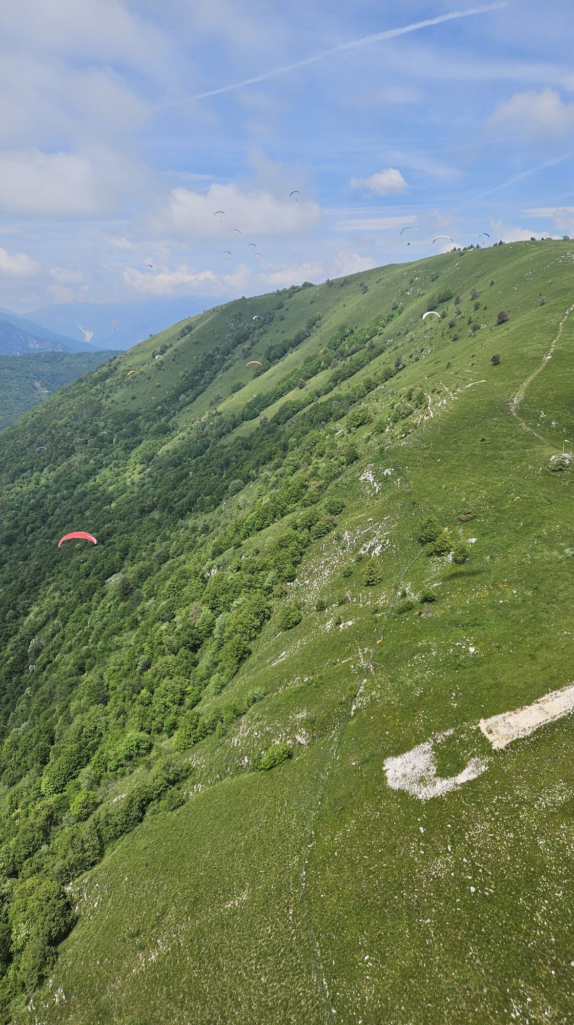
Park the car near the San Giovanni di Sottomonte church, a hamlet of Meduno (two parking lots, 305 m). Here begins trail 819, to be followed until a fork: right to Monte Valinis, left... also. It is better...
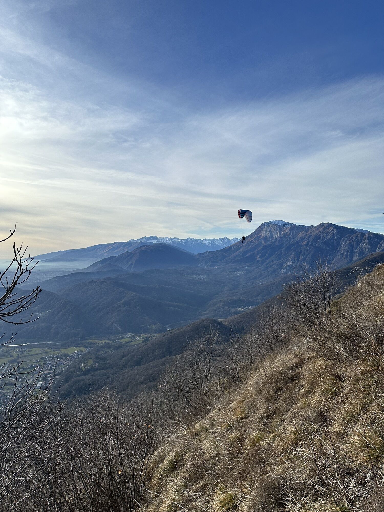
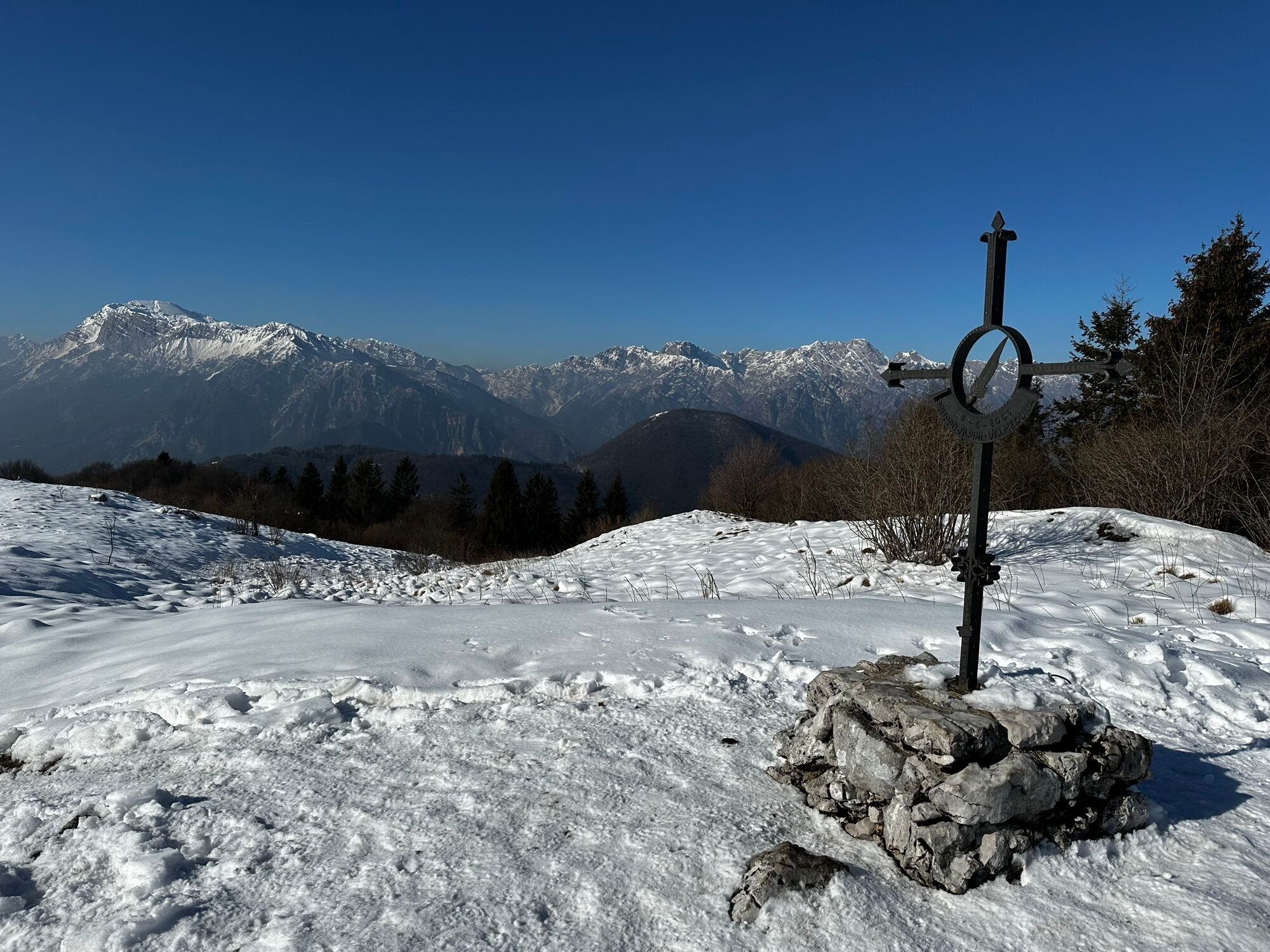
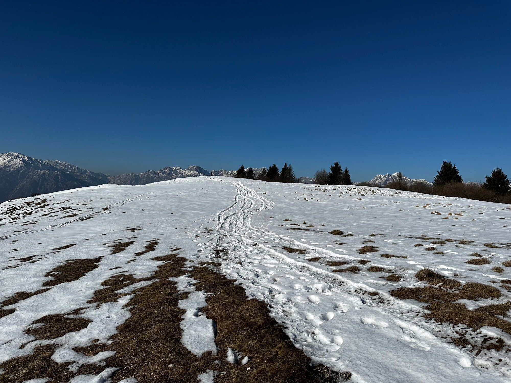
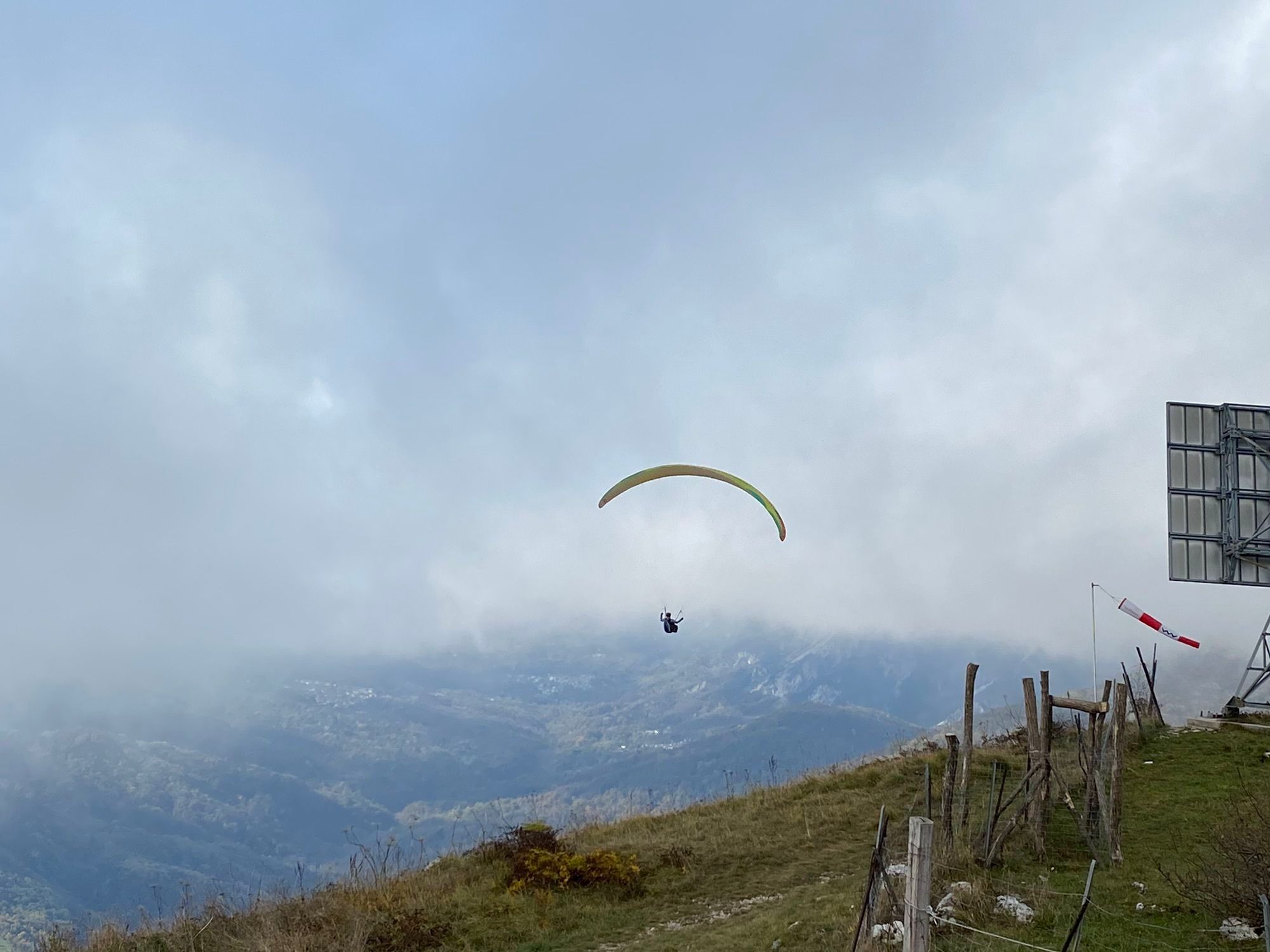
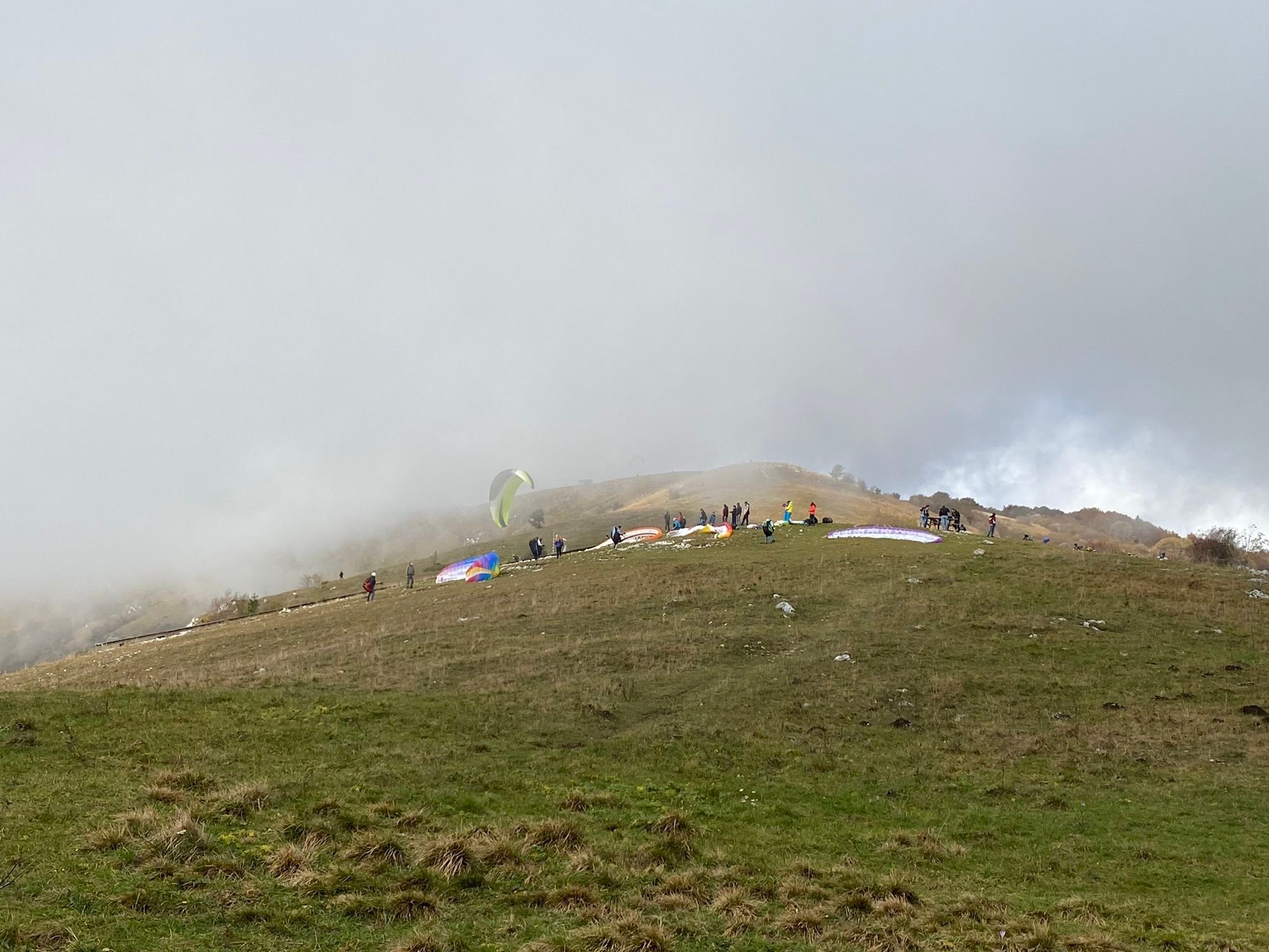
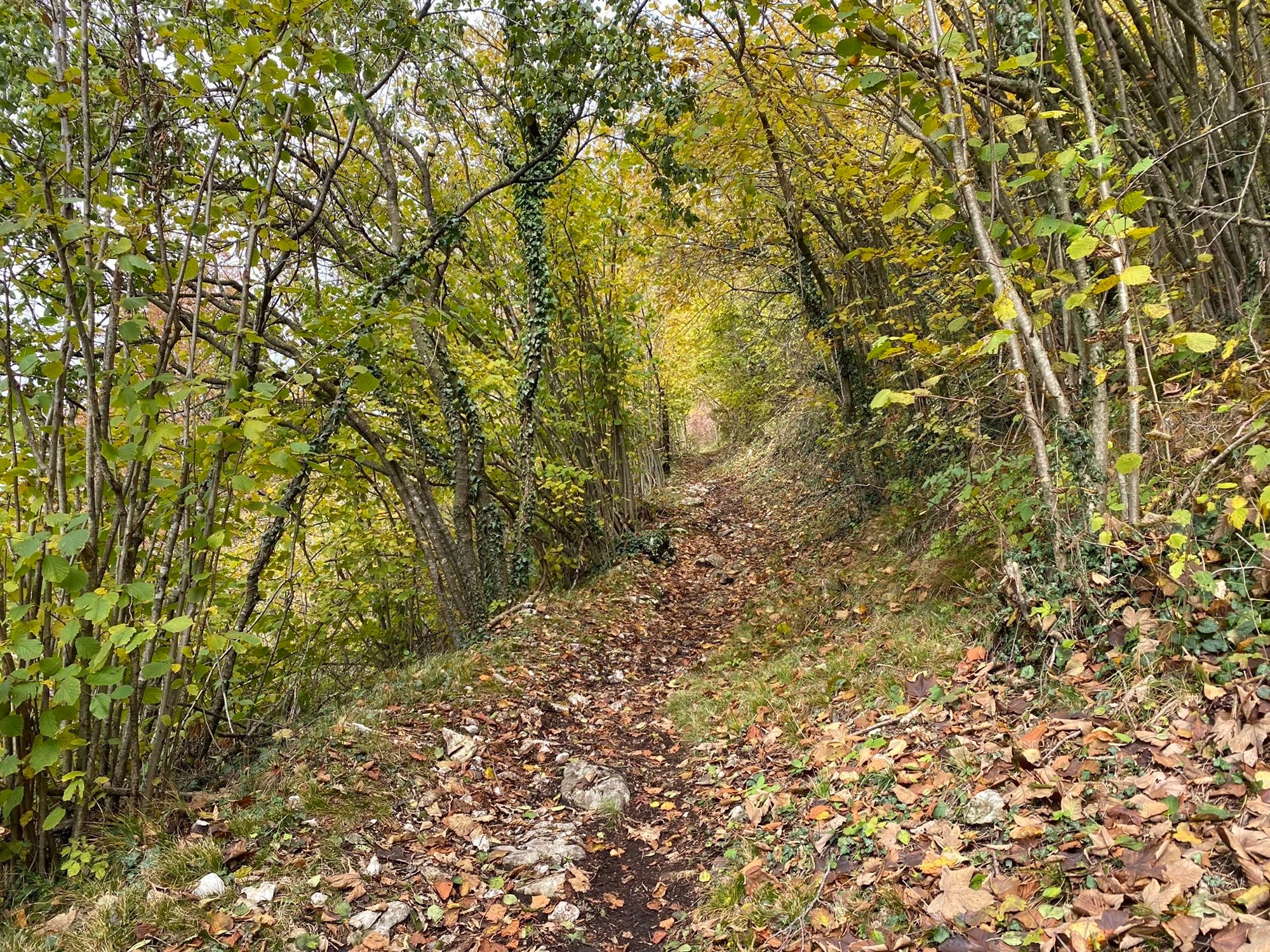
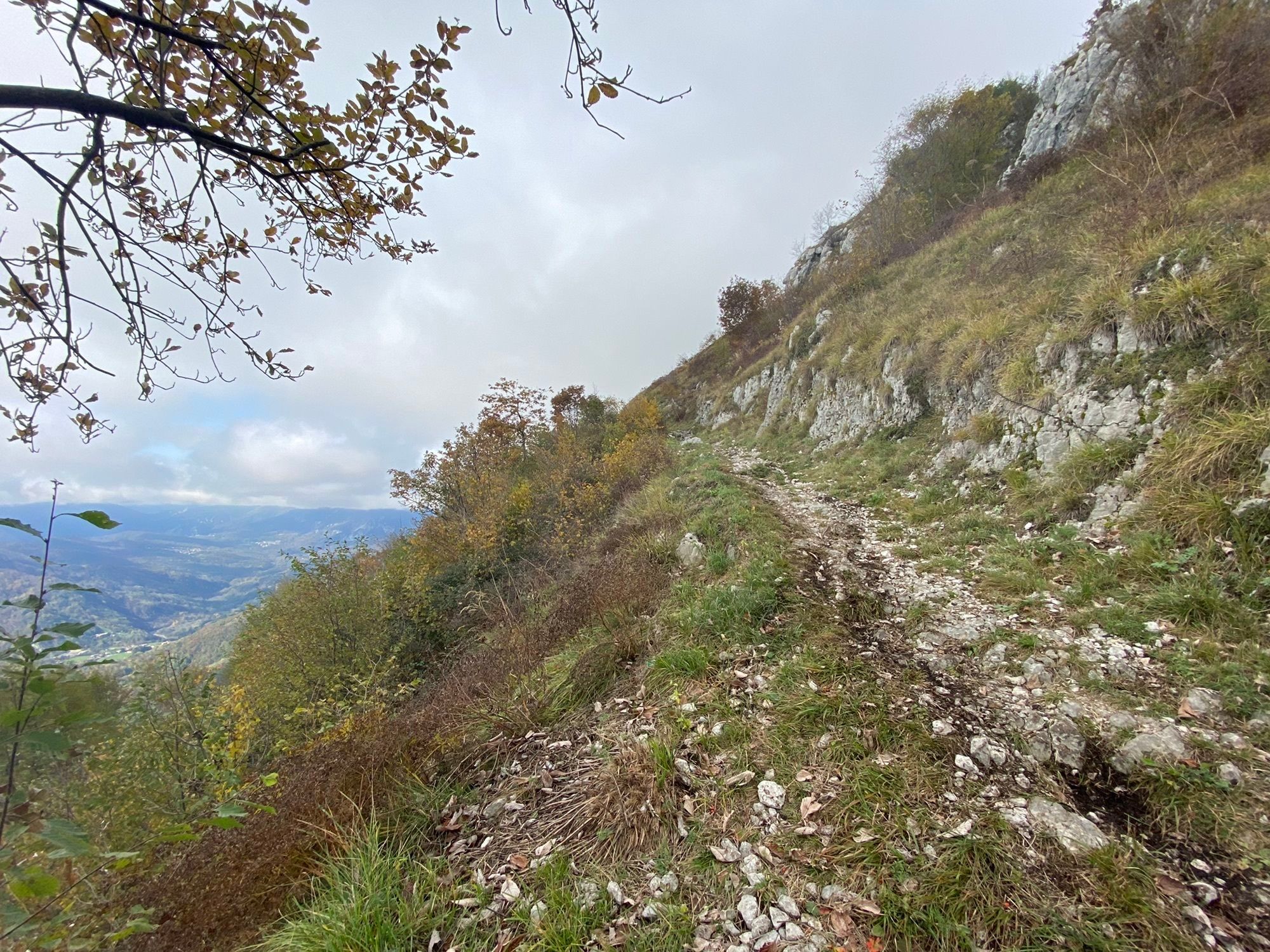
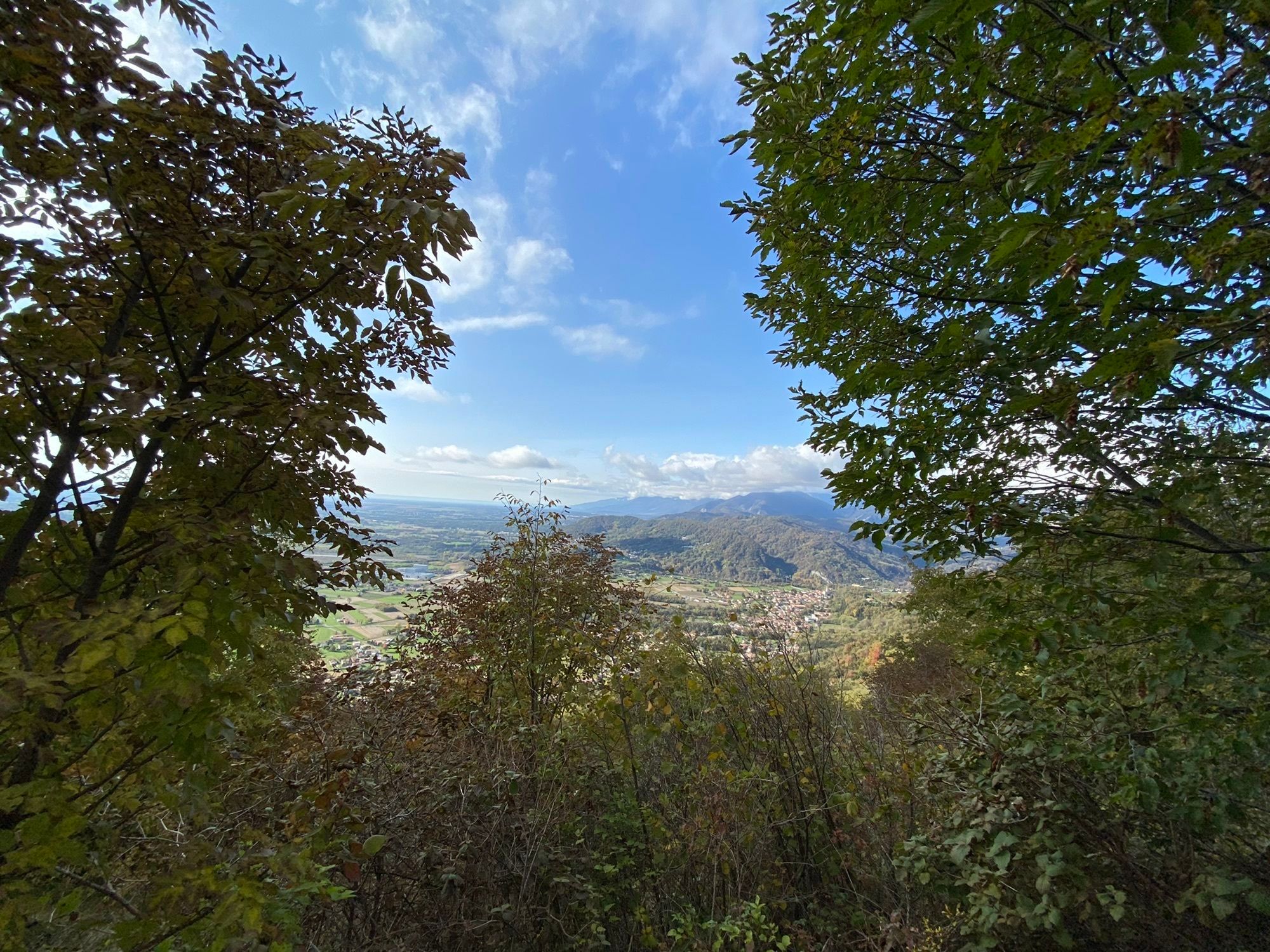
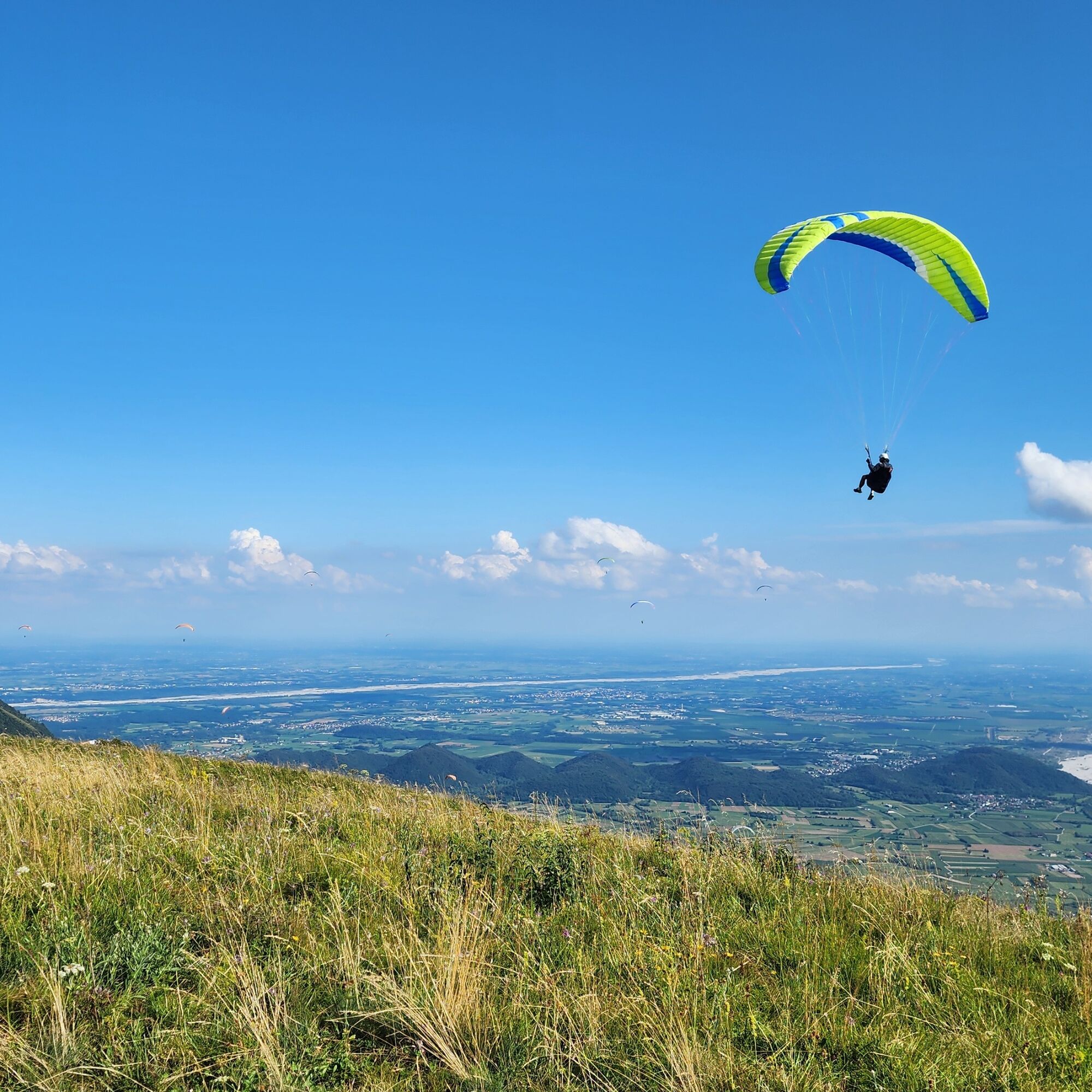
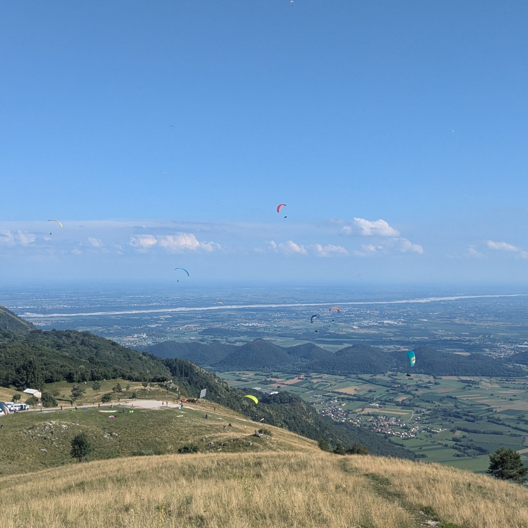
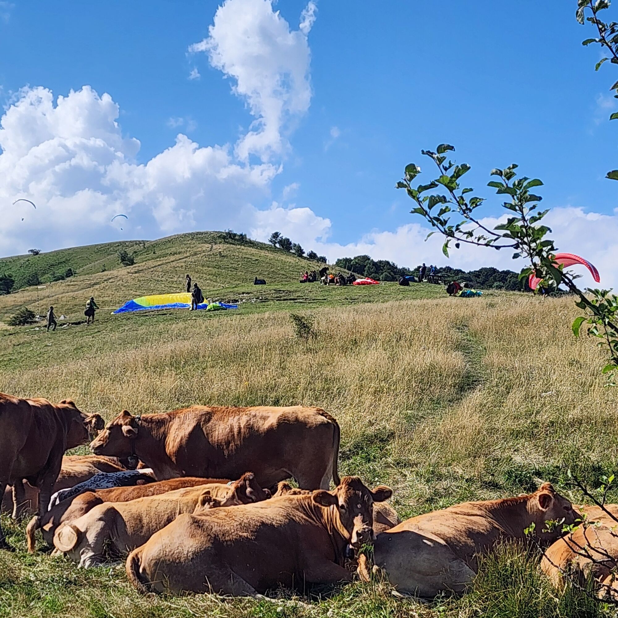
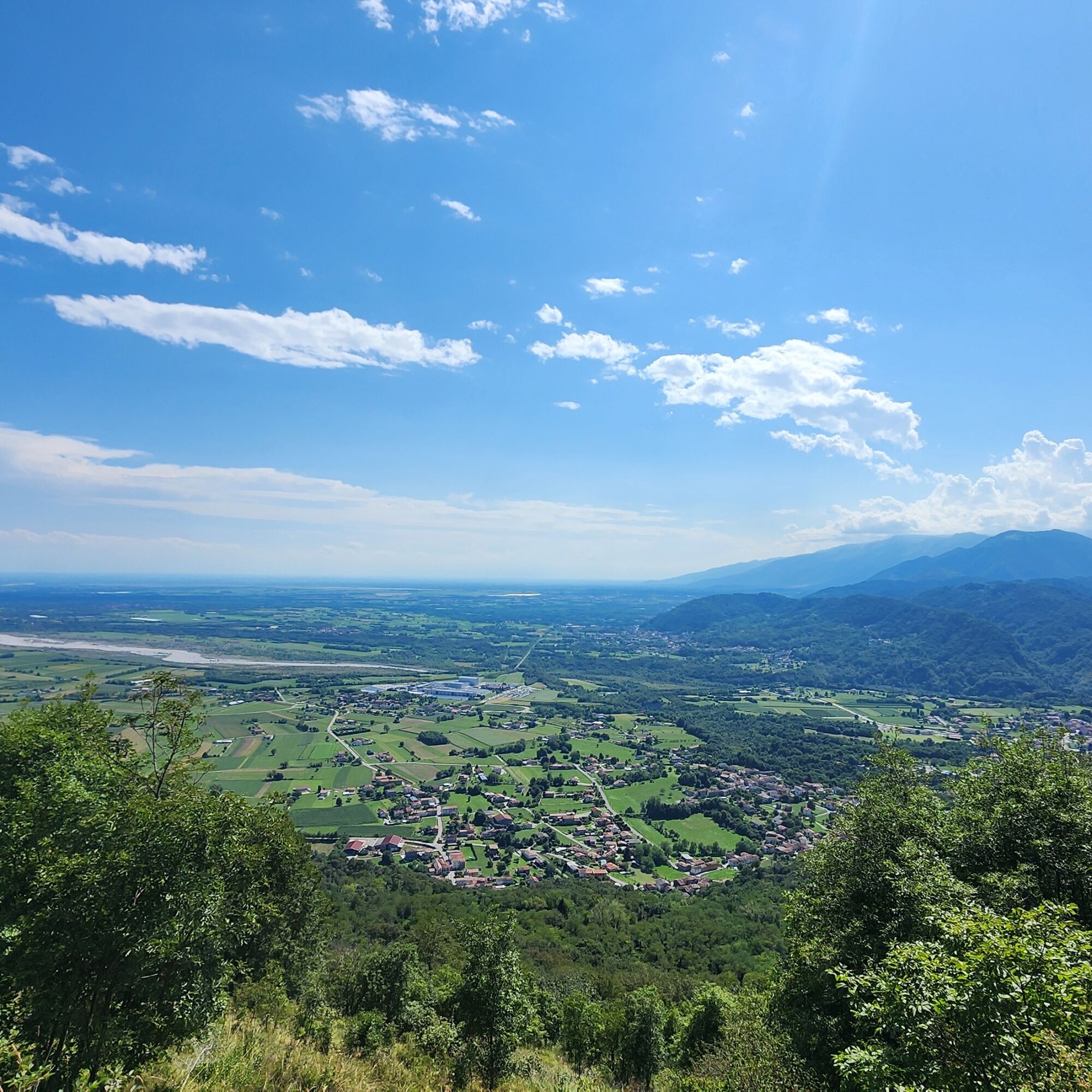
Park the car near the San Giovanni di Sottomonte church, a hamlet of Meduno (two parking lots, 305 m). Here begins trail 819, to be followed until a fork: right to Monte Valinis, left... also. It is better to do the loop counterclockwise; it is more pleasant. The ascent goes through the forest up to 600 meters altitude, where it thins out. At this point, the view opens onto the Friulian plain, and paragliders' sails will very likely fly over us. At the 960 m saddle, take the left, pass the take-off point, and climb the grassy ridge that leads to the Valinis summit cross (1102 m); summit book inside the curious metal box.
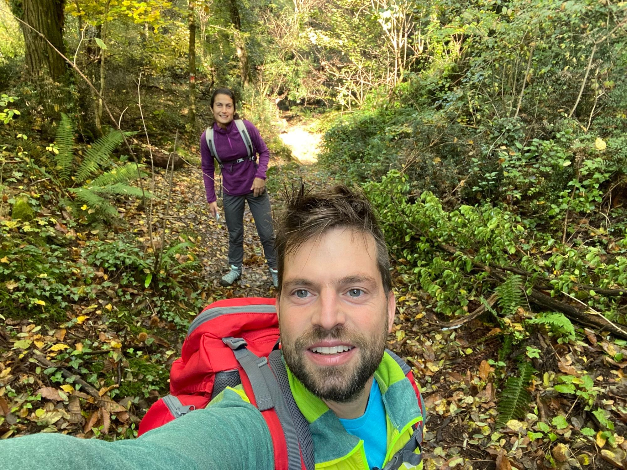
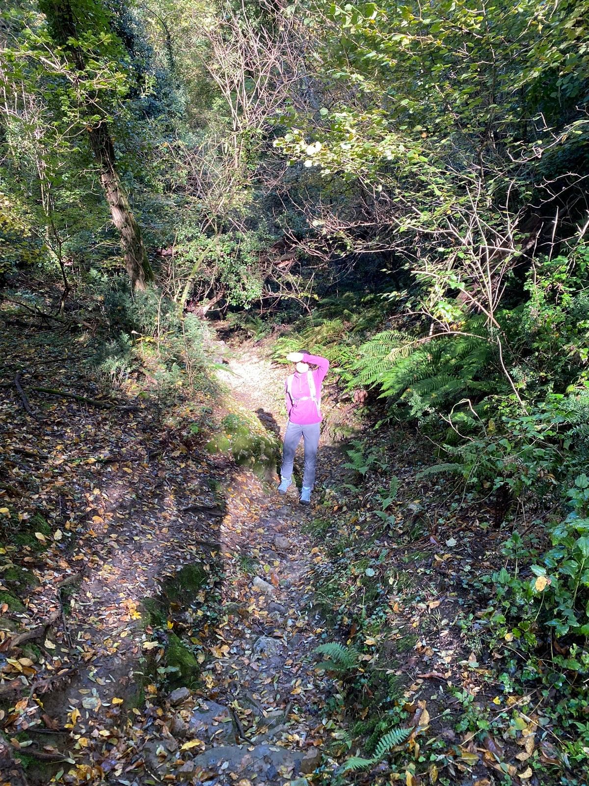
To close the loop, beyond the cross follow the trail that continues along the ridge line and, shortly after, plunges down on switchbacks toward the Forchia di Meduno; here you can find tall grass up to the forest. You reach a fork – ignore it – and descend to Borgo Cilia (555 m), a charming place with a generous fountain. We descend onto the asphalt, turn left, pass the last houses, follow the border between clearings and forest, and meet our trail again, clearly visible. This is the least pleasant part of the loop, in a dark forest and on a sometimes slippery path; however, you safely reach the initial fork from where you descend to the parking lots.


Standard hiking equipment
T1
If you only do the ascent to Valinis, water is available only at the start.
Tested by Bagaglio Leggero
Aktywności na trasie
-

Meduno, Friuli-Venezia Giulia/Italia
02.08.2026 – Wędrówka -
Meduno, Friuli-Venezia Giulia/Italia
31.07.2026 – Wędrówka -
Meduno, Friuli-Venezia Giulia/Italia
24.07.2026 – Wędrówka -
Meduno, Friuli-Venezia Giulia/Italia
19.07.2026 – Wędrówka -
Meduno, Friuli-Venezia Giulia/Italia
16.07.2026 – Wędrówka -
Meduno, Friuli-Venezia Giulia/Italia
05.07.2026 – Wędrówka -
Meduno, Friuli-Venezia Giulia/Italia
03.07.2026 – Wędrówka -
Meduno, Friuli-Venezia Giulia/Italia
07.06.2026 – Wędrówka -

Meduno, Friaul-Julisch Venetien/Italien
23.05.2026 – Wędrówka -
Meduno, Friuli-Venezia Giulia/Italia
22.05.2026 – Wędrówka -
Meduno, Friuli-Venezia Giulia/Italia
21.05.2026 – Wędrówka -

Meduno, Friaul-Julisch Venetien/Italien
03.04.2026 – Wędrówka -
Meduno, Friuli-Venezia Giulia/Italia
13.03.2026 – Wędrówka -
Meduno, Friuli-Venezia Giulia/Italia
27.12.2025 – Przechadzka -

Meduno, Friuli-Venezia Giulia/Italia
20.12.2025 – Wędrówka -
Meduno, Friuli-Venezia Giulia/Italia
14.12.2025 – Przechadzka
Popularne wycieczki w okolicy
-
5,0
PATH OF THE POZZE SMERALDINE
światłoWędrówka 6,77 km -
5,0
Monte Prat loop from Cornino
średniWędrówka 15,2 km -
Palcoda i Tamar, opuszczone wioski
średniWędrówka 8,38 km -
5,0
Raut da Palabarzana
średniWędrówka 9,72 km -
Szlak w San Daniele del Friuli (R007)
średniKolarstwo długodystansowe 31,4 km -
Od przełęczy Rest do trasy panoramicznej Rest Mountain
średniWędrówka 7,72 km -
5,0
STRADA DA LIS FORNAS TRAIL
światłoWędrówka 5,77 km -
Monte di Ragogna by Wilson Holz
światłoWędrówka 12,3 km -
FRASSANEIT AND LAGO DEL CIUL
średniWędrówka 11,4 km -
Sentiero dei Forestali in Val Silisia, Lake Cà Selva
średniWędrówka 10,8 km
Wędrówki i tropienie


Nie przegap ofert i inspiracji na następne wakacje
Twój adres e-mail została dodana do listy mailingowej.





