


Tiziana Weiss nature trail
This itinerary is aimed at hikers curious to discover the thousand natural aspects of this corner of the Carnic mountains. The route, with signage and dedicated boards, initially develops on the wooded...
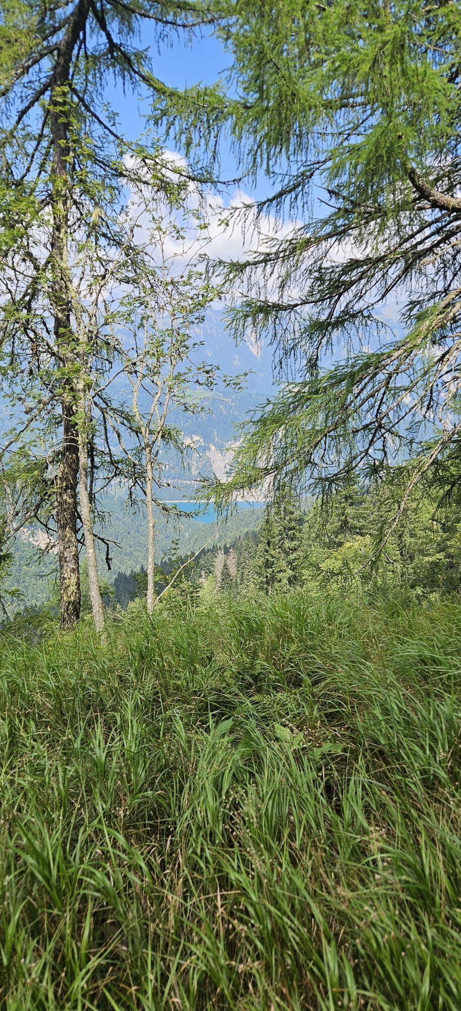
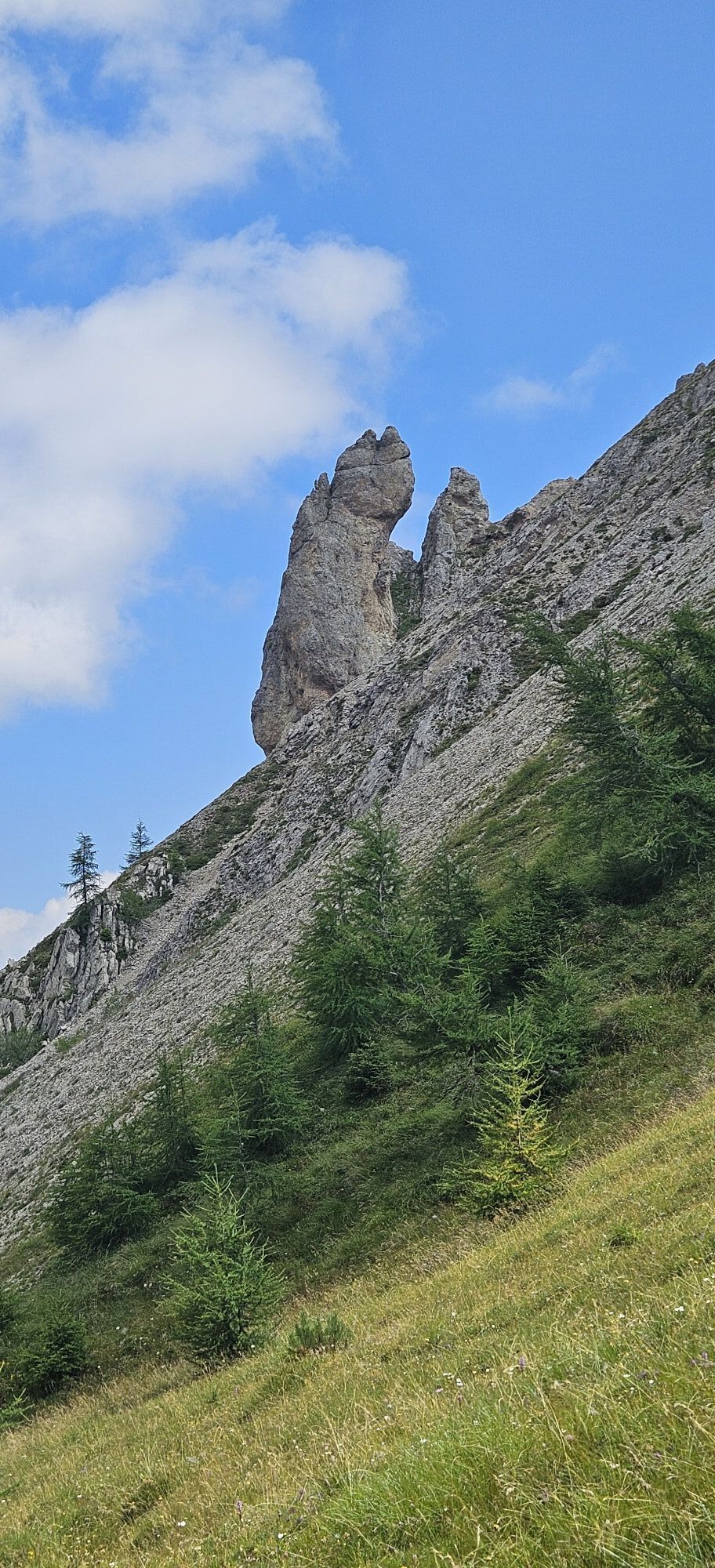
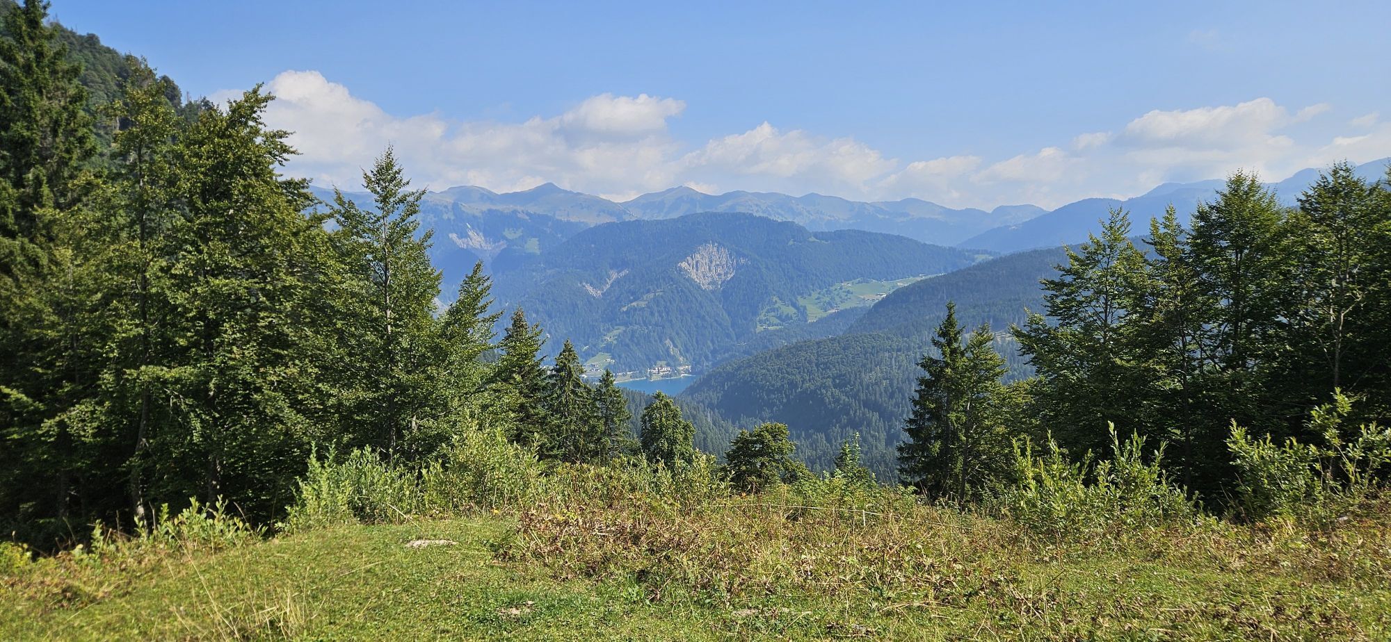
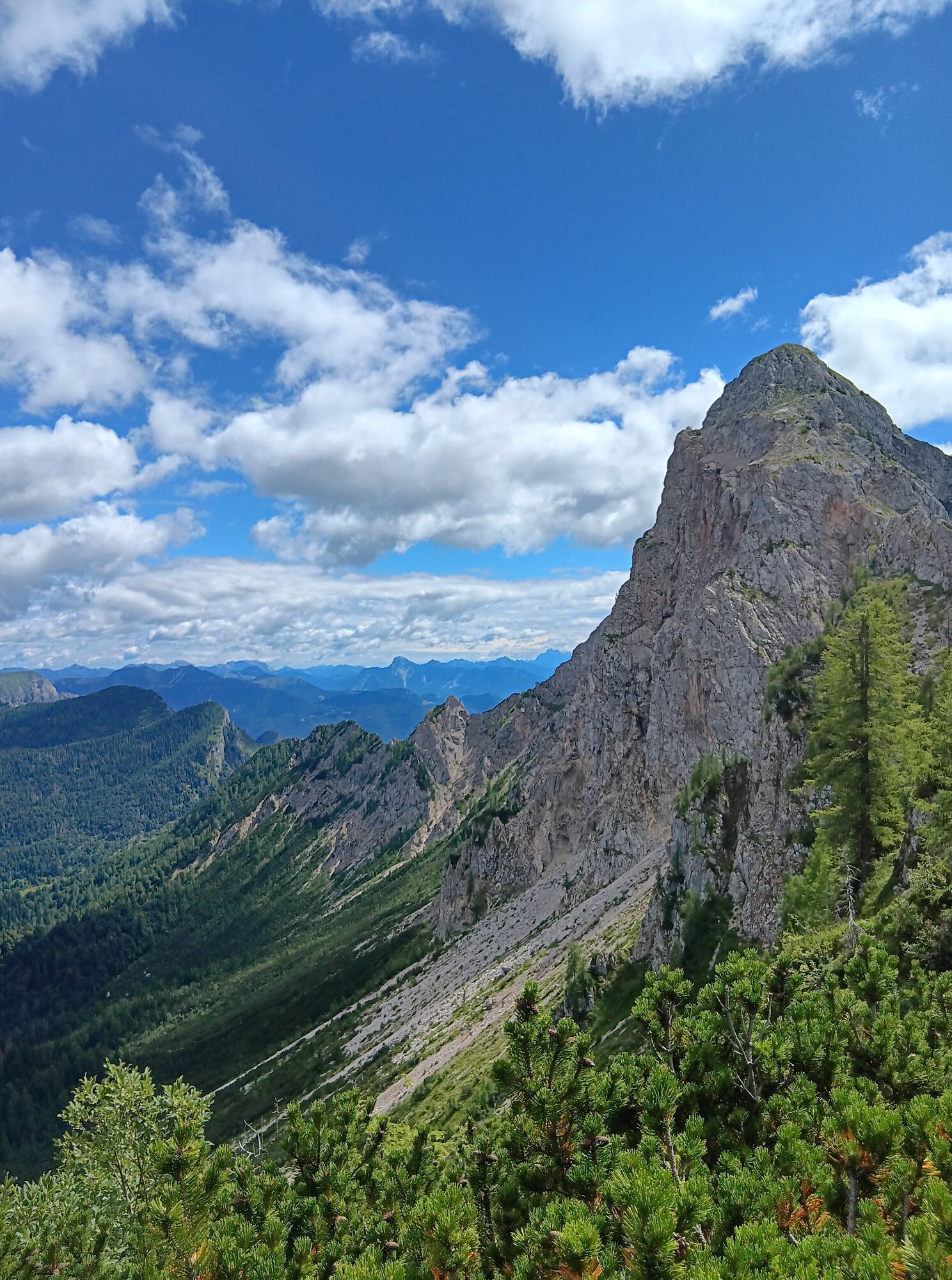
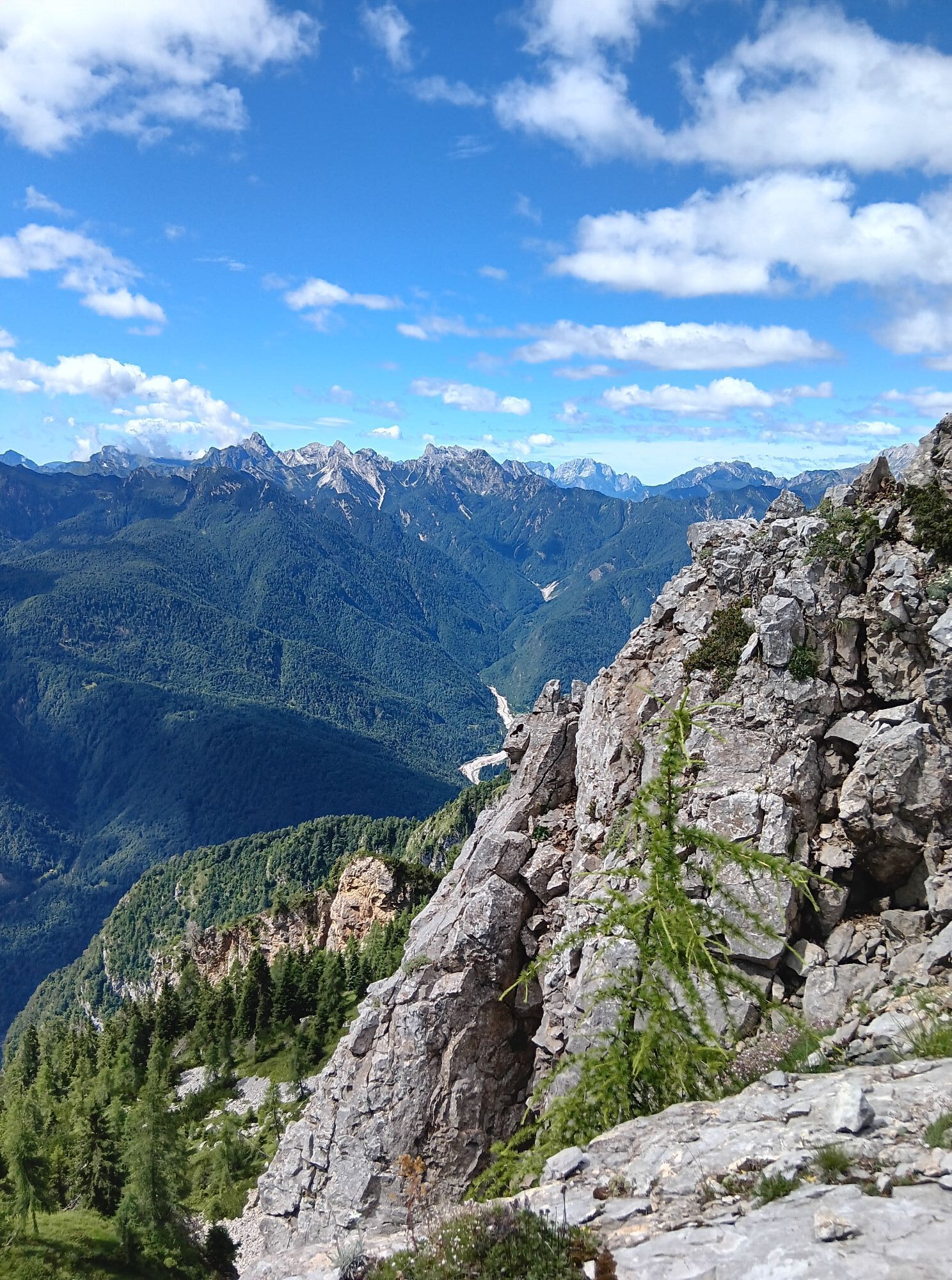
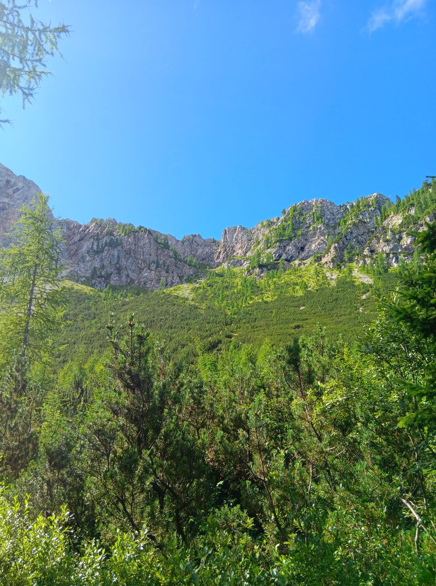
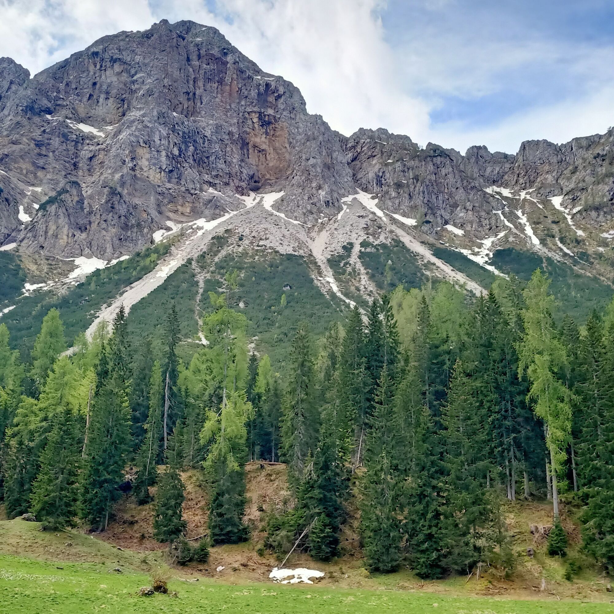
This itinerary is aimed at hikers curious to discover the thousand natural aspects of this corner of the Carnic mountains. The route, with signage and dedicated boards, initially develops on the wooded northern slopes of the Tinisa group, reaching the solitary alpine pasture of Casera Tintina. From the meadows in front of the building, the trail climbs steeply toward the northern cliffs, using a small equipped ledge to gain the meadows of the steep southern slope near a modest saddle.
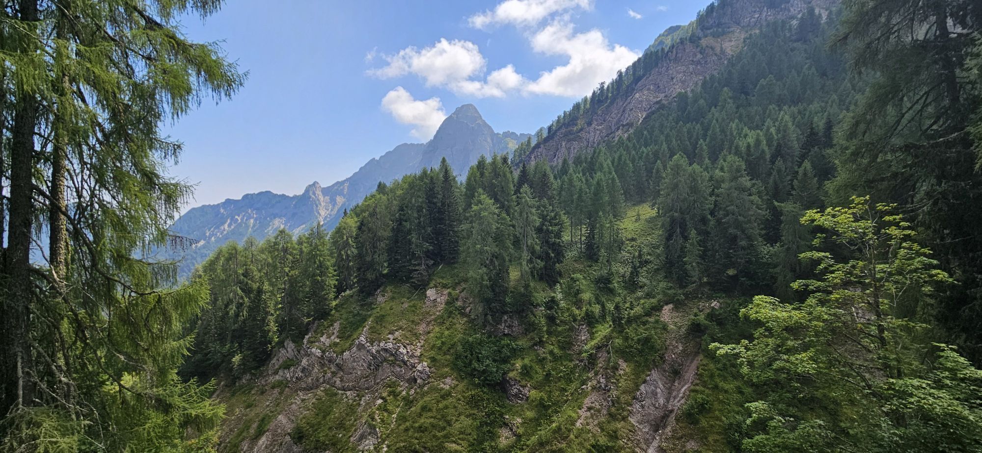
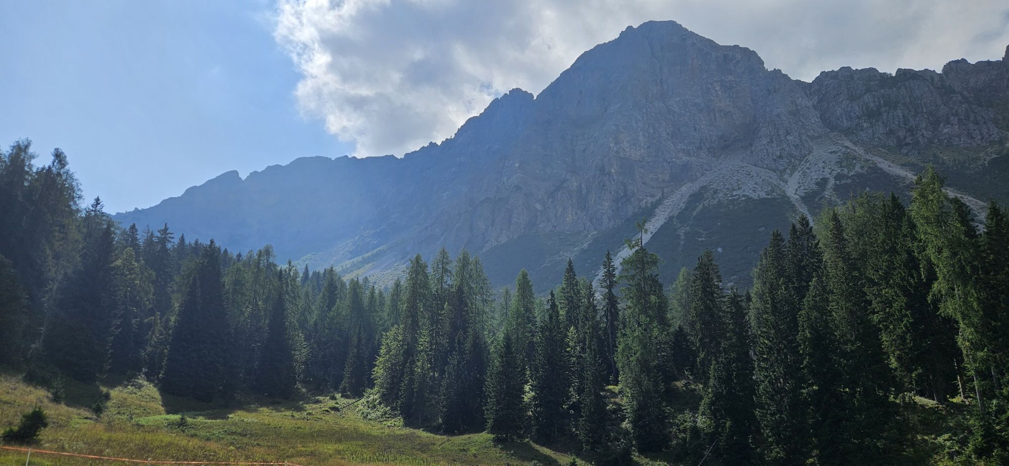
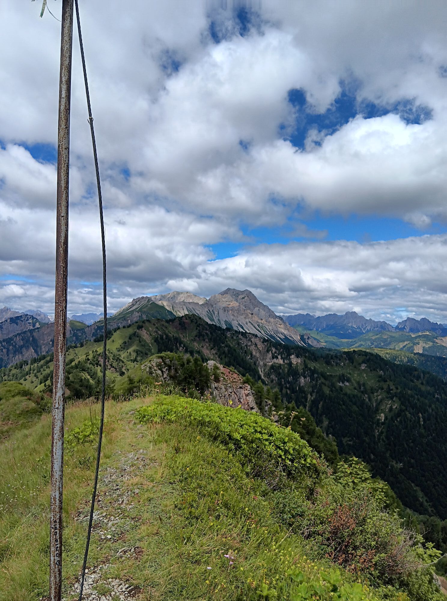
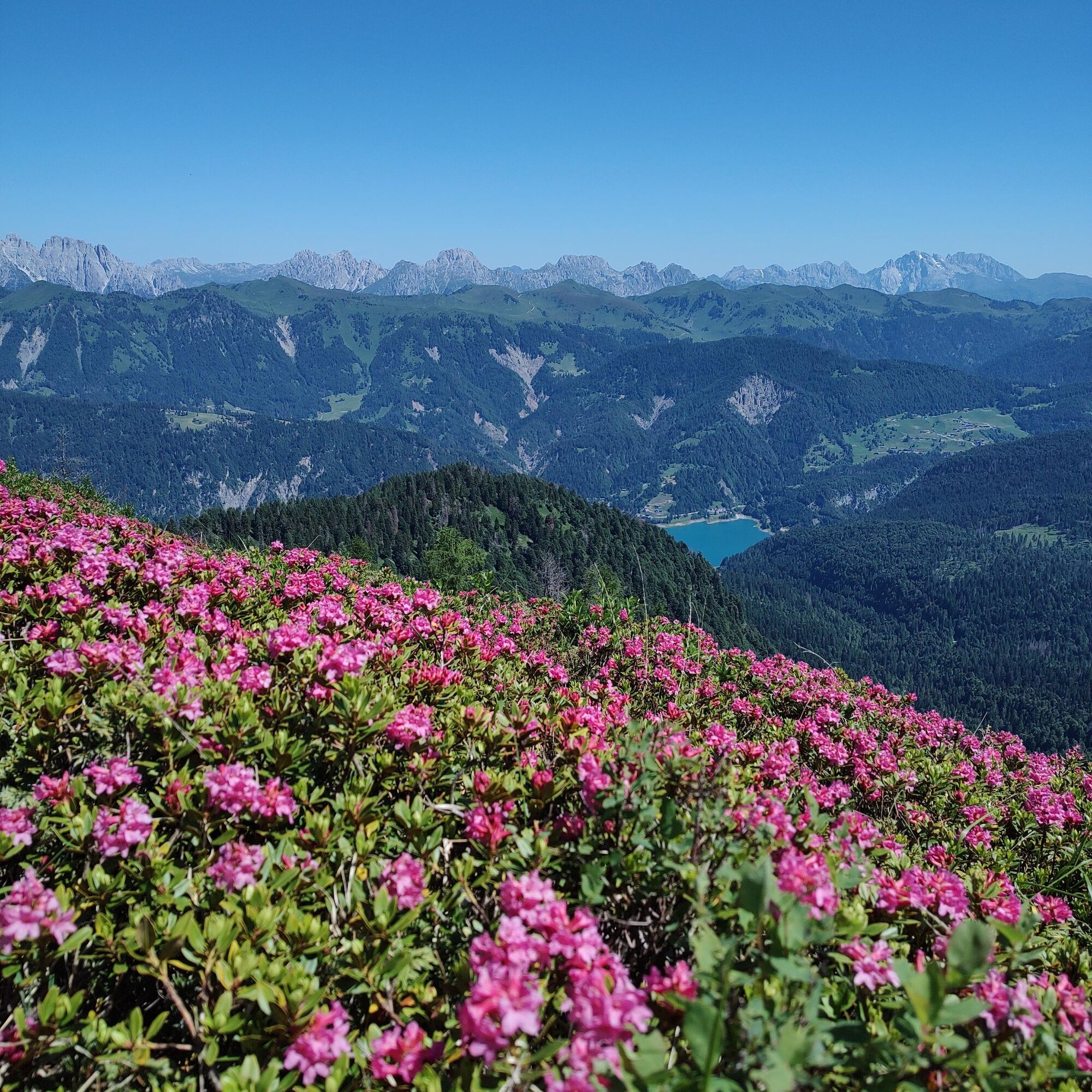
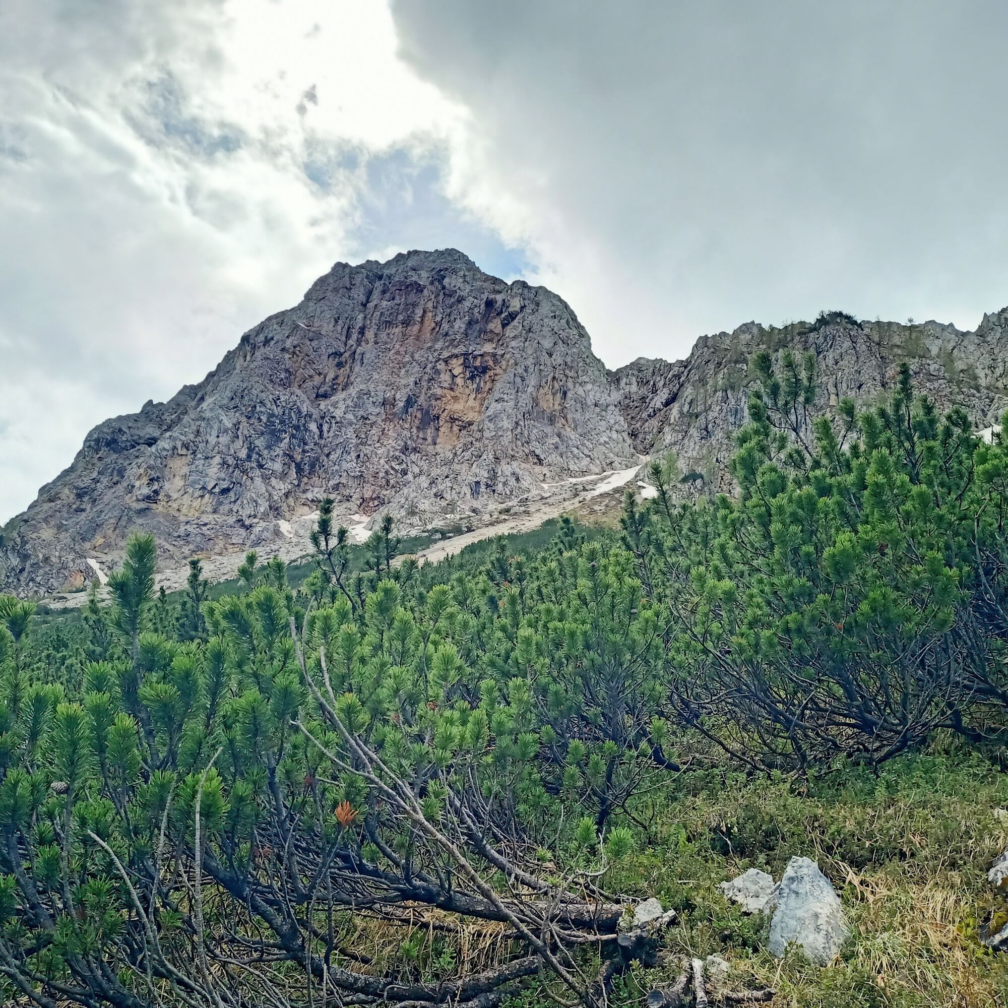
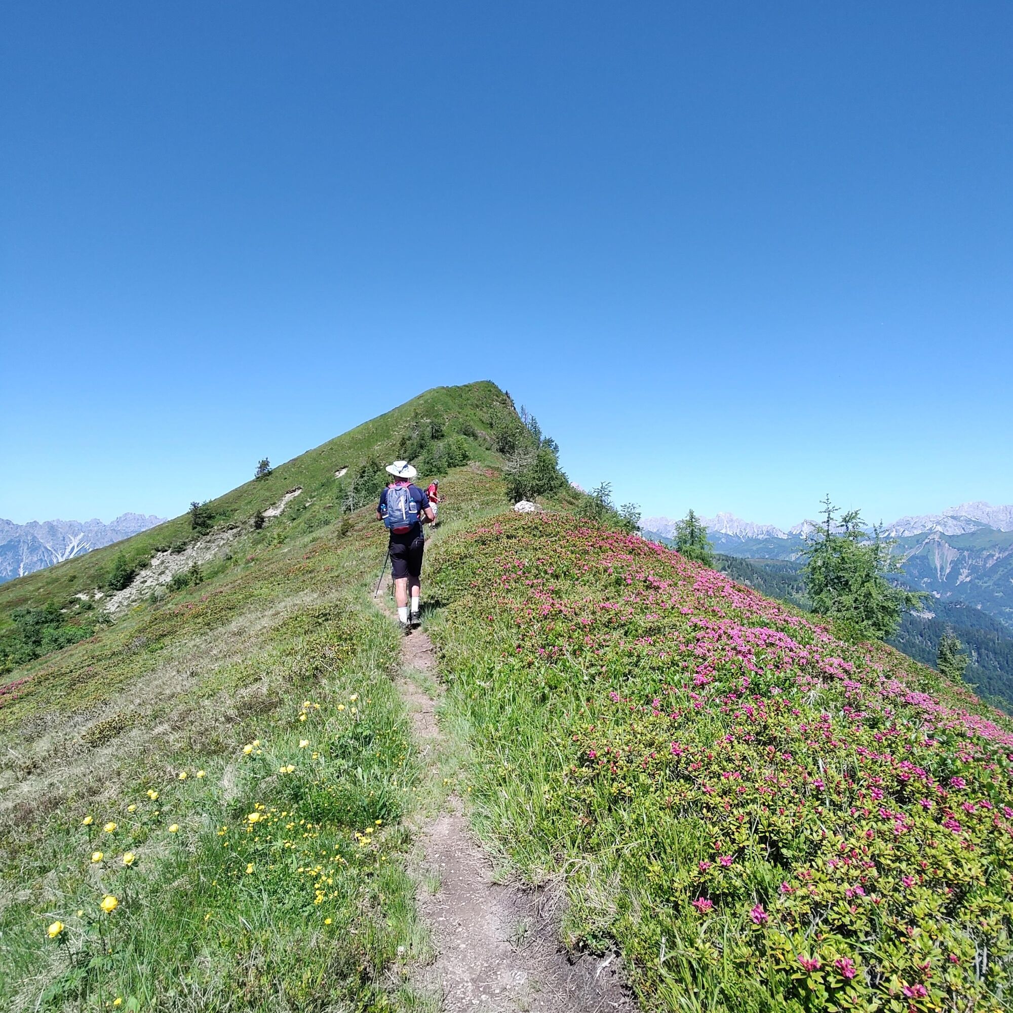
The route alternates meadows and easy ridges, reaching Punta dell'Uccel and descending to the Montof saddle with another short equipped passage.
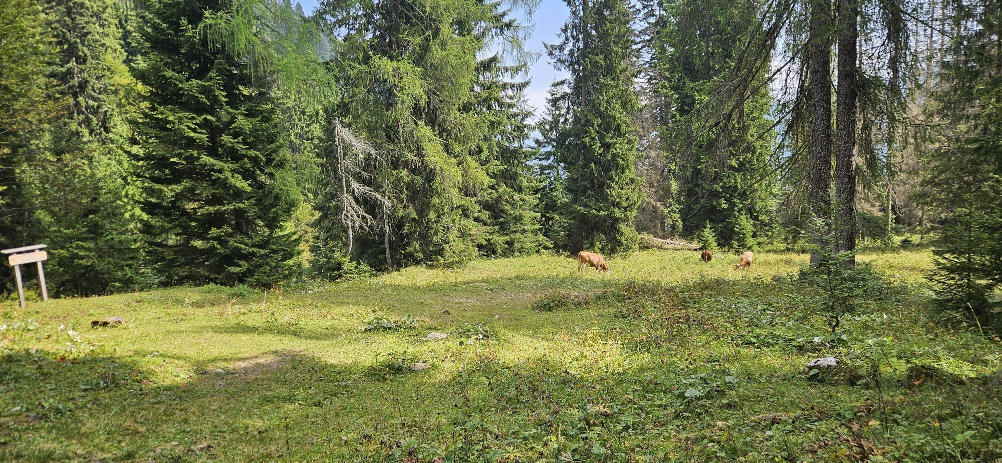
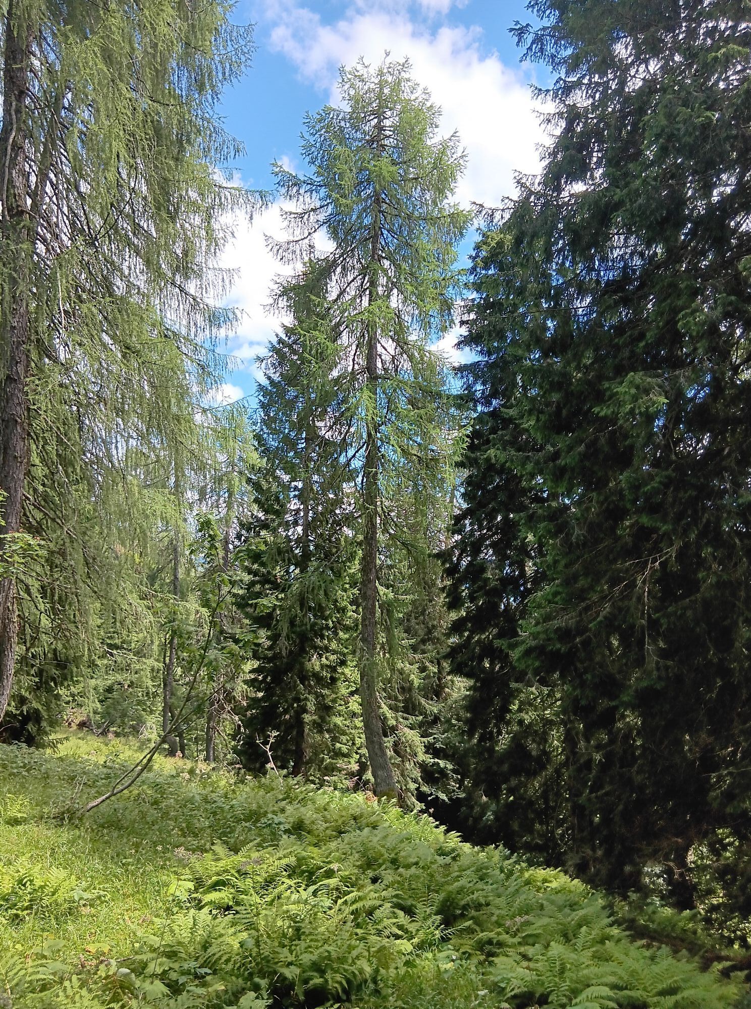
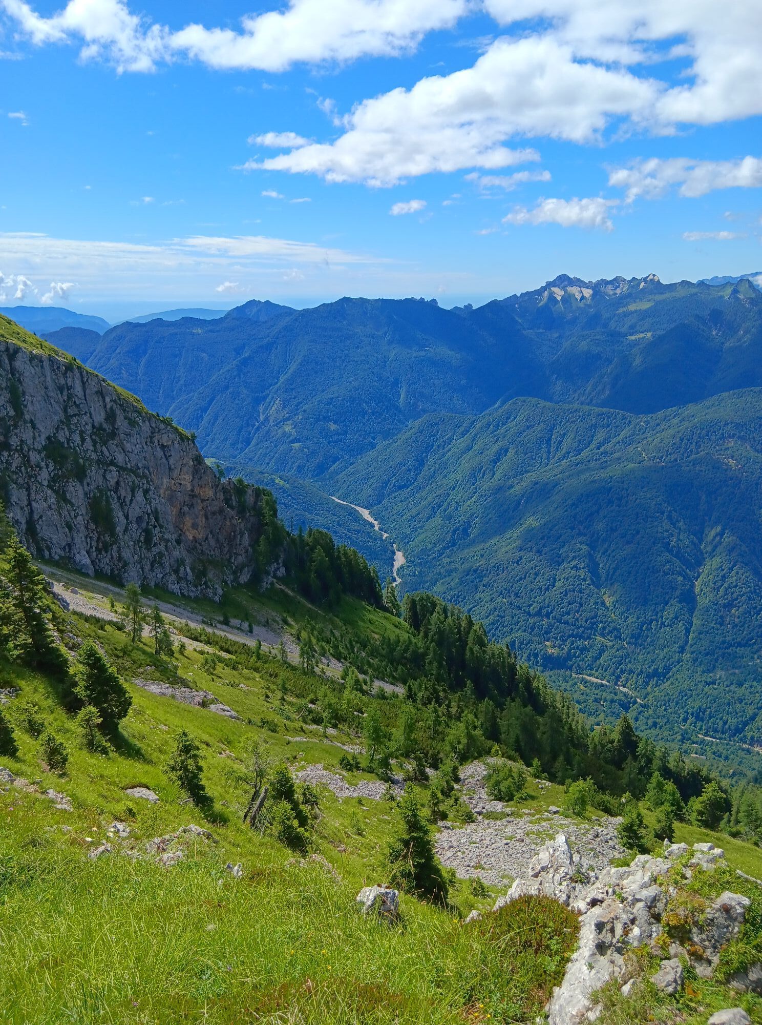
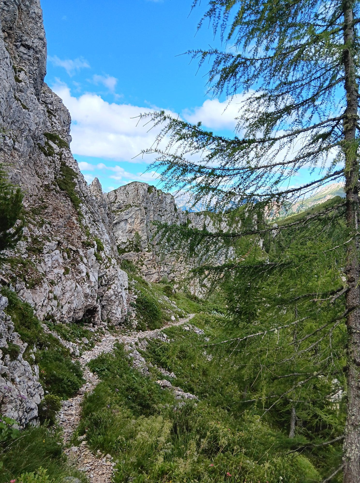
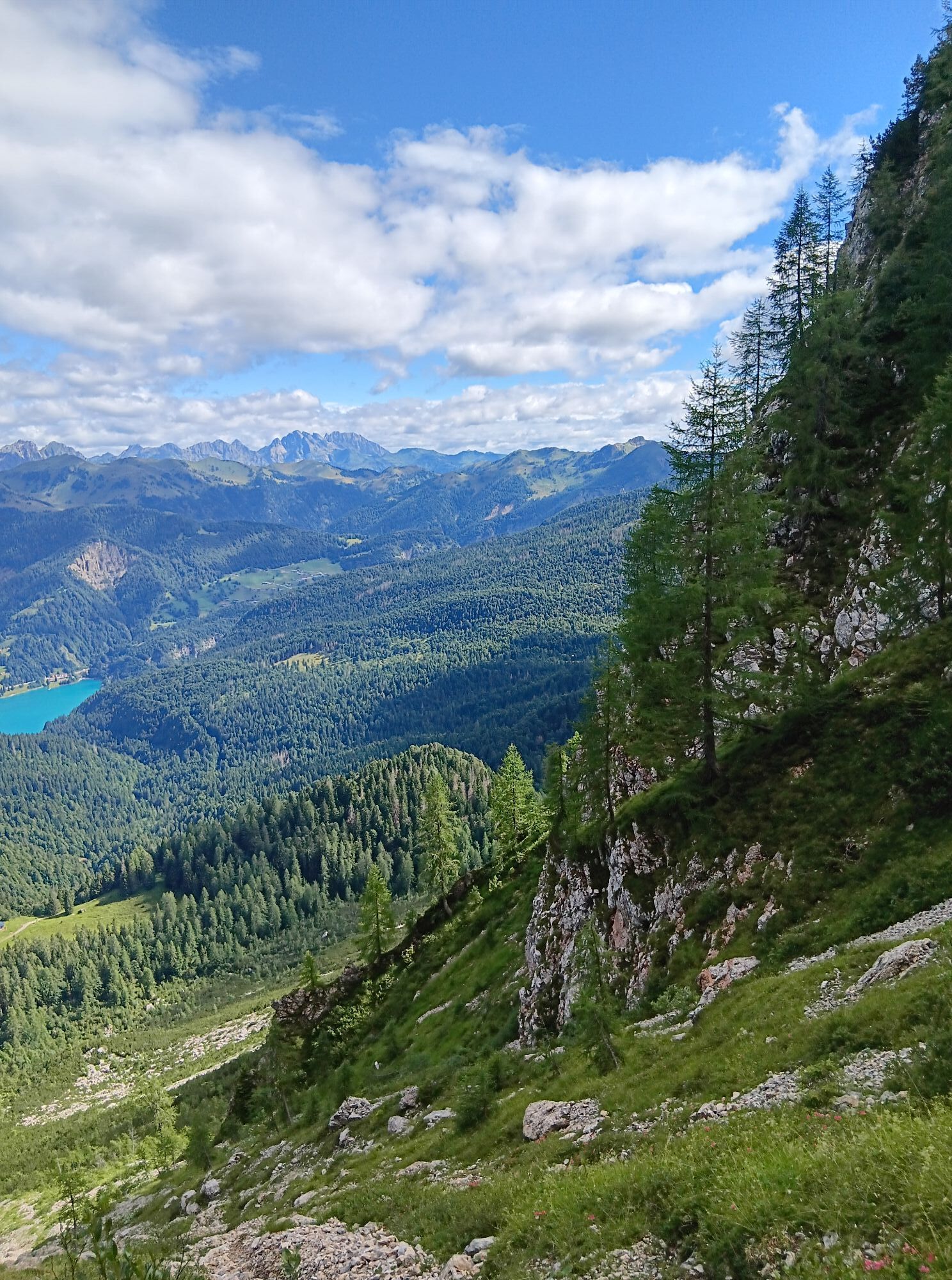
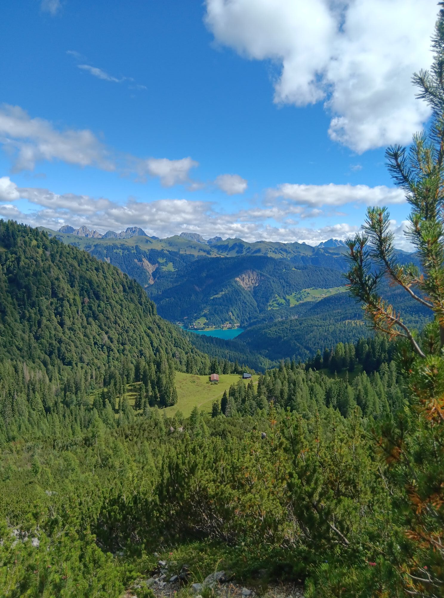
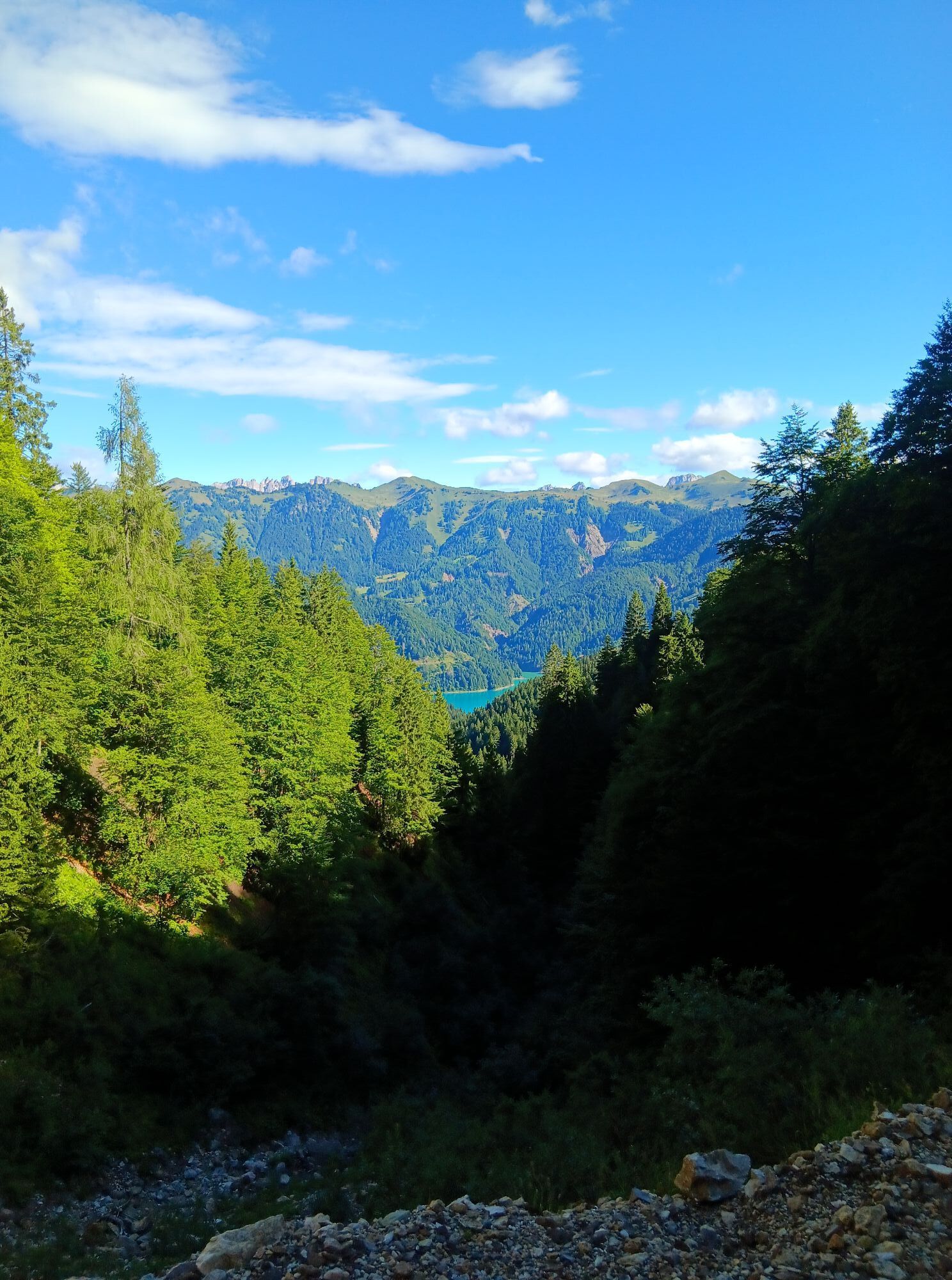
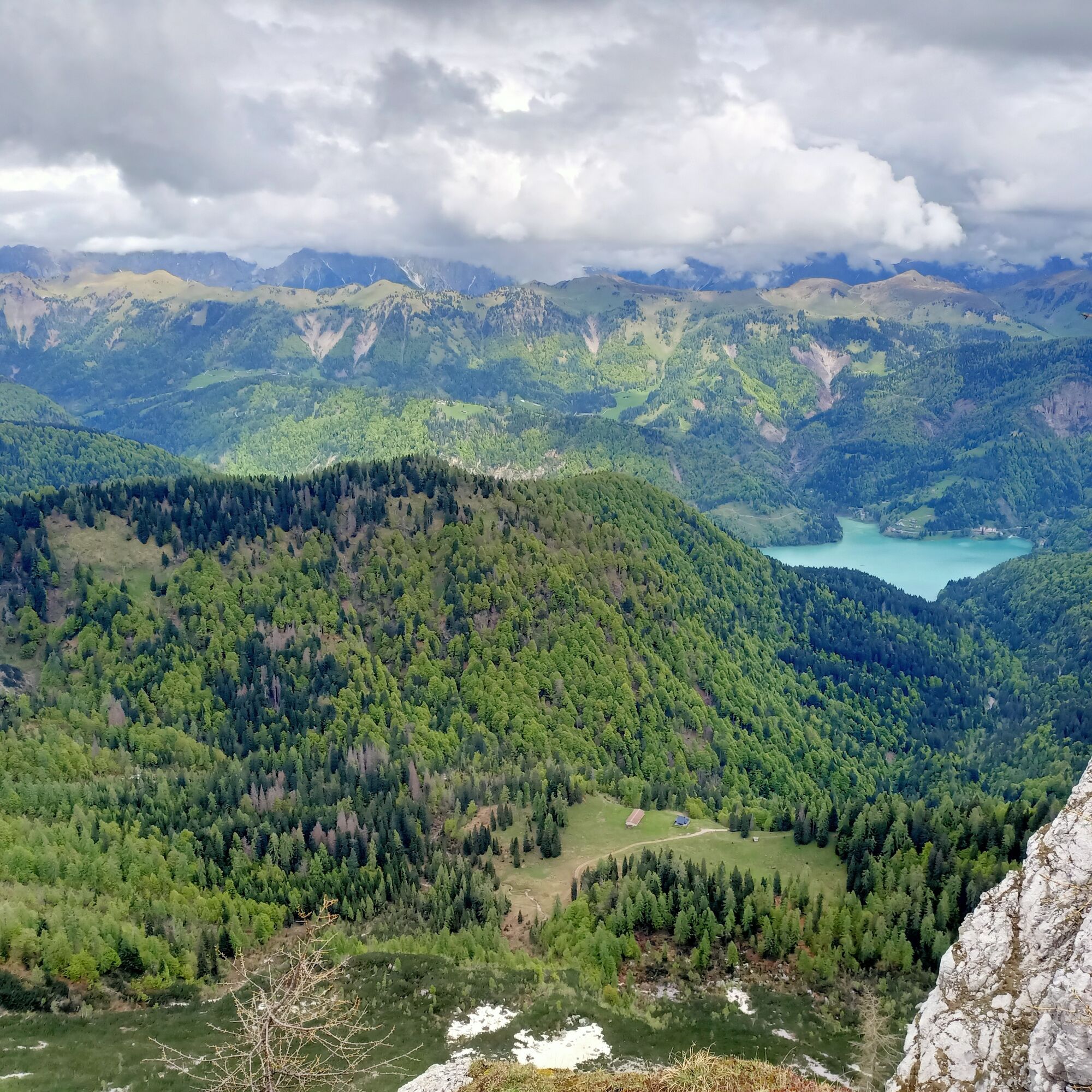
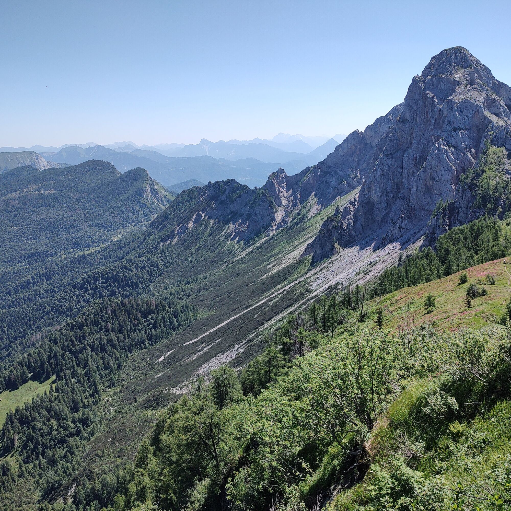
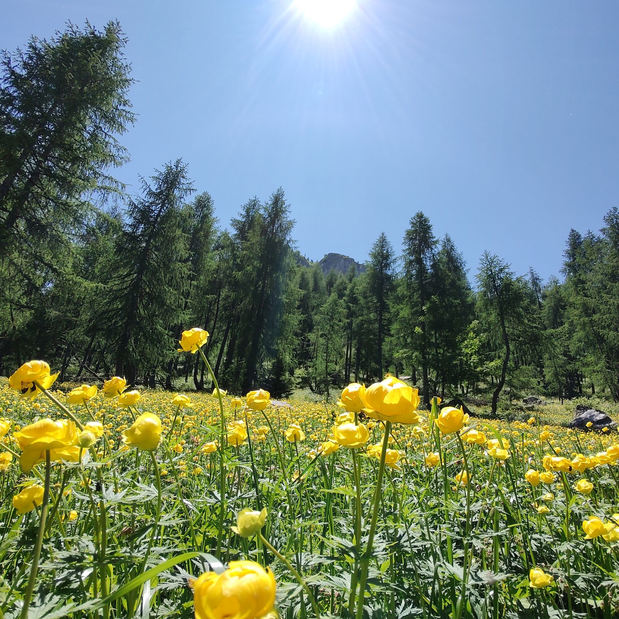
From the panoramic saddle, descend to the long wooded ridge of M. Cavallo di Cervia, where huge specimens of fir and larch accompany hikers. Descending steeply to the Tintina stream, continue through sparse forest returning again to the pasture of the hut, thus closing the loop.

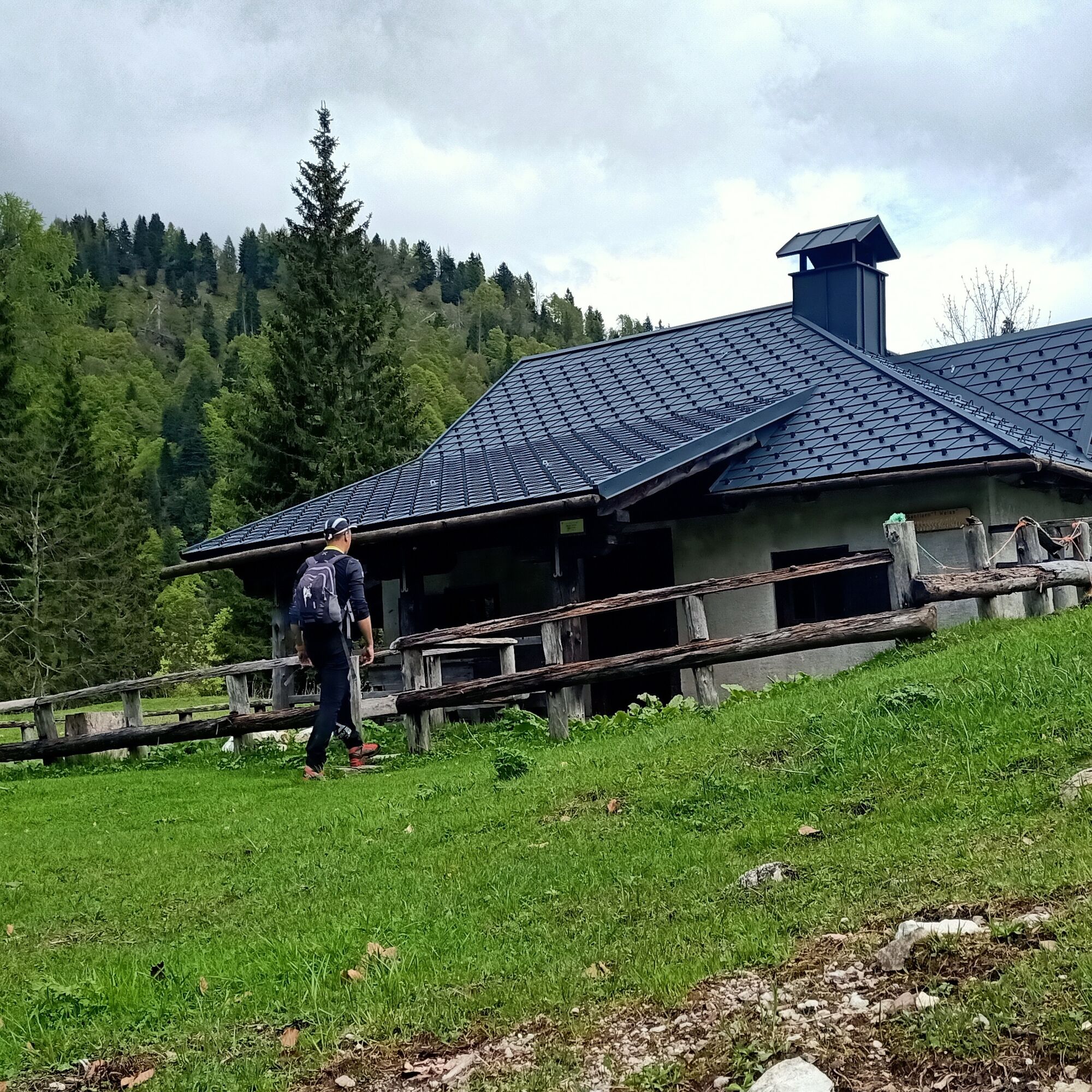
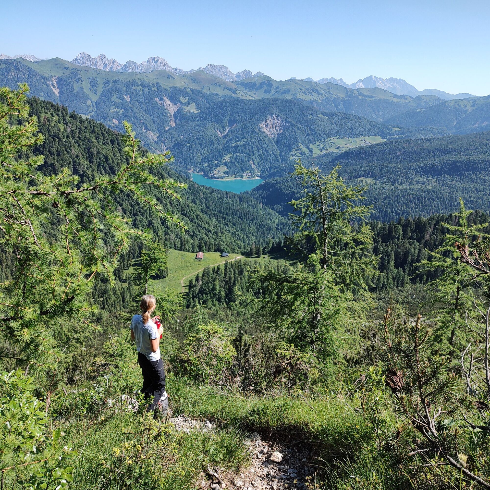
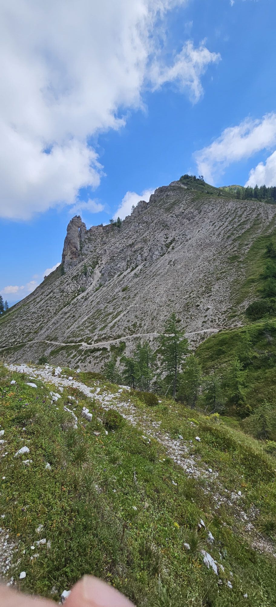
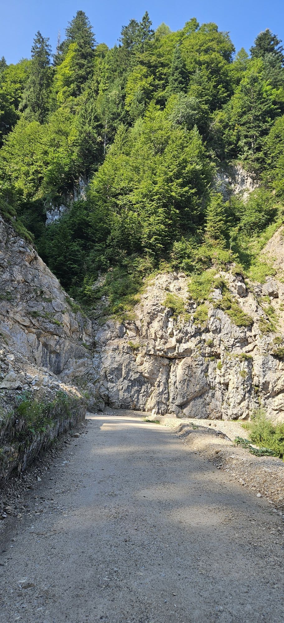
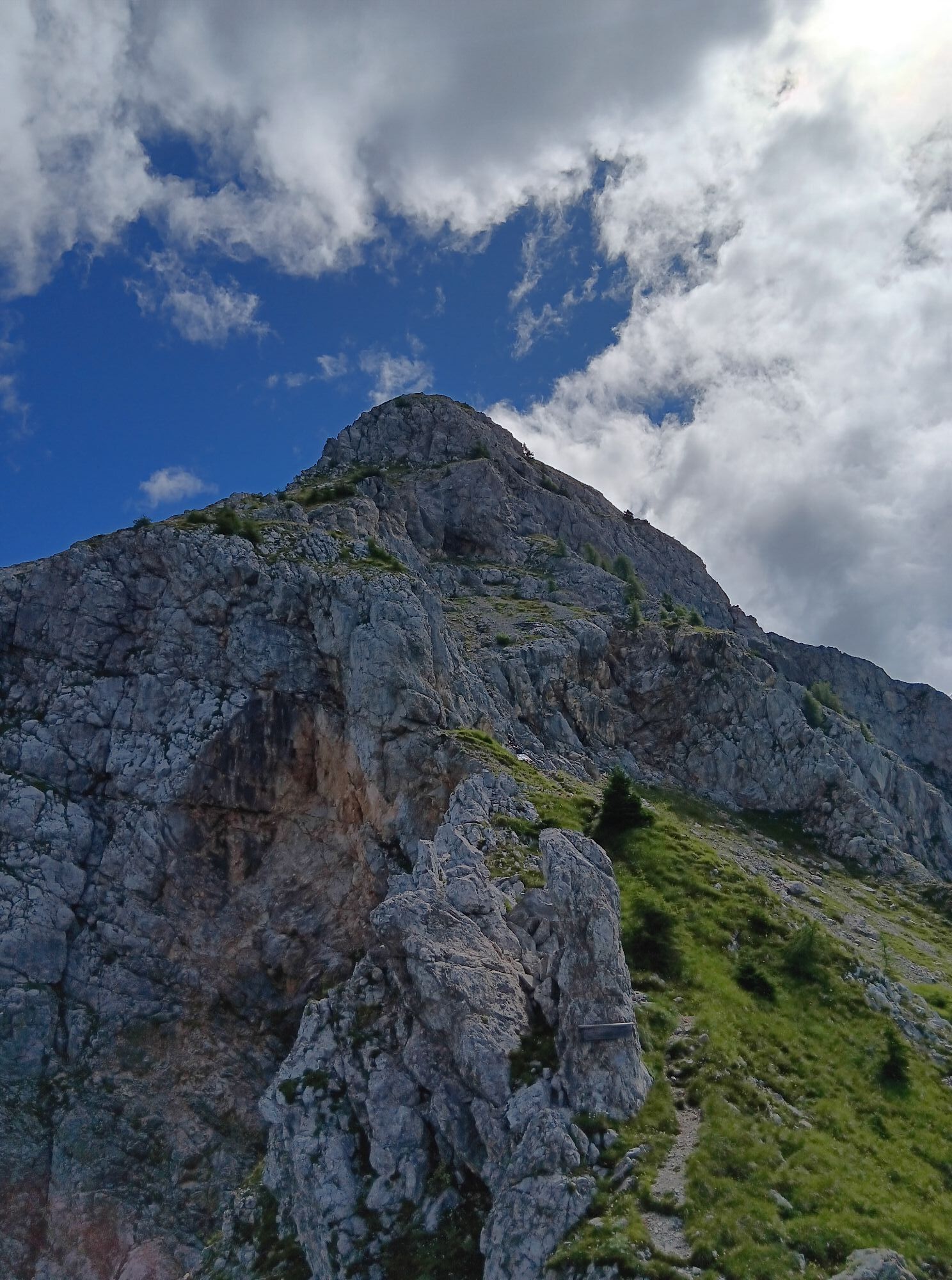
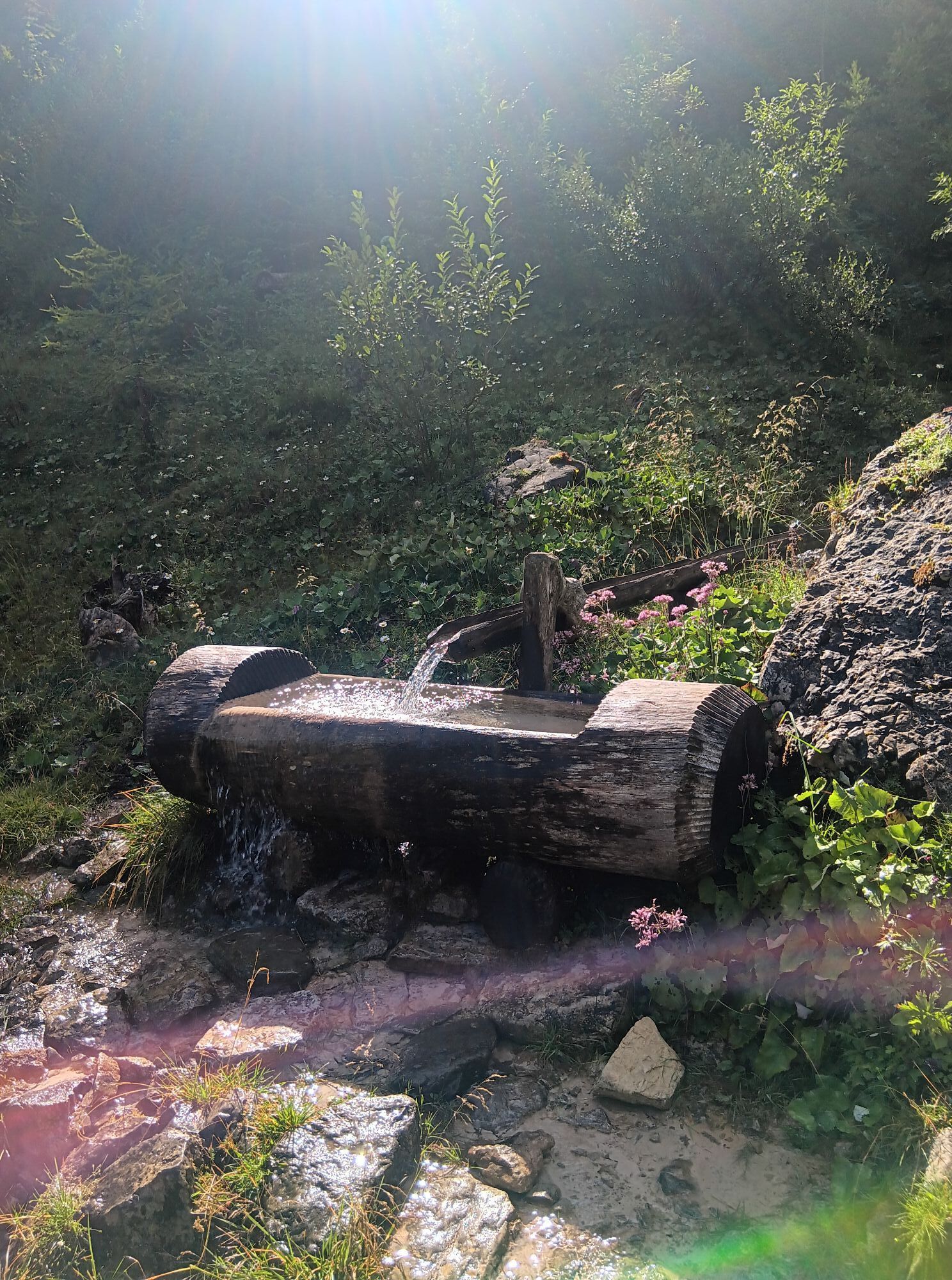
From the parking lot, follow the forest road that leads to Casera Tintina with numerous ups and downs. In the large meadow, just beyond the hut and near a modest stream, turn left following the steep path that climbs laboriously through the dwarf pines on the northern slope of the ridge. Near the watershed, a short equipped section helps to overcome a narrow and exposed passage.
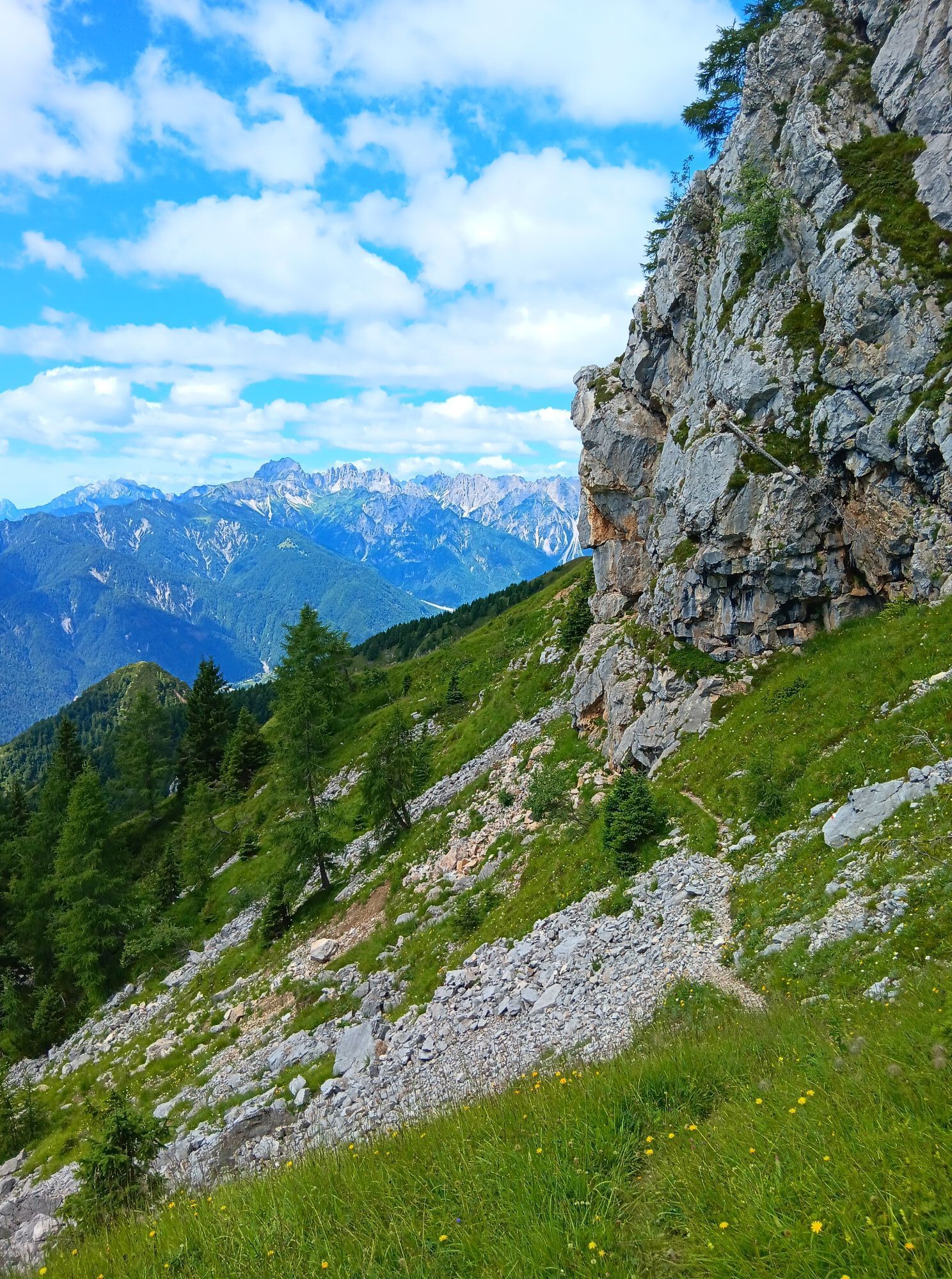
On the south side, proceed directly downhill keeping constantly to the right and skirting the upper cliffs. Along comfortable and panoramic ridges, reach Punta dell'Uccel and descend to the Montof saddle.
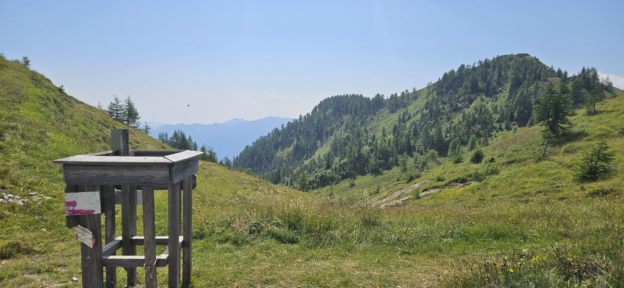
From the wide saddle, following the signs (to the right), cross downhill a long meadow entering the forest along the ridge of M. Cavallo di Cervia. At a votive niche, proceed straight ahead (the old route used to turn right here) until a trail sign points downward into the beech and fir woods.
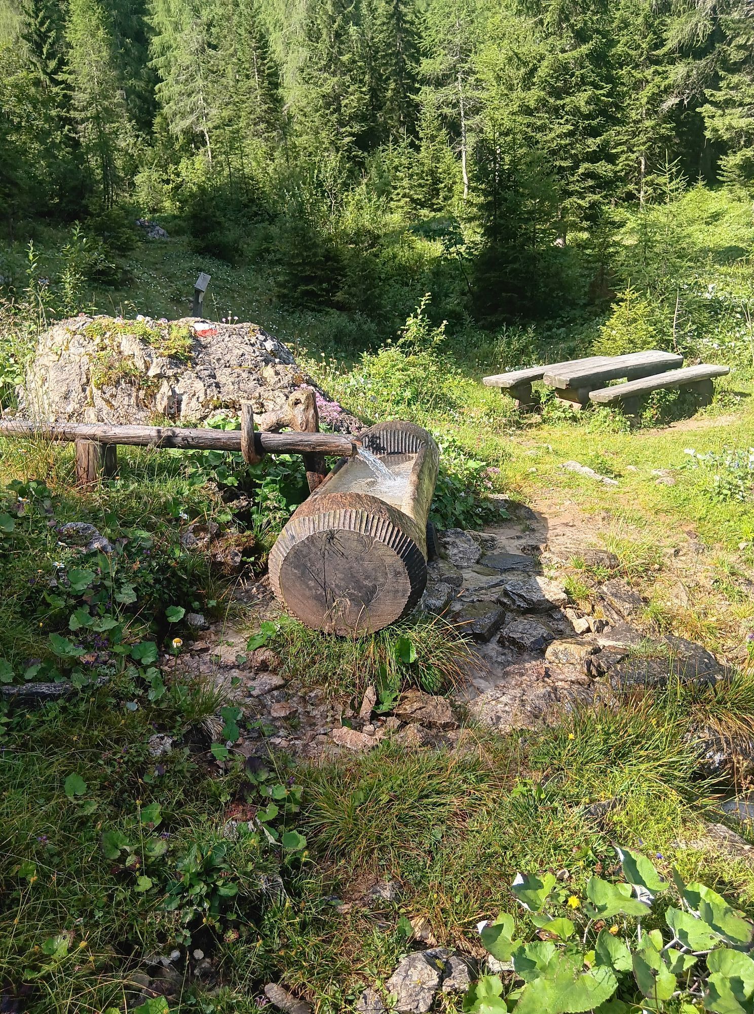
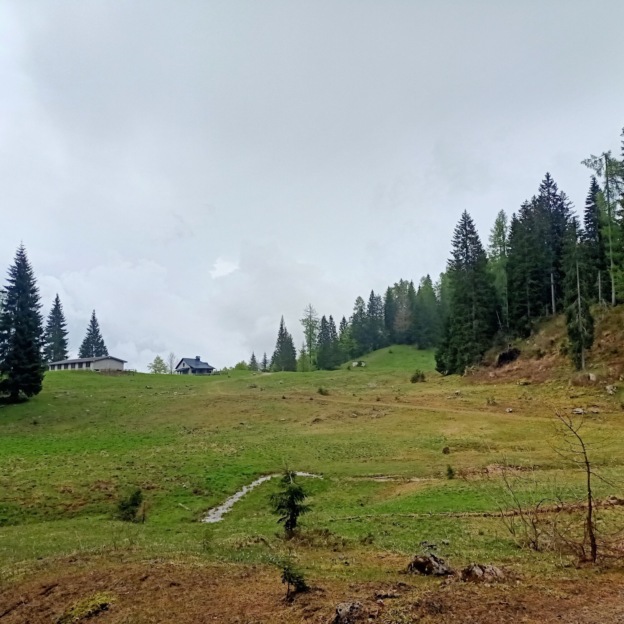
Once you reach and cross the stream, continue on the forest track that shortly leads back to the hut and from there to the parking lot.
Tak
Tak
Standard hiking
The two short equipped sections (one near the first saddle and the other on the descent from Punta dell'Uccel to the Montof saddle) do not require the use of a via ferrata kit but are reserved for experienced hikers E.E.
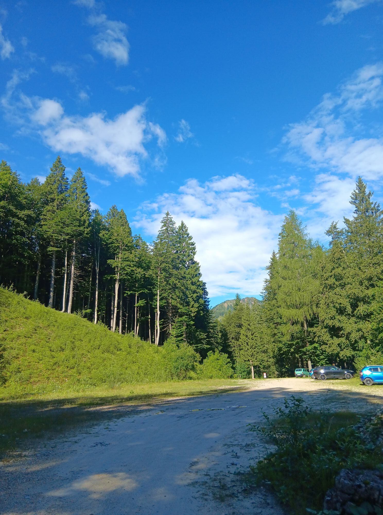
The starting point of the hike is reached by following the SS 52 Carnica road from Ampezzo towards Forni di Sopra. Shortly after the Al Pura restaurant, after a left hairpin bend, take the paved road to Passo Pura on the right, which should be followed for 9 km until reaching the wide saddle of the pass. After passing the Tita Piaz refuge and the Baita Torino, after a hairpin bend, take the dirt road on the left leading shortly to a large gravel clearing in the forest. Parking is possible near the picnic table.
The parking lot can also be reached from the Lumiei valley by taking the turnoff to the road climbing to Sauris near the Lumiei dam; in this case, crossing the dam crest and through the subsequent tunnels, keep to the main road leading up to Passo Pura (shortly before take the dirt road on the right).
No public transport
Large parking lot on the forest road leading to Casera Tintina, just before the no-entry sign
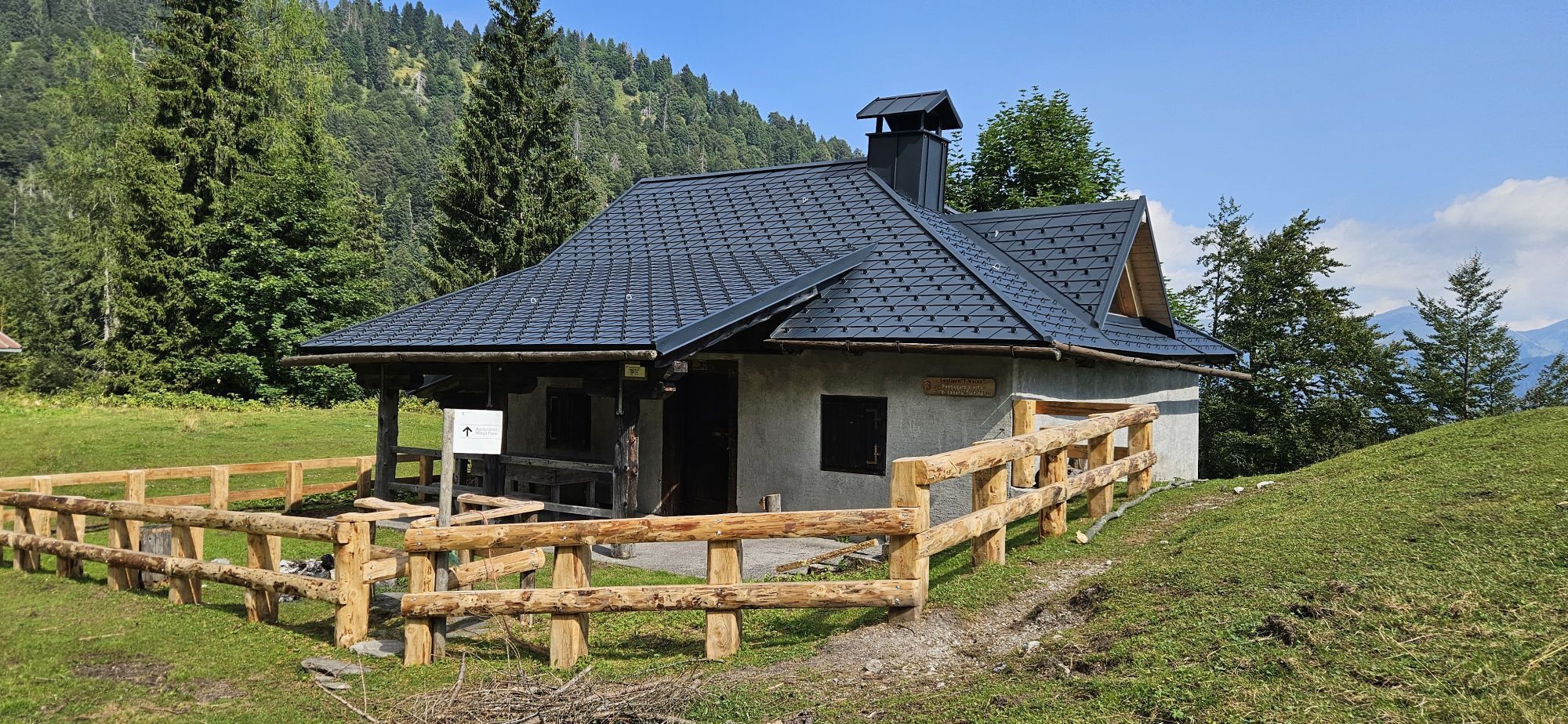
Casera Tintina can be used as an emergency bivouac as it is always open.
The ascent from Tintina to the saddle is reserved for experienced hikers due to the very exposed section before the saddle.
Popularne wycieczki w okolicy
PATH OF THE POZZE SMERALDINE
światłoWędrówka 6,77 km- 4,0
Mounts Bivera and Clap Savon from Casera Razzo, alpine ride
ciężkiWędrówka 20,5 km - 5,0
Pani loop
światłoWędrówka 6,26 km - 5,0
Wśród wiejskich wiosek na wzgórzach Carnic
światłoWędrówka 9,23 km The multicolored campanili of Mount Zauf
średniWędrówka 14,2 kmUrtisiel and Canpuros, Dolomitic wonders
średniWędrówka 13,5 kmColmajer ridge loop
średniWędrówka 7,51 kmOd przełęczy Rest do trasy panoramicznej Rest Mountain
średniWędrówka 7,72 km- 5,0
STRADA DA LIS FORNAS TRAIL
światłoWędrówka 5,77 km FRASSANEIT AND LAGO DEL CIUL
średniWędrówka 11,4 km
Wędrówki i tropienie


Nie przegap ofert i inspiracji na następne wakacje
Twój adres e-mail została dodana do listy mailingowej.