






From Sella Chianzutan to Colle dei Larici, the route of red marble

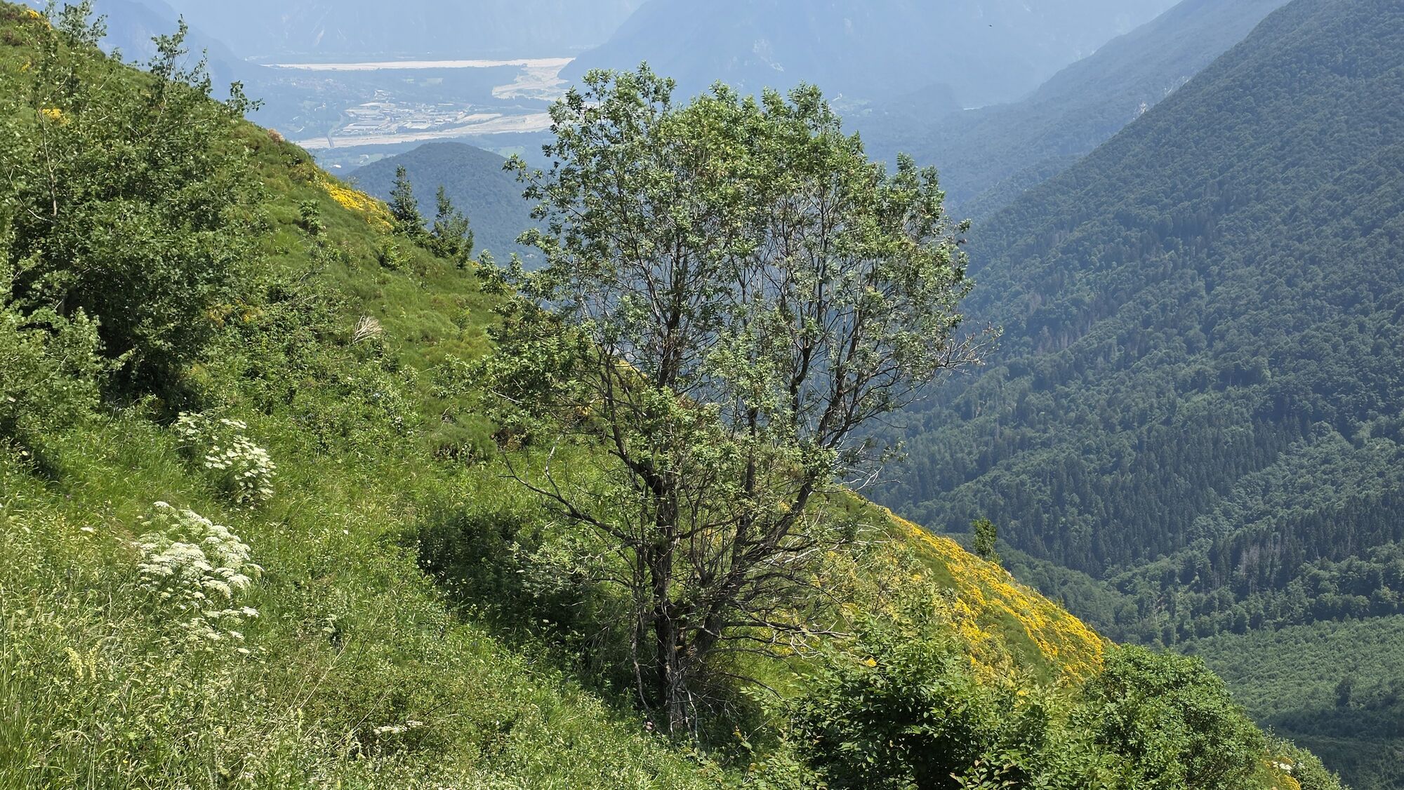
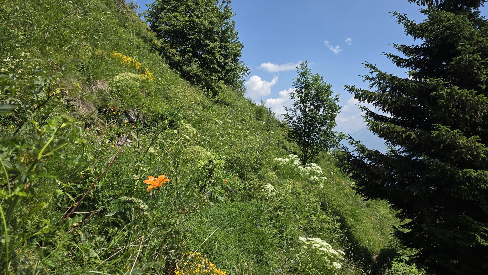
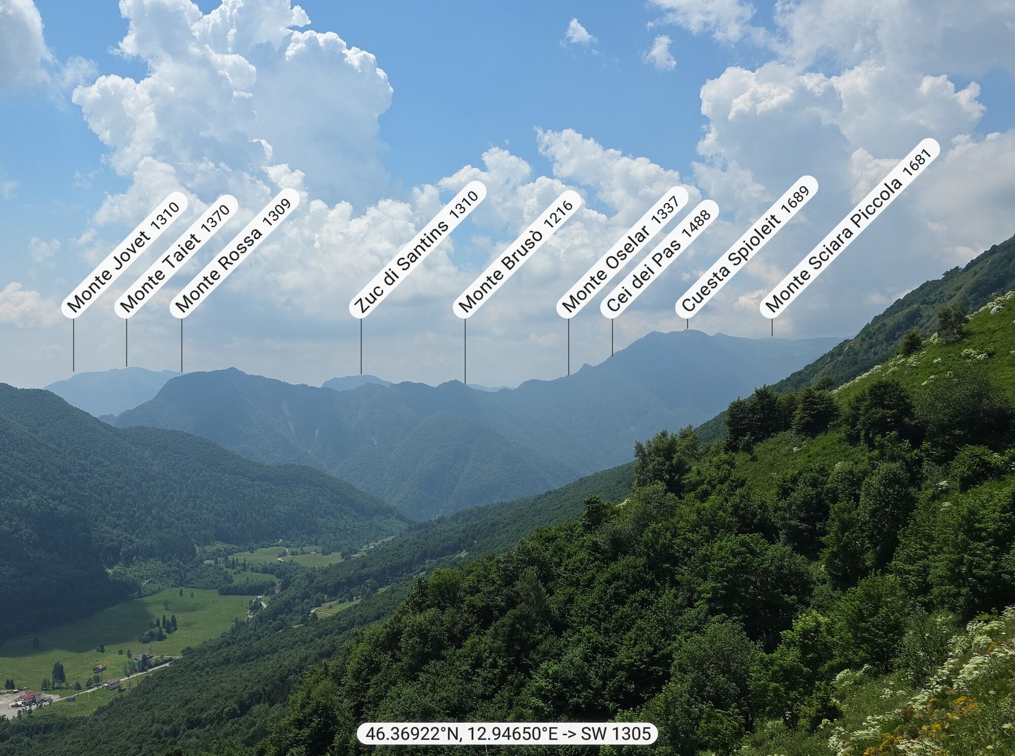
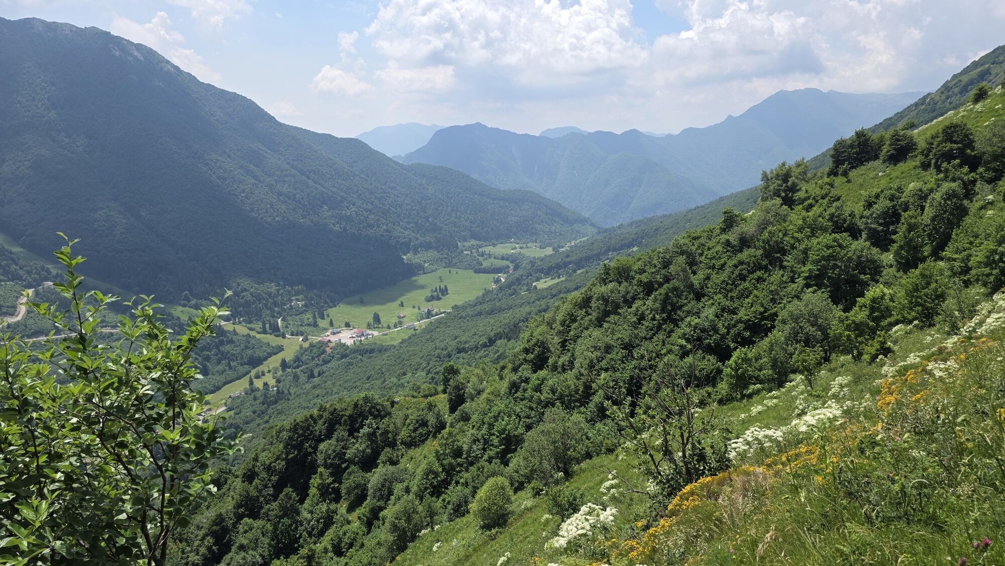
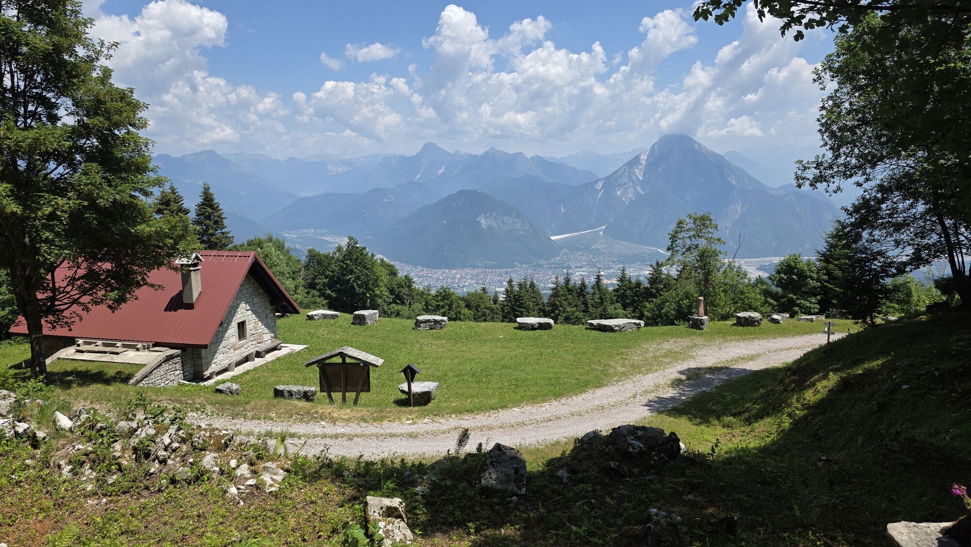
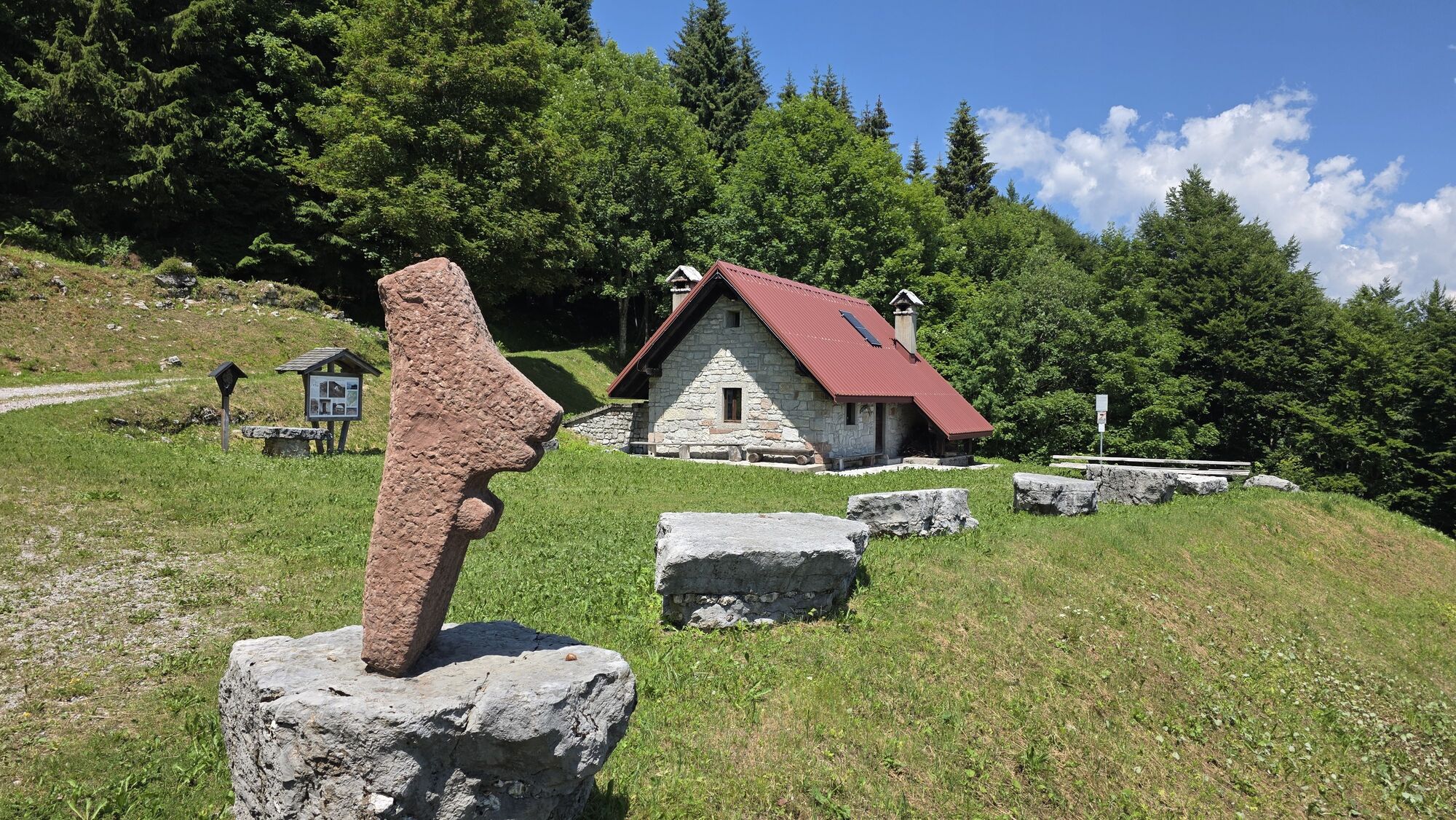
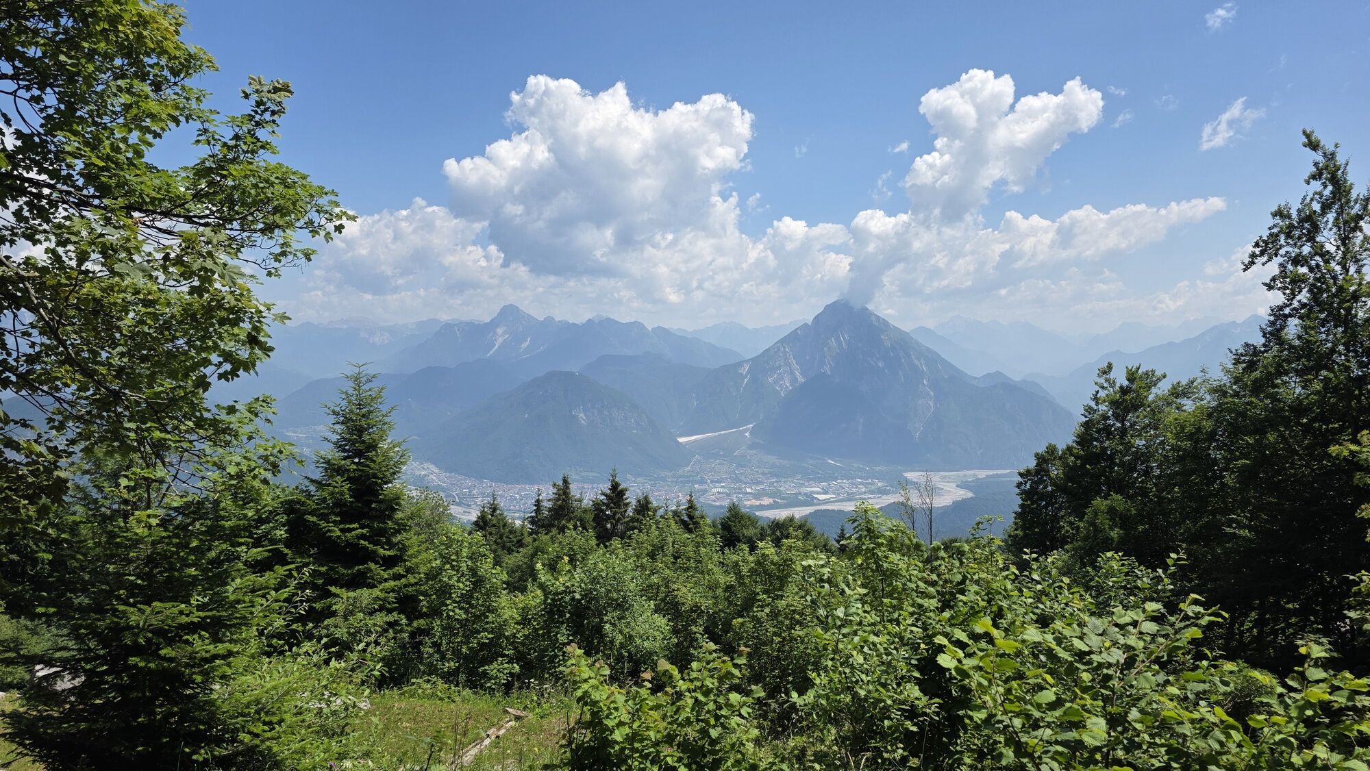
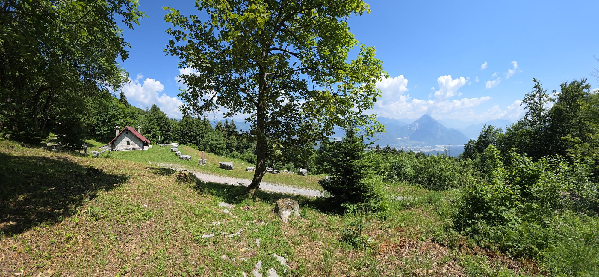
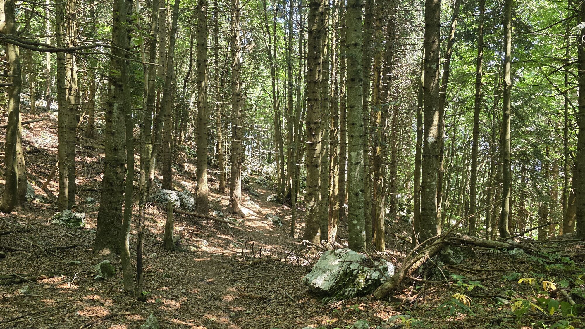
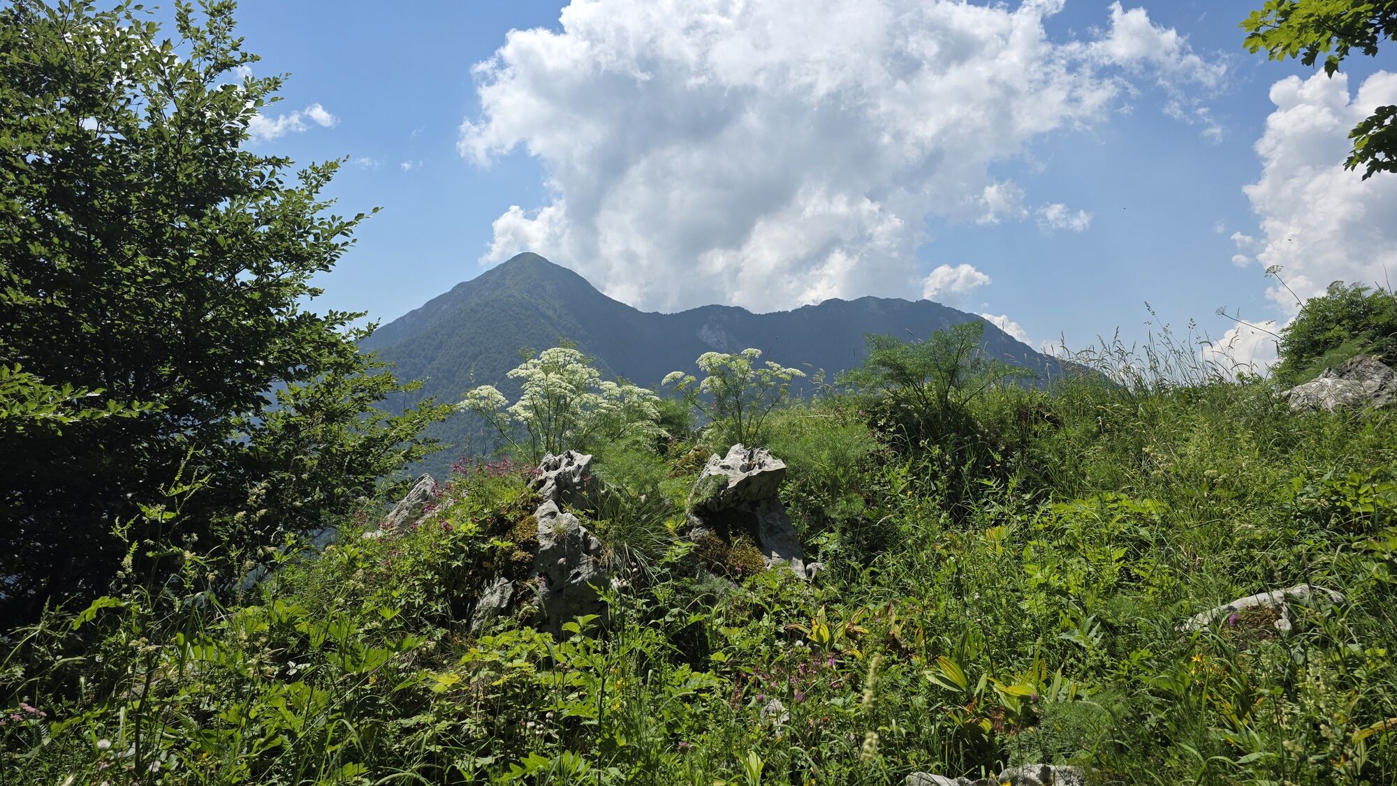
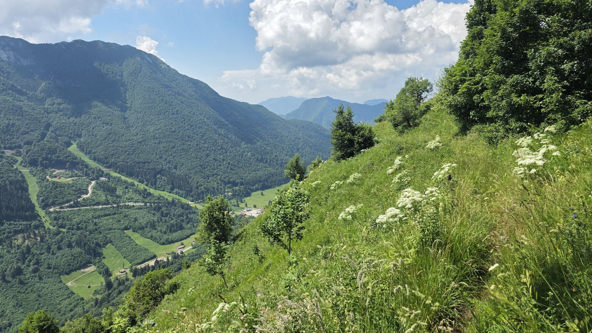
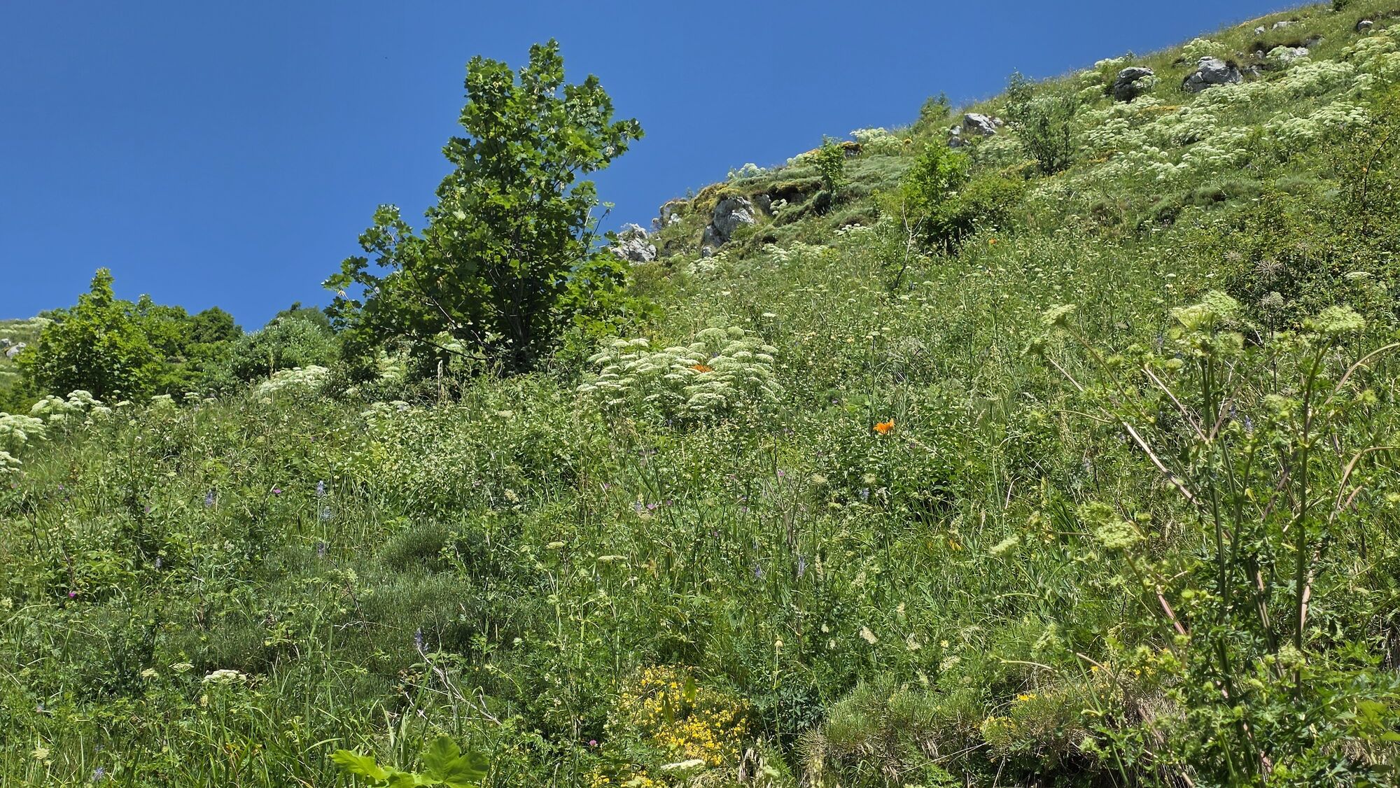
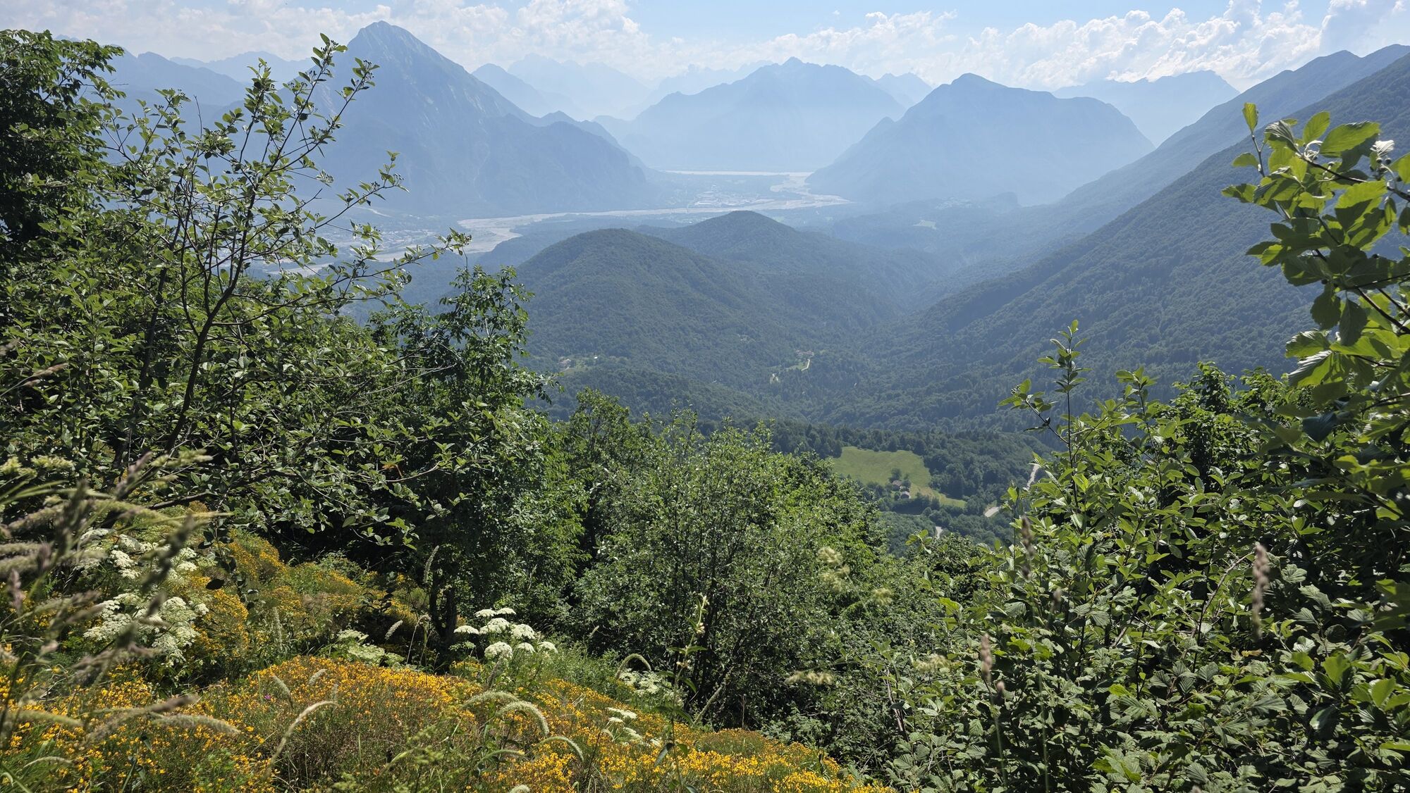
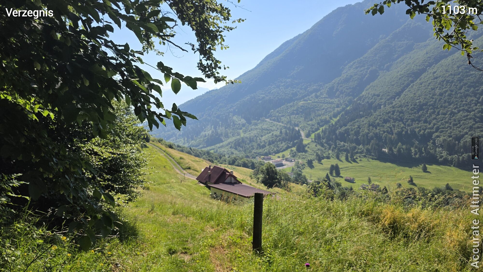
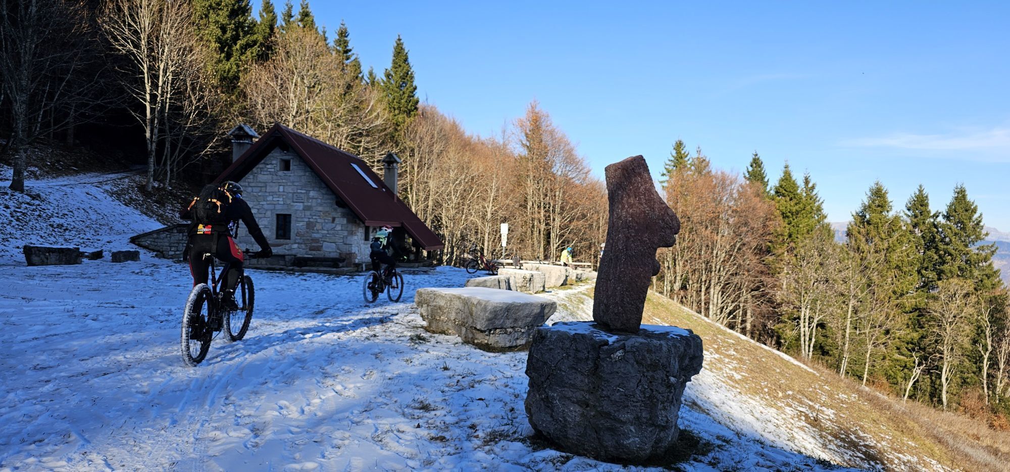
A route combining interesting natural and human aspects.
The start is at the pass of Sella Chianzutan, between Val Tagliamento and Val Arzino. The ascent climbs the wooded slopes of Colle dei Larici near...
A route combining interesting natural and human aspects.
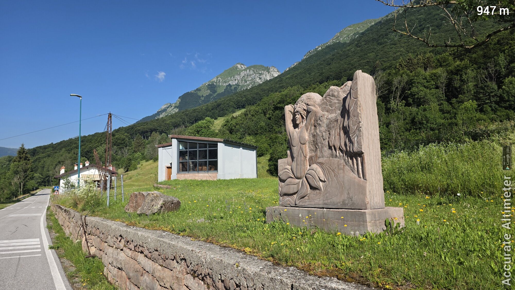
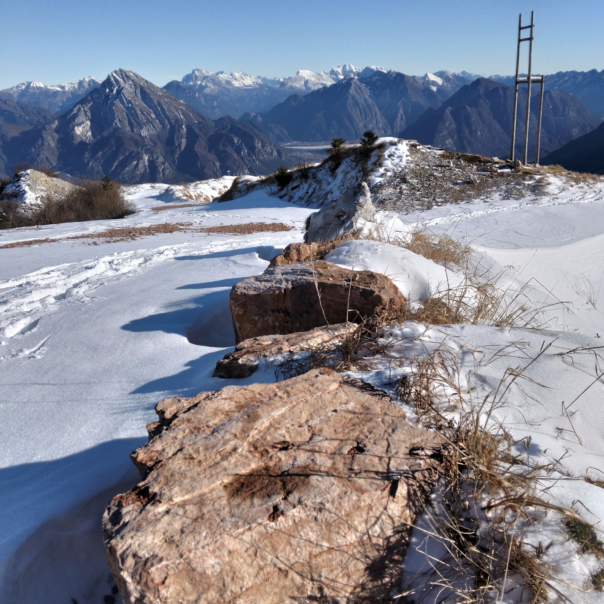
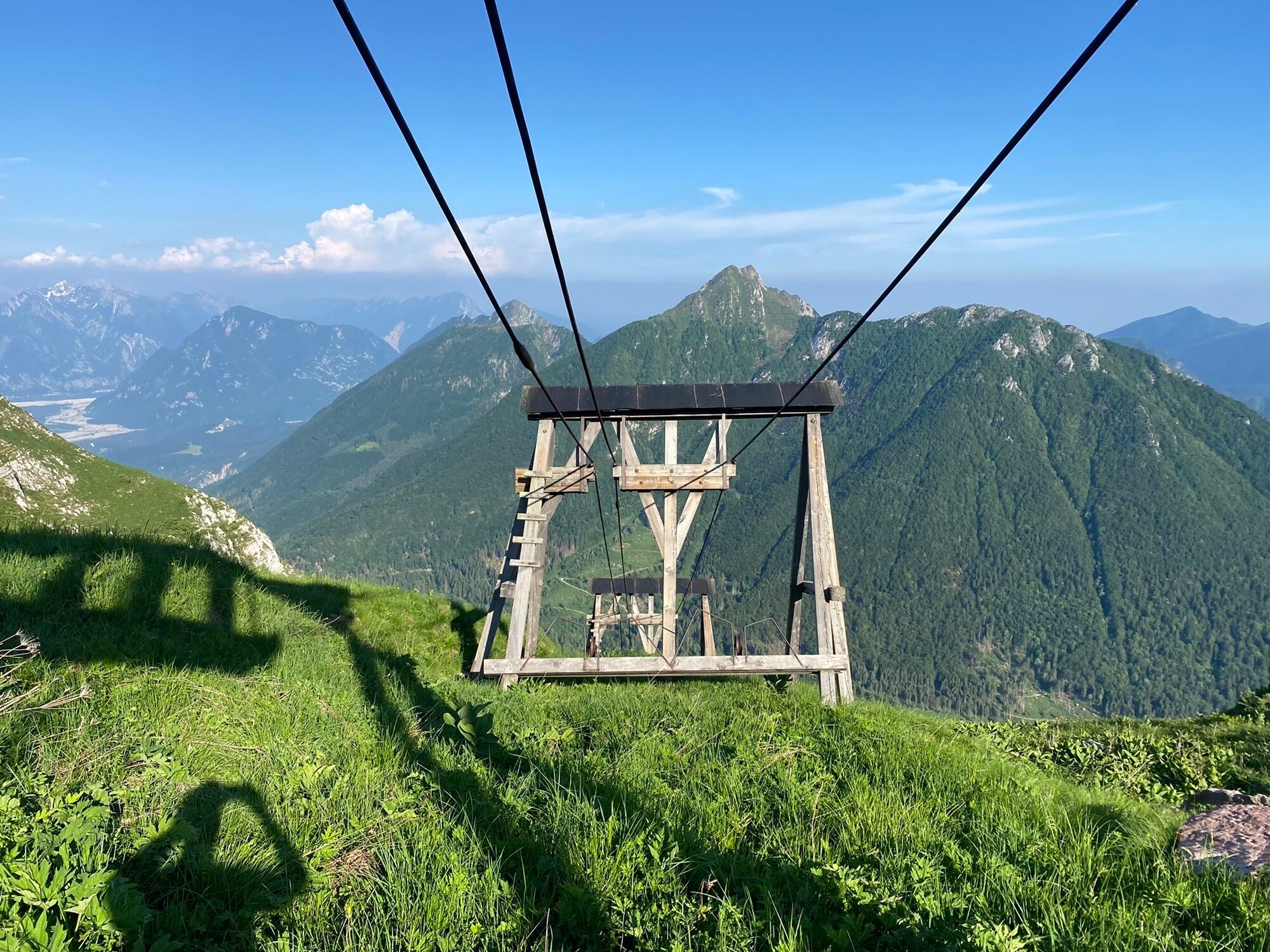
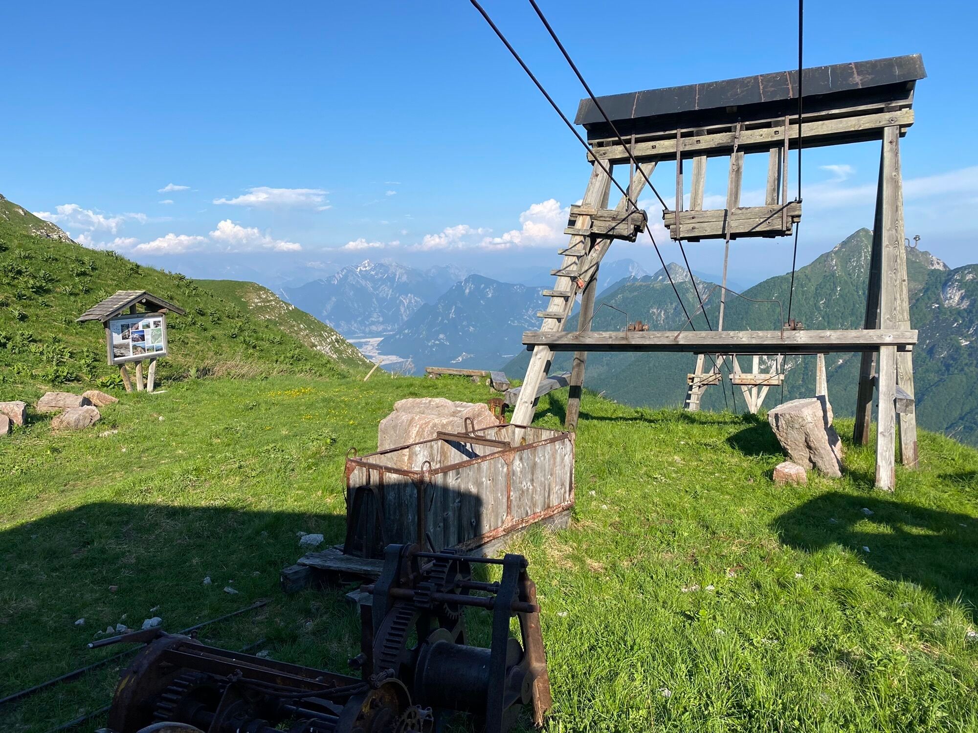
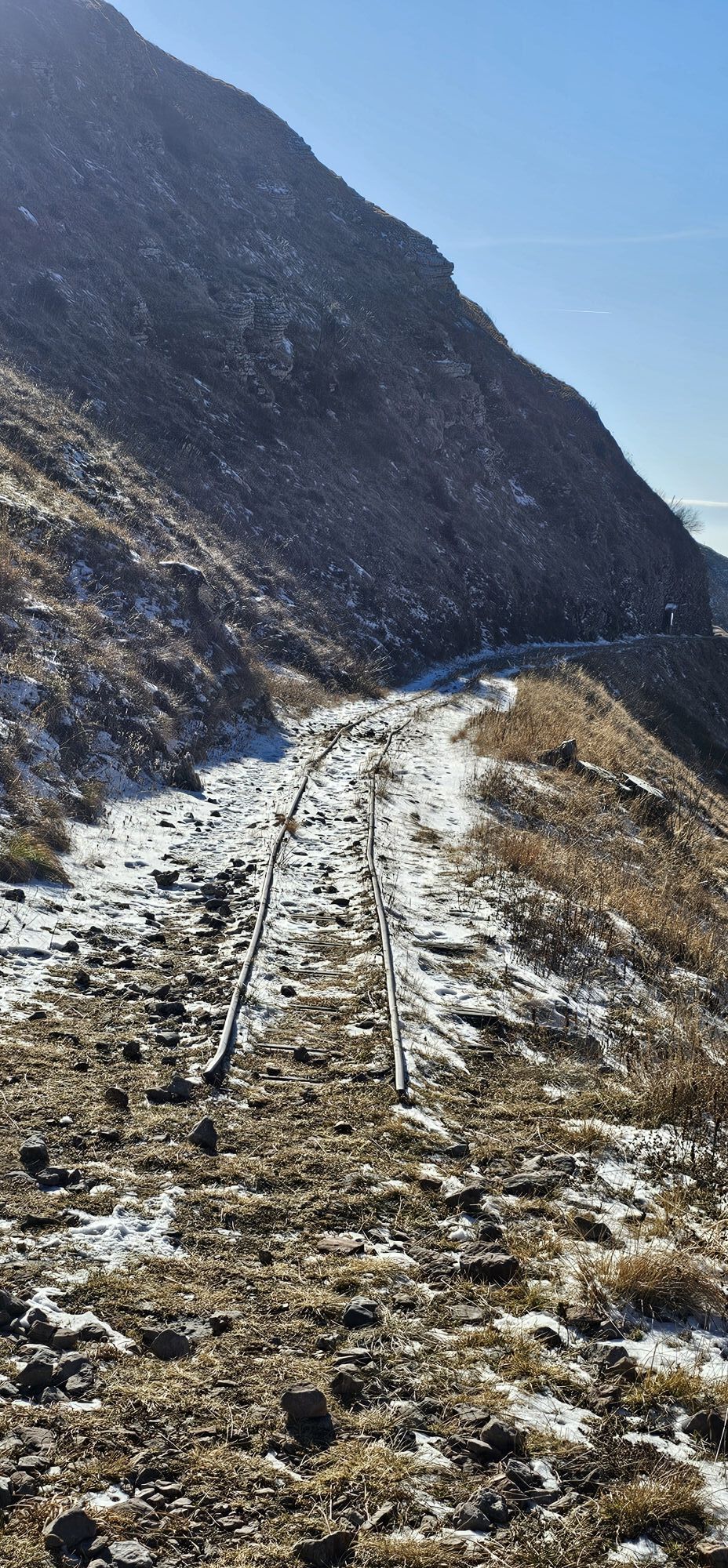
The start is at the pass of Sella Chianzutan, between Val Tagliamento and Val Arzino. The ascent climbs the wooded slopes of Colle dei Larici near the path of the old cable car used to bring down the blocks of precious red marble from Verzenignis from the upper quarry.
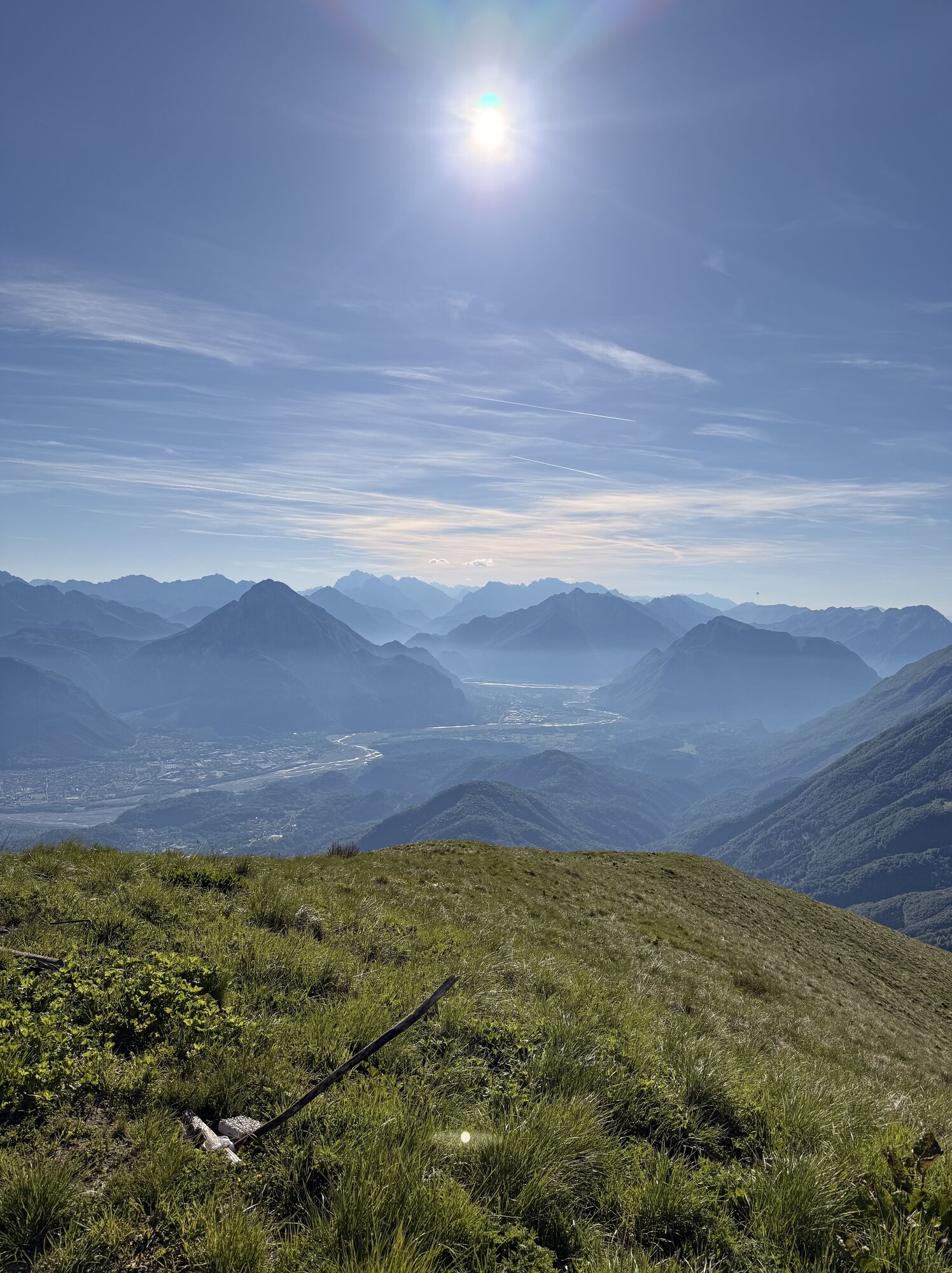
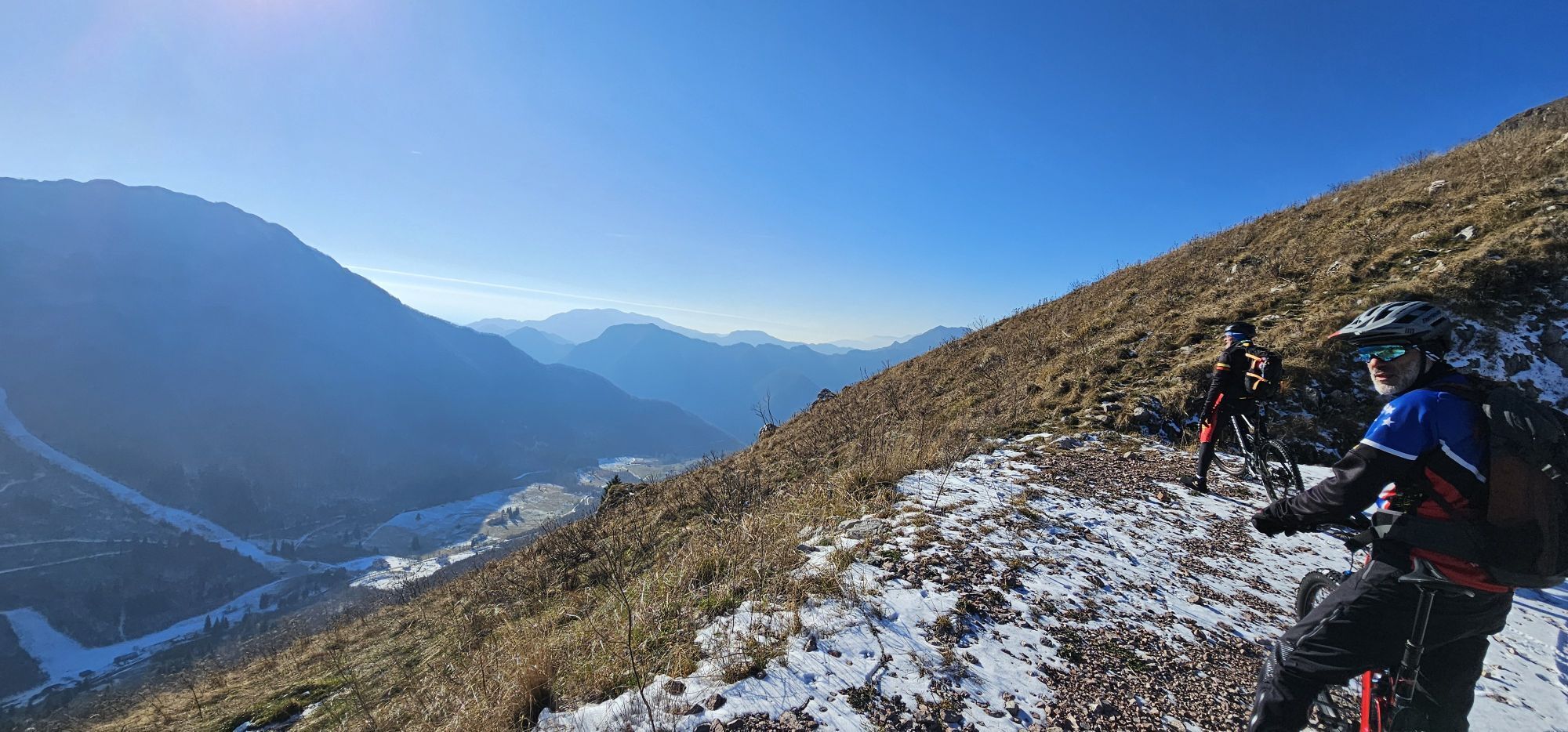
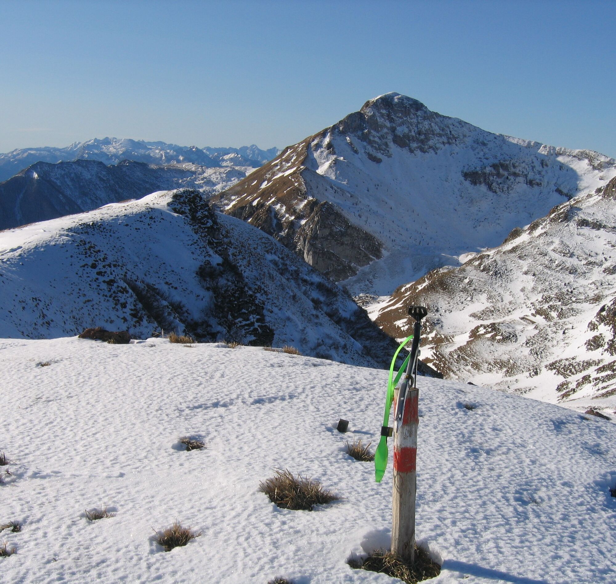
Having reached the nearby summit at about 1779m, return on the same path to descend to the saddle between Colle dei Larici and Lovinzola. The nearby quarry is worth a visit.
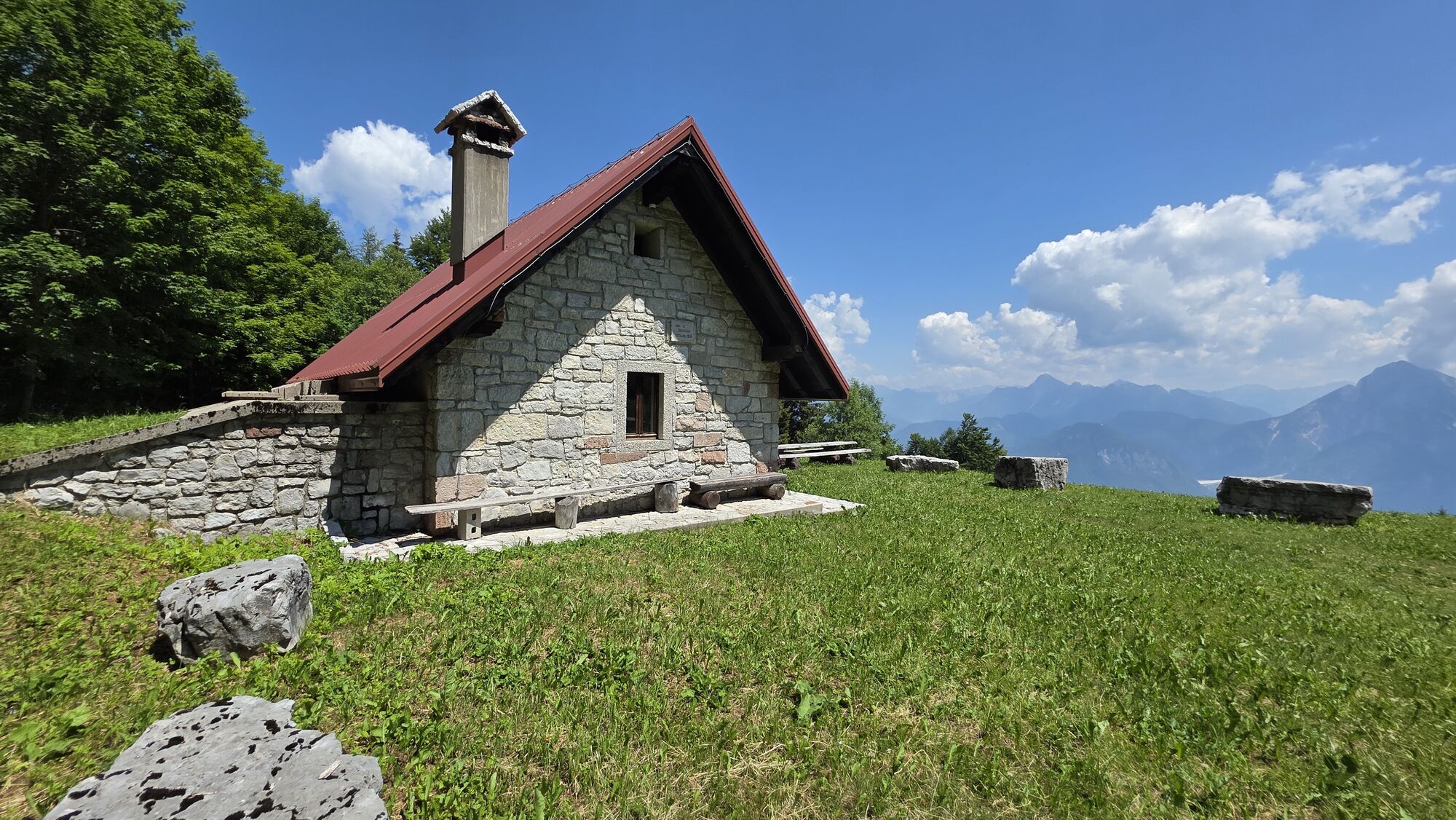
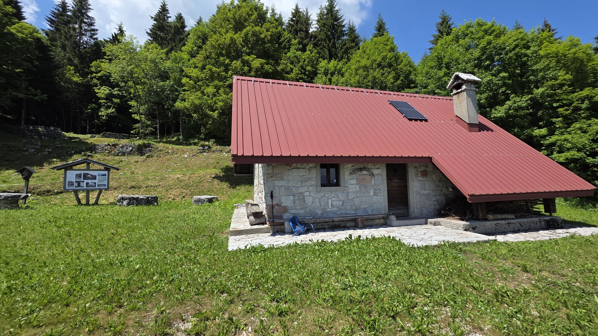
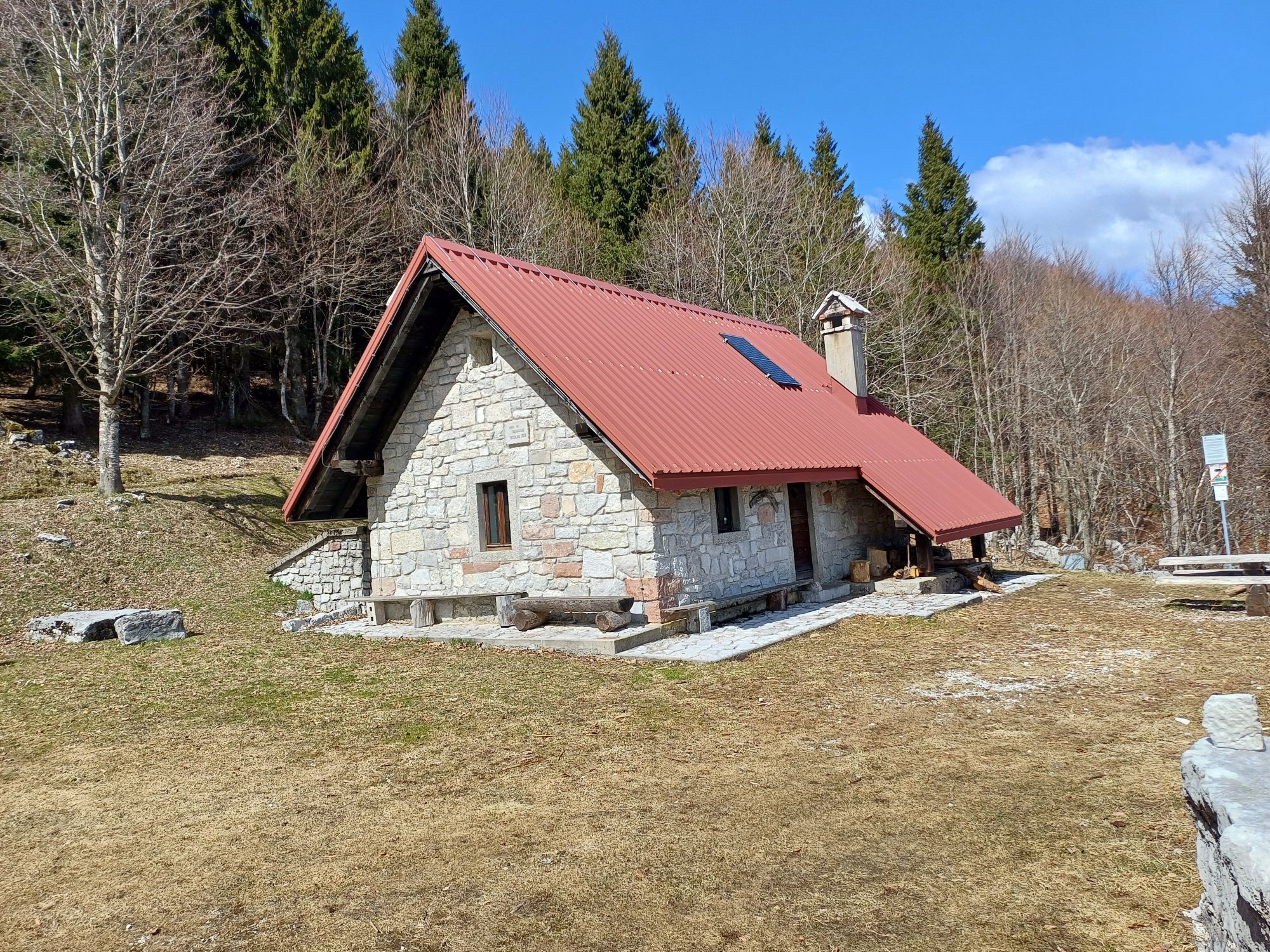
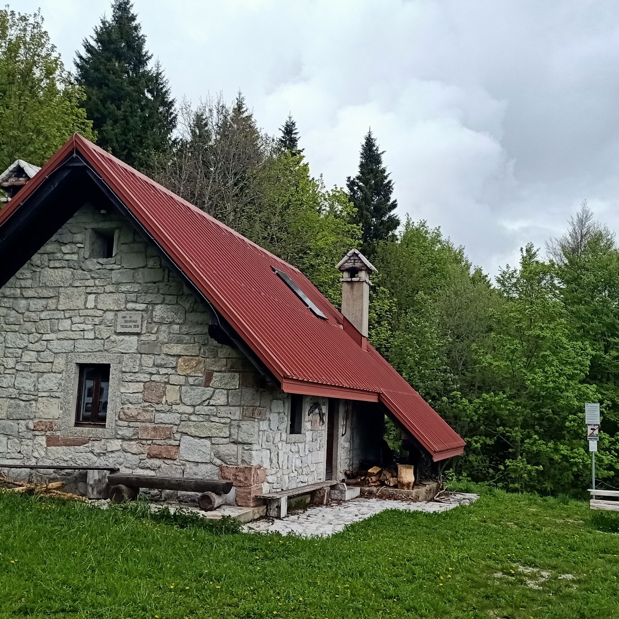
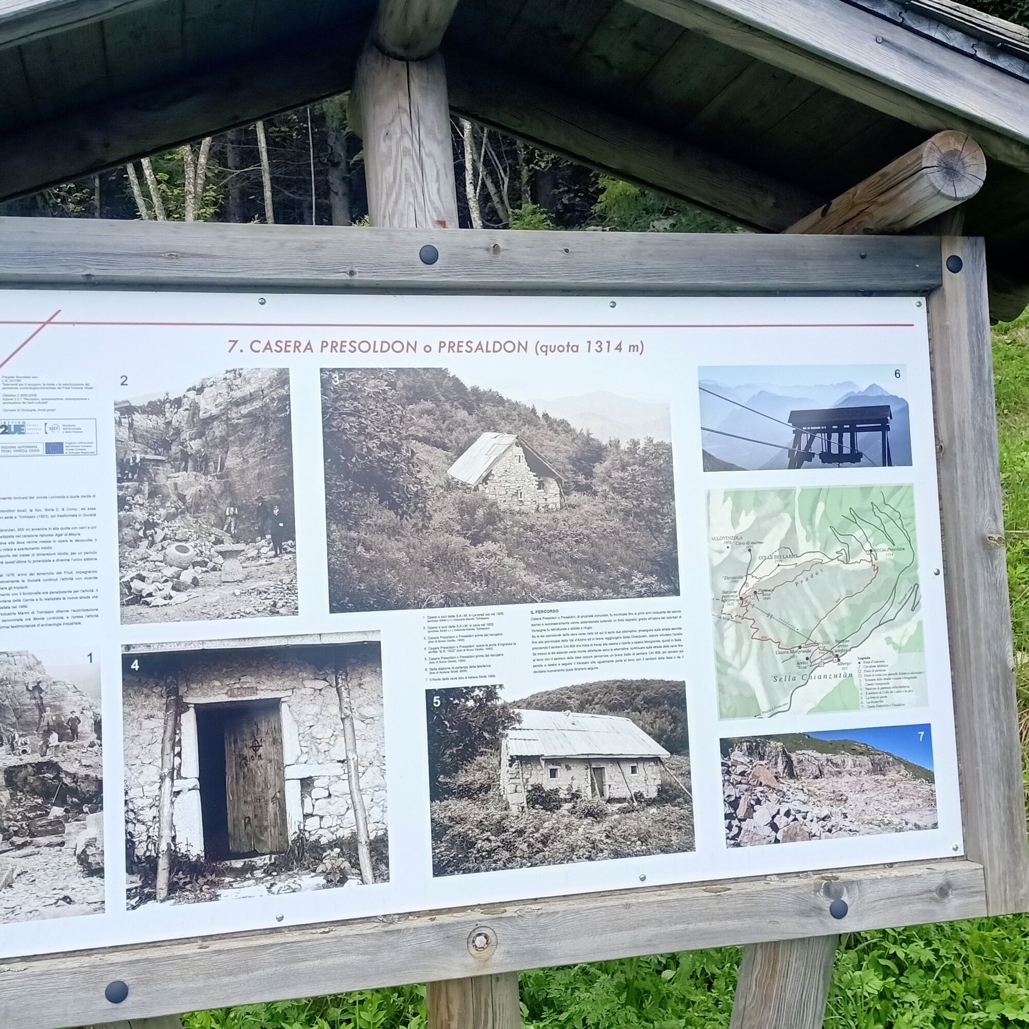
The loop closes by passing through the tunnel on the quarry service road along CAI path 809 leading back to Sella Chianzutan descending the southern slope of the mountain. A short detour to the Presoldon shelter is recommended, a structure always open as a bivouac offering a remarkable panoramic viewpoint.


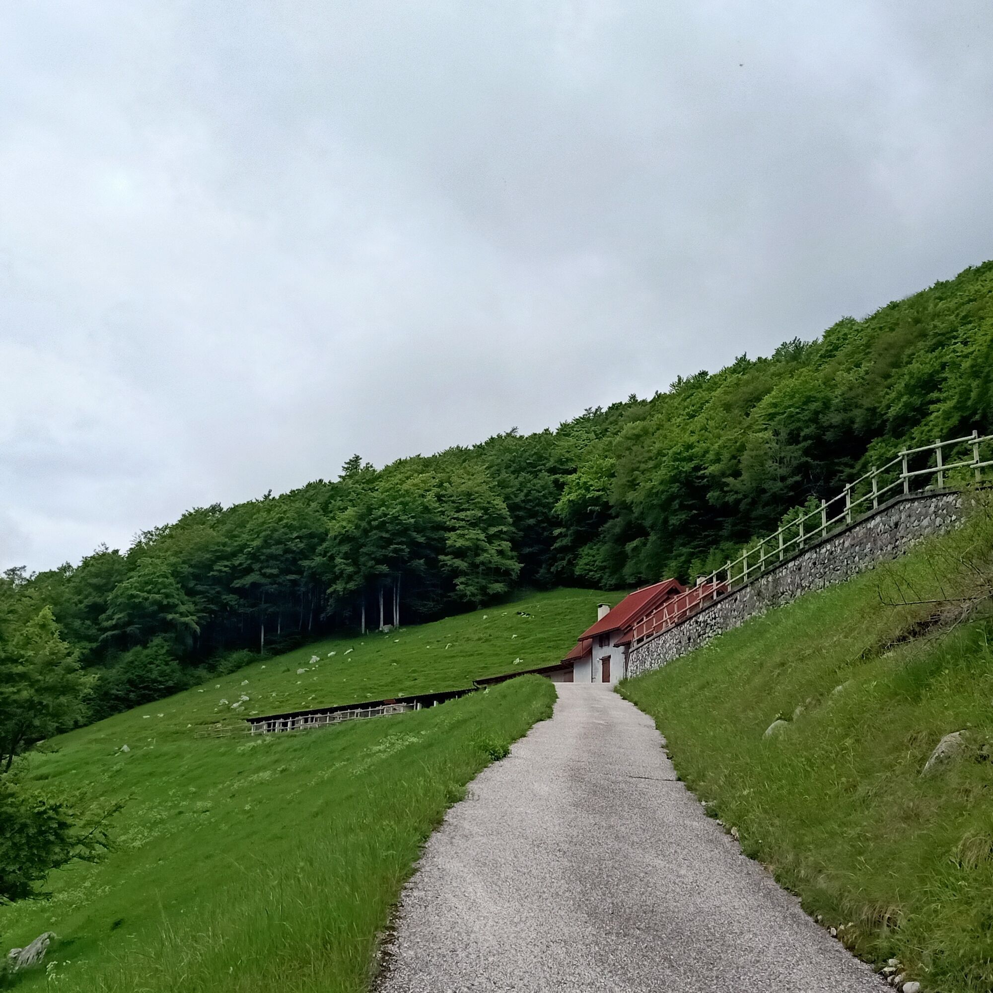
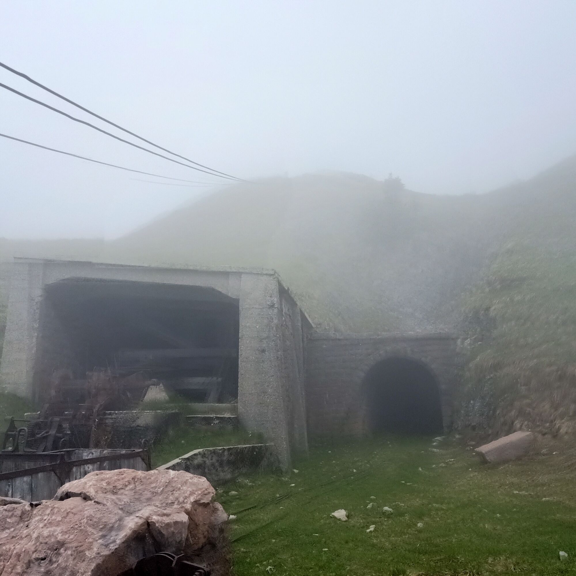
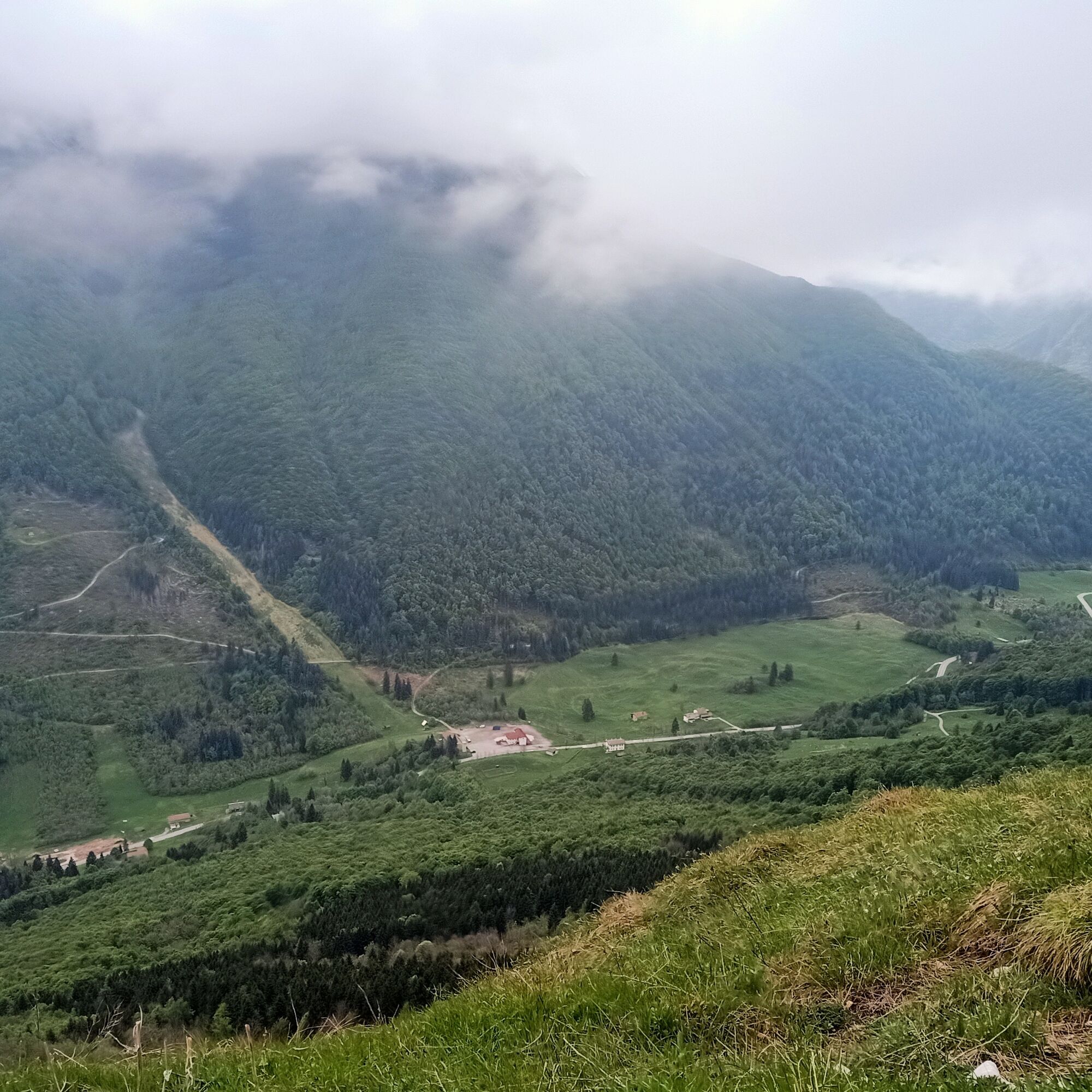


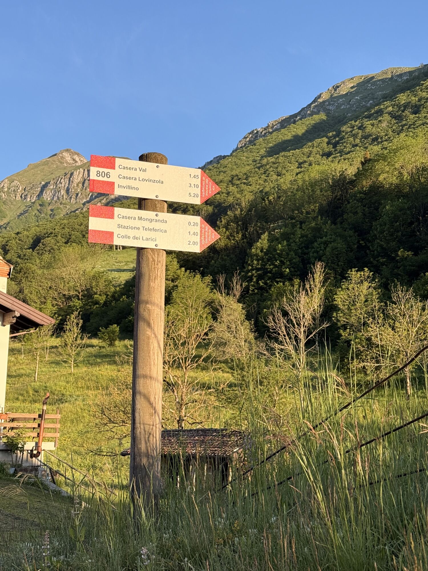
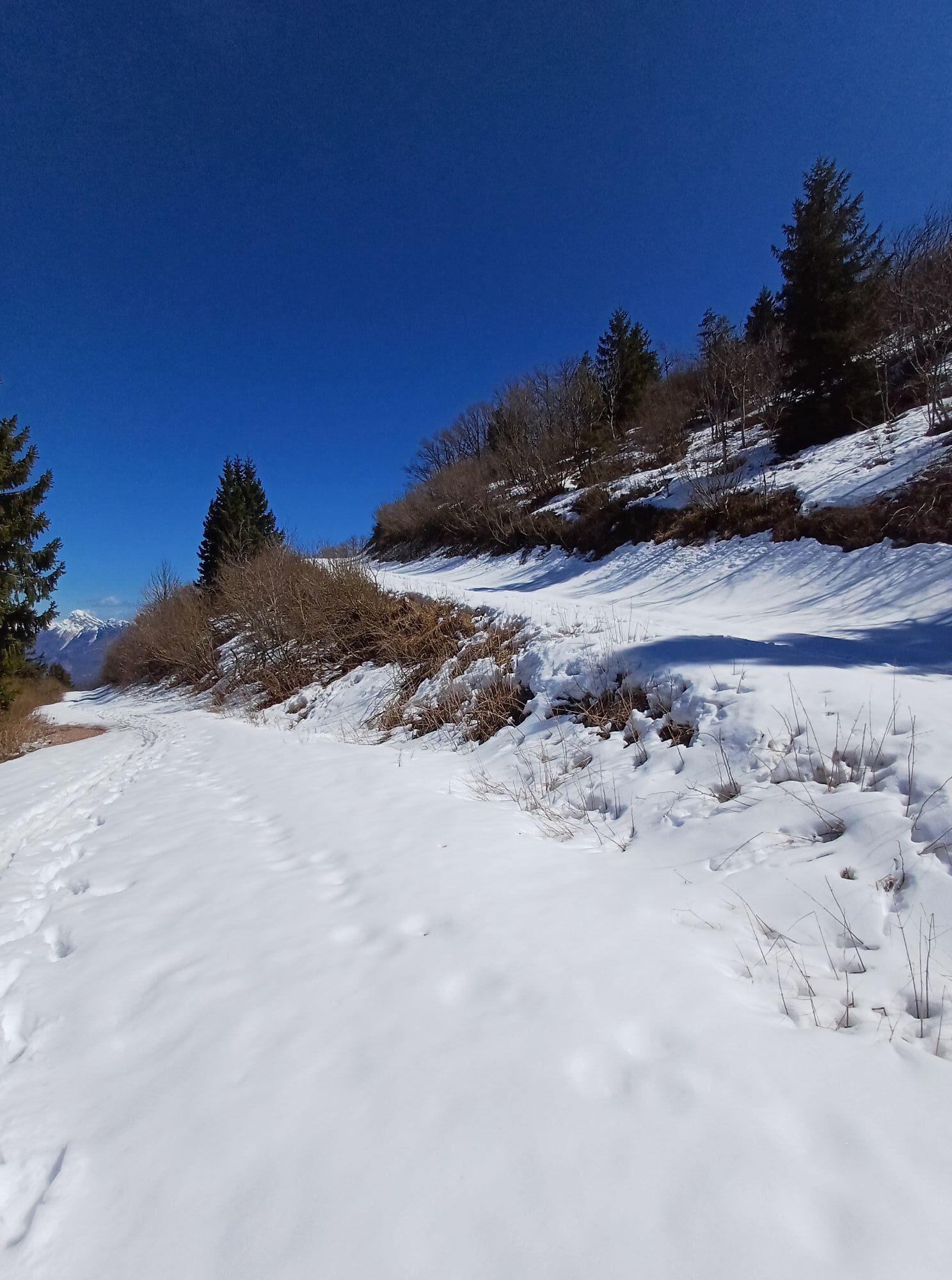
Facing the Bar-Restaurant of Sella Chianzutan, the CAI 806 path climbs through the woods towards Casera Mongranda and continues behind the building after a short paved section. After a long ascent through the forest, around 1500m altitude, at a marked fork, continue to the right, reaching the starting station of the cable car. Next to a wooden board on the right (sign), the trail leads to the long ridge that climbs to Colle dei Larici, which is reached in about 25 minutes.
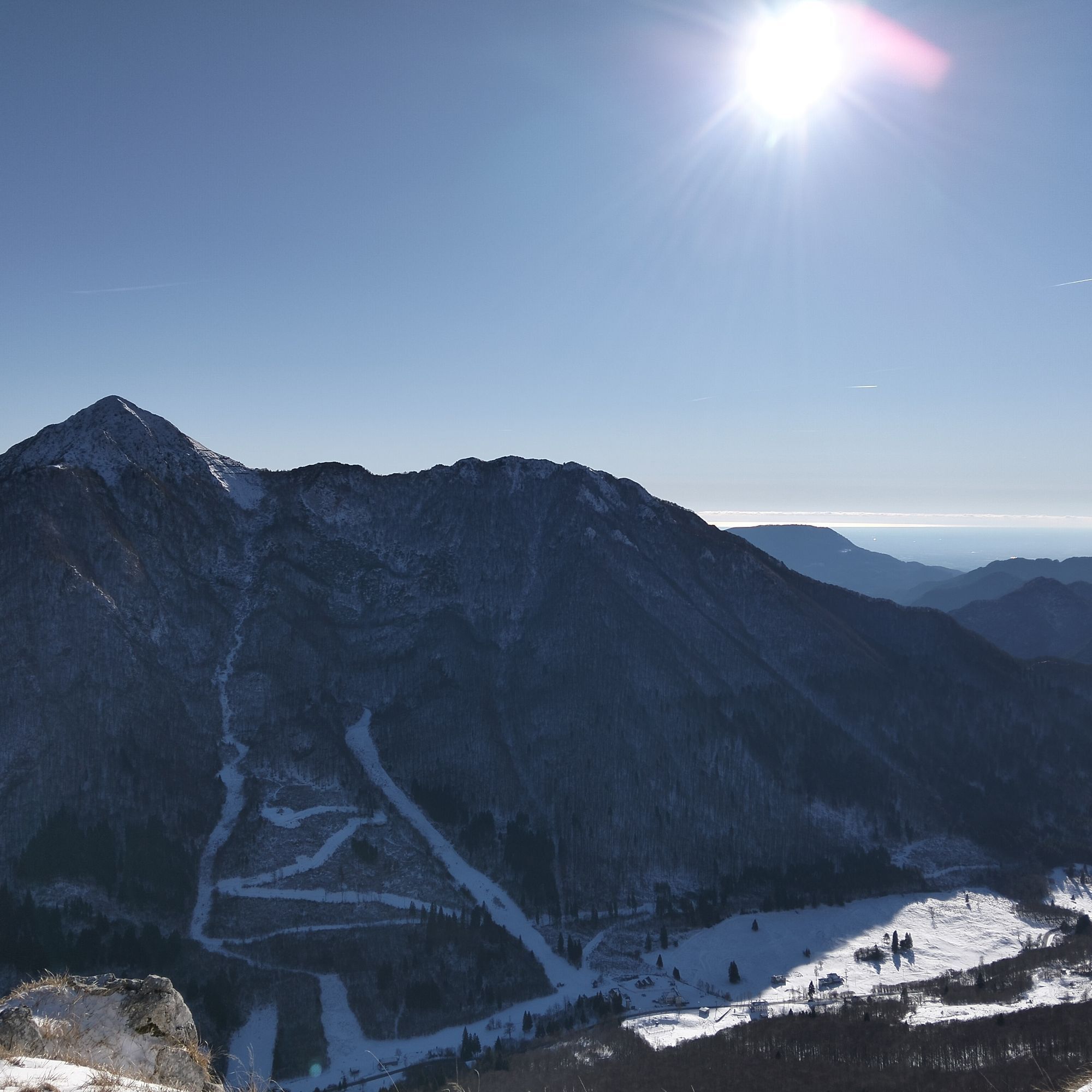
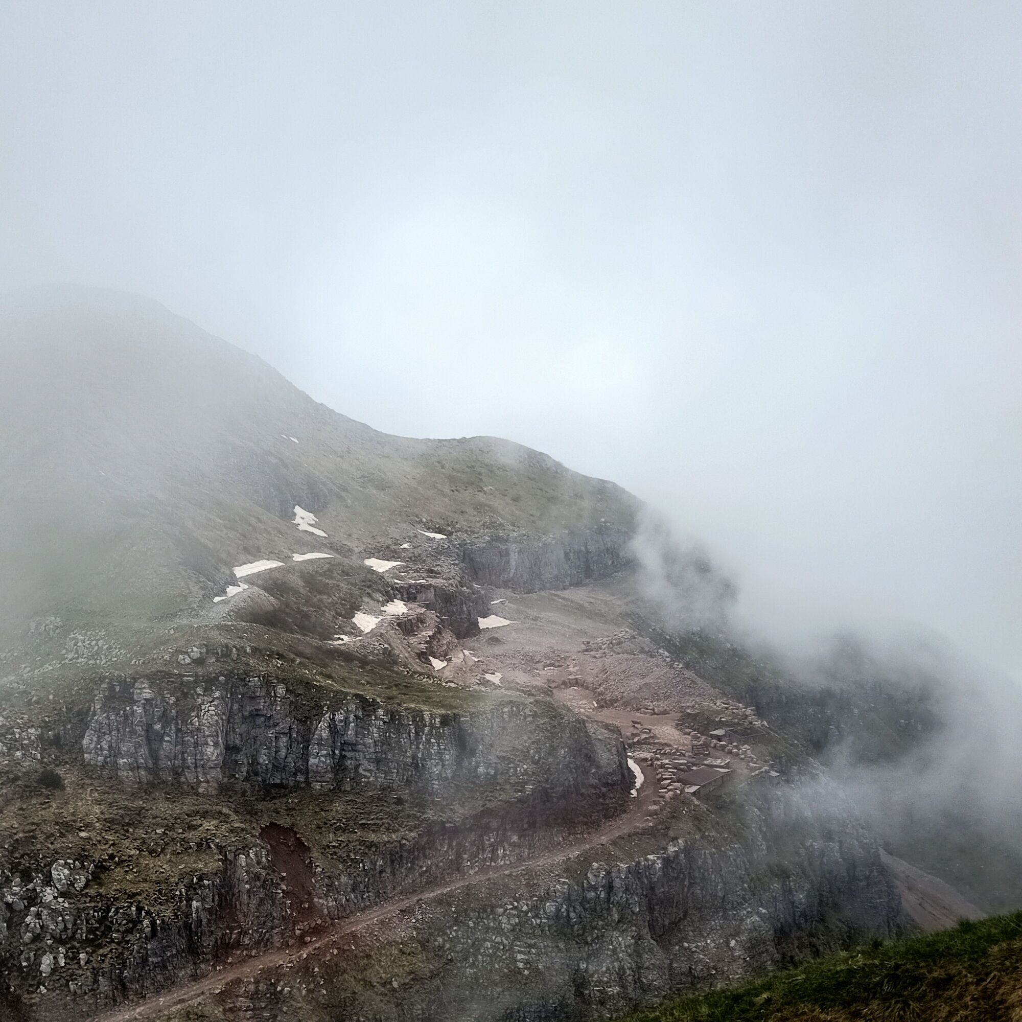
Returning along part of the ascent ridge, clear traces with red marks descend to the right to the saddle between Colle dei Larici and Lovinzola, near the service road to the quarry. If the quarry is not active, it can be visited with a short detour following the slightly uphill road.
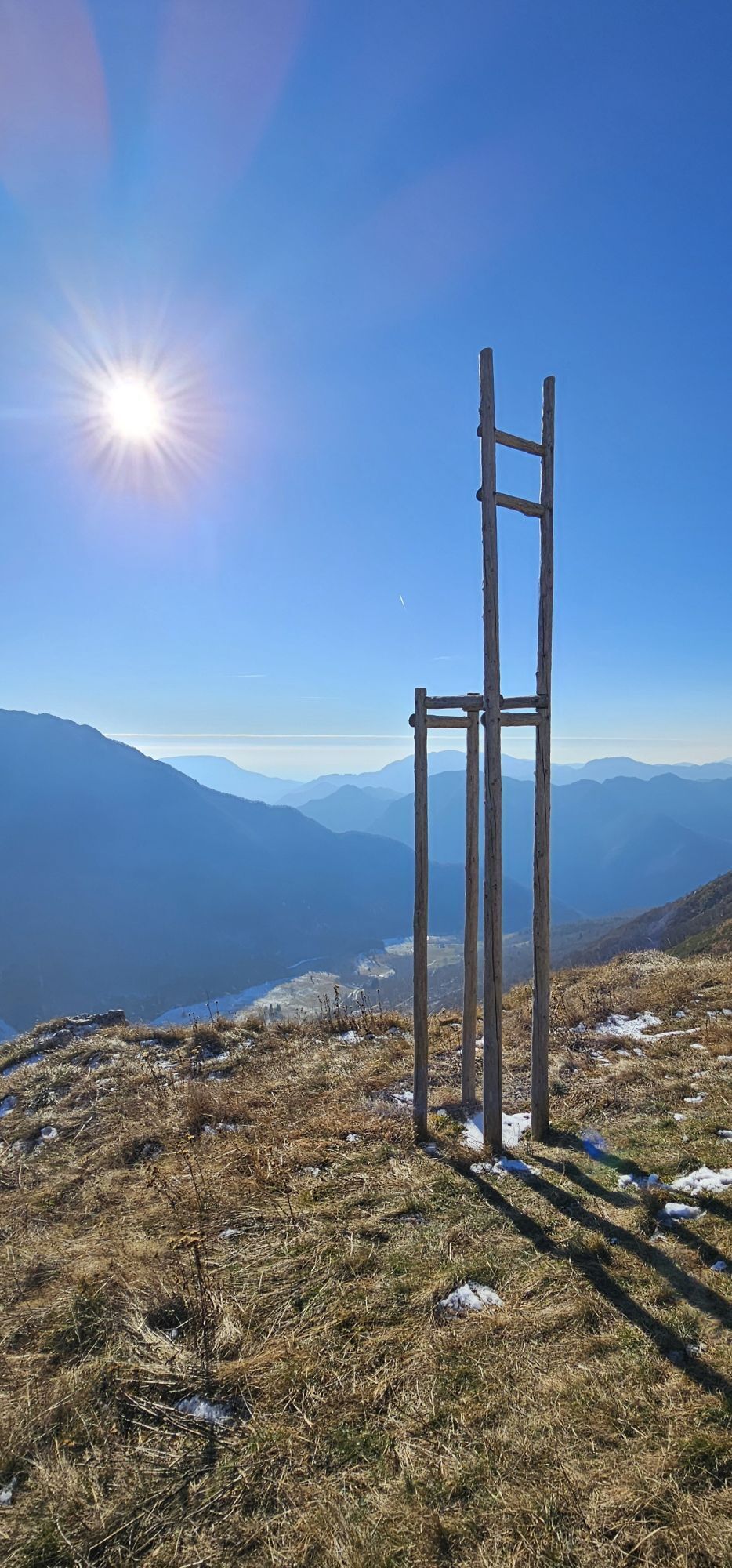
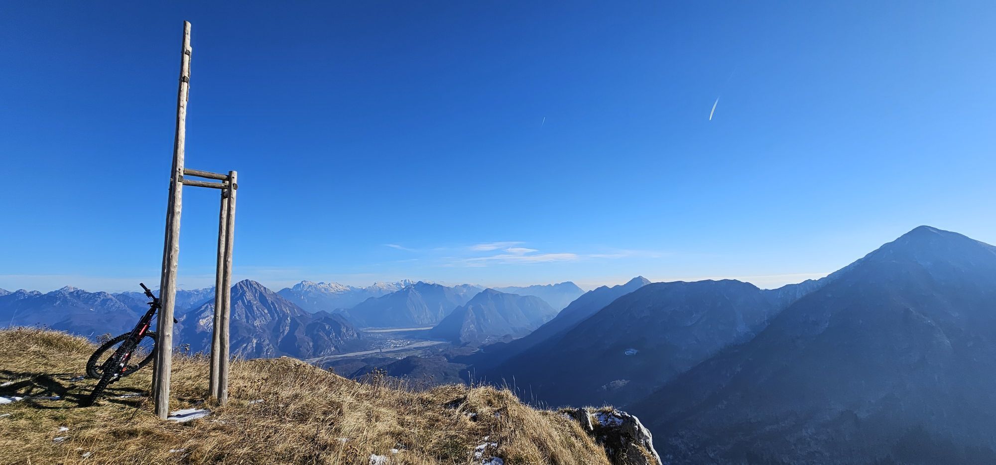
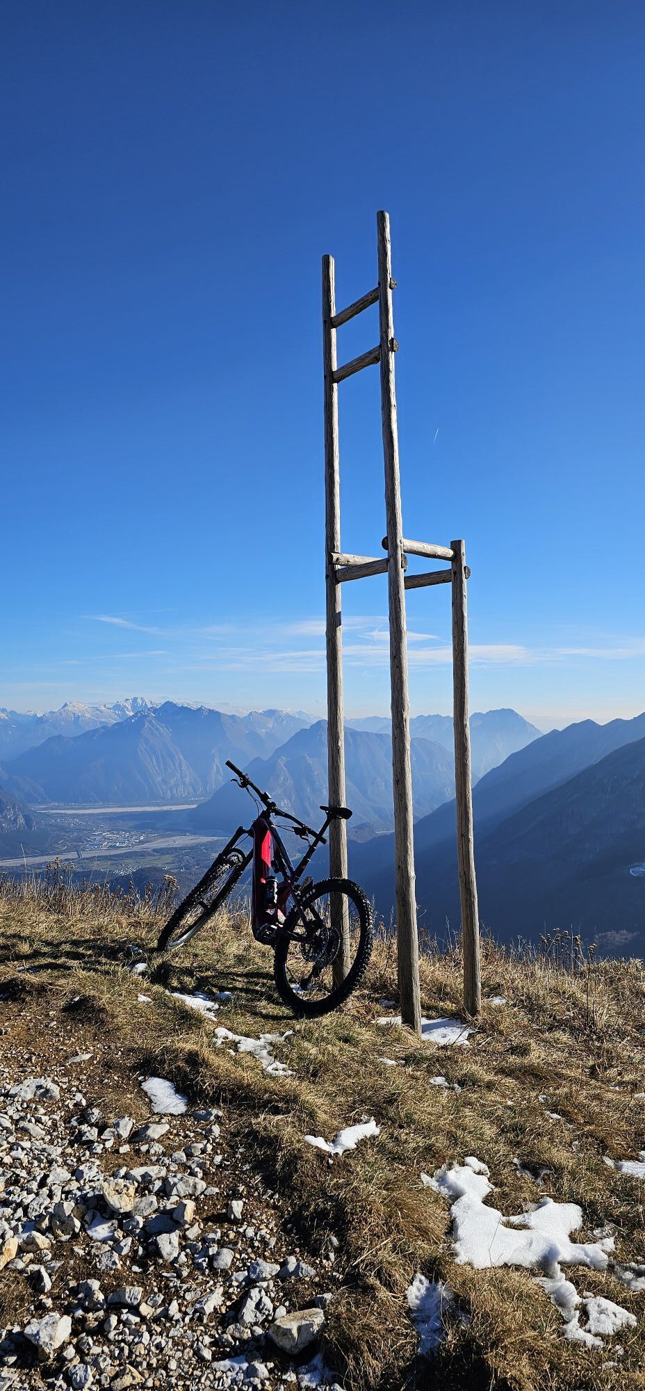
Back at the saddle, follow the dirt road now descending, passing through a tunnel (no need to carry lamps) and continuing along it to the panoramic ridge of Cjadrea (wooden structure). Shortly after, on the right, follow the trail that descends steeply through the greenery to the bottom. At a fork (signs), it is possible to reach the nearby Presoldon shelter with a 5-minute walk. After returning to the fork, proceed straight ahead to quickly descend towards Sella Chianzutan, visible from here, returning into the forest and closing the loop near Casera Mongranda.
To the left, in a short time, you reach the parking lot along the same route as the outward journey.
Tak
Tak
Standard hiking equipment.
No water along the entire route.
The marble quarry, during summer months, is an open worksite and entry is forbidden to unauthorized personnel due to objective dangers (for example the use of explosive charges for block detachment).
From Val Tagliamento - In Tolmezzo follow signs for the municipality of Verzegnis and continue to Sella Chianzutan on S.P 1
From Val D'Arzino - Along Provincial Road 1 of Val D'Arzino pass all the hamlets of the municipalities of Vito d'Asio and Pozzis (Verzegnis) ascending to Sella Chianzutan and ignoring, on the left, the detour to the Preone valley.
Large parking near the Bar Restaurant.
The entire area is rich in routes planned by the municipality of Verzegnis that can be used to compose the proposed hike in a different way; the trails are fully marked with specific signage.
It is possible to avoid the summit by using the short tunnel near the cable car; this way you reach directly the service road to the quarry.

Popularne wycieczki w okolicy
-
4,3
Monte Festa, a mountain rich in history
średniWędrówka 13,5 km -
3,4
10 thousand health steps FVG -CAVAZZO CARNICO AND BORDANO
światłoWędrówka 8,68 km -
4,7
Monte Cuar loop
średniWędrówka 7,26 km -
4,4
Brancot, Palantarins e Tre Corni da Braulins
średniWędrówka 8 km -
5,0
Villa Santina: La Farina del Diavolo (C)
średniVia ferrata 6,10 km -
4,0
Szlak wokół jeziora Cavazzo (R017)
średniKolarstwo długodystansowe 32,3 km -
5,0
Loop of M. Amarianute, balcony over Tolmezzo
średniWędrówka 7,22 km -
5,0
PATH OF THE POZZE SMERALDINE
światłoWędrówka 6,77 km -
4,0
Przegląd dorzecza Tolmezzo i dolnego Carnia
światłoWędrówka 6,68 km -
4,5
Szlak motyli - trasa długa
średniWędrówka 7,93 km
Wędrówki i tropienie


Nie przegap ofert i inspiracji na następne wakacje
Twój adres e-mail została dodana do listy mailingowej.





