


B11 Leitha cycle path
Poziom trudności: 1
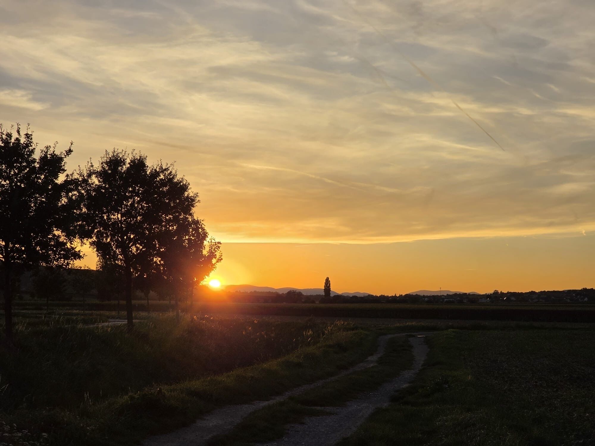

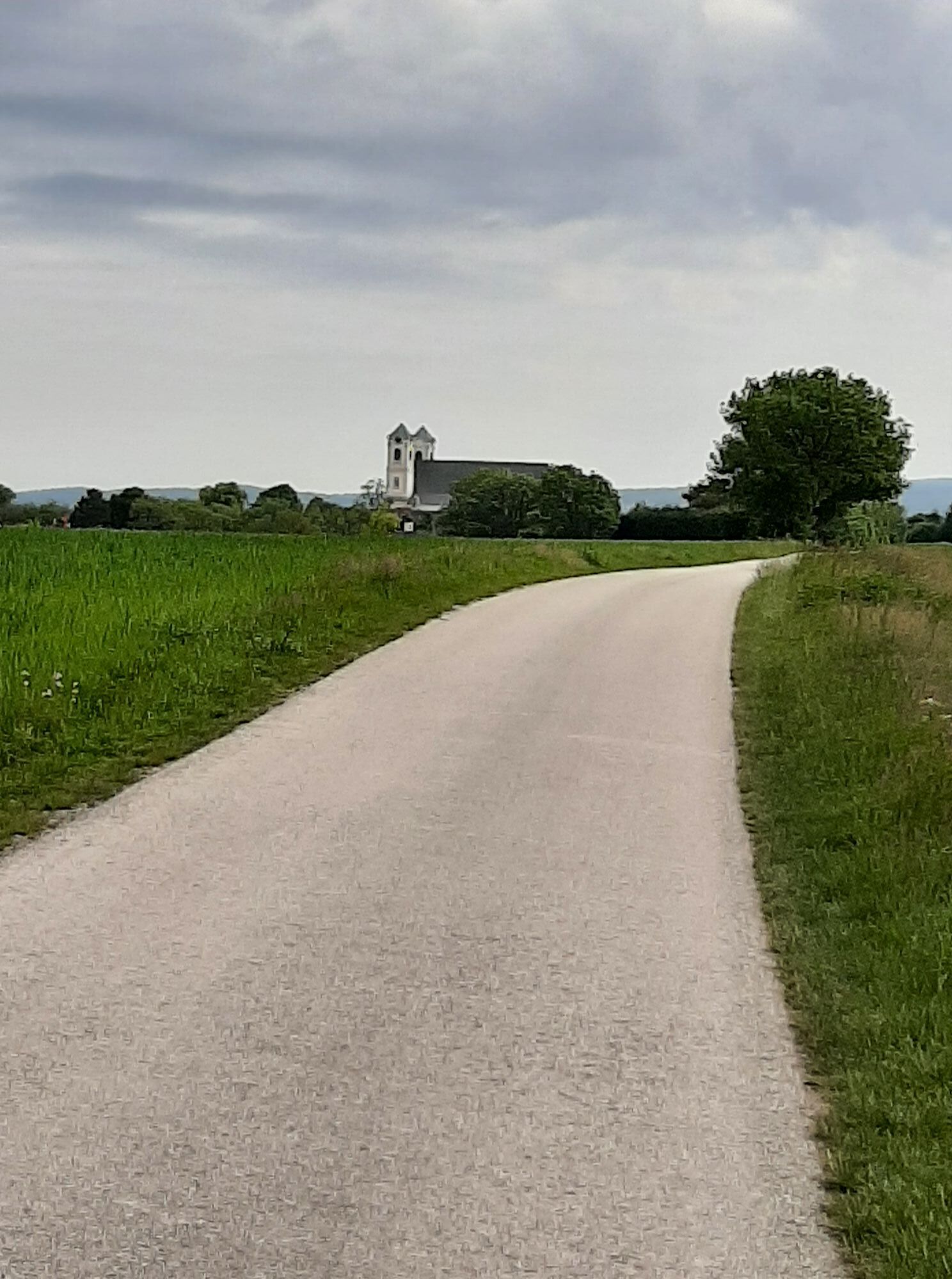
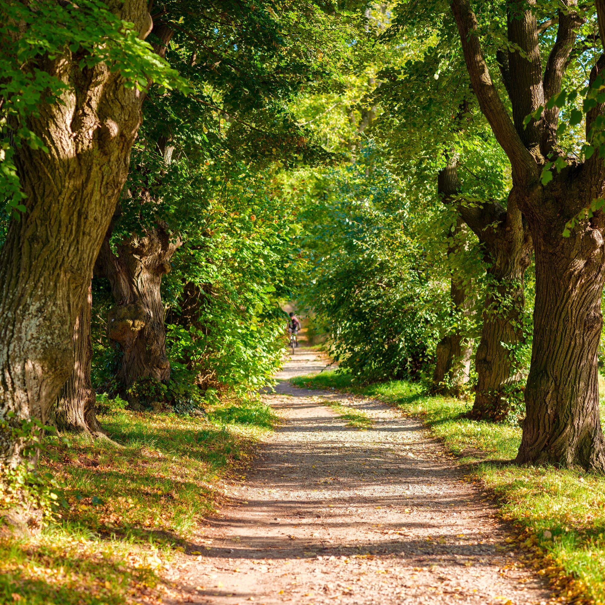
The route on the Leitha cycle path (B11) is mostly flat, with the few short climbs all the more challenging. Your effort is always rewarded by the beautiful landscape: you cycle past lush vineyards, wide...
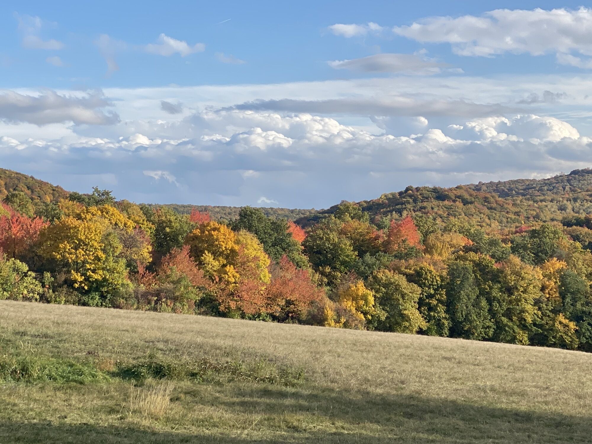
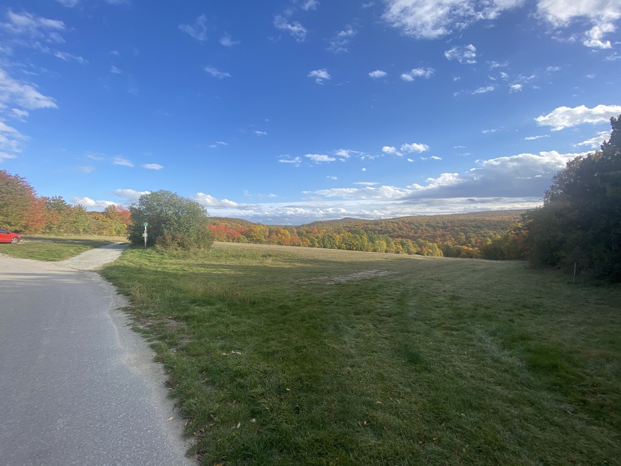
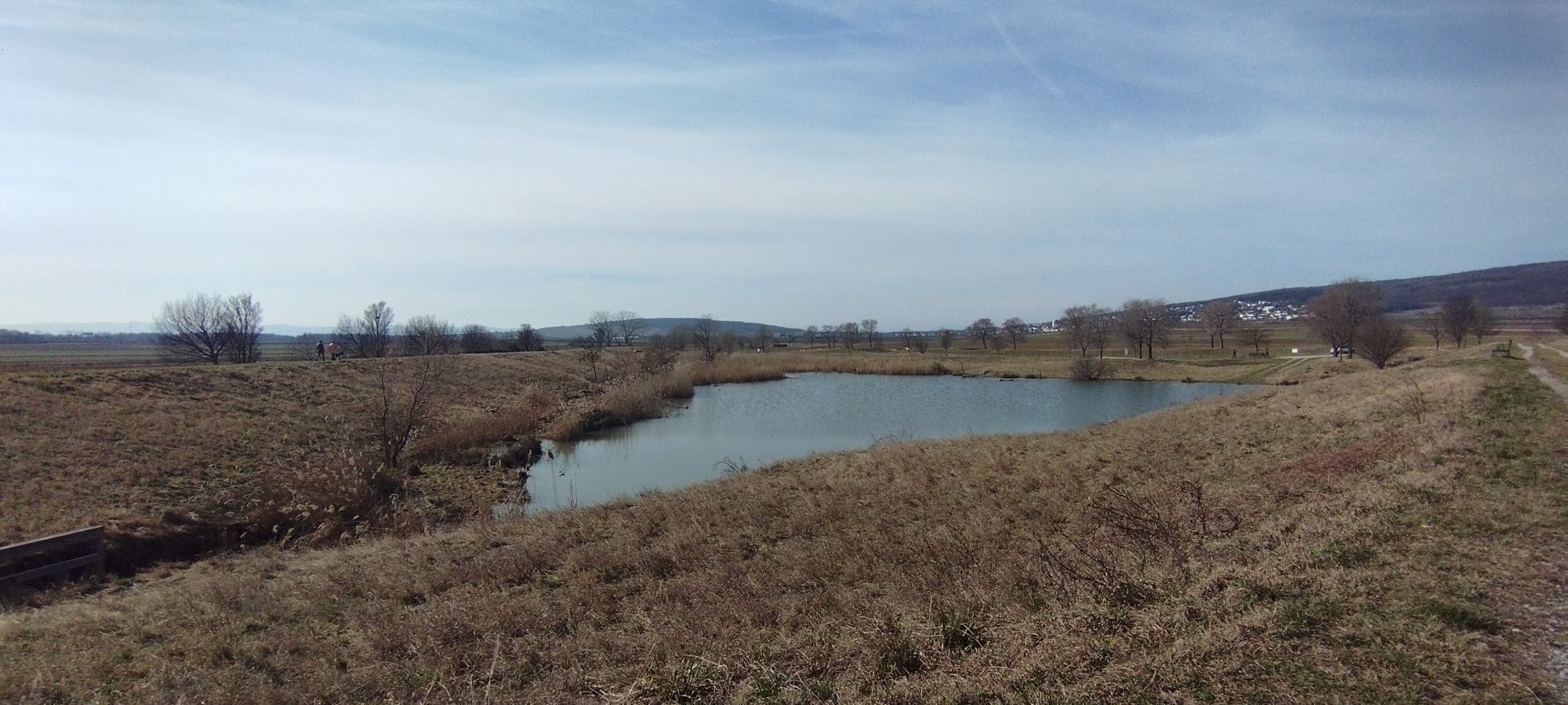
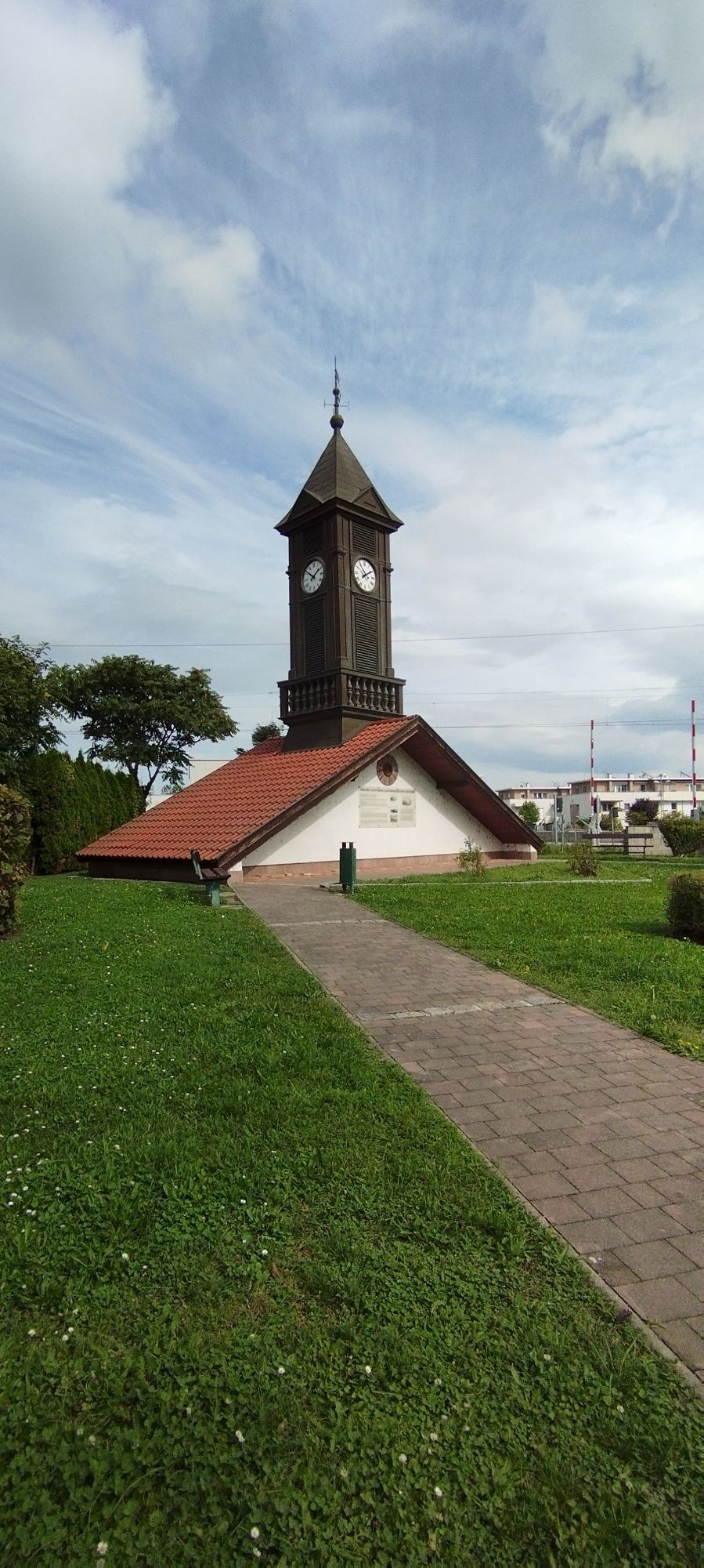
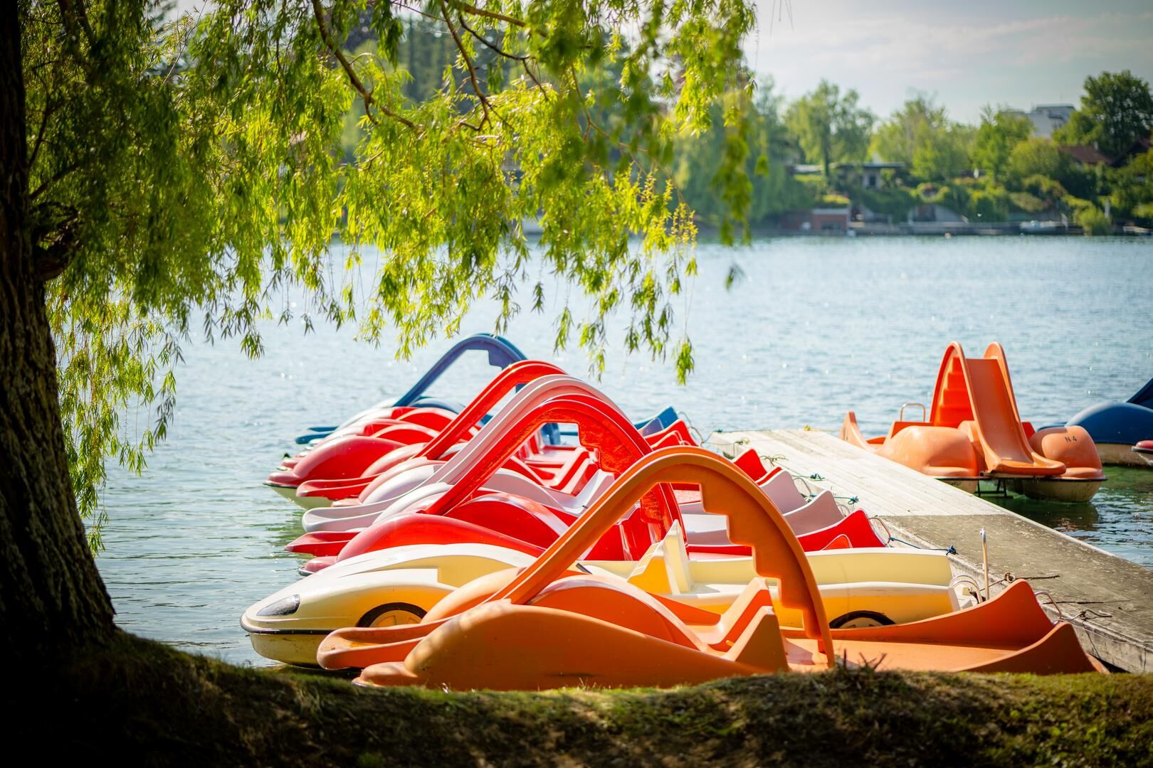
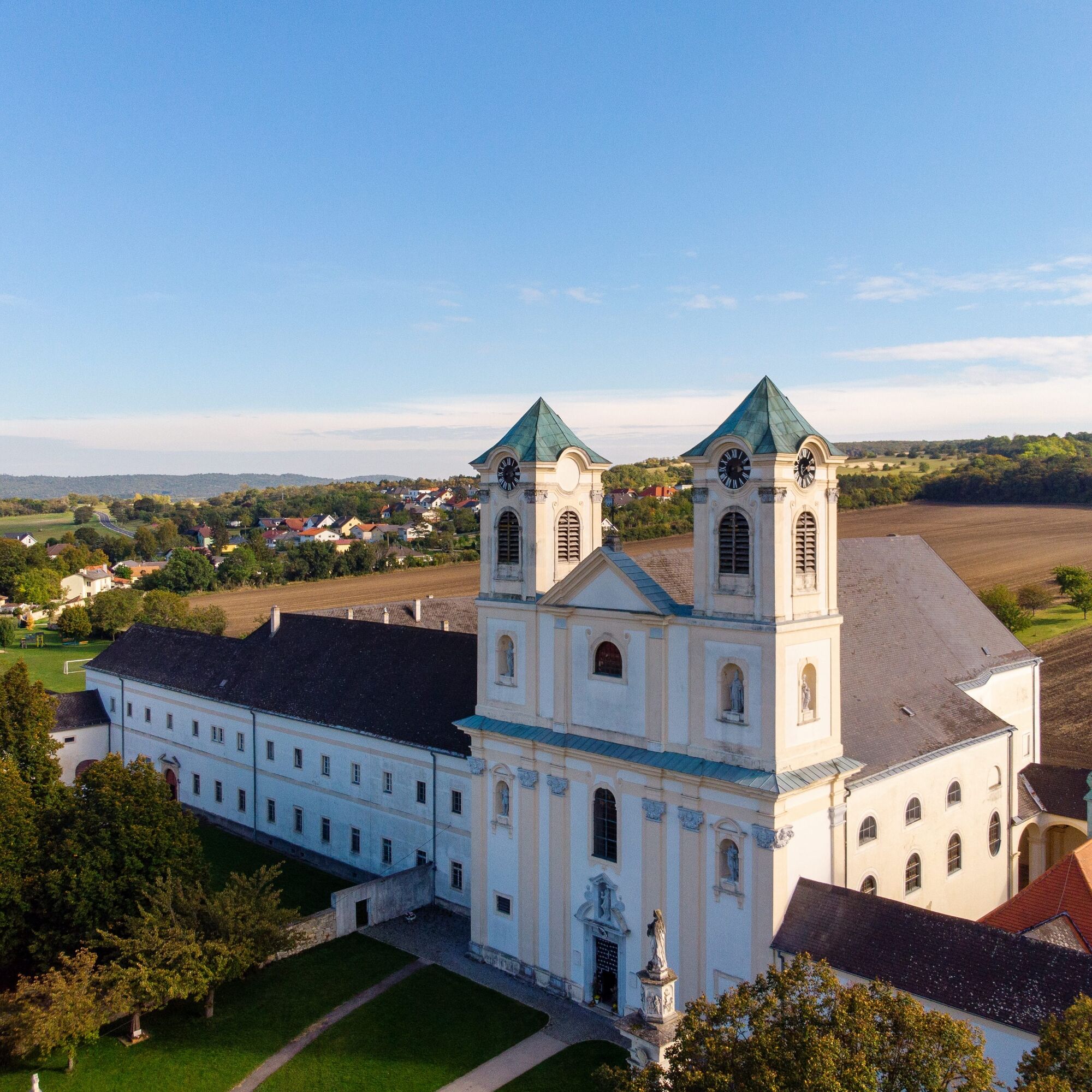
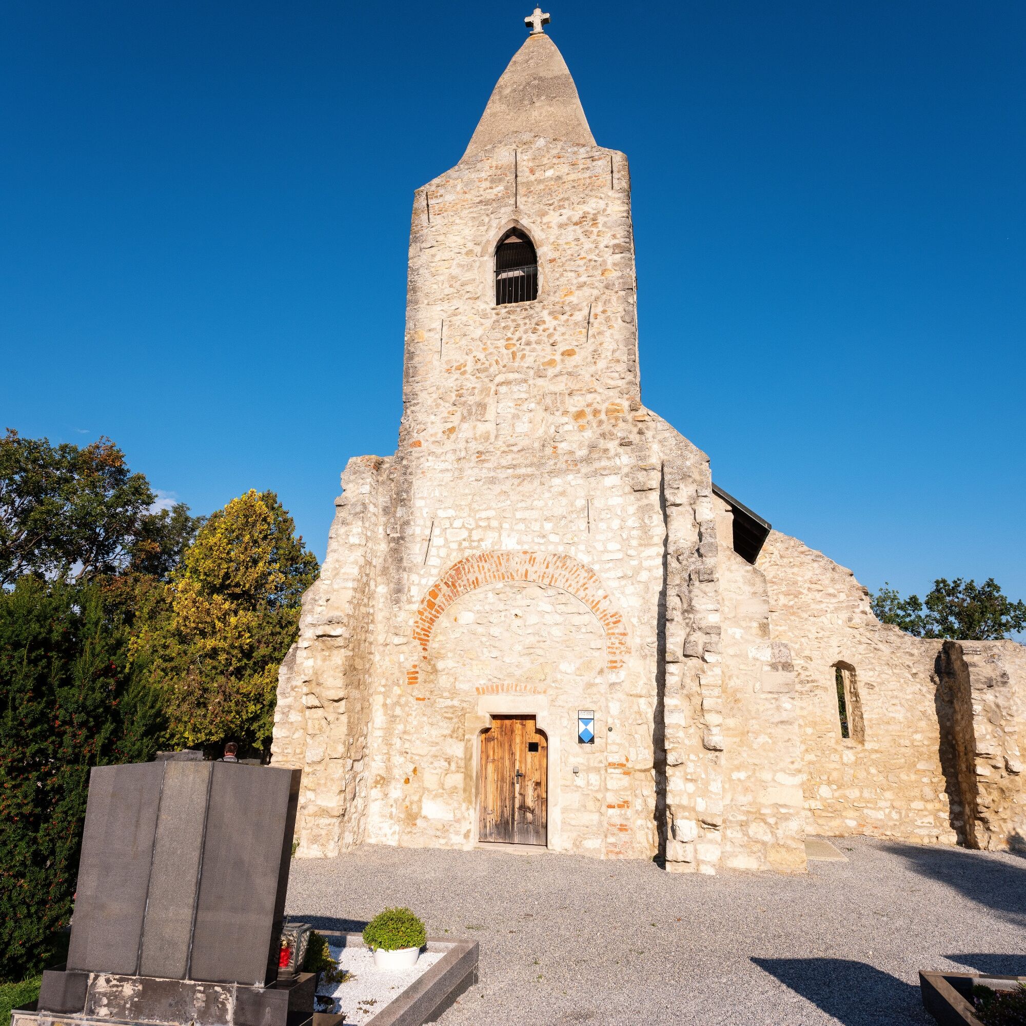
The route on the Leitha cycle path (B11) is mostly flat, with the few short climbs all the more challenging. Your effort is always rewarded by the beautiful landscape: you cycle past lush vineyards, wide fields, cool forests, and gently rolling meadows. There are also some highlights in the respective towns: Esterházy Castle in Eisenstadt, the old town center of Hornstein, Neufelder See in Neufeld an der Leitha, or the pilgrimage church in Loretto. Take the plunge into the cool water at Neufelder See or Steinbrunner See! Good gastronomy businesses and cozy wine taverns offer culinary delights and relaxed stops.

The cycle path is almost entirely asphalted. (500 m long gravel section between Neufeld and Zillingdorf/Bergwerk).
Places on the B11:
Eisenstadt, Großhöflein, Müllendorf, Steinbrunn, Zillingtal, Neufeld, Hornstein, Wimpassing an der Leitha, Leithaprodersdorf, Loretto, Stotzing
Tak
Tak
Bike helmet and comfortable clothing, sun protection, rain protection, drinking water, and snacks
Since many cycle paths are agricultural service roads, agricultural traffic is to be expected there. Mutual consideration ensures that these paths remain pleasant to use for everyone.
In Austria, bicycle helmets are mandatory for children up to 12 years old. Safety vests are not mandatory at dusk, in darkness, or in poor visibility, but they are definitely advantageous. Here is the link to the Austrian bicycle regulations.
A1, A2, A3, S31, S4
Federal and state roads
Arrival by train:
Eisenstadt station, Neufeld/Leitha station
Timetable information: www.oebb.at
or Raab Ödenburg railway
near the route entry point
1
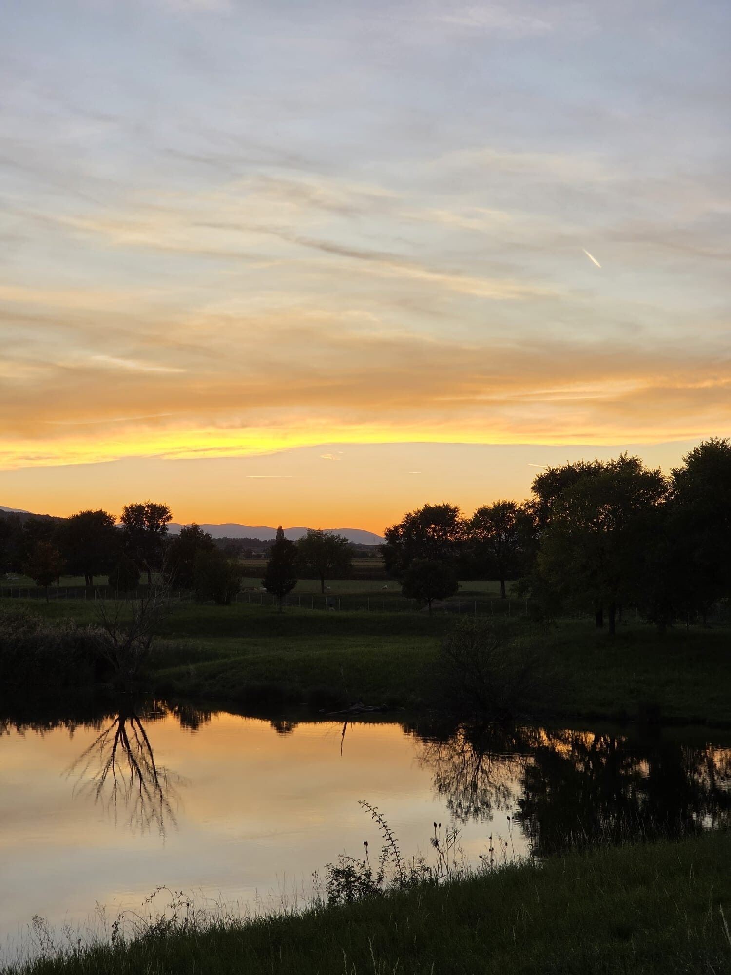
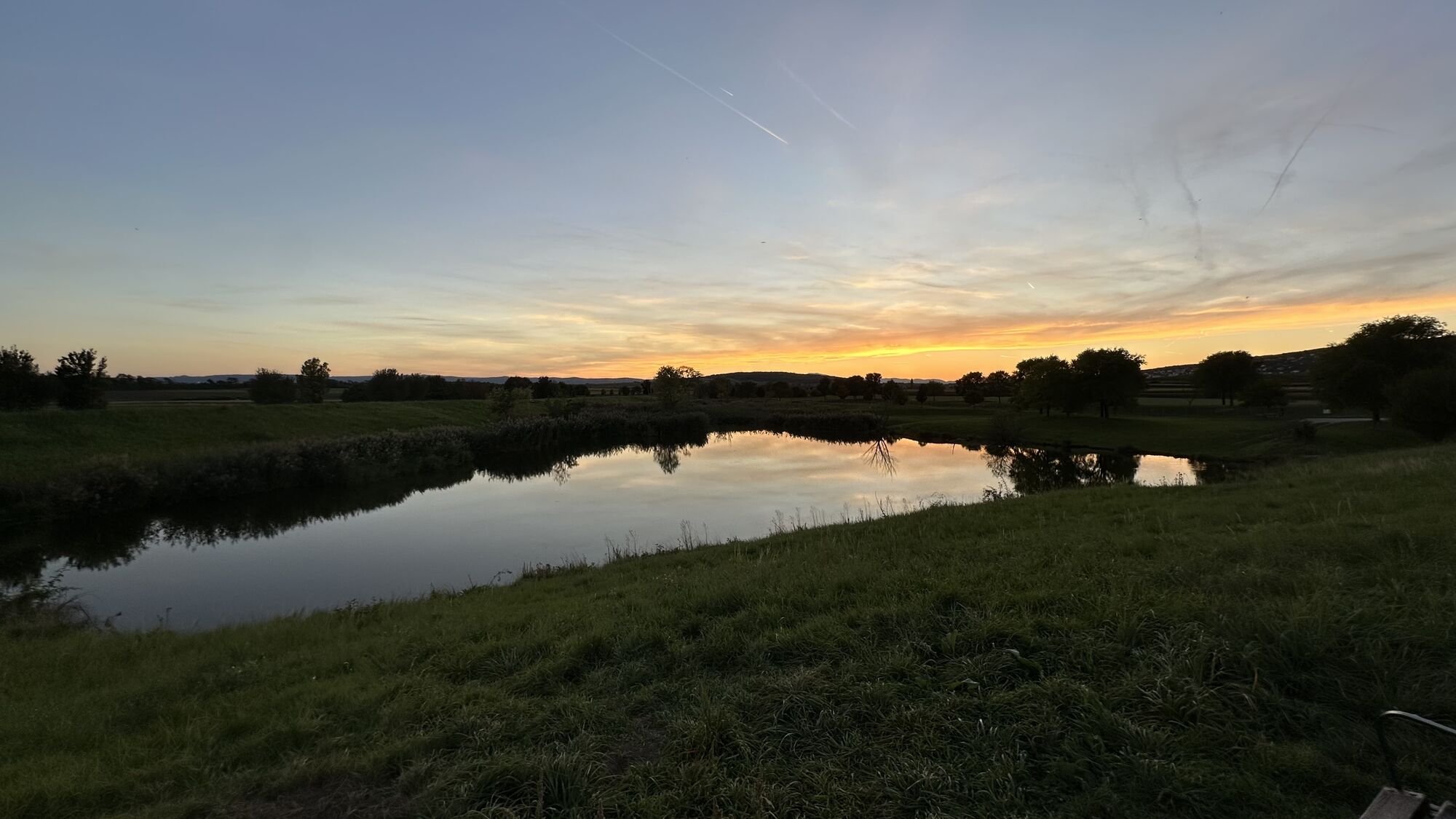
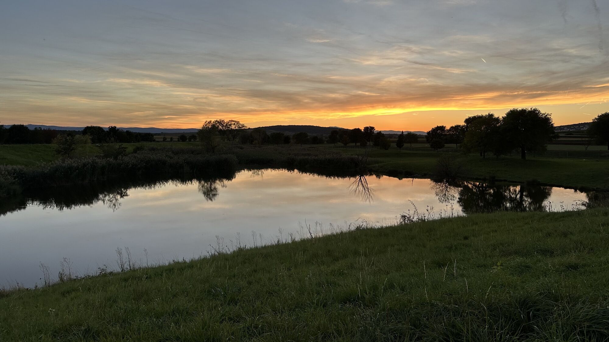
If you are looking for refreshment, a visit to the Neufelder See is recommended.
Kamery internetowe z trasy


Popularne wycieczki w okolicy
- 4,5
B32 Rosalia bike route
średniJazda na rowerze 58,8 km - 4,6
Kloster St. Anna & Ruine Scharfeneck zu Mannersdorf
światłoWędrówka 5,27 km - 4,6
MANNERSDORF, St.Anna, Aussichtspkt. Stb.1 Ruine Scharfeneck, F.J.Warte, Aussichtspkt. Stb.2 20230329
średniWędrówka 16,5 km - 4,2
MTB Bäckersteig route
ciężkiMountainbike 25,5 km - 4,4
Smugglers' route "Donnerskirchen" to Mannersdorf
ciężkiWędrówka 18,8 km - 4,8
Festival cycle route
światłoJazda na rowerze 66,3 km - 4,2
Loretto - Buchkogel
światłoWędrówka 10,4 km - 4,8
Jägerwiese über die drei Seen
średniWędrówka 14,2 km - 4,2
N24 Circular route Oslip-Schützen-Oggau
ciężkiWędrówka 13,9 km - 4,3
Highlight Tour Leithagebirge
średniWędrówka 24,7 km
Wędrówki i tropienie


Nie przegap ofert i inspiracji na następne wakacje
Twój adres e-mail została dodana do listy mailingowej.