


B32 Rosalia bike route
Poziom trudności: 2
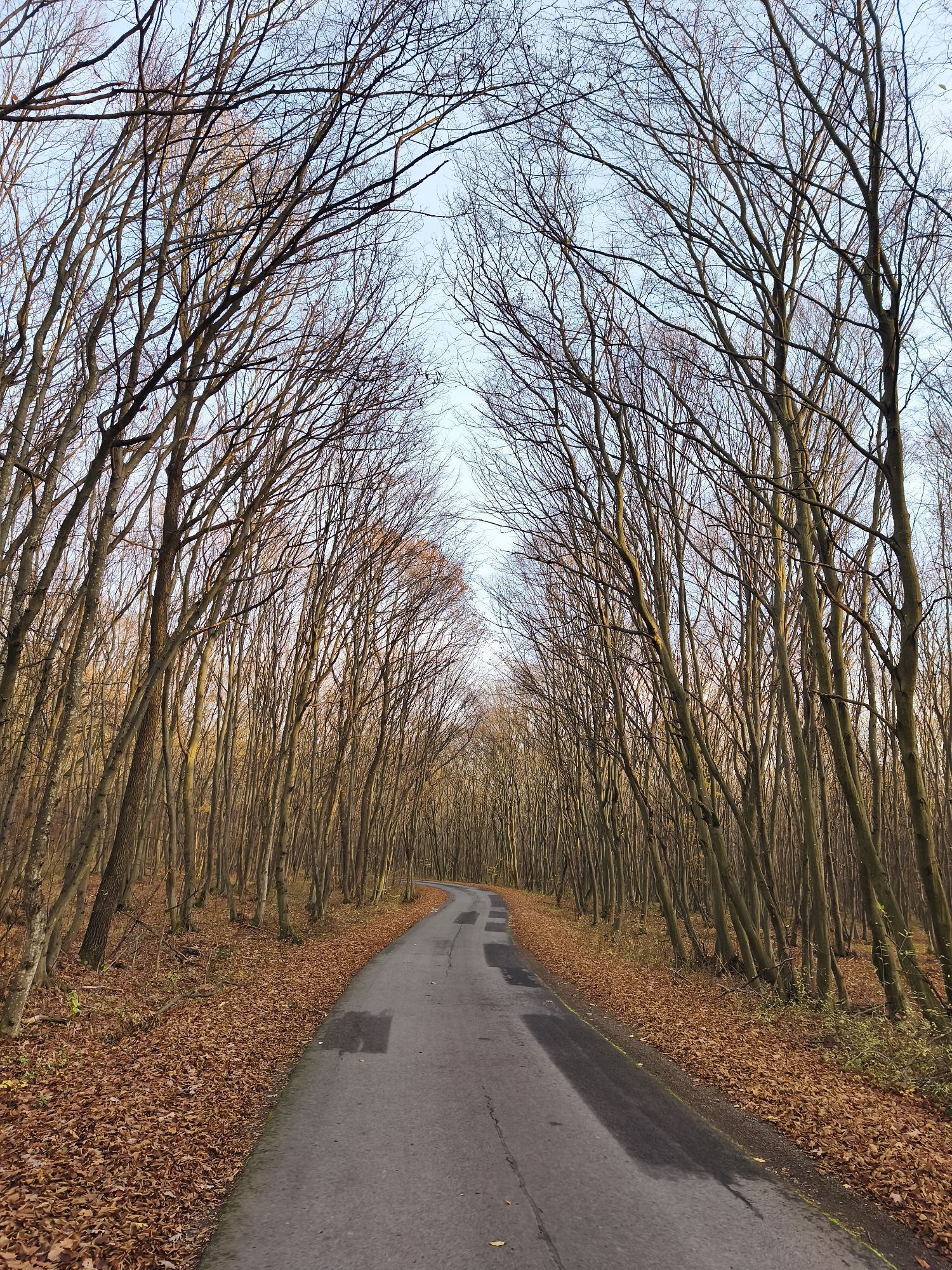
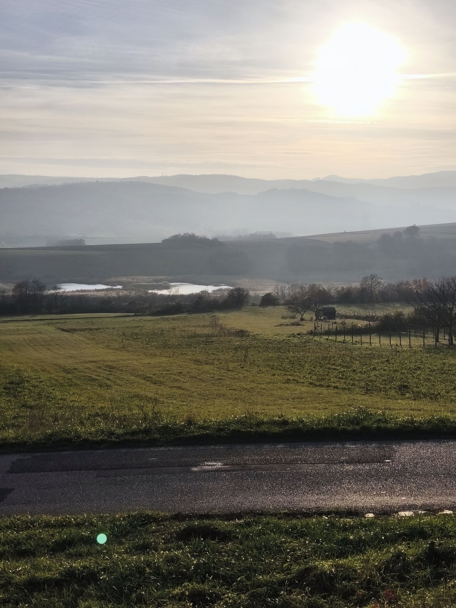
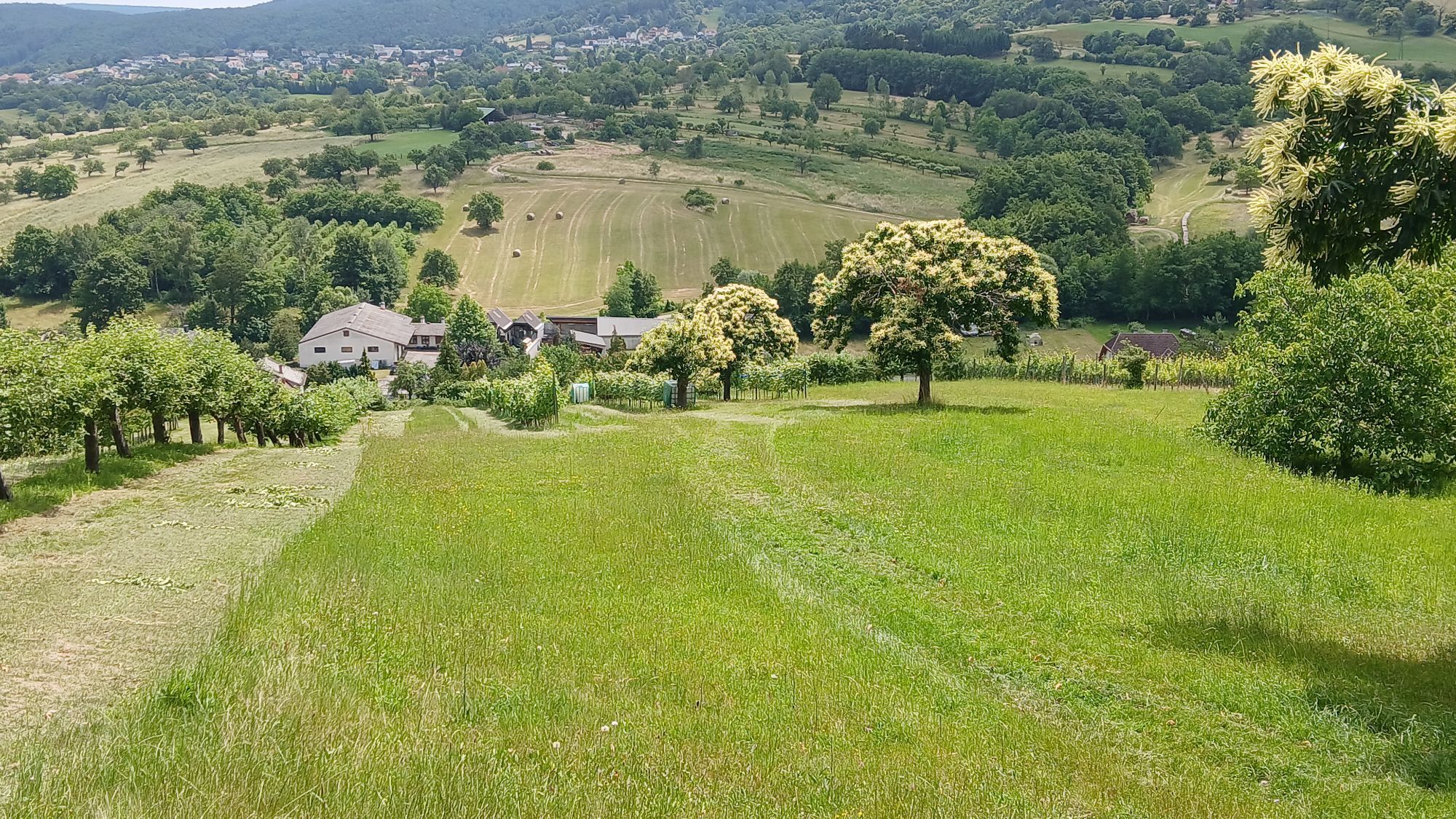
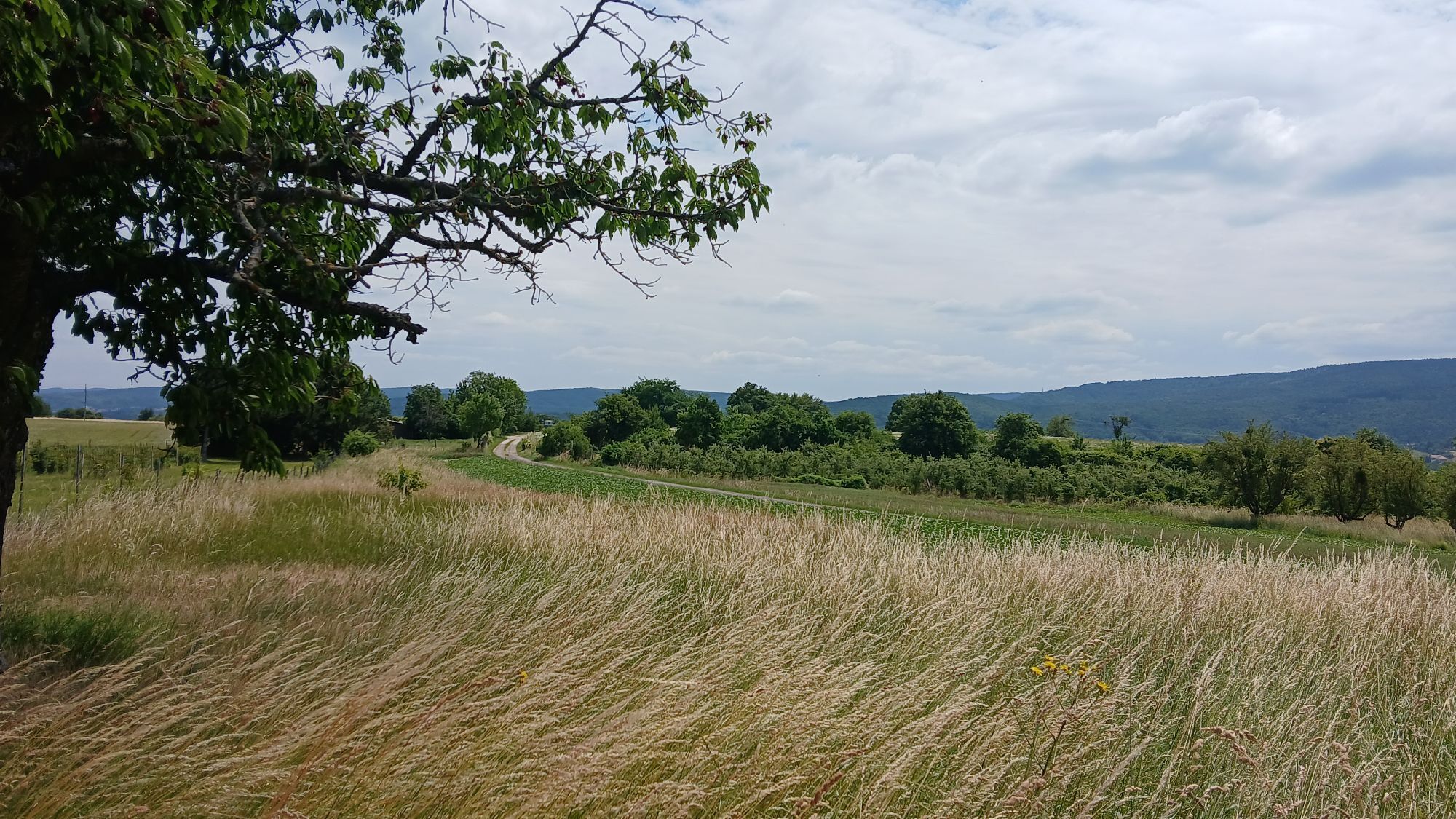
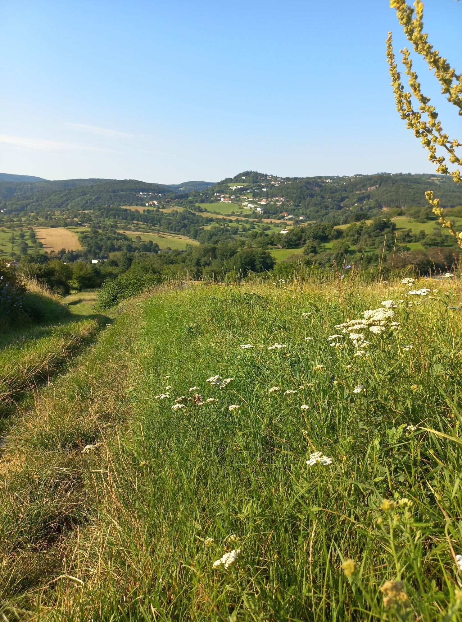
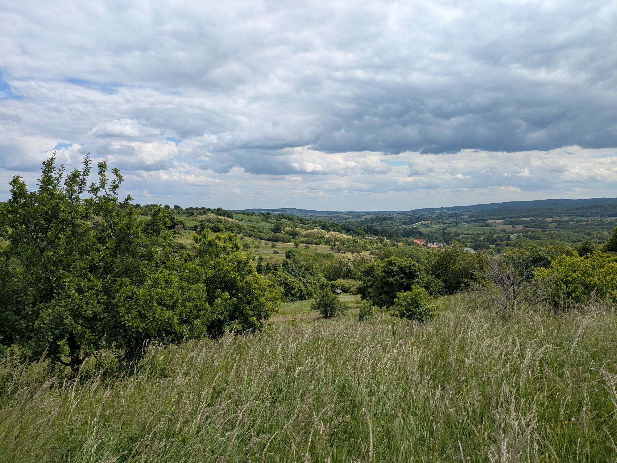
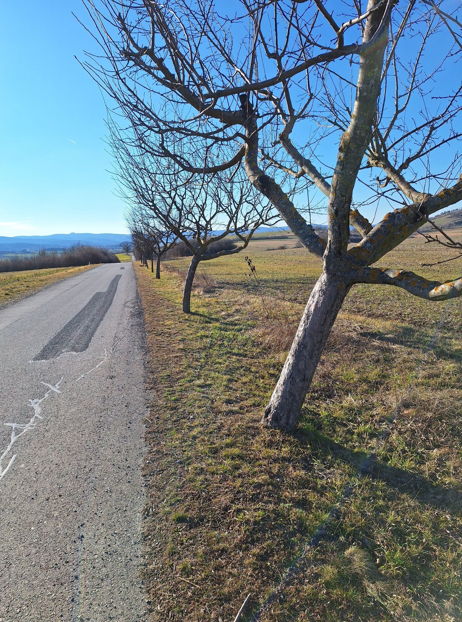
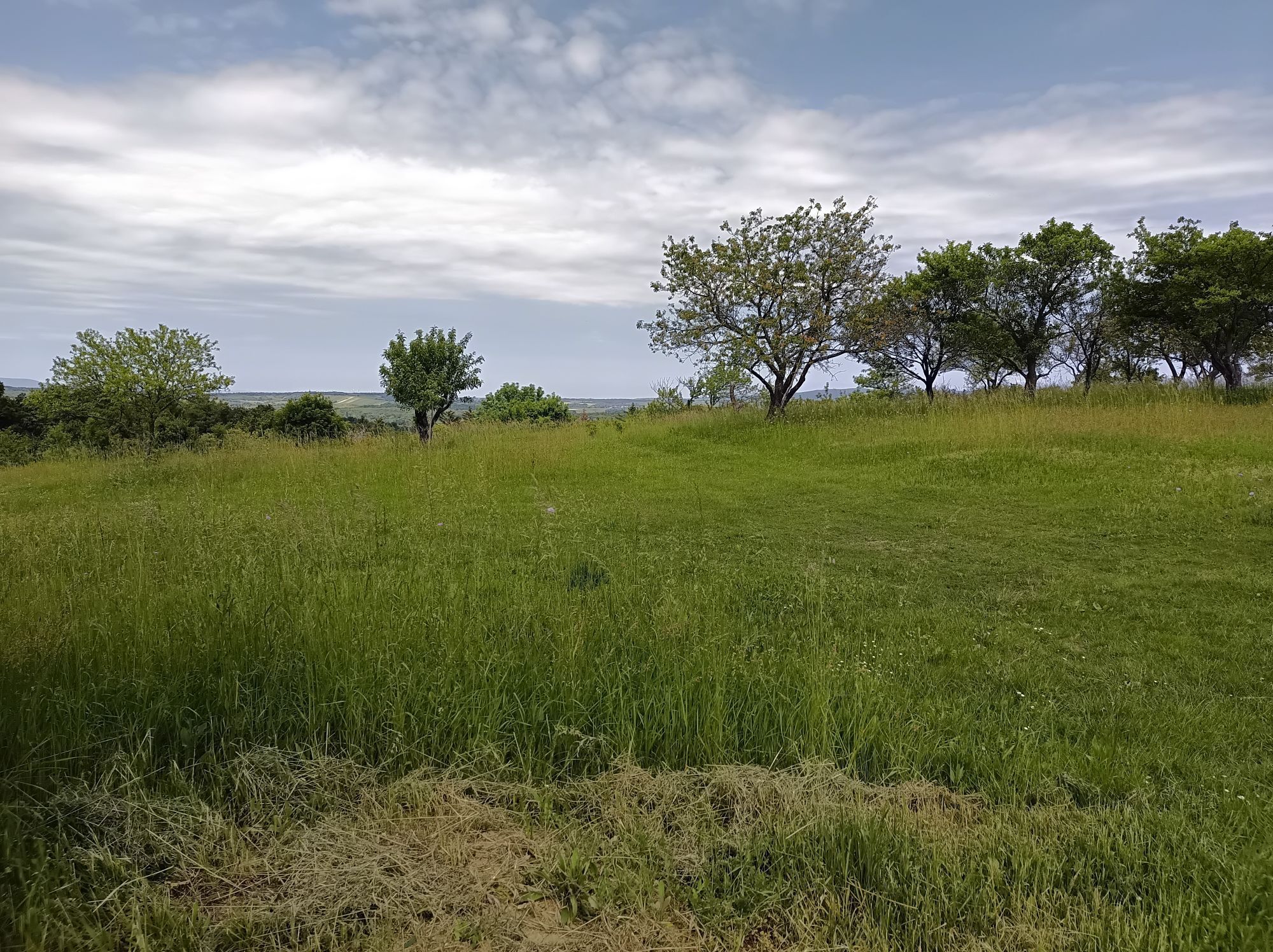
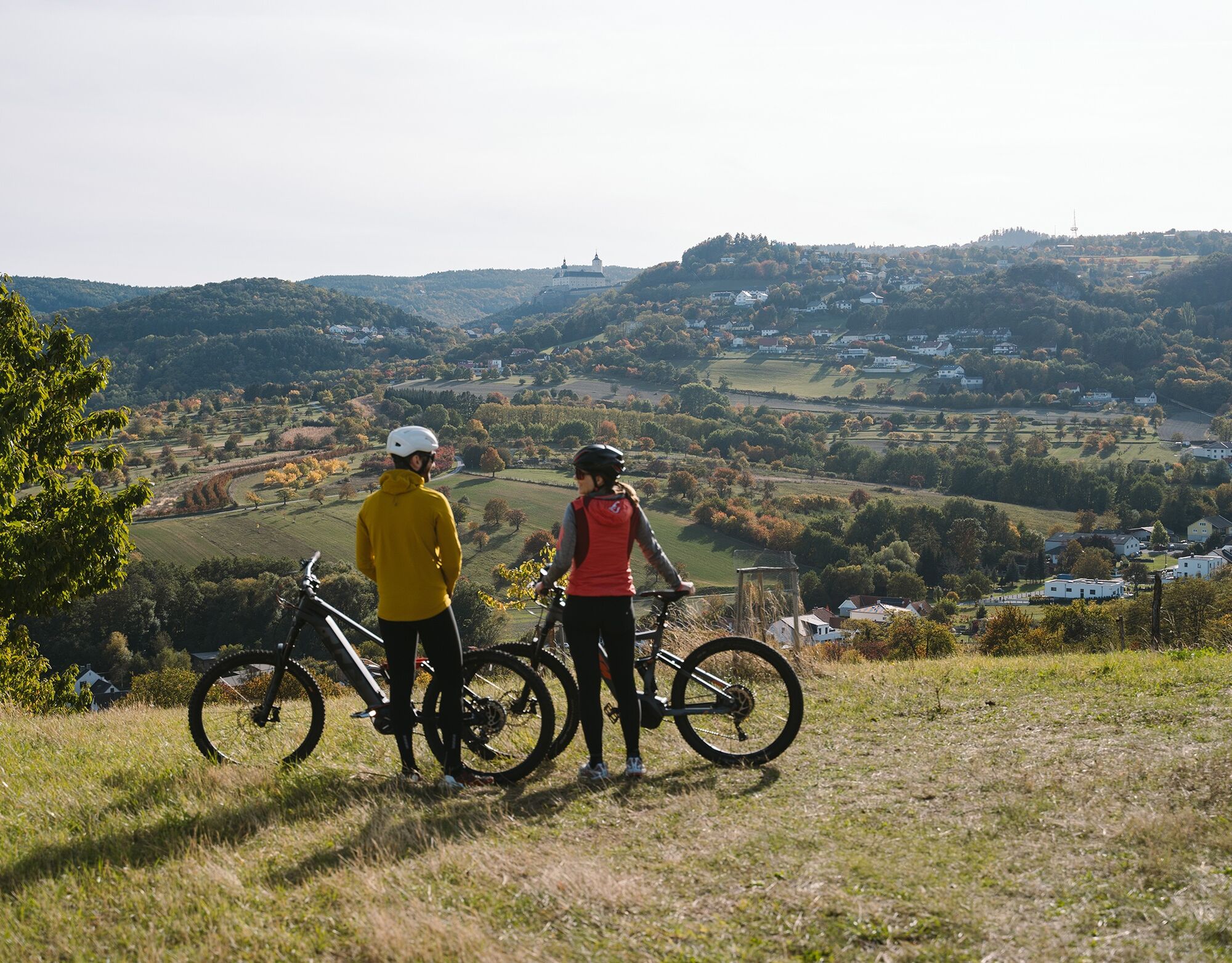
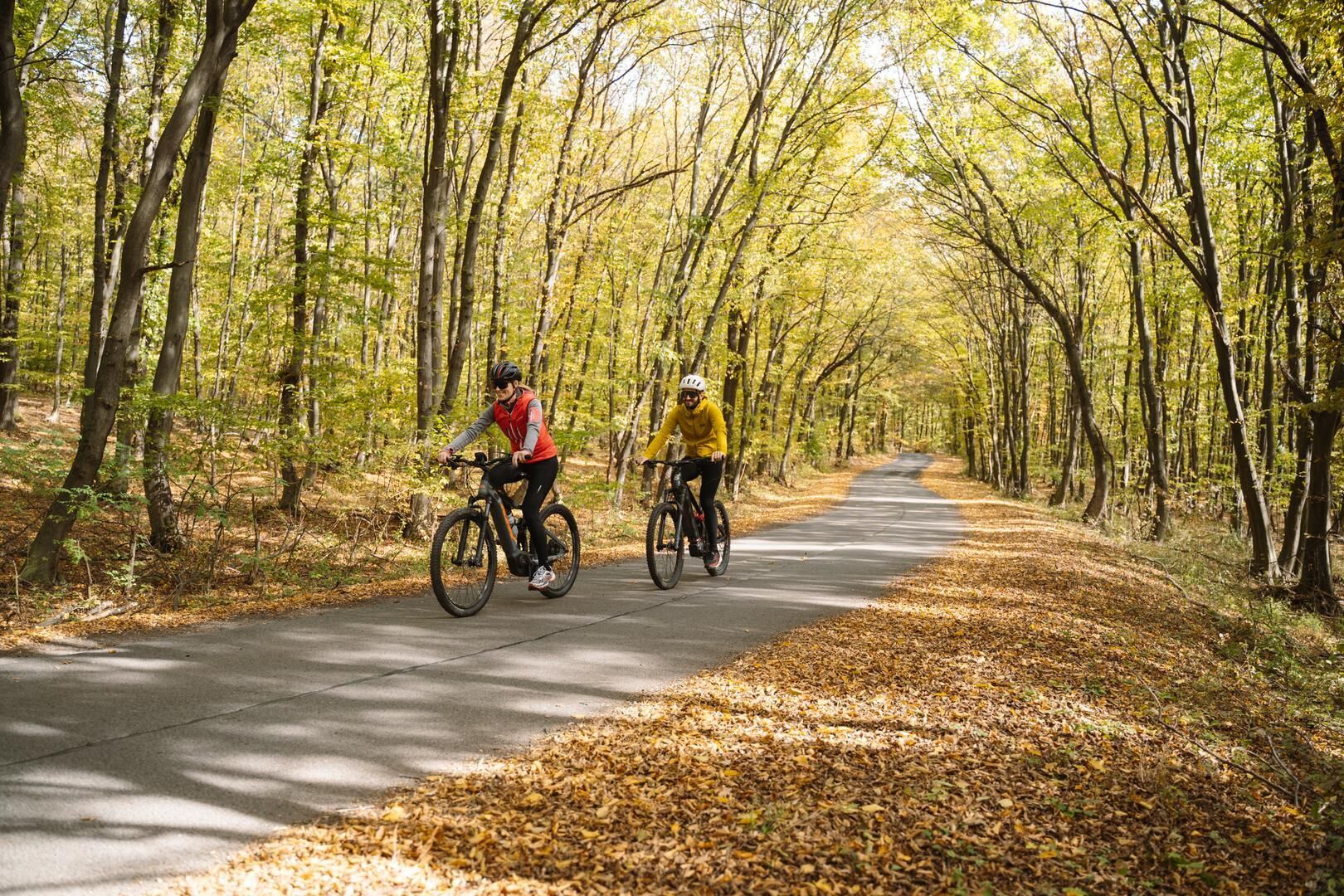
This charming circular route offers a few short, challenging sections, making it particularly popular with e-bikers and road cyclists. Picturesque orchards, strawberry fields, hedgerows providing structure,...
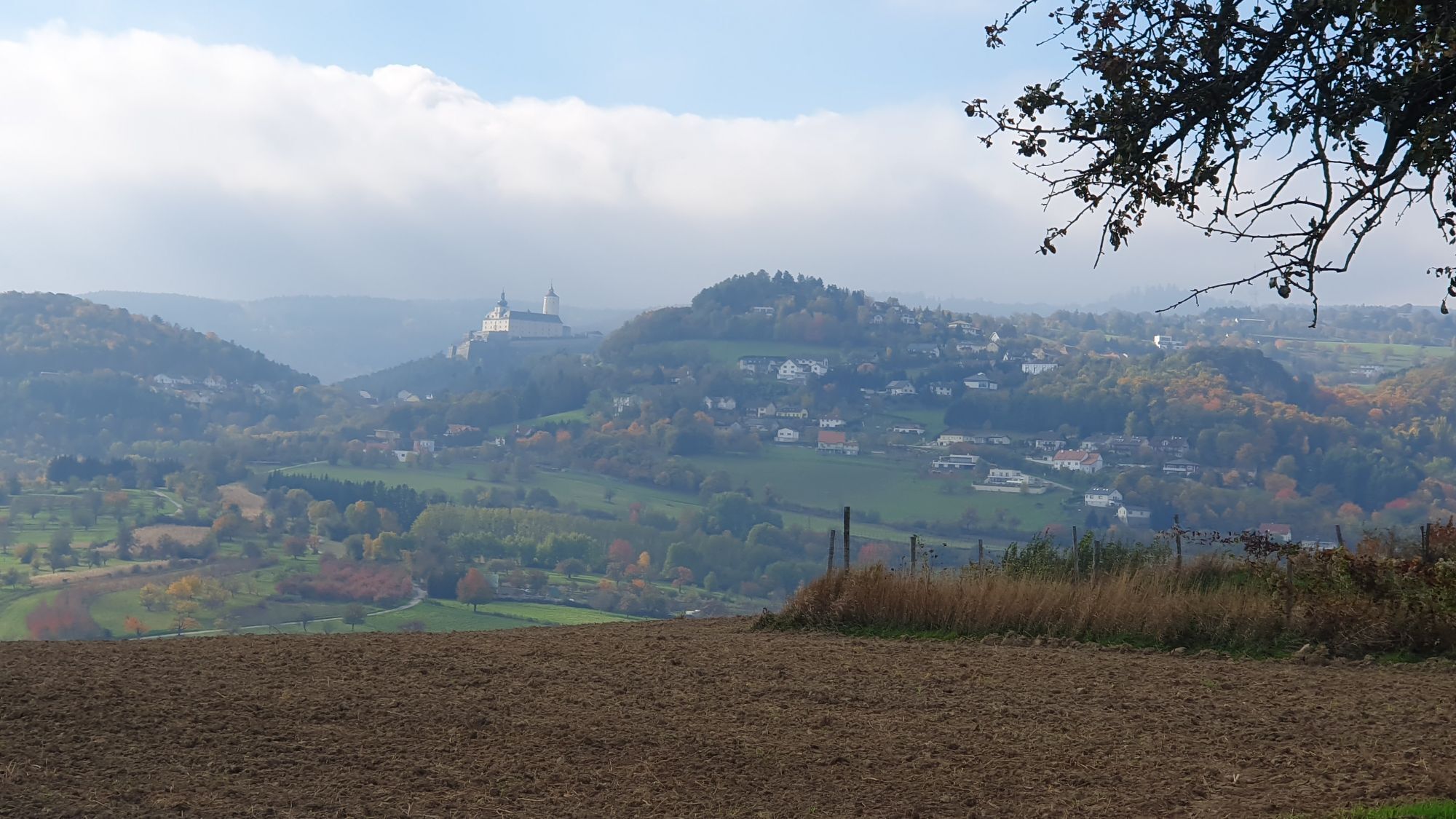
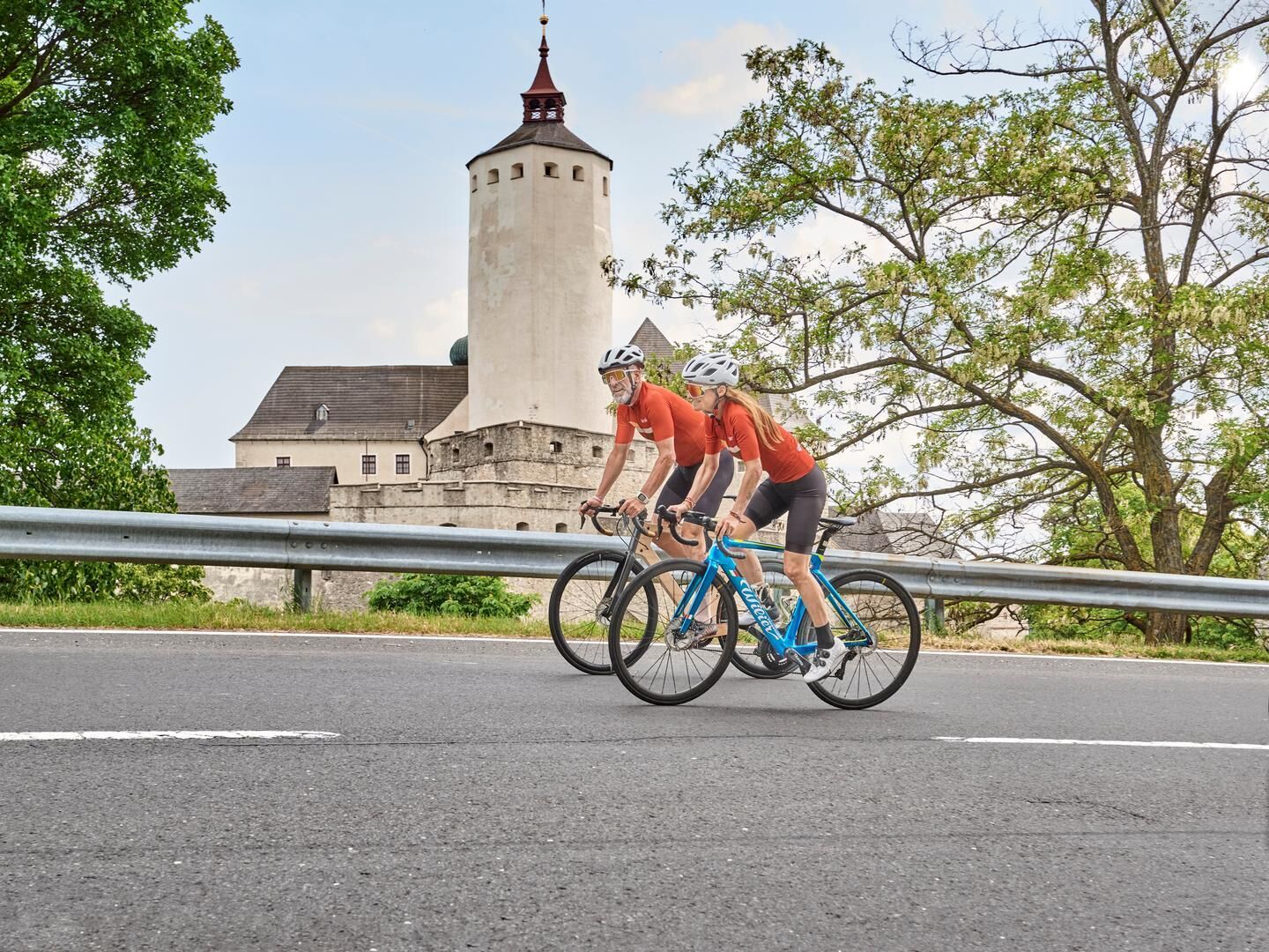
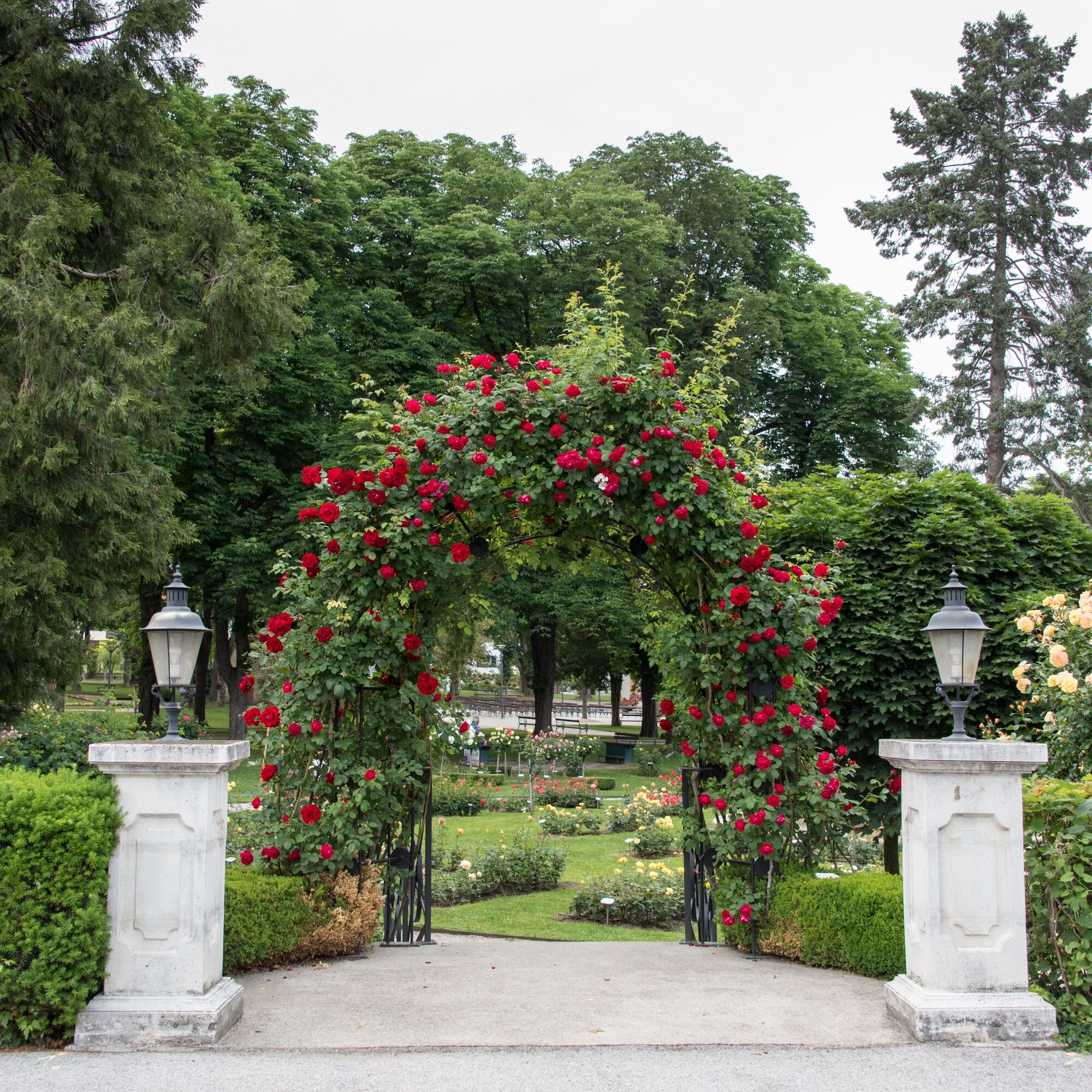
You certainly won't get bored here, as there is truly plenty to see and do, such as the permanent exhibition "Palace of Justice Fire" at the Schuhmühle in Schattendorf, the Pauliner Monastery in Baumgarten, the pilgrimage church of the Assumption of Mary with its carillon in Forchtenstein, the Jewish memorial in Mattersburg, the landscape art of Heinz Bruckschwaiger in Sigleß, the sculpture trail by Karl Prantl and international sculptors in Pöttsching, and much more. The spa park with its rose garden in Bad Sauerbrunn is a sea of ââcolor, especially during rose season, inviting you to stroll and linger. Numerous restaurants and cafes along the route offer opportunities to rest and enjoy good food and drink.


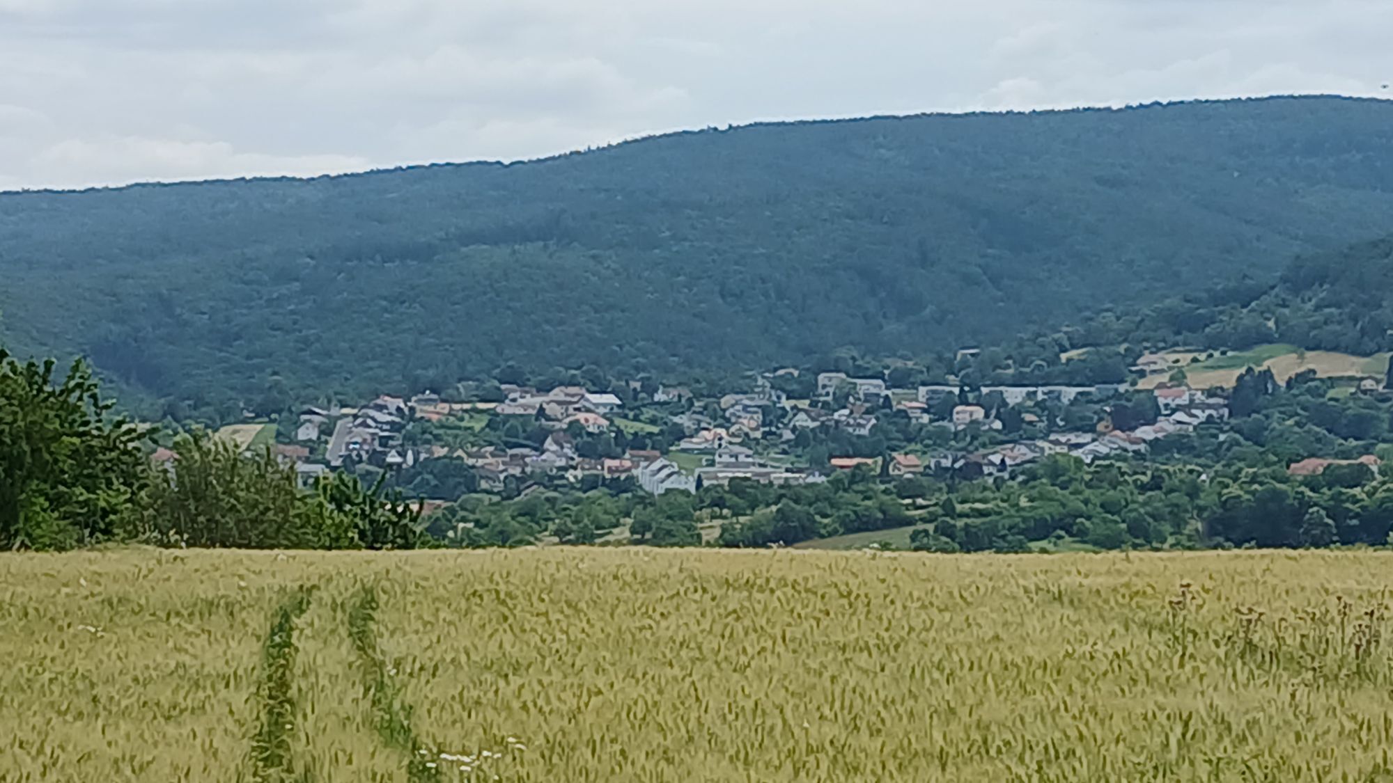
Towns on B32: Bad Sauerbrunn, Wiesen, Forchtenstein, Mattersburg, Walbersdorf, Marz, Rohrbach, Schattendorf, Baumgarten, Draßburg, Antau, Stöttera, Zemendorf, Pöttelsdorf, Krensdorf, Sigleß, Pöttsching.
Tak
Good footwear, sporty clothing, rain and sun protection, and a bottle of drinking water should always be with you.
In Austria, bicycle helmets are mandatory for children up to 12 years old. Reflective vests are not mandatory at dusk, in darkness, or in poor visibility but are certainly advantageous. Here is the Austrian bicycle regulation.
The most comfortable way to reach the region by car is via Vienna (via A1, A2, A3 or A4).
You can reach the Bad Sauerbrunn, Wiesen/Sigleß, and Mattersburg train stations from Vienna Central Station or Wiener Neustadt almost every half hour.
The region is also well-connected by bus.
The following route planners can help you plan your journey:
Burgenland Transport Authority: www.verkehrsbetriebe-burgenland.at/fahrplan-verbindungen
Austrian Federal Railways (ÖBB): www.oebb.at or ÖBB Scotty App
Eastern Region Transport Association (VOR): www.vor.at or VOR AnachB App
Local mobility:
The Burgenland on-demand shared taxi service "BAST" bridges the last mile and improves accessibility to individual communities in Central Burgenland. Just one call is all it takes, and BAST will arrive at the designated stop at your desired departure time.
Operating hours and terms of carriage: www.bast-burgenland.at
Park & Ride Bad Sauerbrunn, or free in any town on the route
2
On this bike path, the bathing lakes in Forchtenstein, Neudörfl, and Rohrbach provide cooling on hot days.


Popularne wycieczki w okolicy
- 4,7
Naturlehrpfad Katzelsdorf
światłoWędrówka 3,81 km - 4,5
To the Wiesen/Lanzenkirchen observation tower from the Rosalia
światłoWędrówka 4,25 km - 4,6
Gespitzter Riegel - Bad Sauerbrunn
światłoWędrówka 8,85 km - 4,6
Forchtenstein-Rosalienkapelle
światłoWędrówka 7,86 km - 4,0
Rosalia: Lanzenkirchen - Aussichtsturm
światłoWędrówka 11,1 km - 4,6
M32 On the Gspitzter Riegel from Bad Sauerbrunn
średniWędrówka 8,73 km - 4,2
MTB Buma Bia - route
Mountainbike 25,5 km - 4,5
B30 Kogler cycle path
średniJazda na rowerze 32,0 km - 4,3
Hiking "Following the footsteps of Salah he", Forchtenstein
średniWędrówka 9,11 km - 3,1
Rundwanderung zum Herrentisch
średniWędrówka 13,7 km
Wędrówki i tropienie


Nie przegap ofert i inspiracji na następne wakacje
Twój adres e-mail została dodana do listy mailingowej.