







N24 Circular route Oslip-Schützen-Oggau
Poziom trudności: T1
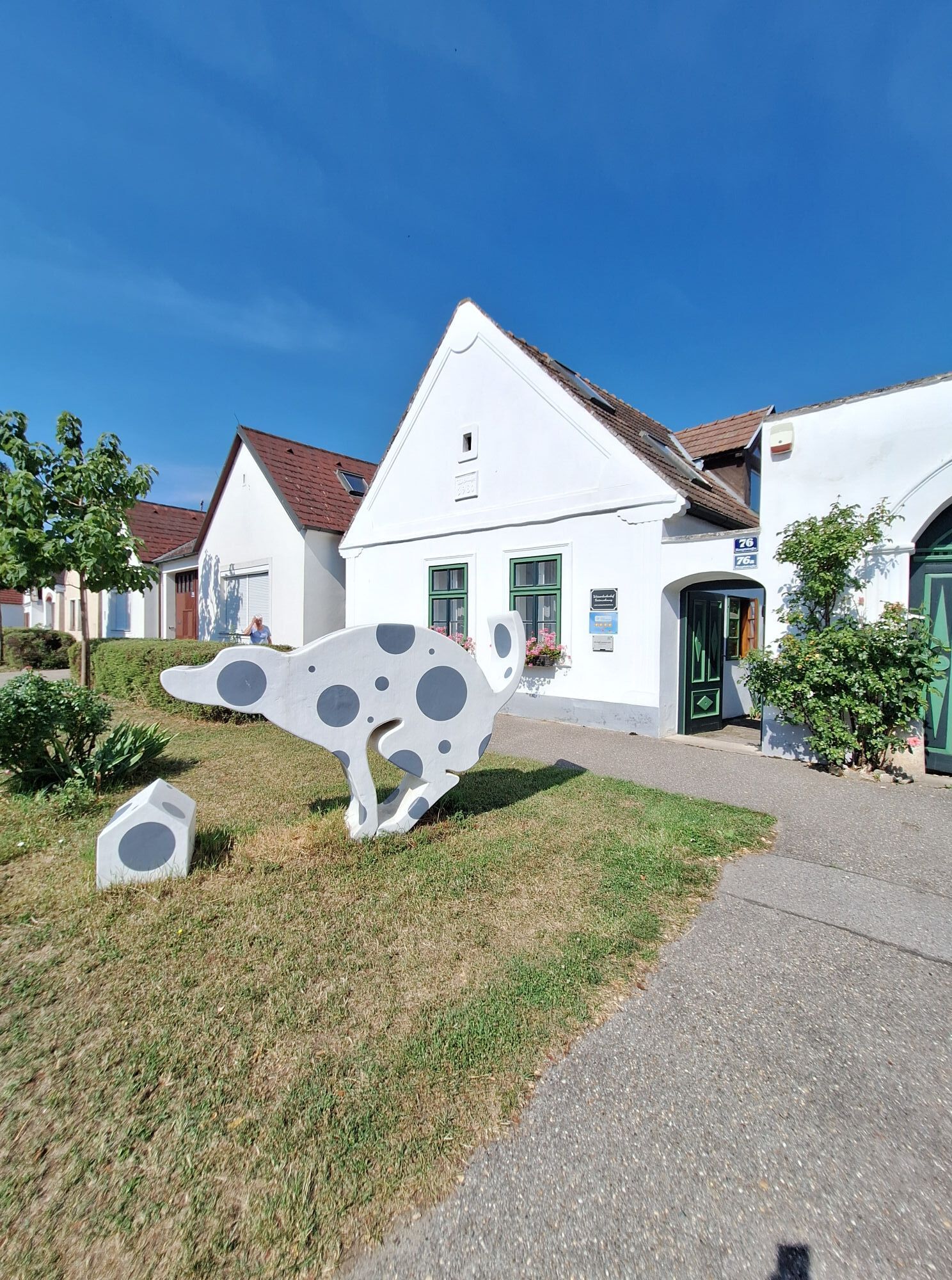
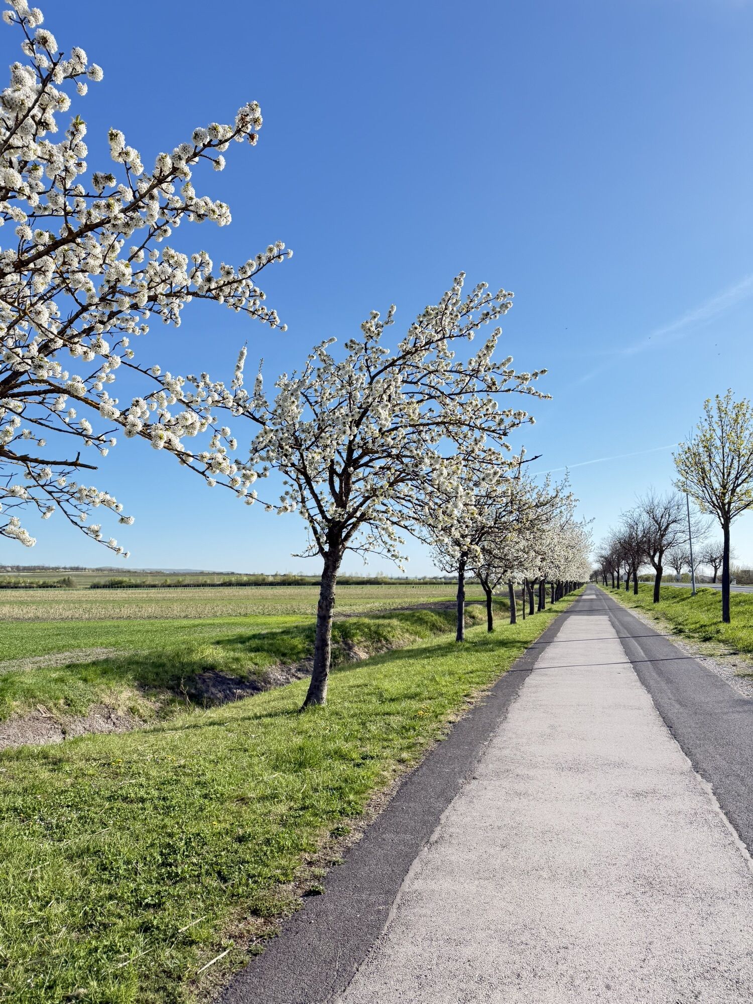
This circular hiking route delights with a fantastic view of Lake Neusiedl, over the surrounding vineyards, and a wide horizon. Hike through Oslip, Schützen am Gebirge, and Oggau on Lake Neusiedl, past...
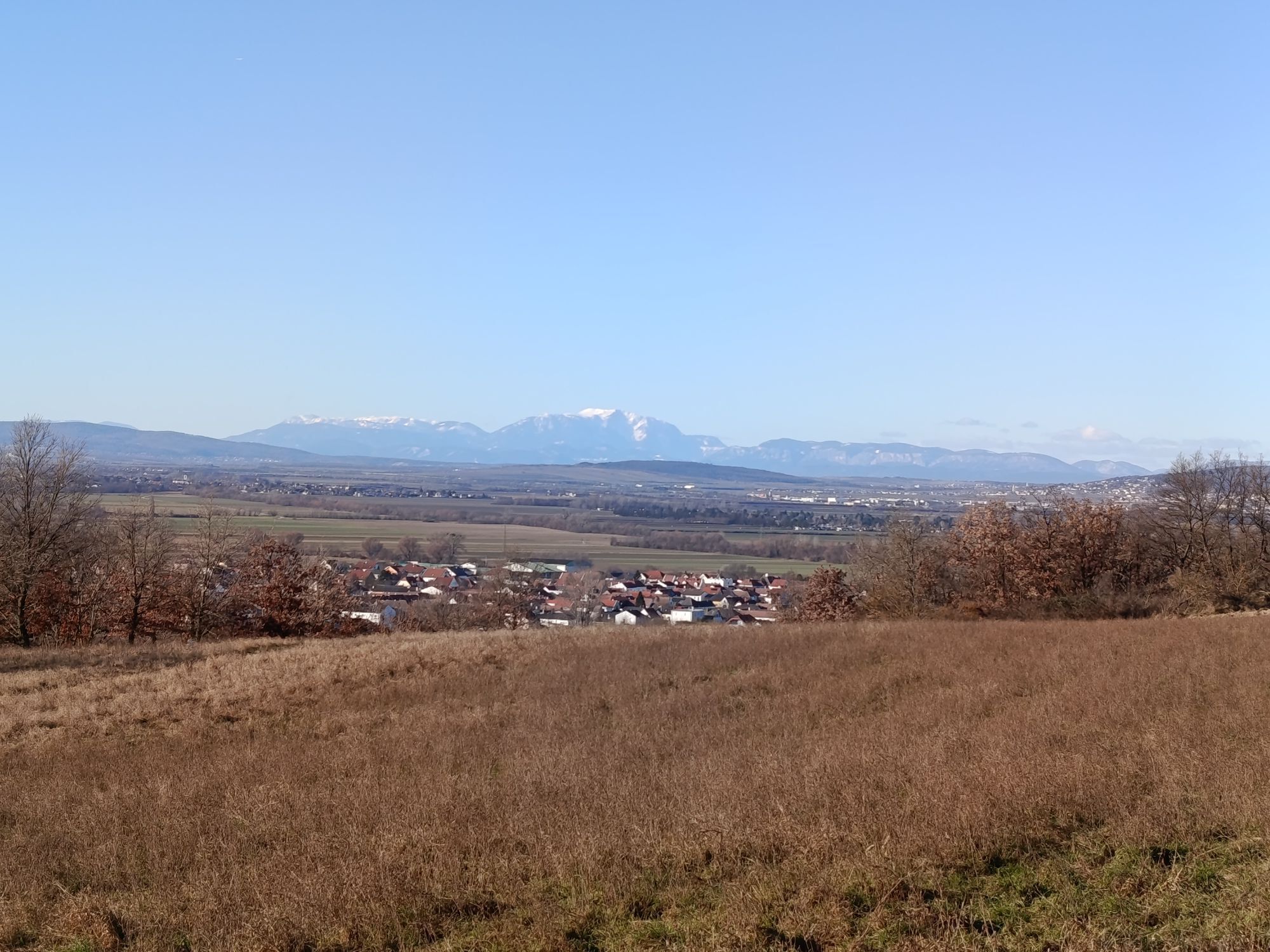
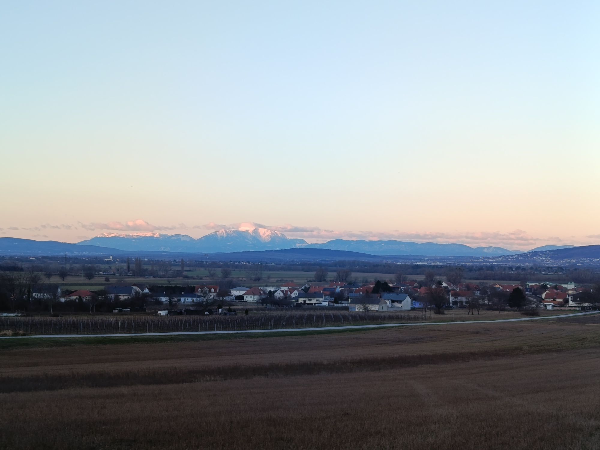
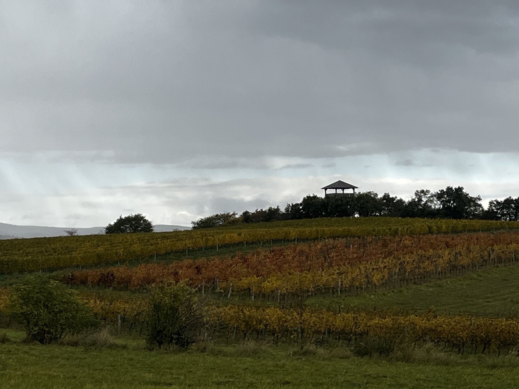
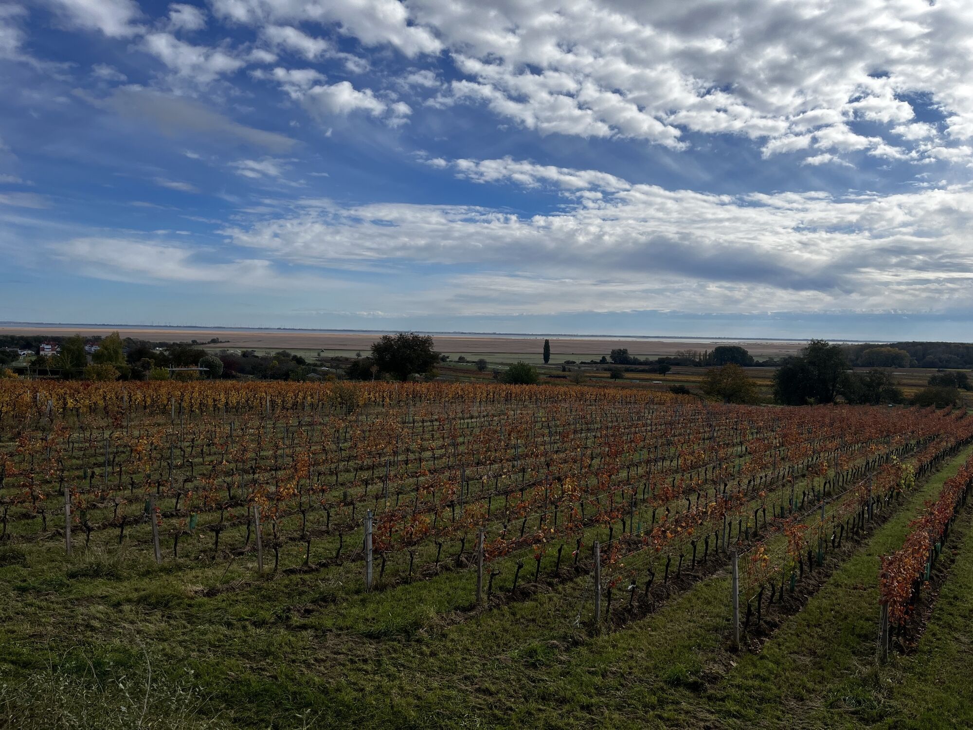
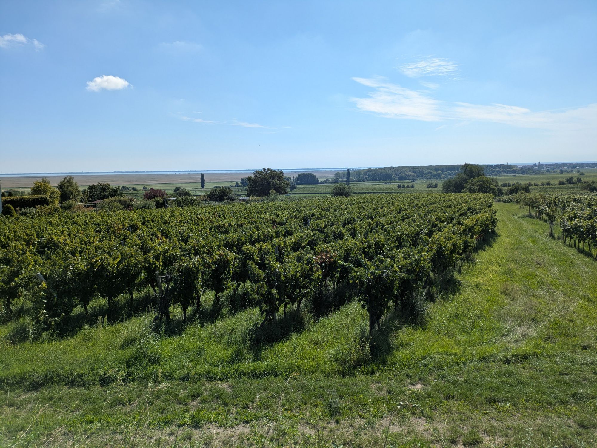
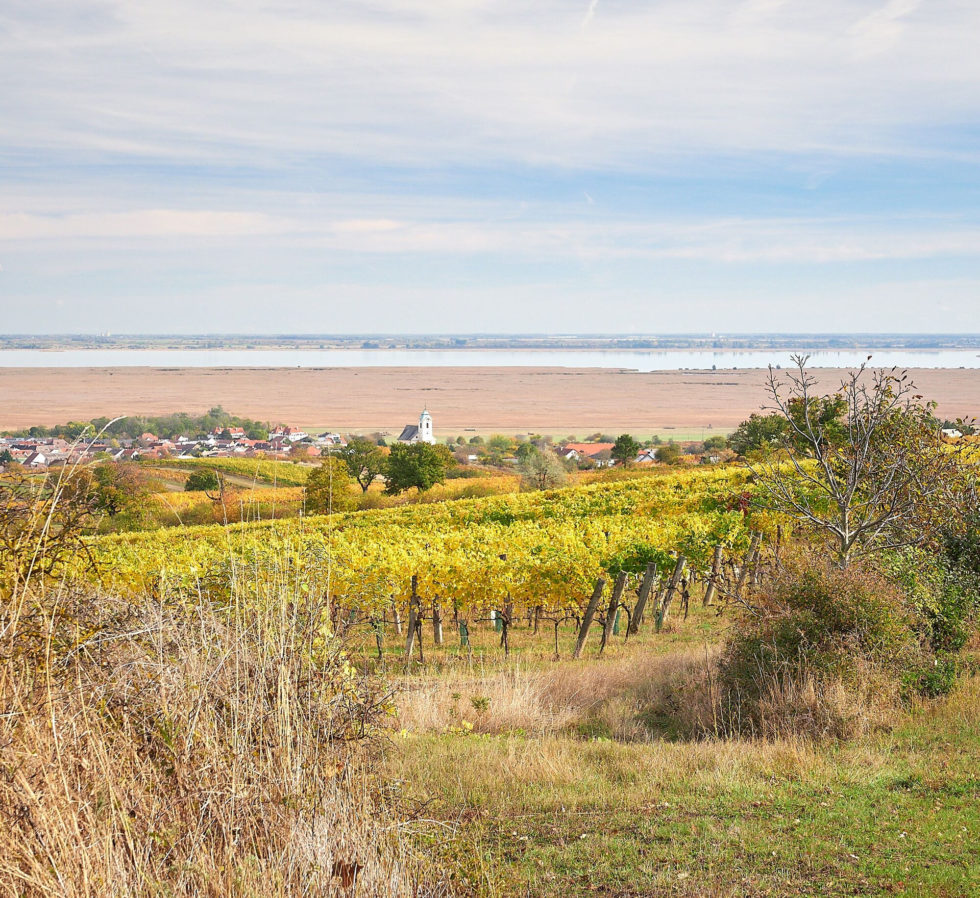
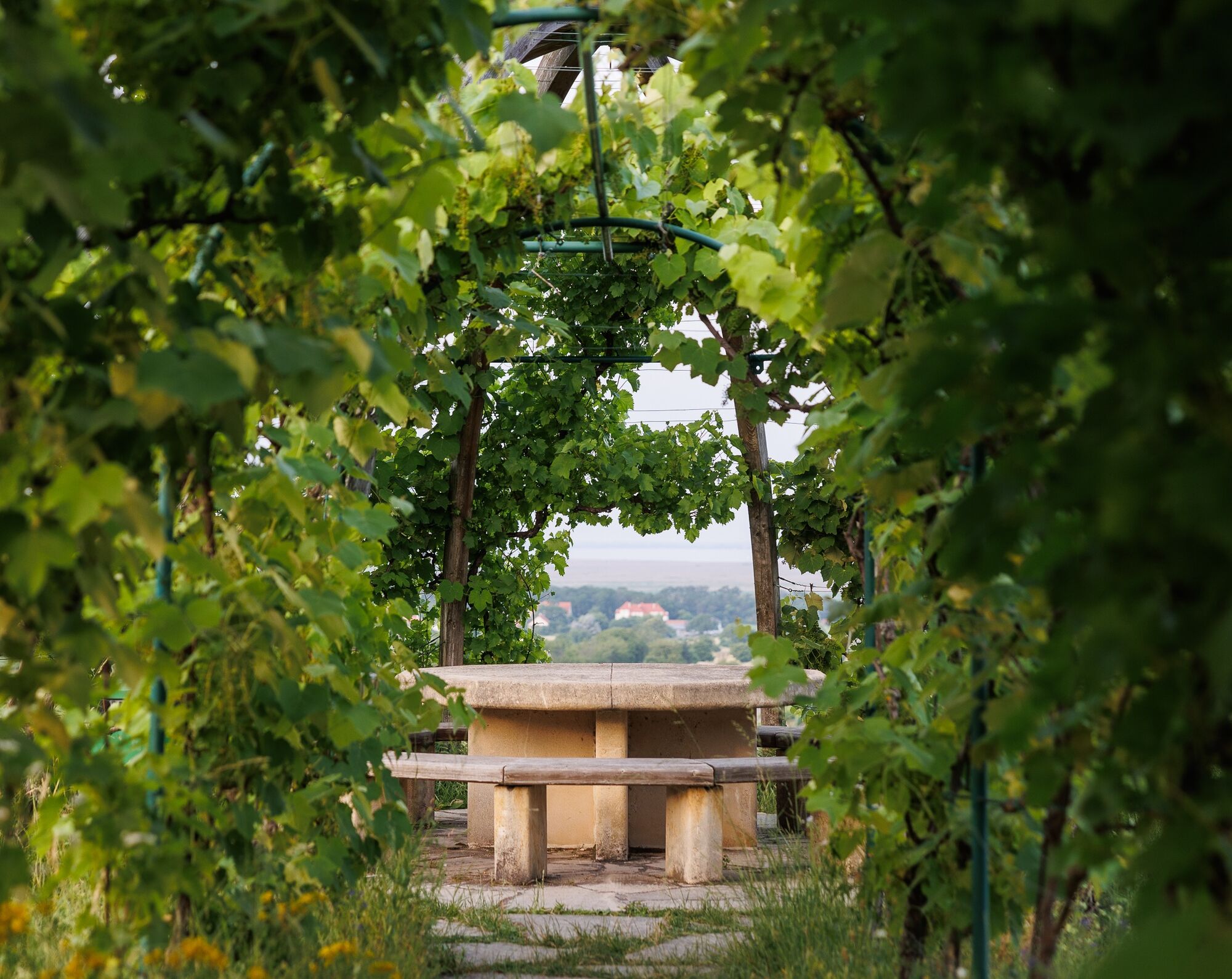
This circular hiking route delights with a fantastic view of Lake Neusiedl, over the surrounding vineyards, and a wide horizon. Hike through Oslip, Schützen am Gebirge, and Oggau on Lake Neusiedl, past the UNESCO observation tower, lovingly designed stations, and rest areas right in the vineyards. Along this route there are some highlights where you should definitely take a break: Weinlaubenkuppel Oggau, Goldberg viewing platform, observation tower in Schützen, the Seeber cross, the Wulka river, and the Eisbach stream. In the villages themselves, you walk past typical Burgenland gabled houses, elongated farmsteads, and impressive churches.

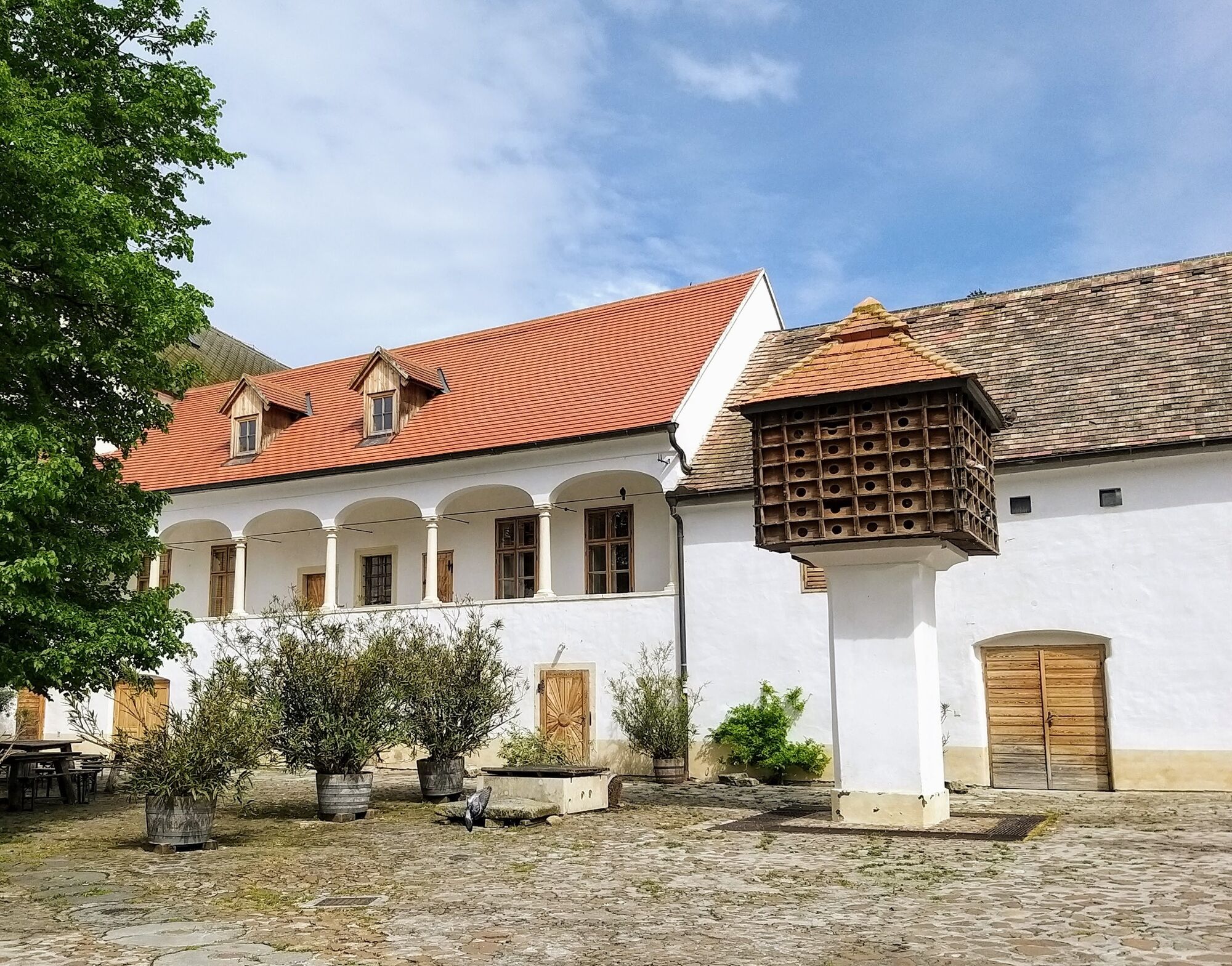
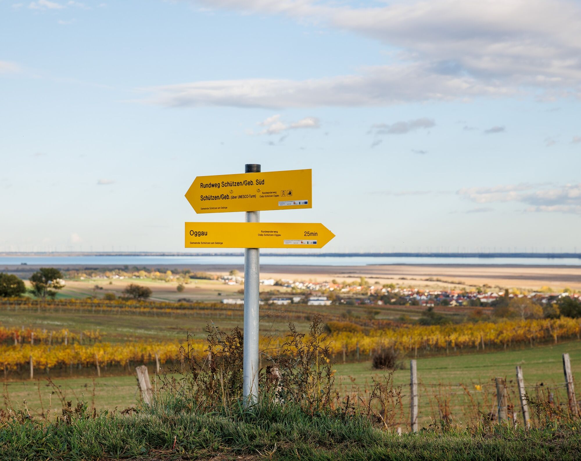


The official starting point is in the village center of Schützen am Gebirge. However, you can also start at Schützen station. From there, the route leads to the village center (church square) and the official start of the route.
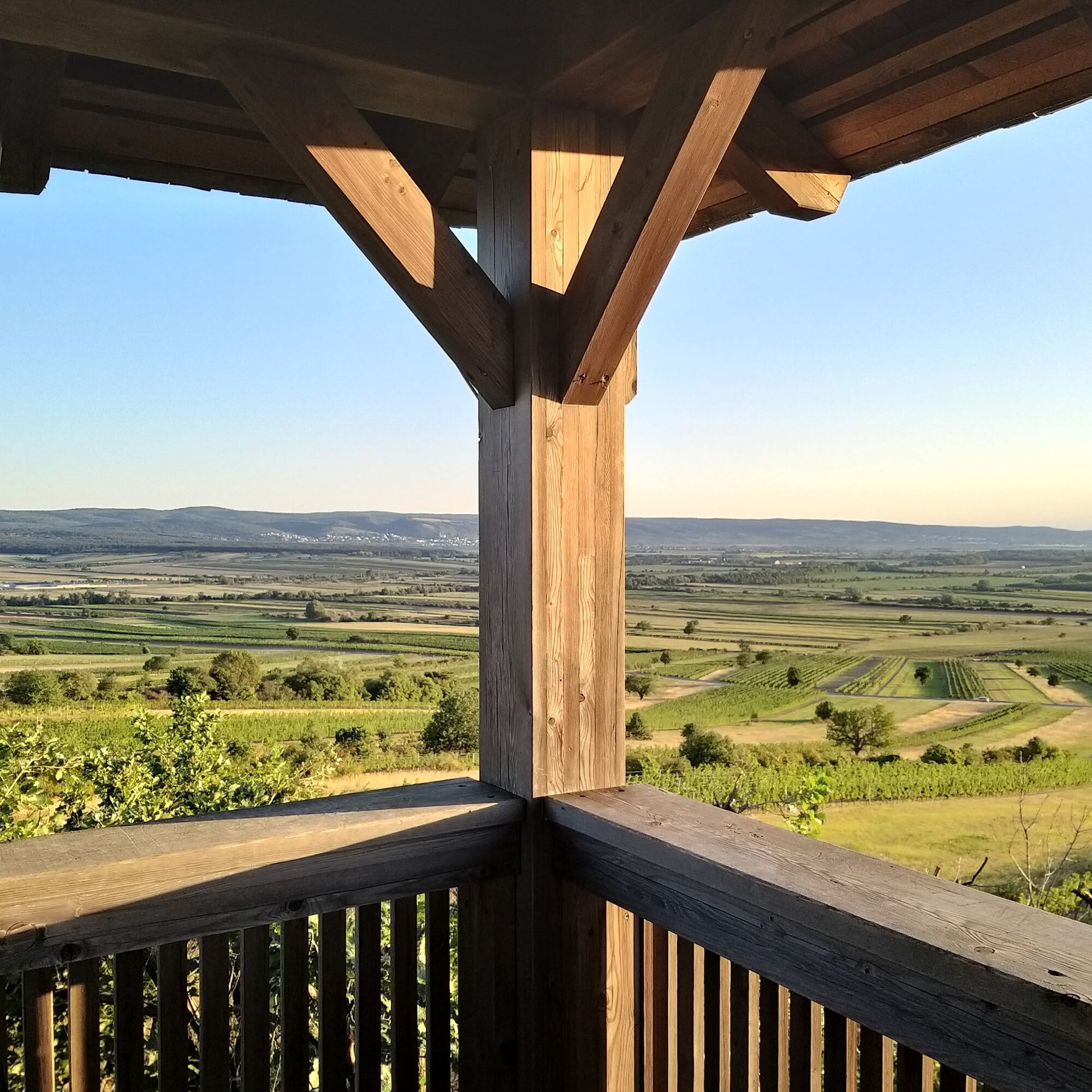
From Schützen am Gebirge, you go through the quiet village towards Goldberg through vineyards and sunflower fields to the first highlight on the route - the observation tower “View into the World Heritage” - and here the name is program. You have a wonderful view over the mosaic-like landscape, Lake Neusiedl, and the steppe.
Next, the route goes towards Oggau on Lake Neusiedl and the small, well-maintained vineyards lined by natural meadows, hedges, shrubs, and walnut trees.
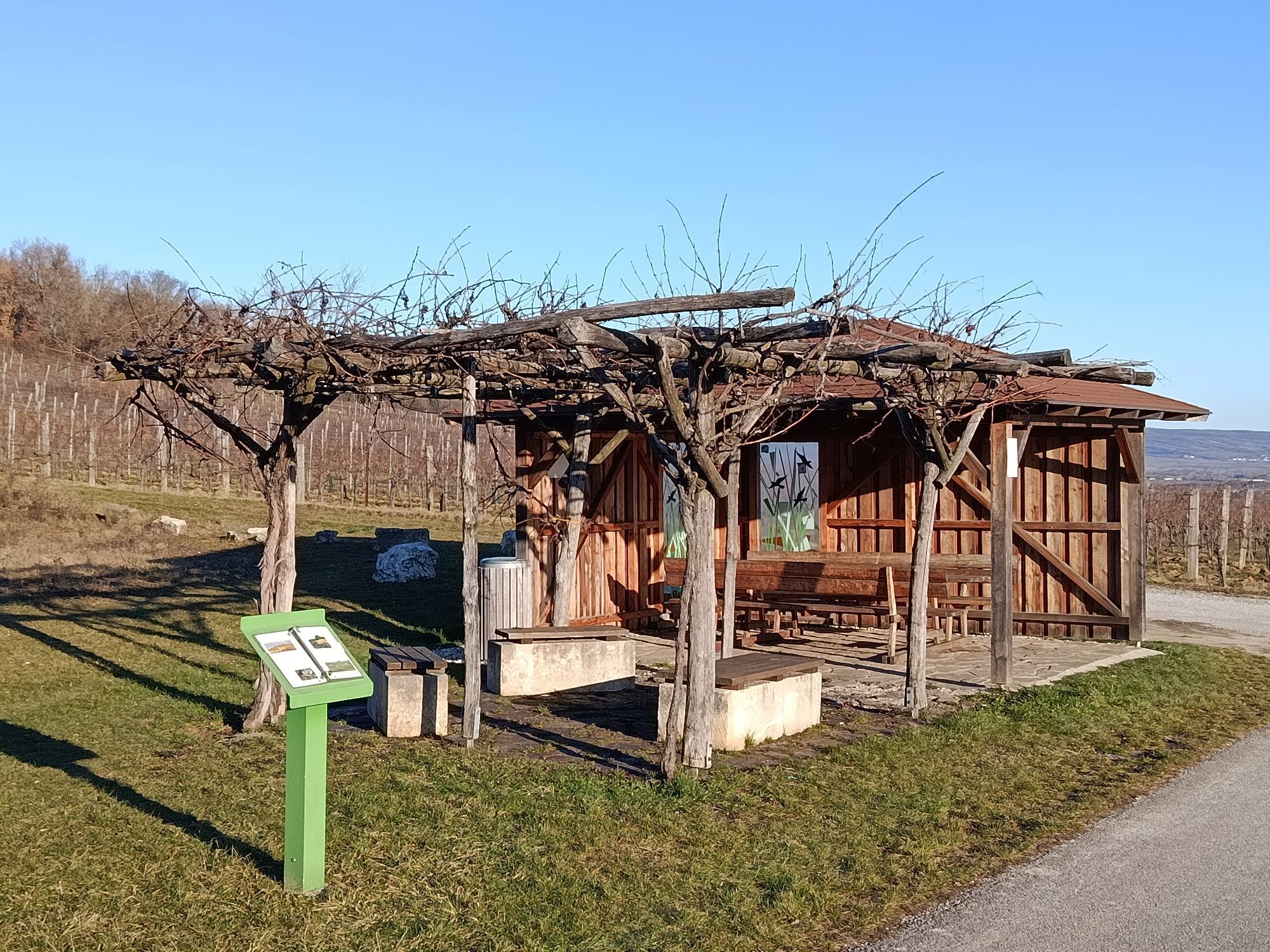
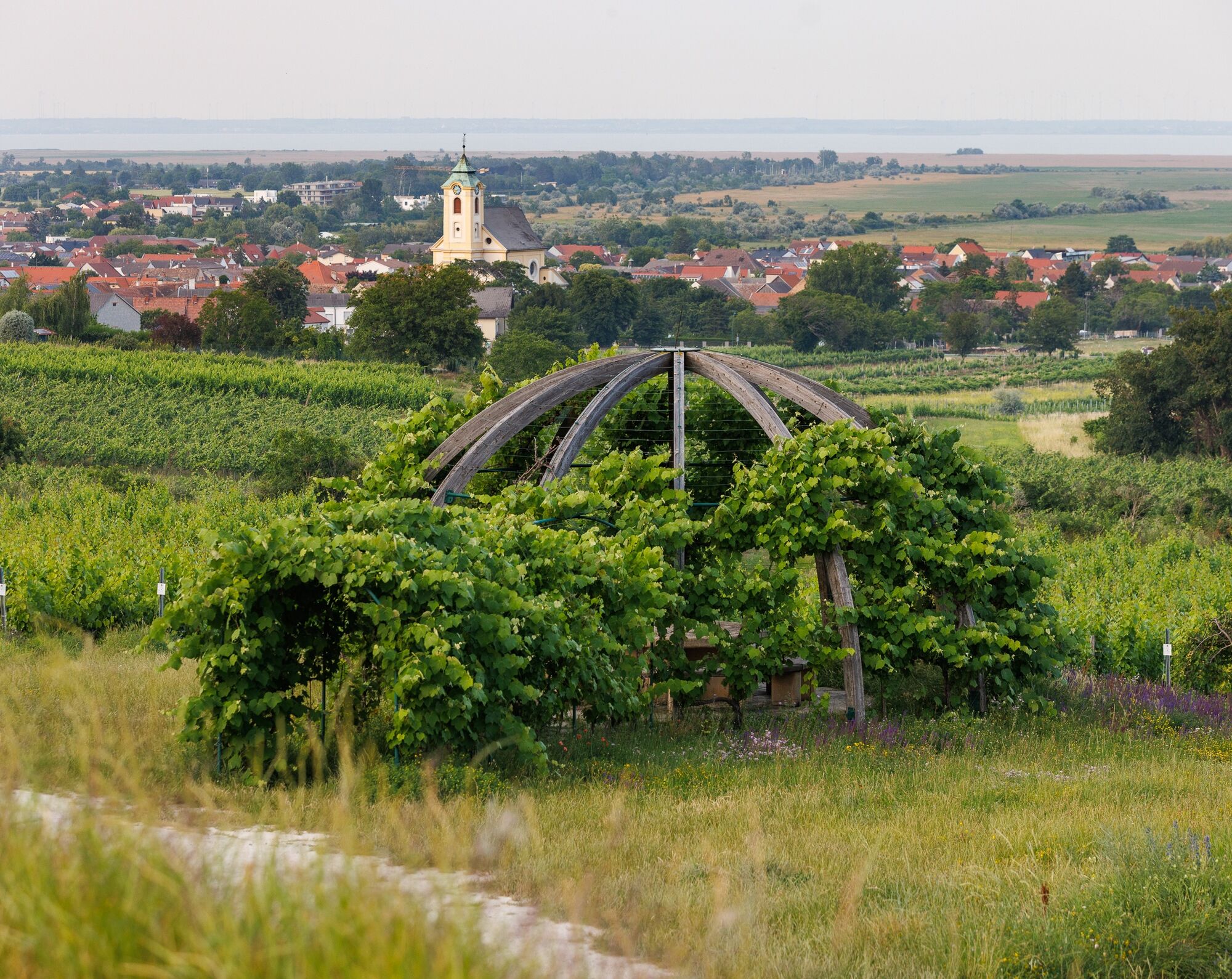
From Oggau on Lake Neusiedl, you join the Oggau wine route, designed with lots of love to detail that presents the theme of wine both informatively and visually perfectly. Old tools that you can look at, beautifully designed rest areas such as the Weinlaubenkuppel, slightly off the main path but definitely worth seeing.
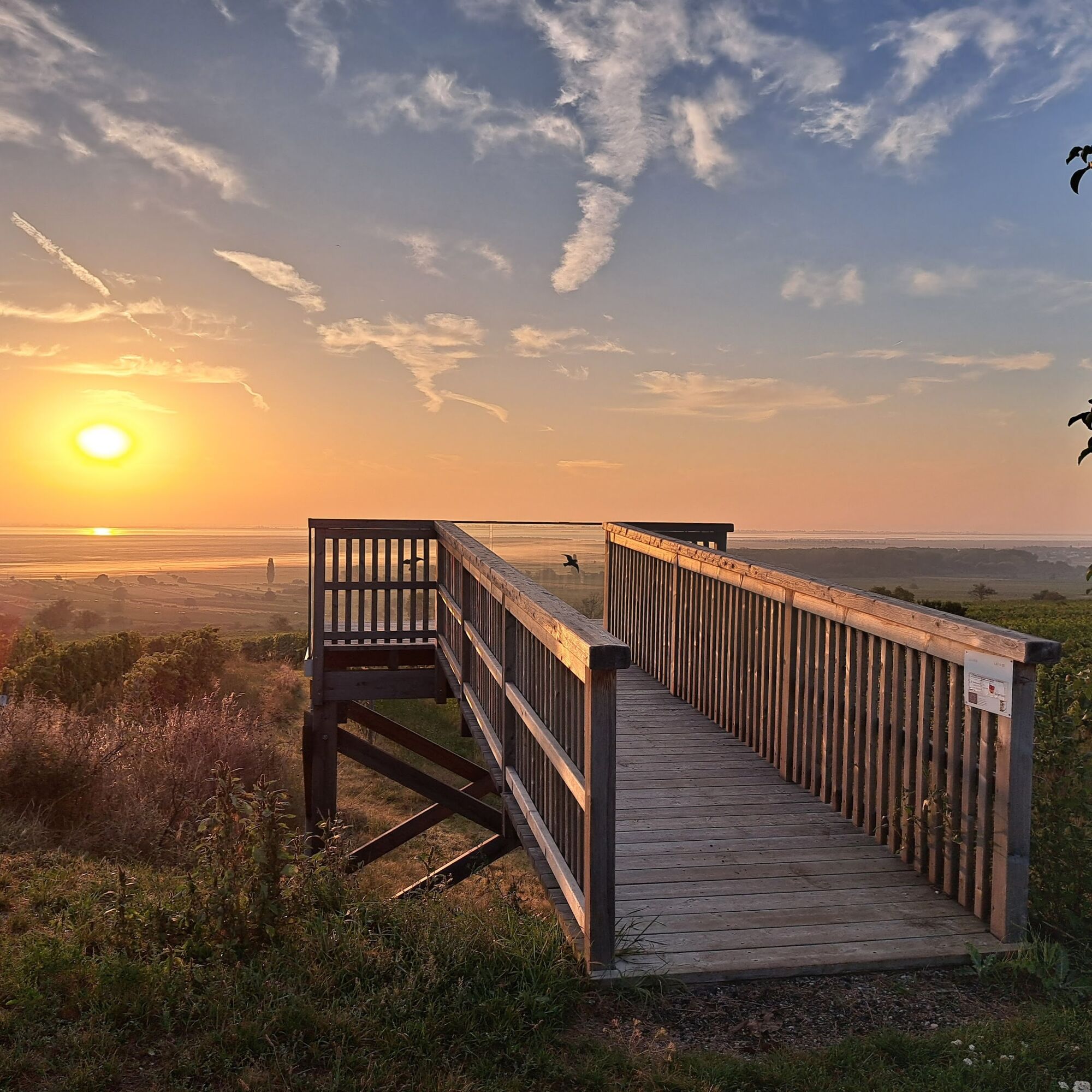
You should definitely plan a bit more time while hiking to also enjoy the beautiful wide views - for example from the Goldberg viewing balcony - this place invites you to linger - especially a wonderful spot to admire the sunrise over Lake Neusiedl.
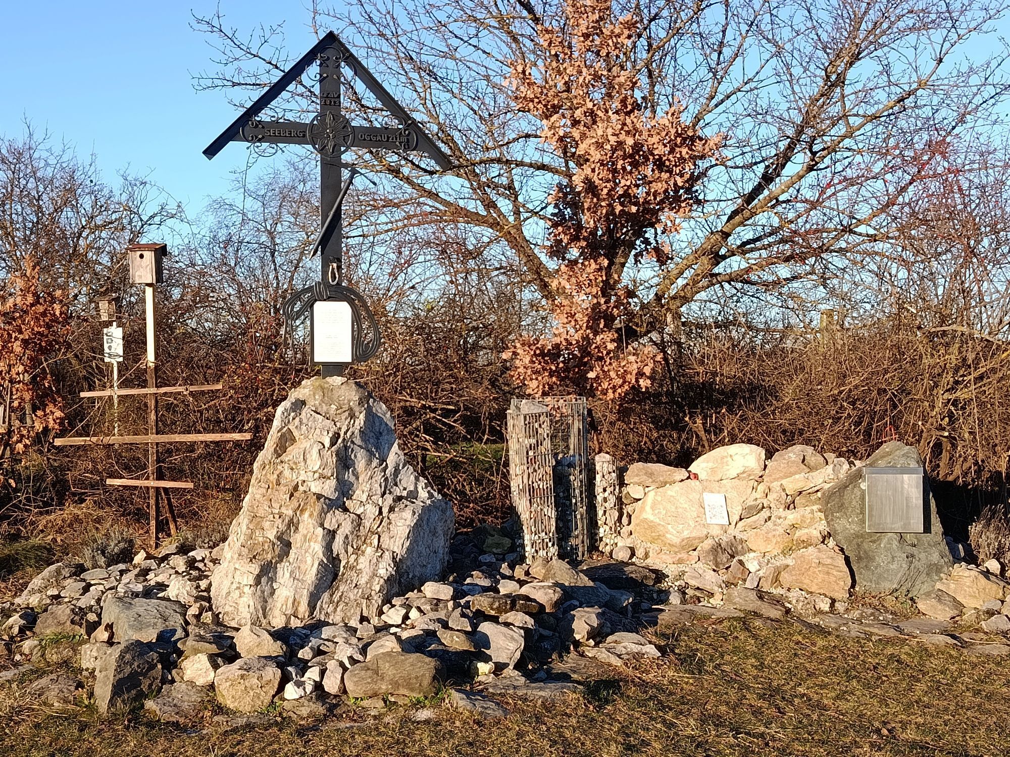
After a short break, the route continues through the wine-growing landscape until reaching the next highlight - the Seeberg Cross, actually the lowest summit cross in Austria at 211 meters elevation - a truly lovingly designed shady place with a hiking library for browsing and relaxing.
After this summit experience, you continue towards Oslip.
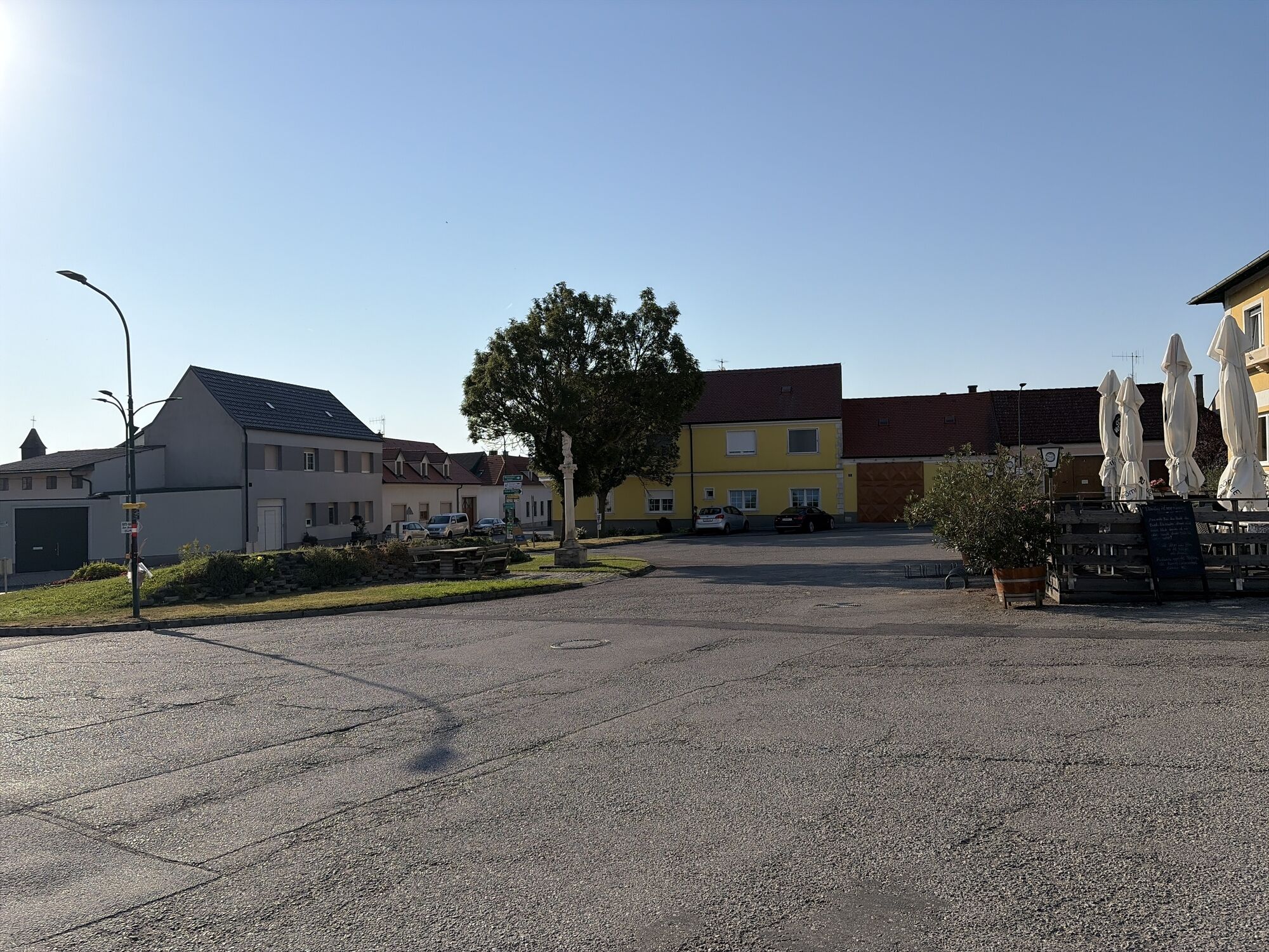
In Oslip, a beautiful village in the old Burgenland style, the old, partially staggered elongated farmsteads stand on both sides of the wide village street. Oslip lies embedded in the Wulka plain, between the gentle slopes of the Ruster hill country and the Leitha Mountains.
A highlight in Oslip itself is the beautiful ensemble at the village square with church and Marian column and not far from there a well-frequented stork’s nest - possibly the most Pannonian you can get.
The final section leads from Oslip back to the starting point at Schützen am Gebirge. First along the Wulka, past the fish pond through a beautifully peaceful riparian landscape and then further along the Eisbach stream - a beautiful section lined with meter-high blackberry bushes, wild plums, a delightful ending for the hikers.
Especially beautiful are also the hundreds of Blue-winged Jewel-winged dragonflies that call the Eisbach home and sparkle like small, flying gems in the sun.
Find more details on how to get here here: Calculate route
Arrival by train:
Lake Neusiedl is easily and comfortably accessible by train. Whether you are coming from Switzerland, Germany, western or southern Austria: you can easily change trains at Vienna main station. The ÖBB regional trains take you to Neusiedl am See station in just under 40 minutes, where coordinated bus and train connections to Schützen am Gebirge are also offered. In most trains, bicycle transport is possible: on the Railjet, EC/IC, and Nightjets, a reservation for your bicycle is absolutely necessary. In the regional trains, your bicycle is carried without reservation depending on the availability of bicycle spaces.
Timetable information: ÖBB
T1
The Burgenland App also informs you on the go about routes, course, and altitude meters.
With the Burgenland Card: unlimited holiday fun & offers as far as the eye can see!

 Uzyskaj wgląd Zawsze na żywo z ponad 9 500 kamer internetowych. bergfex Jako użytkownik Pro, możesz teraz zobaczyć odpowiednie kamery internetowe dla wielu wycieczek w aplikacji wycieczki od. Pozwala to na bezpośredni podgląd aktualnych warunków.
Popularne wycieczki w okolicy
- 4,7
Cherry Blossom Cycle Route
średniJazda na rowerze 43,2 km - 4,6
Lackenradweg
światłoJazda na rowerze 49,8 km - 4,7
Kloster St. Anna & Ruine Scharfeneck zu Mannersdorf
światłoWędrówka 5,27 km - 4,1
Neusiedler See cycle path with lake crossing
średniJazda na rowerze 75,4 km - 4,4
Neusiedlersee Radweg B10
średniJazda na rowerze 114,9 km - 4,6
MANNERSDORF, St.Anna, Aussichtspkt. Stb.1 Ruine Scharfeneck, F.J.Warte, Aussichtspkt. Stb.2 20230329
średniWędrówka 16,5 km - 5,0
Weiße Esel Runde
światłoWędrówka 8,51 km - 4,6
N23 Sodalackenweg
średniWędrówka 8,22 km - 4,4
Festival route | Variant Mörbisch - St. Margarethen - Rust - Mörbisch
światłoJazda na rowerze 21,0 km - 4,4
Picturesque Rust high delight
Jazda na rowerze 42,6 km

Wędrówki i tropienie


Nie przegap ofert i inspiracji na następne wakacje
Twój adres e-mail została dodana do listy mailingowej.





