







N23 Sodalackenweg

Poziom trudności: T1
Between the eastern shore of Neusiedler See and the Hanság lie the Lacken, which provide a unique fauna and flora. On a hike along the Sodalackenweg you experience the steppe in all its facets – from dry...
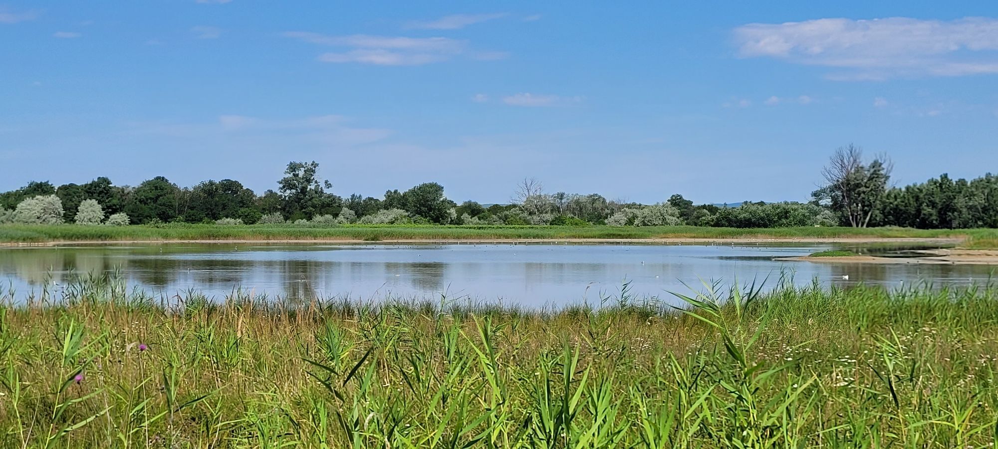
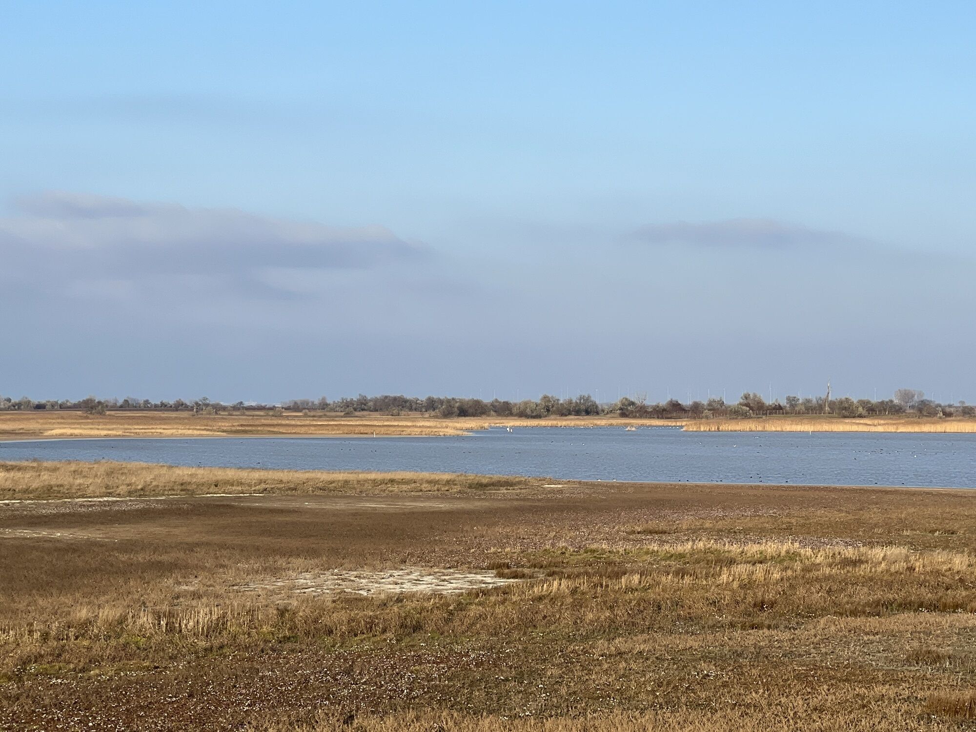
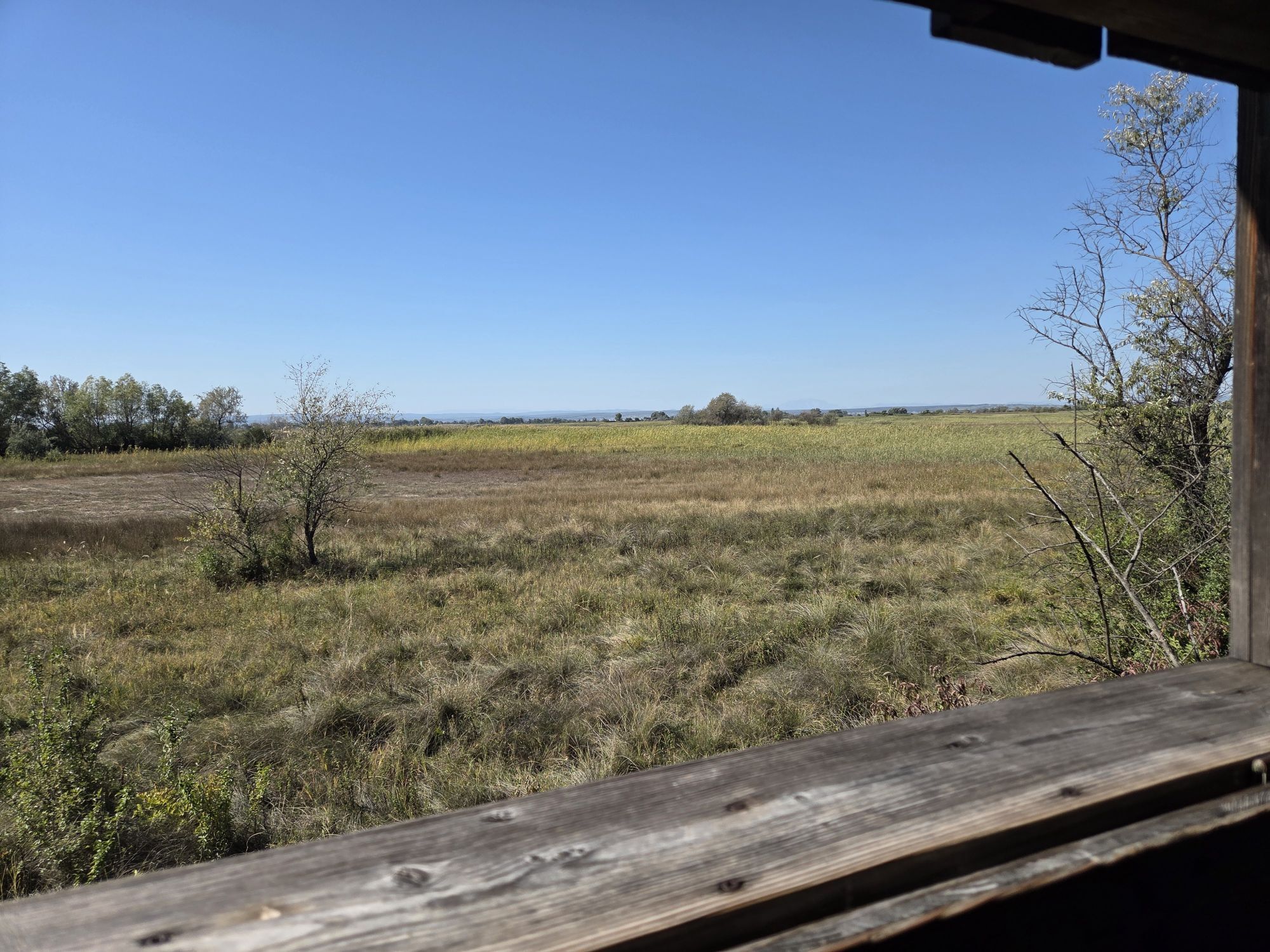
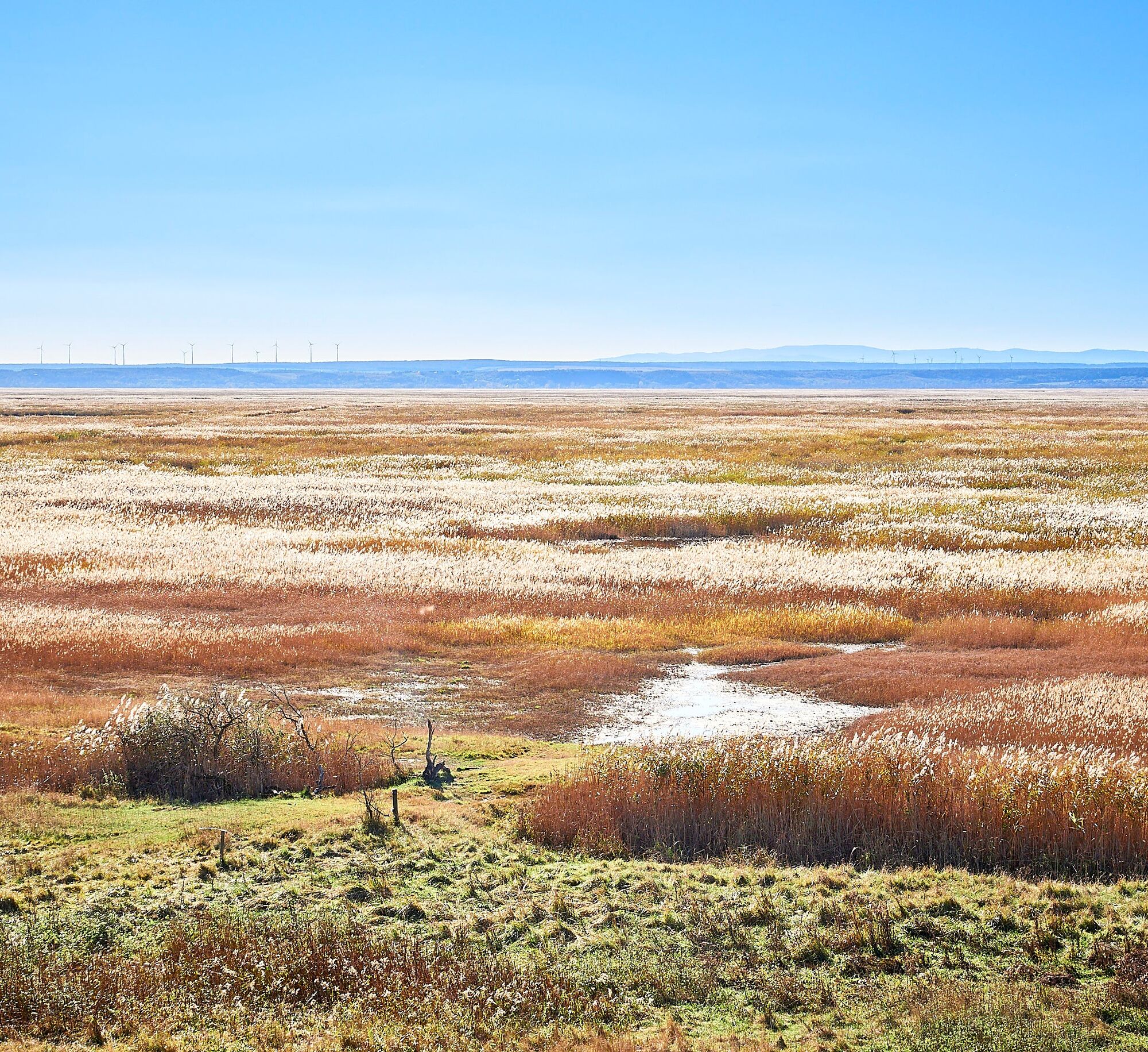
Between the eastern shore of Neusiedler See and the Hanság lie the Lacken, which provide a unique fauna and flora. On a hike along the Sodalackenweg you experience the steppe in all its facets – from dry grassland over the swamp and reed belt to the vineyards. The landmark of this region and at the same time a great photo motif are the draw wells and reed huts. Typical inhabitants of the salty Lacken are bird species such as the avocet and the ringed plover but also redshanks, black-tailed godwits, and lapwings. Another highlight: here lives one of Europe's largest spiders: the southern Russian tarantula.


The best place to park is directly at the National Park Center in Illmitz. It is the central information point for all visitors and also serves as a meeting and starting point for many guided routes as well as routes for self-discovery. A tour through the informative exhibition on site offers the ideal introduction – or the fitting conclusion – for a comprehensive nature experience.
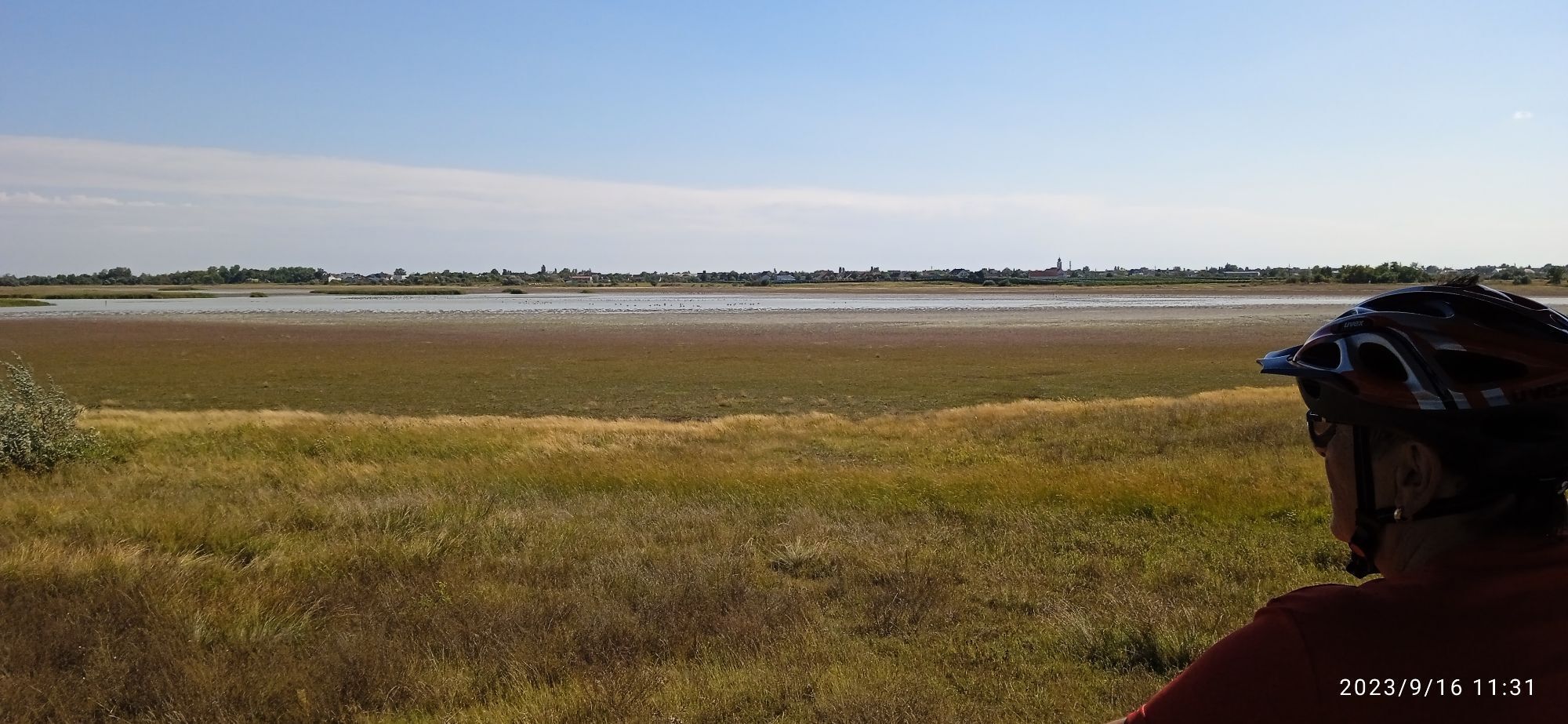
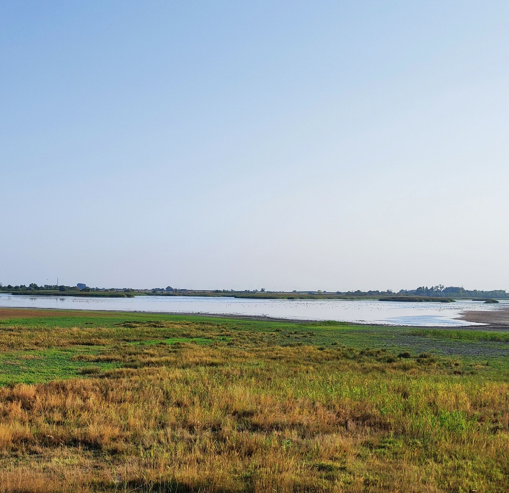
The route takes you from the National Park Center to the first viewpoint or birdwatching spot with views of the Sodalacken and their numerous inhabitants. Tip: Be sure to borrow a pair of binoculars at the National Park Center to observe the many animals in their special habitat.
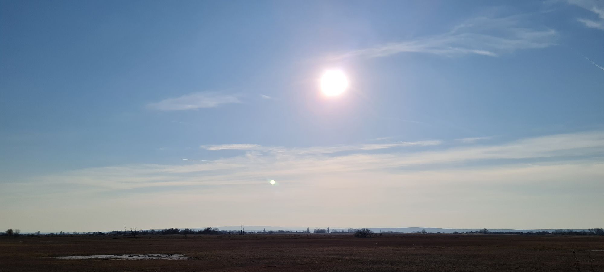
The Lacken have no access to Neusiedler See, so they often dry out in summer when there is little precipitation. In autumn, the dried-out Lacken shine in the delicate purple of the salt asters. Over winter, when there is more precipitation, the Lacken fill again.
About 15 different species of ducks and 30 species of wading birds use the Lacken or their sedimentation zone as a resting area or breed here.
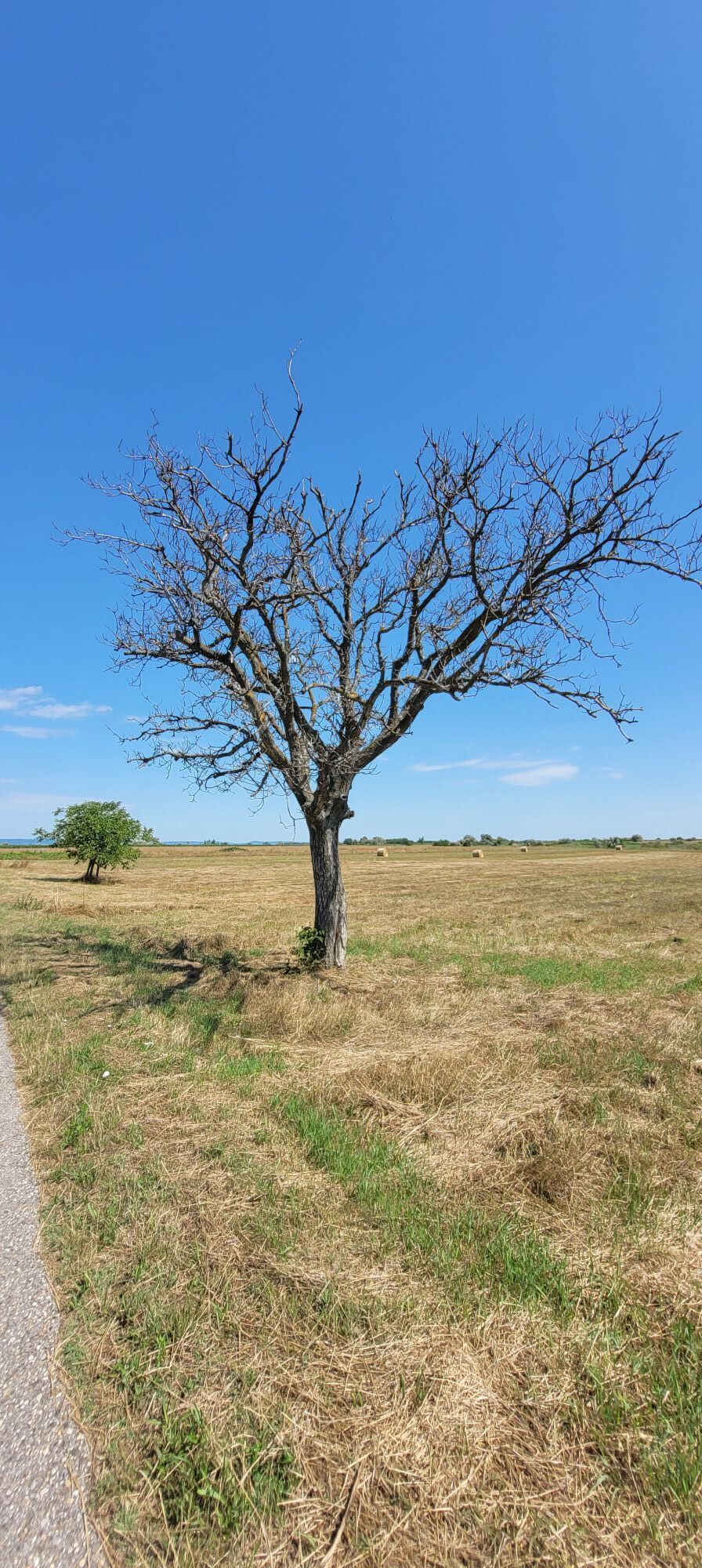
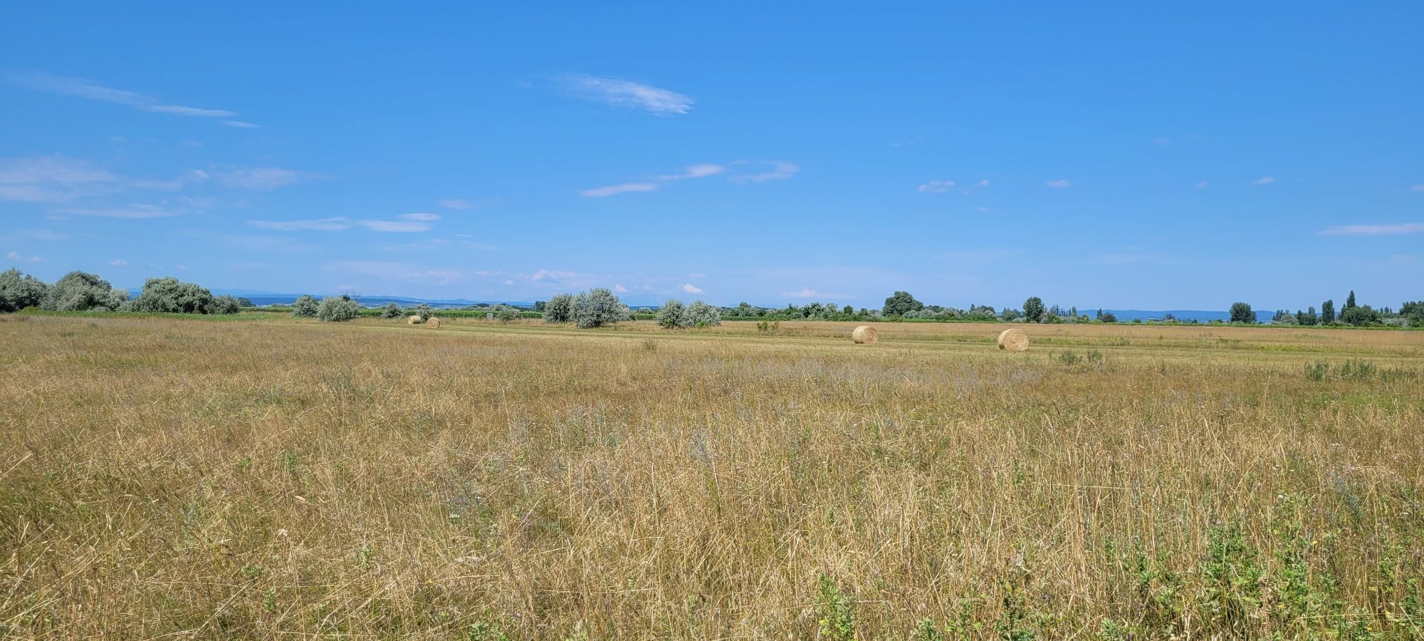
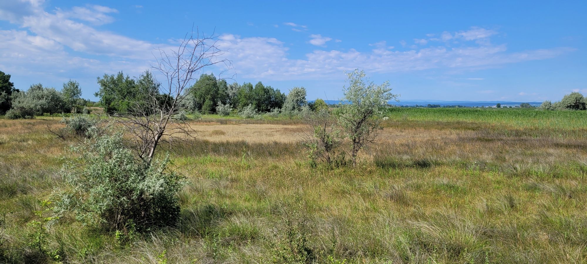
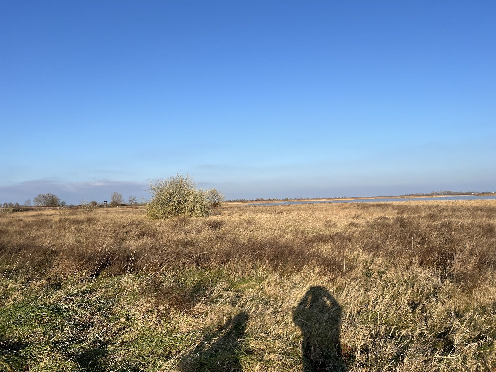
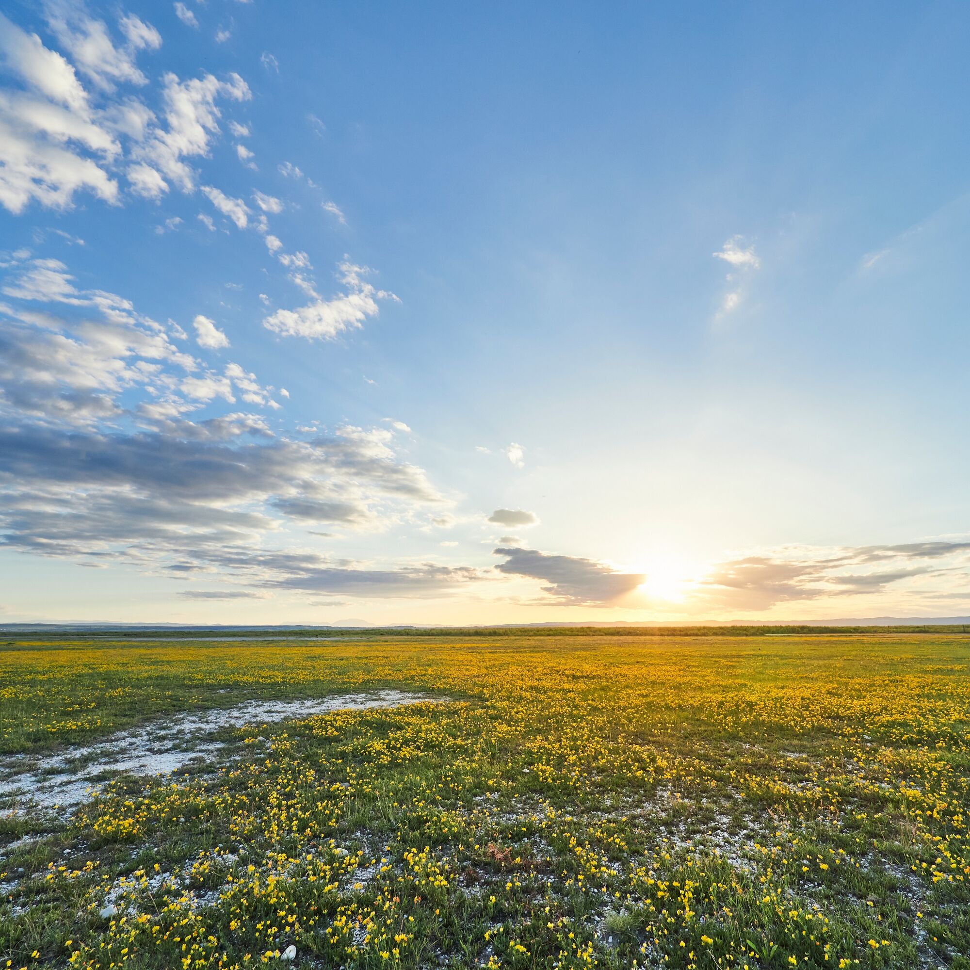
The path leads you through a typical steppe landscape in this area – with views to the horizon on all sides – short dry grassland, bushes, and scattered, lushly bearing nut trees – in the distance, grazing livestock or Przewalski horses can be seen. This subarea is called Geiselsteller and is a mosaic of lightly to deeply waterlogged depressions, semi- and dry grassland, water surfaces, reed and pasture areas, and the white glowing salt patches. Only a few plants are adapted to life in this extreme location with its efflorescing salts.
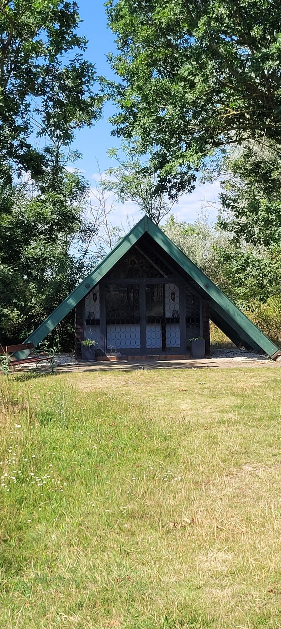
On the left, you will find a shady resting place with a small chapel.
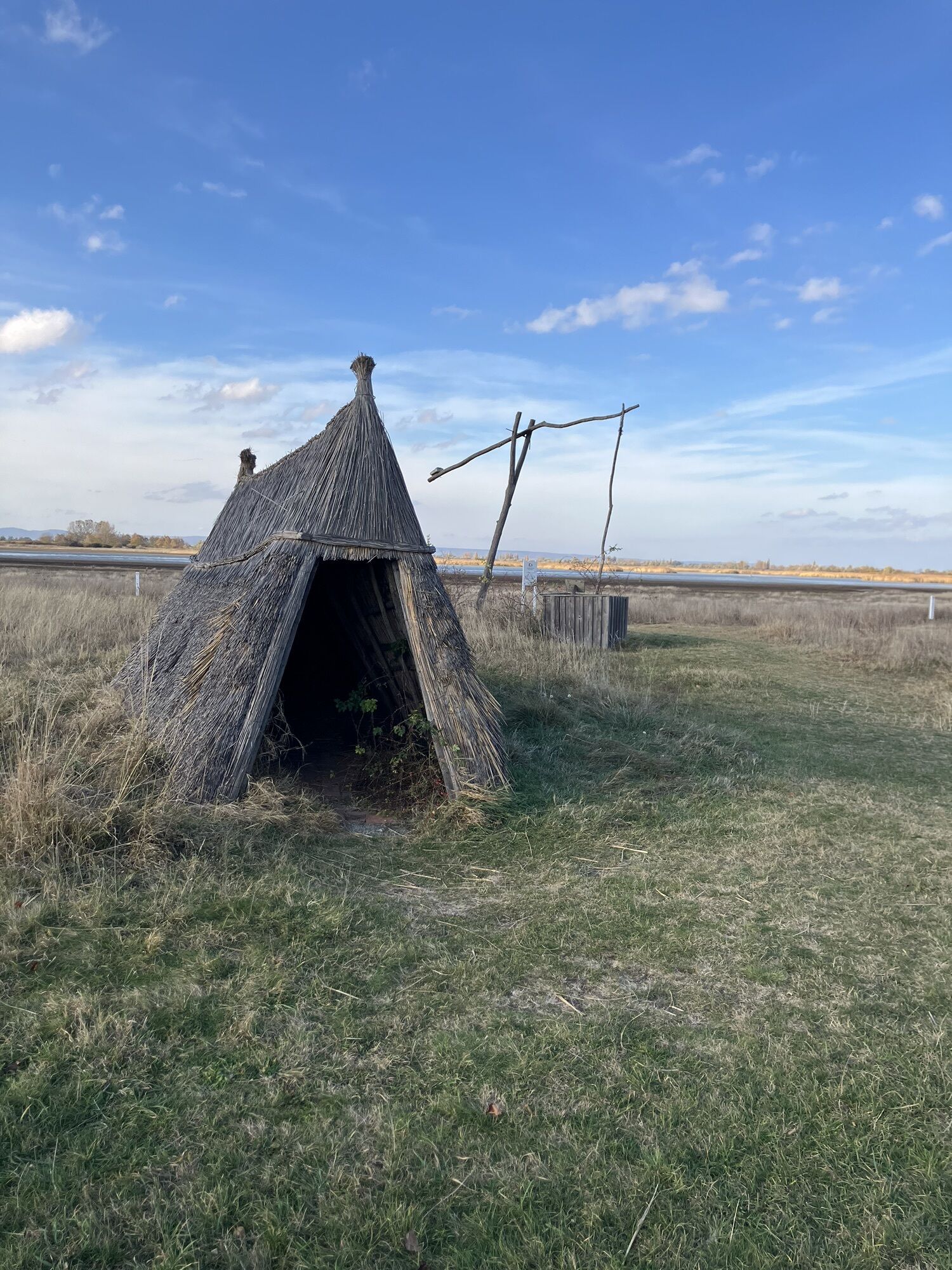
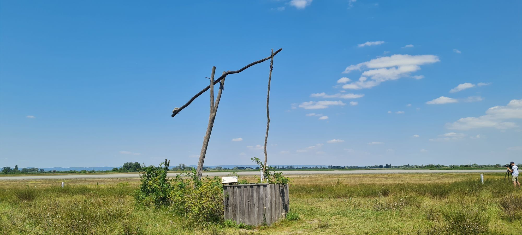
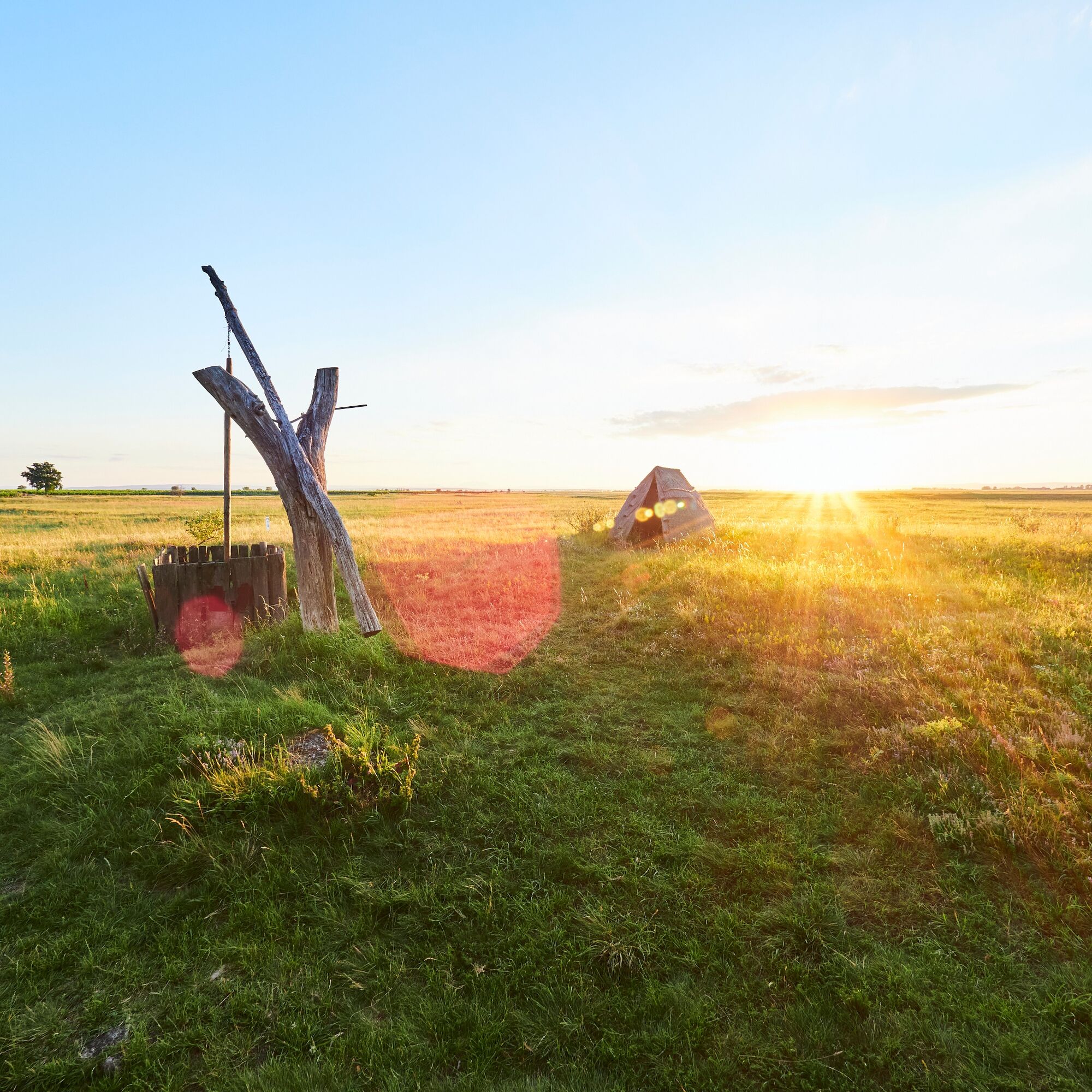
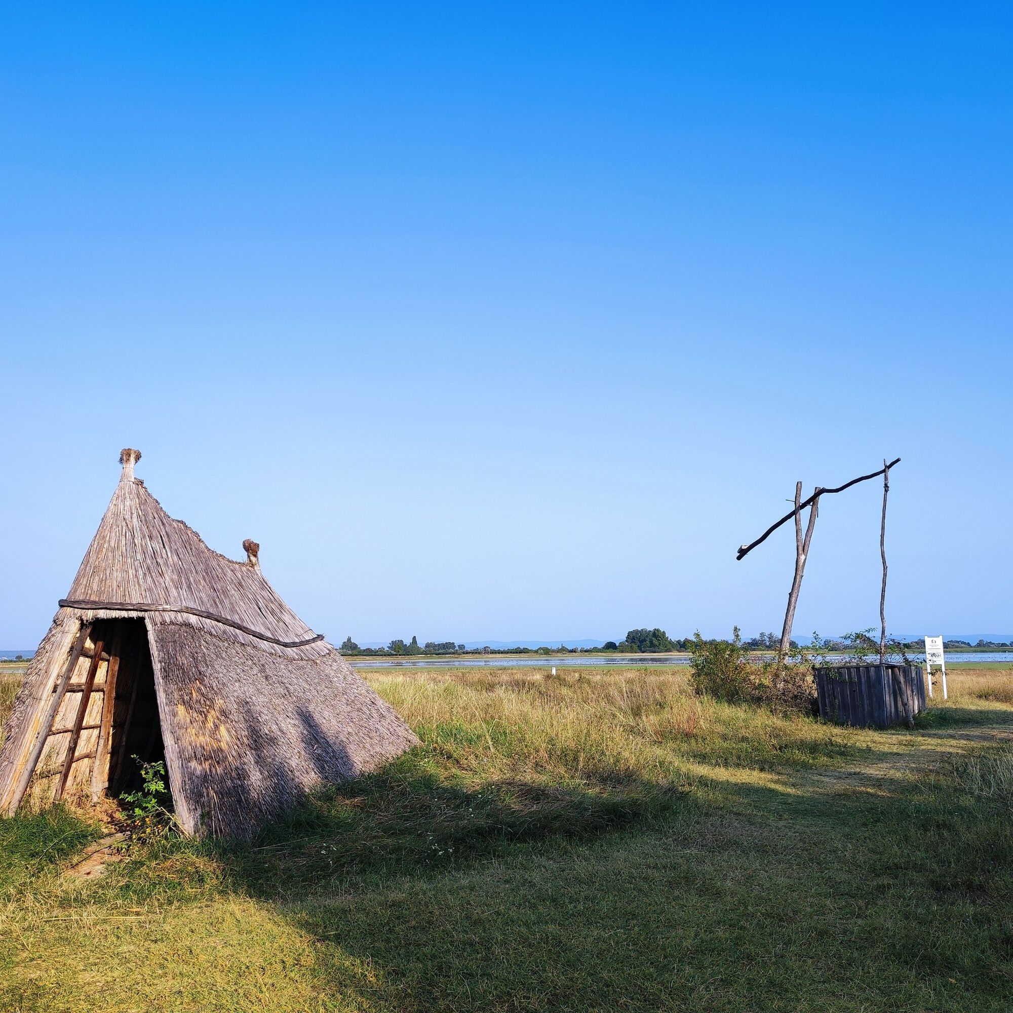
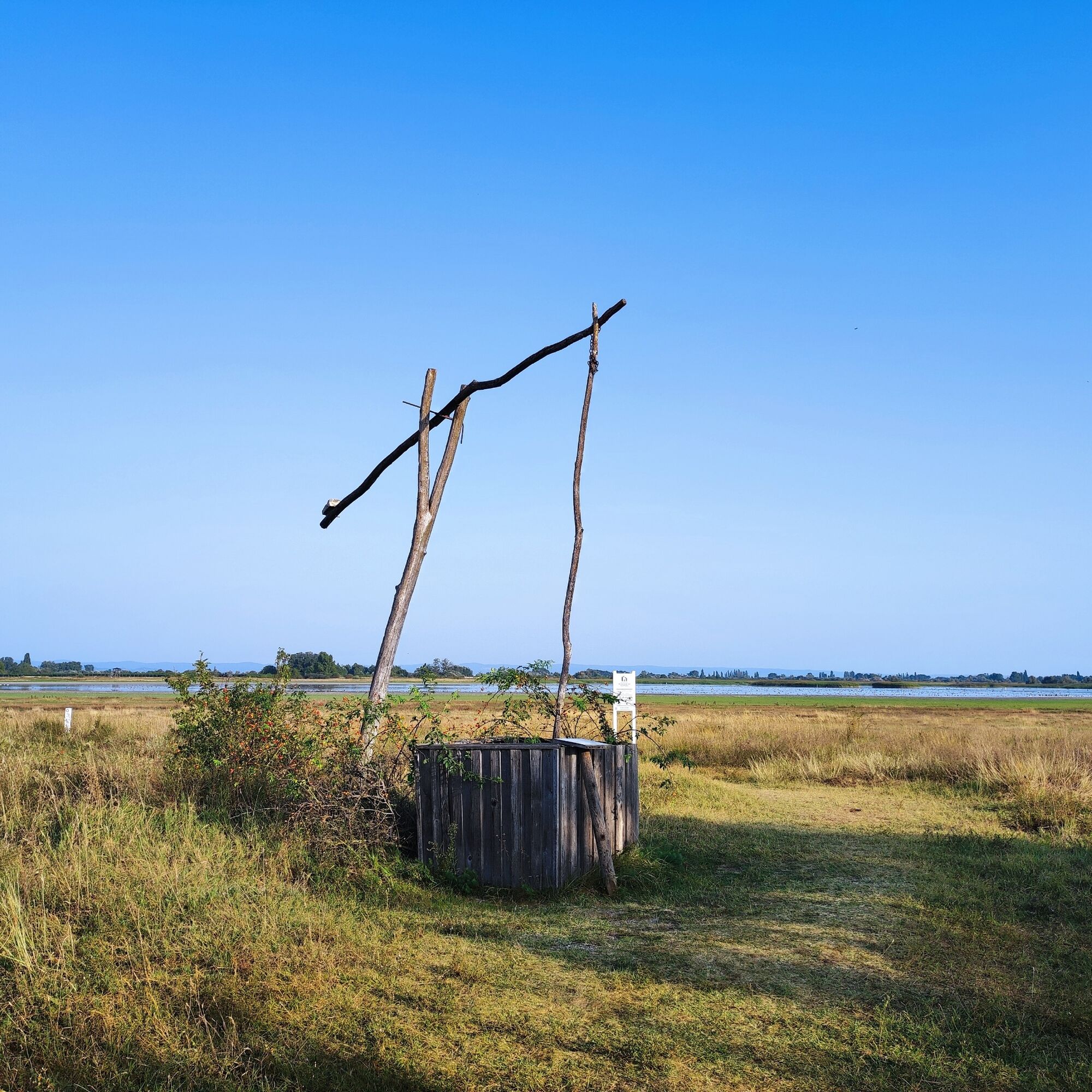
A highlight and symbol of the Pannonian steppe are the formerly typical draw wells, which you can still marvel at here in the Neusiedler See – Seewinkel National Park today.
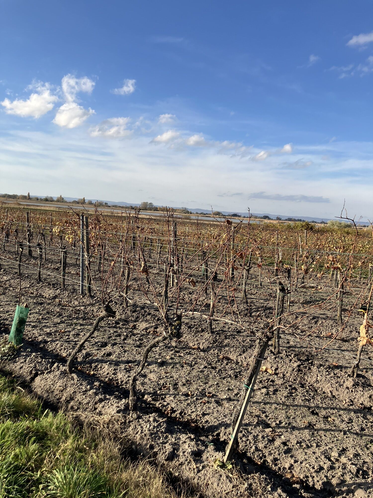
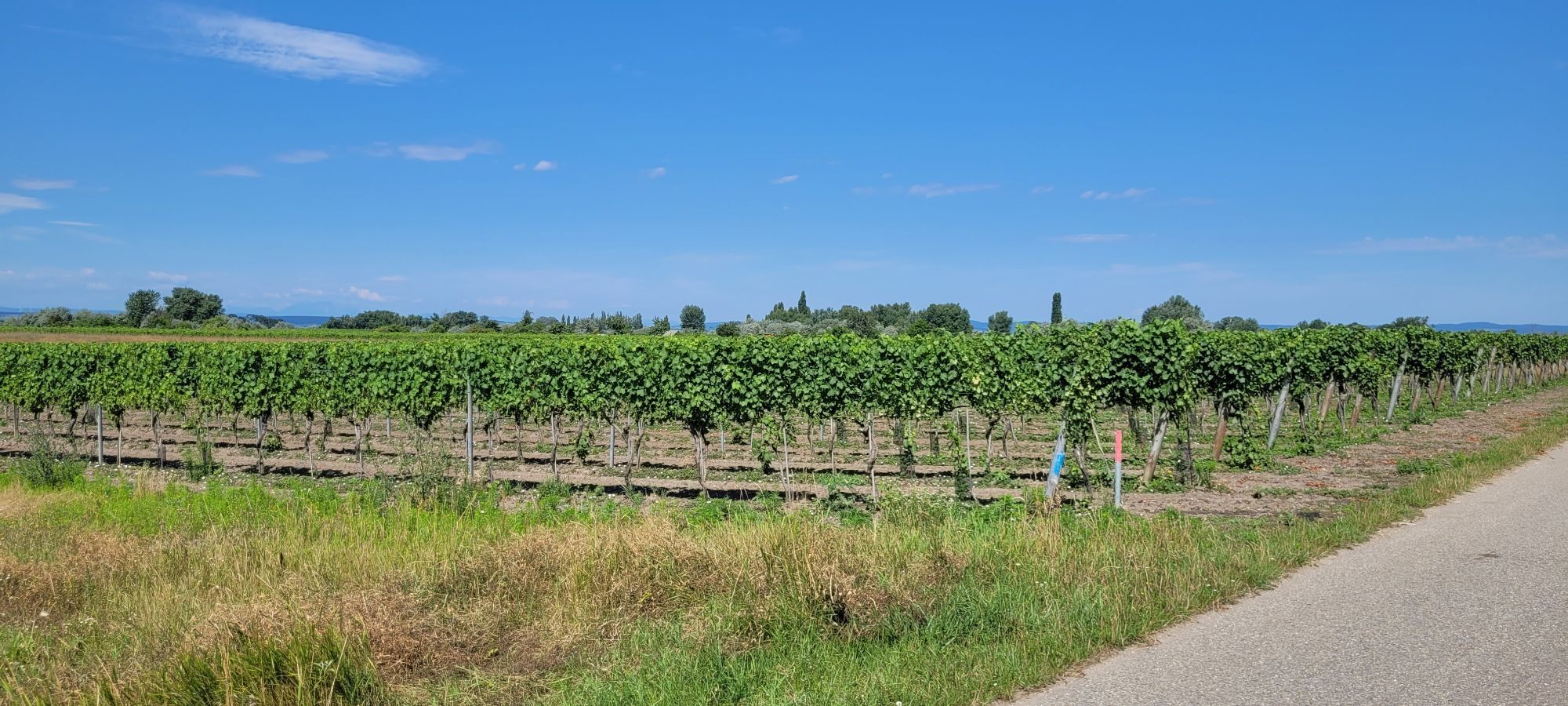
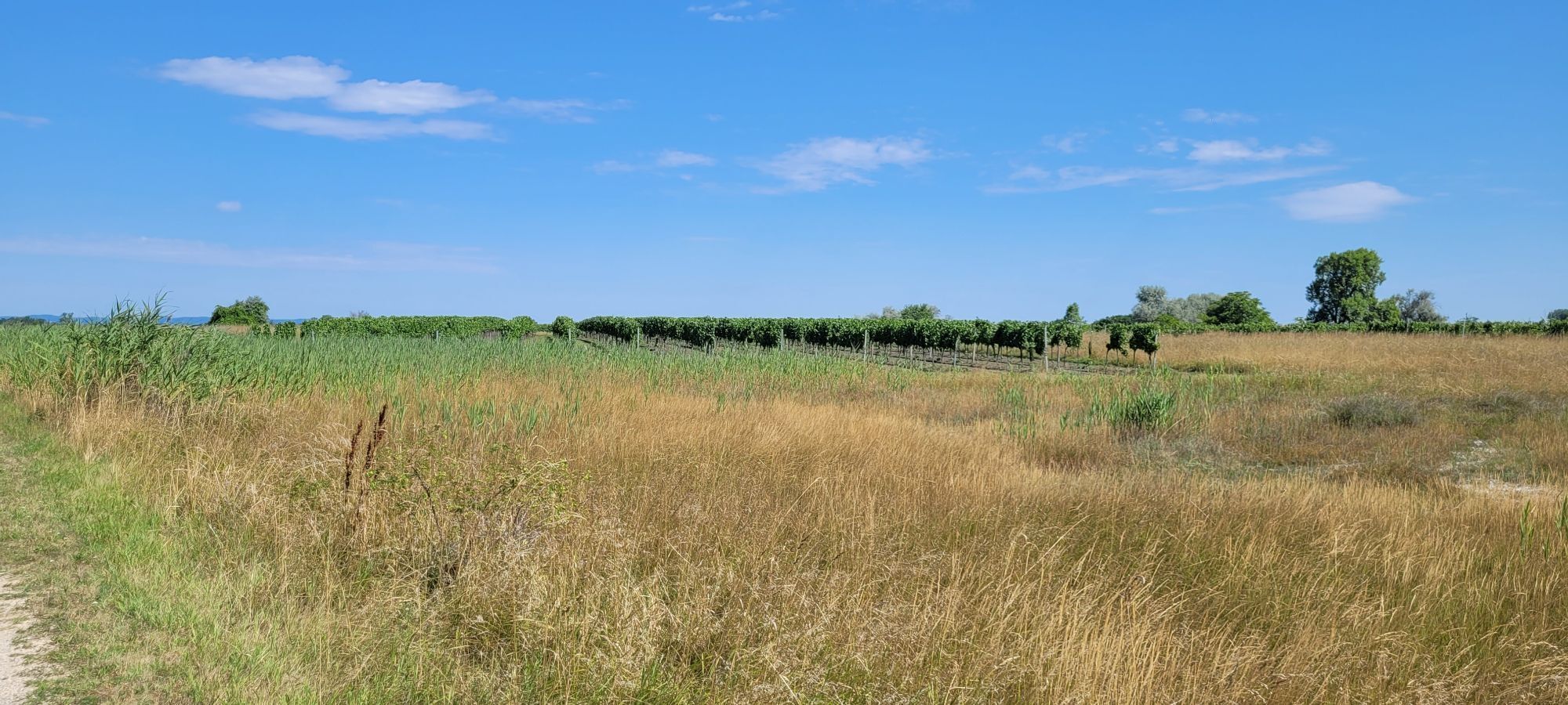
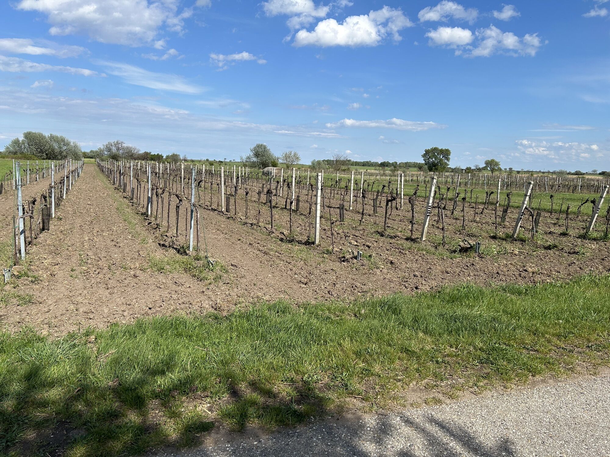
Arriving at the southern Stinkersee you have reached the northernmost point of the route and now on the return journey immerse yourself in a unique cultural landscape shaped by vineyards.
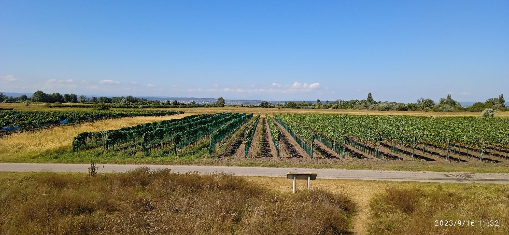
Here in the Pannonian steppe in the Seewinkel, there are ideal conditions for viticulture. The gray sandy soil stores heat and passes it on to the vines.
You will also frequently see field hares and frogs living in the vineyards, finding sufficient food and retreat opportunities here.
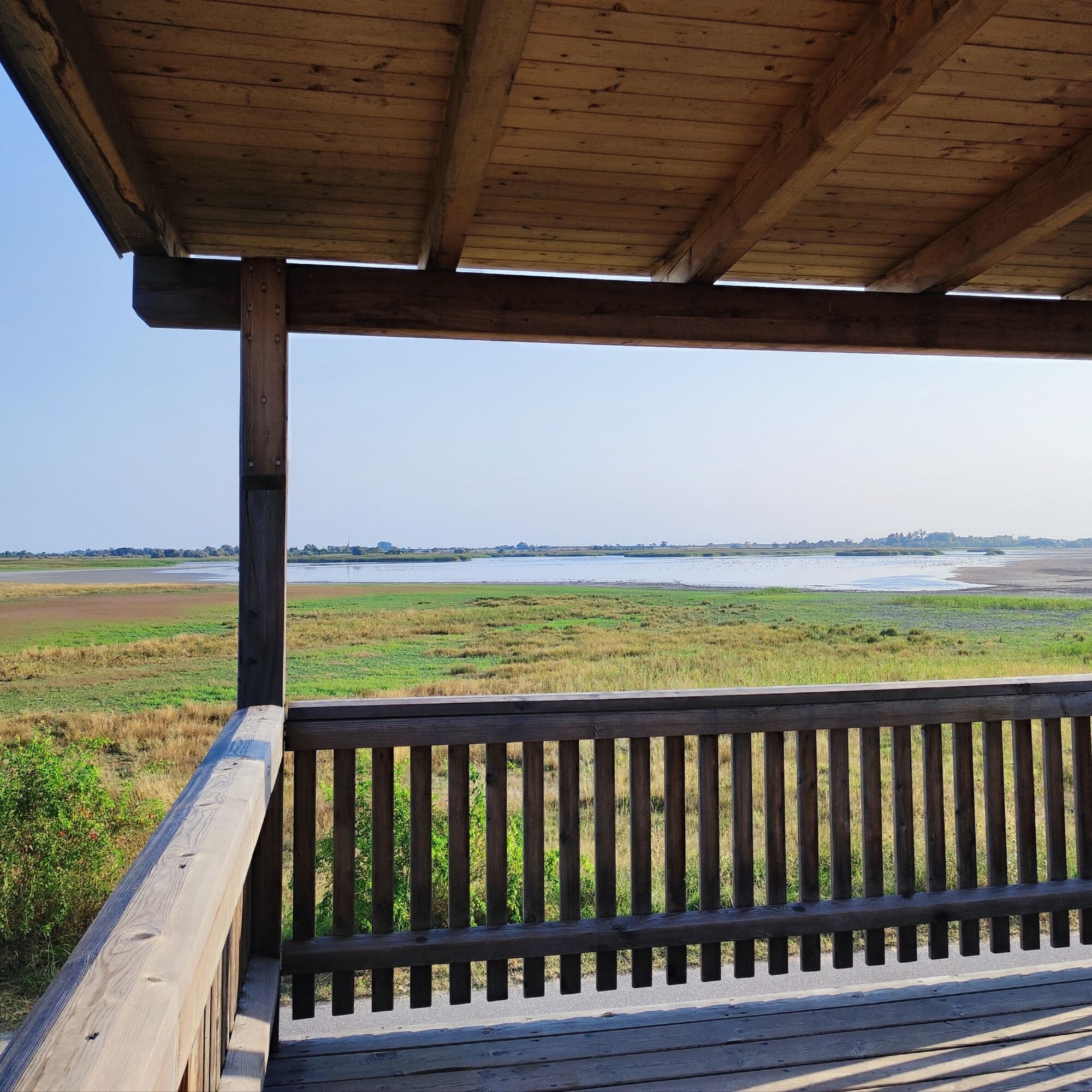
On the way back you will pass a lookout tower, where you can enjoy a wonderful view of the Sodalacken and their inhabitants with binoculars.
If you walk a bit further, you will reach the next barrier-free viewing platform with another beautiful view of the Sodalacken toward the north. A fountain with drinking water and a shady spot invite you to linger before you tackle the last two kilometers.
Before you reach the town of Illmitz, you will pass a beautiful Pannonian-looking place with a draw well and a hut made of reed. In such a hut, the “Hoider,” herders, who looked after horses, cattle, and pigs, used to live.
Tip: Take a detour to the town center of Illmitz to the St. Bartholomew’s spring. The mineral water from a depth of 201 meters contains sodium bicarbonate and is said to be healthy. The spring is a healing spring. Here you can end the day at a cozy wine tavern or an inn. The friendly winemakers in Illmitz also look forward to your visit.
The Sodalackenweg belongs to the Neusiedler See – Seewinkel running park.
Details about arrival can be found here: Calculate route
Arrival by train to Neusiedl am See:
Neusiedler See is easily and comfortably accessible by train. Whether you are coming from Switzerland, Germany, the west, or south of Austria: you can comfortably change trains at Vienna main station. The ÖBB regional trains take you in just under 40 minutes to Neusiedl am See station, where coordinated bus and train connections to Pamhagen / FertÅszentmiklós or Eisenstadt and Sopron are also offered. In most trains, bicycle transport is possible: on Railjet and EC/IC as well as Nightjets, a reservation for your bicycle is absolutely necessary. On regional trains, your bicycle will be carried without reservation subject to the availability of bicycle racks.
Timetable information: ÖBB
Continuation by bus to Illmitz:
Timetable information: VOR
T1
The Burgenland App also informs you on the go about routes, path course, and altitude meters.
With the Burgenland Card: limitless holiday fun & offers as far as the eye can see!! All info: Burgenland Card
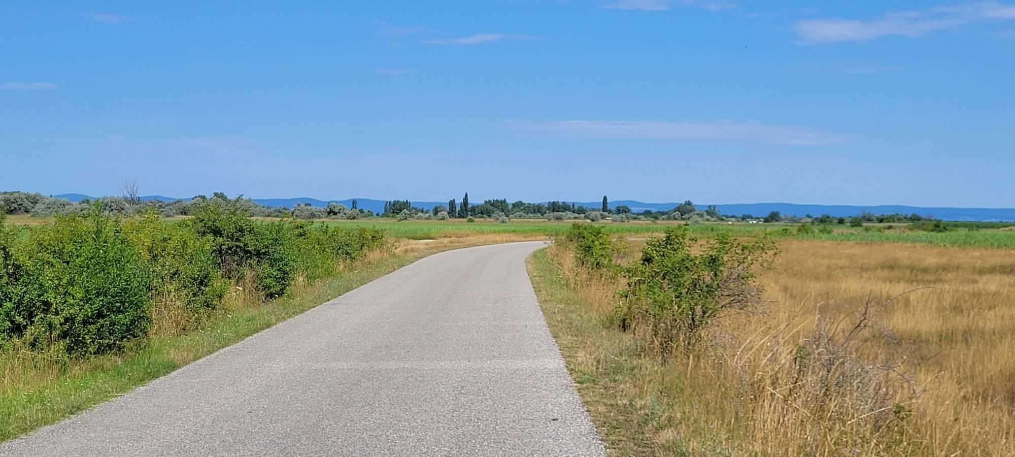
The hiking trail is suitable for strollers and barrier-free, as it is fully asphalted and without incline.
There is also a barrier-free viewing platform overlooking the Zicklacke.






Popularne wycieczki w okolicy
- 4,6
Lackenradweg
światłoJazda na rowerze 49,8 km - 4,1
Neusiedler See cycle path with lake crossing
średniJazda na rowerze 75,4 km - 4,3
Neusiedlersee Radweg B10
średniJazda na rowerze 114,9 km - 5,0
Weiße Esel Runde
światłoWędrówka 8,51 km - 3,9
Lange Lacke, Burgenland
światłoWędrówka 8,68 km - 4,4
Festival route | Variant Mörbisch - St. Margarethen - Rust - Mörbisch
światłoJazda na rowerze 21,0 km - 4,8
Burgenland Extrem 2024
ciężkiWędrówka 112,0 km - 4,6
Festival cycle route
światłoJazda na rowerze 66,3 km - 4,7
24 Long Lacke Run (Lake Neusiedl - Seewinkel Running Park)
światłoBieganie 7,95 km - 3,6
Neusiedlersee Podersdorf Süd
światłoJazda na rowerze 34,8 km
Wędrówki i tropienie


Nie przegap ofert i inspiracji na następne wakacje
Twój adres e-mail została dodana do listy mailingowej.





