







Franconian Red Wine Hiking Trail - 2nd stage from Großostheim to Elsenfeld
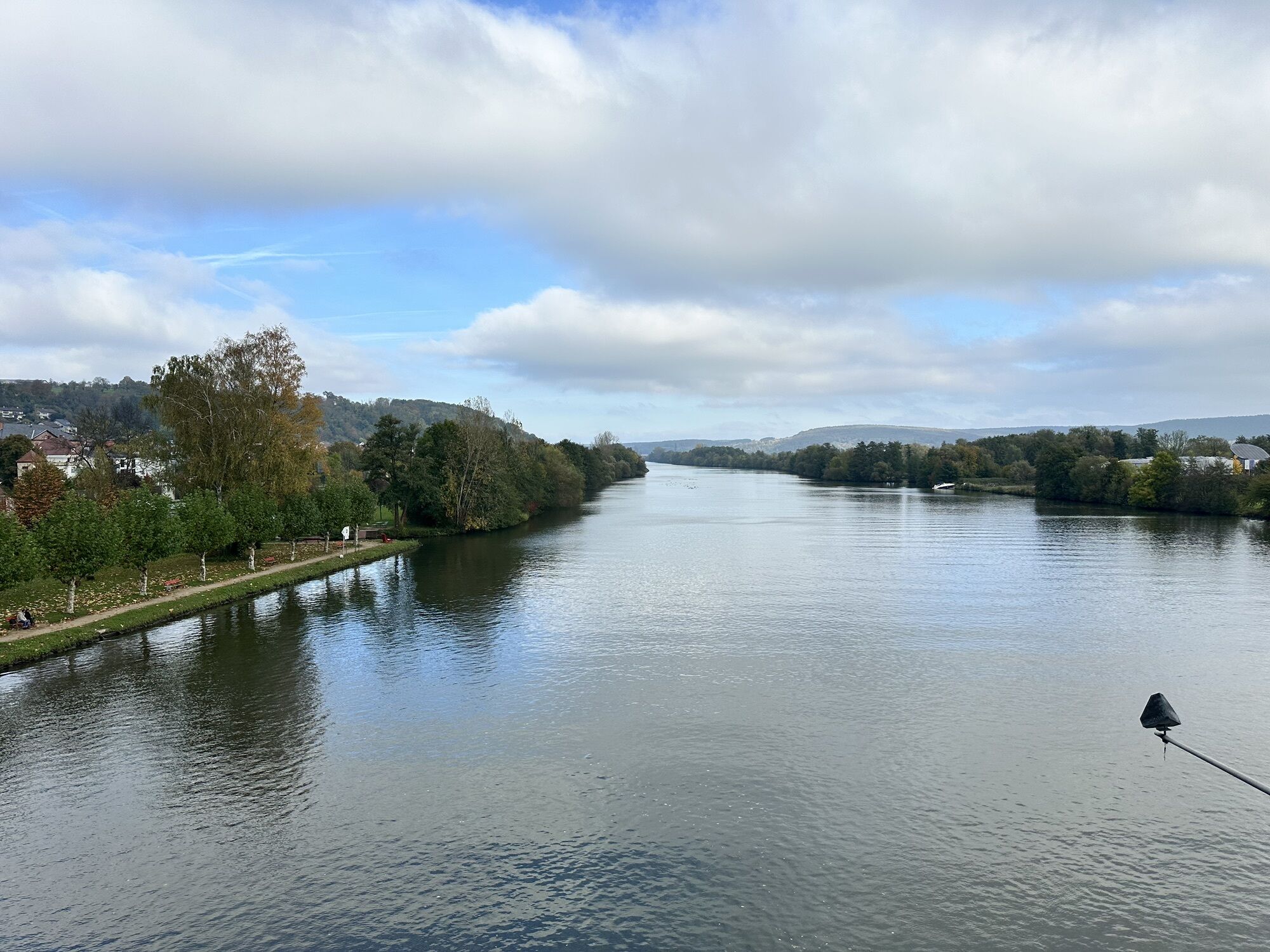
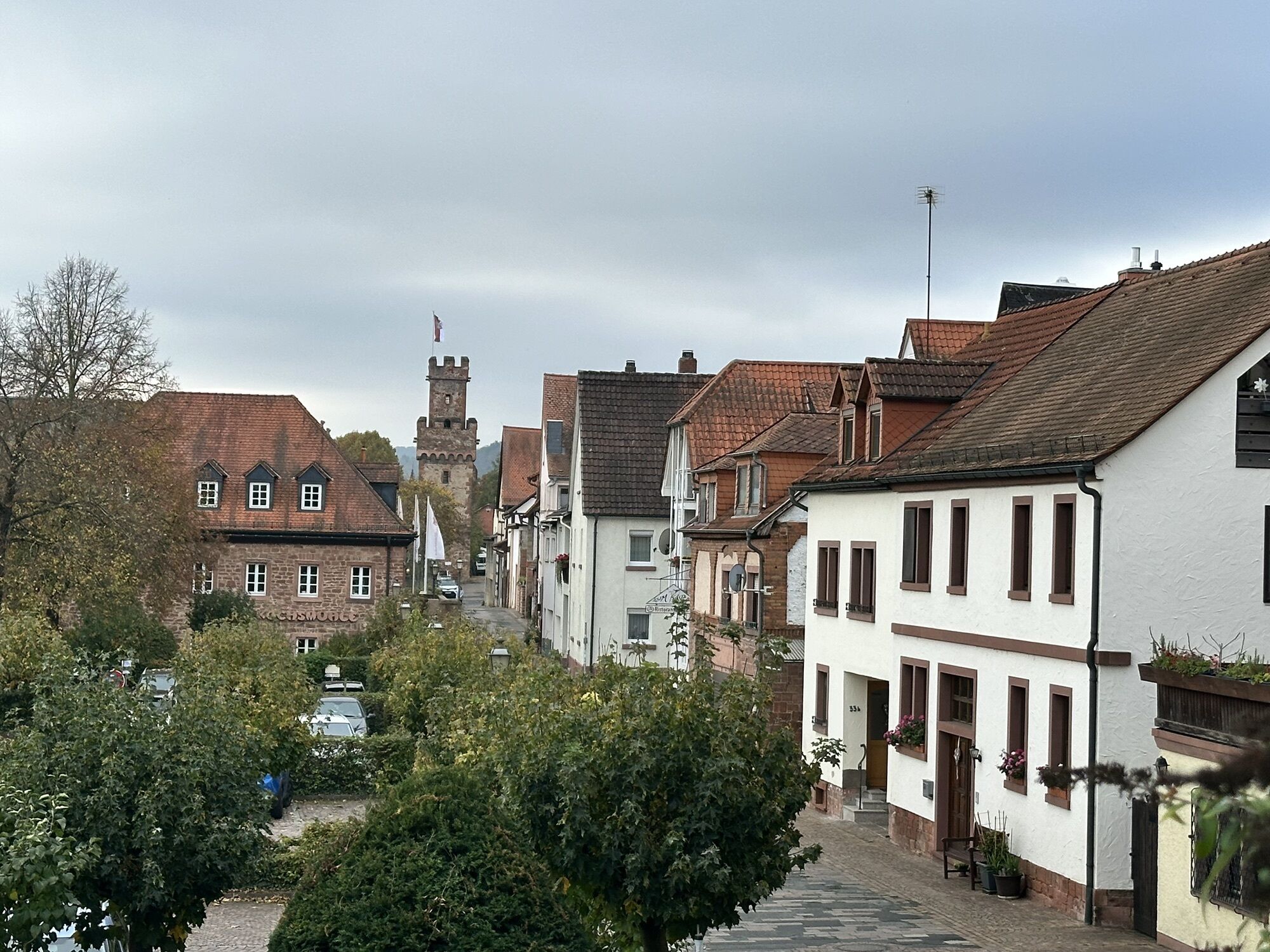
The 2nd stage of the Franconian Red Wine Hiking Trail leads us from Großostheim along the slope of the northern Odenwald foothills back to the Main River at Elsenfeld.


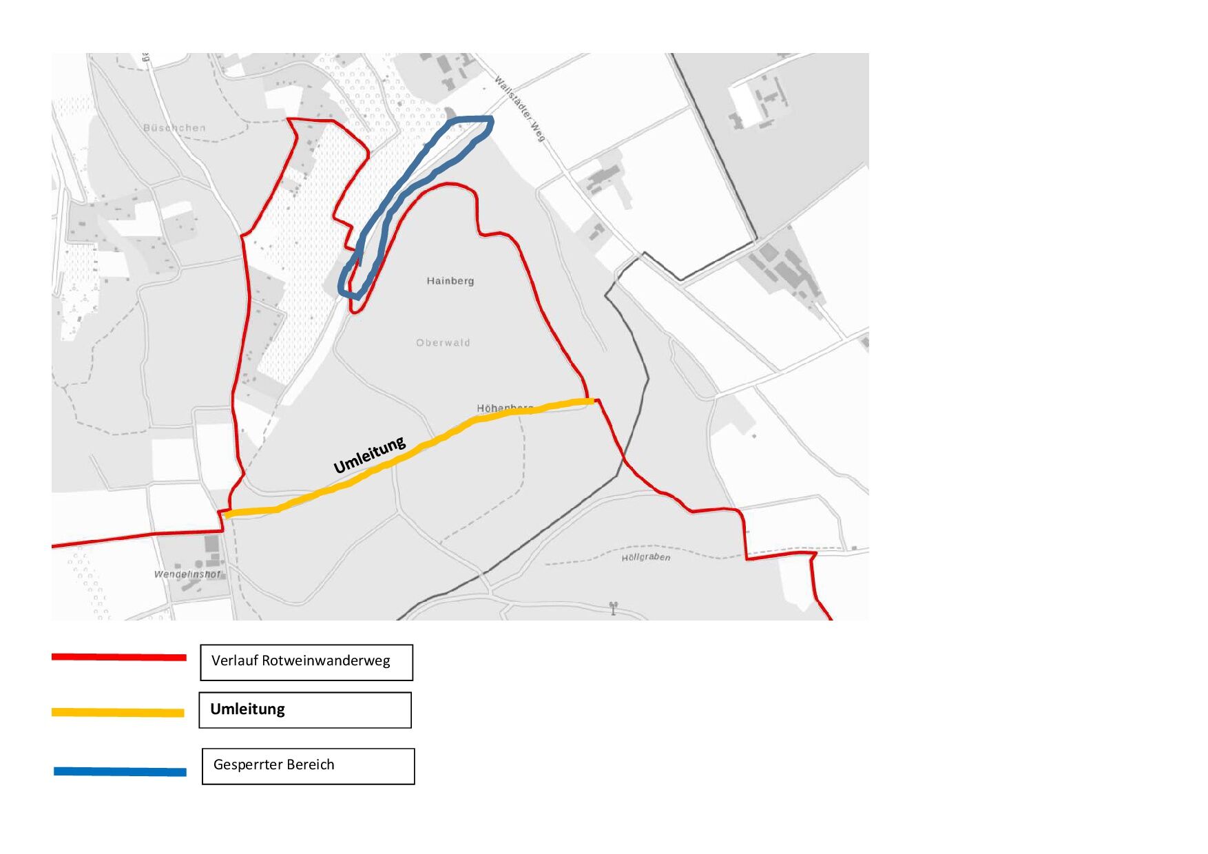


Here we keep right again and follow the signpost to Elsenfeld. Passing the lower entrance gate "Reischklinge," we walk about 100 m uphill to then hike left in a hairpin bend on the yellow-marked path no. 1. After about 600 m, we pass a shelter with a splendid view of the Spessart. There the path turns left. We follow it until we reach a stone border path. After the first boundary stone, it goes downhill left past a memorial cross.
We turn left again and walk on a gravel forest path until we leave the forest and continue on the right past an apple orchard. At the Höllgraben, we turn left onto a paved road and follow it to a row of trees, where we turn right onto a field path. We follow this until we reach a path straight ahead, leading into the forest. After about 10 m, we turn into an old hollow way (heading east). Reaching the forest edge, we hike right to the road and turn right again. At the forest edge, we reach a memorial stone with a cross.
From here, the Franconian Red Wine Hiking Trail leads us left along the forest edge to a fork where we turn right uphill to the Lützeltal Vineyard. Just behind the entrance gate to the vineyard, we climb stairs on the right side. At the top of the stairs, the path leads left past the vineyards and a little into the forest.
There we turn left and go downhill to the lower entrance gate of the Lützeltal Vineyard. We now cross the area on the main path back to the lower entrance, passing several small winegrowers’ huts. After leaving the grounds, we descend some stairs on the right to the forest edge. While the paved path at an information board on the Franconian Red Wine Hiking Trail leads straight ahead into the plain, we keep right and continue along the forest edge.
Behind a chapel, the path continues until it ends at an asphalt road, on which we go about 50 m left before turning right and now hiking uphill through the forest. At a fork, we do not stay on the main path that continues uphill after a right bend but go straight ahead. Shortly after, we turn left and follow a path steeply downhill past a vineyard.
At the end of the descent, we go left through a gate into the Pitztal Vineyard. At the end of the vineyard, we leave it again through a gate and continue downhill. At the foot of the hills, we turn right onto an asphalt road to a junction with the four-lane B469. Here, we keep half-right and enter a nature park protected zone where the path continues uphill.
Soon after entering the forest, a path branches off to the left, which is easy to miss. We follow it to an orchard and pass it on the left side. Not far from the forest edge, the path leads along the hillside to a steep vineyard on the left side, from where we can see Obernburg-Elsenfeld for the first time. Soon after, we reach the first houses of Obernburg. At the end of the street, we turn left and go downhill toward the town center.
Jahnstraße leads us to Lindenstraße, where we continue right. In front of the Gebrüder-Reis house, we turn left into Obere Wallstraße to shortly after turn right onto Römerstraße, Obernburg’s main shopping street.
After a small fountain, Mainstraße leads us on the left side to a pedestrian bridge over the Main River. After crossing it, we stand in front of the Elsenfeld train station. On the right, we pass under the tracks and then go left uphill. Parallel to the tracks, we now walk past the station to a bridge over the Main tributary Elsava. Beyond the bridge, a path on the right leads through allotment gardens to the main road, which we follow left. Over cobblestones, we finally reach the home museum and the old village church of St. Gertraud in Elsenfeld to conclude the stage.
Tak
Provisions, sturdy footwear, possibly rain protection
A3 to the Stockstadt exit, continue on the B469 towards Miltenberg until Großostheim
By train to Aschaffenburg, Babenhausen or Obernburg-Elsenfeld, then by bus to Großostheim
In Großostheim at the Old Cemetery
Franconian Red Wine Hiking Trail - 3rd stage from Elsenfeld to Erlenbach
Franconian Red Wine Hiking Trail - 4th stage from Erlenbach to Klingenberg
Franconian Red Wine Hiking Trail - 5th stage from Klingenberg to Großheubach
Franconian Red Wine Hiking Trail - 6th stage from Großheubach to Bürgstadt
Uzyskaj wgląd
Zawsze na żywo z ponad 9 500 kamer internetowych. bergfex Jako użytkownik Pro, możesz teraz zobaczyć odpowiednie kamery internetowe dla wielu wycieczek w aplikacji wycieczki od. Pozwala to na bezpośredni podgląd aktualnych warunków.
Popularne wycieczki w okolicy
-
"Of Clay, Stones and Shards"
średniWędrówka 8,31 km -
5,0
Kulturweg Niedernberg: Blechkatzen im Honischland
Wędrówka 10,2 km -
Obernburg - Eisenbach round
średniWędrówka 10,7 km -
3,0
Franconian Red Wine Hiking Route - 4th stage from Erlenbach to Klingenberg
światłoWędrówka 4,08 km -
5,0
Klingenberg: Hiking Trail Schnepfe
średniWędrówka 5,03 km -
4,0
Elsenfeld district Rück: Via Eichelsbach and the Himmelthal monastery through the vineyards back to the car park in Churfranken
ciężkiWędrówka 9,32 km -
3,0
Elsenfeld district Rück: Across the vineyards past the Red Cross to Hofstetten, return over the Hochberg to the parking lot
ciężkiWędrówka 10,6 km -
Hike into the Mechenhard vineyards
średniWędrówka 8,01 km -
European Cultural Trail Großostheim: "Fruits of the Loess"
średniWędrówka 6,25 km -
5,0
MainRadweg Miltenberg bis Aschaffenburg
Jazda na rowerze 42,8 km
Wędrówki i tropienie


Nie przegap ofert i inspiracji na następne wakacje
Twój adres e-mail została dodana do listy mailingowej.





