







Elsenfeld district Eichelsbach: Past the Hochkreuz Kinzbachgrund to Zollstock and over the Eichelsberg back to the Naturpark parking lot Churfranken.

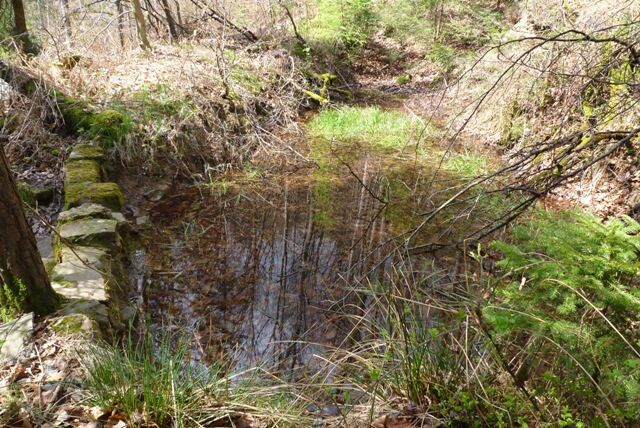
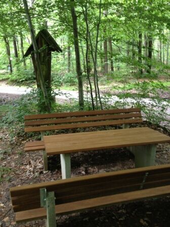



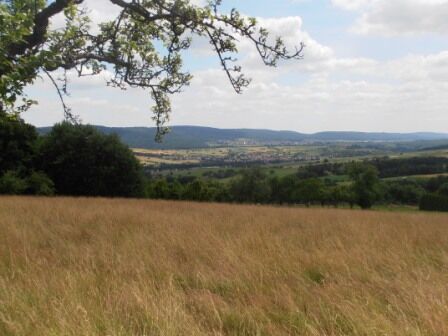

You follow the Marienweg into the village to the fire station. There you turn left and reach the forest following the Elsenfeld "E1" marking past the Buchbrünnchen to the Hochkreuz in Kinzbachgrund. Then continue uphill to the height at the signpost "Zollstock". Nice resting place. Now keep left following the "Red X" marking and go slightly uphill over the Eichelsberg, the highest point of the market town of Elsenfeld at 407 meters. Continue following the "Red X" downhill through the forest to reach your starting point at the Naturpark hiking parking lot Eichelsberghalle.
A3 to the Stockstadt exit, continue on the B469 towards Miltenberg to the Elsenfeld exit, then continue towards Eichelsbach.
By train from the direction of Aschaffenburg or Miltenberg to the Obernburg-Elsenfeld stop. Then continue by bus no. 69 towards Eichelsbach, stop Eichelsbach Mitte.
Elsenfeld district Eichelsbach, Eichelsberghalle
Popularne wycieczki w okolicy
-
"Of Clay, Stones and Shards"
średniWędrówka 8,31 km -
5,0
Dorfprozelten: Kollenburg-Chapel-Route
średniWędrówka 11,8 km -
5,0
Kulturweg Niedernberg: Blechkatzen im Honischland
Wędrówka 10,2 km -
Obernburg - Eisenbach round
średniWędrówka 10,7 km -
4,0
European cultural route: "From Hecke to Häcke in Hebboch"
średniWędrówka 10,2 km -
Miltenberg - Engelberg Monastery - Kleinheubach Castle - round trip
ciężkiWędrówka 12,6 km -
MainRadweg Wertheim bis Miltenberg
Jazda na rowerze 35,7 km -
3,0
Franconian Red Wine Hiking Route - 4th stage from Erlenbach to Klingenberg
światłoWędrówka 4,08 km -
5,0
Klingenberg: Hiking Trail Schnepfe
średniWędrówka 5,03 km -
Altenbuch Forest House Route
światłoWędrówka 14,8 km

Wędrówki i tropienie


Nie przegap ofert i inspiracji na następne wakacje
Twój adres e-mail została dodana do listy mailingowej.





