


Elsenfeld district Schippach: past Himmelthal Monastery - through the monastery forest and the St. Pius Church back to the parking lot
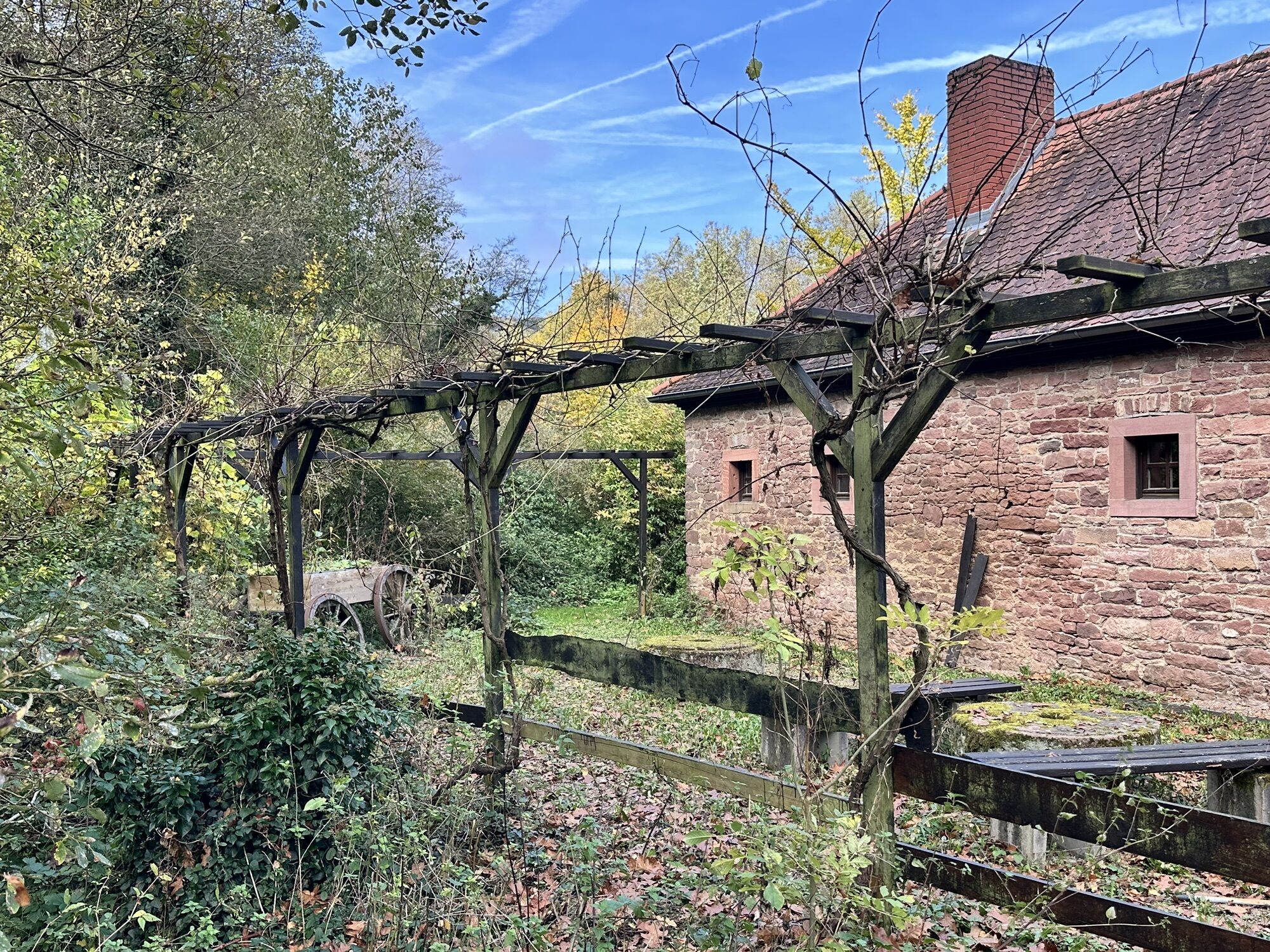

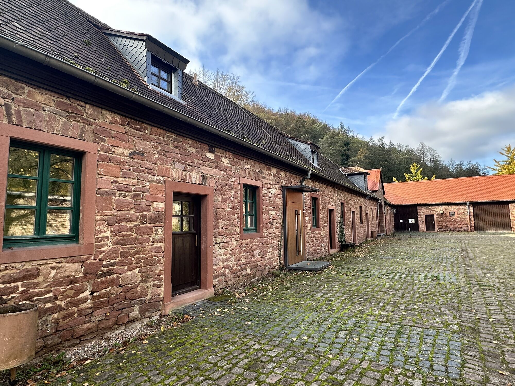
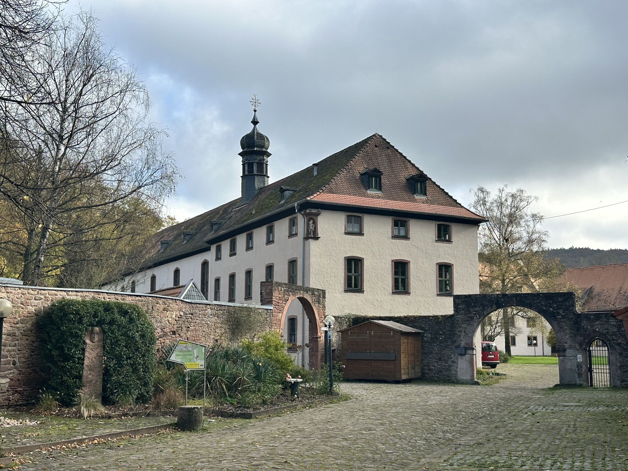

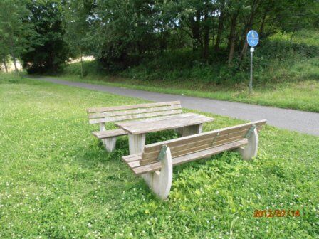
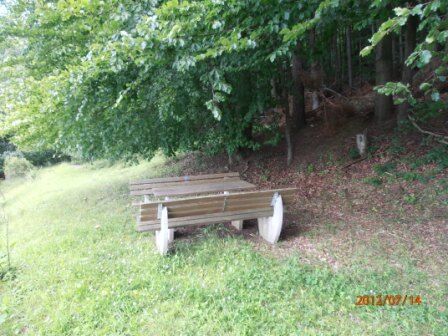

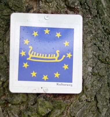


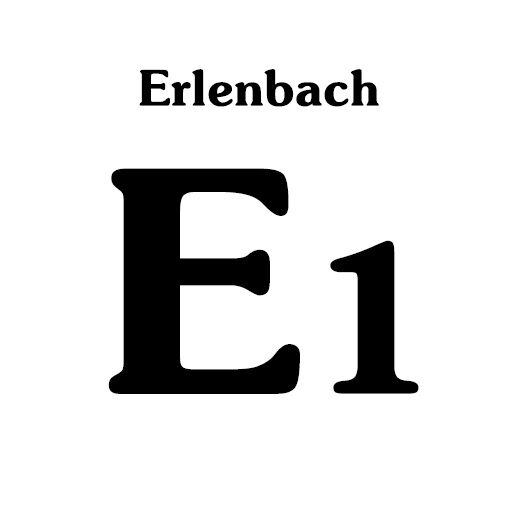
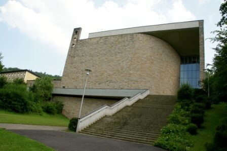
The cultural route leads you through Antoniusstraße to Antonius Church (cultural route information board). Turning left, you meet the Franconian Red Wine Hiking Route, shortly after also the Franconian Mary Route. Passing the fragments of the World Peace Church planned by Barbara Weigand, you come past the monastery to the Himmelthal South signpost. Continue straight following the Erlenbach "E1", steadily ascending through the forest to the "Klosterwald" signpost. There you meet the Franconian Mary Route again, which you follow towards the "Schippacher Wald" signpost. Continuing on the Mary Route (seating area - beautiful panorama) it descends to Schippach, passing the St. Pius Church built in 1960. At the "Friedhof" signpost, turn left and arrive at Antonius Church. There follow the cultural route, which leads you right at the church back to the parking lot on Antoniusstraße.
A3 to the Stockstadt exit, continue on the B469 towards Miltenberg until Elsenfeld. Then follow the signposts to Rück-Schippach.
By train from the direction of Aschaffenburg or Miltenberg to the Obernburg - Elsenfeld stop. Then continue with bus line 64 towards Elsenfeld-Rück. Get off at the Rück-Alte Schule stop.
Elsenfeld district Schippach: parking lot on Antoniusstraße.
Popularne wycieczki w okolicy
-
"Of Clay, Stones and Shards"
średniWędrówka 8,31 km -
5,0
Dorfprozelten: Kollenburg-Chapel-Route
średniWędrówka 11,8 km -
Obernburg - Eisenbach round
średniWędrówka 10,7 km -
5,0
Kulturweg Niedernberg: Blechkatzen im Honischland
Wędrówka 10,2 km -
4,0
European cultural route: "From Hecke to Häcke in Hebboch"
średniWędrówka 10,2 km -
5,0
Rüdenau mountain hike R1
ciężkiWędrówka 13,8 km -
5,0
Roman Route in Miltenberg M1
średniWędrówka 15,2 km -
Miltenberg - Engelberg Monastery - Kleinheubach Castle - round trip
ciężkiWędrówka 12,6 km -
3,0
Franconian Red Wine Hiking Route - 4th stage from Erlenbach to Klingenberg
światłoWędrówka 4,08 km -
5,0
Klingenberg: Hiking Trail Schnepfe
średniWędrówka 5,03 km
Wędrówki i tropienie


Nie przegap ofert i inspiracji na następne wakacje
Twój adres e-mail została dodana do listy mailingowej.