


Elsenfeld district Schippach: On the Franconian Red Wine Hiking Trail over orchards to the forest edge and back to the parking lot
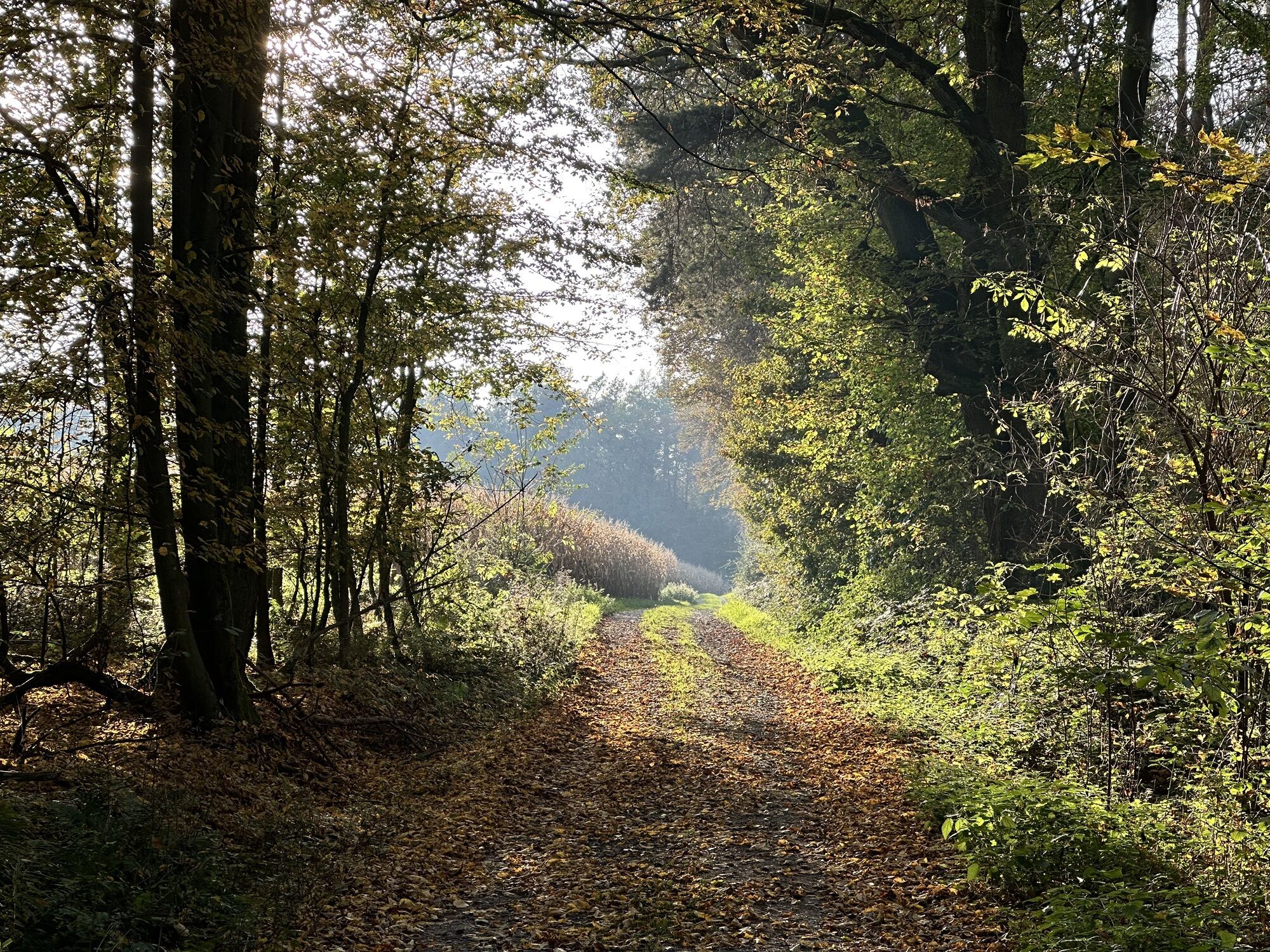
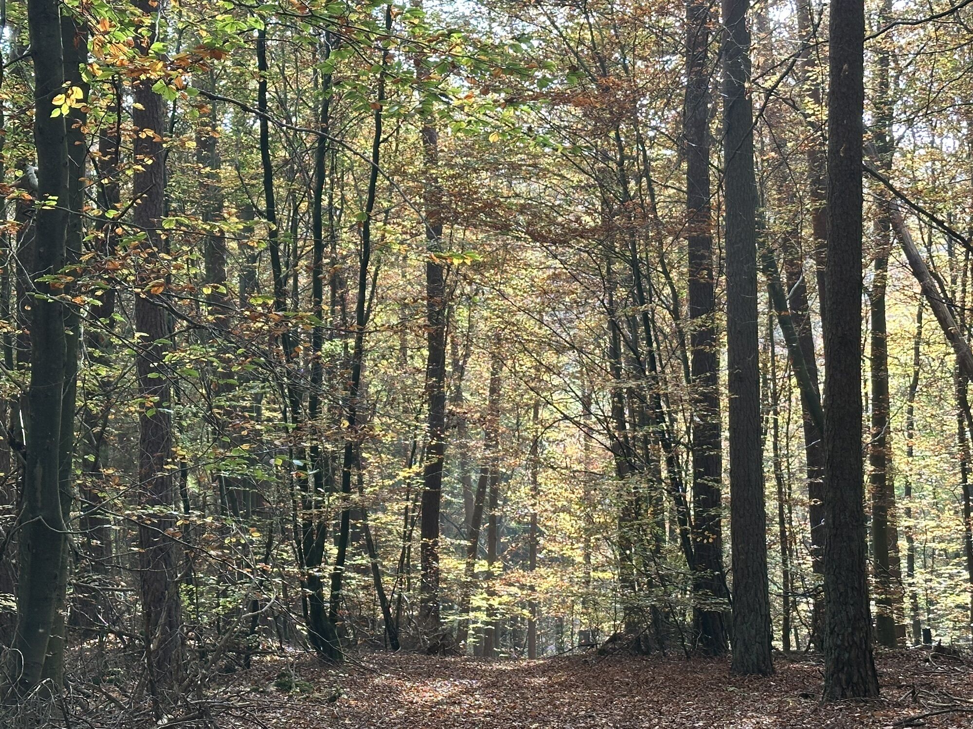

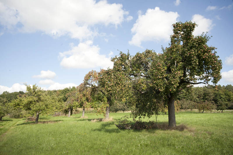
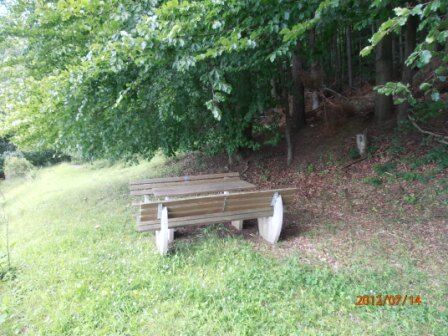

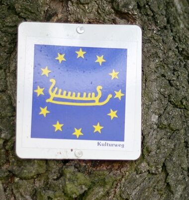
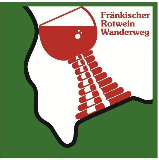
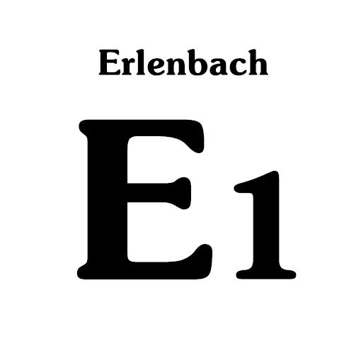


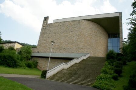
You follow the cultural route in Antoniusstraße and arrive at the Antonius Church (cultural route info board). At the signpost there, turn right and follow the Franconian Red Wine Hiking Trail via Armbergsweg to Armbergskopf. Past orchards and the forest edge, cross the Wittersbach with a slight ascent to the "Sohlödenwiesen" signpost. There you leave the Franconian Red Wine Hiking Trail, turn left onto the Erlenbach "E1", cross over the former Streit-Erlenbach church path to the other forest edge and arrive at the "Seltersgraben" signpost. Turn left and follow the Erlenbach "E2" initially along the Schippach-Streit border path at the forest edge, past the former clay mining (lake) and the Oberschippach fountain, to the "Schippacher Wald" signpost. There you meet the Franconian Marian Way and follow it straight ahead to the rest area with a wonderful view and then continue down to Schippach. There, you pass the St. Pius Church built in 1960 and the cemetery. At the signpost, turn left to Antonius Church. There you follow the cultural route, which takes you right past the church on the way back to the parking lot on Antoniusstraße.
Autobahn A3 to the Stockstadt exit, then continue on B469 towards Miltenberg until Elsenfeld. Then follow the signs to Rück-Schippach.
By train from the direction of Aschaffenburg or Miltenberg to the Obernburg Elsenfeld stop. Then continue by bus line 64 towards Elsenfeld-Rück. Get off at the Rück-Alte Schule stop.
Elsenfeld district Schippach, Antoniusstraße parking lot
Popularne wycieczki w okolicy
"Of Clay, Stones and Shards"
średniWędrówka 8,31 km- 5,0
Dorfprozelten: Kollenburg-Chapel-Route
średniWędrówka 11,8 km Obernburg - Eisenbach round
średniWędrówka 10,7 km- 4,0
European cultural route: "From Hecke to Häcke in Hebboch"
średniWędrówka 10,2 km - 5,0
Kulturweg Niedernberg: Blechkatzen im Honischland
Wędrówka 10,2 km - 5,0
Rüdenau mountain hike R1
ciężkiWędrówka 13,8 km - 5,0
Roman Route in Miltenberg M1
średniWędrówka 15,2 km Miltenberg - Engelberg Monastery - Kleinheubach Castle - round trip
ciężkiWędrówka 12,6 km- 3,0
Franconian Red Wine Hiking Route - 4th stage from Erlenbach to Klingenberg
światłoWędrówka 4,08 km - 5,0
Klingenberg: Hiking Trail Schnepfe
średniWędrówka 5,03 km
Wędrówki i tropienie


Nie przegap ofert i inspiracji na następne wakacje
Twój adres e-mail została dodana do listy mailingowej.