


Obernburg Star – The Spessart Water Castle Route
Poziom trudności: 1

The bike route along the Elsava, past a former monastery, leads to the "heart of the Spessart" – to the famous water castle Mespelbrunn. The route, mostly on an old railway track and thus relatively flat,...
The bike route along the Elsava, past a former monastery, leads to the "heart of the Spessart" – to the famous water castle Mespelbrunn. The route, mostly on an old railway track and thus relatively flat, impresses with varied landscapes and historic cultural monuments.

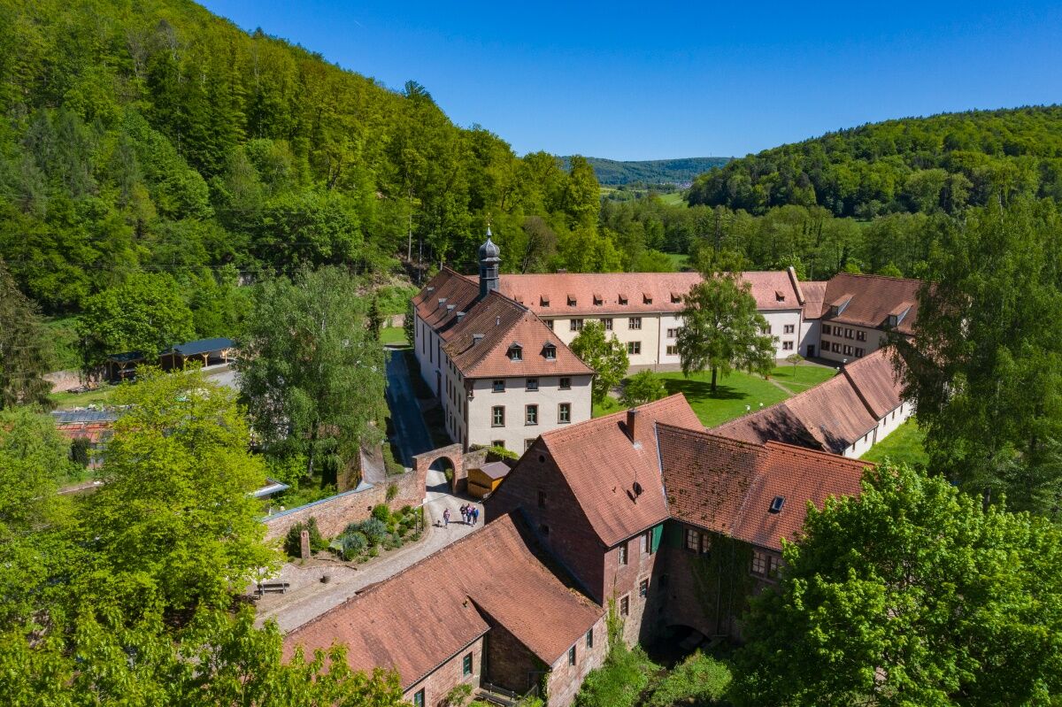
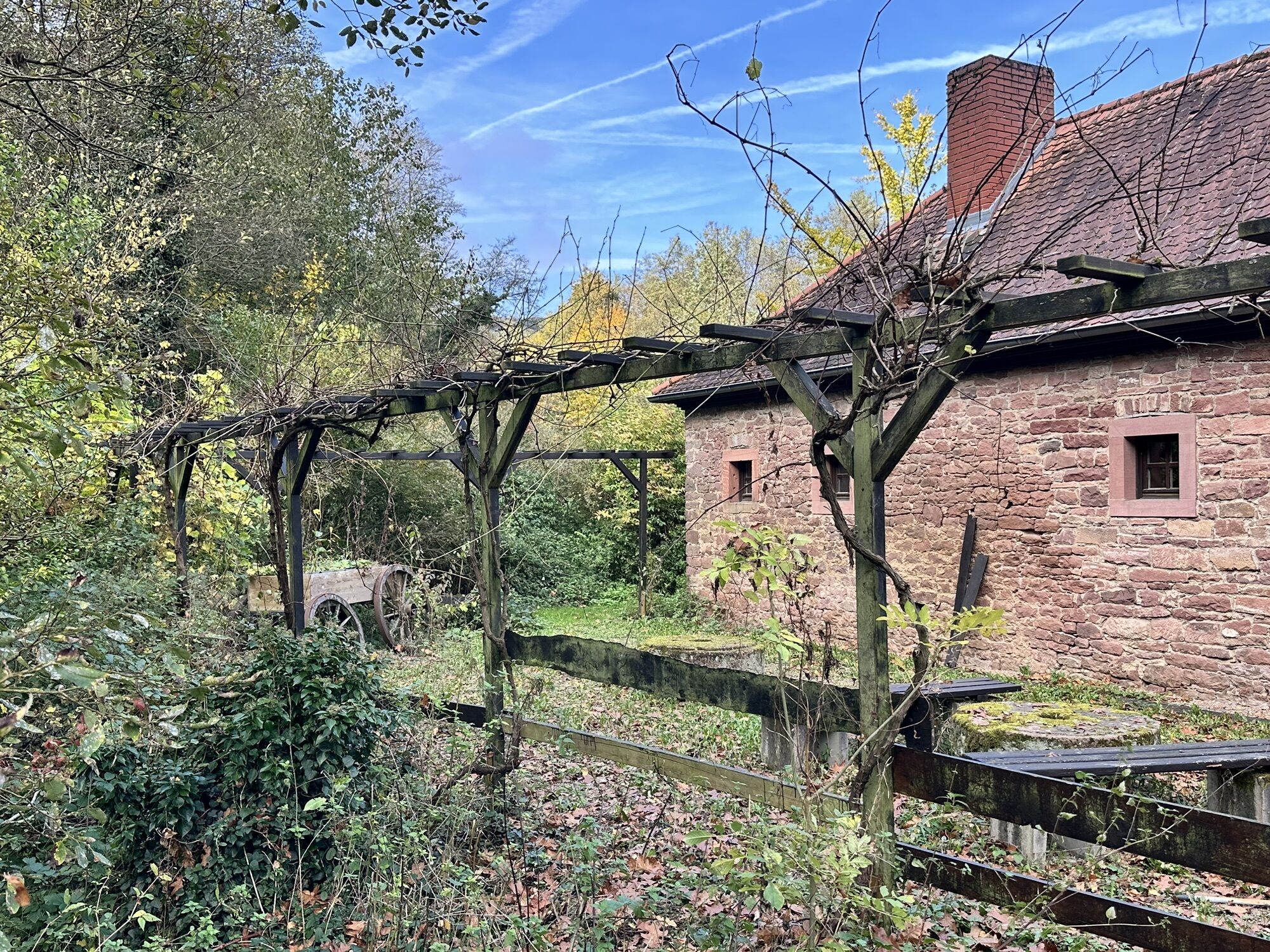
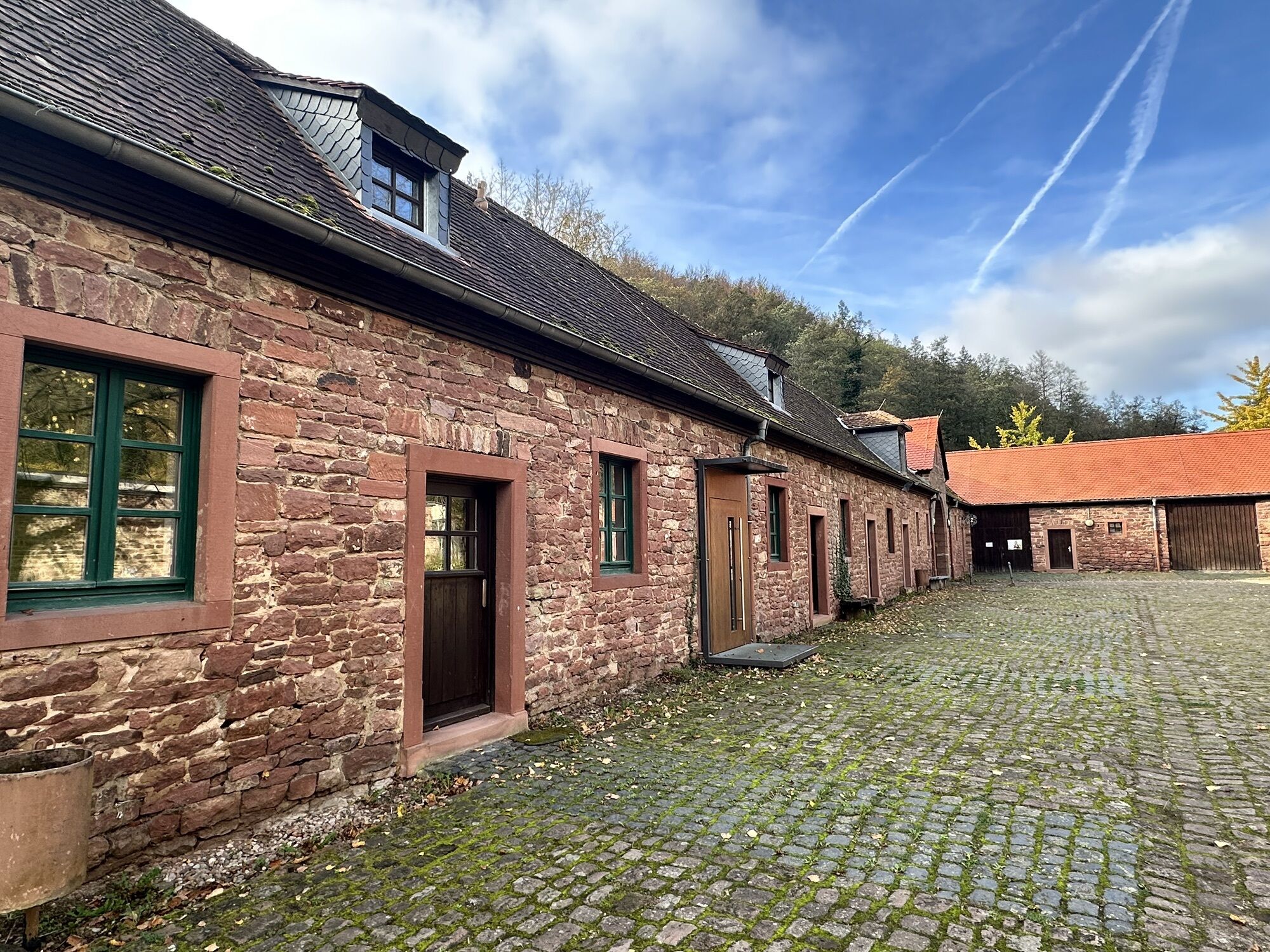
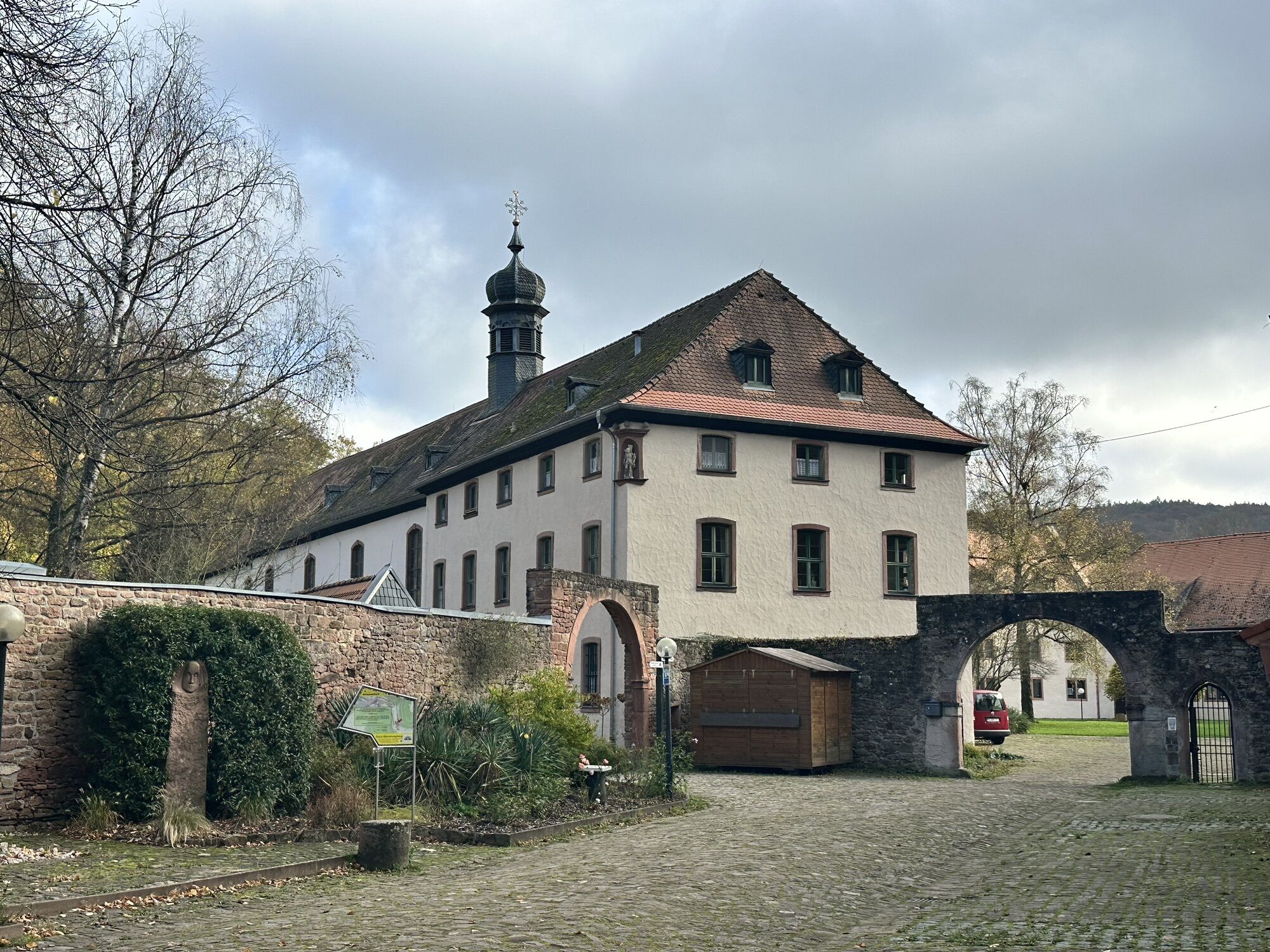
The starting point is the Obernburg Star Info Point at the Anna Chapel in Obernburg. Cross the pedestrian Main bridge to the Obernburg-Elsenfeld train station, where the long-distance destinations "Eschau/Mespelbrunn" are signposted. At the exit of Elsenfeld near the school center you will come across the bike path, which from this point on runs largely along the old railway line. On the way to Rück-Schippach you can already see the steep vineyards of the "Rücker Schalk" wine region from afar. Towards Eschau, the route passes by the beautifully valley-embedded Himmelthal monastery, whose visit offers a moment of peace and reflection.
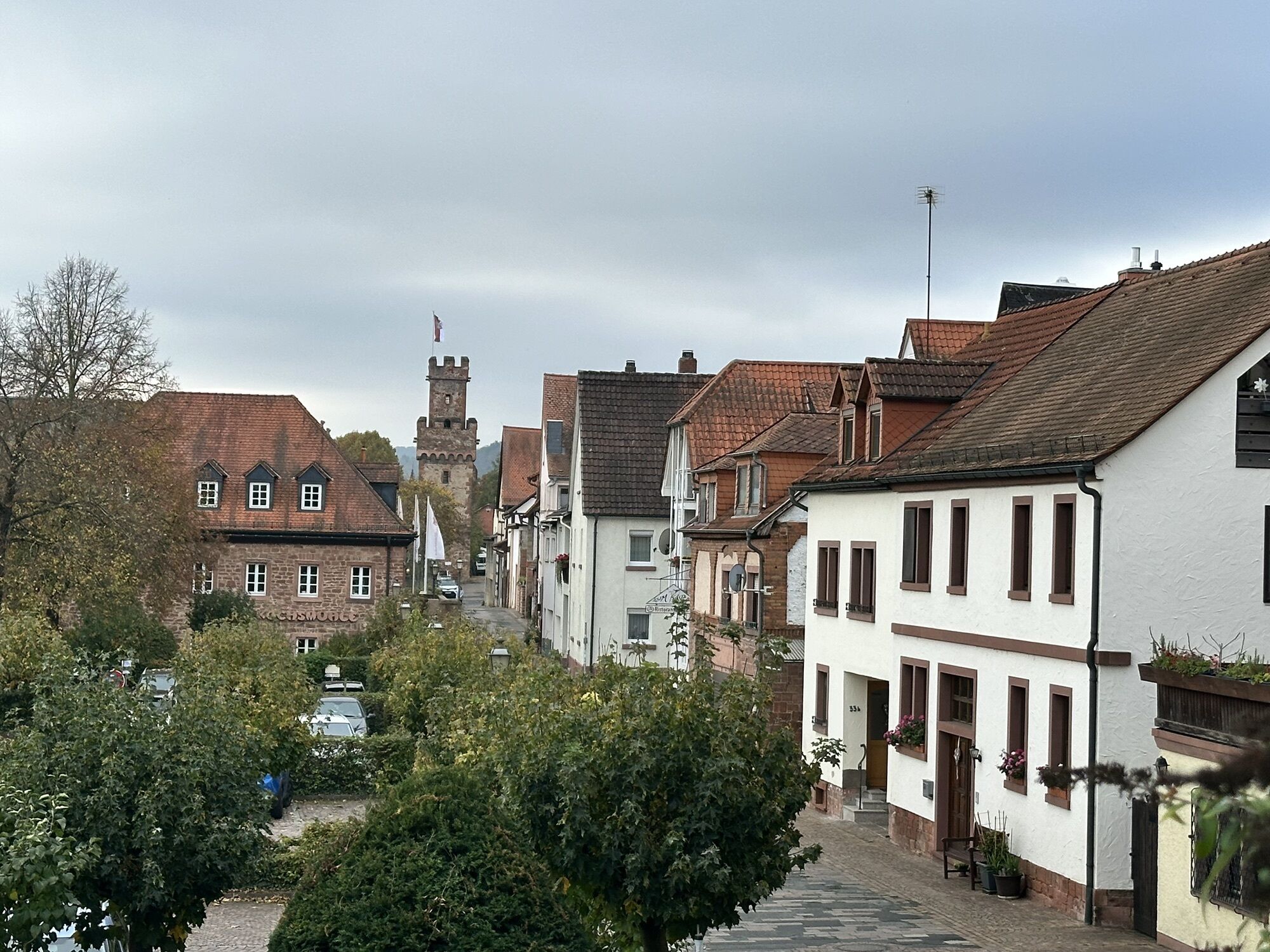
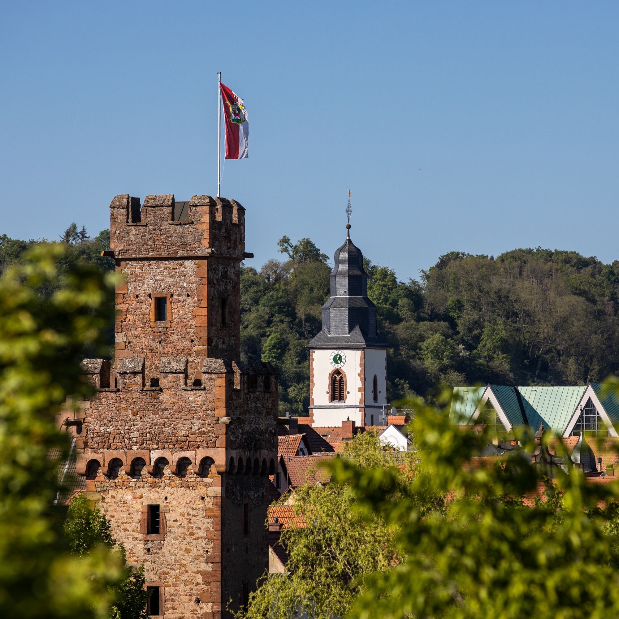
Varied natural landscapes and a beautiful view of the Spessart hills accompany you on the way to Eschau. Cross the country road before Eschau and follow the bike path to the roundabout – a short detour to the "Castle Landscape" information center is worthwhile.
The signage leads you from the roundabout further towards Unteraulenbach, past extensive orchard meadows. Those interested can make a short detour from the hamlet of Unteraulenbach to Oberaulenbach with its small, romantic Renaissance water castle (15th century; visit only from outside) and a small animal enclosure.
In Hobbach, you can visit St. John's Church. A section with almost untouched cultural landscape follows, accompanied by the gradually narrowing Elsava. Shortly before Heimbuchenthal you pass the Höllhammer, a former iron hammer that once served here.
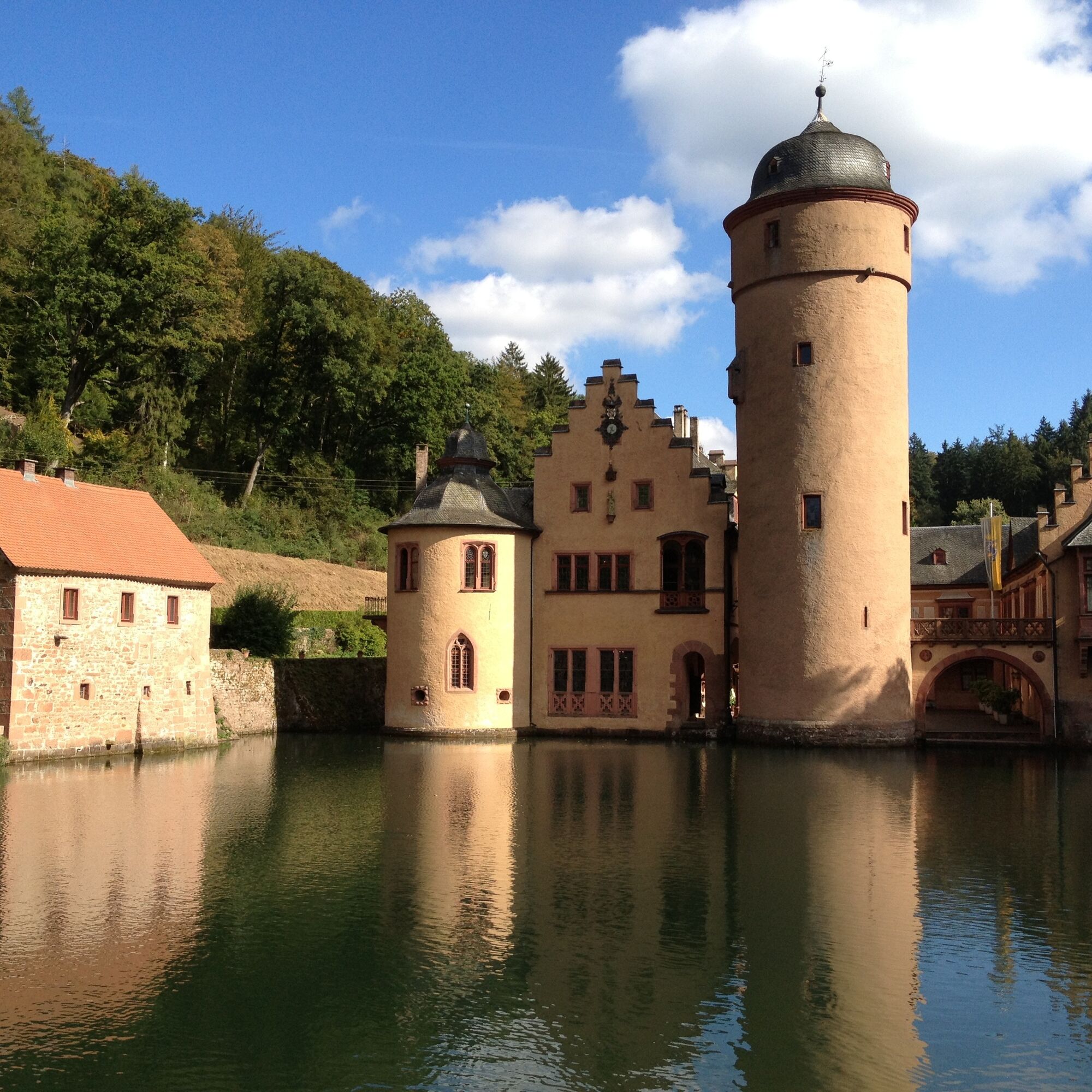
The route leads through the beautiful spa park with the “Pedalwelt” bicycle museum in Heimbuchenthal. Then cycle on to the Baroque church St. Martin in the town center and then parallel to the main road towards Mespelbrunn. Halfway up, your view falls on the adventure golf facility harmoniously embedded in nature, which promises fun for young and old. In Mespelbrunn, turn right and reach the destination, hidden in a secluded Spessart valley: the famous water castle Mespelbrunn. With fresh impressions, you cycle the same route back through the beautiful Spessart landscape to Obernburg.
Tak
From Frankfurt: From the A3 at Aschaffenburg, take the B469 (exit "Stockstadt") towards Miltenberg. The Obernburg exit is signposted.
From Würzburg: From the A3, take the exit "Rohrbrunn." Obernburg is signposted.
By train towards Aschaffenburg or Miltenberg to the Obernburg-Elsenfeld stop. Then cross the pedestrian bridge to Obernburg and continue straight ahead for 200 meters to find the town hall square.
Bus: Information on how to reach the starting point using public transport can be found at www.vab-info.de or by calling 06021-1506666.
Free parking at the Anna Chapel or at the festival ground on the Main
1
The other routes of the Obernburg star:
Popularne wycieczki w okolicy
-
"Of Clay, Stones and Shards"
średniWędrówka 8,31 km -
5,0
Dorfprozelten: Kollenburg-Chapel-Route
średniWędrówka 11,8 km -
Obernburg - Eisenbach round
średniWędrówka 10,7 km -
4,0
European cultural route: "From Hecke to Häcke in Hebboch"
średniWędrówka 10,2 km -
5,0
Kulturweg Niedernberg: Blechkatzen im Honischland
Wędrówka 10,2 km -
3,0
Franconian Red Wine Hiking Route - 4th stage from Erlenbach to Klingenberg
światłoWędrówka 4,08 km -
Miltenberg - Engelberg Monastery - Kleinheubach Castle - round trip
średniWędrówka 12,6 km -
5,0
Klingenberg: Hiking Trail Schnepfe
średniWędrówka 5,03 km -
4,0
Elsenfeld district Rück: Via Eichelsbach and the Himmelthal monastery through the vineyards back to the car park in Churfranken
ciężkiWędrówka 9,32 km -
3,0
Elsenfeld district Rück: Across the vineyards past the Red Cross to Hofstetten, return over the Hochberg to the parking lot
ciężkiWędrówka 10,6 km

Wędrówki i tropienie


Nie przegap ofert i inspiracji na następne wakacje
Twój adres e-mail została dodana do listy mailingowej.