







Bachgau route

Poziom trudności: 4
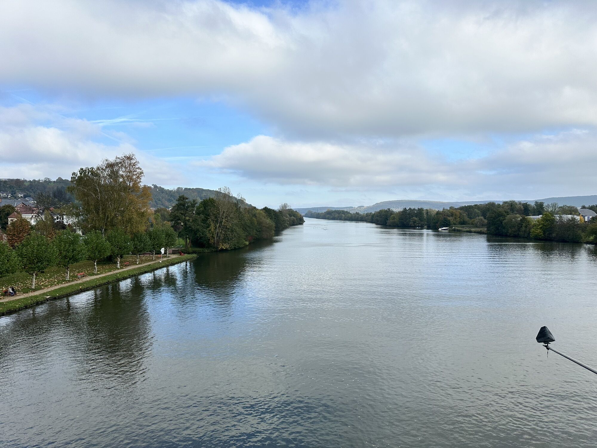
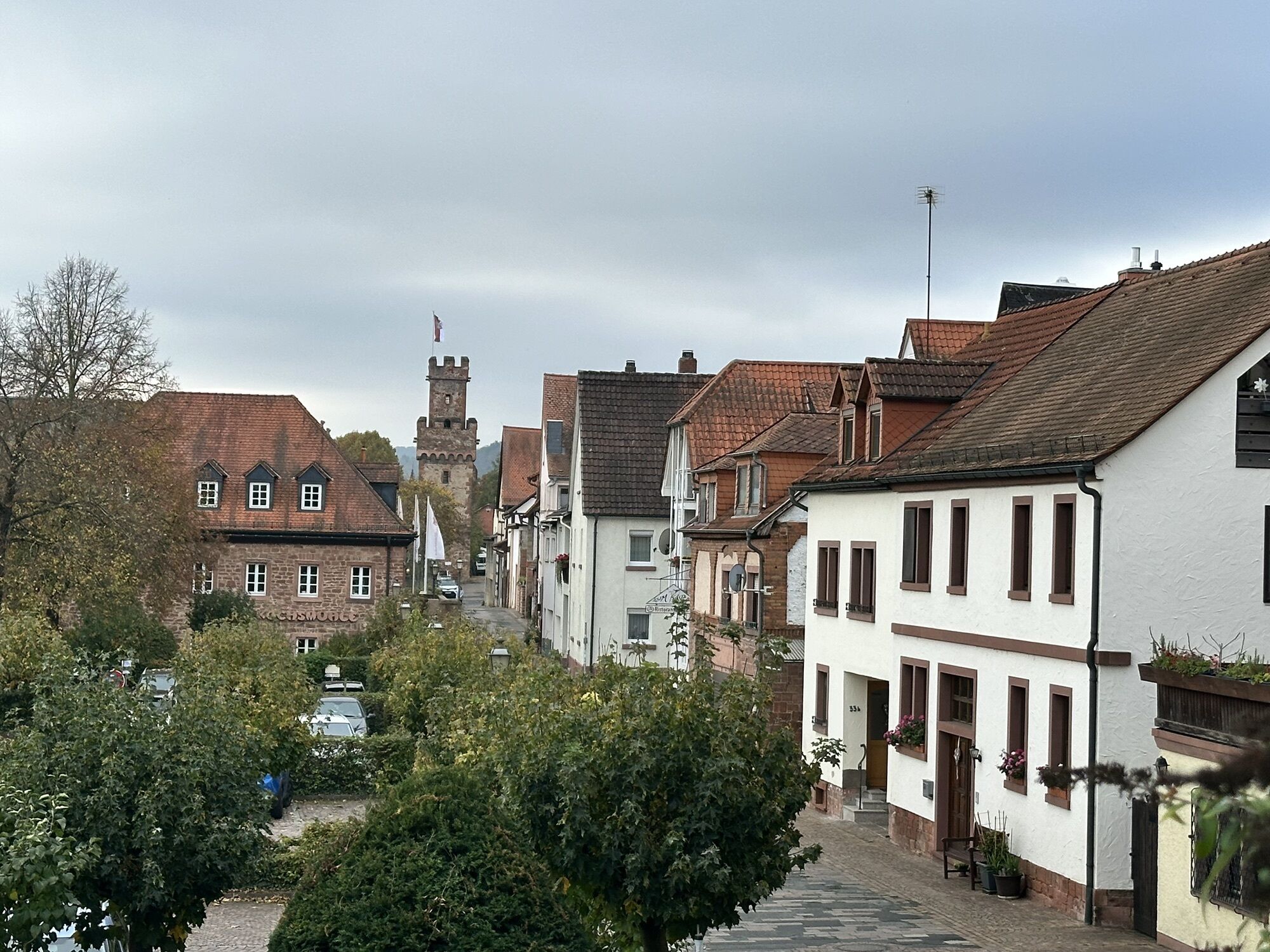


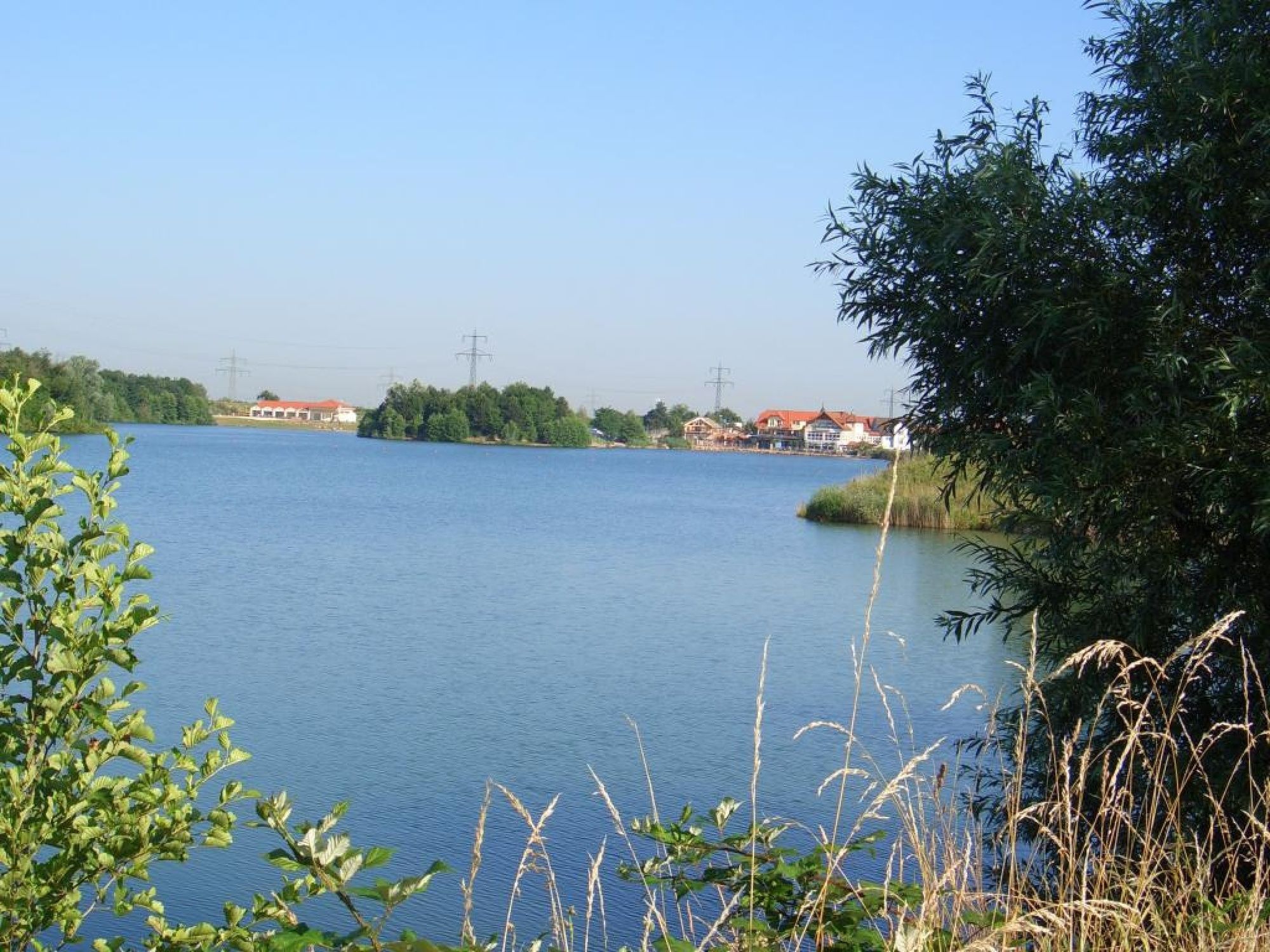

We ride downstream from Niedernberg along the Main, past the Seehotel and Honisch Beach on the officially signposted Main bike path through the town of Großwallstadt, known nationwide for handball. Along the Main riverbank, the bike path leads us to Obernburg (passing, among others, the Roman Museum). We cross the Mömling, go under the B 469 towards Eisenbach. On the right flows the Mömling and on the left are the foothills of the Odenwald. We ride past the Wallaumühle into the town of Mömlingen, passing the Mömling river again. At the town’s exit, we keep left and ride about 300 m up a steep path (10% gradient) through the fields until we reach the forest edge.
Then it goes downhill further, to the last small ascent before descending gently into the town of Wenigumstadt. We ride along the Pflaumbach creek to Pflaumheim. At the end of Gartenstraße, we turn right into the street "In der Au", cross the main road and reach Großostheim via the Pflaumheimer sports ground.
Then we turn into Kunostraße and continue right on Riegelstraße until we meet Maßpforte street. Here we turn left and after a few meters straight ahead, we reach the marketplace of Großostheim. Only about 30 meters from the marketplace is the noteworthy Bachgau Museum. Then we ride about 200 m back, go via Jahnstraße and Amselweg to the town's exit and then cycle on the bike path to Niedernberg, passing the town's landmark, the 41 m high water tower called "Langen Adam", back to the starting point of the bike route.
This route can also be ridden with a handbike.
Touring or trekking bike with multiple gears
A3 to Stockstadt exit, continue on B 469 towards Miltenberg to Niedernberg/Großostheim
By train from Miltenberg to Obernburg/Elsenfeld stop, then to the bus stop Bahnhof Westseite (2 min walk), from there continue with bus line 60 to Waldweg, Niedernberg.
Parking available in Pfarrer-Seubert-Straße, opposite the Musicum and in the "Hintermauer" near the library.
4
Niedernberg: circular hiking trail around the lake of about 45 minutes; Obernburg: location on the Limes - UNESCO World Heritage Site; Großostheim: historic marketplace, oldest half-timbered house in the district of Aschaffenburg

Popularne wycieczki w okolicy
-
"Of Clay, Stones and Shards"
średniWędrówka 8,31 km -
5,0
Kulturweg Niedernberg: Blechkatzen im Honischland
Wędrówka 10,2 km -
Obernburg - Eisenbach round
średniWędrówka 10,7 km -
3,0
Franconian Red Wine Hiking Route - 4th stage from Erlenbach to Klingenberg
światłoWędrówka 4,08 km -
5,0
Klingenberg: Hiking Trail Schnepfe
średniWędrówka 5,03 km -
3,0
Elsenfeld district Rück: Across the vineyards past the Red Cross to Hofstetten, return over the Hochberg to the parking lot
ciężkiWędrówka 10,6 km -
4,0
Elsenfeld district Rück: Via Eichelsbach and the Himmelthal monastery through the vineyards back to the car park in Churfranken
ciężkiWędrówka 9,32 km -
Hike into the Mechenhard vineyards
średniWędrówka 8,01 km -
5,0
MainRadweg Miltenberg bis Aschaffenburg
Jazda na rowerze 42,8 km -
European Cultural Trail Großostheim: "Fruits of the Loess"
średniWędrówka 6,25 km
Wędrówki i tropienie


Nie przegap ofert i inspiracji na następne wakacje
Twój adres e-mail została dodana do listy mailingowej.





