







Discover rock formations

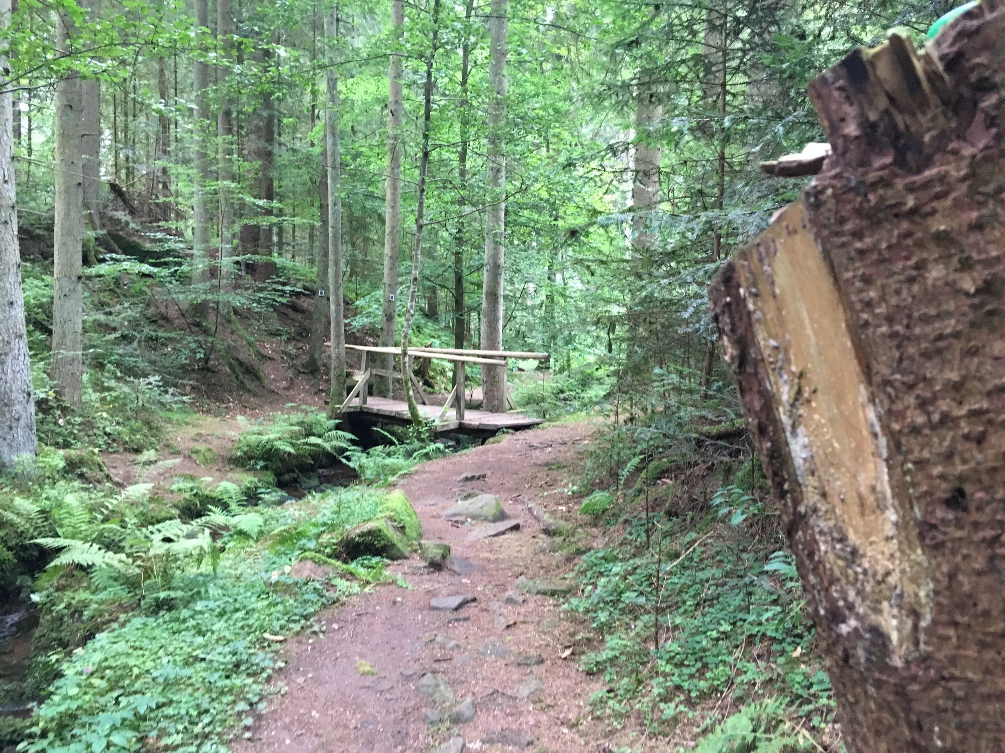
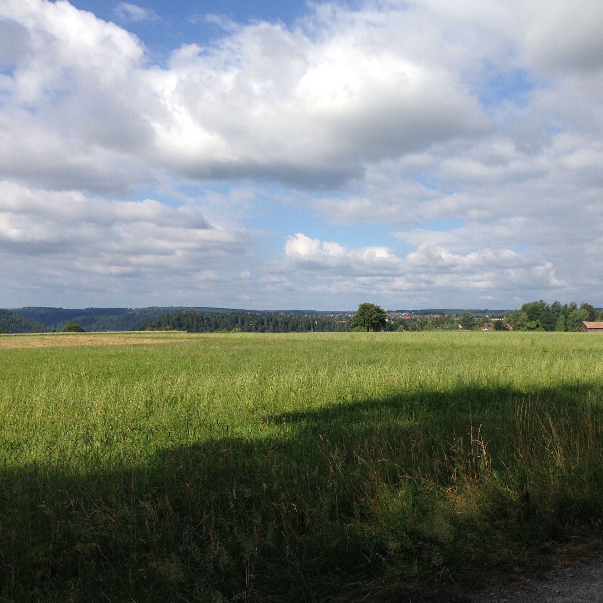
On the plateau it goes towards the Nagold valley, along the crocus meadows to the Zavelsteiner Brückle. From there, the path leads through the Rötelbachtal past the birch forest to the Stubenfelsen. After...
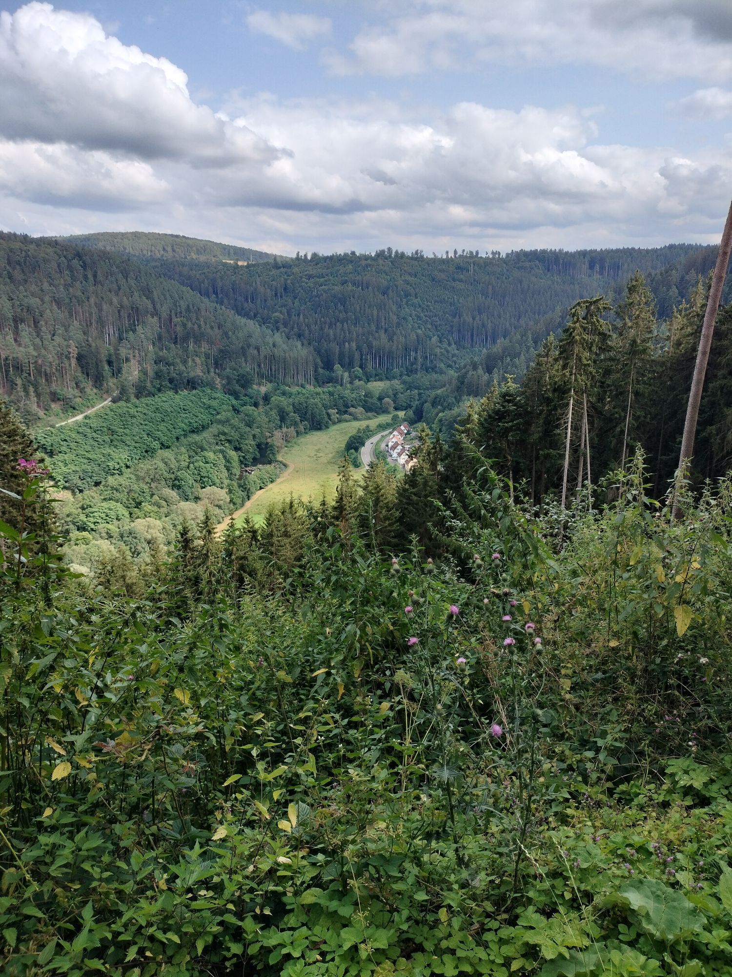
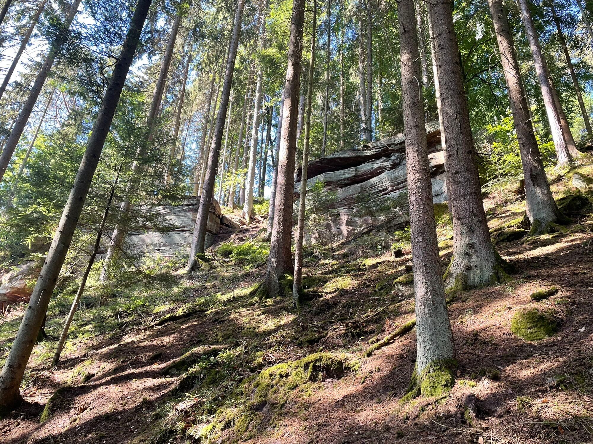
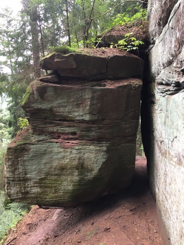
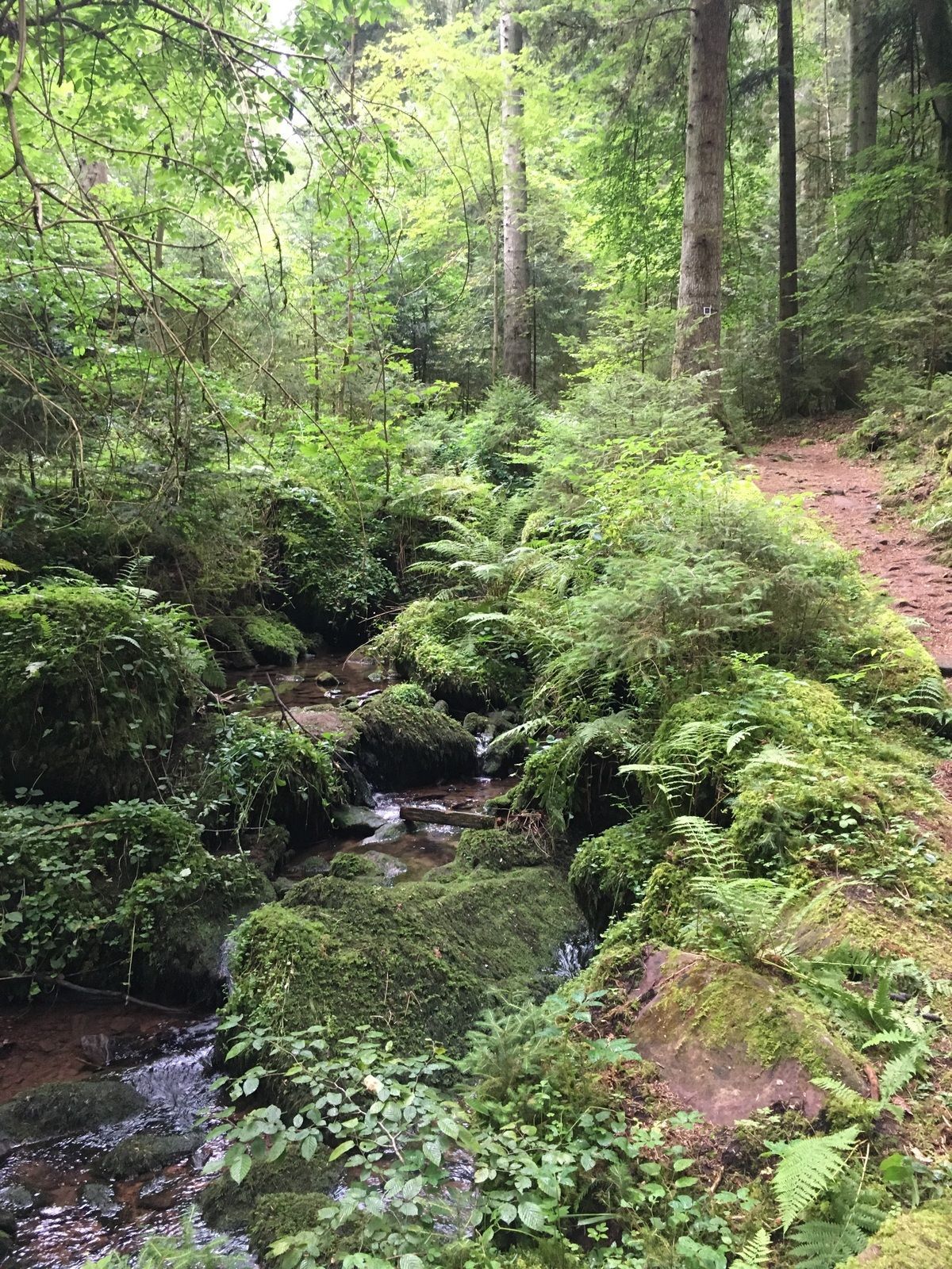
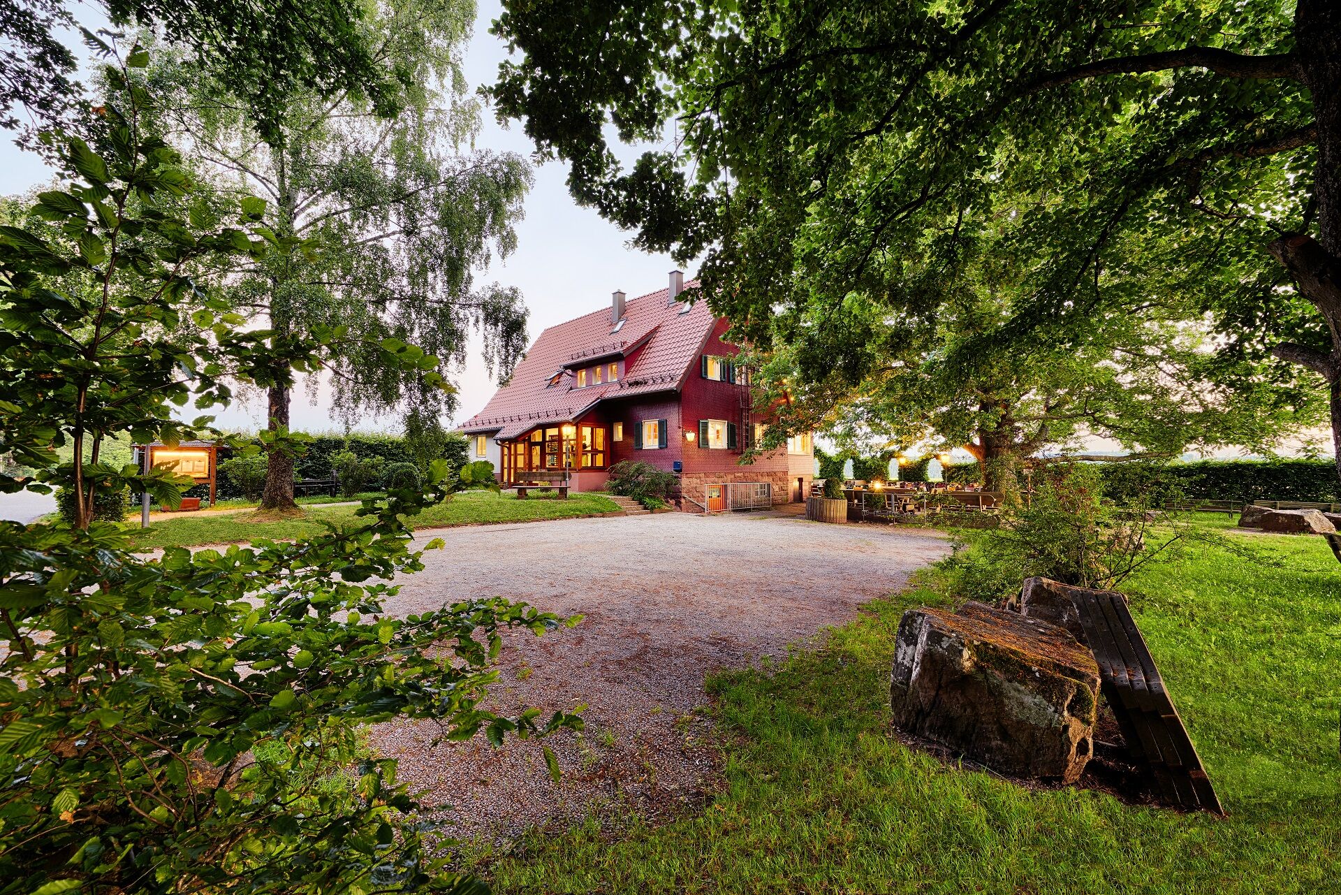
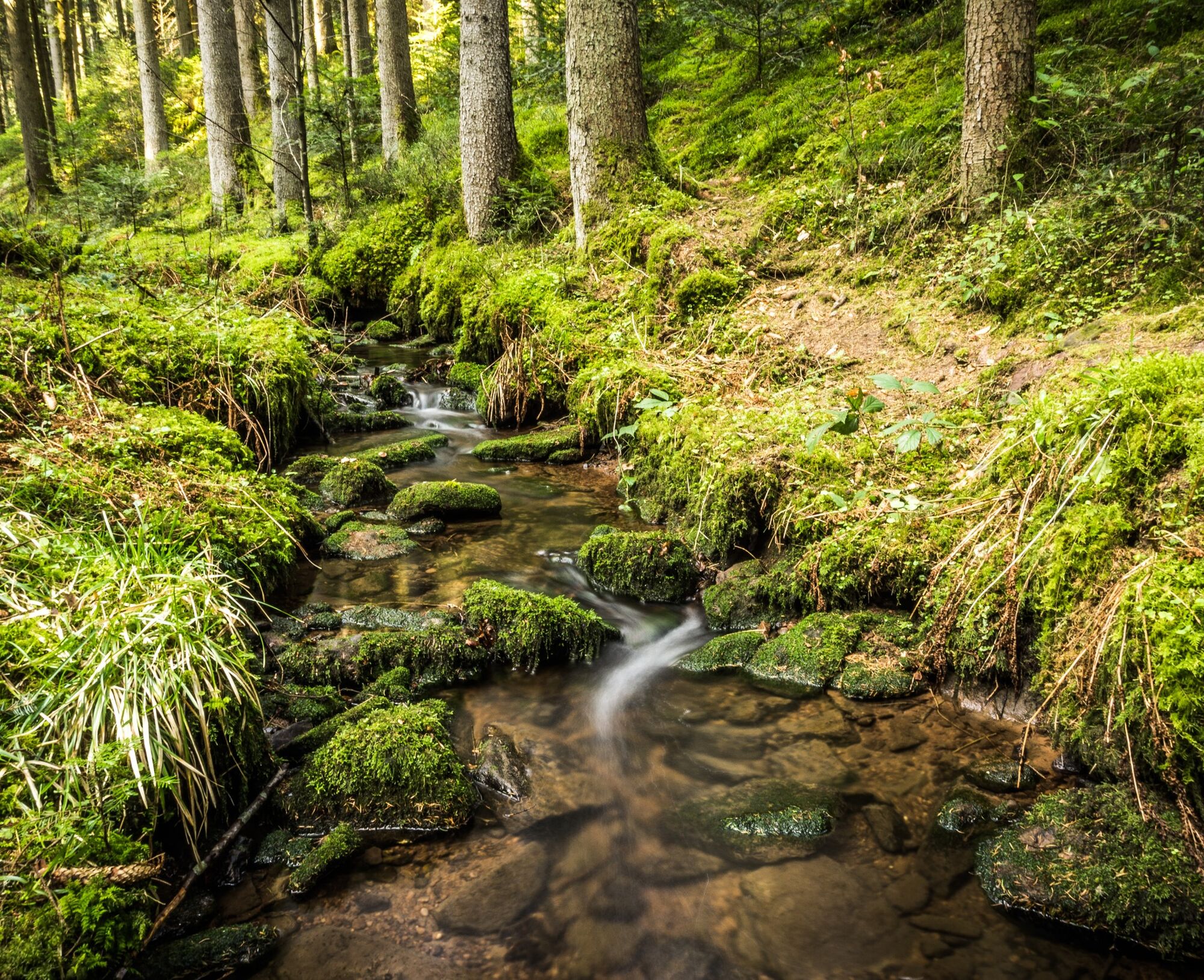
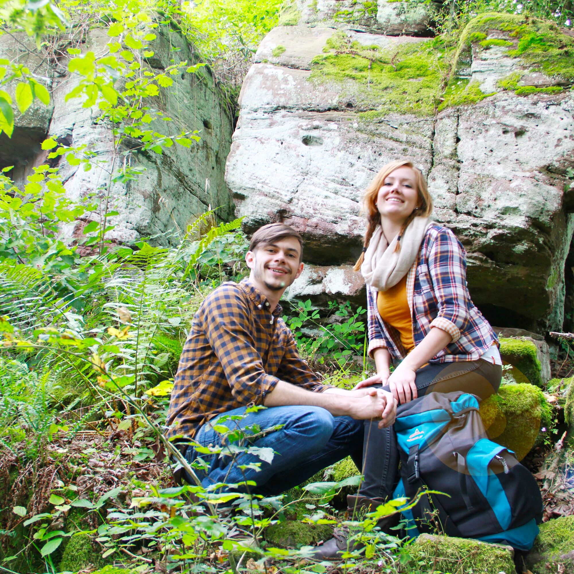
On the plateau it goes towards the Nagold valley, along the crocus meadows to the Zavelsteiner Brückle. From there, the path leads through the Rötelbachtal past the birch forest to the Stubenfelsen. After the ascent to the Stubenfelsen, a rock formation which resembles a chair through a gap and a covered rock, the hike runs past the Schützenhaus Sommenhardt back to the market square in Zavelstein.
Signage and trail network of the Black Forest Club.
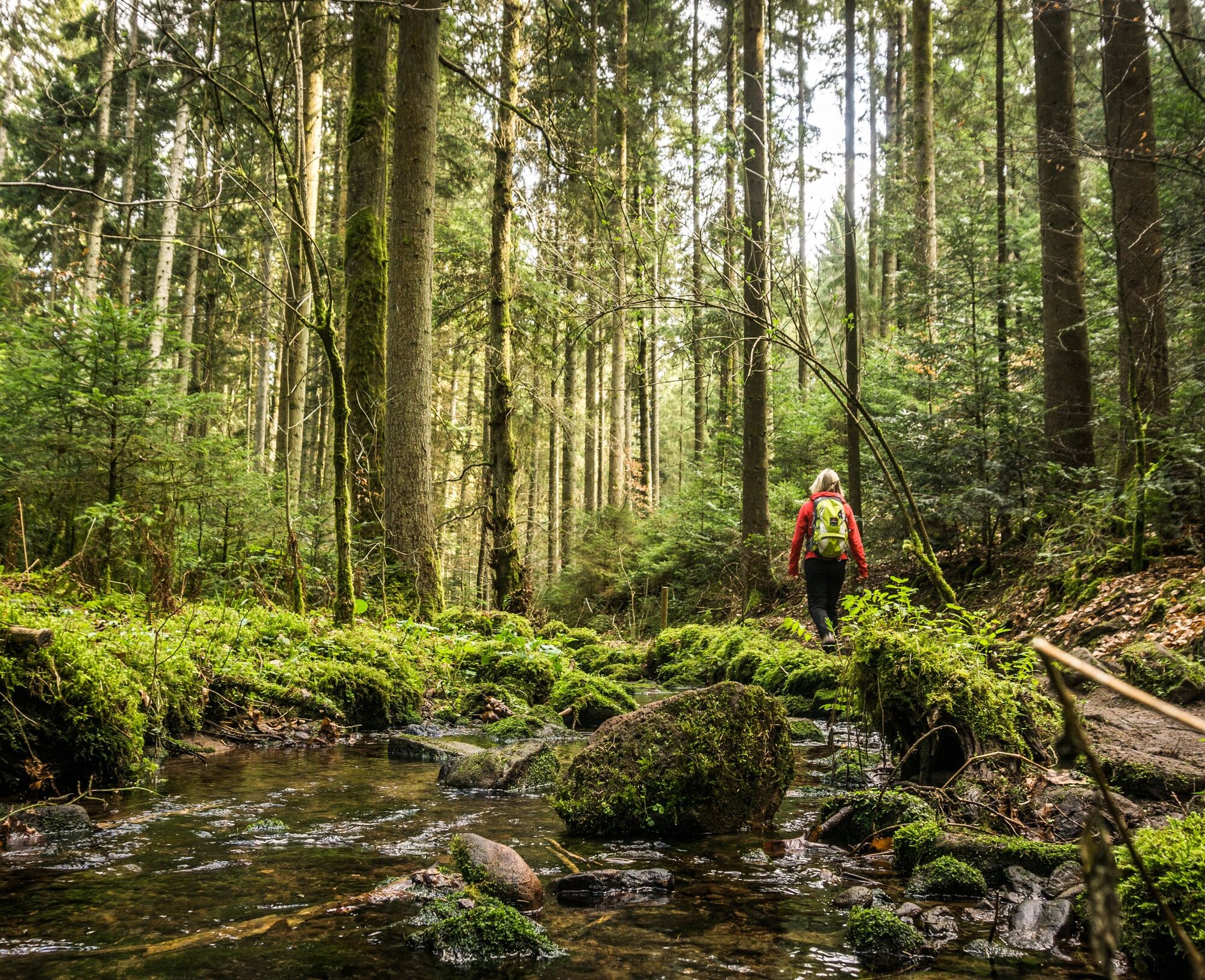
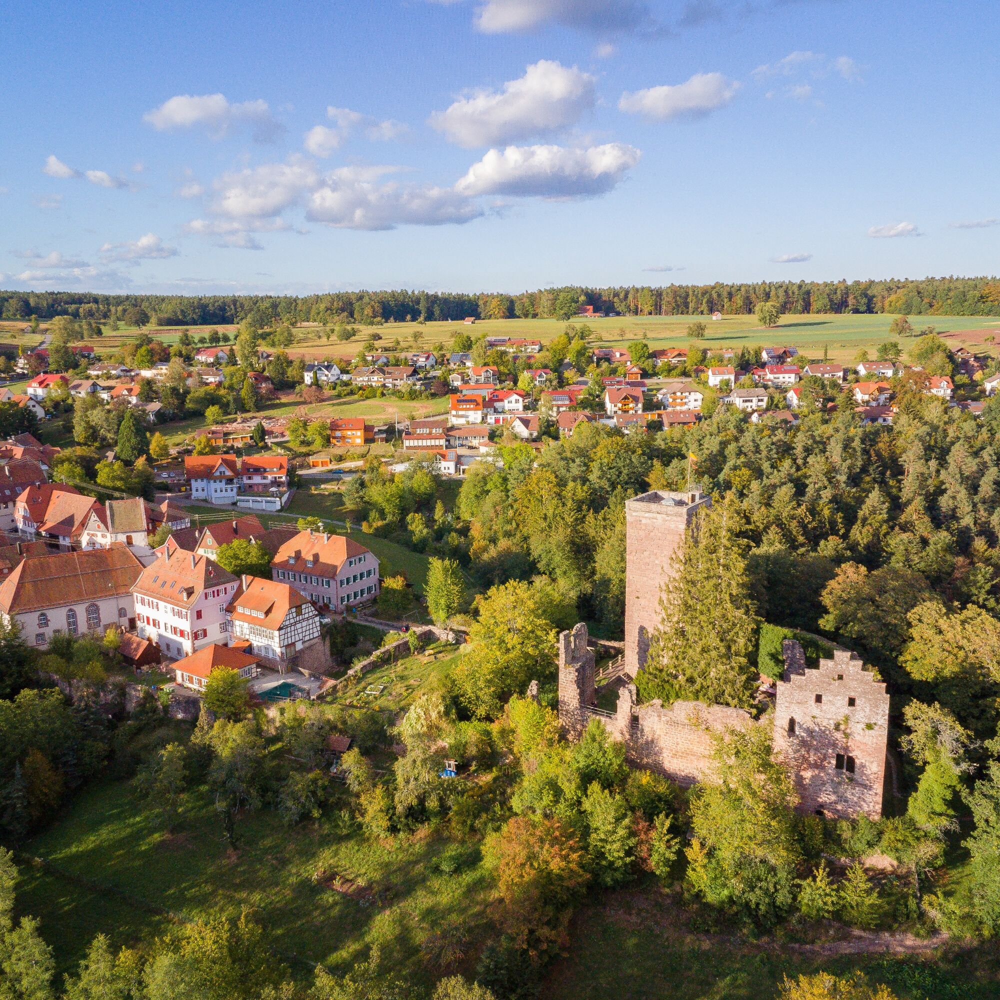
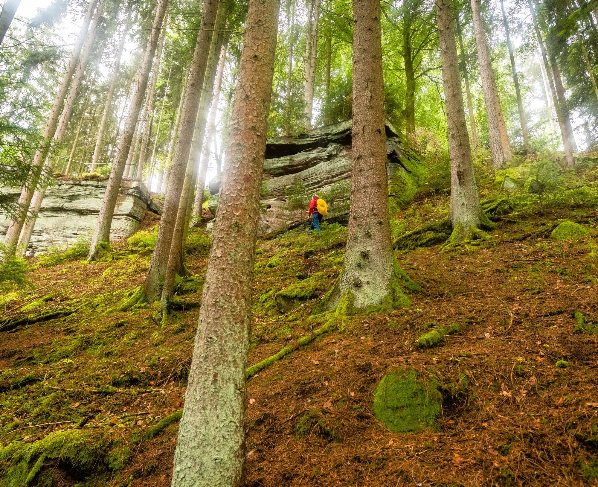
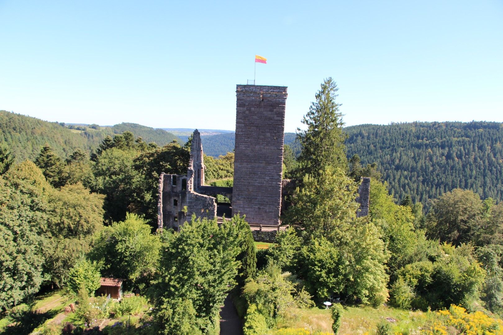
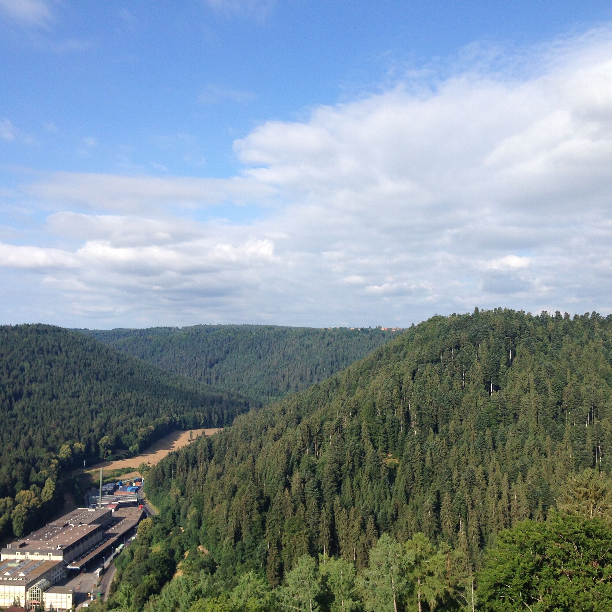
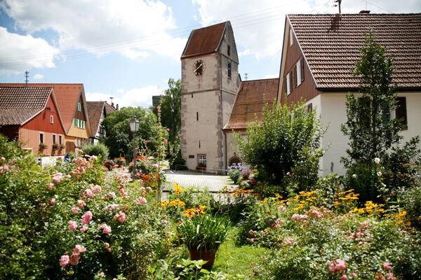
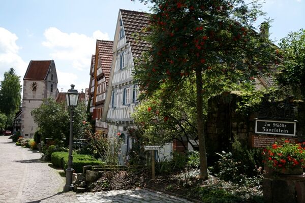

Schulstraße - Schnappenrad - Oberer Waldacker - Unterer Waldacker - Zavelsteiner Brückle - Rötelbachtal - Birkenwald - Stubenfelsen - Mittelbach - Alte Steige - Schützenhaus Sommenhardt - Steinbruch - Marktplatz Zavelstein - Schulstraße
Tak
Tak
Hiking shoes, small backpack snacks and drinks are recommended.
Good footwear (partly steep terrain)
A8 Karlsruhe, AS Pforzheim-West, B294 to Calmbach and B296 to Oberreichenbach, then L346 Zavelstein,
A8 from Stuttgart, AS Leonberg, B295 towards Weil der Stadt, Calw, B463 station Teinach, then K4306 / 4307 to Zavelstein
A81 AS Herrenberg, B28 and B296 to Calw, B463 station Teinach, then K4306 / 4307 to Zavelstein
Zavelstein is best reached by bus line 635 from Calw. The line runs hourly from ZOB Calw and also connects the station Bad Teinach-Neubulach. There, the Kulturbahn (Pforzheim-Calw-Station Teinach-Horb-Tübingen) stops every 30 or 60 minutes.
Bus stop: Zavelstein, Feuersee
On the homepage of the electronic timetable information Baden-Württemberg you will find bus and train connections linked with public transport. http://www.efa-bw.de
At the market square Zavelstein or parking spaces Krokusstraße
More hiking adventures await you in the Hiking Worlds Teinachtal.
For your personal hiking tip in the Northern Black Forest, contact us at
Teinachtal Tourism
Rathausstrasse 5
75385 Bad Teinach-Zavelstein
Email: info@teinachtal.de
Tel.: 07053 / 920 50 40
Enjoy the magnificent views of Zavelstein and the beautiful nature.
Treat yourself to the culinary delights in the Zavelstein gastronomy.
A detour to the romantic little town and Zavelstein Castle should not be missed.
You can also start this circular route from another starting point if you like.
For culinary refreshments and to-go options, you will find them at Café Zavel.

Popularne wycieczki w okolicy
-
5,0
Wild romantic Monbach Valley
światłoWędrówka 6,25 km -
4,9
Der Teinacher (Premiumweg & Genießerpfad)
średniWędrówka 12,0 km -
4,0
Wolfsschlucht and Fox Gorge
średniWędrówka 9,74 km -
4,7
Through the wild romantic Schweinbachtal to the Bruderhöhle cave
średniWędrówka 13,8 km -
5,0
Water, Woods and Meadowtrail / Zavelstein > Calw (Premium trail & Genussweg)
ciężkiWędrówka 14,4 km -
5,0
AugenBlick route Bad Teinach-Zavelstein Zettelberg
ciężkiWędrówka 15,5 km -
5,0
GeoTour Wildberg through the picturesque Lützenschlucht
ciężkiWędrówka 2,80 km -
5,0
Altensteig Nature Adventure Trail
średniWędrówka 11,6 km -
4,0
Circular route Hirsau - Oberreichenbach - Schweinbachtal - Hirsau
średniWędrówka 10,2 km -
4,5
Waldeck ruins and the largest water wheel in Europe
średniWędrówka 15,4 km

Wędrówki i tropienie


Nie przegap ofert i inspiracji na następne wakacje
Twój adres e-mail została dodana do listy mailingowej.





