







Circular hike Waldenhausen

The circular route (W9) leads you through the Waldenhausen district, past the fortified church sometimes along paved road by the Tauber. At Dellengraben, it goes through the forest up an old trade route...
The circular route (W9) leads you through the Waldenhausen district, past the fortified church sometimes along paved road by the Tauber. At Dellengraben, it goes through the forest up an old trade route uphill. Almost at the highest point of the tour, you make a hairpin turn and follow the forest path that leads you back to Waldenhausen.

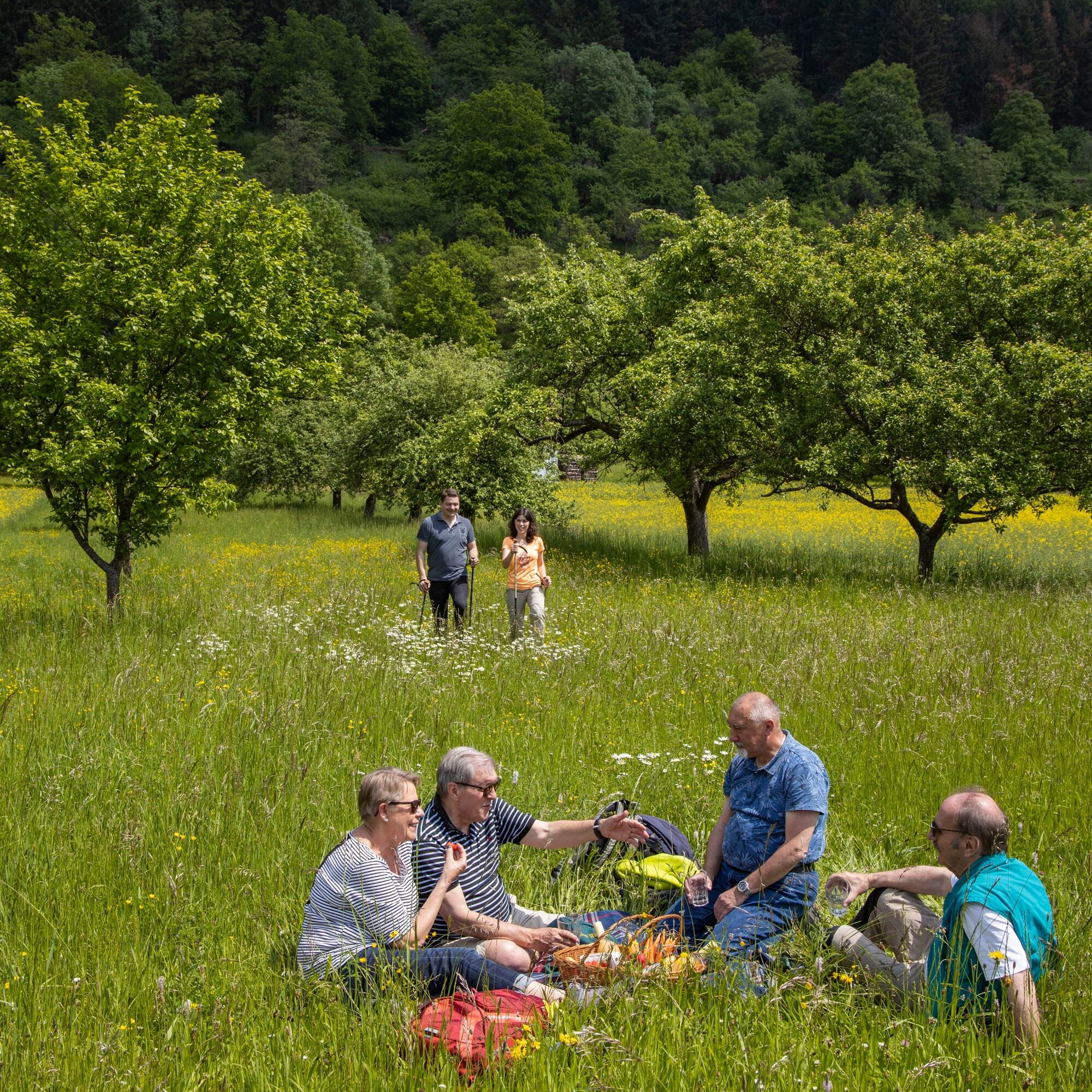
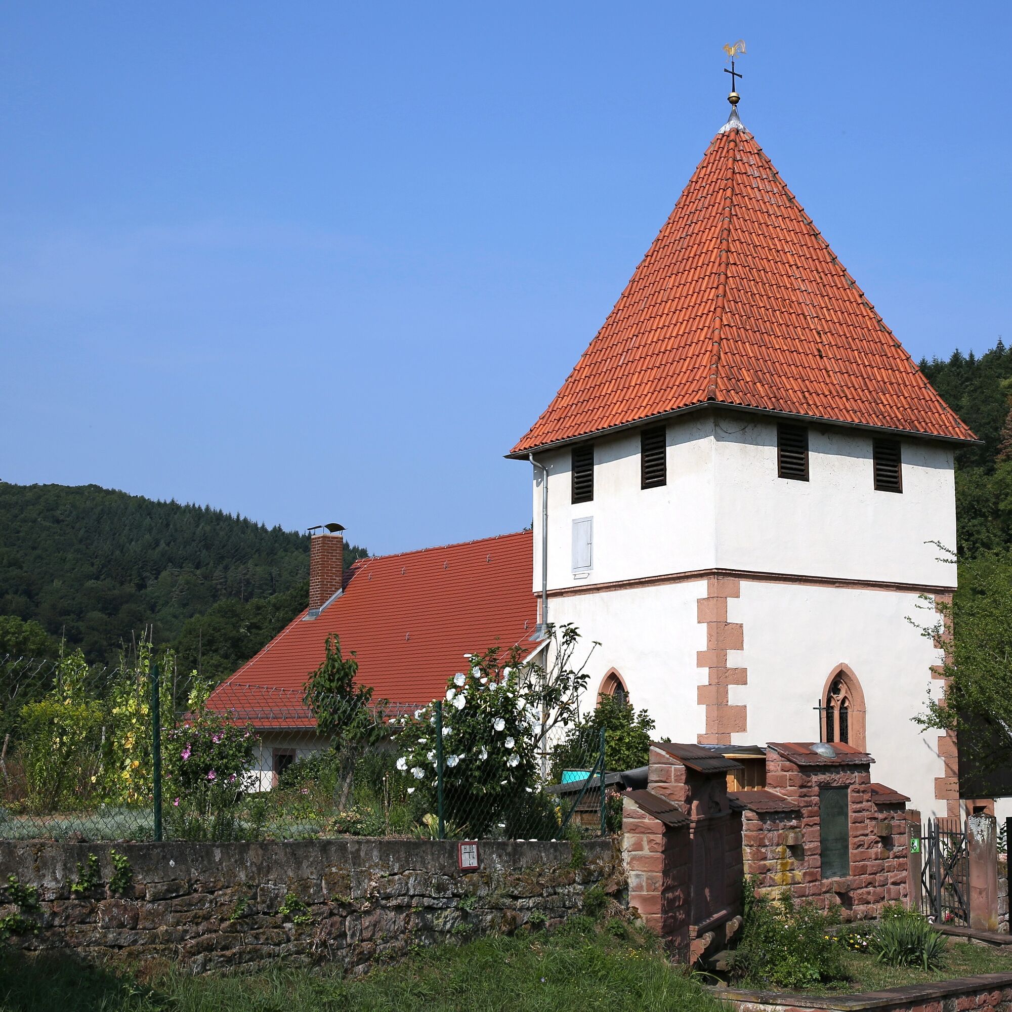

You start from the Tauber Bridge in Waldenhausen towards the town center. At the bus stop, turn right, then immediately left onto the next street, and then right again. Follow Kirchäckerstraße until you reach Steigäckerstraße, where you turn left. Follow the path out of the village and then continuously uphill through the forest.
At the end of the forest, make a hairpin turn and walk downhill along the Dellengraben. Upon reaching the valley again, turn right and follow the paved road over the railway tunnel until you reach Waldenhausen again. Here you will find the fortified church of Waldenhausen, which invites you to visit.
At the fortified church, follow the small path below the village and you will soon be back at the starting point of the hike.
Sturdy footwear and some provisions recommended.
none
You can reach Wertheim via the
Autobahn A3:
- Exit: Marktheidenfeld/Wertheim (distance: 10 km) or
- Exit: Wertheim/Lengfurt (distance: 10 km)
Autobahn A81:
- Exit: Tauberbischofsheim (distance: 30 km)
Deutsche Bahn: Wertheim is located on the railway line Frankfurt/Aschaffenburg/Lauda/Bad Mergentheim/Crailsheim.
ICE or IC travelers of Deutsche Bahn can reach Wertheim from Würzburg by train via Lauda (approx. 90 min) and by bus (approx. 60 min).
From Wertheim, take the bus to Waldenhausen.
In Waldenhausen, parking is easy in the residential area.
Visit the St. Peter's Church in Waldenhausen along the way.
Popularne wycieczki w okolicy
-
5,0
On the way to Himmelreich
średniWędrówka 15,0 km -
5,0
Dorfprozelten: Kollenburg-Chapel-Route
średniWędrówka 11,8 km -
4,0
Around the Kaffelstein
światłoWędrówka 4,71 km -
Wertheim - Urphar - Wertheim
średniWędrówka 12,8 km -
MainRadweg Wertheim bis Miltenberg
Jazda na rowerze 35,7 km -
4,5
Homburg Wine Hiking Trail
średniWędrówka 7,65 km -
Altenbuch Forest House Route
światłoWędrówka 14,8 km -
South Spessart Trail
ciężkidługodystansowy szlak pieszy 60,8 km -
4,0
Wein-Tauber hiking trail - circular route from Bronnbach
średniWędrówka 10,4 km -
4,0
Schleusen-Wanderung
światłoWędrówka 7,15 km
Wędrówki i tropienie


Nie przegap ofert i inspiracji na następne wakacje
Twój adres e-mail została dodana do listy mailingowej.





