







GeoTour Altensteig Hornberg
Accompanying the tour is a detailed brochure. It is available at the city administration or can be downloaded here.
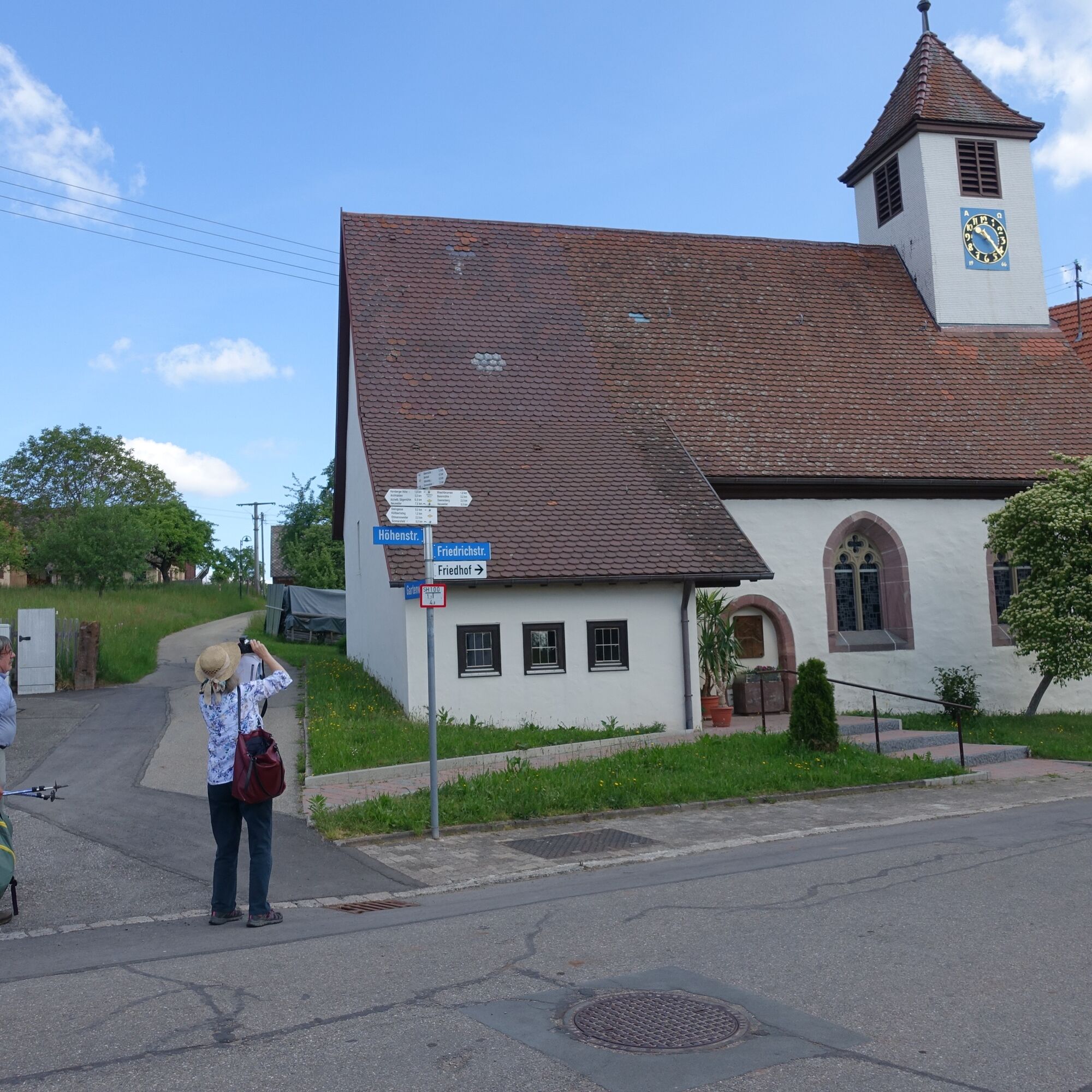
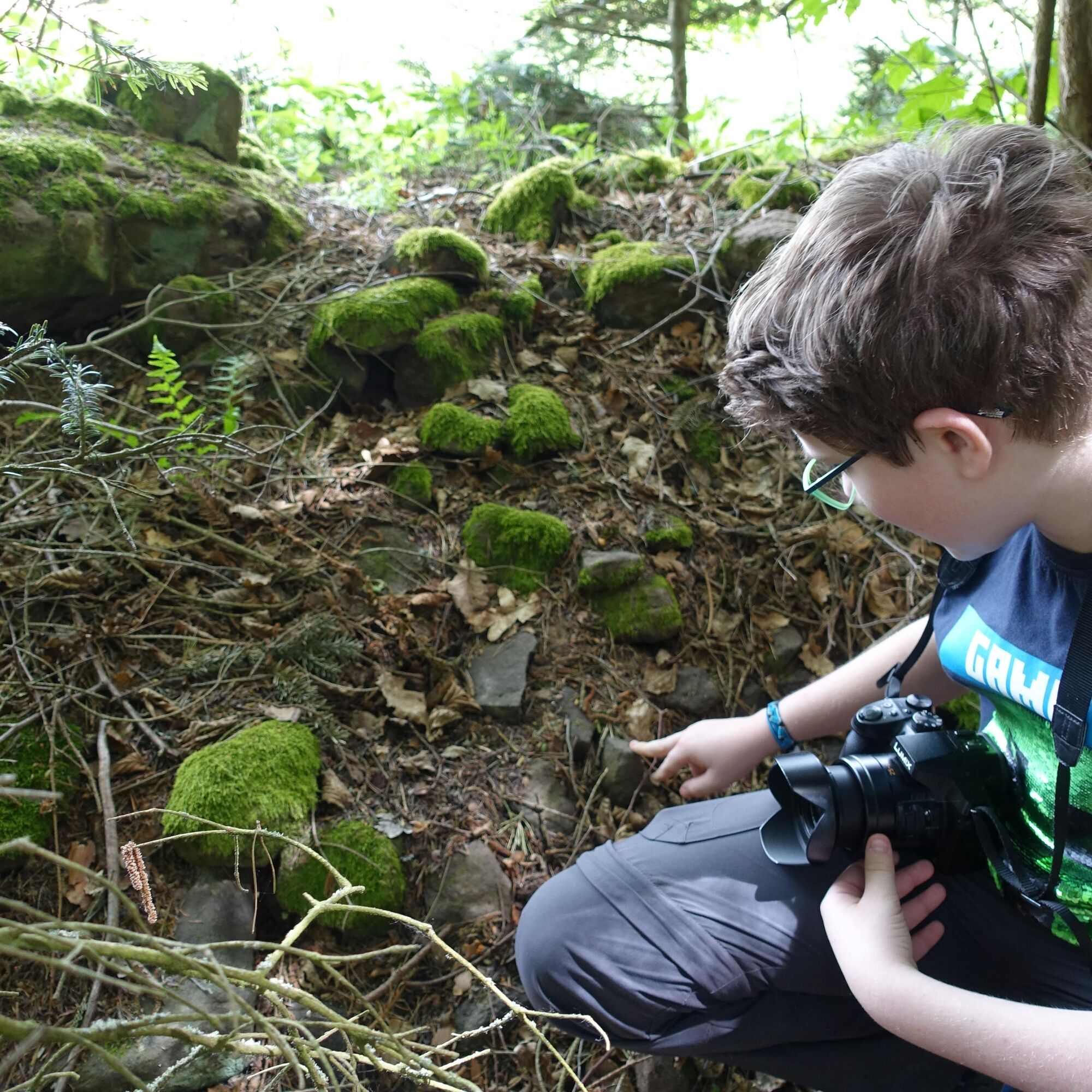
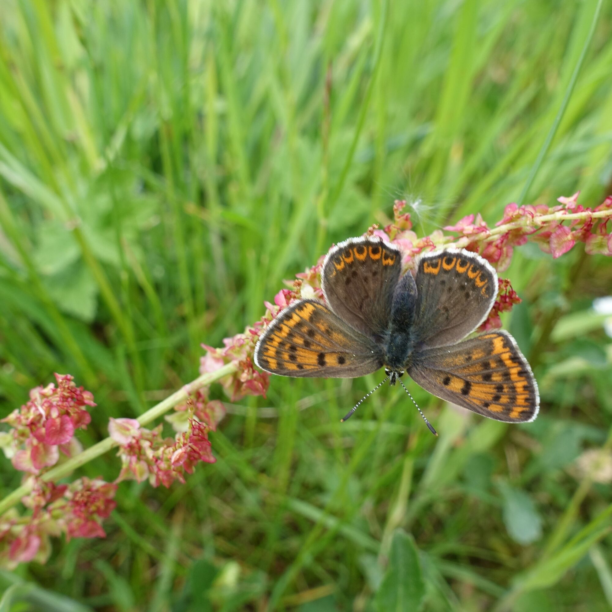
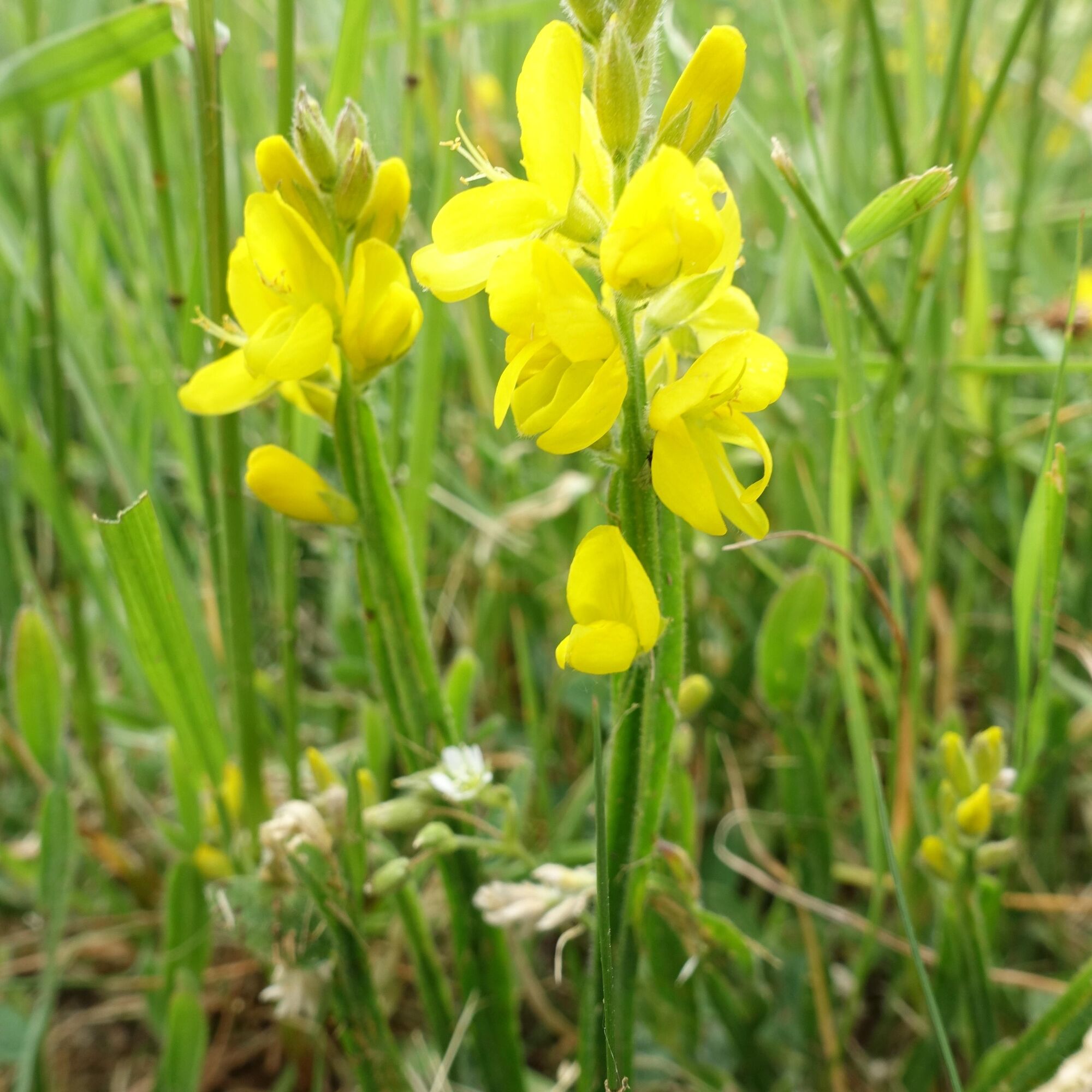

The start and finish of the GeoTour is the local administration Hornberg at Höhenstraße 11 in 72213 Altensteig-Hornberg.
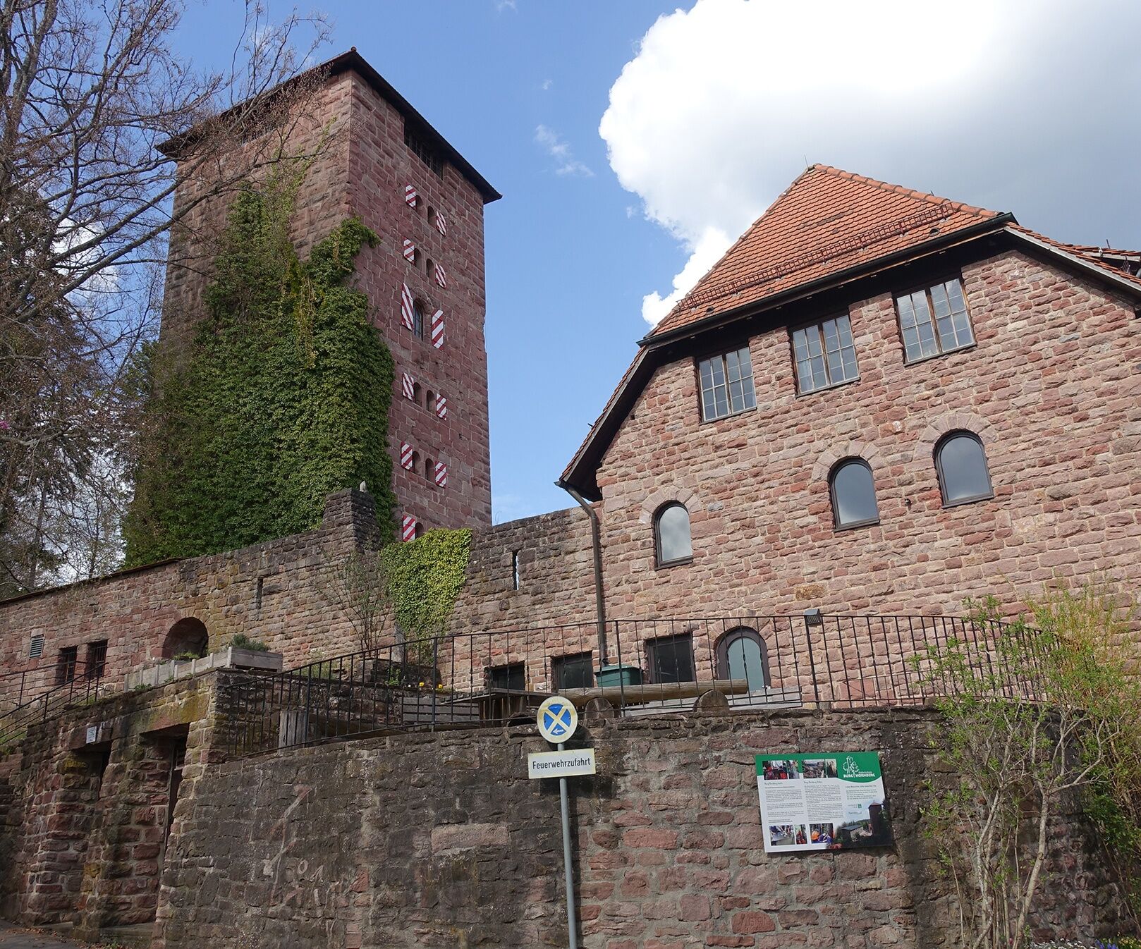
The route begins by following the yellow rhombus out of the village heading towards Hornberg Castle. Following a path through the forest, the trail runs around the village up to the heights, offering a moment with a view of the Swabian Alb. Continuing on the Hornberg Heights, after crossing the district road, it goes back towards the forest to the well with the boundary stone. From there, it continues along the forest edge back down towards Hornberg, where the tour ends at the starting point.
Tak
Tak
by car:
Coming from Altensteig, drive to Berneck and follow the signs to take road K4335 to Hornberg.
Coming from Nagold, drive via road K4339 to Altensteig, then turn right following the signs, and from Berneck take road K4335 to Hornberg.
Coming from Aichhalden, drive along road K4335 towards Berneck, then turn to Hornberg following the signs.
by public transport:
With the AL1 demand-responsive bus from Hornberg to Altensteig and back, you can register for the bus ride by phone. Please book the ride up to 60 minutes before departure at Tel. 07051/96 88 55 or online at www.vgc-online.de buchen.@LKCW. The fare is charged according to bus tariff zones. If the trip is to end at the doorstep, a small comfort surcharge will be applied.
Parking is available at the local administration office in Hornberg at Höhenstraße 11, 72213 Altensteig - Hornberg.
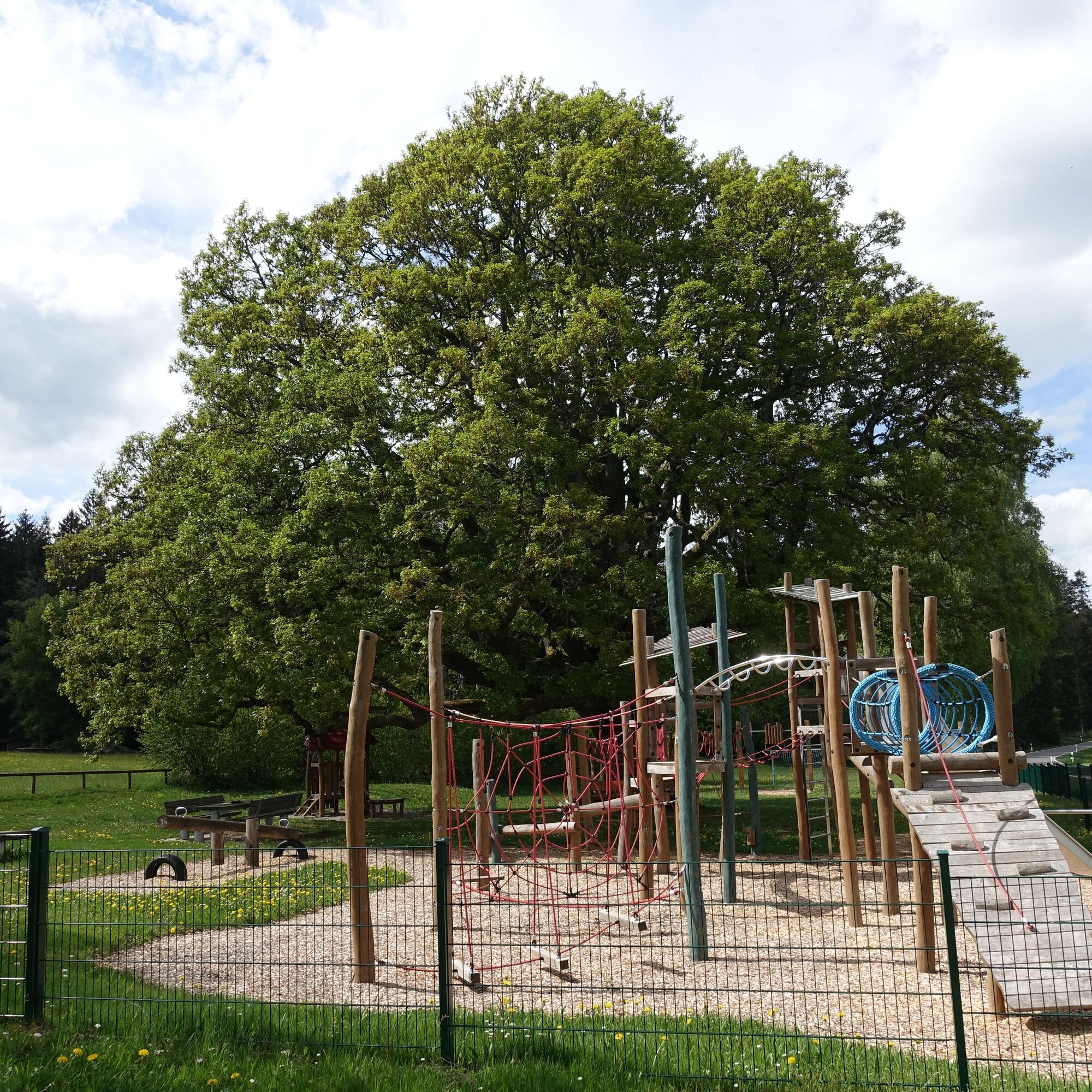
The playground on the Hornberg Heights invites you to take a break.
Popularne wycieczki w okolicy
-
5,0
Der Teinacher (Premiumweg & Genießerpfad)
średniWędrówka 12,0 km -
4,2
Kaltenbronn Circular Route No. 1 - Wildsee Moor Loop
światłoWędrówka 8,30 km -
4,7
premium hiking trail Enzquellenpfad
średniWędrówka 19,9 km -
4,3
Nature experience tour Kaltenbronn
średniWędrówka 14,2 km -
2,6
Genießerpfad zum Panoramastüble
Wędrówka 10,6 km -
5,0
Water, Woods and Meadowtrail / Zavelstein > Calw (Premium trail & Genussweg)
ciężkiWędrówka 14,4 km -
5,0
AugenBlick route Bad Teinach-Zavelstein Zettelberg
ciężkiWędrówka 15,5 km -
5,0
Rundwanderweg Sulzkar
średniWędrówka 12,4 km -
5,0
Hike through the idyllic Kälbertal
średniWędrówka 8,01 km -
5,0
GeoTour Wildberg through the picturesque Lützenschlucht
ciężkiWędrówka 2,80 km
Wędrówki i tropienie


Nie przegap ofert i inspiracji na następne wakacje
Twój adres e-mail została dodana do listy mailingowej.





