


Schömberg cycling route through Kapfenhardter Valley
Poziom trudności: 1
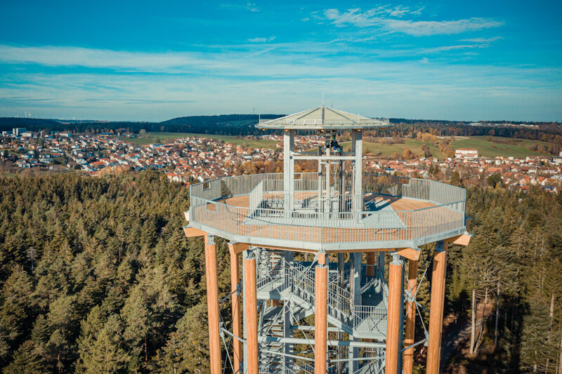
The bike route starts at the fire station parking lot in Schömberg and initially leads towards Oberlengenhardt. Not far after leaving the village, we make a detour to the "Himmelsglück" observation tower....
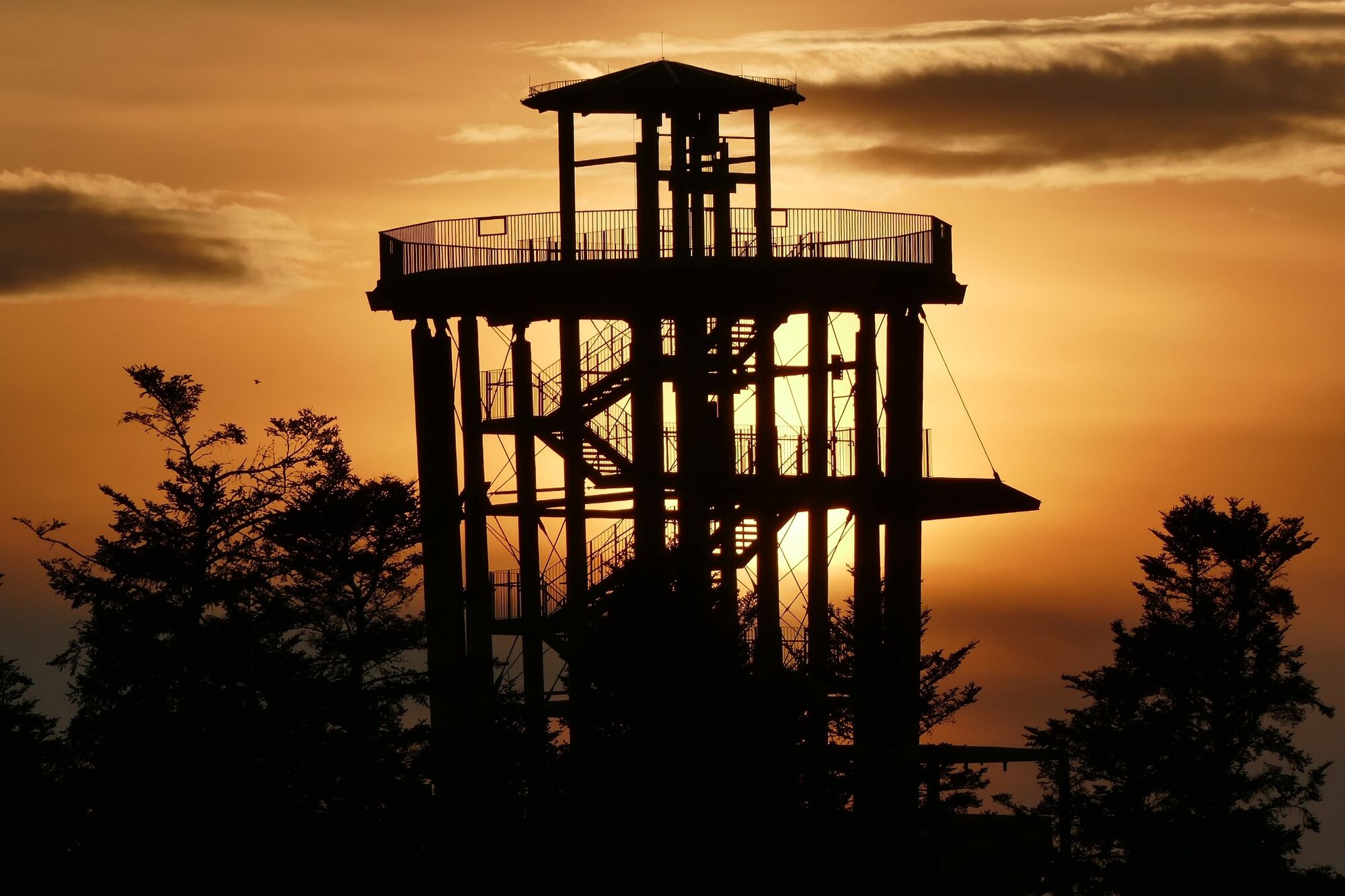
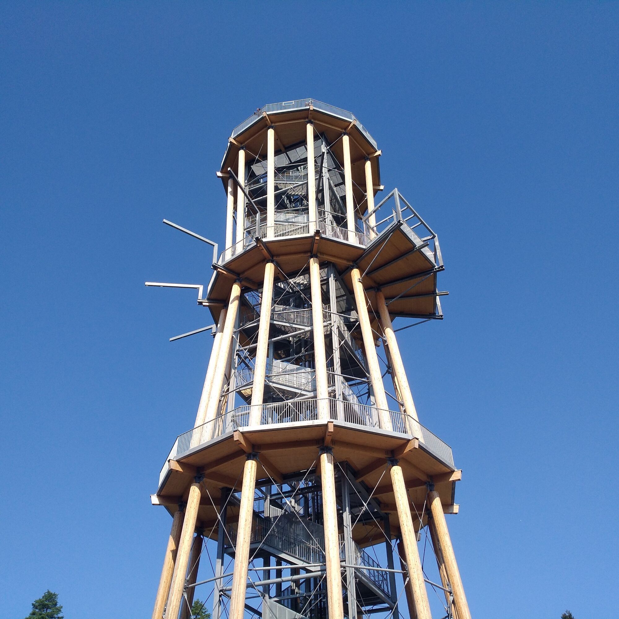
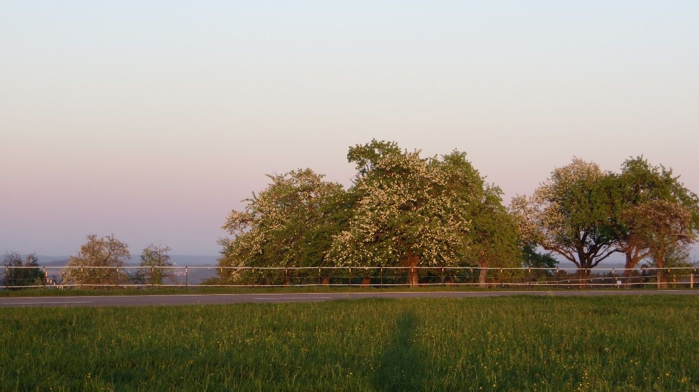
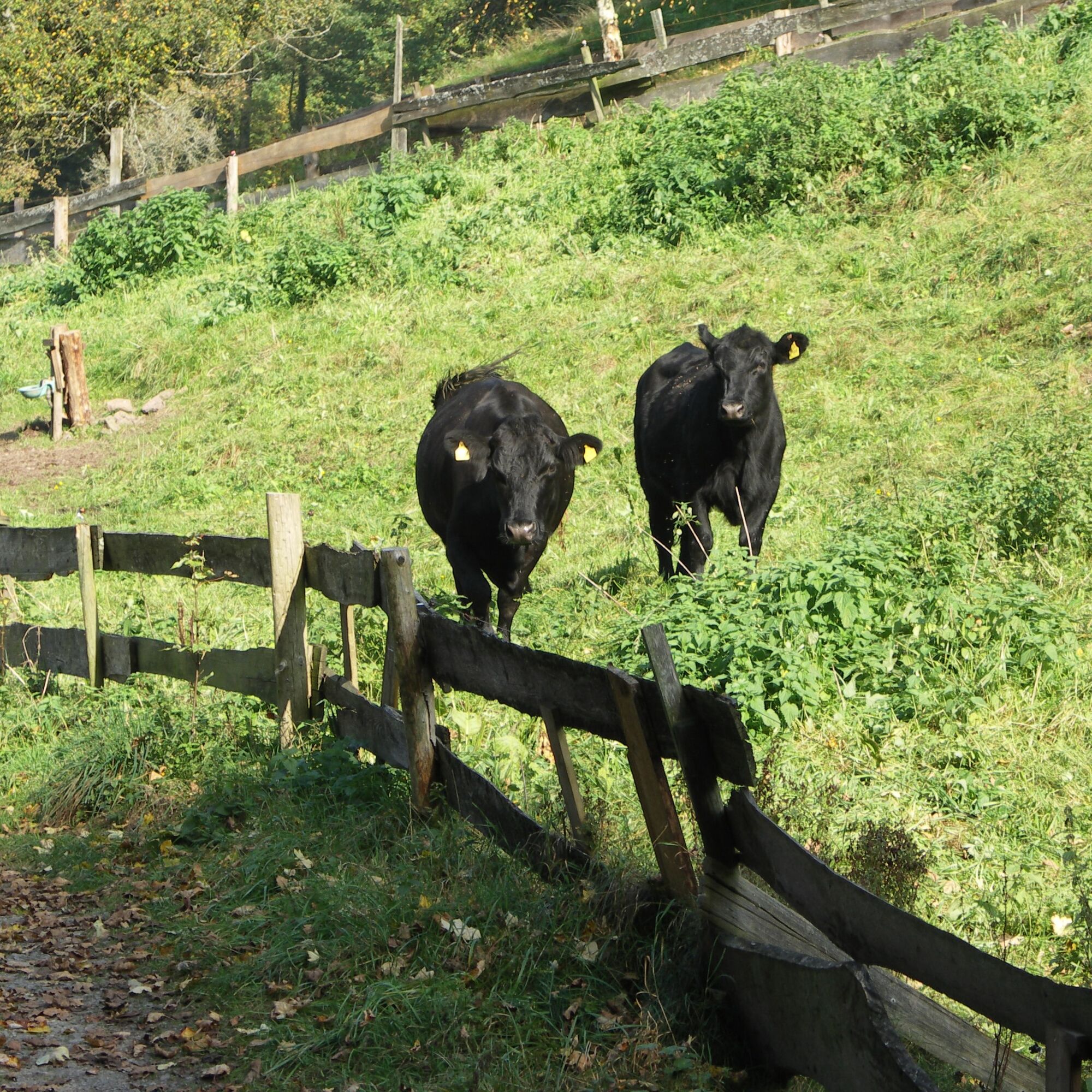
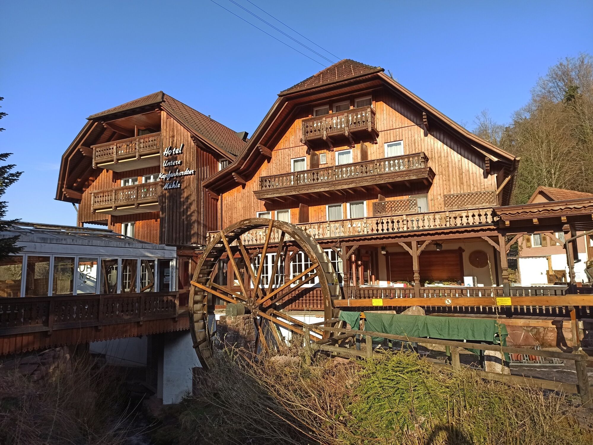
The bike route starts at the fire station parking lot in Schömberg and initially leads towards Oberlengenhardt. Not far after leaving the village, we make a detour to the "Himmelsglück" observation tower. From the top platform at 50 meters, there is a 360° panoramic view over the tops of firs, spruces, and pines. In good weather, you can even see as far as Hohenzollern - breathtaking! Through Oberlengenhardt and the fragrant forest with its therapeutic climate air, we soon reach Bieselsberg and then the Kapfenhardter Valley with its historic mills. Sometimes we ride directly next to the Eulenbach, sometimes a bit further away up the valley – here, in the midst of pure nature, the world is still in order. Past the ski lift, we ride into the center of Schömberg, where cafés, bakeries, and specialty shops exude an idyllic small-town charm. At the end of the route, we reach the parking lot again – if you like, you can take another stroll through the spa park!
The cycling route follows the signposted cycle paths of the Calw district. Along the way, we follow the green-white cycle signage.
Bicycle helmet, drink, map material, repair kit
Schömberg can be reached both from the Nagold Valley and from the Enz Valley via the L343.
Line 743: Hourly from Pforzheim to Schömberg (stop Rathaus)
Line 820: Every 2 hours from Calw to Schömberg
Line 820: Hourly from Bad Liebenzell to Schömberg
Attention! No guarantee of bicycle transport.
Signposted parking spaces at the fire station/Schömberg
1
The Lower Kapfenhardter Mill offers, besides the rustic restaurant, also a mill shop. Here you can find flours, muesli, pasta, and plenty of delicacies!
Popularne wycieczki w okolicy
- 4,7
Hiking through the Monbach Gorge in search of the kingfisher
średniWędrówka 10,5 km - 5,0
Wild romantic Monbach Valley
światłoWędrówka 6,25 km - 4,7
Eyach round
średniWędrówka 7,84 km - 4,7
Through the wild romantic Schweinbachtal to the Bruderhöhle cave
średniWędrówka 13,8 km - 4,5
Wolfsschlucht and Fox Gorge
średniWędrówka 9,74 km - 5,0
Der Teinacher (Premiumweg & Genießerpfad)
średniWędrówka 12,0 km - 3,0
Dobel High-Altitude Route
średniWędrówka 11,8 km - 5,0
Water, Woods and Meadowtrail / Zavelstein > Calw (Premium trail & Genussweg)
ciężkiWędrówka 14,4 km - 5,0
From Bieselsberg into the wild Monbach valley - dream route on small paths
ciężkiWędrówka 18,0 km - 5,0
AugenBlick route Bad Teinach-Zavelstein Zettelberg
ciężkiWędrówka 15,5 km

Wędrówki i tropienie


Nie przegap ofert i inspiracji na następne wakacje
Twój adres e-mail została dodana do listy mailingowej.