







Boot journey "Culinary Delight"
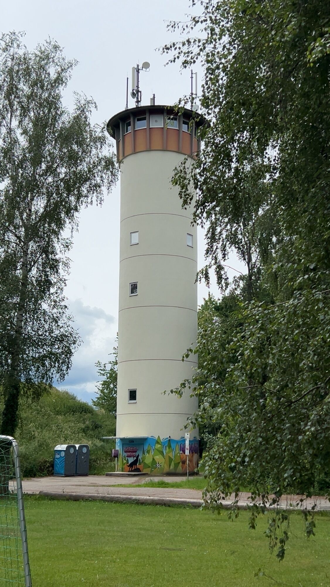
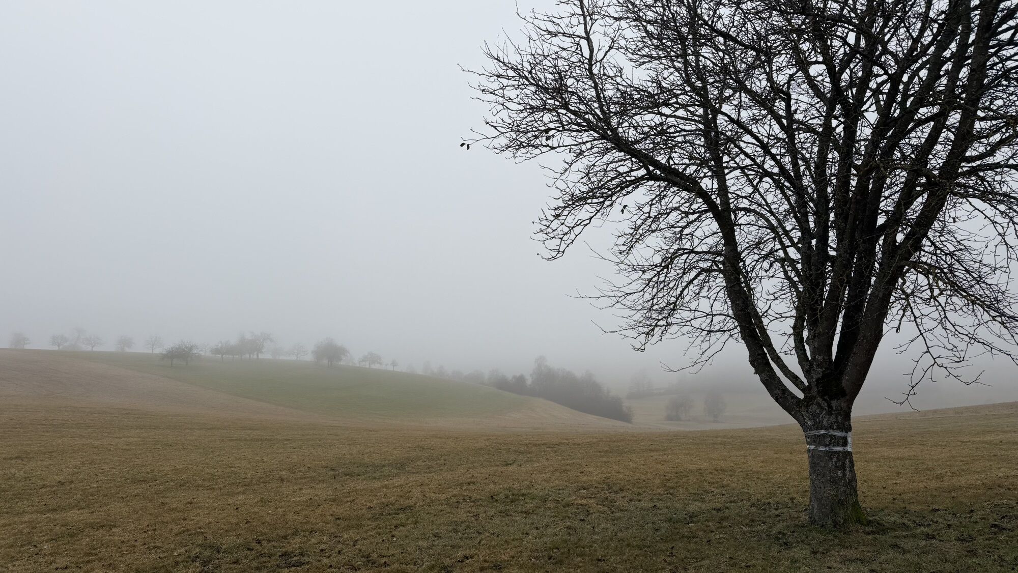
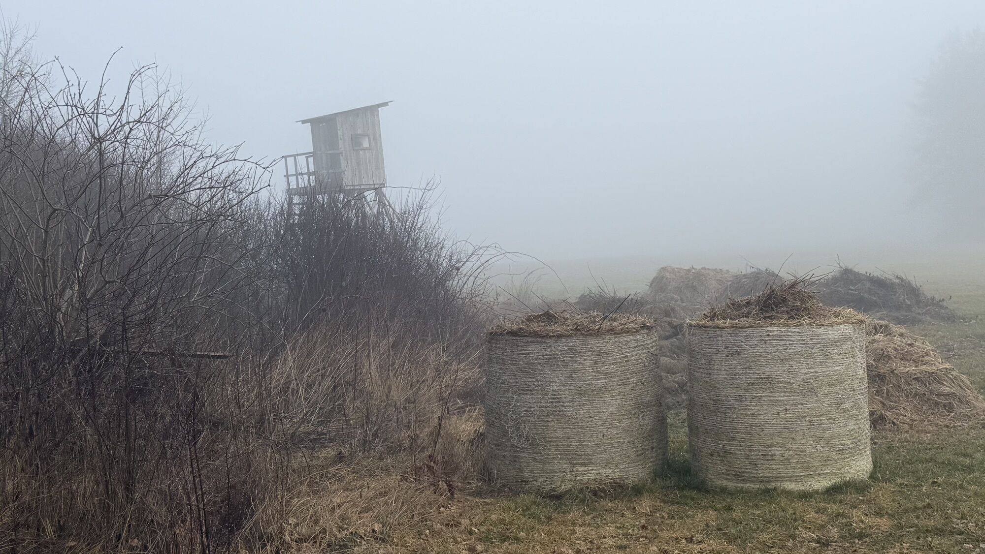
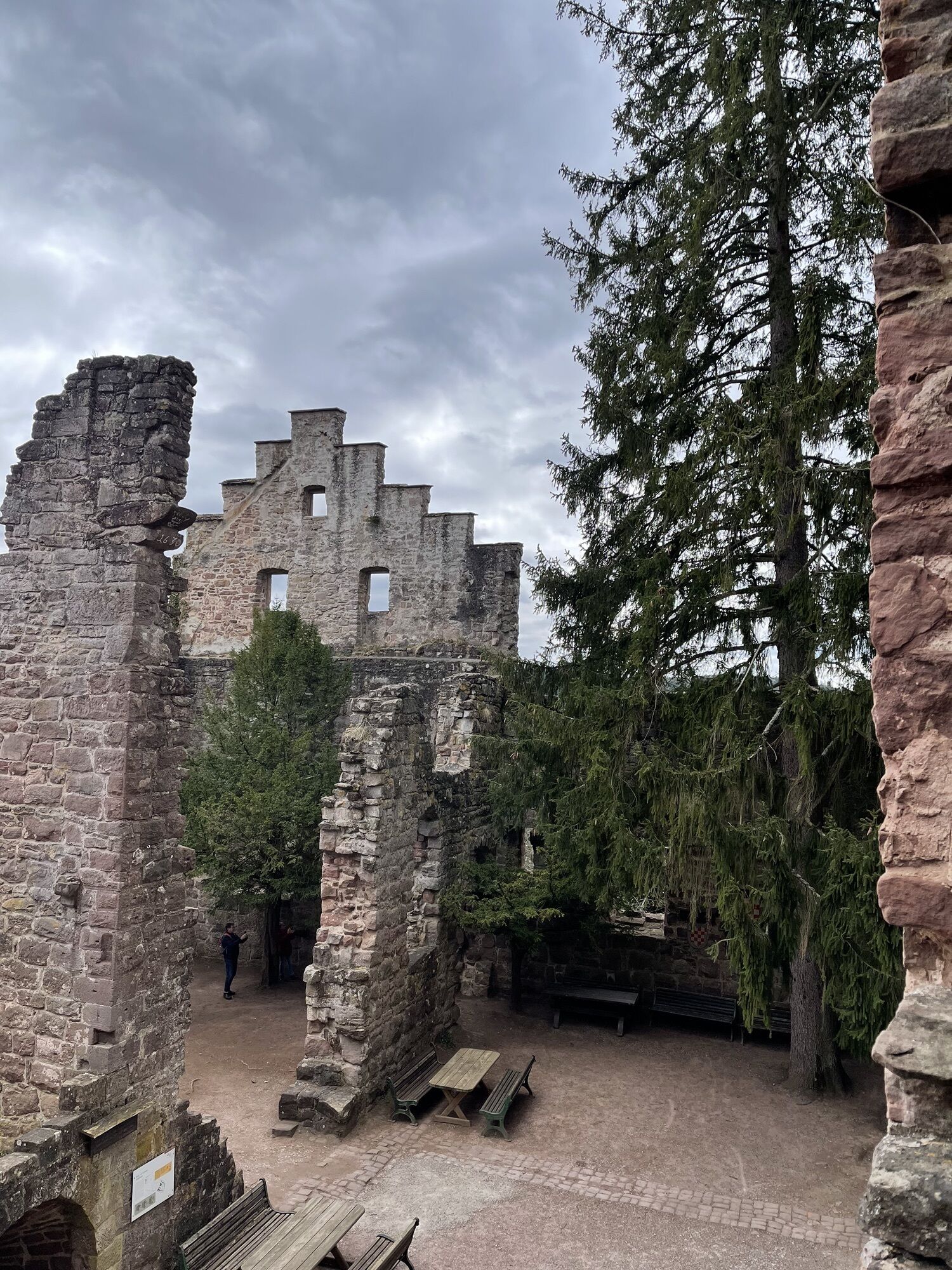
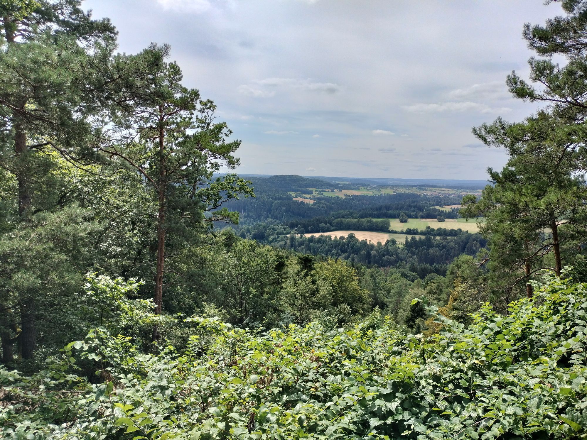
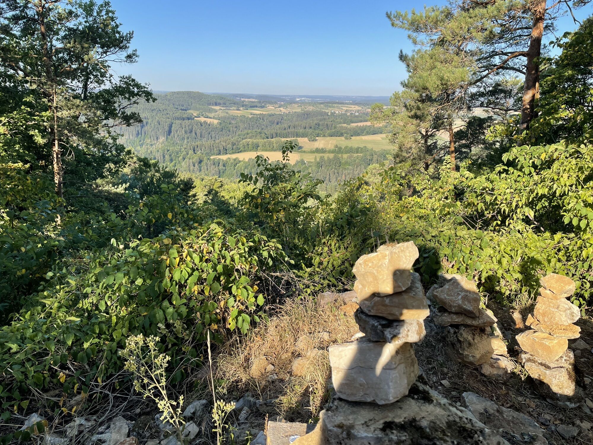
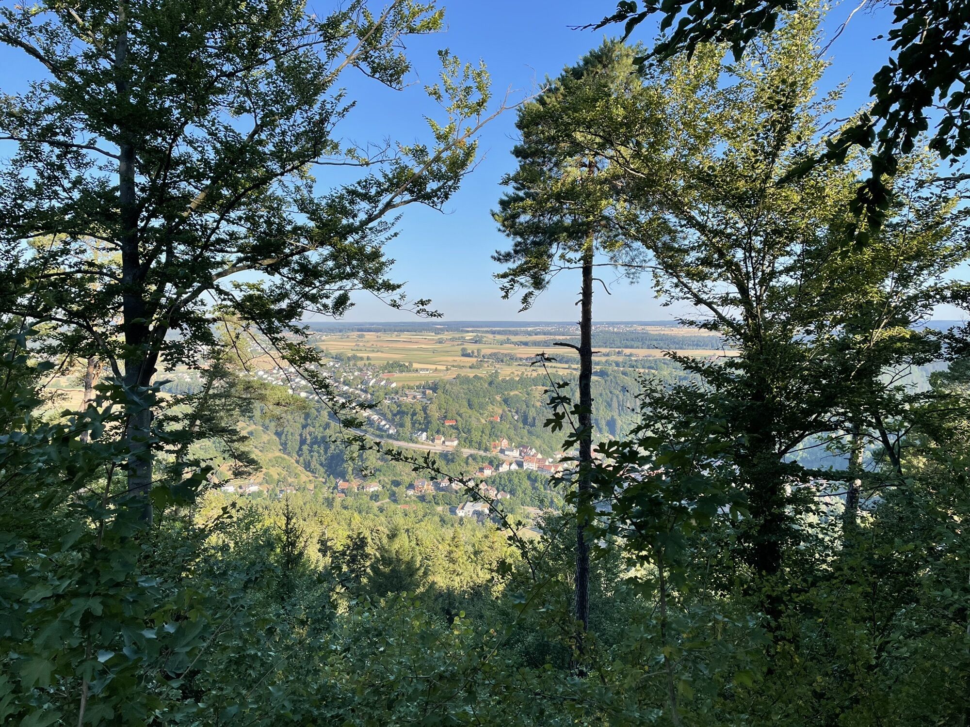
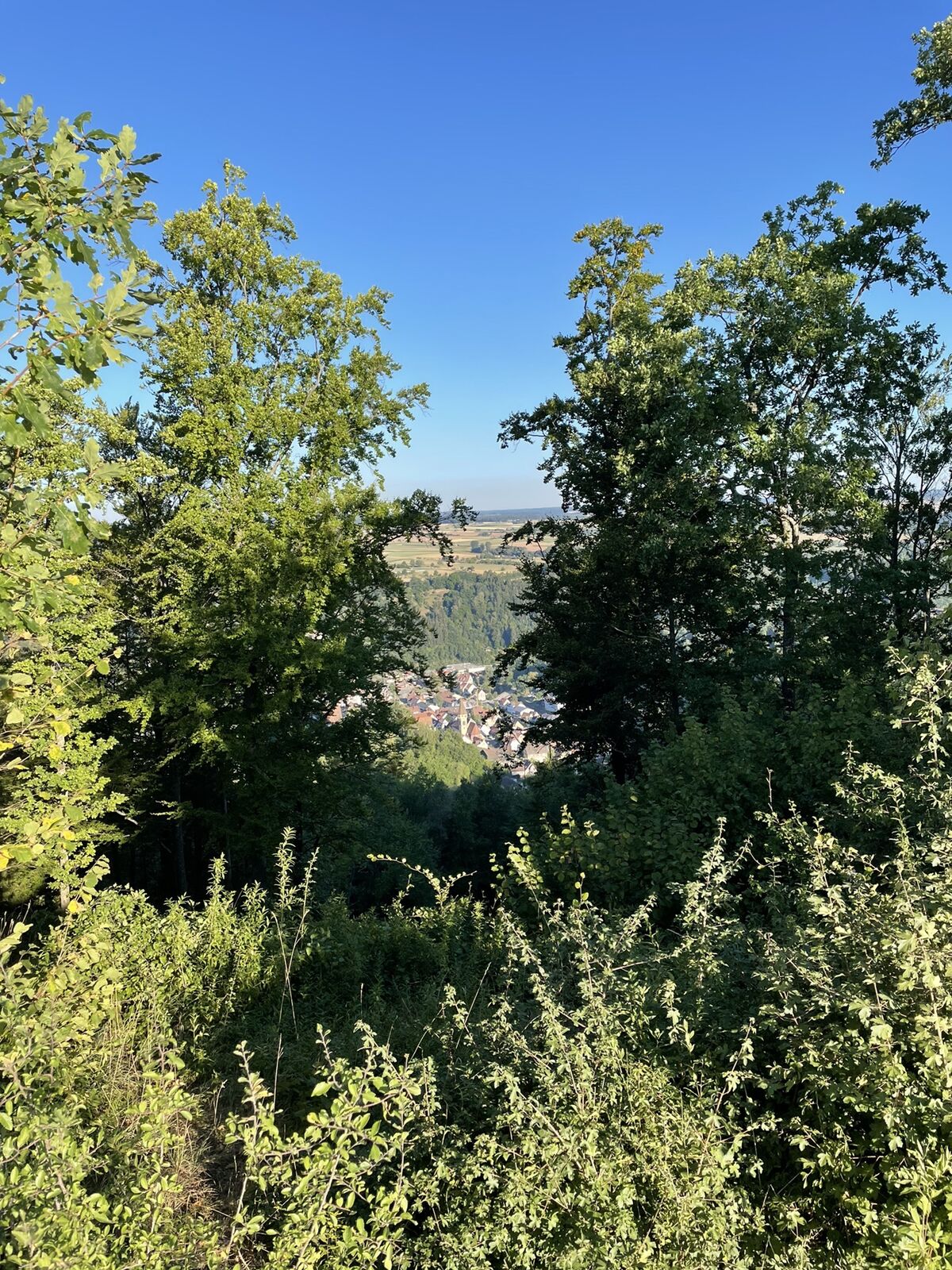
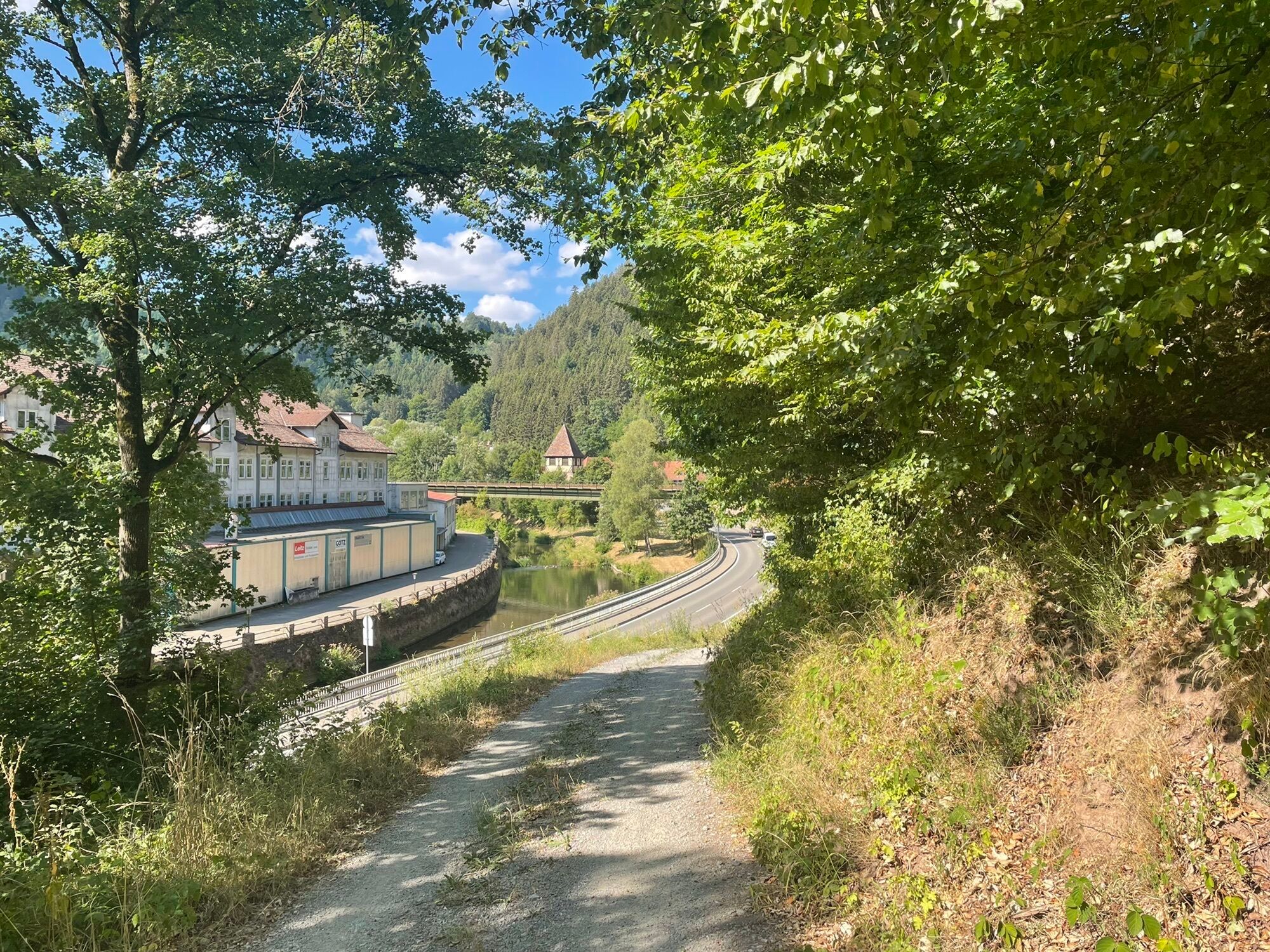
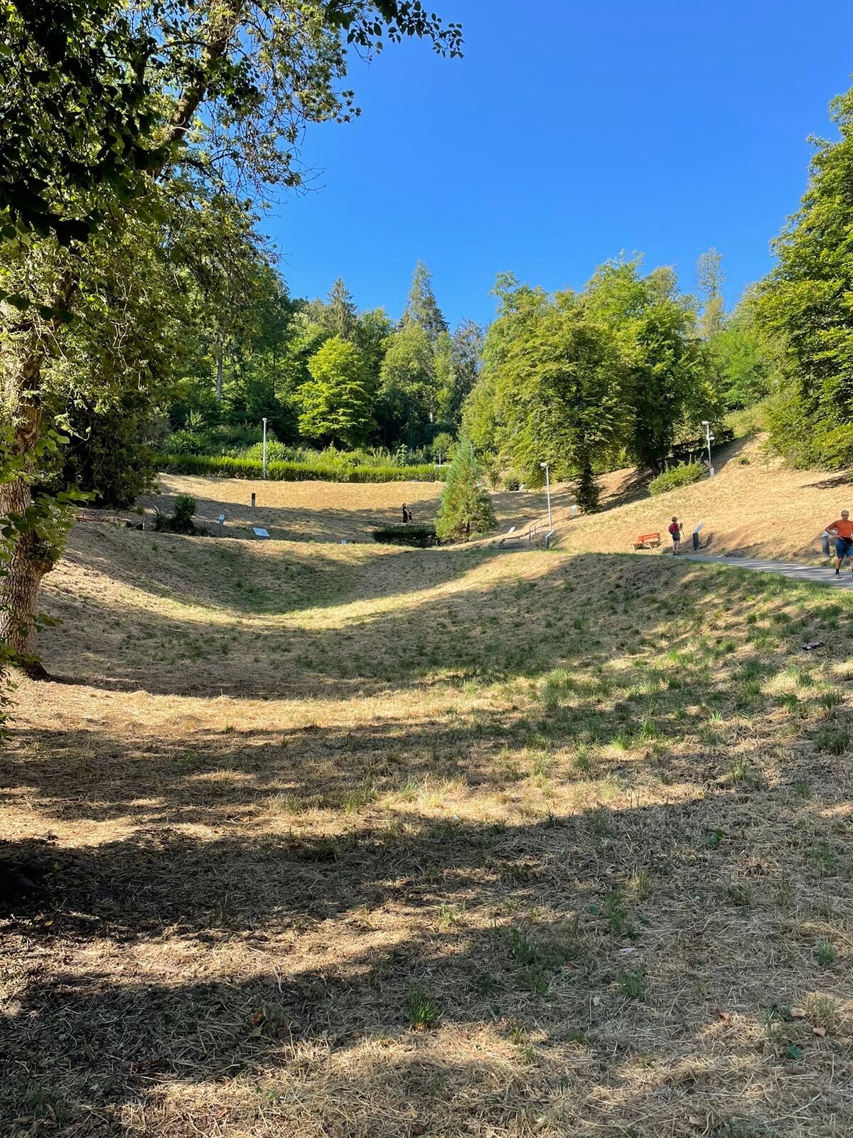
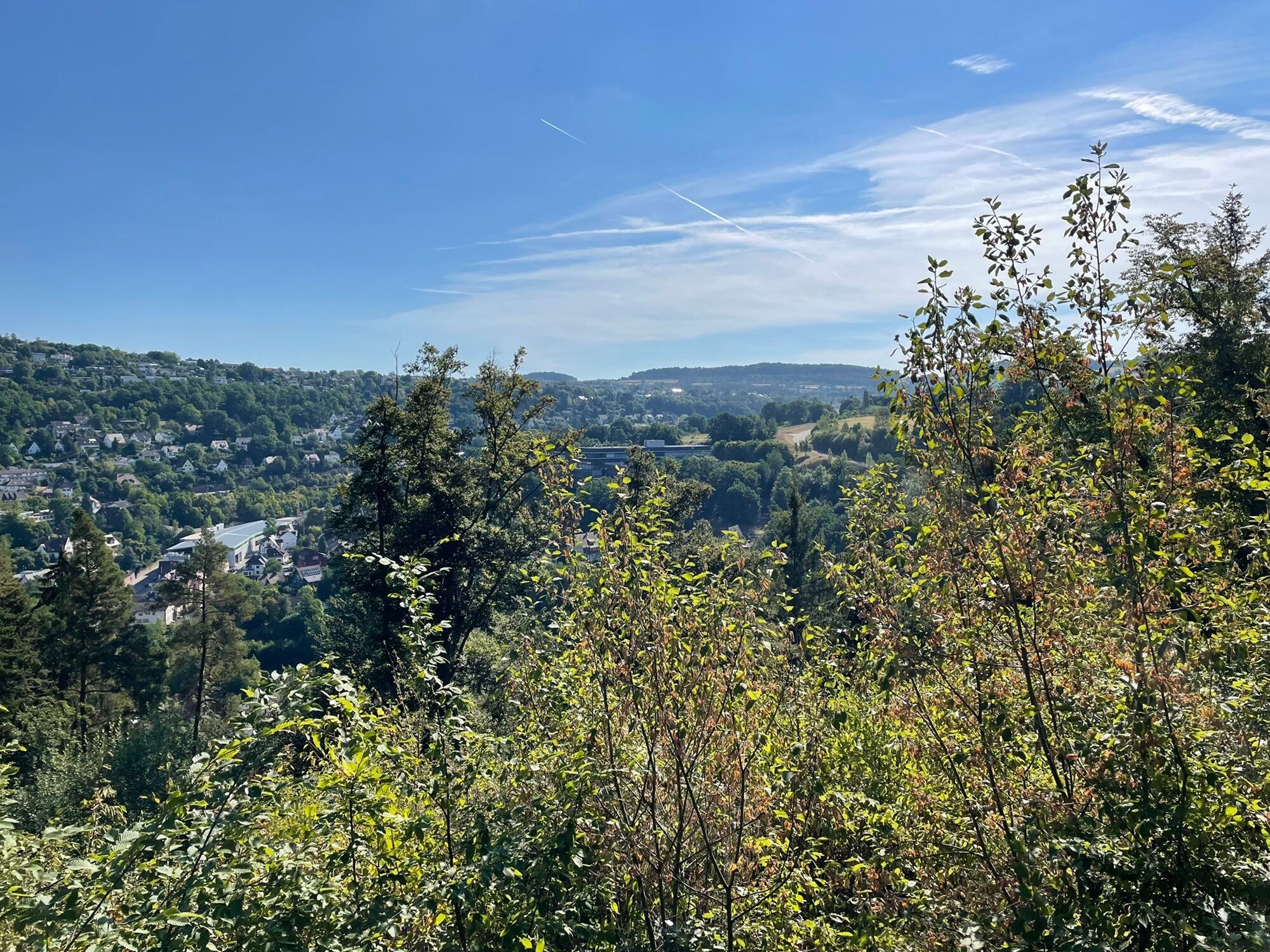
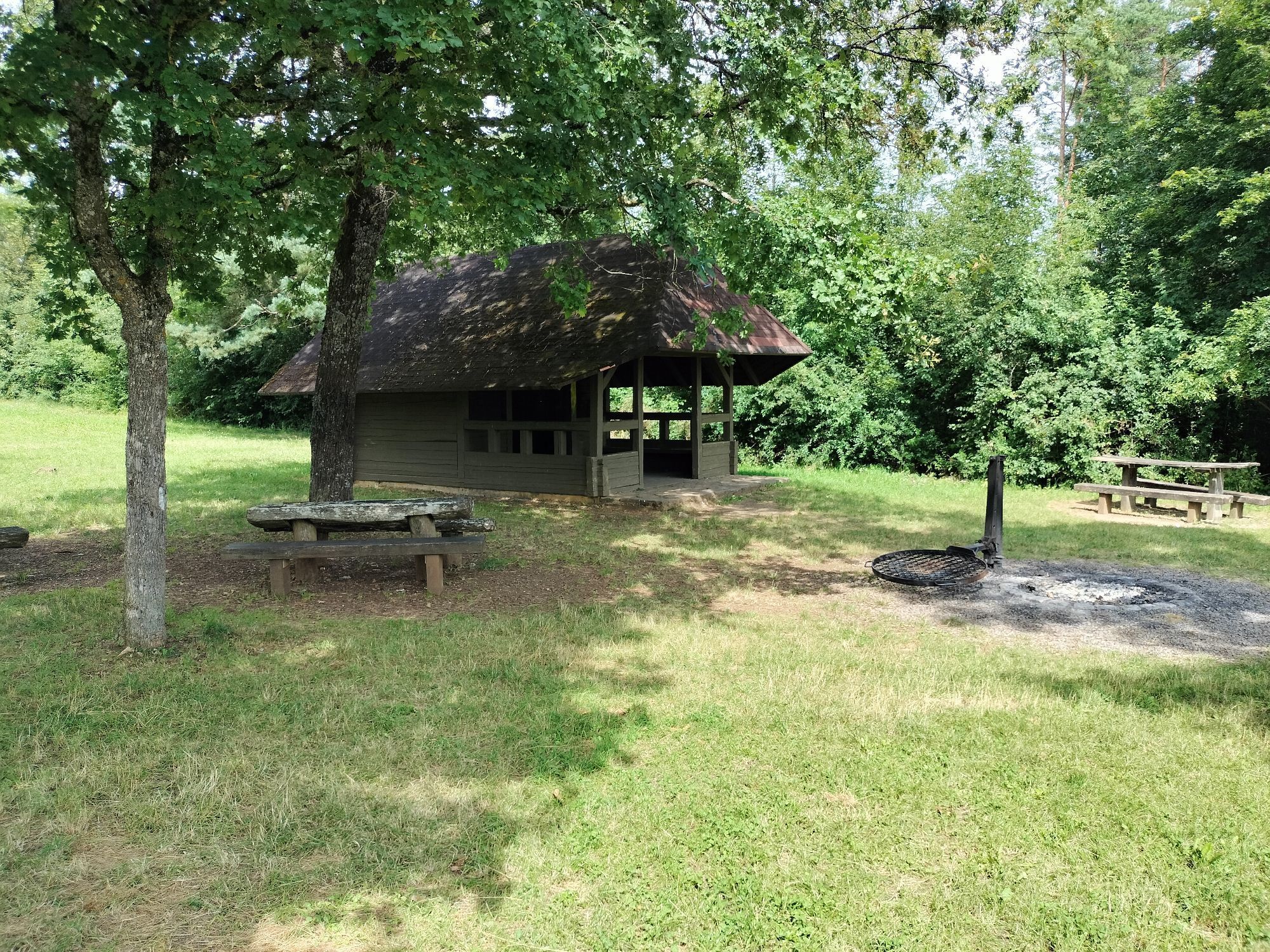
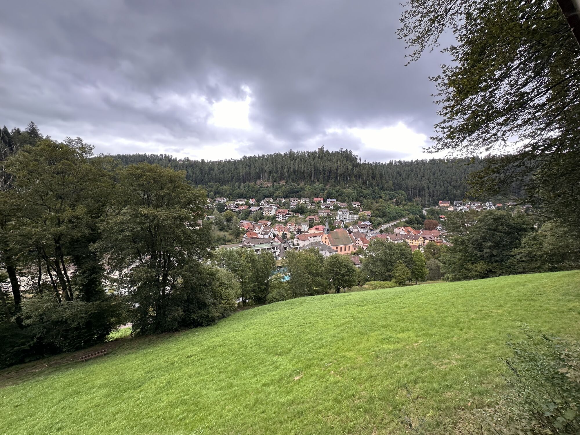
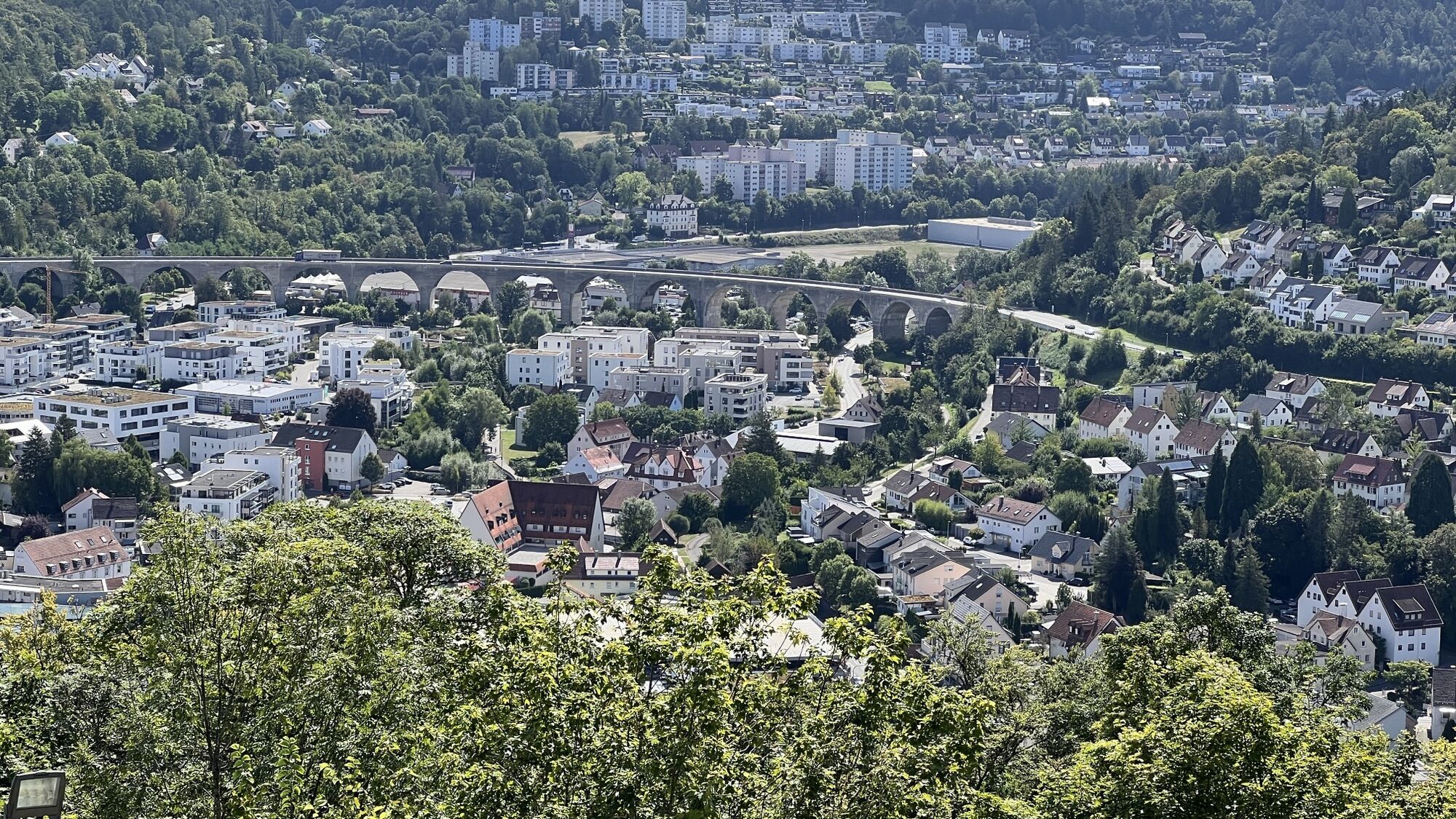
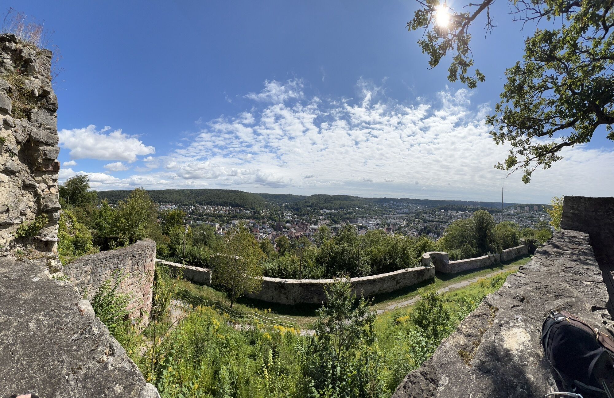
In 2018 this route was organized as a 24h hike in cooperation with the Black Forest Association Calw. Now we have divided the hike into three eventful day routes, giving hikers the opportunity to experience...
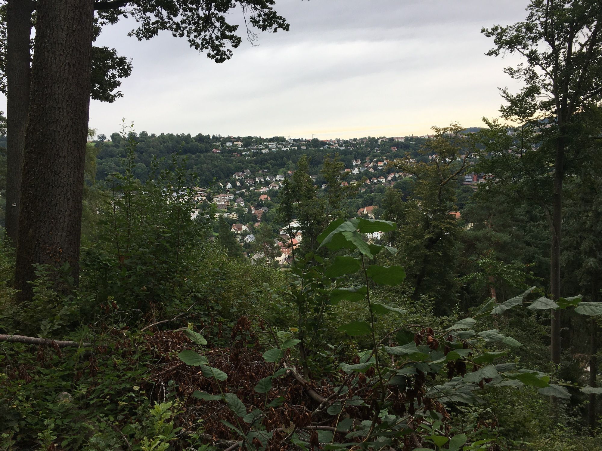
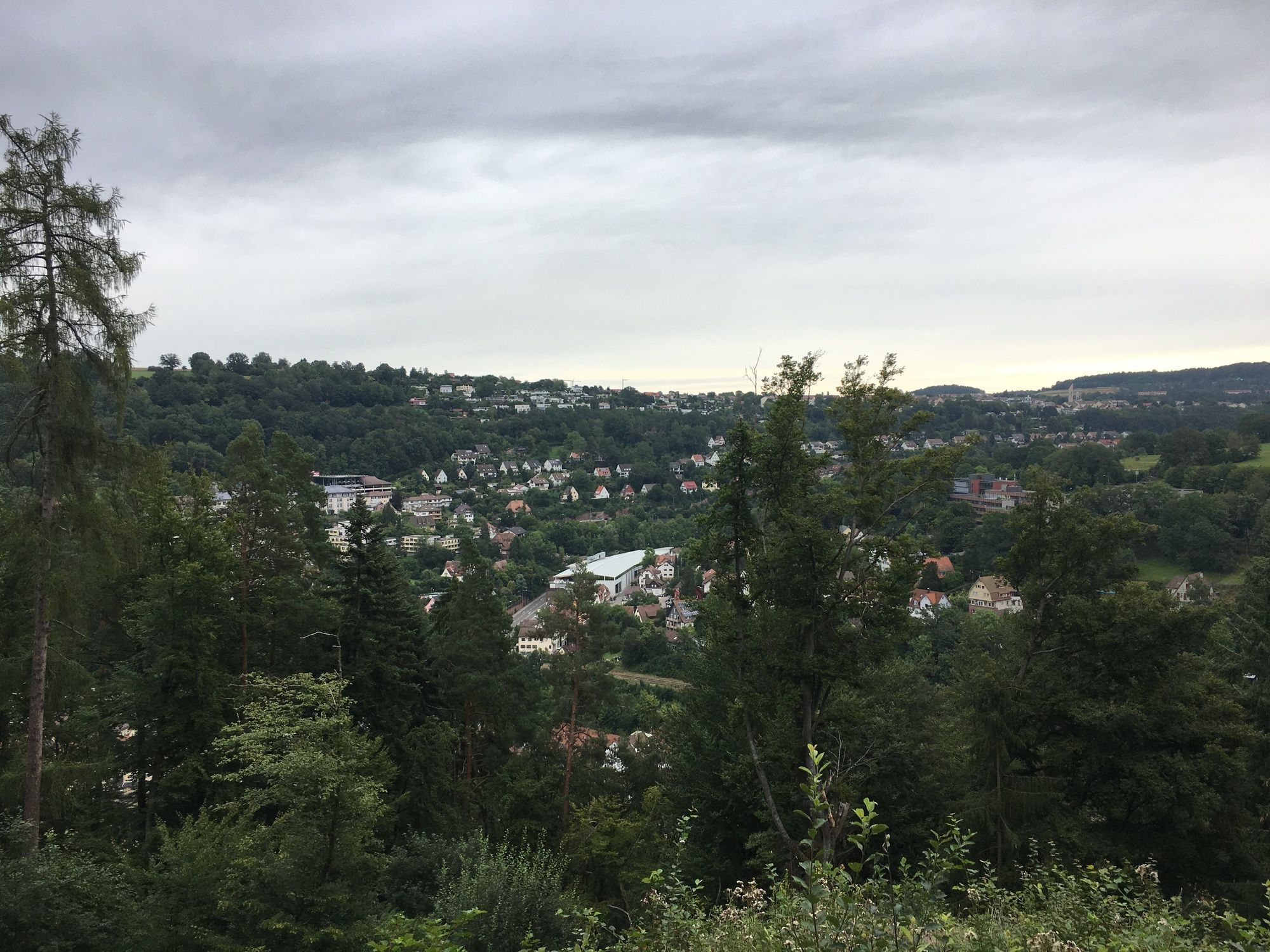
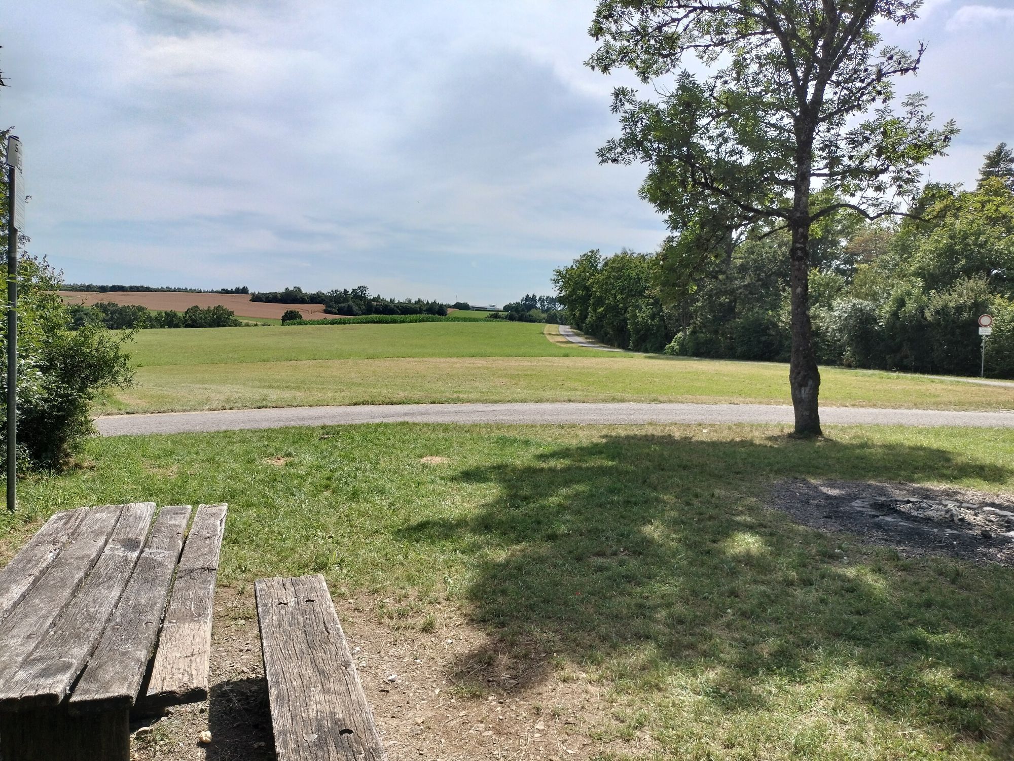
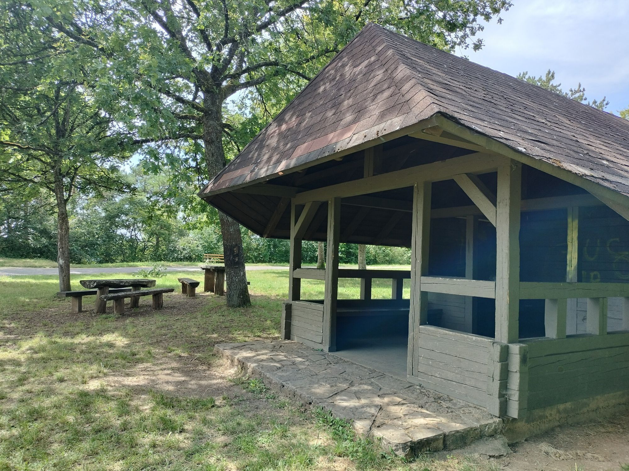
In 2018 this route was organized as a 24h hike in cooperation with the Black Forest Association Calw. Now we have divided the hike into three eventful day routes, giving hikers the opportunity to experience the diverse landscape and the change of natural areas from Heckengäu to the Black Forest.
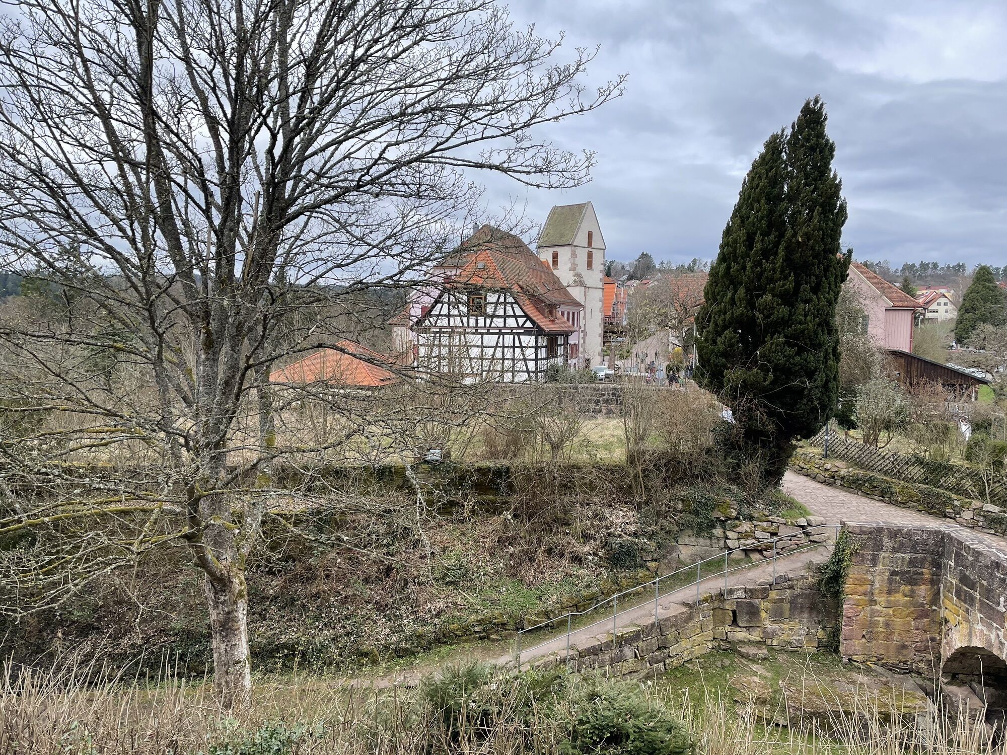
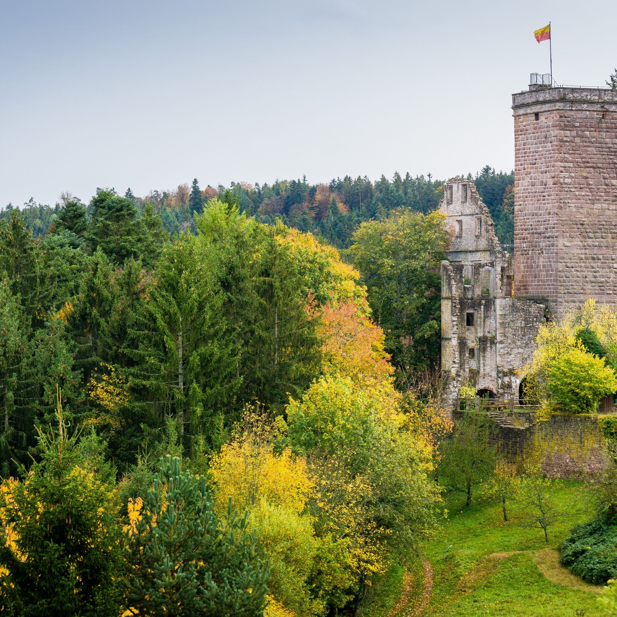
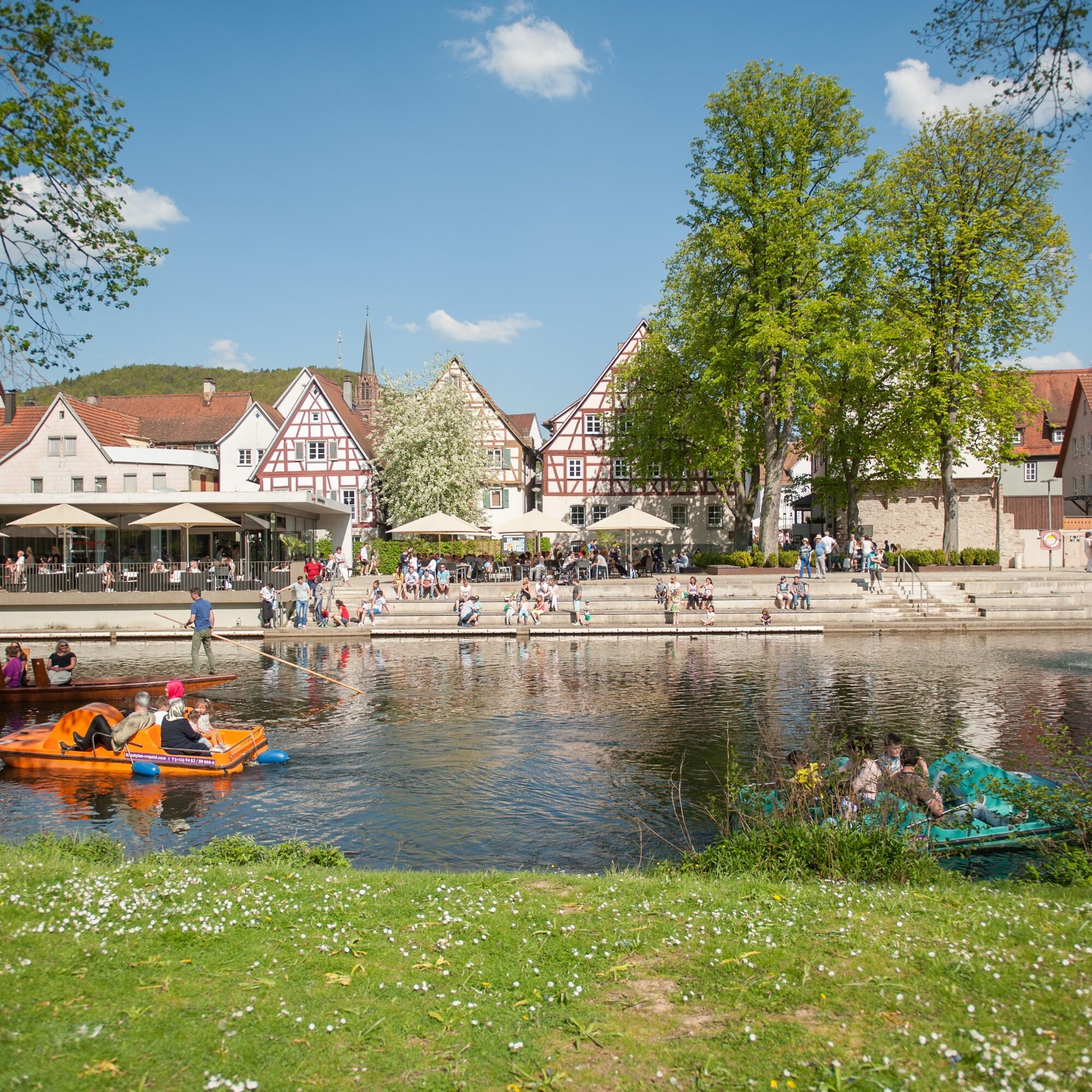
The route starts in Calw heading towards the Gültlinger See and ends in the shepherd town Wildberg. Following the GäuRandweg, hikers reach the picturesque town of Nagold on the eponymous river. Here you can discover the castle ruins among other things before reaching the Monhardter Wasserstube at Ebhausen, a historic rafting facility. Accommodation is in historic Berneck with its unmistakable townscape. The local castle with its associated shield wall is a great eye-catcher! The third stage then leads on the long-distance trail Ostweg over the heights to Bad Teinach and past Zavelstein Castle back to Calw.
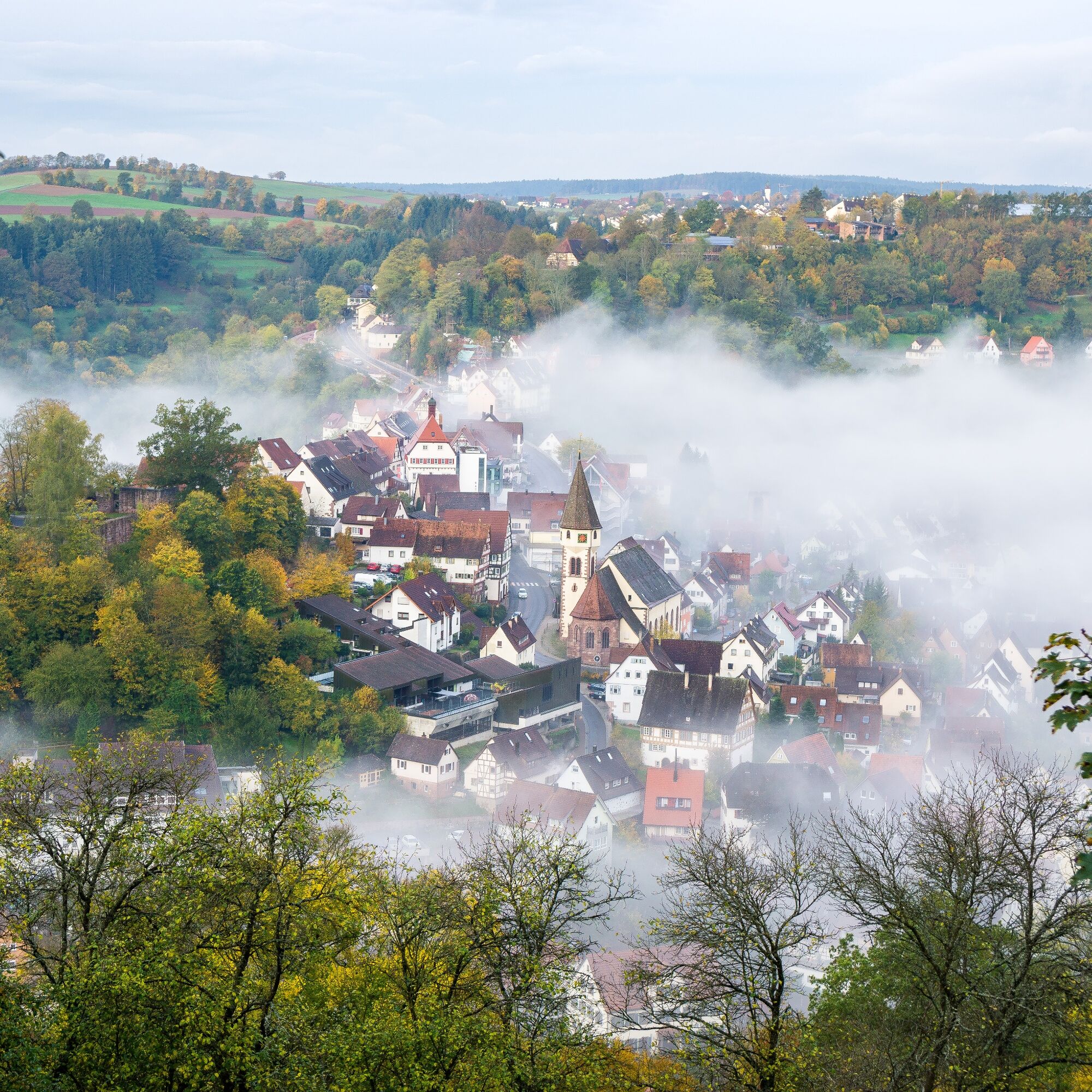
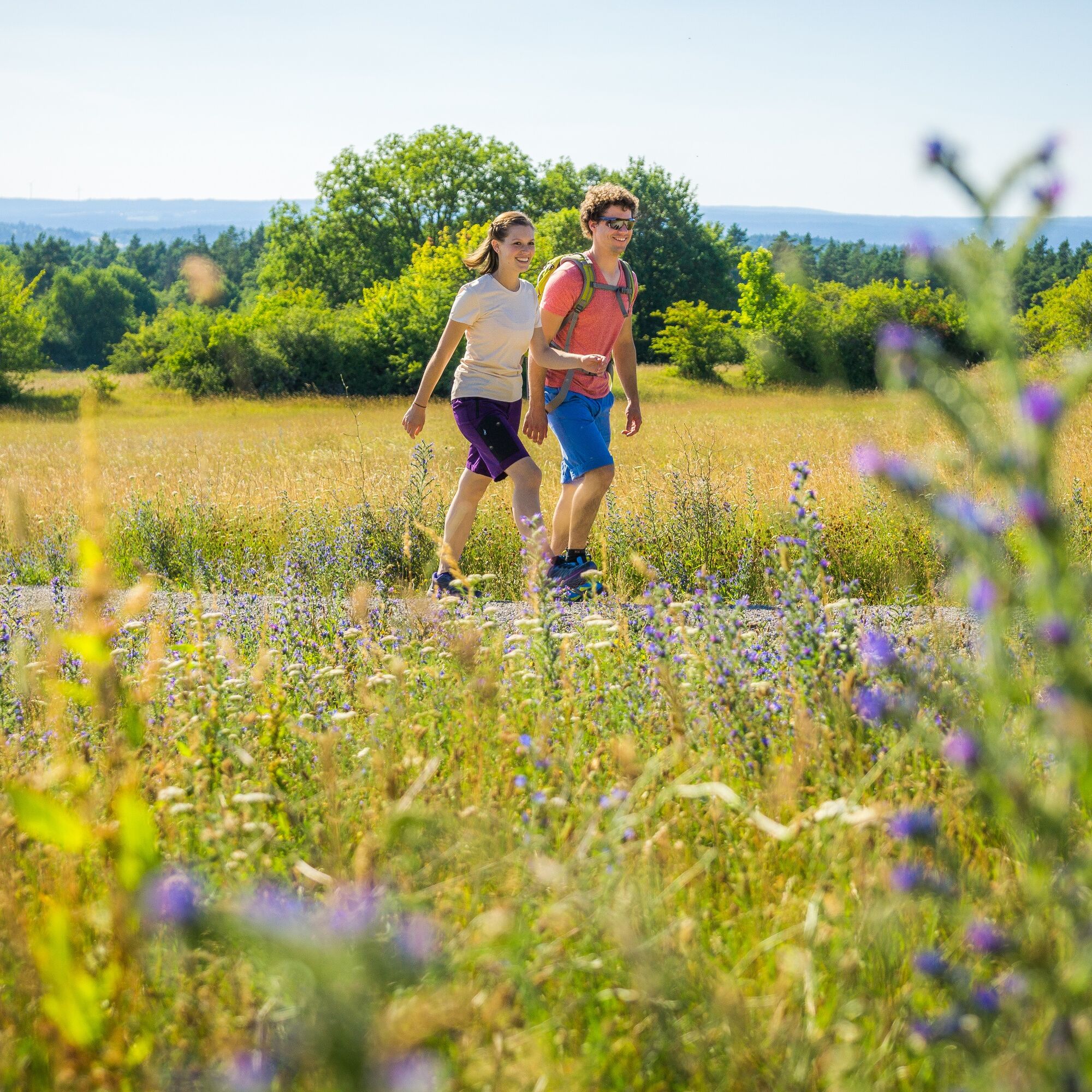
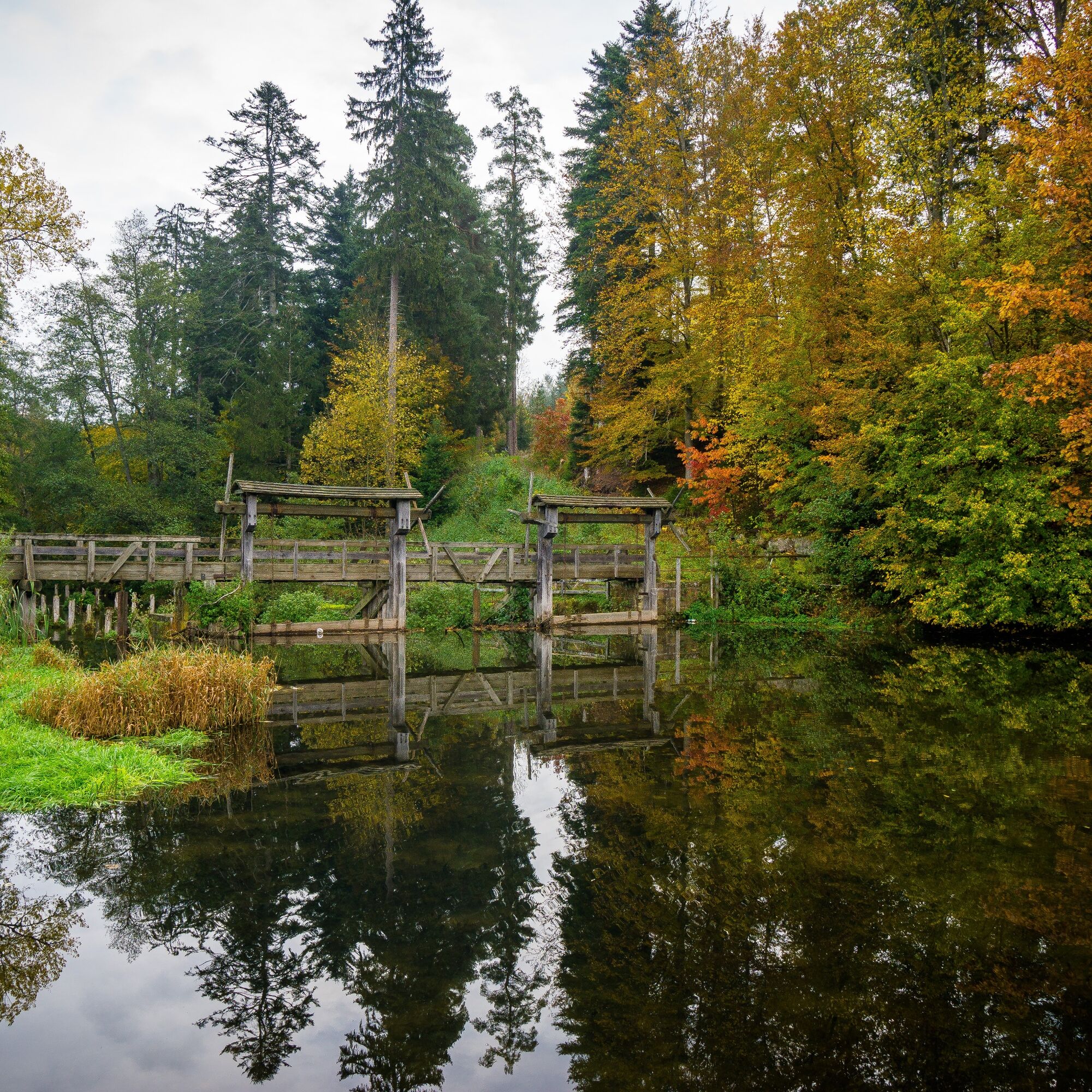
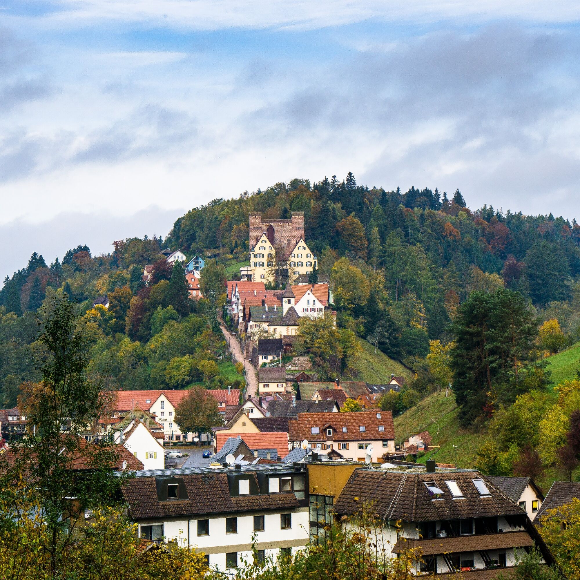

The route starts at the train station in Calw, going to Wildberg, then to Berneck near Altensteig, and back to the starting point. A list of signpost locations can be found in the individual stages.
Good footwear, weather-appropriate clothing, sufficient drinking water, and some provisions are recommended.
Arrival by car
- Motorway A8 from Karlsruhe: Exit Pforzheim-West (approx. 25 km); continue via federal road 463 towards Calw
- Motorway A8 from Ulm/Stuttgart: Exit Leonberg (approx. 30 km), continue via federal road 295 towards Weil der Stadt to Calw
- Motorway A81 from the south/ Bodensee: Exit Gärtringen-Stadtmitte (approx. 20 km), continue via K 1075; near Deckenpfronn turn left onto K 1022. At the roundabout take the first exit and continue on B 296 towards Calw.
- Plan your car trip at http://www.map24.de
Arrival by bus:
Greater Stuttgart area bus line 670 DB Bahn Regiobus / Volz; (Calw-Weil der Stadt) (connection to S6)
Böblingen / Sindelfingen area: bus line 763 DB Bahn Regiobus; Calw-Böblingen (connection to S1)
Herrenberg area: bus line 770 (connection to S1)
Bad Herrenalb/Bad Wildbad: bus line X63
www.efa-bw.de
Arrival by train:
Route Pforzheim - Calw - Horb - Tübingen (Kulturbahn)
- Long-distance train connections (EC, IC, ICE) are best reached in Karlsruhe with connecting trains via Pforzheim (Kulturbahn).
- If arriving via Stuttgart, we recommend continuing with the S-Bahn S6 Stuttgart - Weil der Stadt with transfer to bus line 670 to Calw.
www.bahn.de
After arriving at the central bus station/train station, take the underpass towards Marktbrücke and walk straight ahead towards the marketplace.
Parking garages and parking lots in Calw
Calwer Markt parking garage: 234 spaces, open continuously
ZOB parking garage: 287 spaces, open continuously
Kaufland parking garage: 535 spaces, open continuously
Haggasse parking garage: 119 spaces, open continuously
Other parking garages/parking lots
Hospital (85), underground garage gymnasium Badstraße (48), Bahnhofstraße (27), old train station (155)
www.calw.de/Parken
Tourism GmbH Northern Black Forest
Sonnenweg 5
75378 Bad Liebenzell
Tel: 07052-8169770
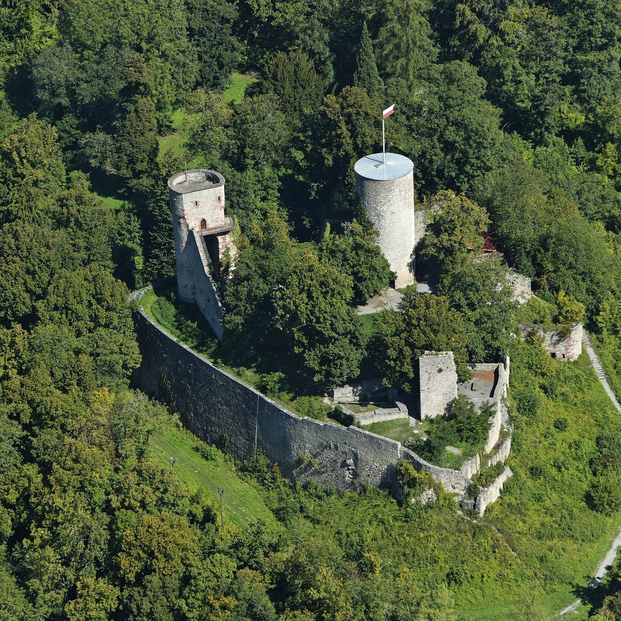
Take your time on the way and discover the historic sites of Hohennagold, the castle in Berneck, and Zavelstein including the observation tower.
Uzyskaj wgląd
Zawsze na żywo z ponad 9 500 kamer internetowych. bergfex Jako użytkownik Pro, możesz teraz zobaczyć odpowiednie kamery internetowe dla wielu wycieczek w aplikacji wycieczki od. Pozwala to na bezpośredni podgląd aktualnych warunków.
Popularne wycieczki w okolicy
-
4,0
Wolfsschlucht and Fox Gorge
średniWędrówka 9,74 km -
5,0
Der Teinacher (Premiumweg & Genießerpfad)
średniWędrówka 12,0 km -
4,7
Through the wild romantic Schweinbachtal to the Bruderhöhle cave
średniWędrówka 13,8 km -
5,0
Water, Woods and Meadowtrail / Zavelstein > Calw (Premium trail & Genussweg)
ciężkiWędrówka 14,4 km -
5,0
AugenBlick route Bad Teinach-Zavelstein Zettelberg
ciężkiWędrówka 15,5 km -
5,0
GeoTour Wildberg through the picturesque Lützenschlucht
ciężkiWędrówka 2,80 km -
4,0
Circular route Hirsau - Oberreichenbach - Schweinbachtal - Hirsau
średniWędrówka 10,2 km -
4,5
Waldeck ruins and the largest water wheel in Europe
średniWędrówka 15,4 km -
5,0
From Altburg over scenic heights to Zavelstein
średniWędrówka 10,6 km -
4,0
Naturpark-AugenBlick-Runde Calw-Holzbronn
średniWędrówka 13,3 km
Wędrówki i tropienie


Nie przegap ofert i inspiracji na następne wakacje
Twój adres e-mail została dodana do listy mailingowej.





