





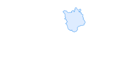
From the Rhine Falls to the wine country

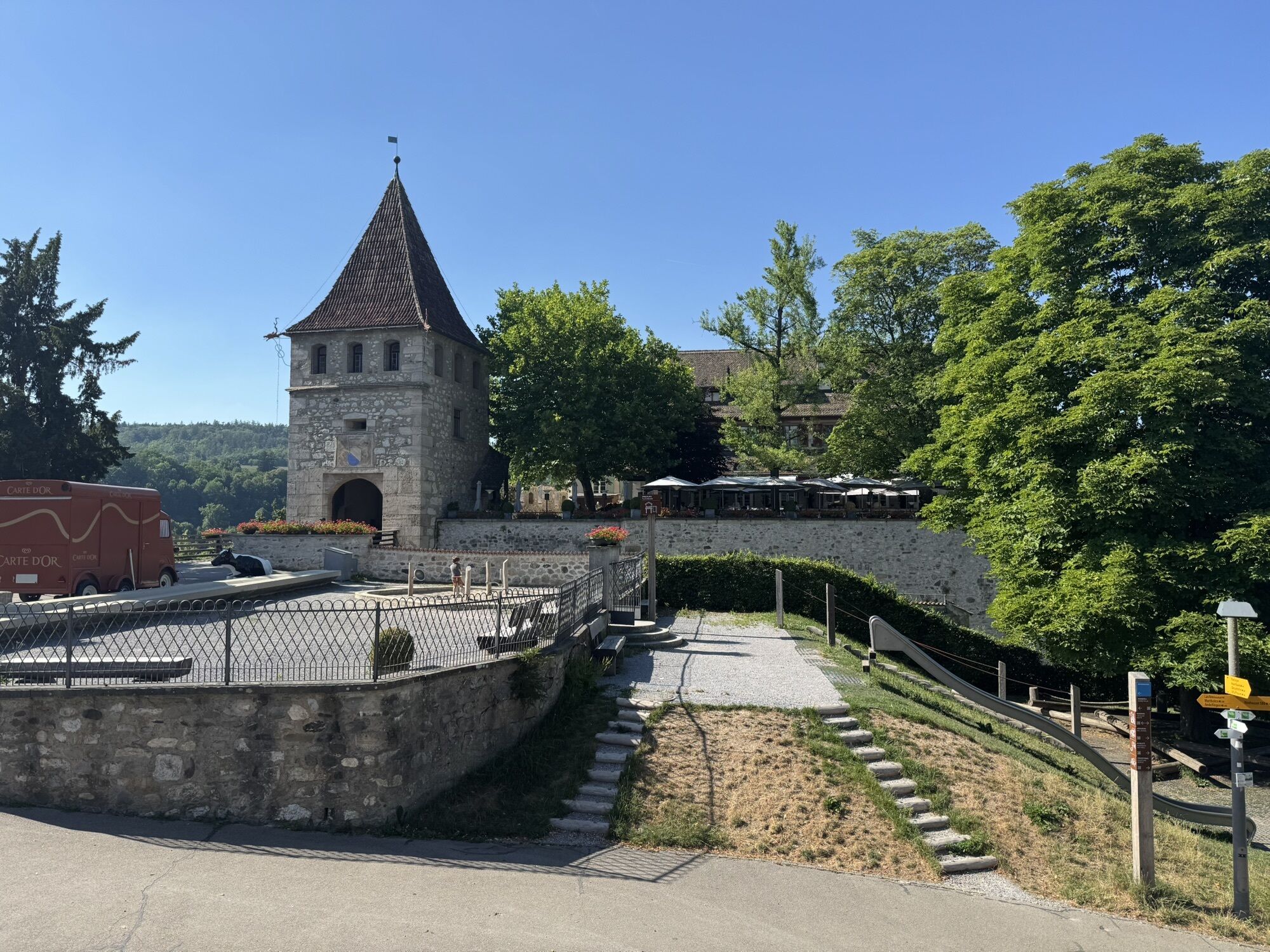
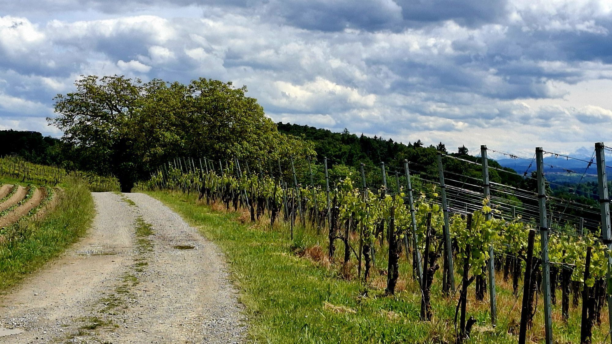
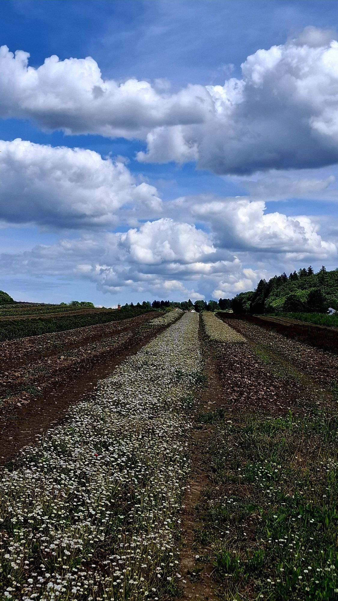
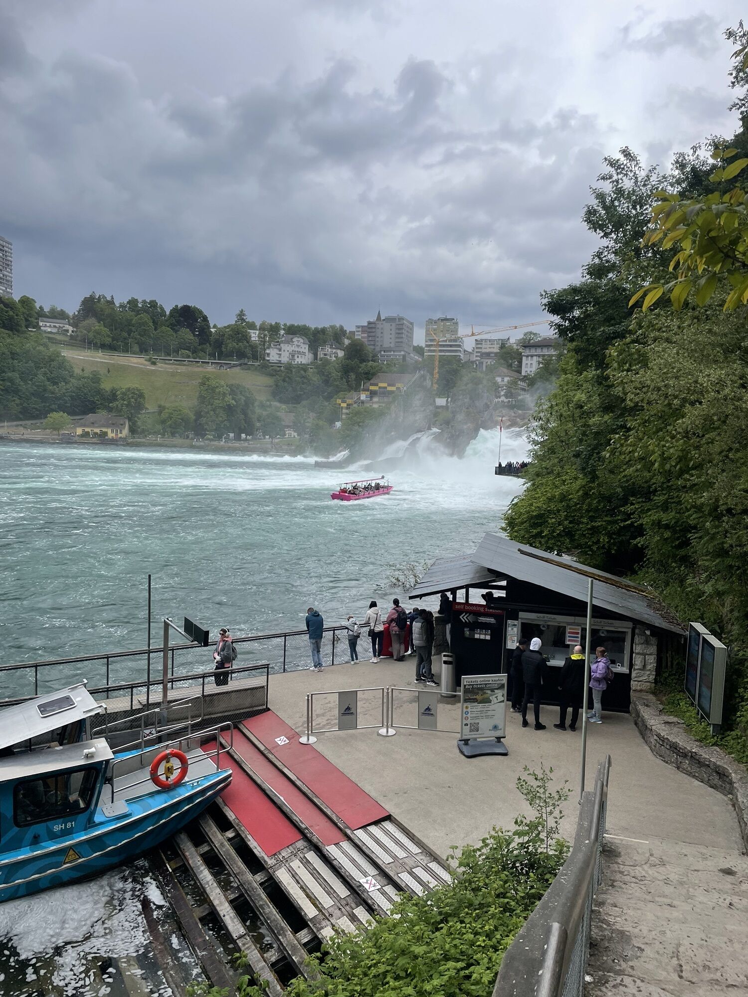
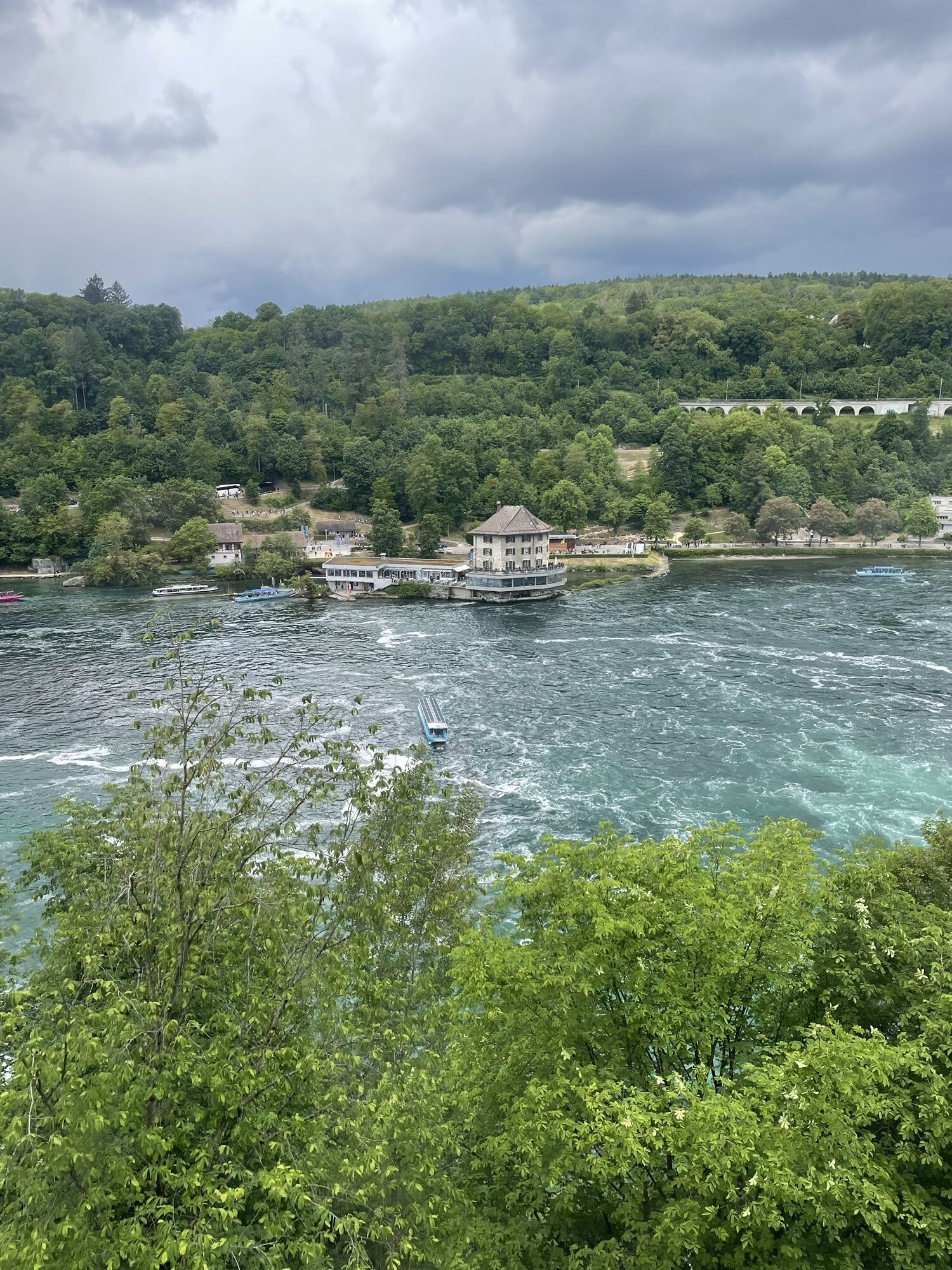
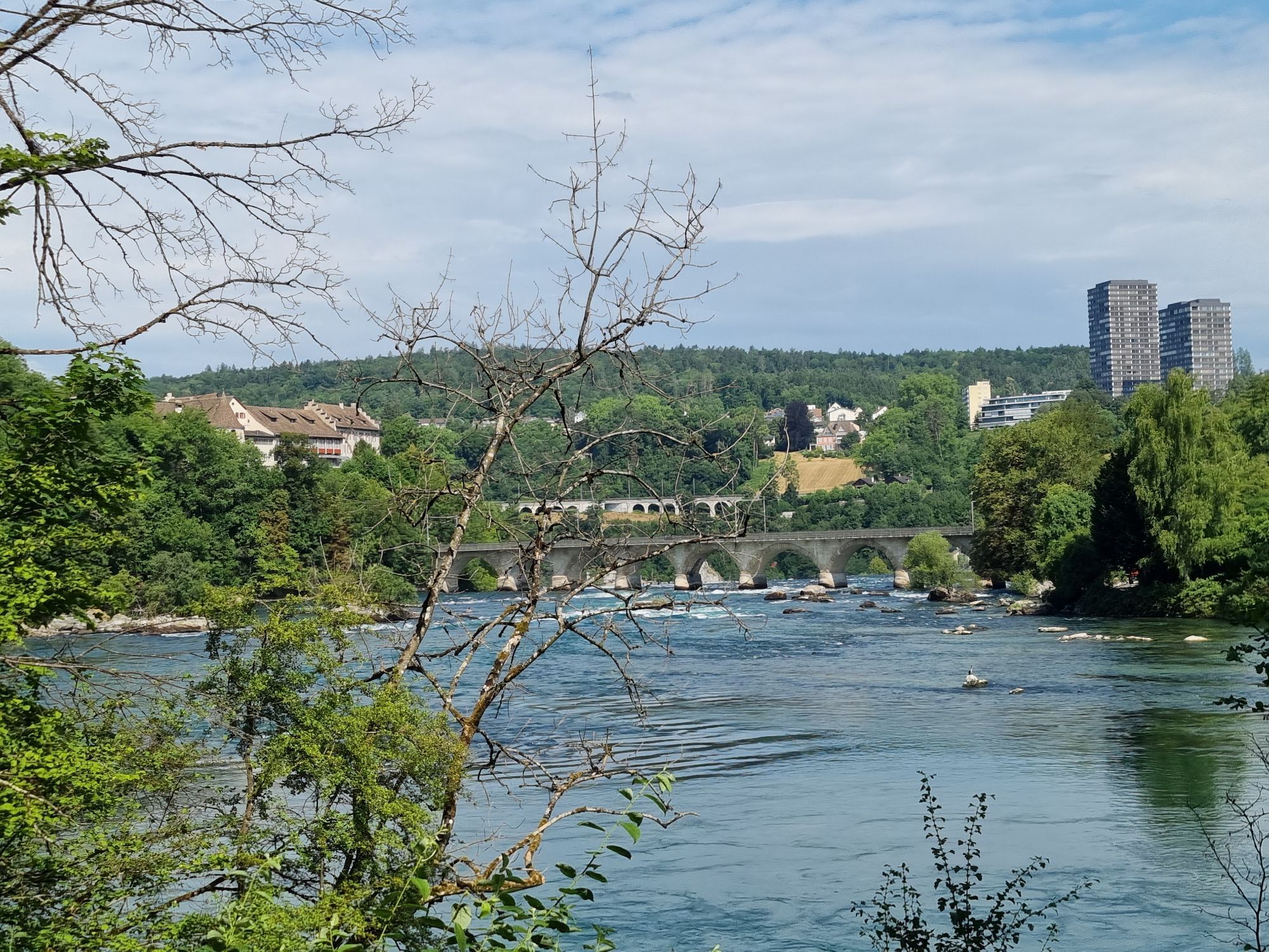
You start your route at the roaring Rhine Falls and pass through the charming wine-growing villages Laufen-Uhwiesen and Benken all the way to Rudolfingen. Along the varied path following the Irchel, you...
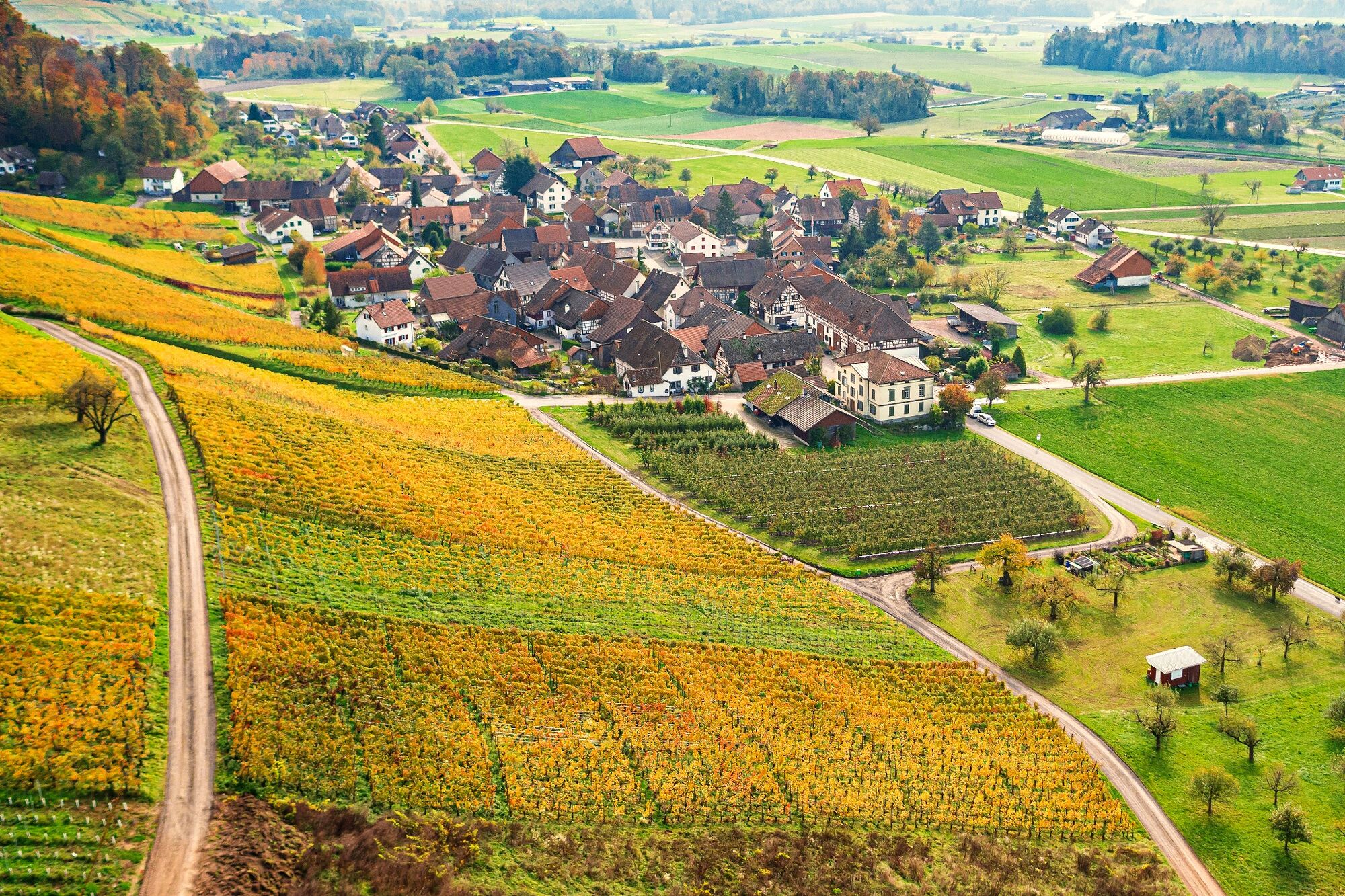
You start your route at the roaring Rhine Falls and pass through the charming wine-growing villages Laufen-Uhwiesen and Benken all the way to Rudolfingen. Along the varied path following the Irchel, you can expect breathtaking views, diverse cultural landscapes, and grazing fallow deer. A detour for a sip of Räuschling or Pinot Noir at one of the wineries along the route is definitely worthwhile.
Wineries along the route
Weingut Besson-Strassen, Laufen-Uhwiesen
Weingut Lindetröpfli, Laufen-Uhwiesen
Weingut Strasser, Benken
Weingut Wylandblick, Benken
Weingut zur Trotte, Rudolfingen
WeinGut Zuber, Rudolfingen
Restaurants along the route
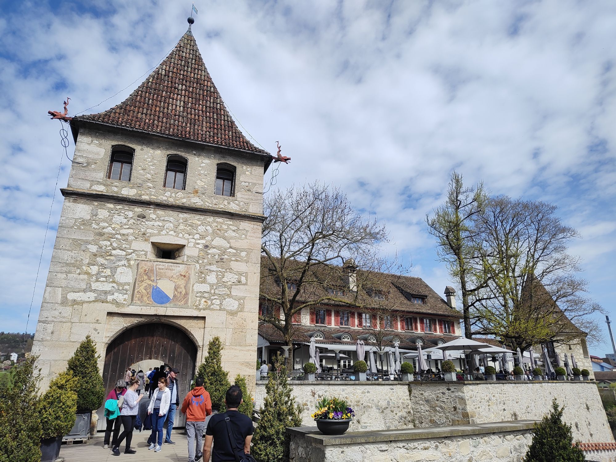
Schloss Laufen am Rheinfall, Dachsen
Restaurant Hirschen Uhwiesen, Laufen-Uhwiesen
Gasthaus zur Guggere, Benken
Hotel Restaurant Baumgarten, Benken
Restaurant Traube, Rudolfingen


From Schaffhausen/Winterthur to the Rhine Falls/Schloss Laufen:
Take the A4 motorway to the Uhwiesen exit, then follow the signs to the Rhine Falls.
From Schaffhausen/Winterthur to Marthalen:
Take the A4 motorway to the Benken exit, then follow the signs to Marthalen or the train station.
You can reach the Schloss Laufen am Rheinfall train station with the S12 and S33 from Winterthur or Schaffhausen. The Rudolfingen Dorf bus stop is accessible by bus from the Marthalen train station, which in turn connects to the S12 and S33 towards Schaffhausen and Winterthur.
There are paid parking spaces available at the Rhine Falls and the Marthalen train station.
You can order a hiking map with an overview of all five wine hiking trails here for free.
Wenn Sie den Weg auch kulinarisch erleben möchten, buchen Sie das Weinerlebnis Wine, Dine & Hike vom Rheinfall nach Rudolfingen dazu.

Popularne wycieczki w okolicy
-
4,7
Small Rheinfall Circular Route
światłoWędrówka 3,48 km -
4,8
Rundwanderweg Rheinau
światłoWędrówka 6,85 km -
Circular hike Schaffhausen - Rhine Falls - Schaffhausen
średniWędrówka 10,0 km -
4,8
Flaach - Ellikon - Flaach
Wędrówka 12,0 km -
SwitzerlandMobility 896: Rhine Falls Circular Route
średniWędrówka 7,39 km -
5,0
Circular hike over the Hinterranden
średniWędrówka 11,0 km -
4,5
Nature trail Merishausen: Brown route
średniTrasa tematyczna 11,4 km -
Stein am Rhein - Hohenklingen Castle - Stein am Rhein
średniWędrówka 7,68 km -
4,0
Stein am Rhein – Schaffhausen Round Trip
średniJazda na rowerze 39,7 km -
3,0
"Hegauer Kegelspiel" Grenzgänger
światłoWędrówka 12,6 km
Wędrówki i tropienie


Nie przegap ofert i inspiracji na następne wakacje
Twój adres e-mail została dodana do listy mailingowej.





