






Belalp to Aletschbord
Poziom trudności: 3
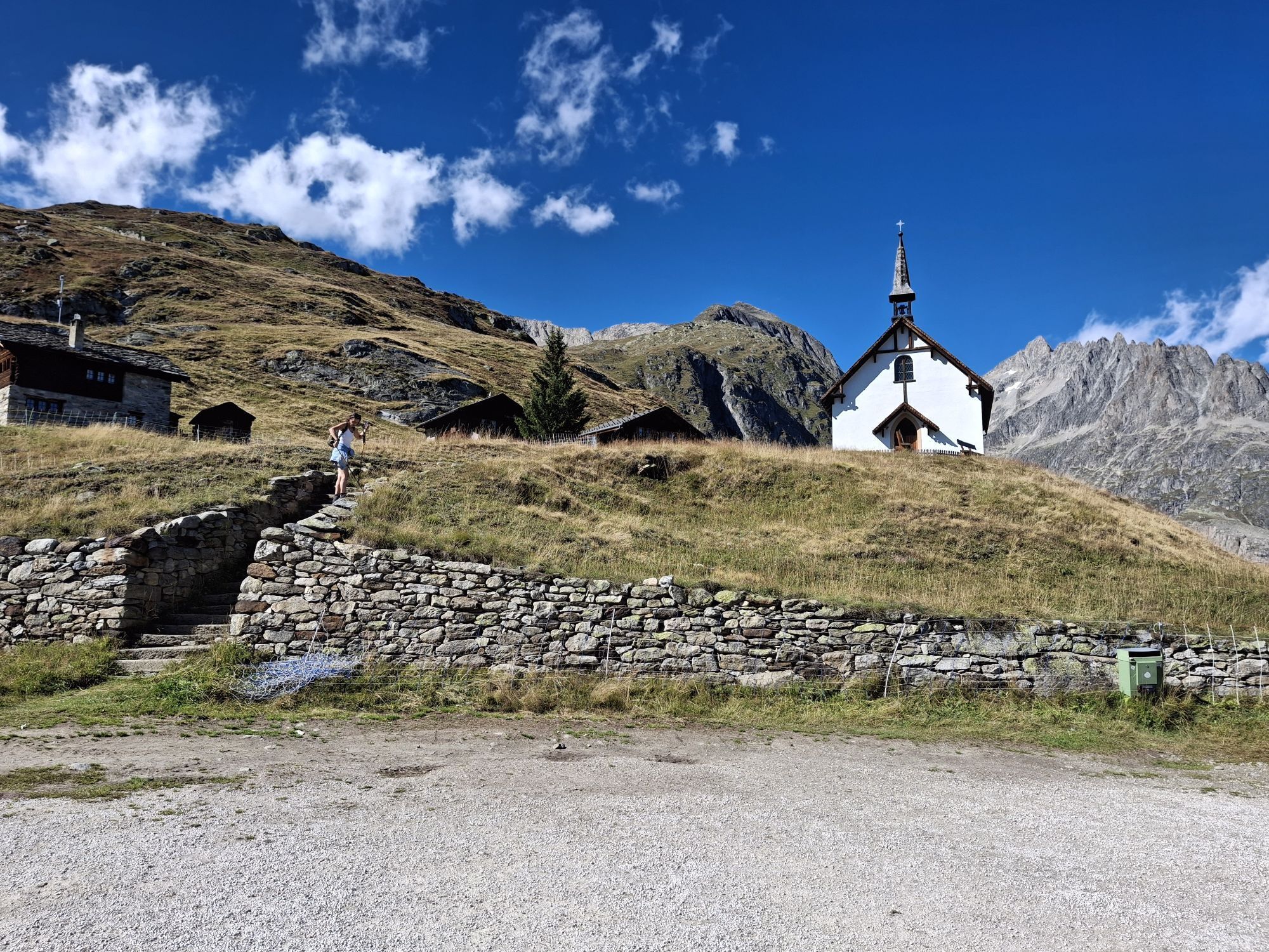
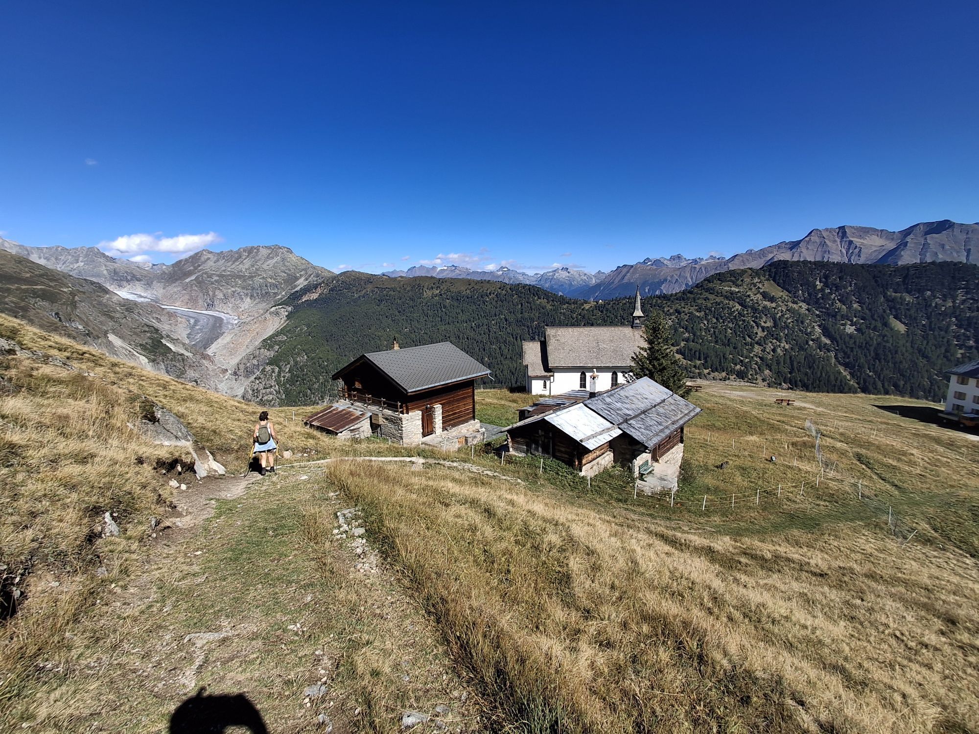
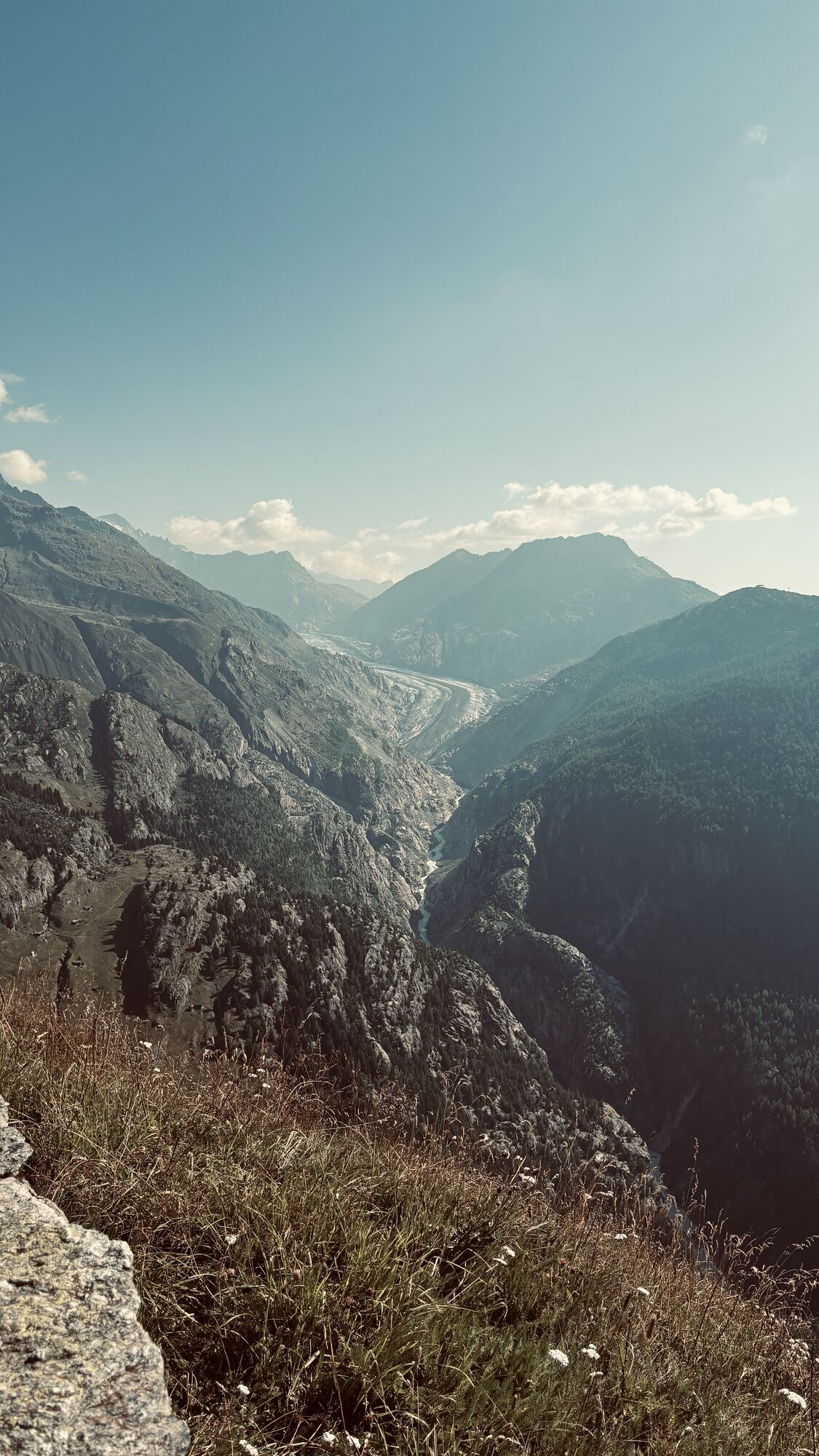
On the connecting road between the Blatten mountain station at 2,094 meters and the Aletschbord at 2,130 meters, there are only 36 meters of elevation difference. Therefore, you will barely get out of...
On the connecting road between the Blatten mountain station at 2,094 meters and the Aletschbord at 2,130 meters, there are only 36 meters of elevation difference. Therefore, you will barely get out of breath on this winter hiking trail. At least not because of the incline. However, the view of the Great Aletsch Glacier, which at 20 kilometers is the longest Alpine glacier and is part of the UNESCO World Heritage Jungfrau-Aletsch, might take your breath away. Combined with the stunning view of the Valais four-thousanders, you won’t stop marveling. You can also enjoy an exceptional panoramic view from the terrace of Hotel Belalp, where you will also gain culinary impressions. The hotel was opened during the Belle Epoque in 1858 and was stylishly renovated in 2015. Initially, the hotel mainly hosted guests from England, especially the Irish mountaineer and natural scientist John Tyndall, who spent an astonishing 44 summers there.
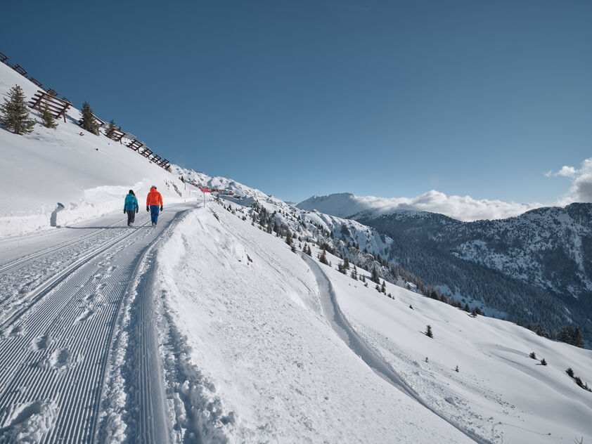
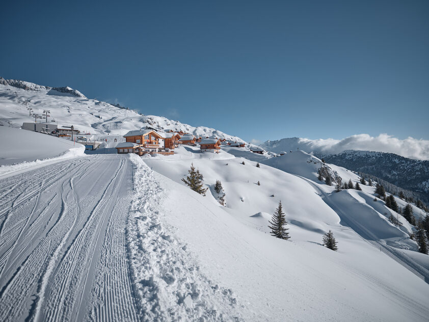
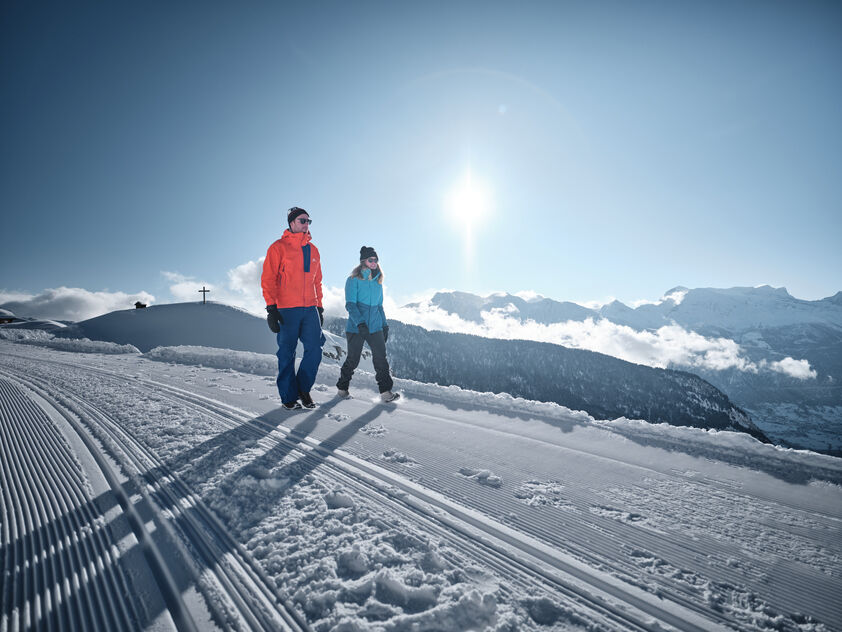
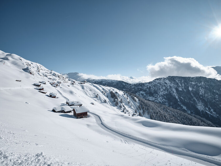

The winter hiking route starts at the Belalp mountain station. From there, you walk for about 30 minutes on the connecting road between the station and the Hotel Belalp to Bruchegg and further to the Aletschbord. Be sure to watch out for skiers who may come towards you on this section. The return trip follows the same route.
Tak
Tak
Tak
We recommend:
Good footwear Weather-dependent (waterproof) and warm clothing Headgear Sunscreen Provisions Camera Walking sticks (optional) Printout of the hiking route (click "Print" to download)Use of the winter hiking trails and information on this website is at your own risk. Local conditions may potentially cause changes to the route. Valais/Wallis Promotion assumes no responsibility for the accuracy and completeness of the information on this website.
Carry a map with you. Download the complete description of the hiking trail with a large-scale map by clicking "Print" at the top right of the page. Use only marked hiking trails and follow all signposts and instructions – for your own safety, to protect grazing animals, and out of respect for wildlife. Be considerate to other trail users and the landscape. Take your waste and that of others with you. Carry additional sun protection. UV rays at high altitudes can be very strong, especially in winter, even in cloudy weather. Plan your hike carefully: consider the required fitness level of all participants, weather forecasts, and seasonal conditions. Weather conditions in the mountains can change very quickly and without warning. Appropriate clothing and sufficient provisions (food and drink) are very important. In unstable weather, it is better to turn back early. Do not go onto glaciers without a mountain guide. Observe warning signals indicating dangers, especially avalanche risk.Inform third parties about the route and, if possible, never go alone.
A9 motorway towards Brig. Continue towards Naters to Blatten.
Accessible by train and bus. From Brig station with the post bus to Blatten (Belalp).
Day parking
For shorter stays of one day, our day parking lot is best suited. It is paid.
Parking garage / parking lot
Guests who stay with us for more than 2 days can park their car in the parking lot or the parking garage. You can pay for the parking lot at the ticket machine or at the information and ticket counters in Blatten.
The parking lot costs CHF 12.00 per day in winter and CHF 9.00 in summer.
After paying the visitor’s tax or as a member of Pro Blatten, you will receive a 15% discount.
Rischinu parking lot
During the winter season, the parking lots in Rischinu are available free of charge. A sports bus will conveniently and easily take you from there to the valley station of the cable cars.
More information can be found here
3
Further information about the destination:
Despite the short distance, take enough time to enjoy the unique view of the imposing Great Aletsch Glacier at the Aletschbord and refresh yourself at the Hotel Belalp for the return journey.
Uzyskaj wgląd
Zawsze na żywo z ponad 9 500 kamer internetowych. bergfex Jako użytkownik Pro, możesz teraz zobaczyć odpowiednie kamery internetowe dla wielu wycieczek w aplikacji wycieczki od. Pozwala to na bezpośredni podgląd aktualnych warunków.
Popularne wycieczki w okolicy
-
4,7
Lötschentaler Höhenweg
światłoWędrówka 9,17 km -
UNESCO Höhenweg
Wędrówka 3,70 km -
5,0
Rundwanderung Anenhütte
średniWędrówka 10,2 km -
4,0
Panoramaweg über den Aletschgletscher
średniWędrówka 17,7 km -
CIRCULAR HIKE MASSEGGA SUSPENSION BRIDGE
światłoWędrówka 6,44 km -
4,0
Eggishorn via ferrata
średniVia ferrata 1,39 km -
5,0
Aletsch Sightseeing
średniWędrówka zimą 15,5 km -
4,0
NATICHERBERG CIRCULAR TRAIL
średniWędrówka 12,1 km -
4,0
Höhenwanderung Rosswald
światłoWędrówka 6 km -
Hollandiahütte SAC
ciężkiWycieczka wysokogórska 10,2 km

Wędrówki i tropienie


Nie przegap ofert i inspiracji na następne wakacje
Twój adres e-mail została dodana do listy mailingowej.





