


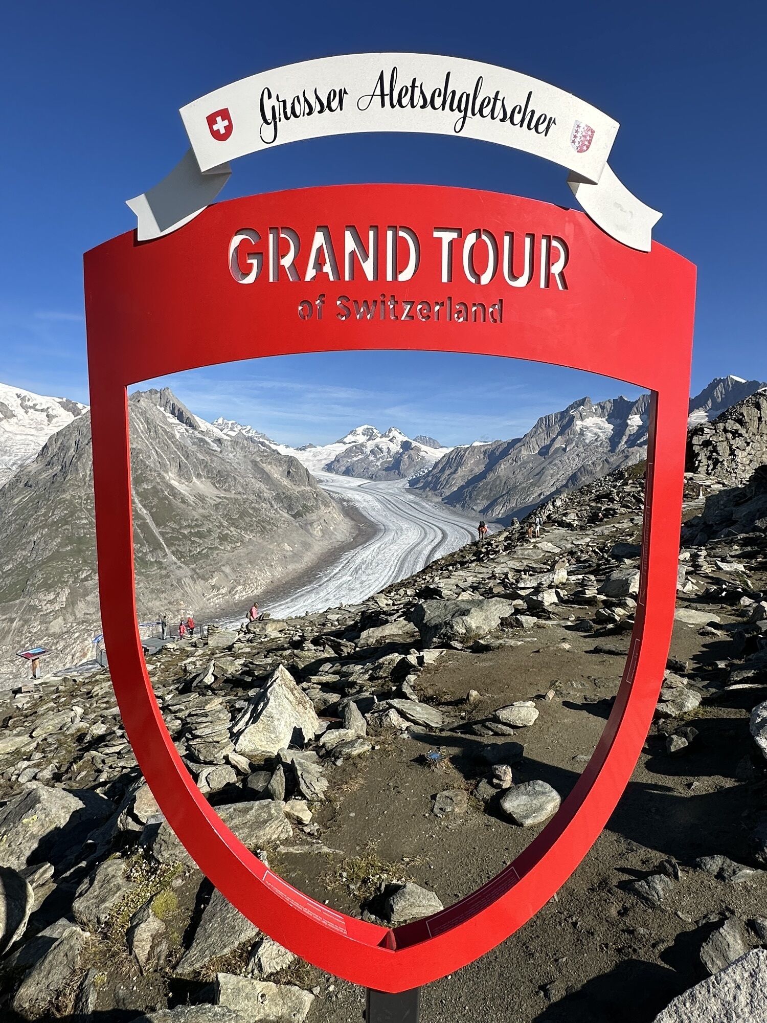
Eggishorn via ferrata
Poziom trudności: B/C
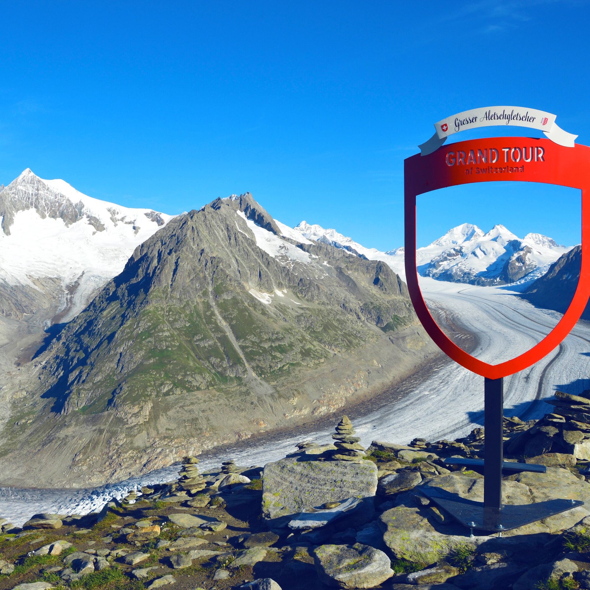
Zdjęcia naszych użytkowników
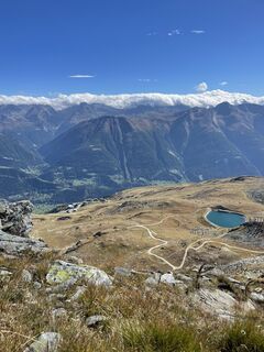
 © Babs MoergeliUtworzono dnia 20.09.2025
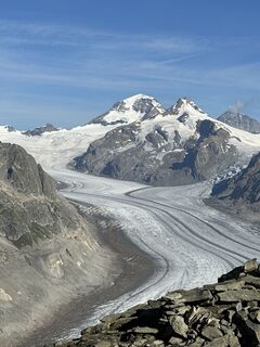
 © Heinrich MocelliniUtworzono dnia 16.08.2023
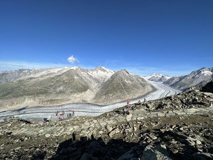 © Heinrich MocelliniUtworzono dnia 16.08.2023
 © Heinrich MocelliniUtworzono dnia 16.08.2023
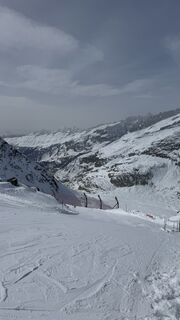
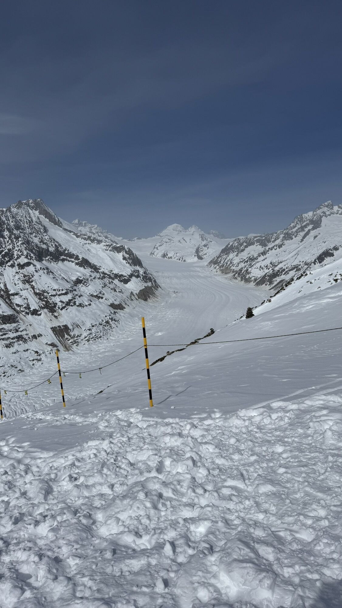
 © Thomas Aebi 1Utworzono dnia 05.03.2026
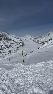 © Thomas Aebi 1Utworzono dnia 05.03.2026
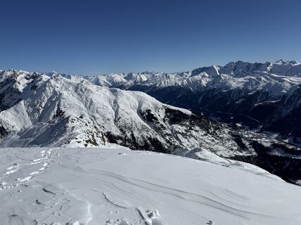 © Eckehard LiesausUtworzono dnia 25.02.2026
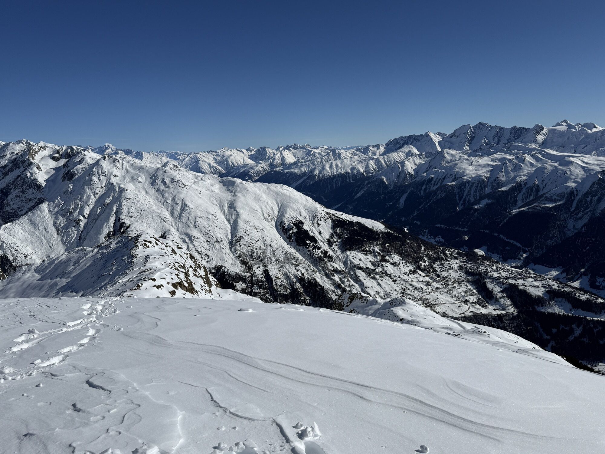
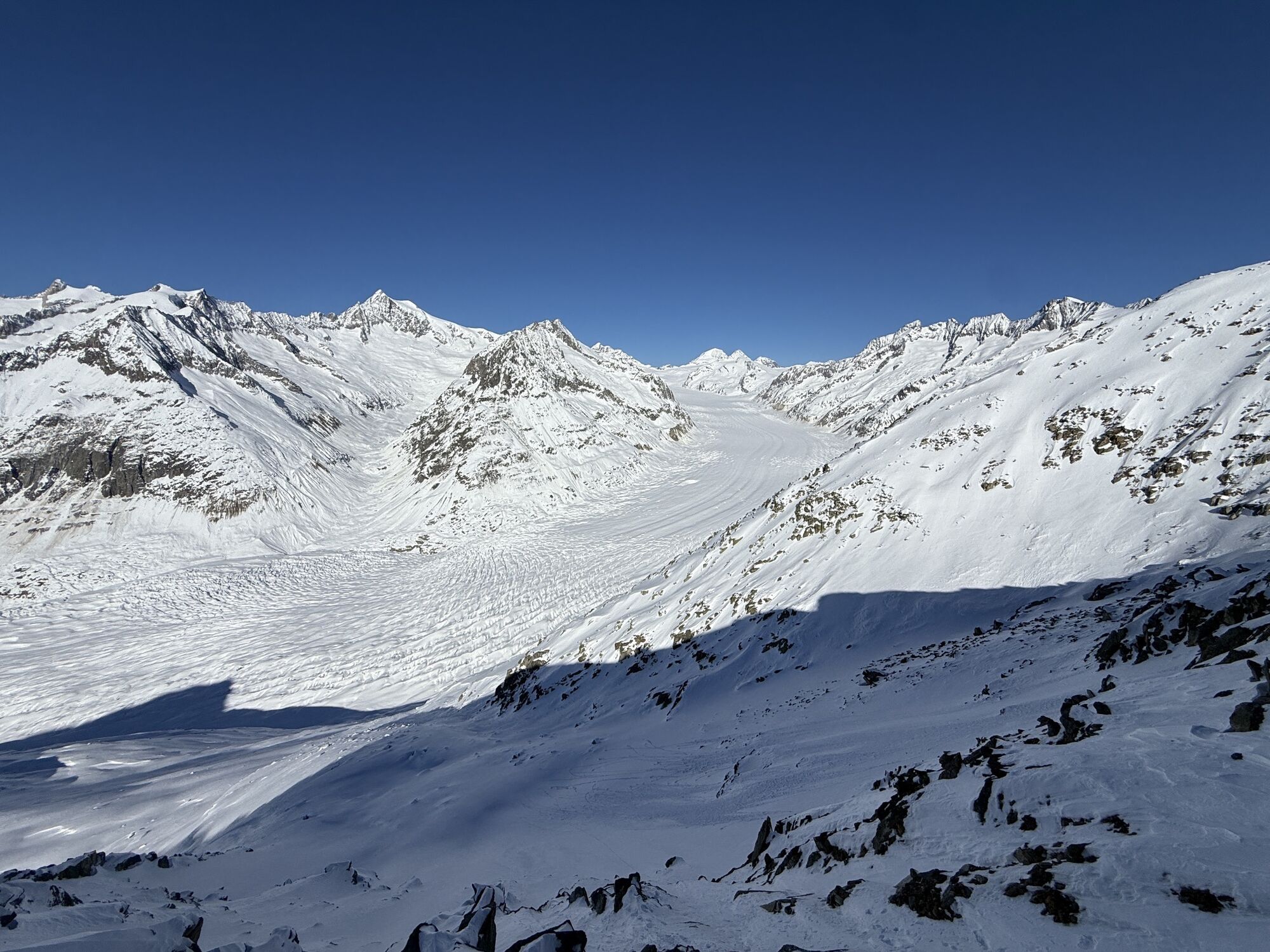
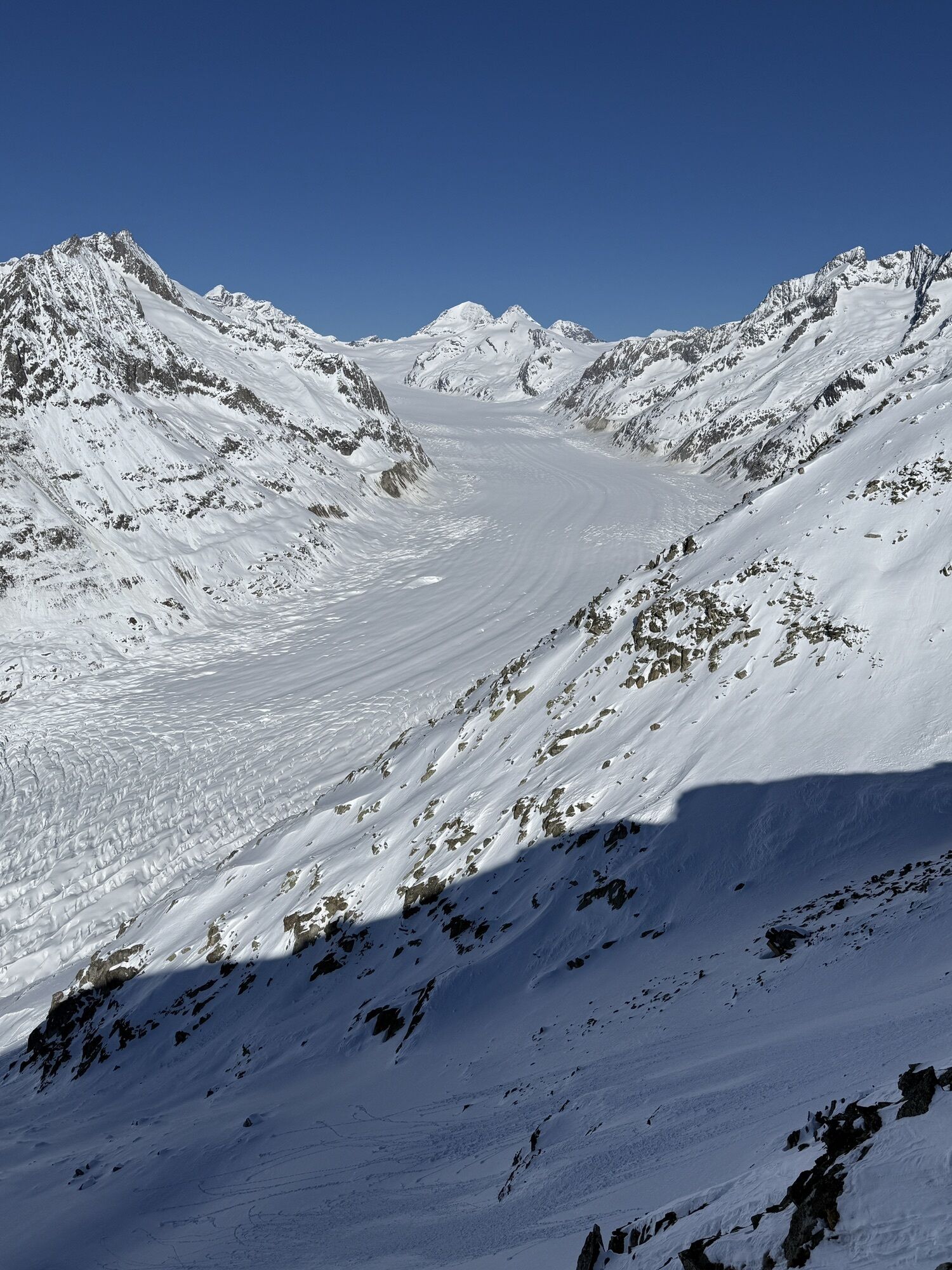
 © Eckehard LiesausUtworzono dnia 25.02.2026
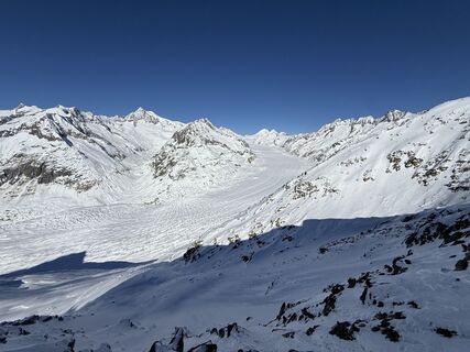 © Eckehard LiesausUtworzono dnia 25.02.2026
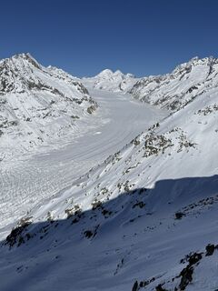 © Eckehard LiesausUtworzono dnia 25.02.2026


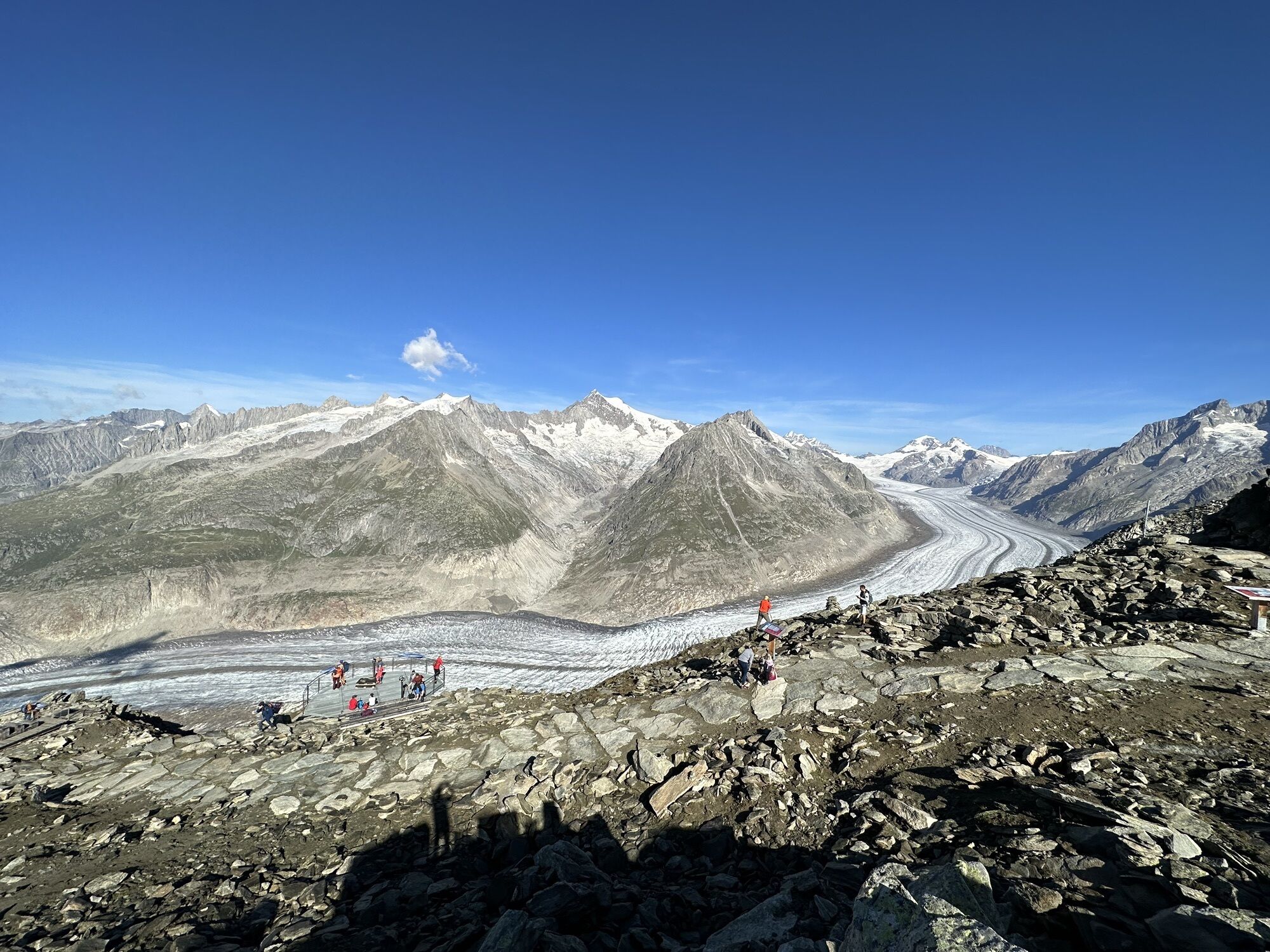

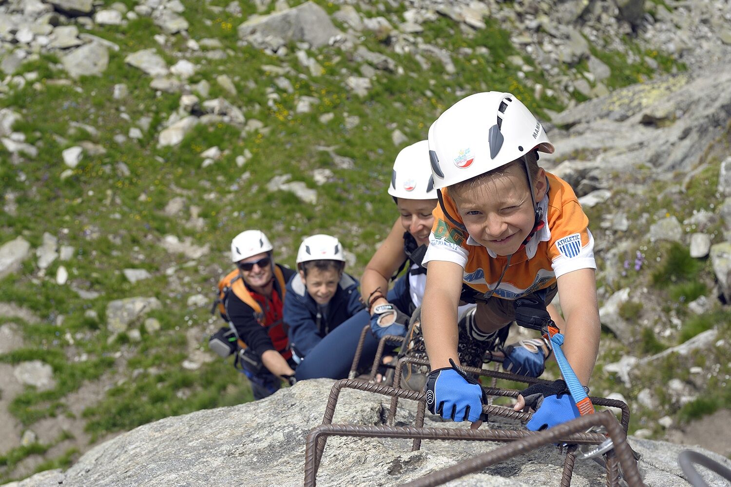
The Eggishorn via ferrata is excellently secured with robust iron steps, wire ropes, and railings. Highlights that require a bit more courage can be bypassed. Special safety is provided by climbing with...
The Eggishorn via ferrata is excellently secured with robust iron steps, wire ropes, and railings. Highlights that require a bit more courage can be bypassed. Special safety is provided by climbing with a local mountain guide. The Eggishorn via ferrata is reachable from the Eggishorn mountain station by a 15-minute walk.


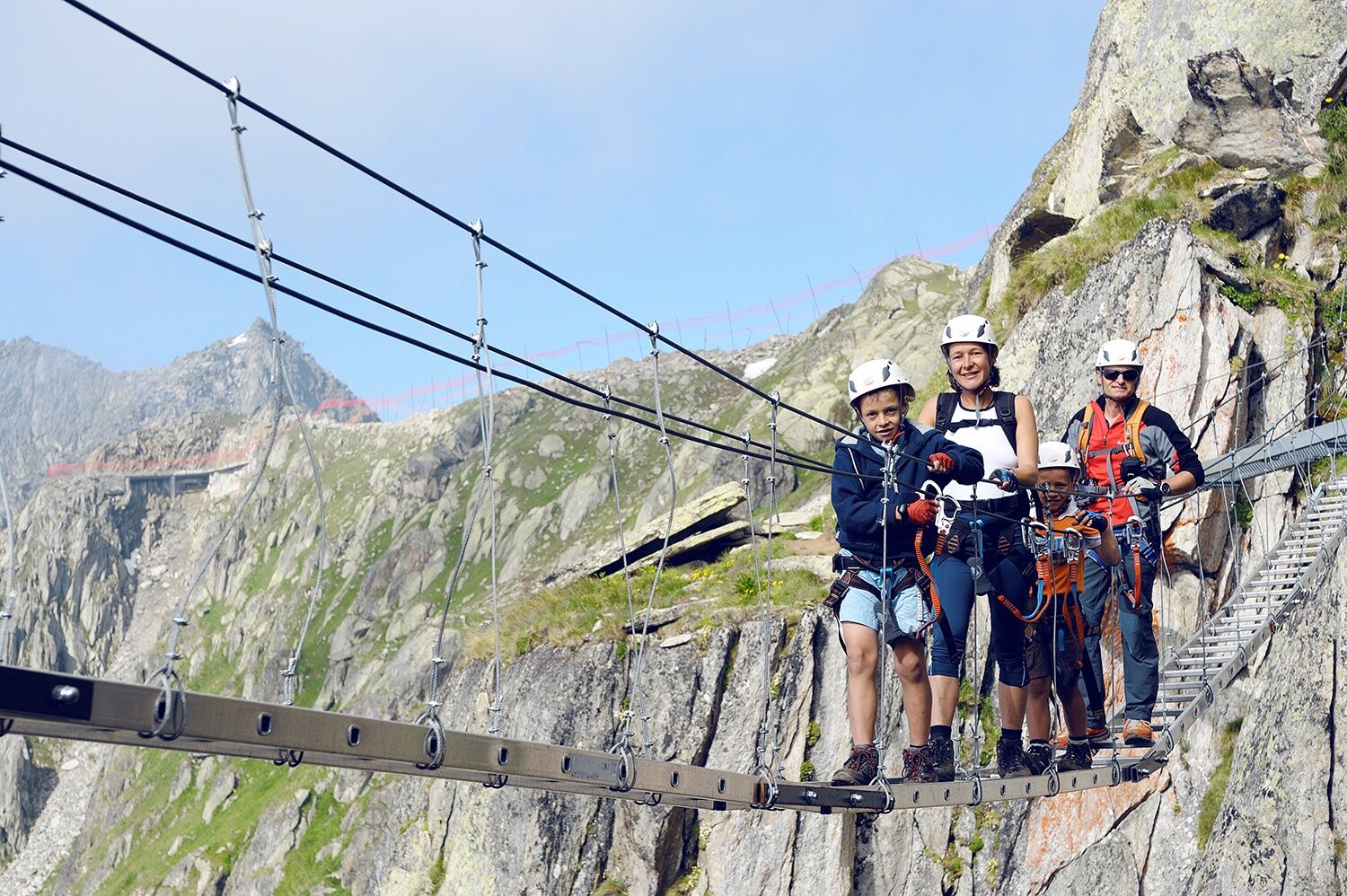
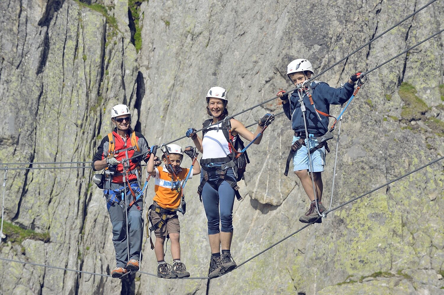
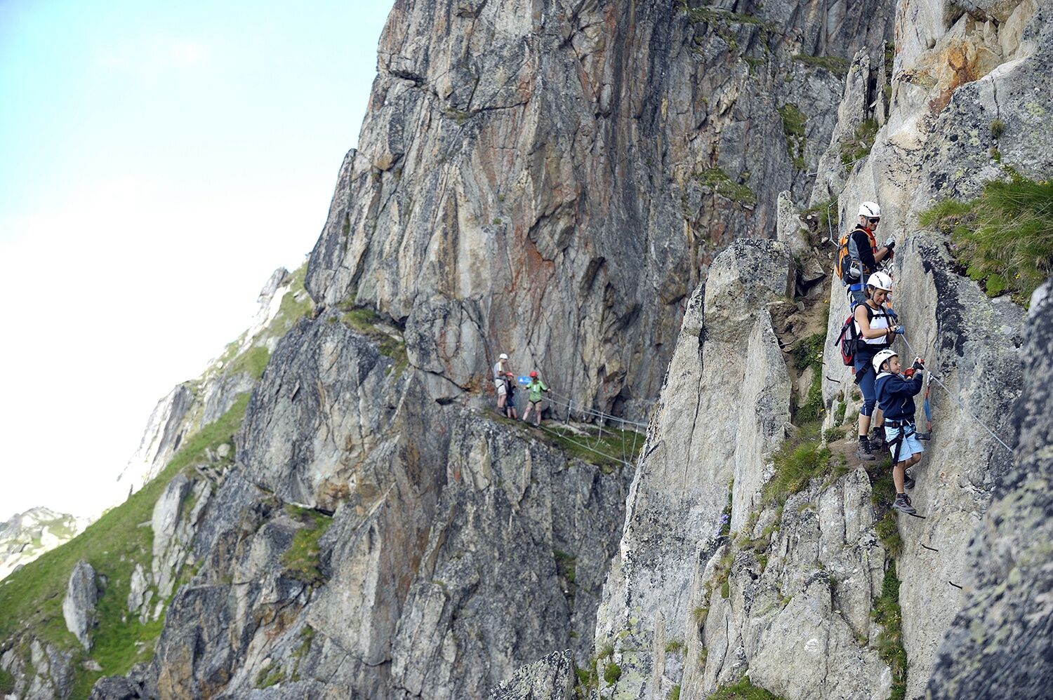
From the mountain station at Eggishorn, follow the UNESCO high-altitude trail to the Elselücke, where a path branches off to the left leading to the entrance. The via ferrata crosses various obstacles for about one hour through the rock of the Fiescherhorli. Before the route continues vertically upward, the via ferrata can be exited via an intermediate exit. Along the ridge and over rock blocks, the via ferrata leads to a suspension bridge before the climbers reach the exit at the mountain station.
Tak
Tak
Tak
For walking a via ferrata, a harness with a via ferrata set for self-protection is mandatory. Due to the danger of falling rocks, wearing a helmet is also a must.
Pay attention to good footwear, suitable clothing, and sufficient provisions. Gloves offer additional protection for fingers and joints and prevent abrasions.
Weather: Those on via ferratas should consider weather forecasts. A sudden deterioration in weather can be life-threatening. Via ferratas must be avoided during thunderstorms.
Danger of falling rocks: On via ferratas there is a risk of falling rocks, mostly caused by preceding climbers or wild animals. Therefore, protect yourself with a helmet.
Safety: When on a via ferrata, always keep sufficient distance from the climber in front. Only one person should be in one anchoring section at a time.
Highway A9 to Brig, then canton road 19 to Fiesch. From Central Switzerland via Furka on canton road 19 to Fiesch.
Regular Intercity or Interregio connections from all over Switzerland to Brig. Then regional train to Fiesch and ride with the cable car to Eggishorn.
Parking lot at the valley station of the cable car in Fiesch.
B/C
Equipment rental:
Local sports shops in FieschMore information about the destination can be found here:
FieschKamery internetowe z trasy
Bettmerhorn Aletsch Gebiet
Bettmerhorn
Bergstation Wurzenbord
Bellwald Tourismus
Eggishorn
Eggishorn
Eggishorn
Eggishorn
Eggishorn
Eggishorn
Eggishorn
Bergstation Wurzenbord
Bergstation Wurzenbord
Bergstation Wurzenbord
Bergstation Wurzenbord
Bergstation Wurzenbord
Fiesch
Moosfluh Bergstation
Moosfluh Bergstation
Moosfluh Bergstation
Moosfluh Bergstation
Moosfluh Bergstation
Moosfluh Bergstation
Bellwald Talstation
Fiescheralp - Kühboden
Popularne wycieczki w okolicy
UNESCO Höhenweg
Wędrówka 3,70 km- 4,0
Panoramaweg über den Aletschgletscher
średniWędrówka 17,7 km CIRCULAR HIKE MASSEGGA SUSPENSION BRIDGE
światłoWędrówka 6,44 km- 4,0
WILDLIFE EDUCATIONAL PATH BELALP - BLATTEN
światłoTrasa tematyczna 6,67 km - 5,0
Aletsch Sightseeing
średniWędrówka zimą 15,5 km - 5,0
BLATTEN BEI NATERS - HOLZJI - BELALP
średniWędrówka 7,80 km - 5,0
Blatten bei Naters - through the larch forest - Belalp
średniWędrówka 5,18 km - 4,0
NATICHERBERG CIRCULAR TRAIL
średniWędrówka 12,1 km - 4,5
Hike to the Glacier View in Bellwald
średniWędrówka 8,86 km - 4,0
Höhenwanderung Rosswald
światłoWędrówka 6 km

Wędrówki i tropienie


Nie przegap ofert i inspiracji na następne wakacje
Twój adres e-mail została dodana do listy mailingowej.