


NATICHERBERG CIRCULAR TRAIL
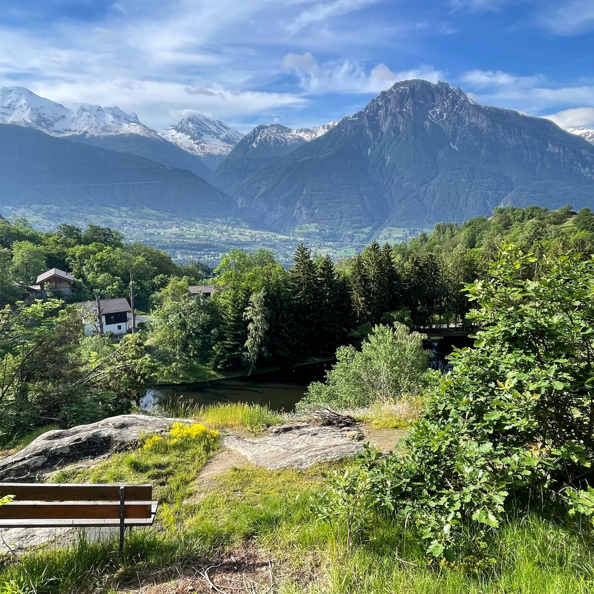
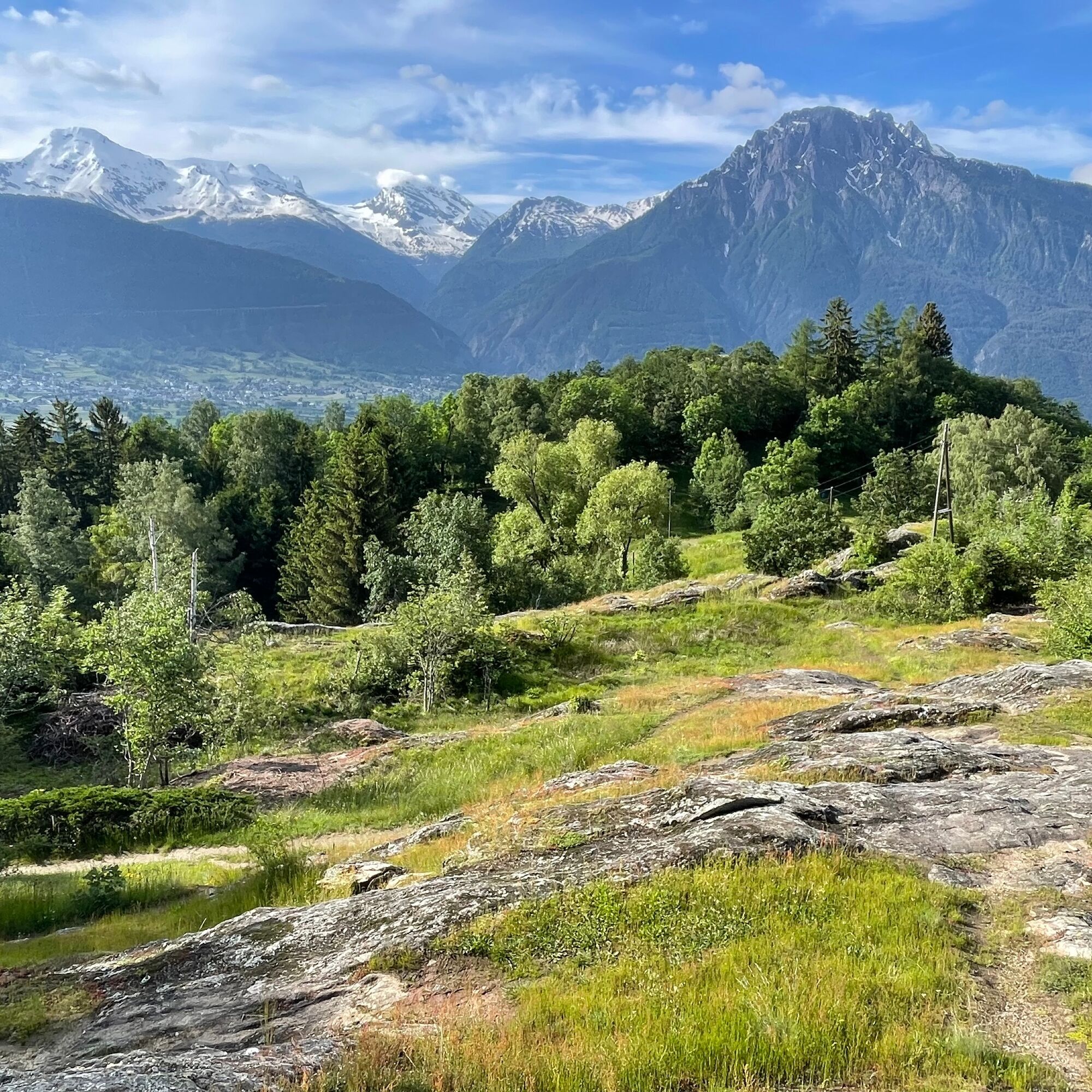
This circular hike first takes you through the old village centre of Naters, which is well worth seeing. You then follow old paths from Klosi to Bellavista and from there to Hegdorn. Enjoy the unique view...
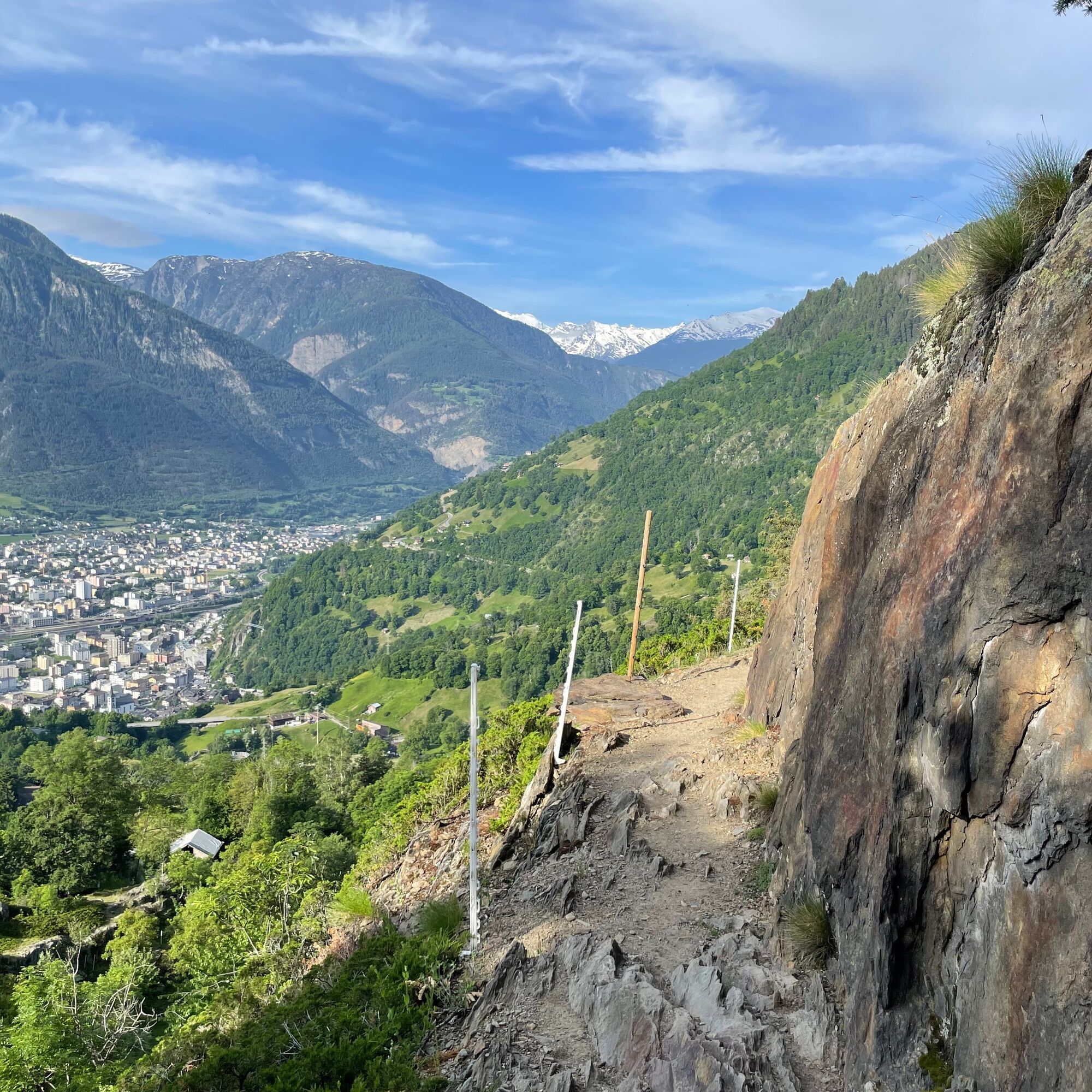
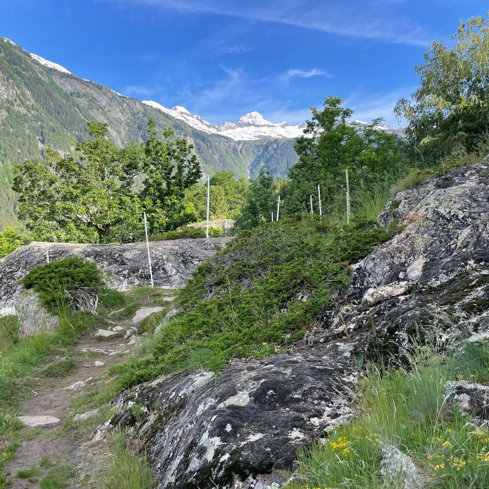
This circular hike first takes you through the old village centre of Naters, which is well worth seeing. You then follow old paths from Klosi to Bellavista and from there to Hegdorn. Enjoy the unique view of the Rhone valley.
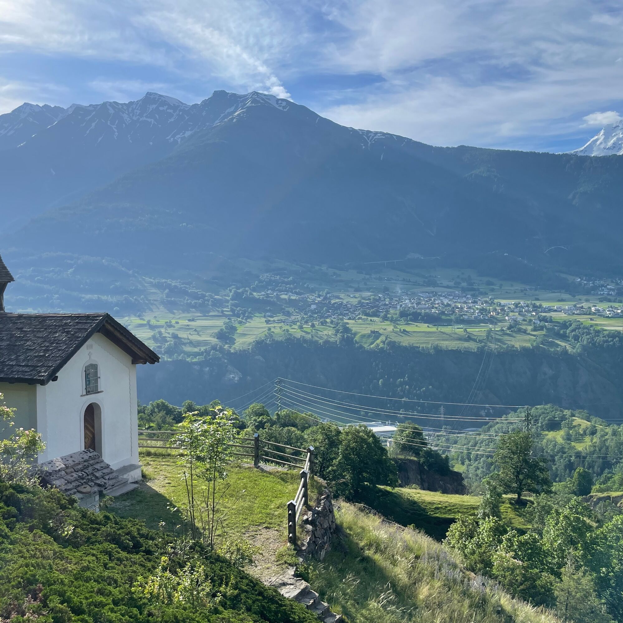
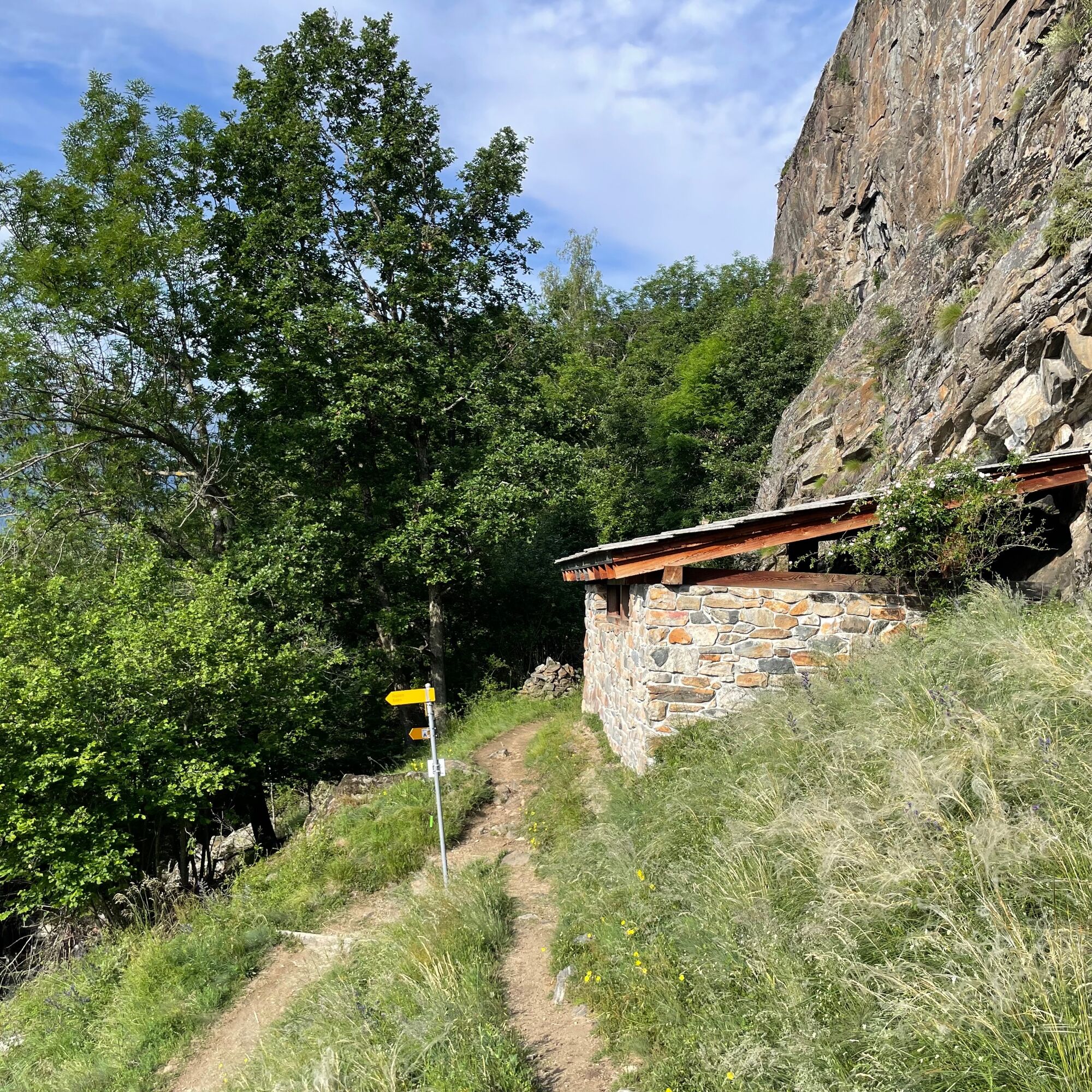
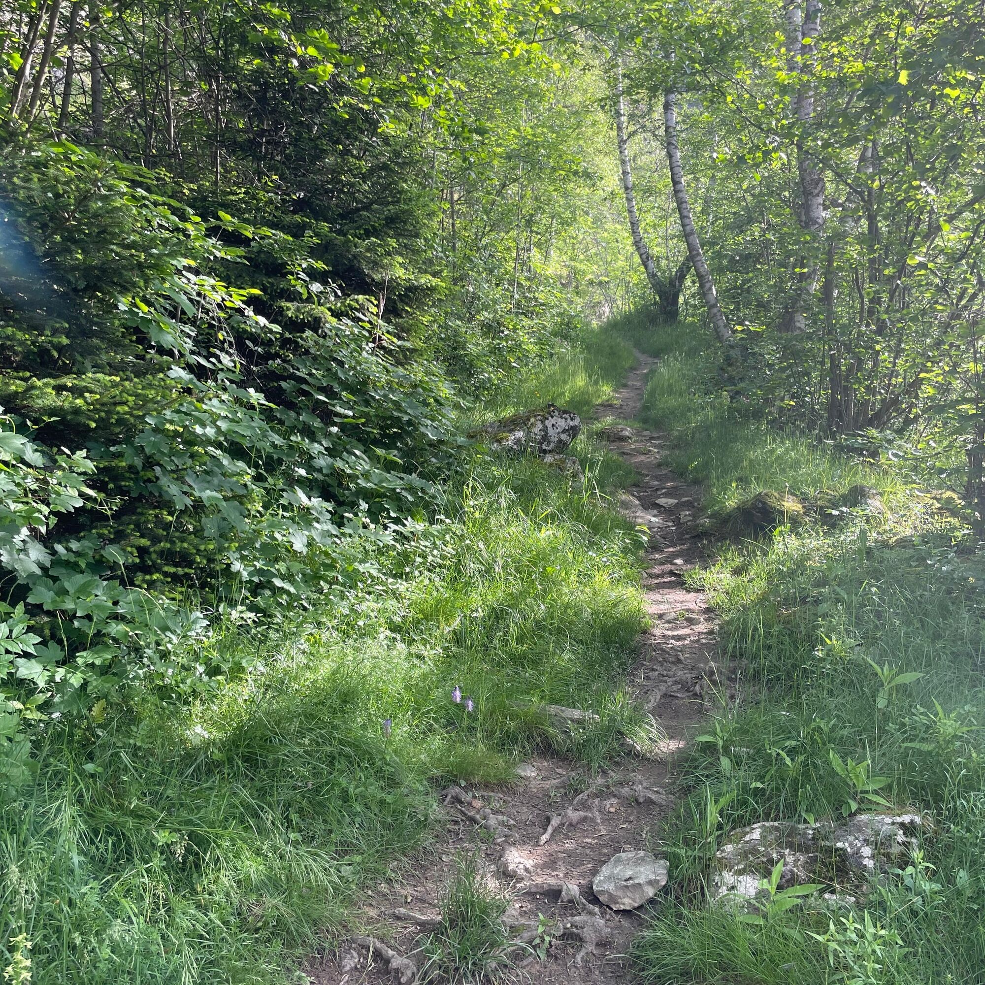
Once you reach the Trämel chapel (Armenseelenkapelle), it is worth taking a break and enjoying the view before continuing on your way. Between the Trämel chapel and the hamlet of Geimen, the area is characterised by a dry and species-rich rocky steppe. The trail leads past the still visible rock holes where lead, lime, quartz, crystals and talc were mined during the war years.
In Geimen, follow the signposts in the direction of Birgisch. At Geimenblatt, you leave the wide hiking trail and walk partly along the course of the Suone Stockeri to Birgisch and from here you can walk back to Naters.

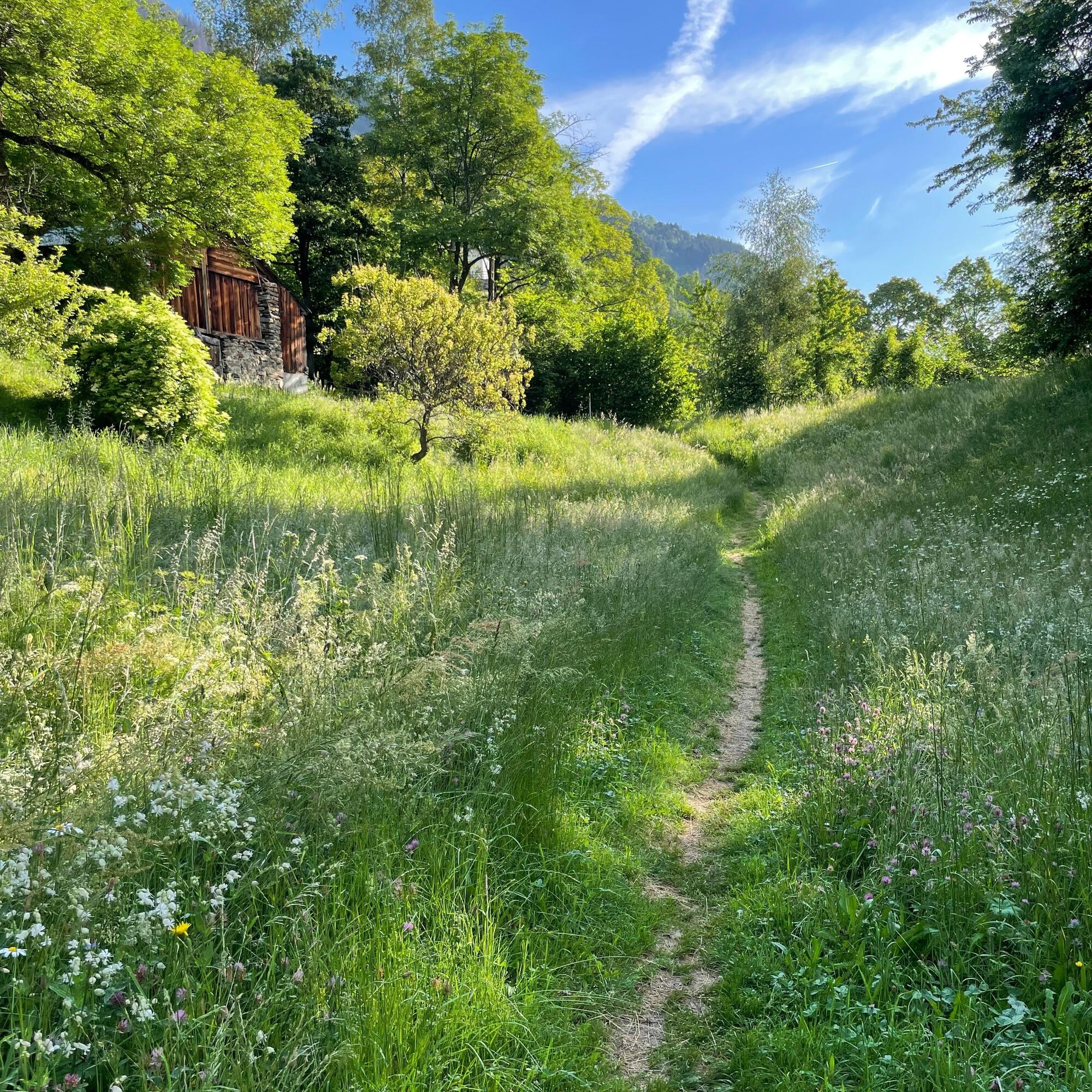
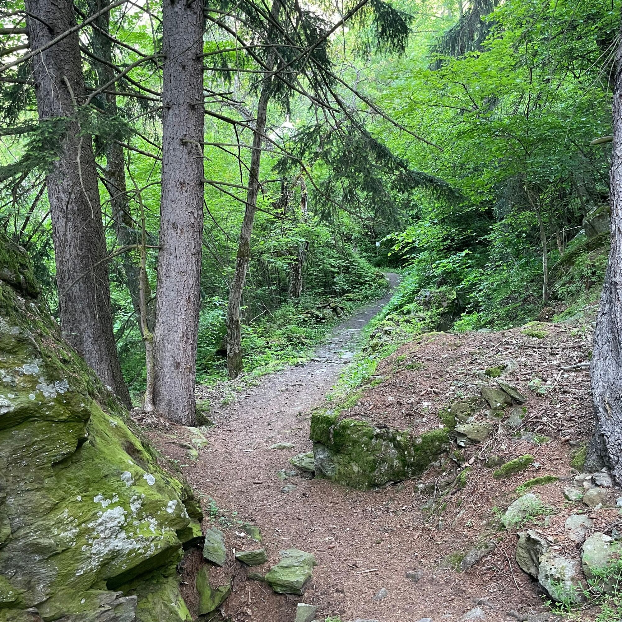
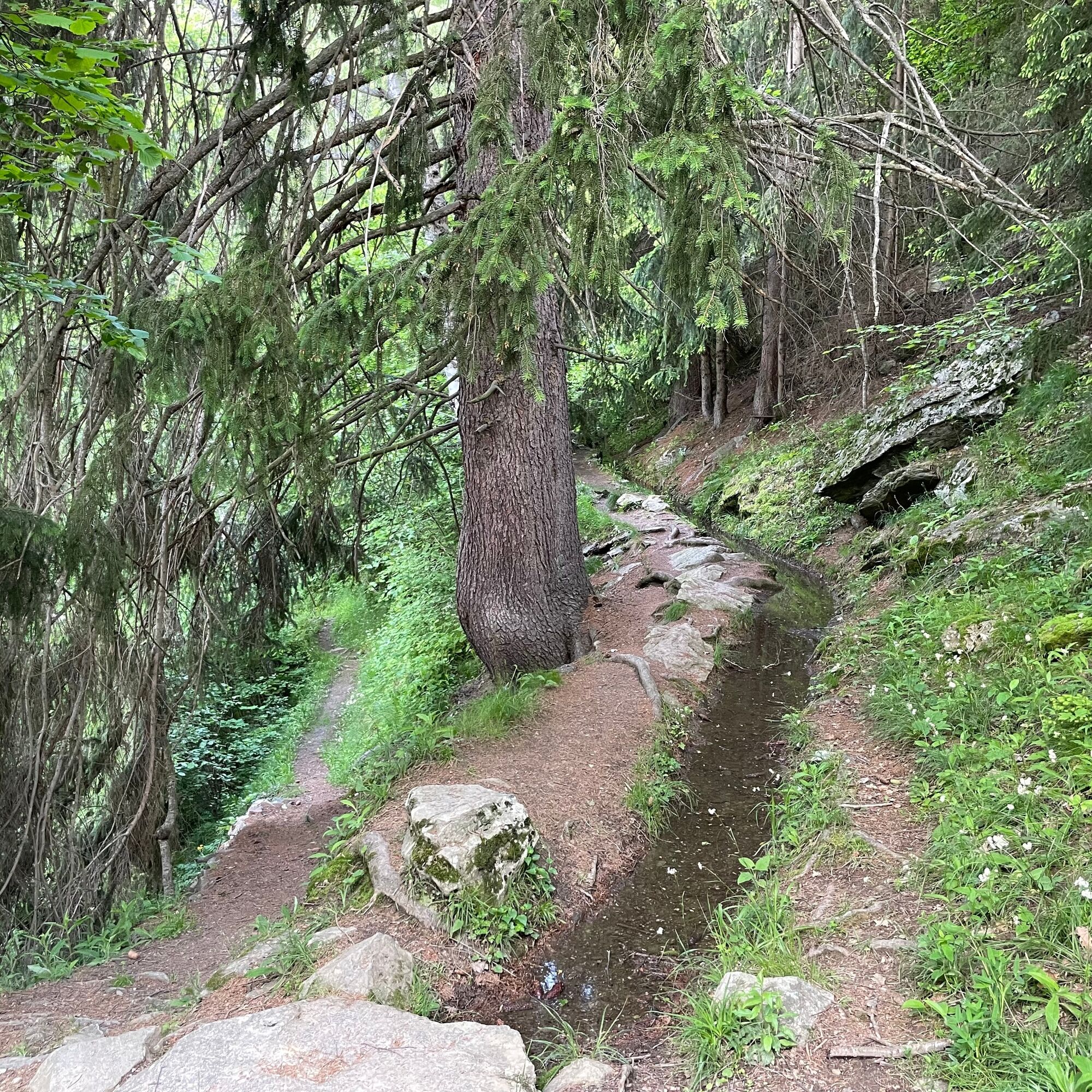


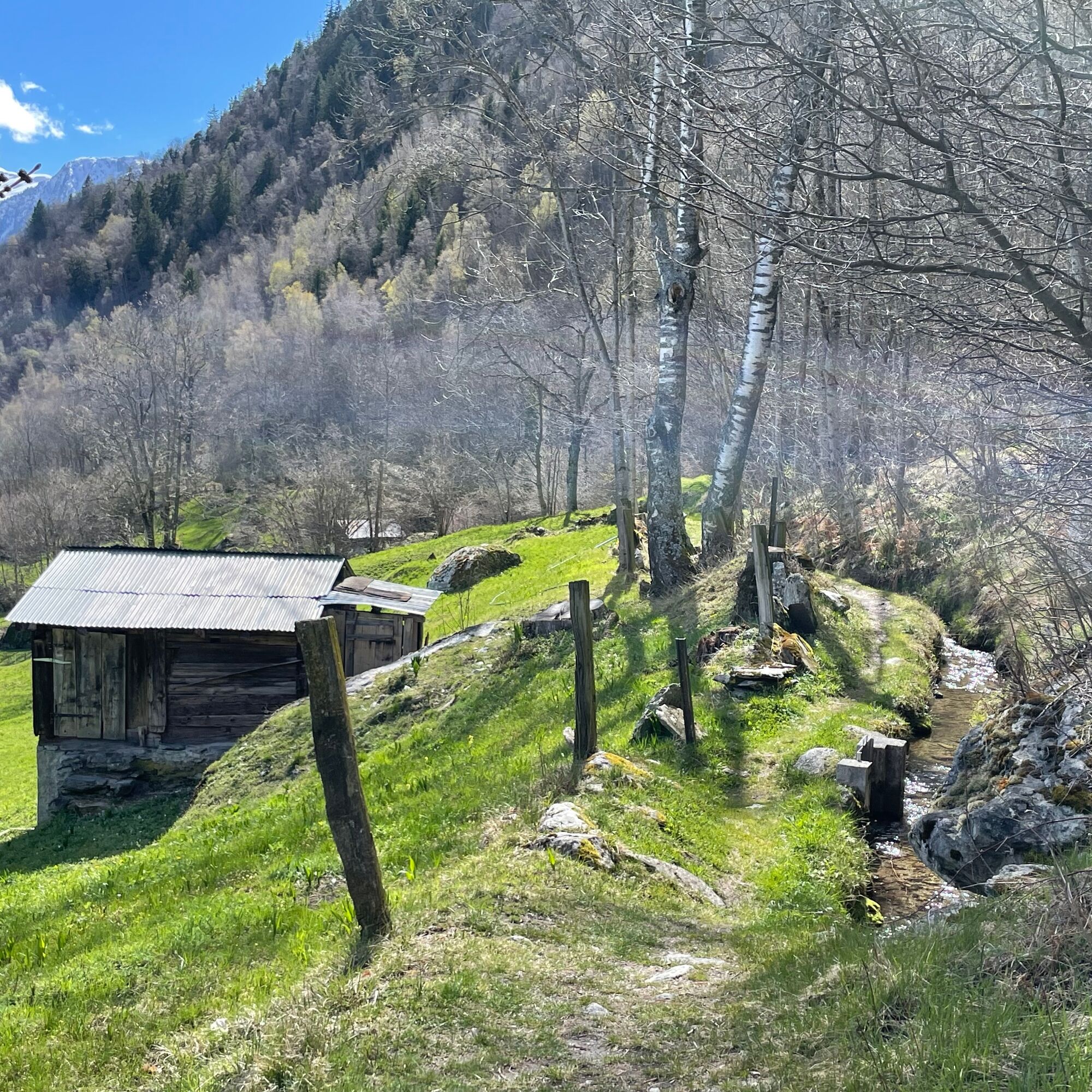


At Klosi, leave the village and head along the historic road to the crossing with the car road to Birgisch. Walk in the direction of Bellavista and here follow the path into Hegdorn. From here, continue to Trämel and via Bitschji to Geimen. Once in Geimen, follow the signposts that lead to Birgisch. From Birgisch the trail leads back to Naters, initially in places along the main road, before the trail turns right and ends at the Klosi in Naters.
Naters - Trämel - Geimen - Birgisch - Naters
Tak
Sturdy shoes, clothing suitable for the weather, sun and rain protection, as well as sufficient supplies of food and drinks, should there be no refreshment stops or shopping facilities available or open. Although the trail is very well marked throughout, you should always have a suitable hiking map with you for safety reasons. Take sticks or other aids with you.
Despite the "impossible to miss" marking of the hiking trails, we recommend for safety reasons to always have an appropriate hiking map with you, so that you can quickly find your way to a safe area in case of a thunderstorm or emergency, for example.
Especially in autumn, you should also be aware that leaves lying on the ground can hide bumps, roots, stones or holes in the path. After storms, trees can still fall over or branches can fall down. Especially in adverse weather conditions, muddy and slippery passages can occur on natural paths. You have to expect this kind of path impairment when you go on a hike.
Not all rocks or precipices are secured with ropes or railings. In some cases surefootedness is required. If you are of the opinion that certain sections of the trail are not passable for you, you should avoid them.
From western Switzerland: A9 Lausanne - Vevey, or north-western Switzerland: A12 Bern - Vevey: A9 - Sierre: main road Sierre - Brig
From north-western Switzerland: A6 Berne - Thun - Spiez: main road Spiez - Kandersteg (Lötschberg tunnel car transport) - Goppenstein - Gampel - Brig
From eastern and central Switzerland: Andermatt - Realp (year-round Furka car transport; in summer via Furka Pass) - Oberwald - Brig
From Ticino (in summer): Airolo - Nufenenpass - Ulrichen - Brig
Or via Centovalli - Domodossola - Simplonpass - Brig
From Italy (Aosta, Mt. Blanc Tunnel): Aosta - Grand Saint Bernard tunnel (over the pass in summer) - Martigny: A9 motorway - Sierre: Sierre - Brig main road.
Or via Domodossola - Simplon Pass - Brig
Birgisch / Mund
From Brig you can reach Birgisch and Mund via Naters.
Take the post bus or the local bus (line 1) from Brig to Naters Marktplatz and start your tour there.
You can also walk directly from Brig through Naters to start your tour.
Mund
Take the post bus to Mund village and start your tour there.
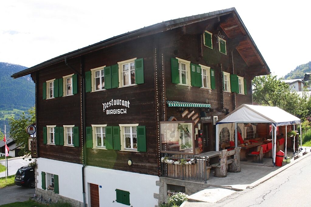
Birgisch
Take the post bus from Brig to Birgisch car park and start your tour there.
You can find the timetable and further information on how to get there at: www.belalp.ch
Both in Naters and in Brig there are several paid parking spaces and multi-storey car parks available.
If you have any questions, please contact:
Belalp Bahnen AG
Blatten - Belalp Tourismus AG
Visit the old village centre of Naters.
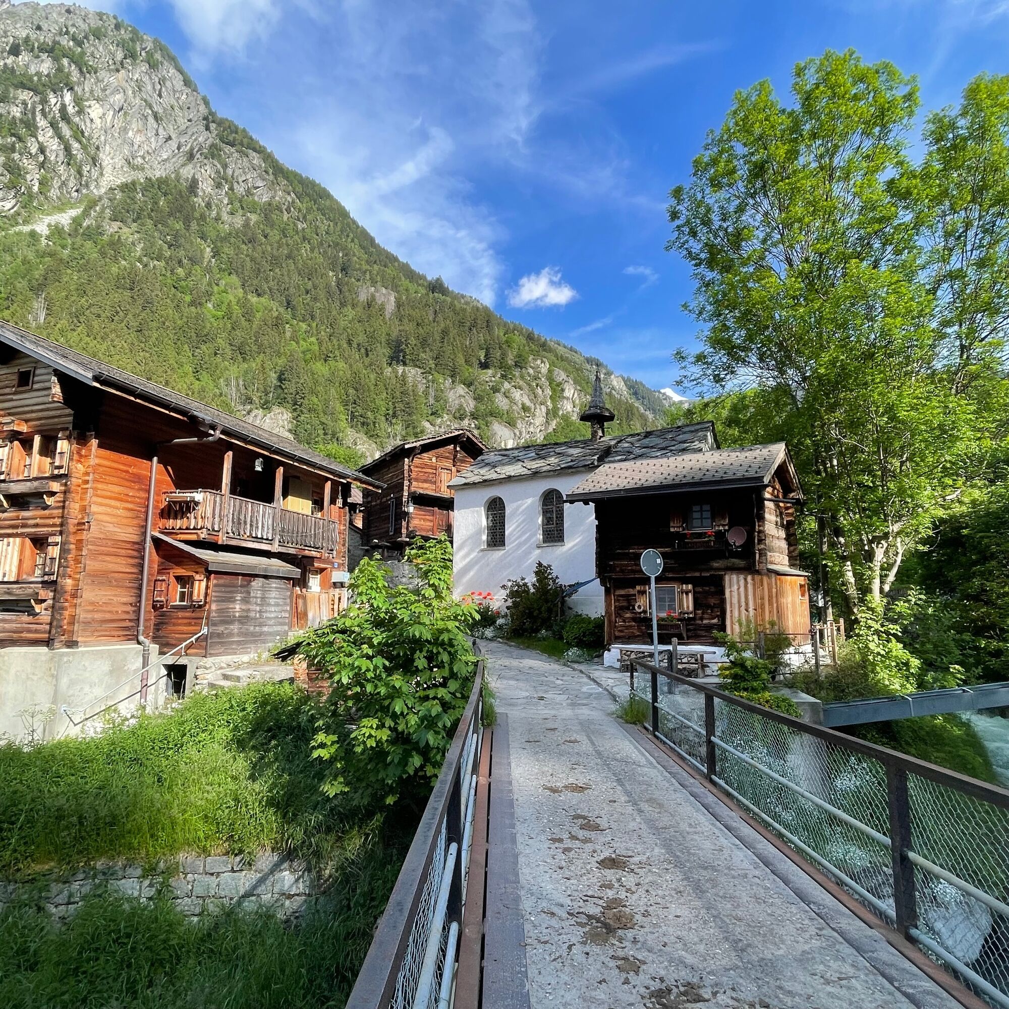
Pay a visit to the chapels in Trämel and Bitschji.

Popularne wycieczki w okolicy
- 5,0
Moosalp Panoramaweg
światłoWędrówka 6,36 km UNESCO Höhenweg
Wędrówka 3,70 km- 5,0
Rundwanderung Anenhütte
średniWędrówka 10,2 km - 4,0
Panoramaweg über den Aletschgletscher
średniWędrówka 17,7 km CIRCULAR HIKE MASSEGGA SUSPENSION BRIDGE
światłoWędrówka 6,44 km- 4,0
Eggishorn via ferrata
średniVia ferrata 1,39 km - 5,0
Aletsch Sightseeing
średniWędrówka zimą 15,5 km - 4,0
Höhenwanderung Rosswald
światłoWędrówka 6 km Hollandiahütte SAC
ciężkiWycieczka wysokogórska 10,2 kmKinderwanderweg MoosAlbi uns seine Waldtiere
światłoWędrówka 3,50 km

Wędrówki i tropienie


Nie przegap ofert i inspiracji na następne wakacje
Twój adres e-mail została dodana do listy mailingowej.