






Blinnenhorn route

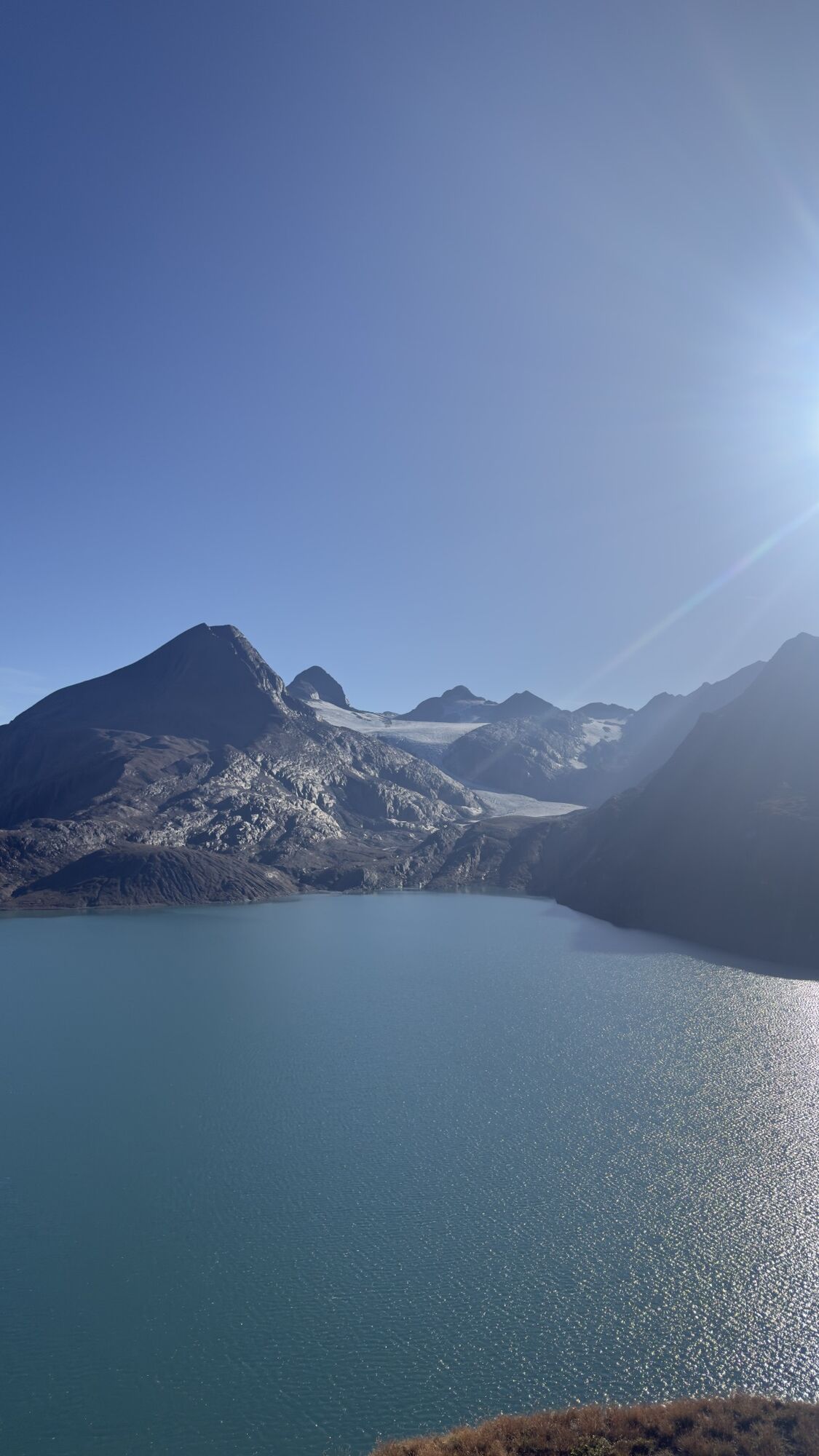
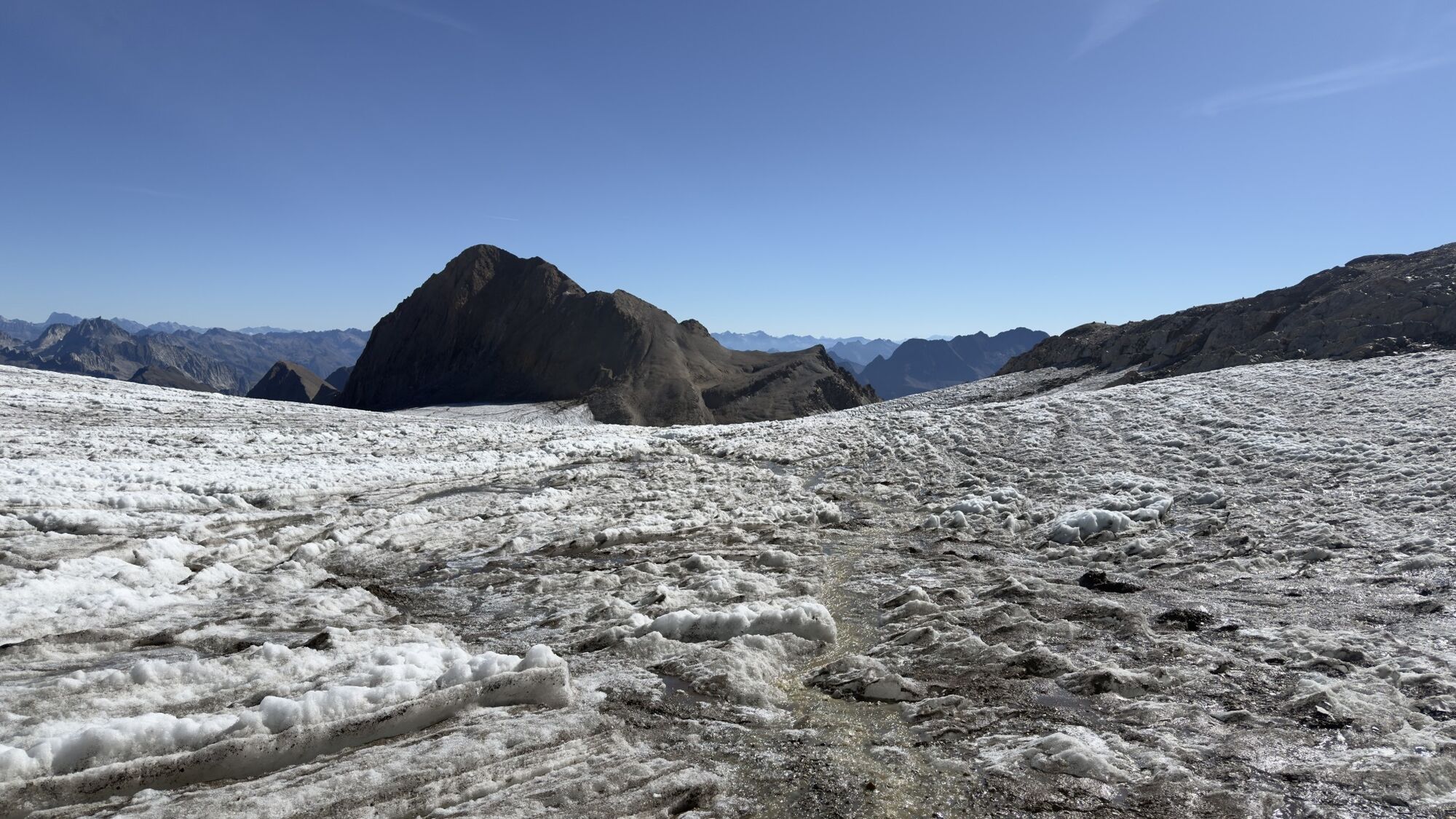
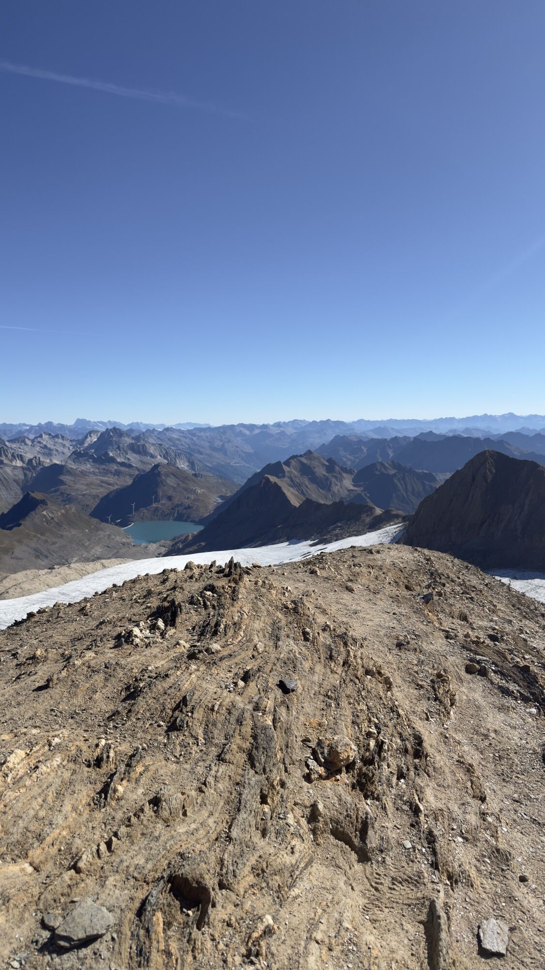
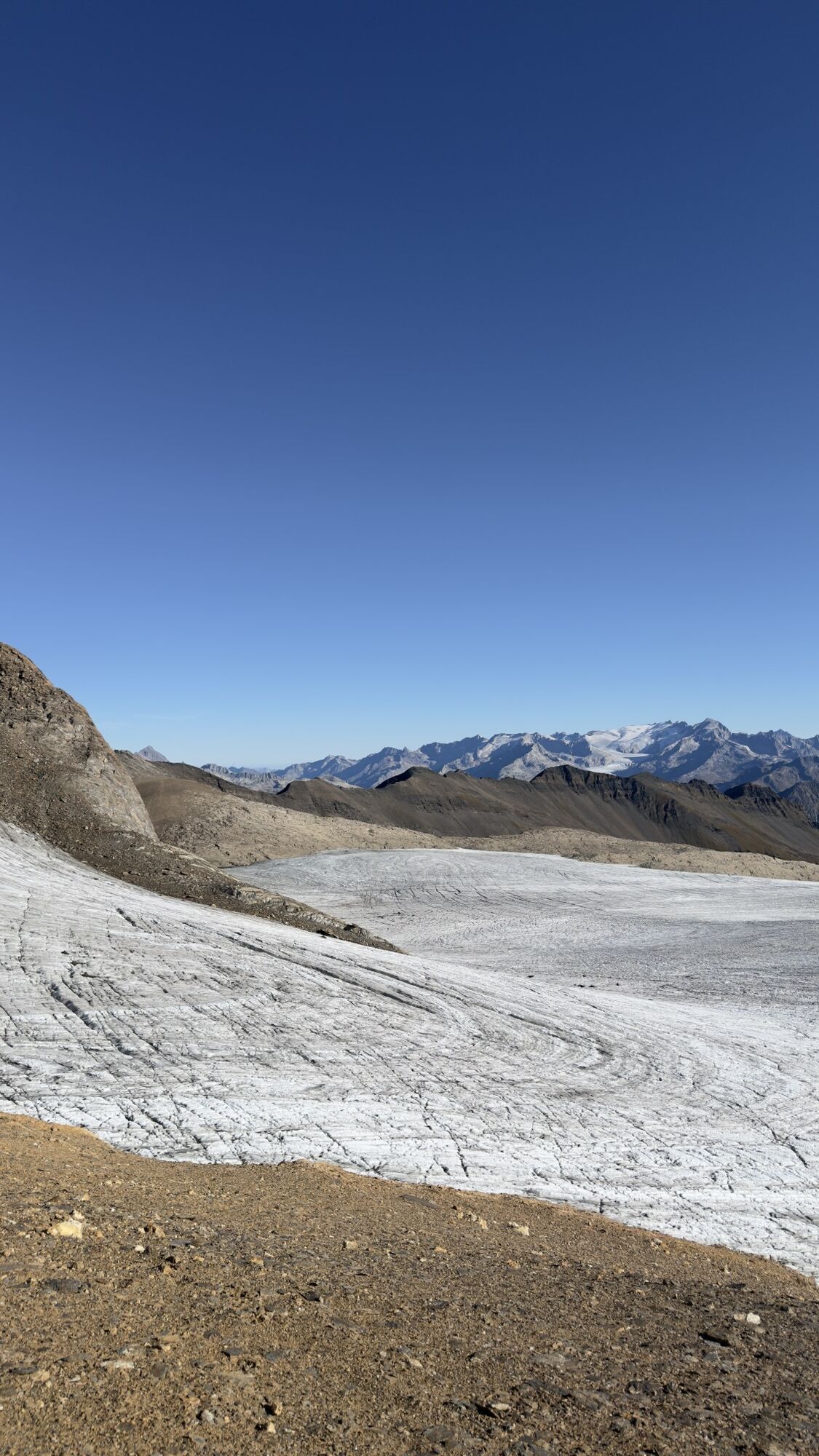
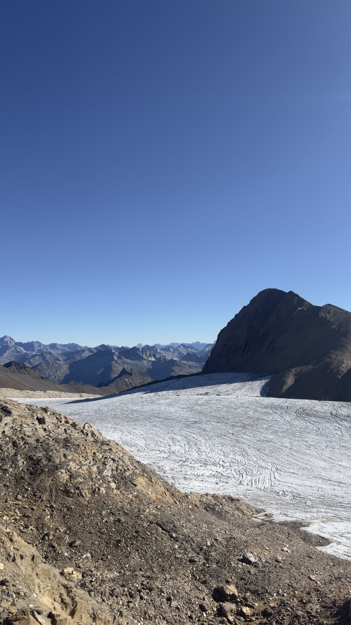
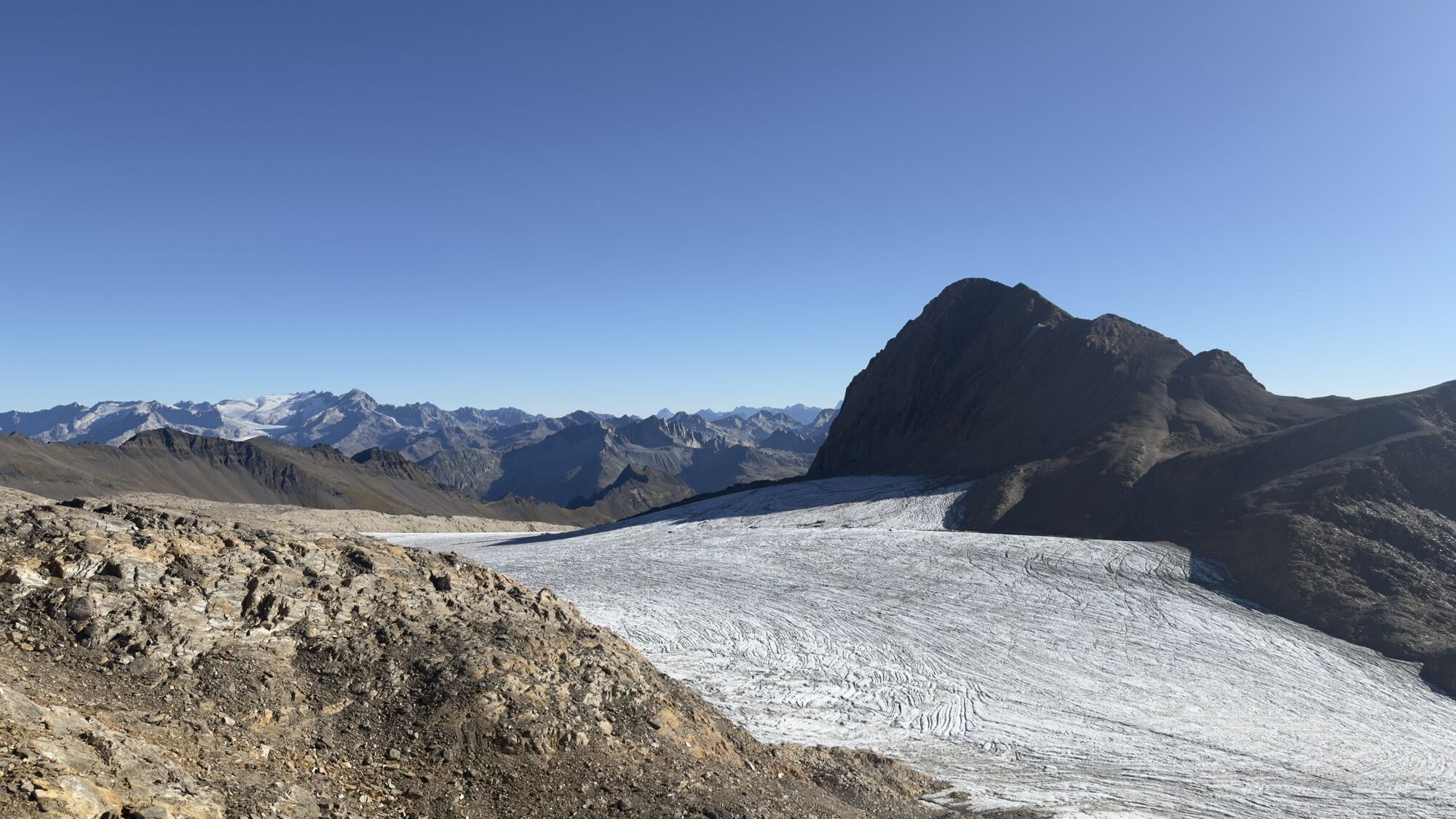
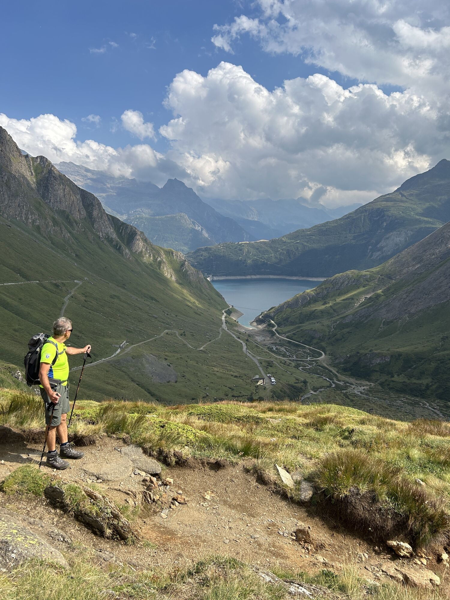
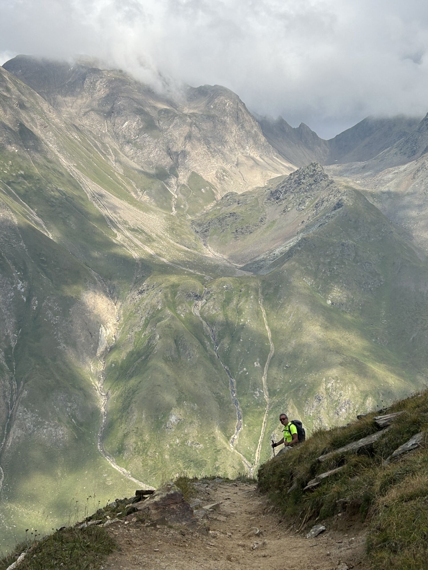
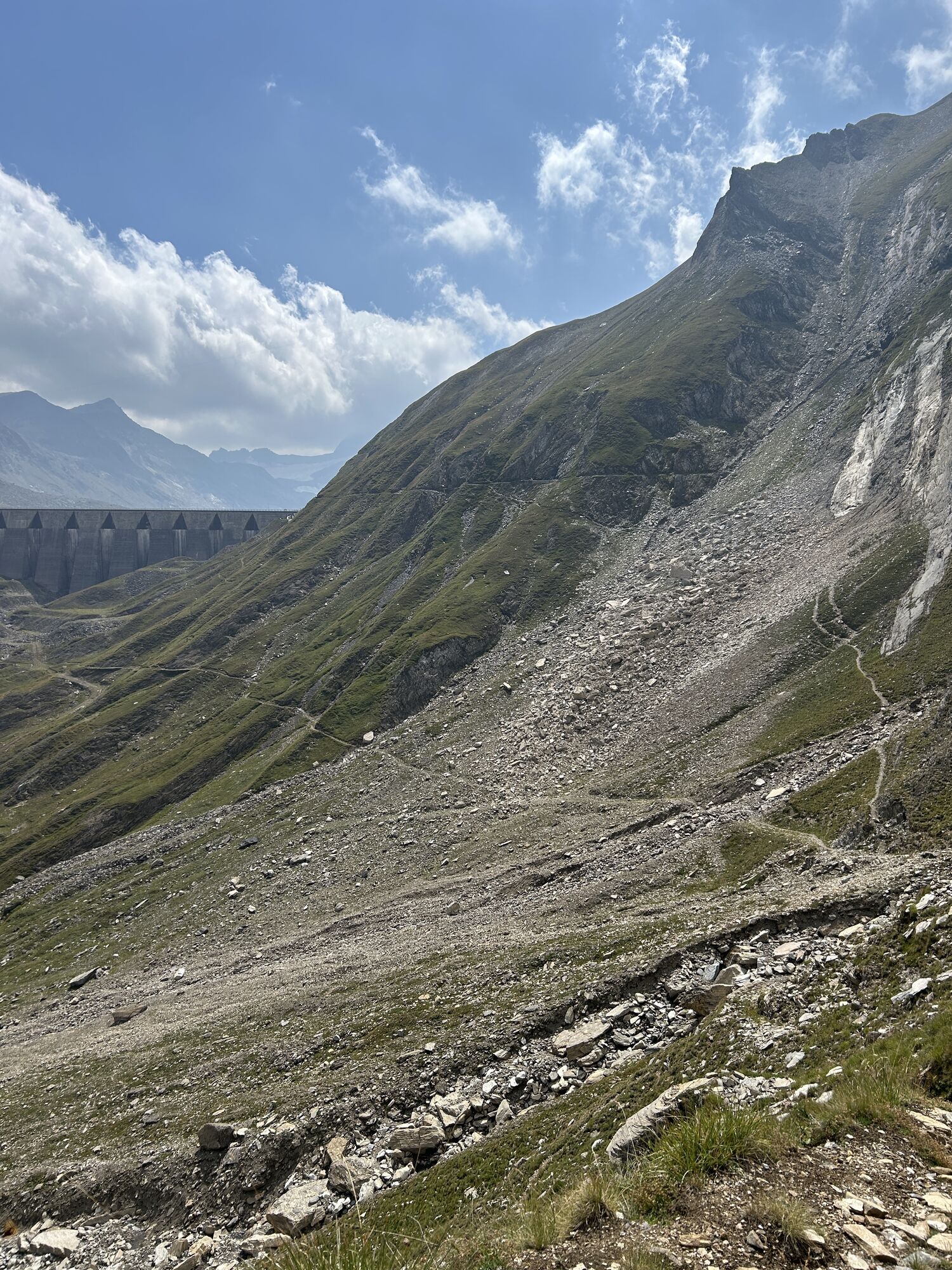
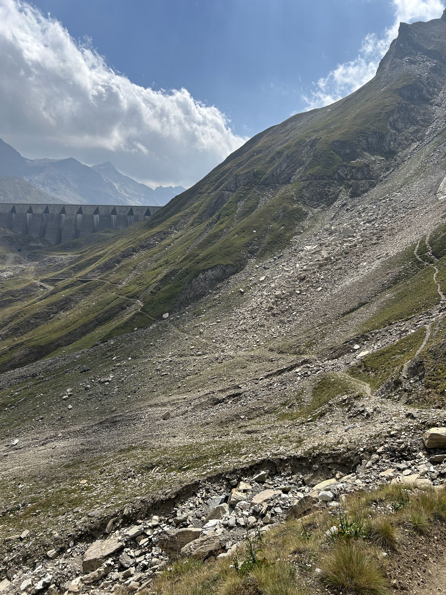
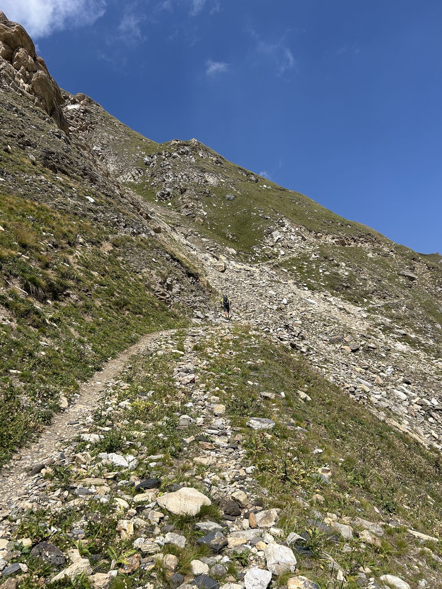
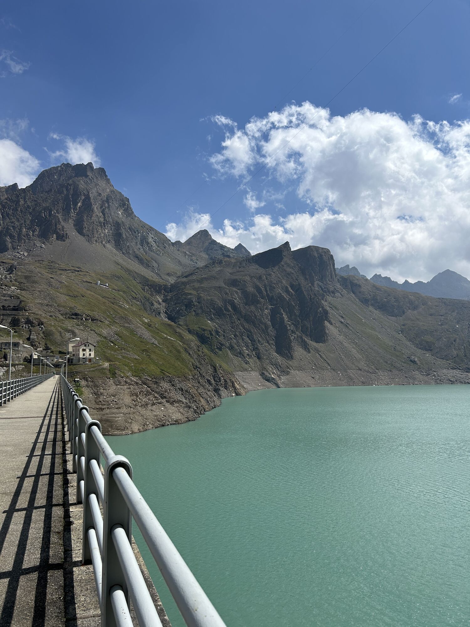
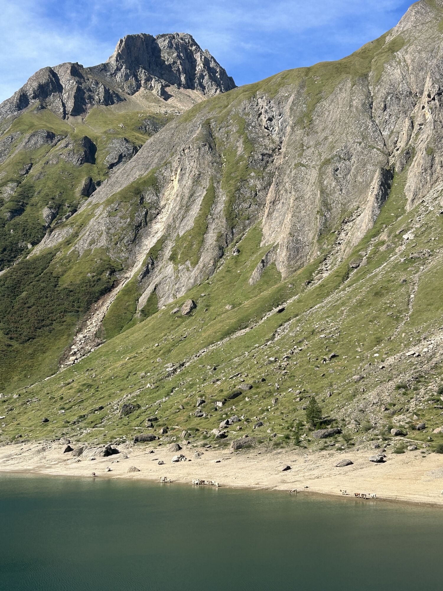
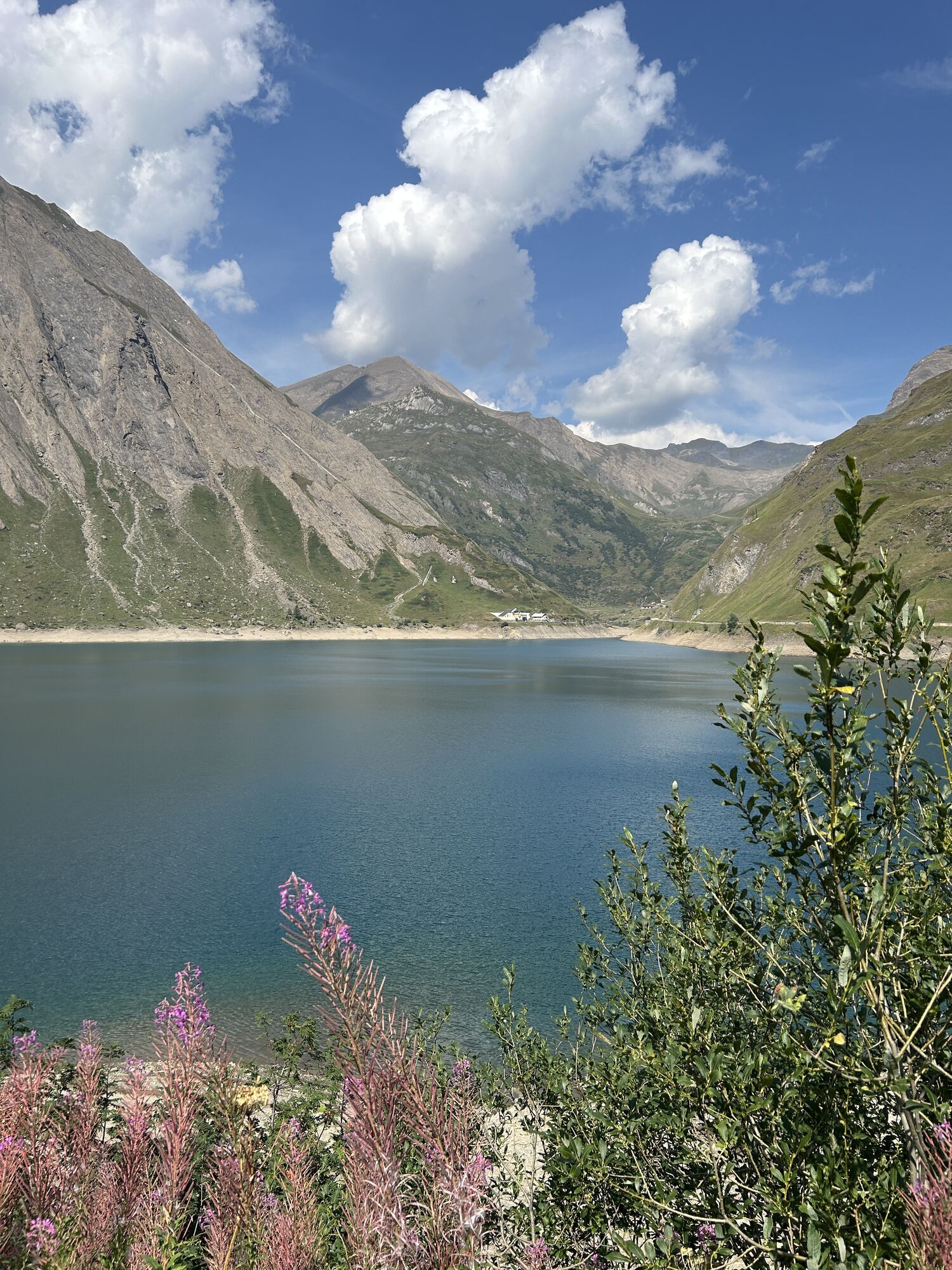
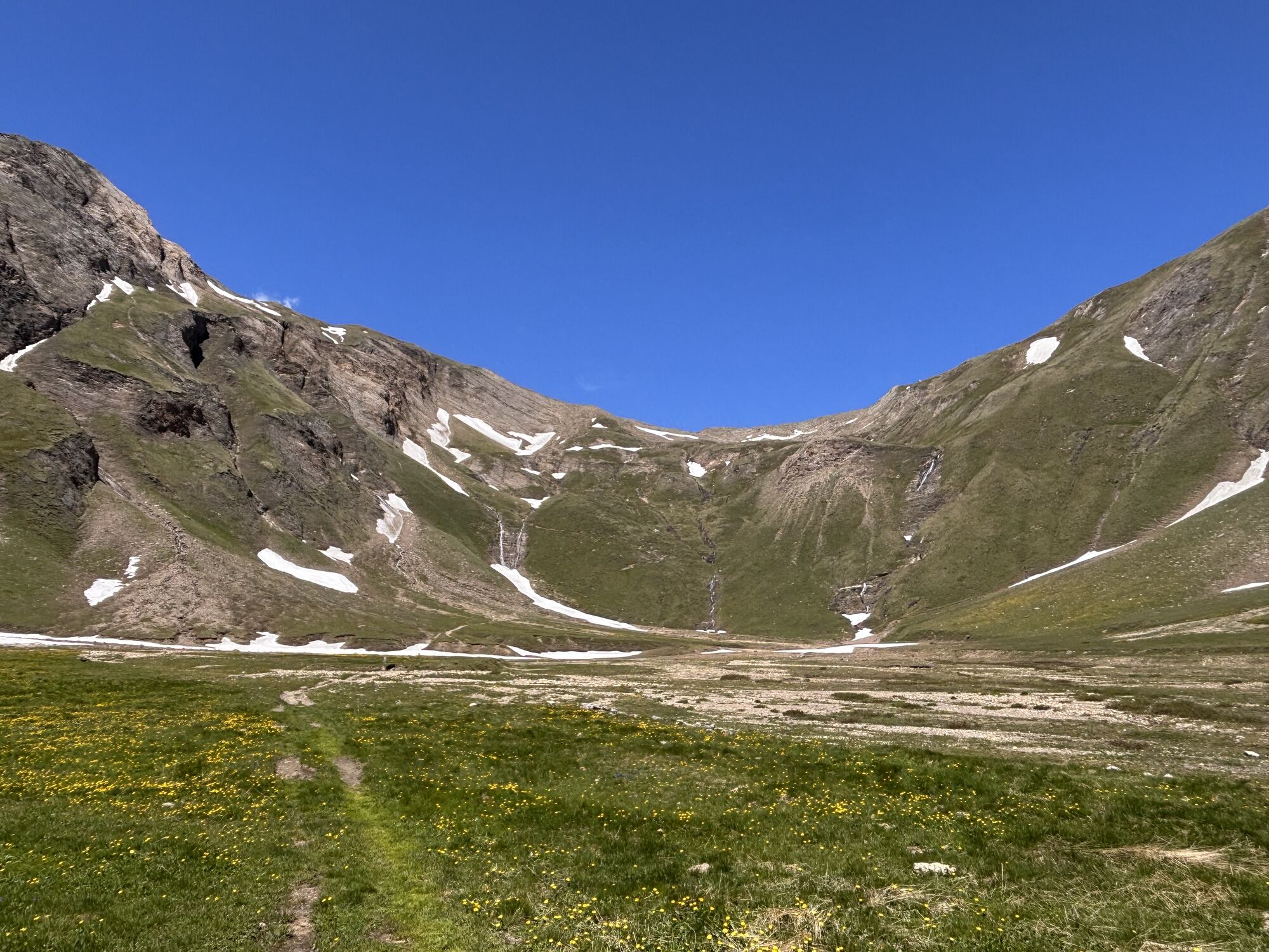
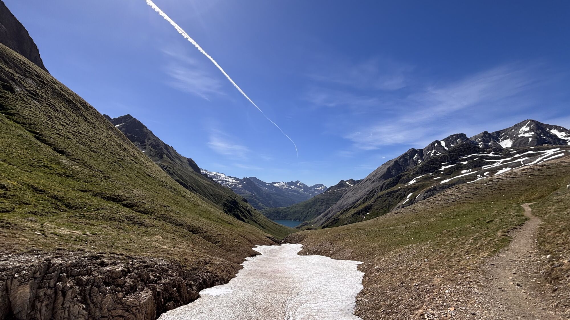
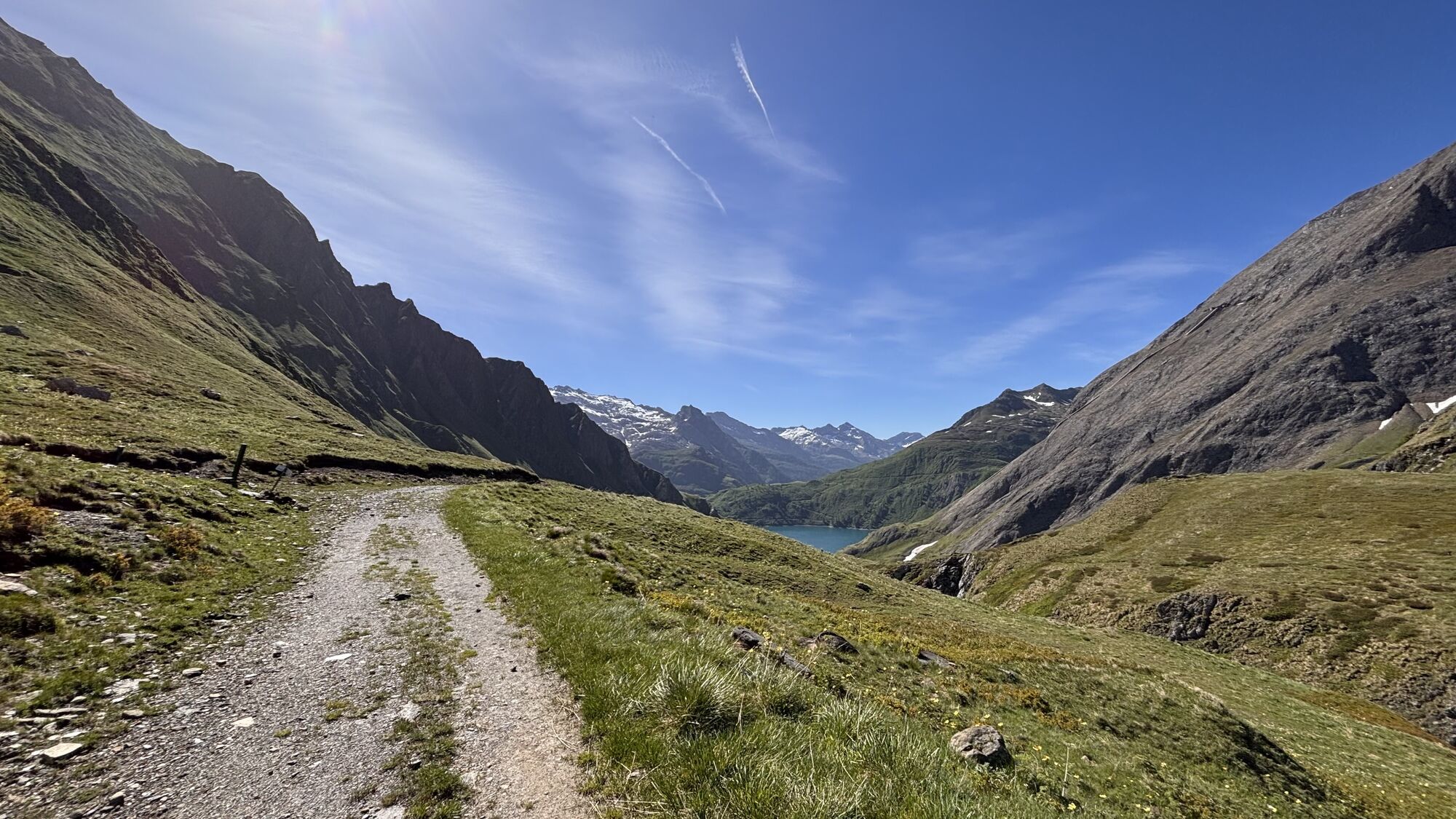

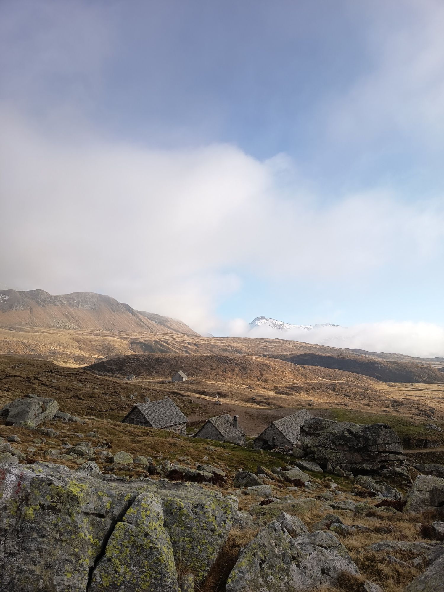
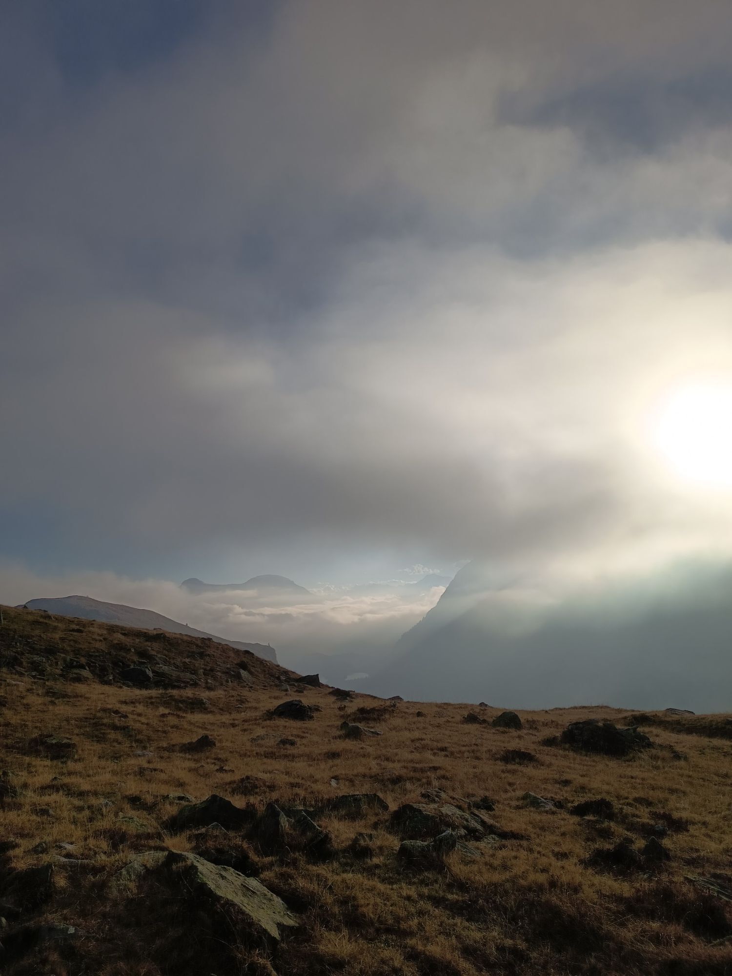
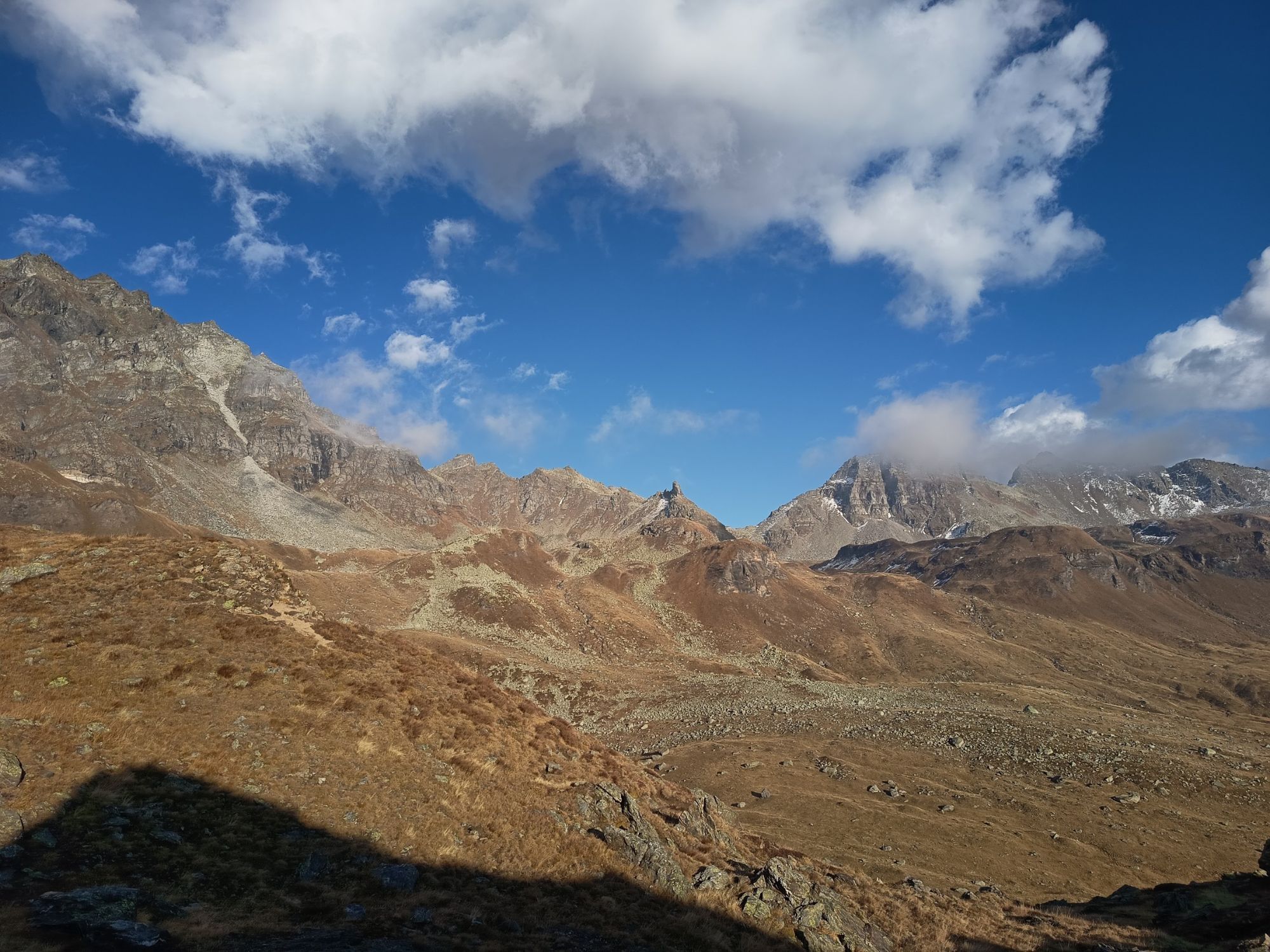
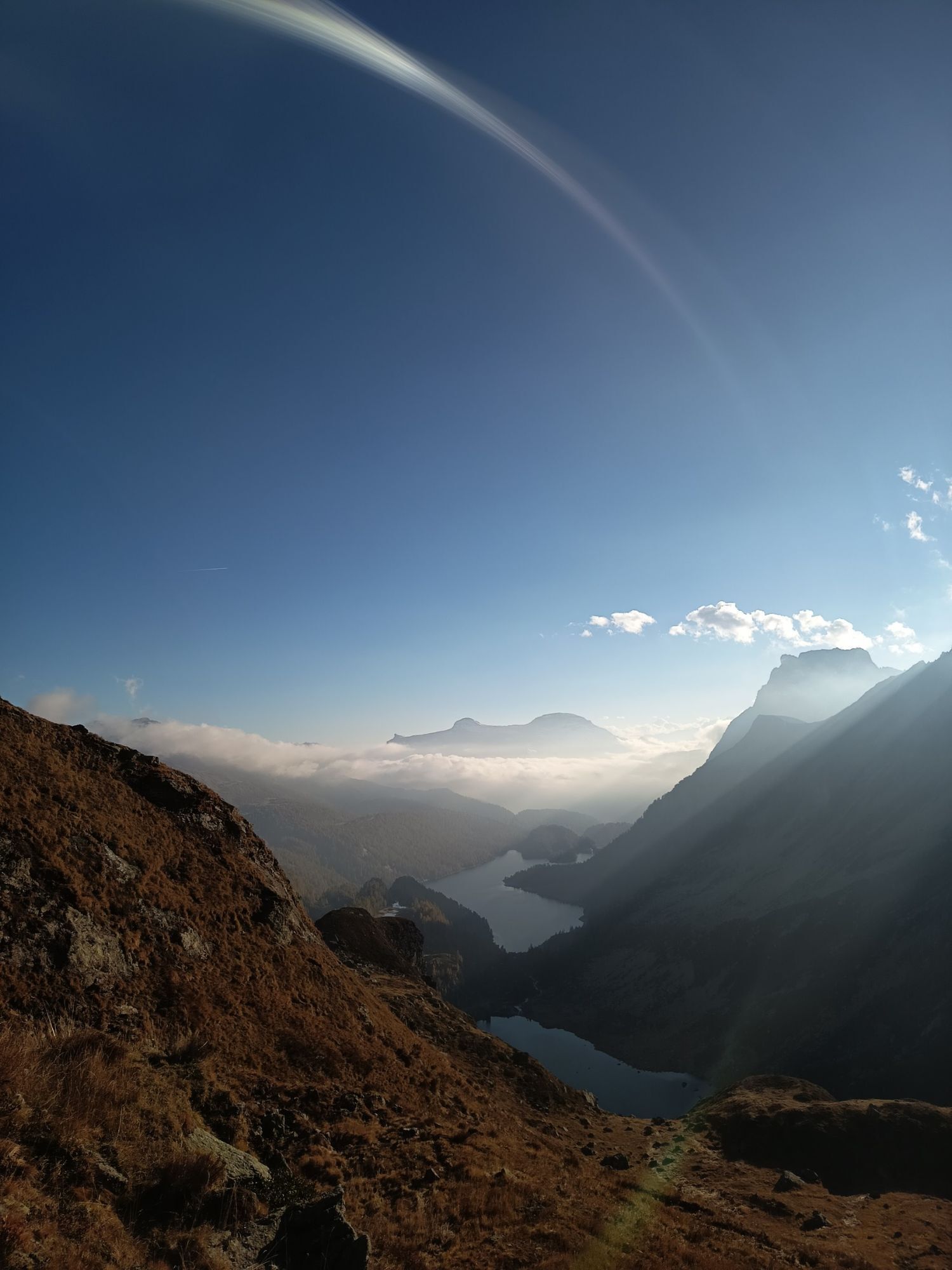
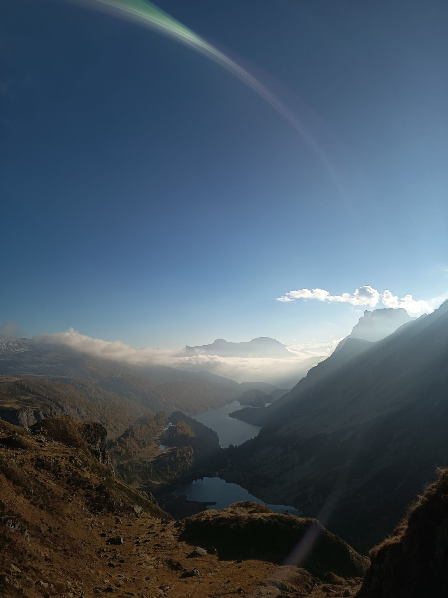
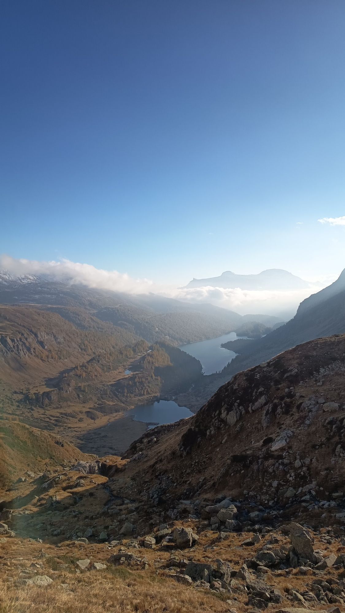
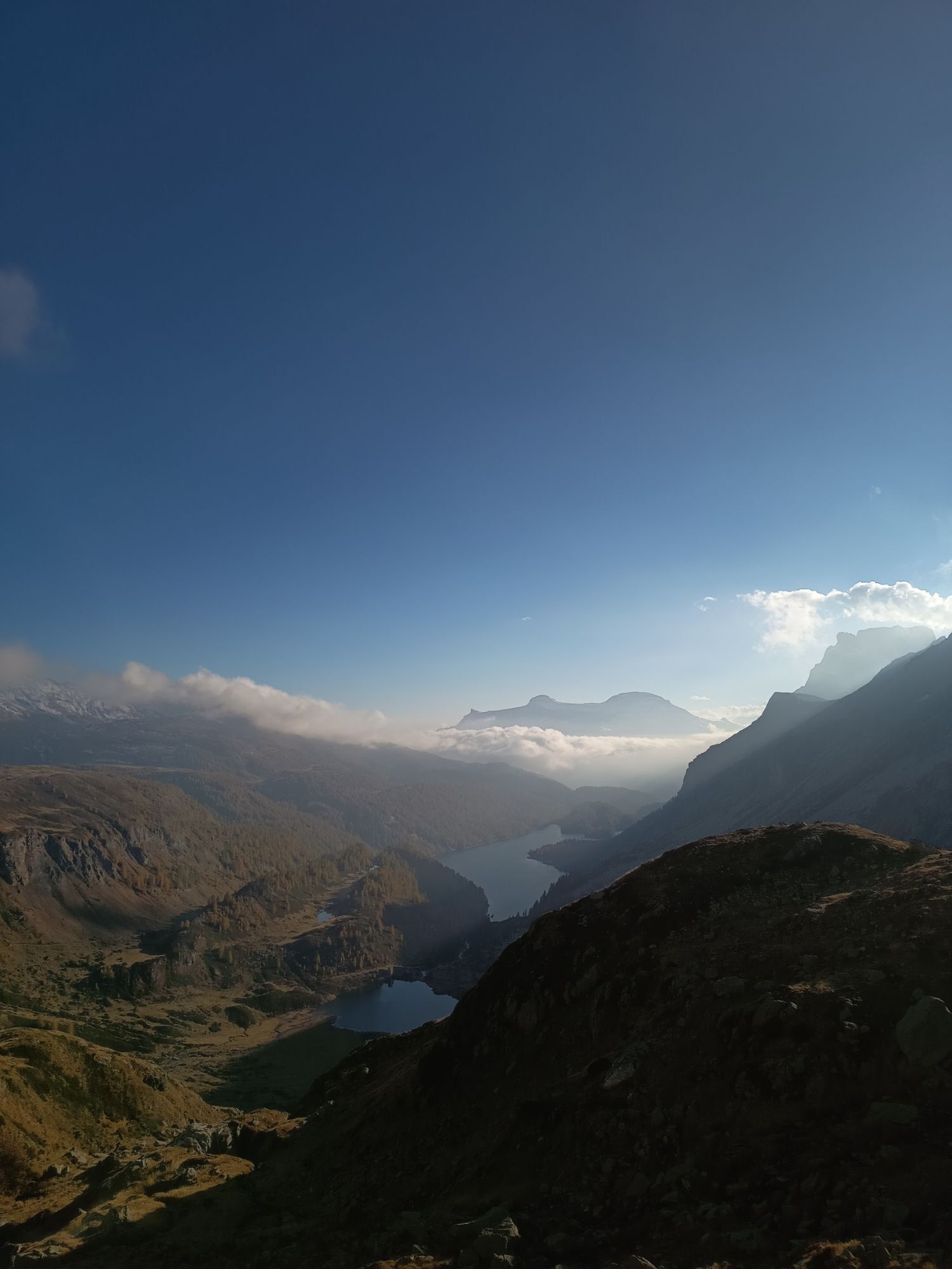
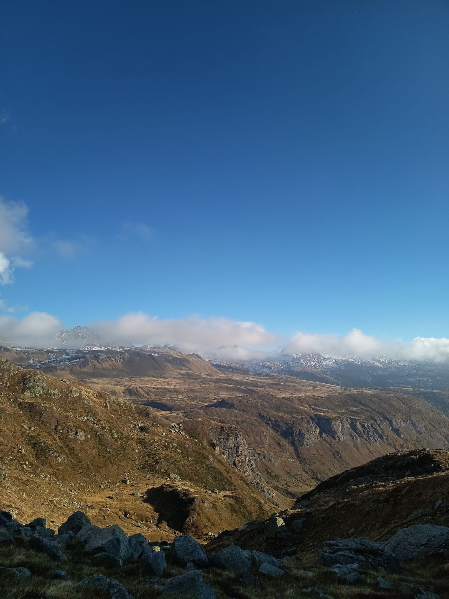
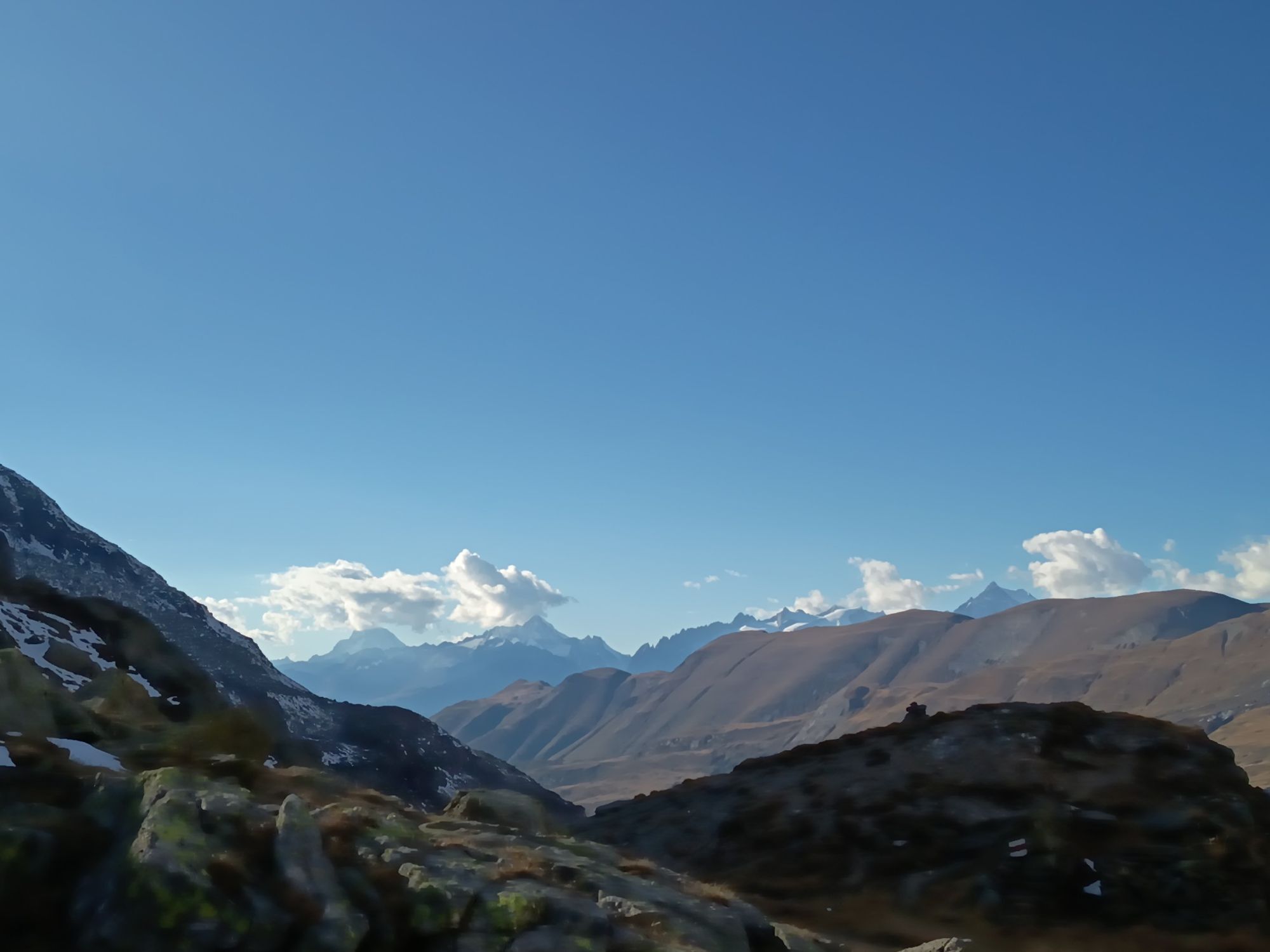
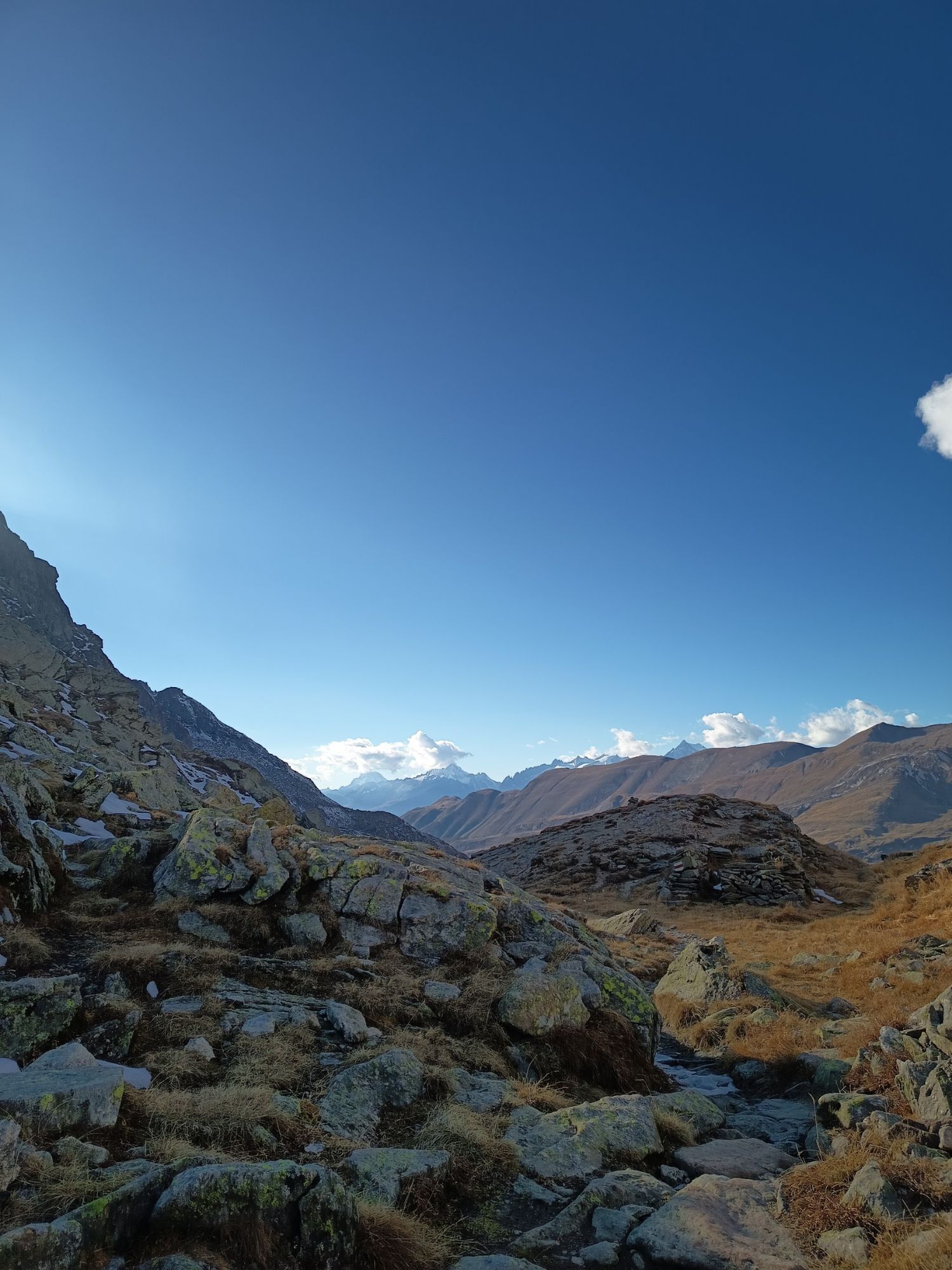
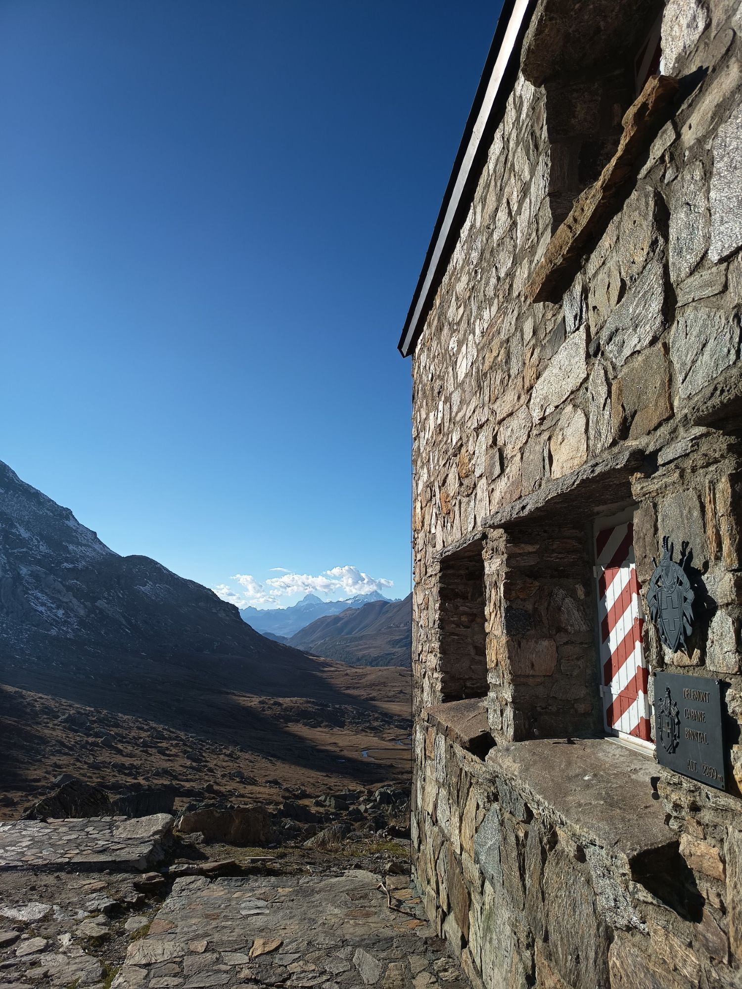

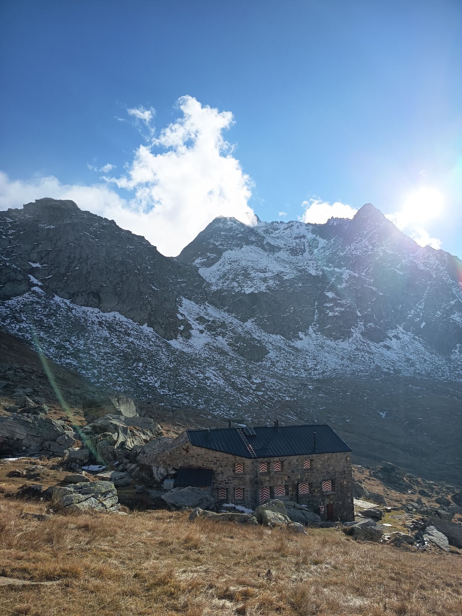
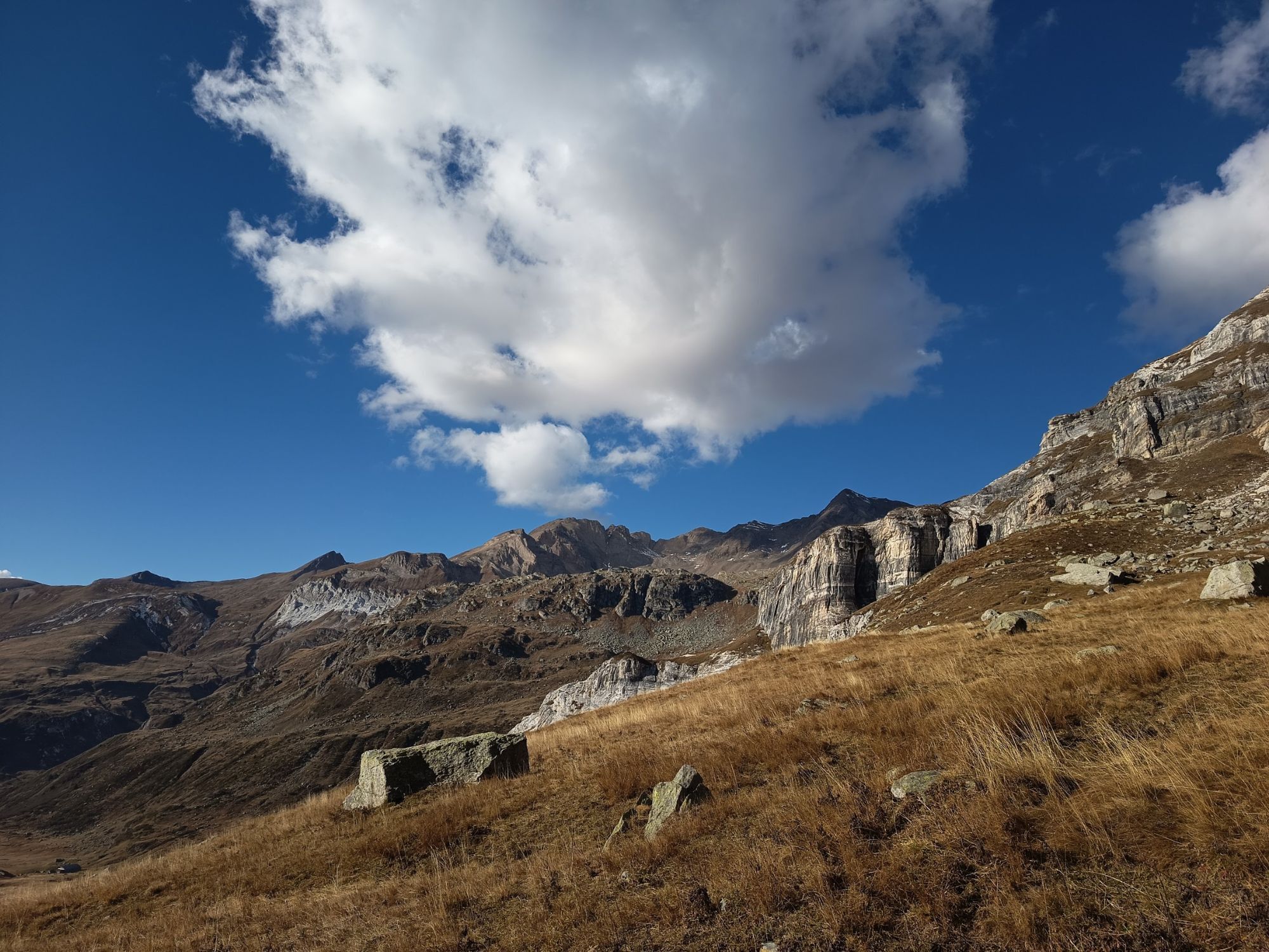
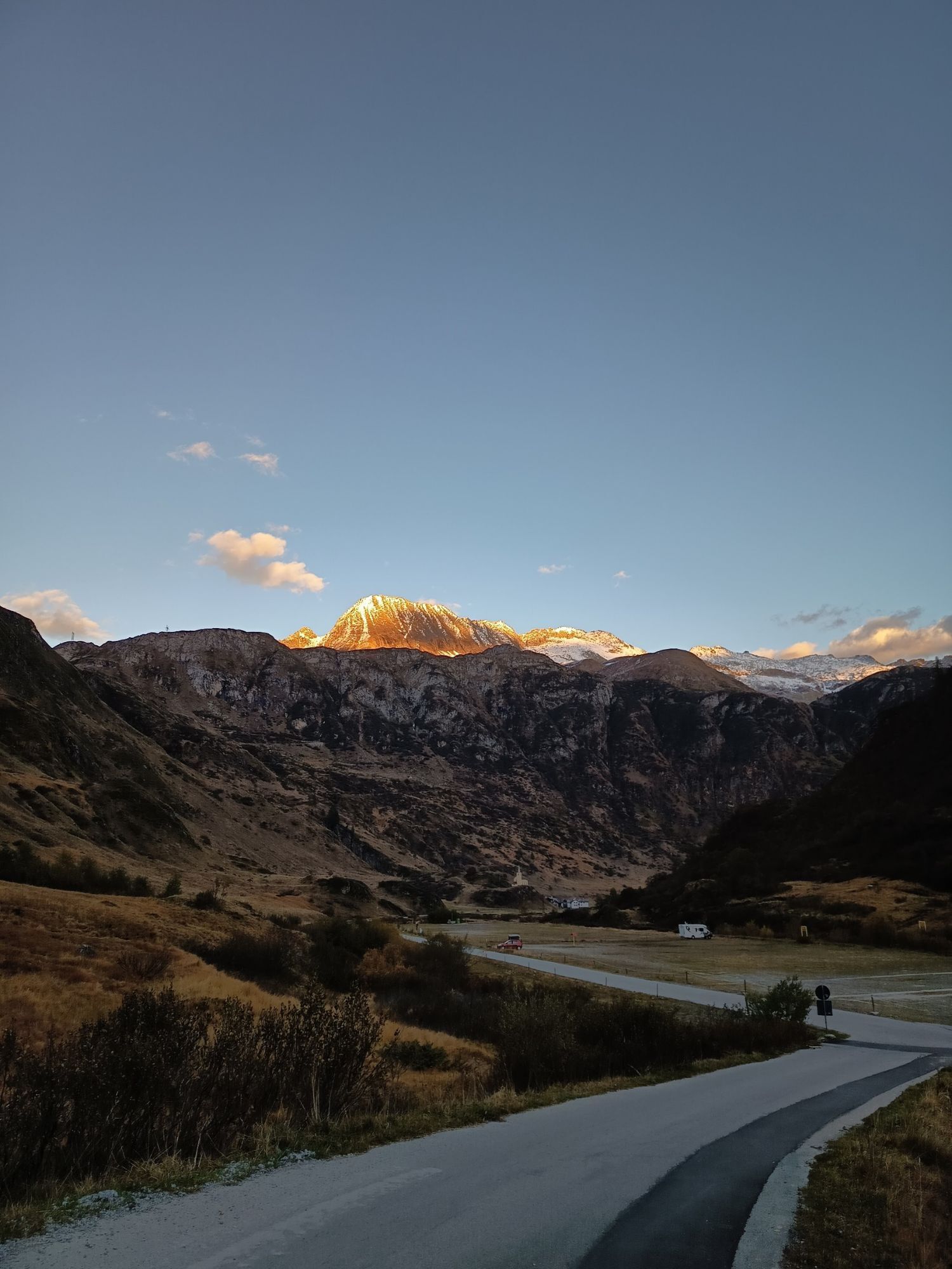
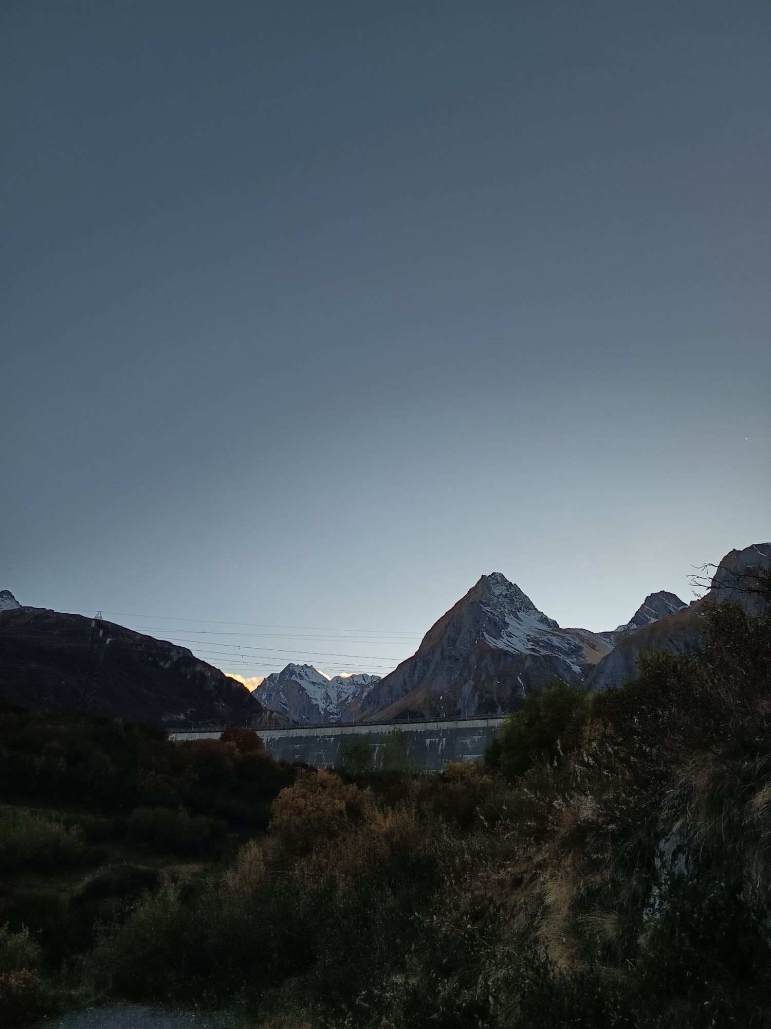
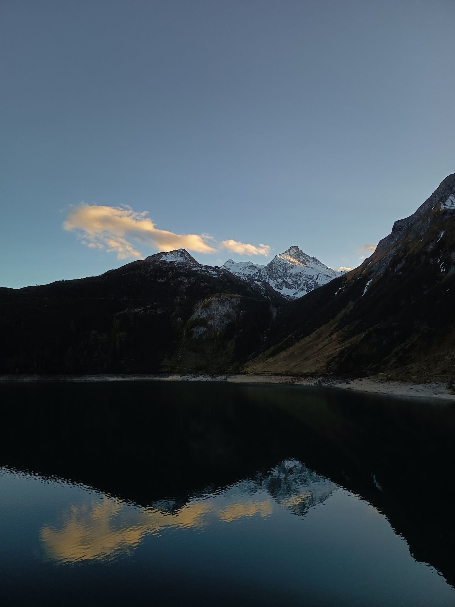
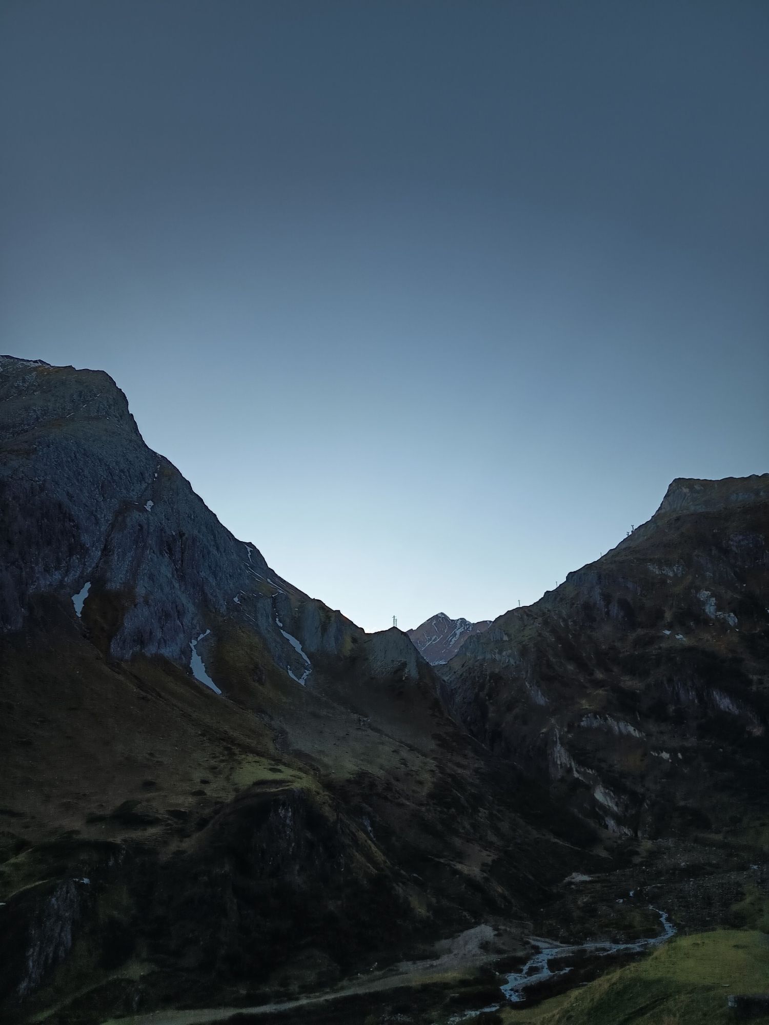
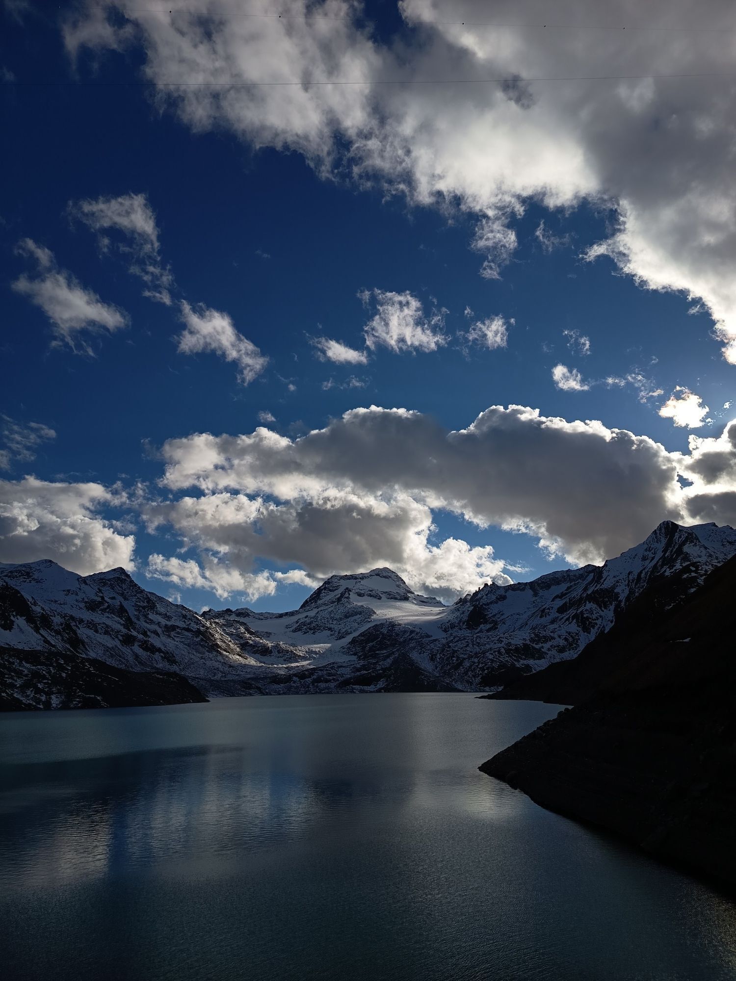
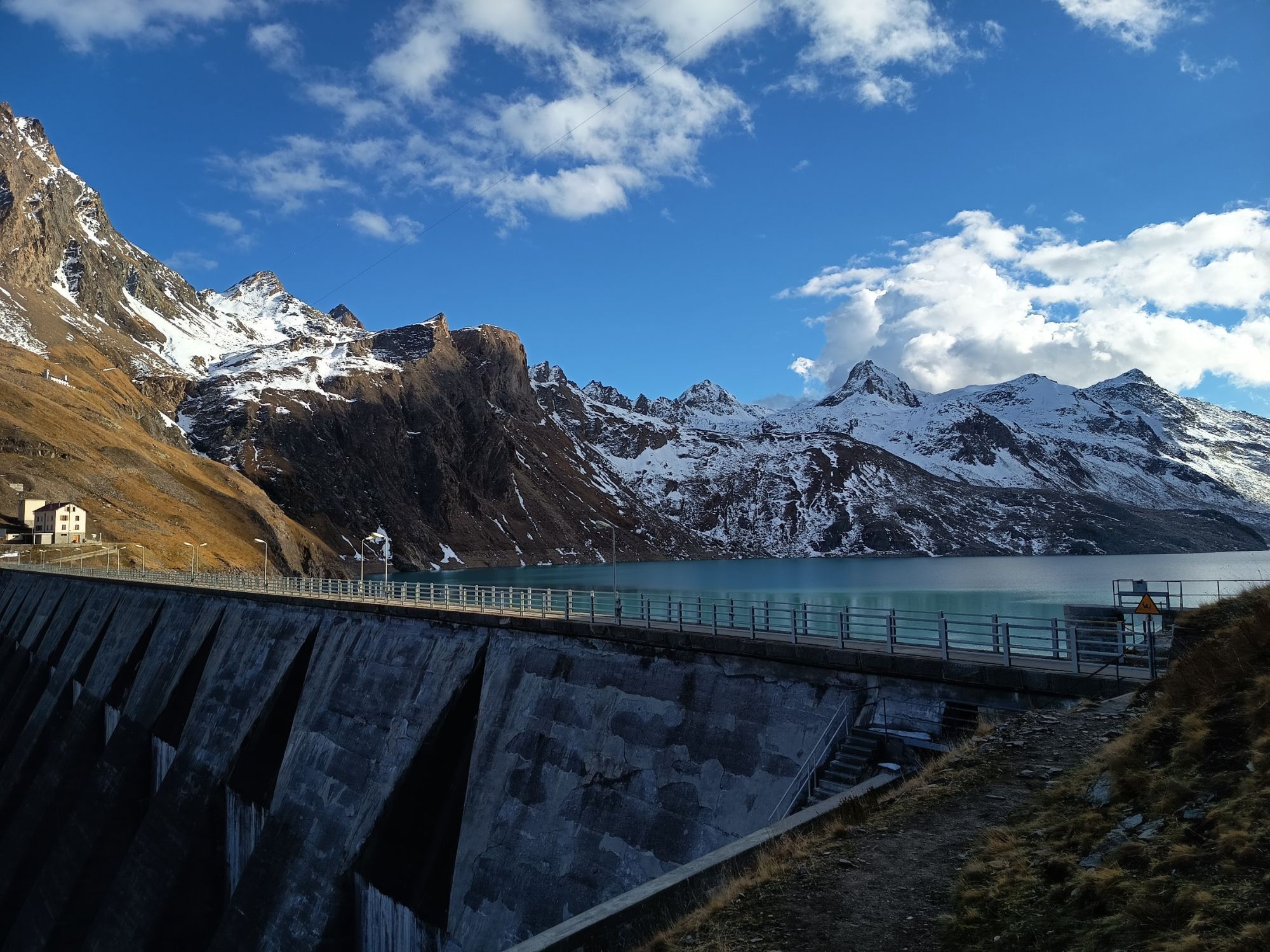
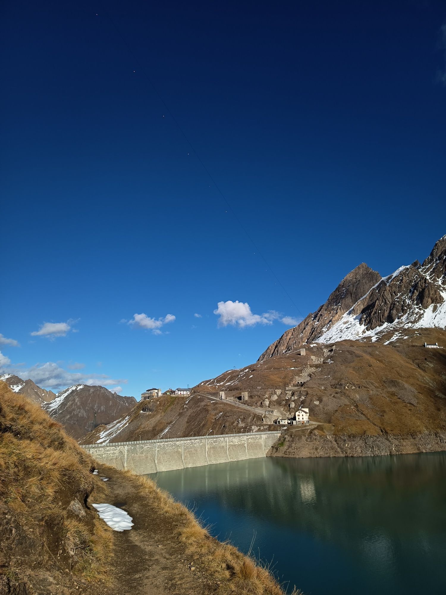
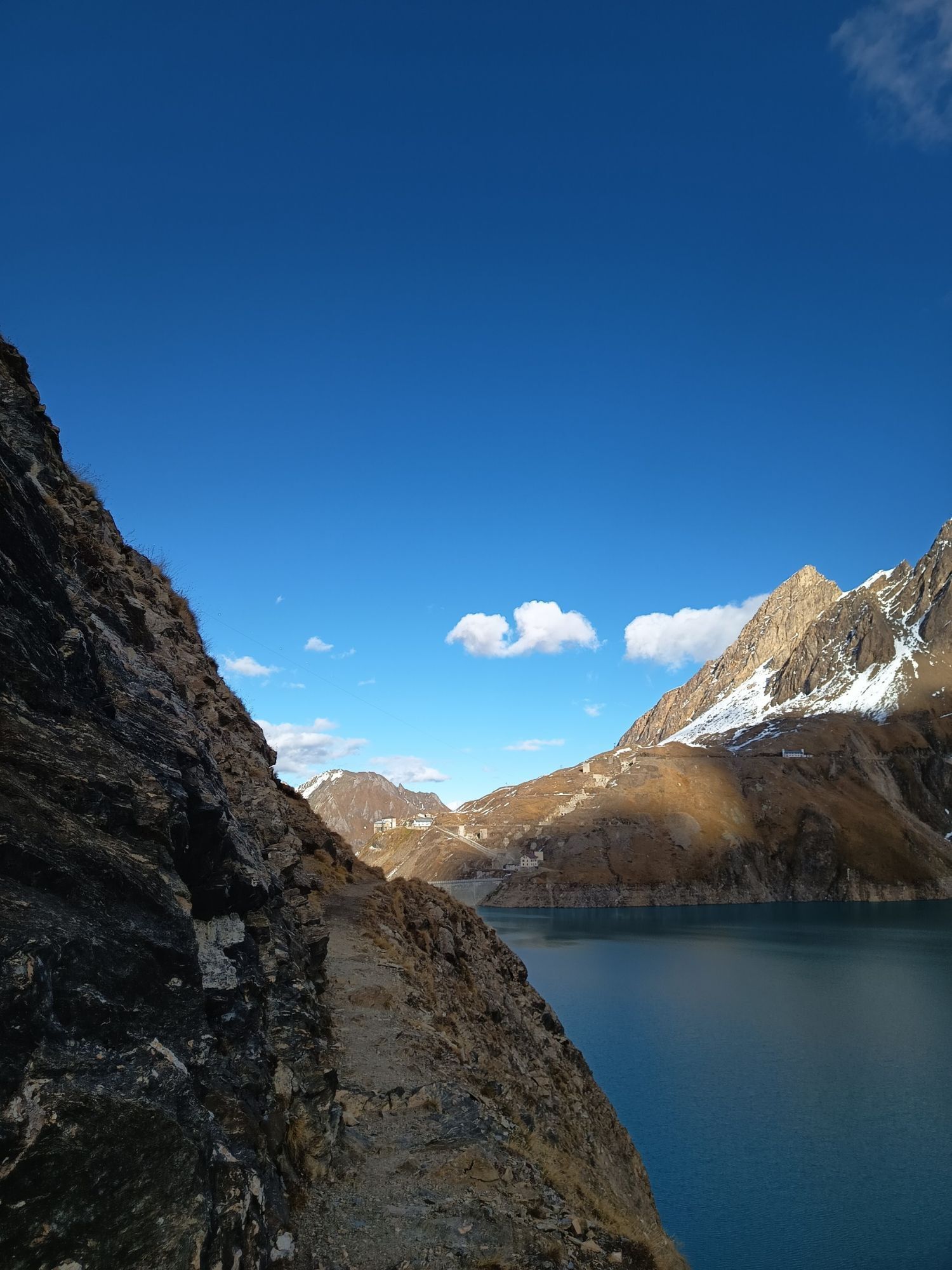
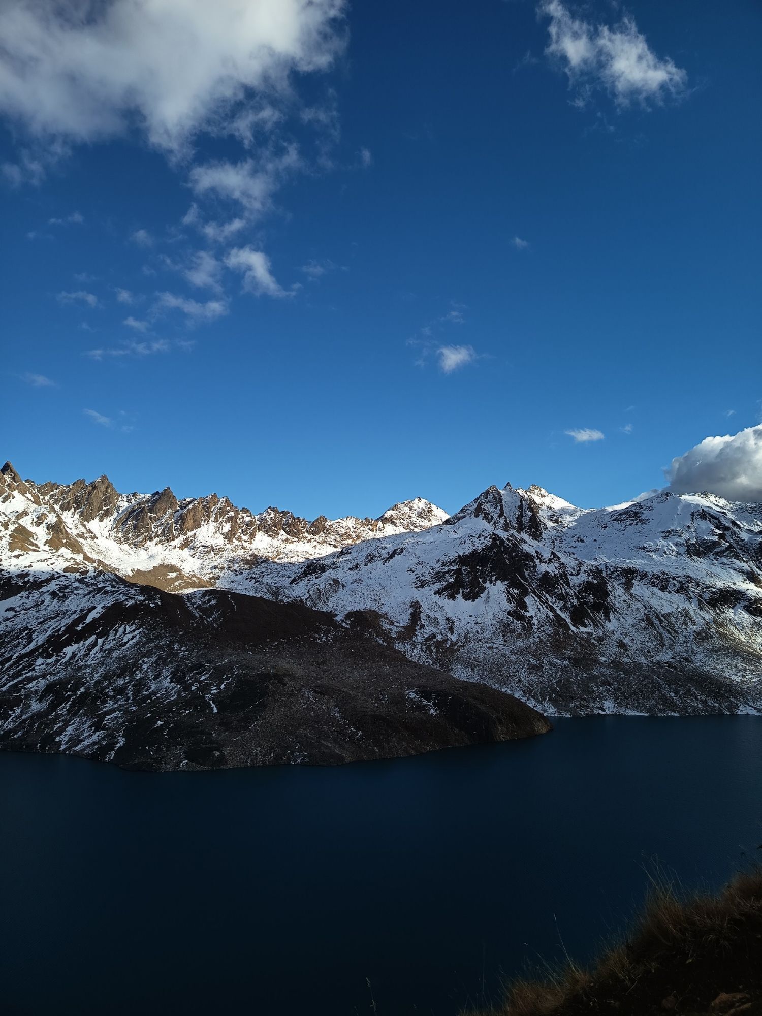
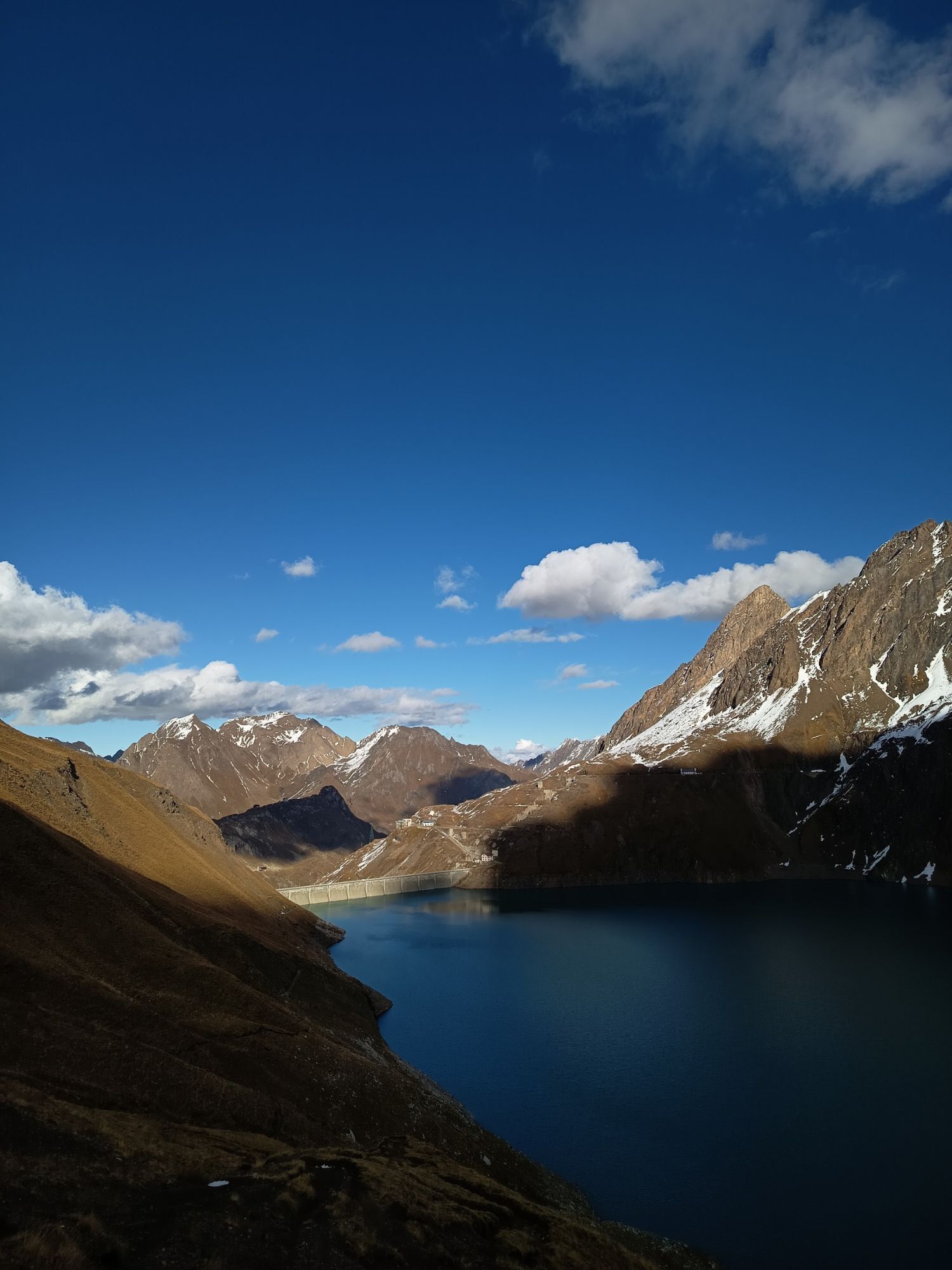
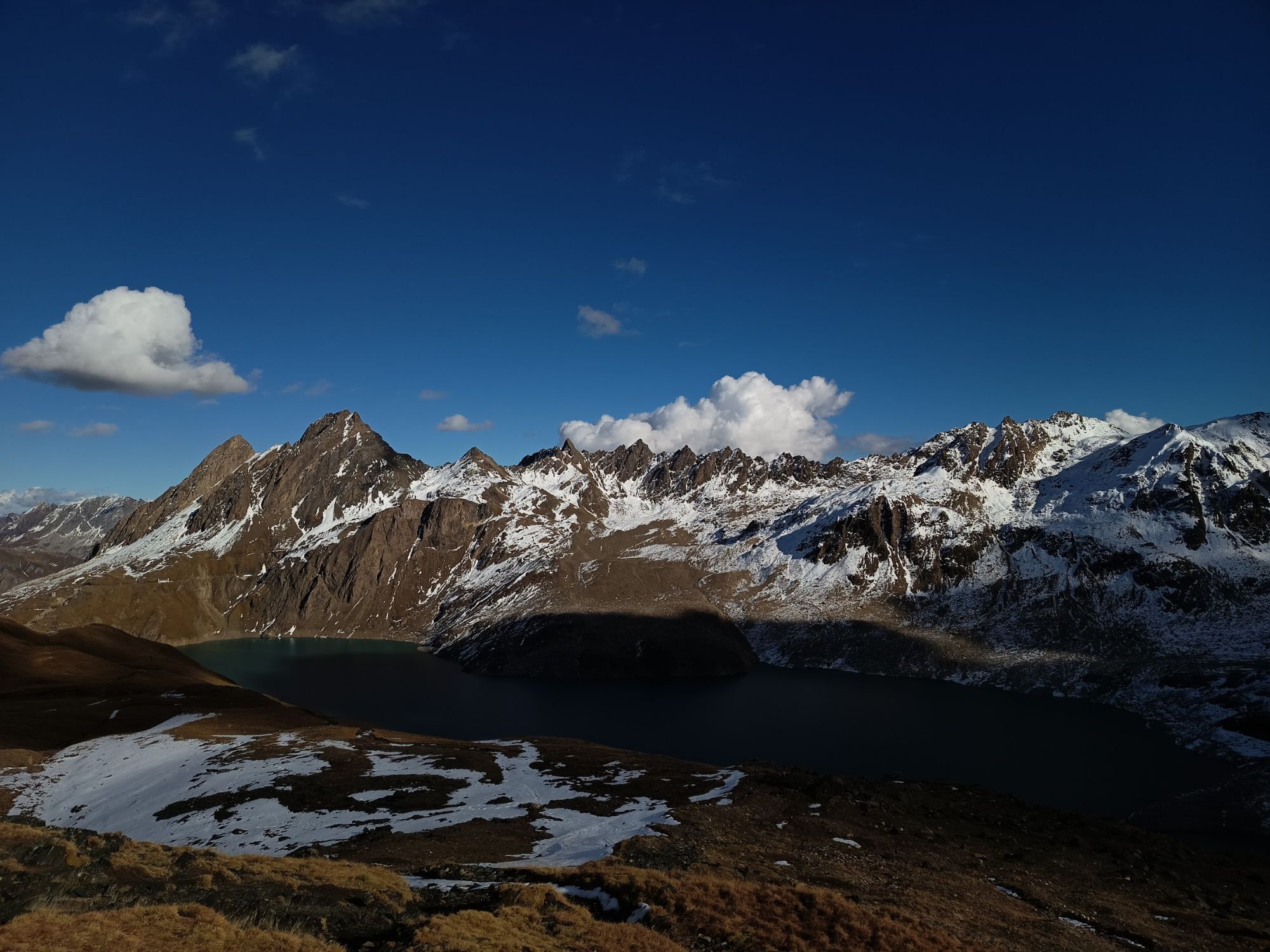
The Blinnenhorn towers at the far end of the Blinnental, which leads south from Reckingen. The immediate surroundings of the mountain impress with their magnificent glaciation. Around the large, cold mountain...
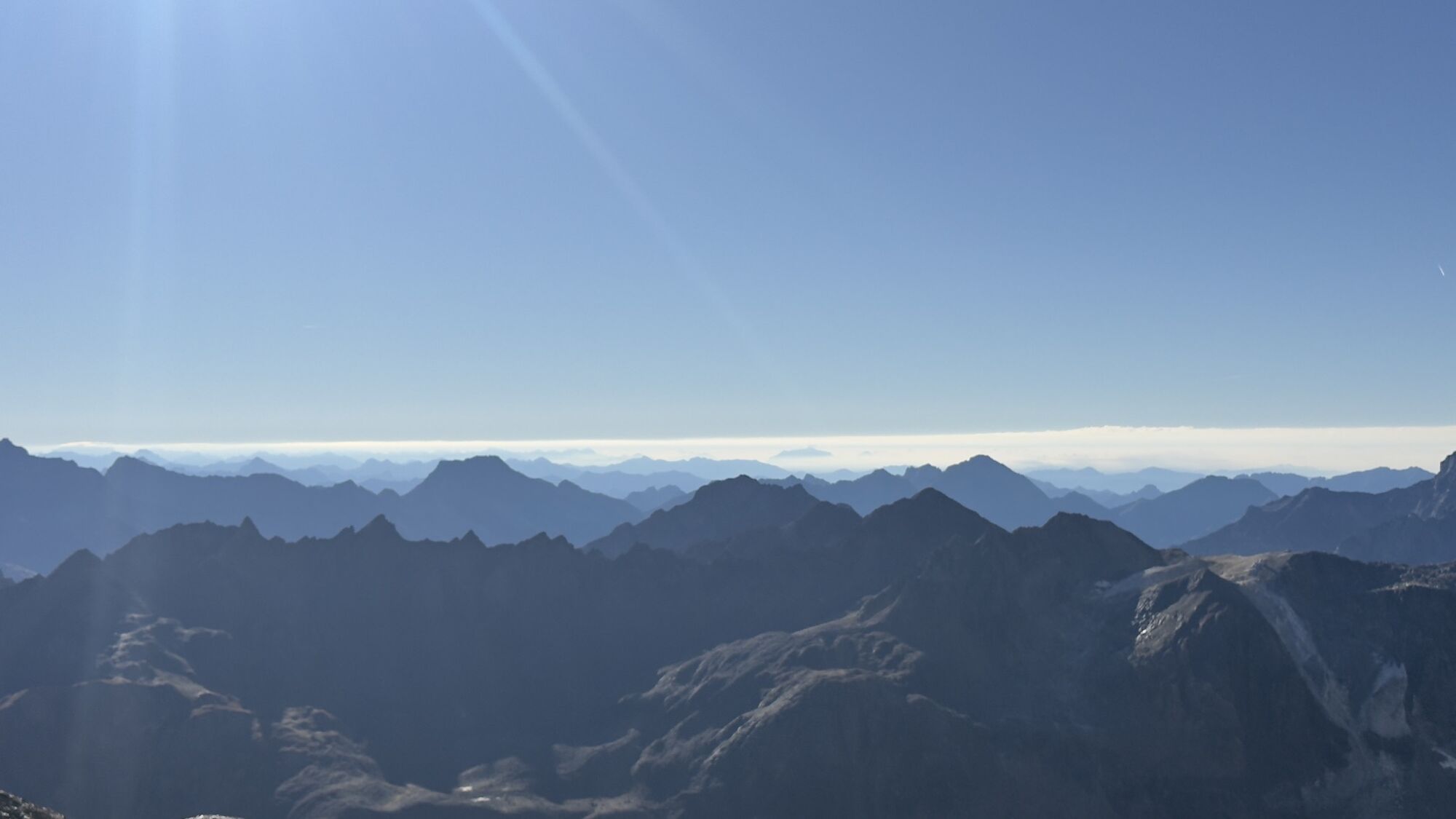
The Blinnenhorn towers at the far end of the Blinnental, which leads south from Reckingen. The immediate surroundings of the mountain impress with their magnificent glaciation. Around the large, cold mountain of Goms are several secluded side valleys, such as the Blinnental, Vallone di Nefelgiù, or Rappental, as well as the inhabited valleys – Goms, Binntal, and on the Italian side Pomatt (Val Formazza).
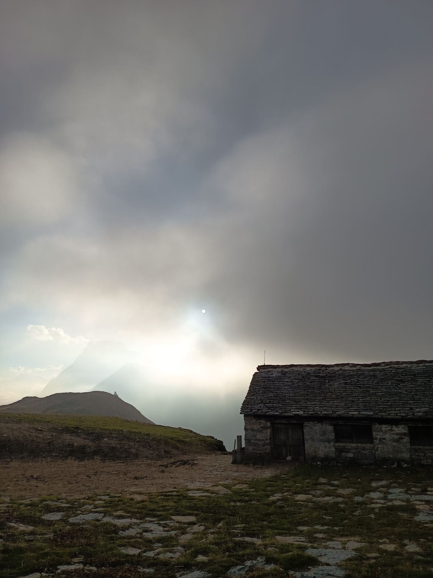
Worth seeing are the still largely intact mountain villages. The two old trade routes over the Gries Pass and the Albrun Pass connect the Goms with the Italian Pomatt and the Veglia-Devero Nature Park. Today, the mountain valleys face depopulation, a fate that is not new. Already in the 12th and 13th centuries, Goms was one of the starting points for the Walser emigration.
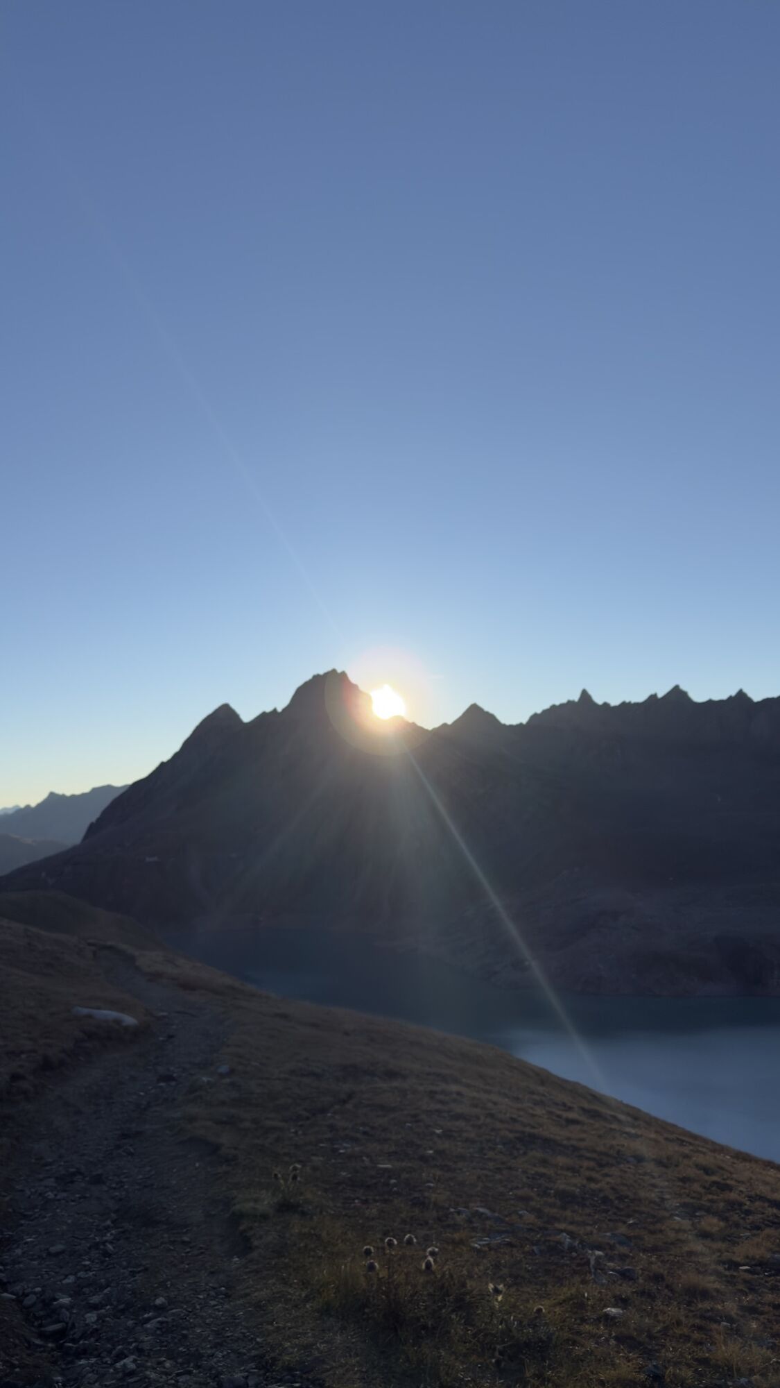
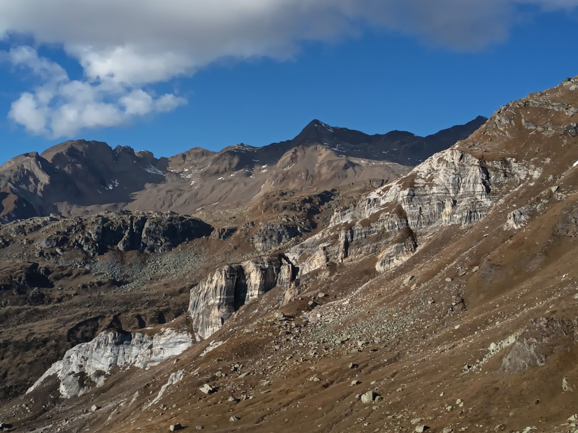
The numerous lakes, alpine pastures with their diverse flora, and various rock formations make the charm of the magnificent mountain landscape: the alluvial landscape Bättelmatt, the Oxefeld, a moorland of national importance, the deep blue reservoirs Lago Vannino, Lago di Morasco and Lago di Sabbione, as well as rocks in the most diverse colors and shapes.

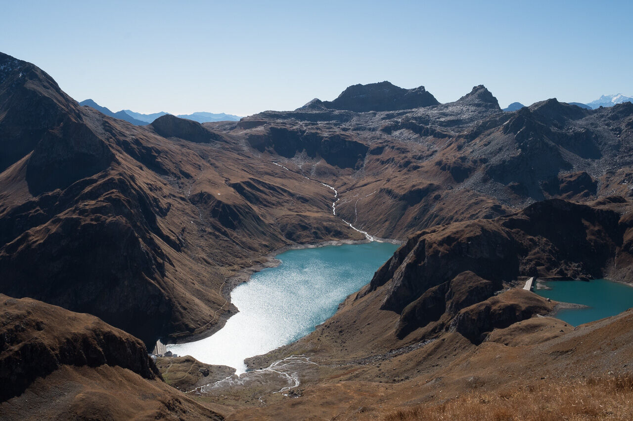
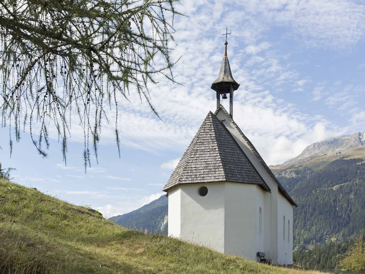
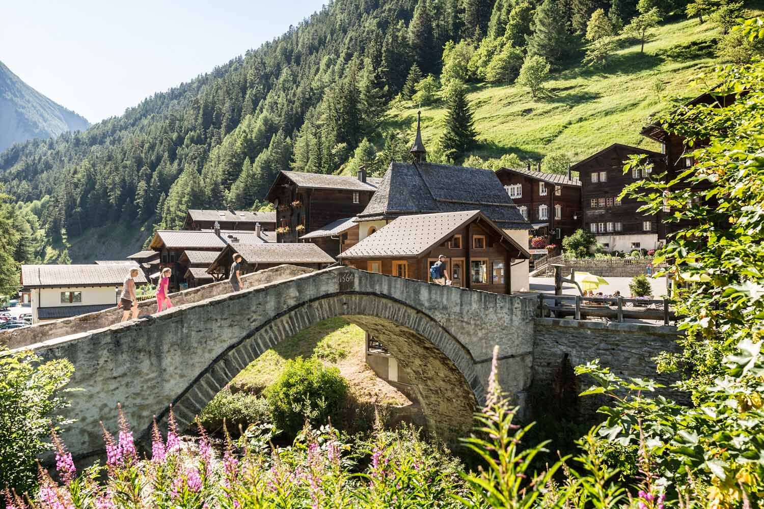
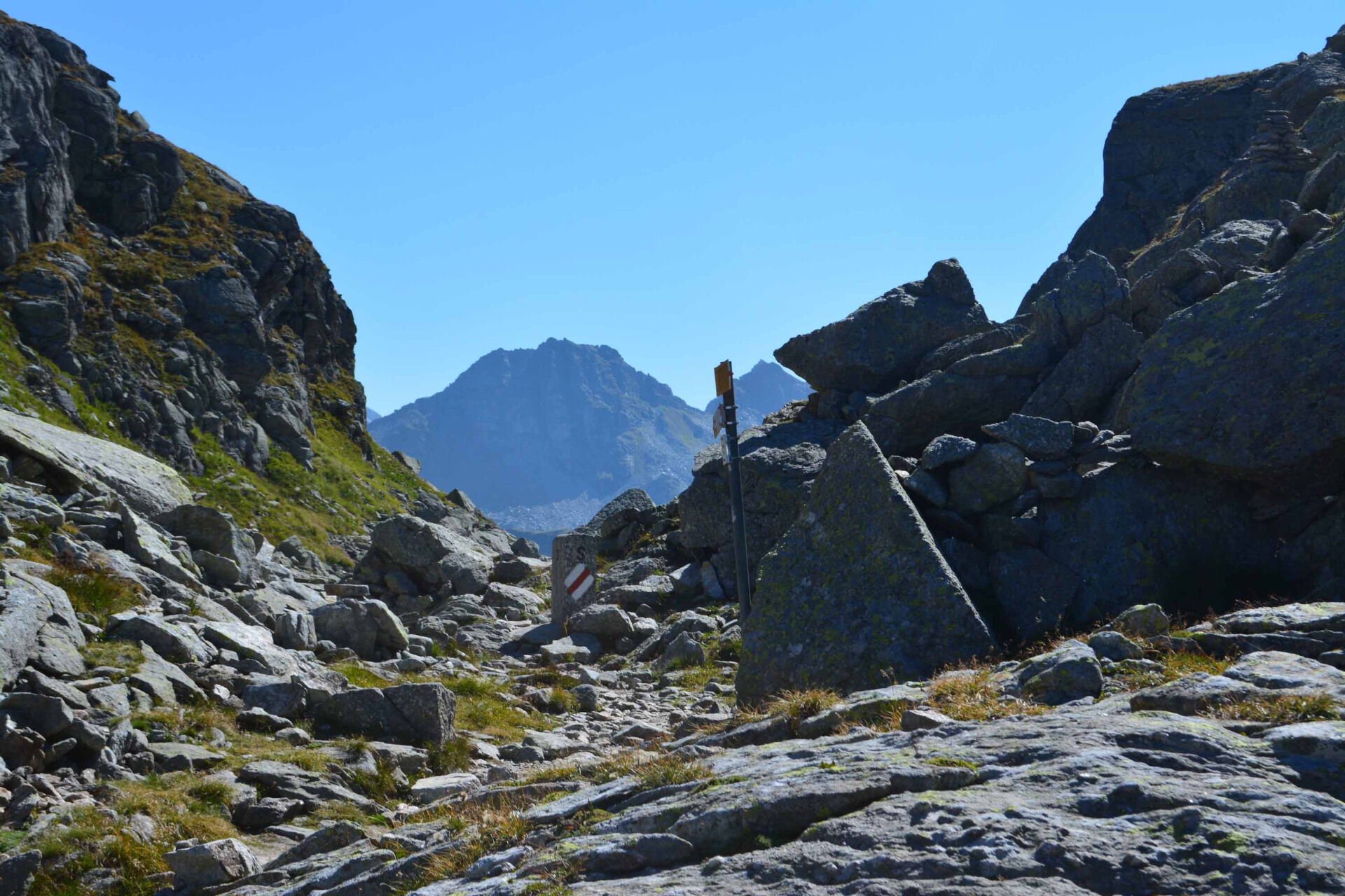
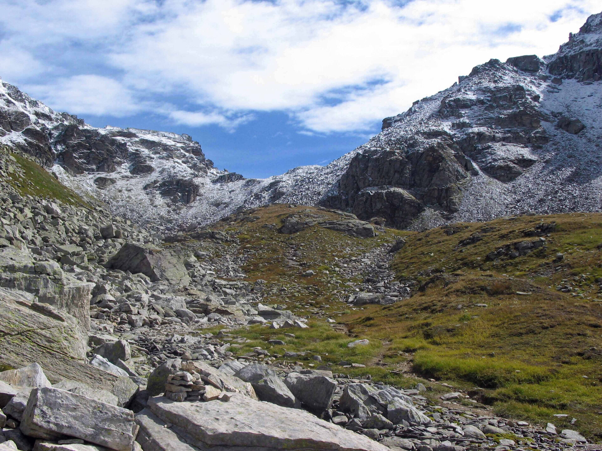
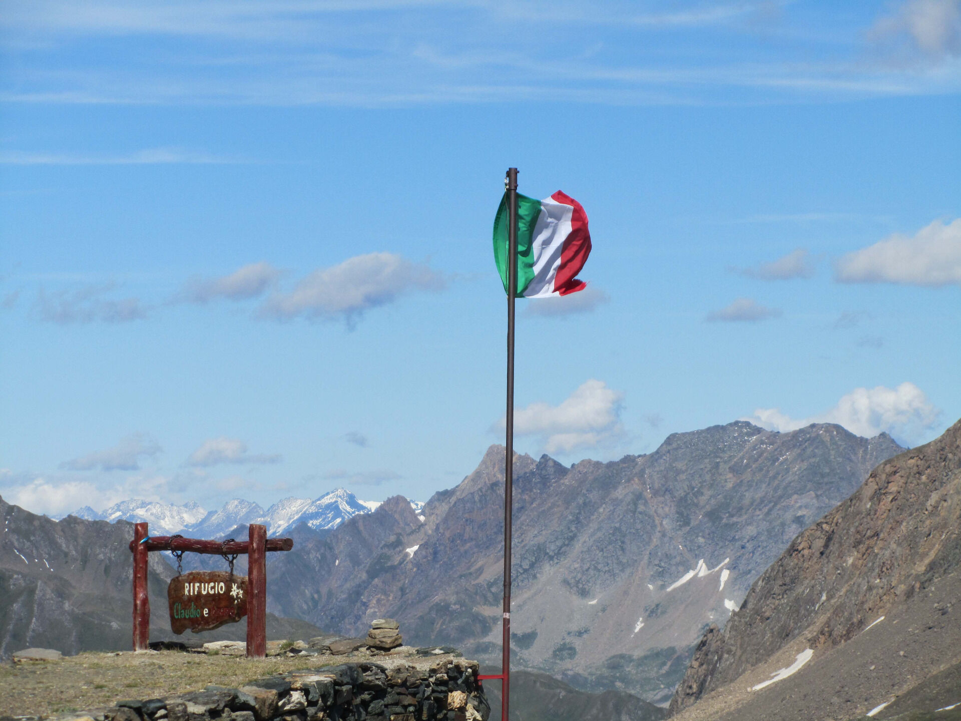
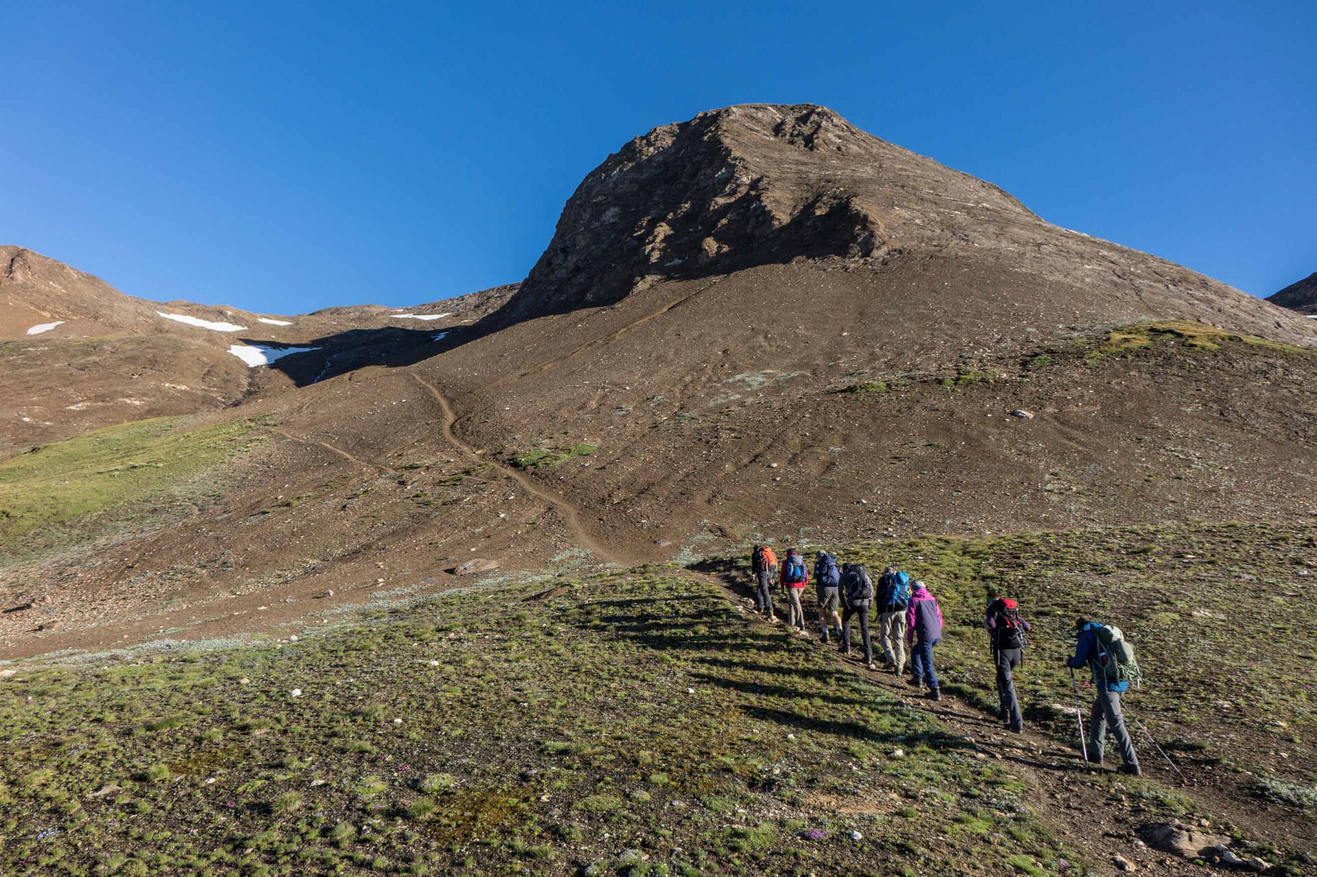
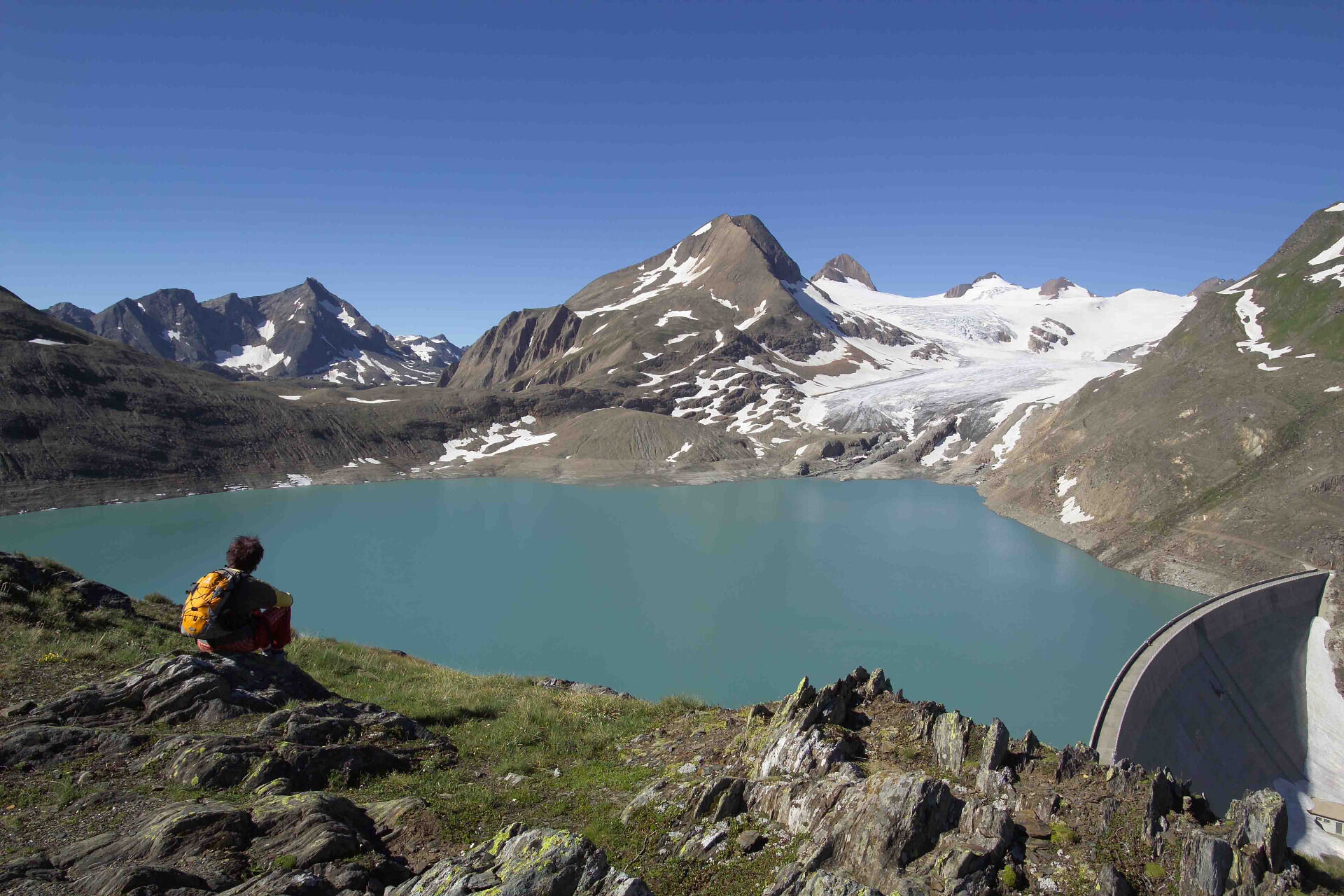
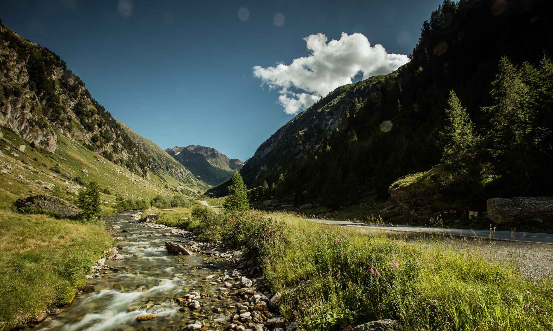
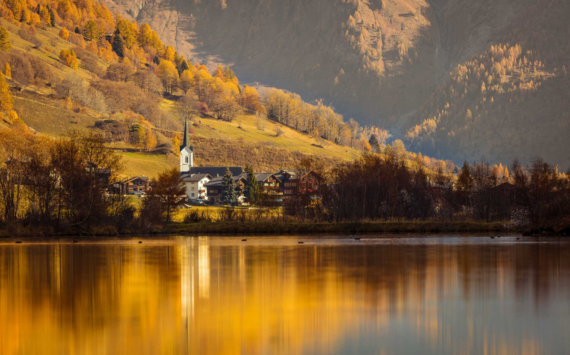

The entire route can be done in 6-7 day stages (including the summit tour to Blinnenhorn). It can be walked in both directions (i.e., Obergoms – Ernen – Binntal – Pomatt – Aegina or Obergoms – Aegina – Pomatt – Binntal – Ernen). The start and finish locations are freely selectable. If the ascent of Blinnenhorn is planned, it should be scheduled towards the end of the hike as the highlight of the route. The walking times for the individual daily stages range from 4 to 8 hours of pure walking time.
Tak
We recommend:
Good footwear and hiking poles
Sun and rain protection as well as warm clothing
Detailed map or informational material with good route preparation
Provisions for your day in the open nature
First aid kit and mobile phone for emergencies
Use of the hiking trails is at your own risk. Obergoms Tourismus AG assumes no liability and accepts no responsibility for the accuracy and completeness of the information on this website.
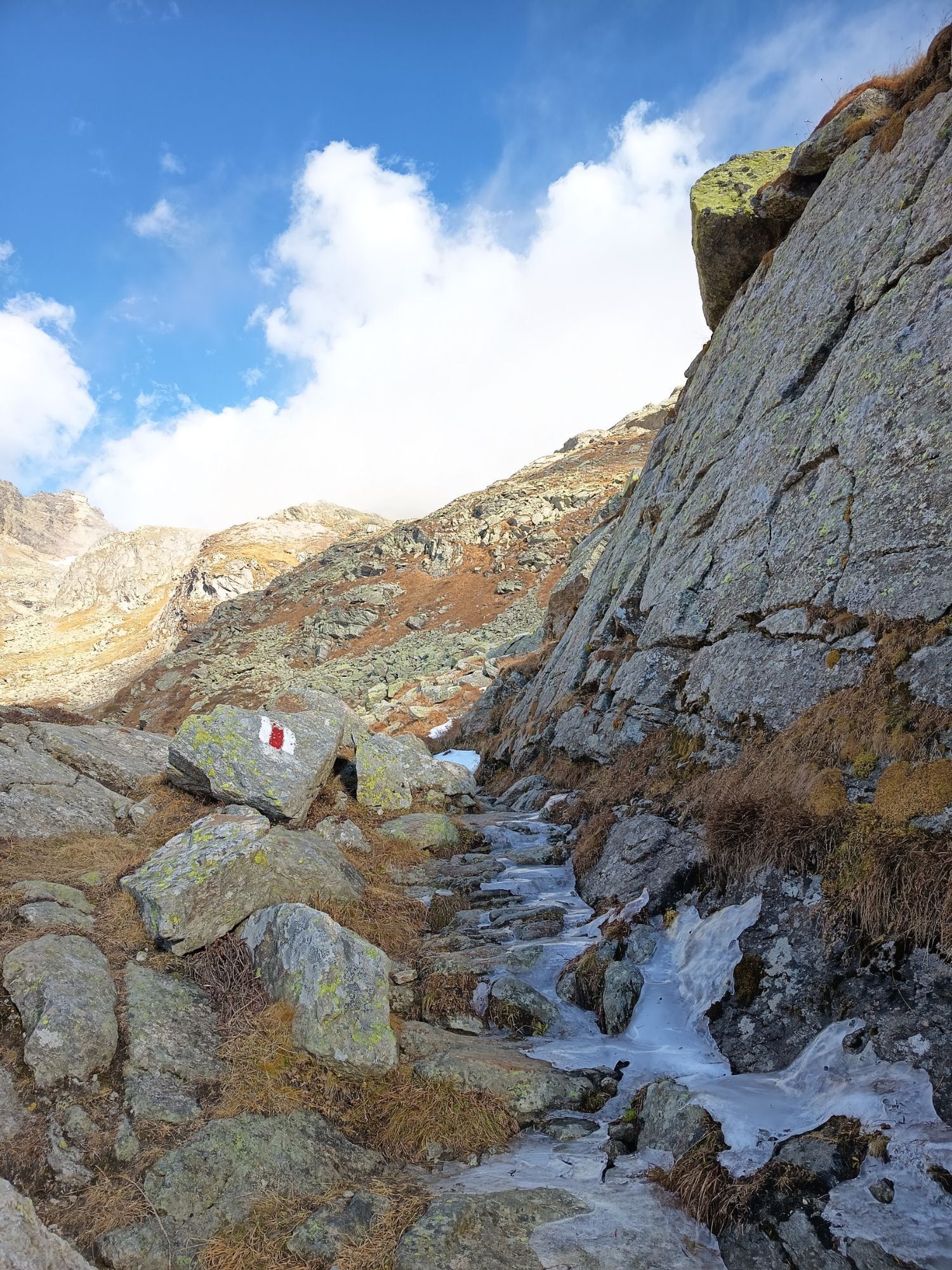
Carry a hiking map with you or download the complete description of the trail with a large-scale map. Use only marked trails and observe all signs and markers – for your own safety, for the protection of the landscape, and out of respect for wildlife. Behave considerately towards other trail users. Take your waste and that of others with you.
Weather conditions in the mountains can change very quickly and without warning. Appropriate clothing and sufficient provisions (food and drink) are very important. In unstable weather, it is better to turn back early. Carry additional sun protection. UV rays at high altitudes can be very strong, even under cloudy skies.
Plan your route carefully and thoroughly. Inform yourself in advance about current conditions and weather. The summer report www.goms.ch/sommersportbericht/ provides valuable information from the region.
From Brig, follow the cantonal road No. 19 (Furka road) for 30 km to Reckingen. Goms is also well connected from the Zurich / Lucerne region via Andermatt – Furka car shuttle train.
The shuttle train timetables can be found at www.matterhorngotthardbahn.ch
With the regional trains of the Matterhorn Gotthard Bahn, you can get from Brig to Reckingen in 1 hour 3 minutes. Goms is also easily accessible from the Zurich / Lucerne region via Andermatt – Furka base tunnel. Train timetables can be found at www.sbb.ch.
Parking is available at the Reckingen or Ulrichen train stations. Follow the local parking guidance system.
Summer report at www.goms.ch/sommersportbericht
Timetable www.sbb.ch
Rescue service phone number: 144
Get your own impression of this region rich in culture and history, discover the regional specialties. Treat yourself in the evening after a strenuous hiking day. The numerous restaurants, hotels, shops in the villages, and mountain huts offer a diverse range of regional and typical products and dishes.
Kamery internetowe z trasy
-
Bellwald Tourismus
-
Hungerberg - Restaurant Gommerblick
-
Obergesteln
-
Ulrichen VS / Hotel Astoria
-
Blitzingen
-
Fiesch
-
Obergoms/Oberwald
-
Nordisches Zentrum Goms
-
Münster Landhaus Goms
-
Reckingen Hotel Glocke
-
Blitzingen Bodmen
-
Blitzingen - Hotel Castle
-
Bellwald Furggulti
-
Bellwald Talstation
-
Bellwald Mittelstation Fleschen
-
Centro Fondo Riale
-
Imfeld/ Binntal
-
Binn Lengtal Schmidigehischre
-
Obergesteln - Source du Rhône
-
Goms - Obergesteln

Popularne wycieczki w okolicy
-
4,7
Foroglio-Calnègia-Foroglio
średniWędrówka 8,37 km -
4,8
Ciaspolata al Rifugio Maria Luisa
średniRakieta do chodzenia po śniegu 11,2 km -
5,0
Toce Waterfall - Riale - San Giacomo Pass road
średniWędrówka 10,9 km -
Glaciological Path
średniWędrówka 8,18 km -
5,0
Binntal, Twingischlucht- Binn nach Ernen
średniWędrówka 10,6 km -
5,0
Cycling pleasure on the Rottenweg
światłoJazda na rowerze 25,0 km -
5,0
Historic Mountain Routes | Toce waterfall-Riale-Passo San Giacomo road
średniMountainbike 10,7 km -
5,0
Bosco Gurin-Lago Melo-Lago Pero-Bosco Gurin
średniWędrówka 10,6 km -
Alpine Lakes Trek
ciężkiWędrówka 64,1 km -
5,0
Cimalmotto-Alpe Magnello-Cimalmotto
średniWędrówka 8,82 km
Wędrówki i tropienie


Nie przegap ofert i inspiracji na następne wakacje
Twój adres e-mail została dodana do listy mailingowej.





