


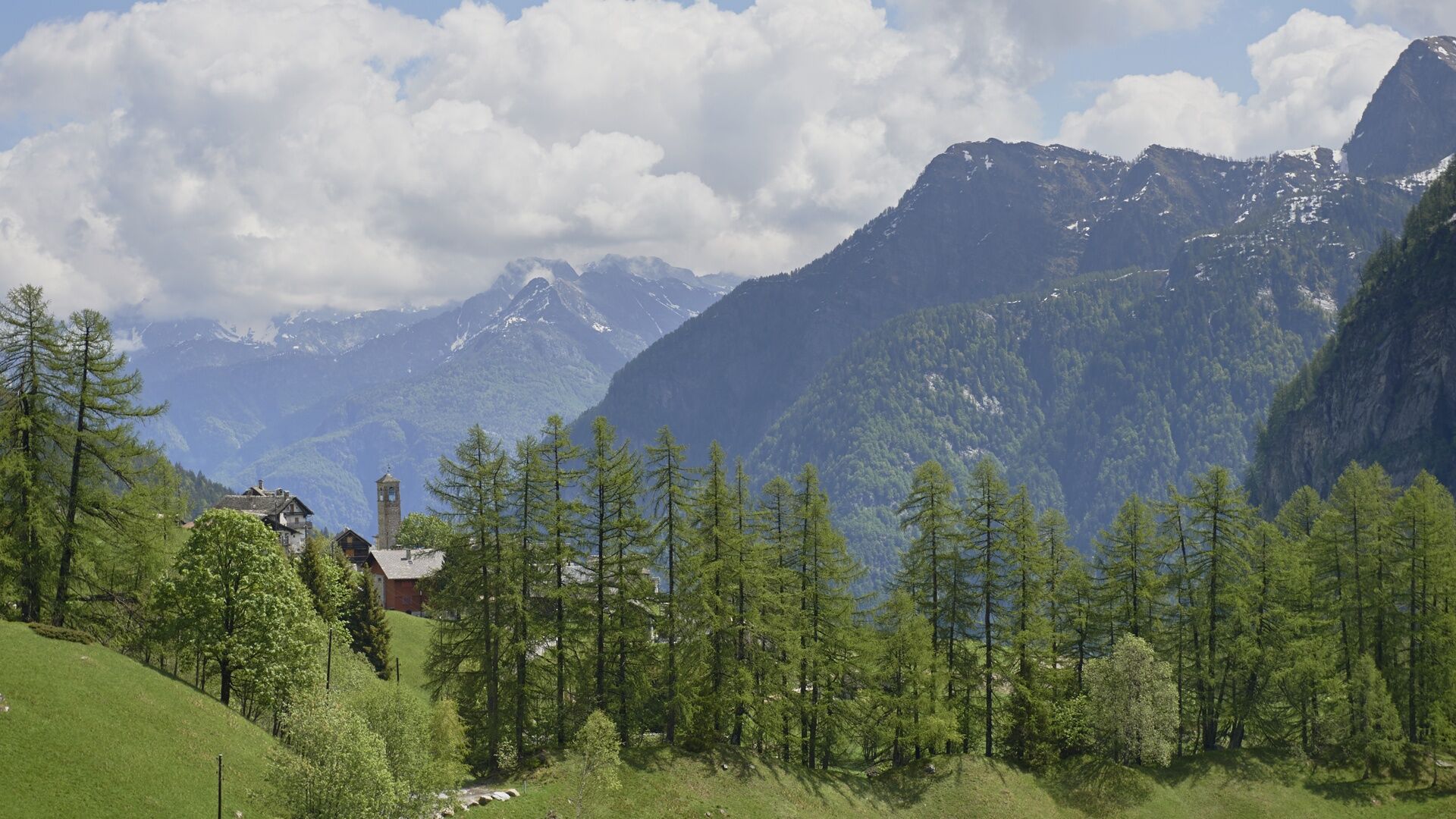
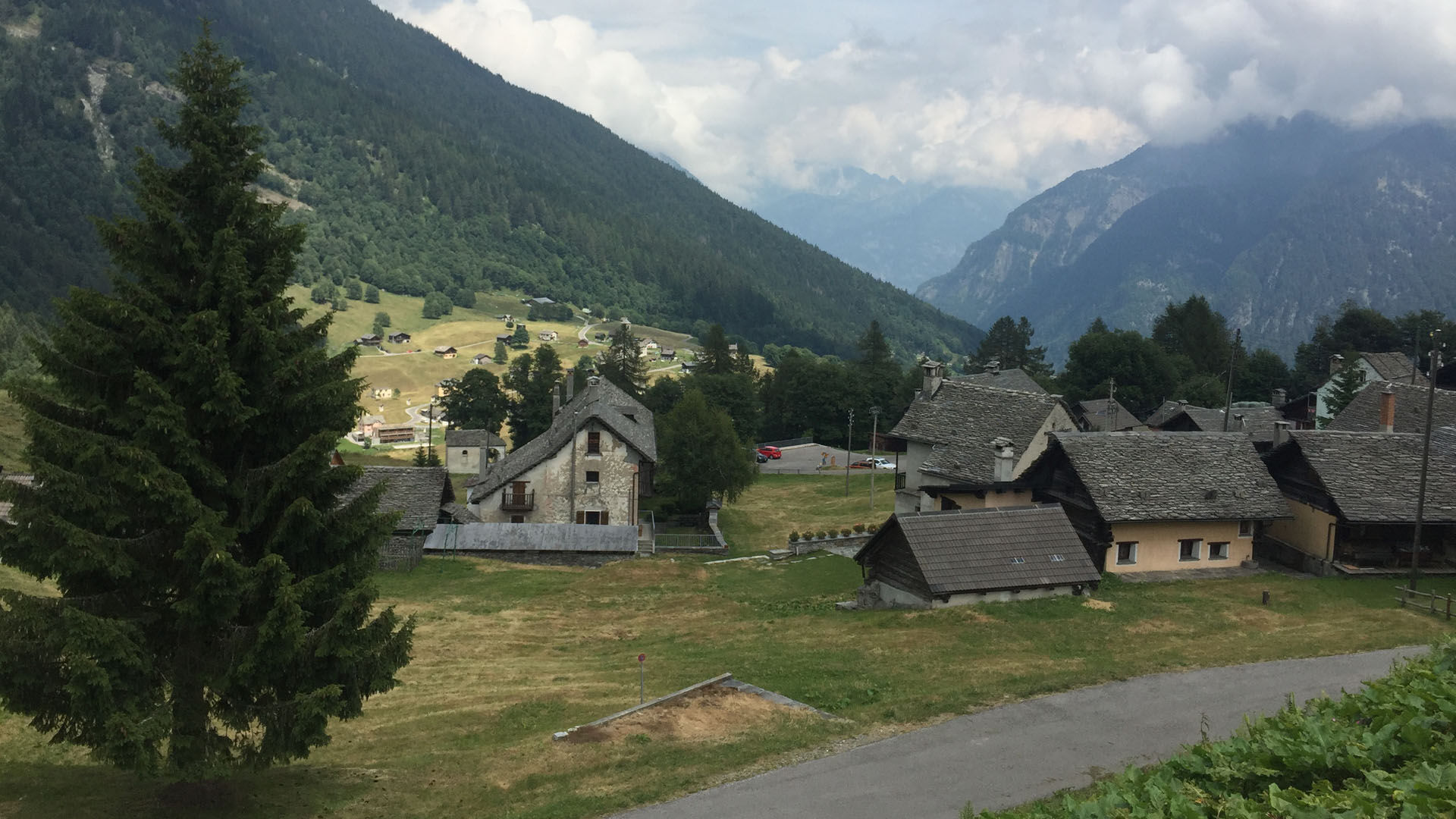
Cimalmotto-Alpe Magnello-Cimalmotto
Poziom trudności: T2
After a few minutes walking on the drivable paved road, you arrive from the characteristic village of Cimalmotto at the starting point of this route. Apart from a short initial climb, the path immediately...
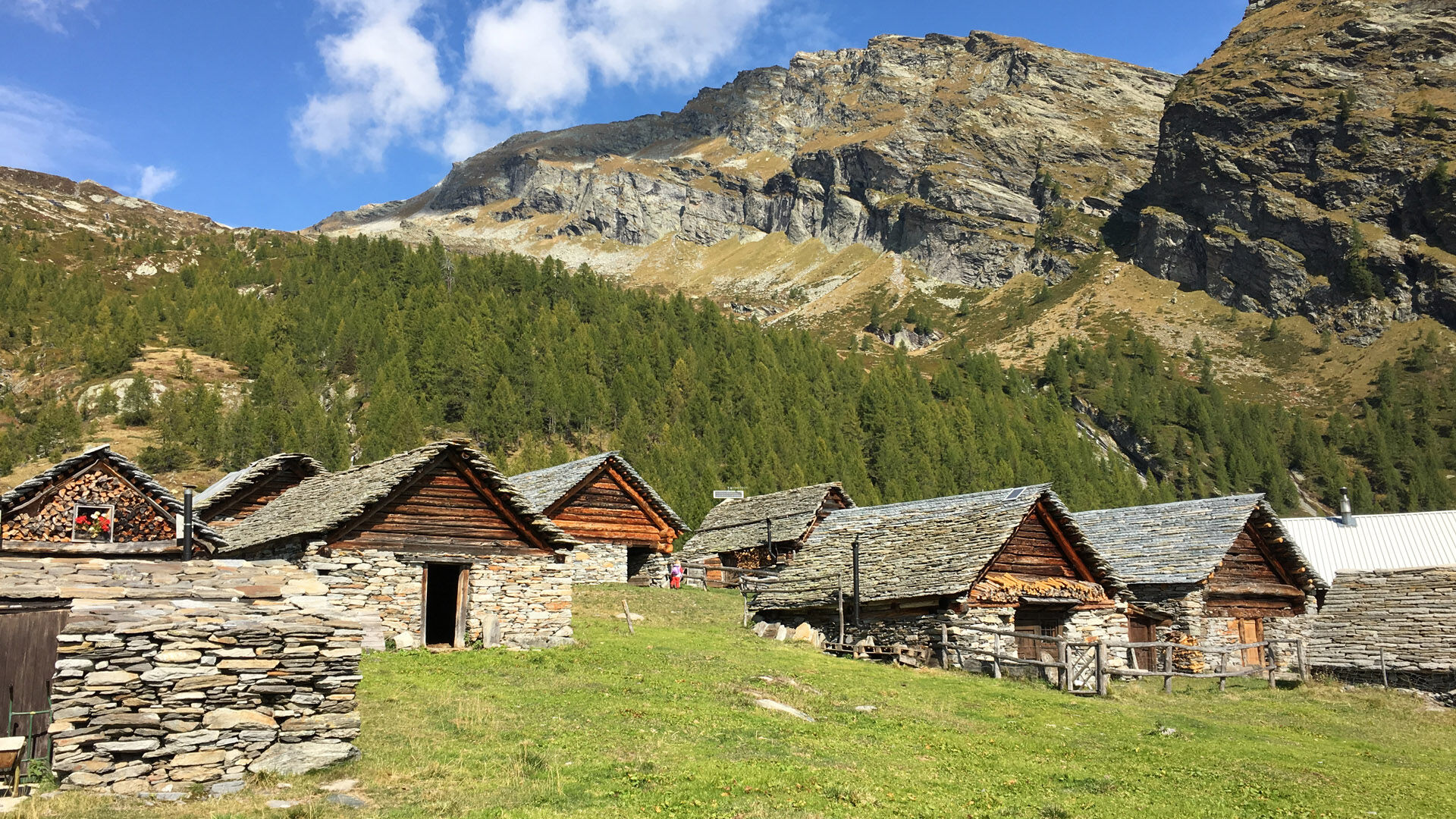
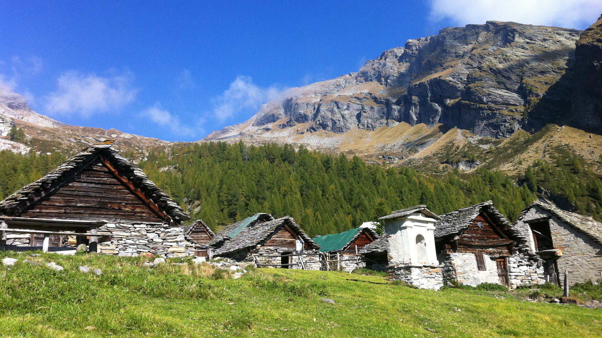
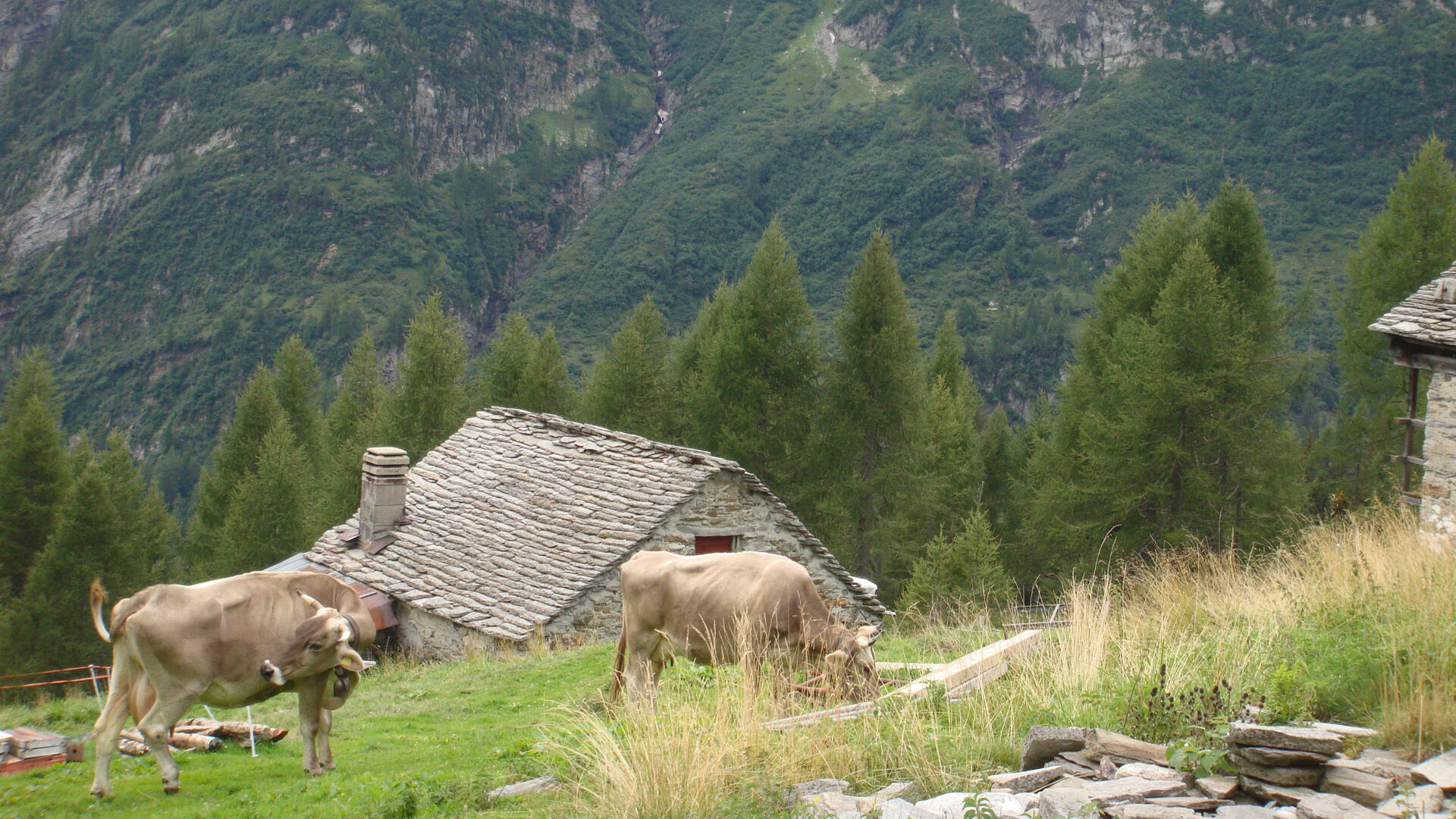
After a few minutes walking on the drivable paved road, you arrive from the characteristic village of Cimalmotto at the starting point of this route. Apart from a short initial climb, the path immediately descends to the Piano della Stufa, followed by an ascent to Alpe Magnello, with an elevation gain of 400 meters.
The richness of nature allows you to distract yourself from the physical effort and, almost without noticing, you have already reached the summit. Alpe Magnello lies at 1808 m above sea level, on the Italian border, and is one of the few alpine farms in the Valle di Campo still active: a true blend of tradition and culture! During the summer months, it is possible to observe cheese production and choose from a wide range of fresh products for sale.
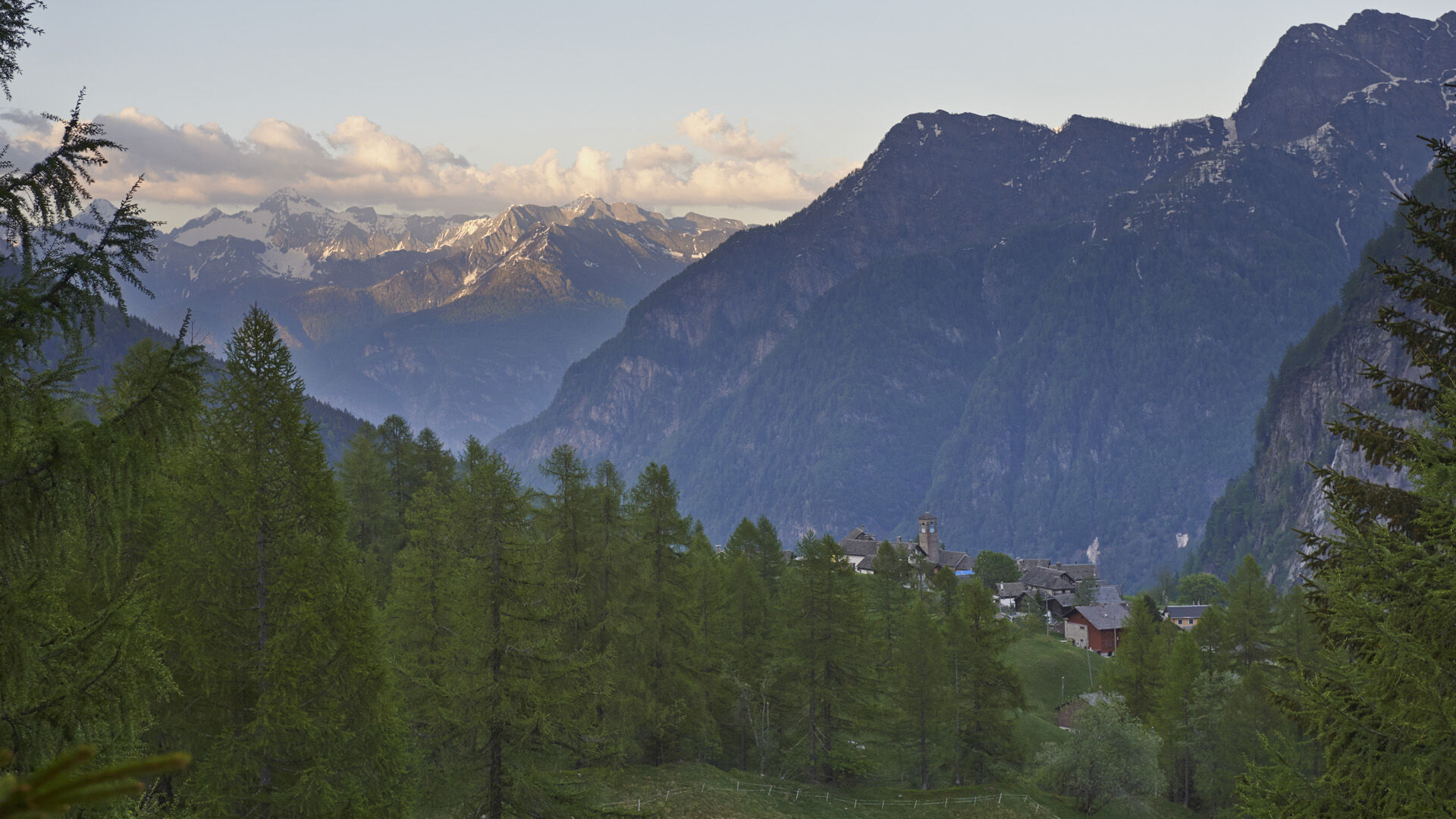
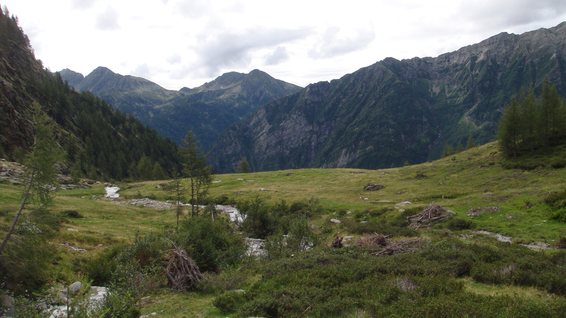
On the way back, you cross the Ri di Magnello before descending to Fontanella and returning to the starting point at Cimalmotto. Check the bus schedule to and from Cimalmotto in advance.

Cimalmotto-Sponda-Cané-Piano della Stufa-Alpe di Magnello-Fontanella-Cimalmotto
Tak
Tak
Hiking backpack (approx. 20 liters) with rain cover
Sturdy and comfortable shoes
Clothing suitable for weather conditions and durable, layer dressing principle, and possibly trekking poles
Sun and rain protection
Provisions and drinking water
First aid kit
Pocket knife
Mobile phone, possibly headlamp
Map material
Swiss Trails - Safe hiking
Outbound from Locarno, Station: take bus NFB 315 towards Cavergno, Paese. Get off at the Cevio, Centro stop. 2 min walk to the Cevio, Posta stop and take bus 331 towards Bosco Gurin, Paese. Get off at Cerentino and take bus 332 to Cimalmotto.
Return from Cimalmotto: take bus 332 to Cerentino then bus 331 to Cevio, Posta. 2 min walk to the Cevio, Centro stop. Take bus 315 towards Locarno, Station. For more information: www.sbb.ch
T2
Popularne wycieczki w okolicy
-
4,0
Foroglio-Calnègia-Foroglio
średniWędrówka 8,37 km -
5,0
Bignasco-San Carlo
średniWędrówka 12,8 km -
5,0
Spruga-Alpe Saléi-Comologno
średniWędrówka 8,96 km -
5,0
TESSIN | Foroglio
średniWędrówka 3,86 km -
5,0
Bosco Gurin-Lago Melo-Lago Pero-Bosco Gurin
średniWędrówka 10,6 km -
Linescio-Campo Vallemaggia
średniWędrówka 10,1 km -
5,0
Val Bavona: Cevio-San Carlo-Cevio
średniJazda na rowerze 28,8 km -
Vergeletto and the alpine lake of Salei
średniWędrówka 13,1 km -
Maggiore Trekking
ciężkidługodystansowy szlak pieszy 56,5 km -
Via Alta Vallemaggia
ciężkiWędrówka 169,7 km

Wędrówki i tropienie


Nie przegap ofert i inspiracji na następne wakacje
Twój adres e-mail została dodana do listy mailingowej.