


Historic Mountain Routes | Toce waterfall-Riale-Passo San Giacomo road
Zdjęcia naszych użytkowników
-

 © peter_oeUtworzono dnia 05.08.2025
 -
 © peter_oeUtworzono dnia 05.08.2025
 -
 © peter_oeUtworzono dnia 05.08.2025
 -
 © peter_oeUtworzono dnia 05.08.2025
 -
 © peter_oeUtworzono dnia 05.08.2025
 -
 © peter_oeUtworzono dnia 05.08.2025
 -
 © peter_oeUtworzono dnia 28.07.2024
 -
 © peter_oeUtworzono dnia 28.07.2024
 -
 © peter_oeUtworzono dnia 28.07.2024
 -
 © peter_oeUtworzono dnia 28.07.2024
 -
 © peter_oeUtworzono dnia 28.07.2024
 -
 © peter_oeUtworzono dnia 28.07.2024
 -
 © peter_oeUtworzono dnia 28.07.2024
 -
 © AnerUtworzono dnia 25.04.2026
 -
 © AnerUtworzono dnia 25.04.2026
 -
 © AnerUtworzono dnia 25.04.2026
 -
 © AnerUtworzono dnia 25.04.2026
 -
 © AnerUtworzono dnia 25.04.2026
 -
 © AnerUtworzono dnia 25.04.2026
 -
 © AnerUtworzono dnia 25.04.2026
 -
 © AnerUtworzono dnia 25.04.2026
 -
 © AnerUtworzono dnia 25.04.2026
 -
 © AnerUtworzono dnia 25.04.2026
 -
 © AnerUtworzono dnia 25.04.2026
 -
 © AnerUtworzono dnia 25.04.2026
 -
 © AnerUtworzono dnia 25.04.2026
 -
 © AnerUtworzono dnia 25.04.2026
 -
 © AnerUtworzono dnia 25.04.2026
 -
 © AnerUtworzono dnia 25.04.2026
 -
 © AnerUtworzono dnia 25.04.2026
 -
 © AnerUtworzono dnia 25.04.2026
 -
 © AnerUtworzono dnia 25.04.2026
 -
 © AnerUtworzono dnia 25.04.2026
 -
 © AnerUtworzono dnia 25.04.2026
 -
 © AnerUtworzono dnia 25.04.2026
 -
 © AnerUtworzono dnia 25.04.2026
 -
 © AnerUtworzono dnia 25.04.2026
 -
 © AnerUtworzono dnia 25.04.2026
 -
 © AnerUtworzono dnia 25.04.2026
 -
 © AnerUtworzono dnia 25.04.2026
 -
 © AnerUtworzono dnia 25.04.2026
 -
 © AnerUtworzono dnia 25.04.2026
 -
 © AnerUtworzono dnia 25.04.2026
 -
 © AnerUtworzono dnia 25.04.2026
 -
 © AnerUtworzono dnia 25.04.2026
 -
 © Gianpaolo FerrettoUtworzono dnia 02.01.2026
 -
 © Antonella TorelliUtworzono dnia 22.08.2025
 -
 © Antonella TorelliUtworzono dnia 22.08.2025


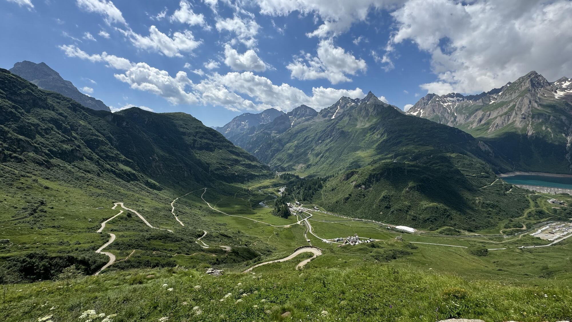

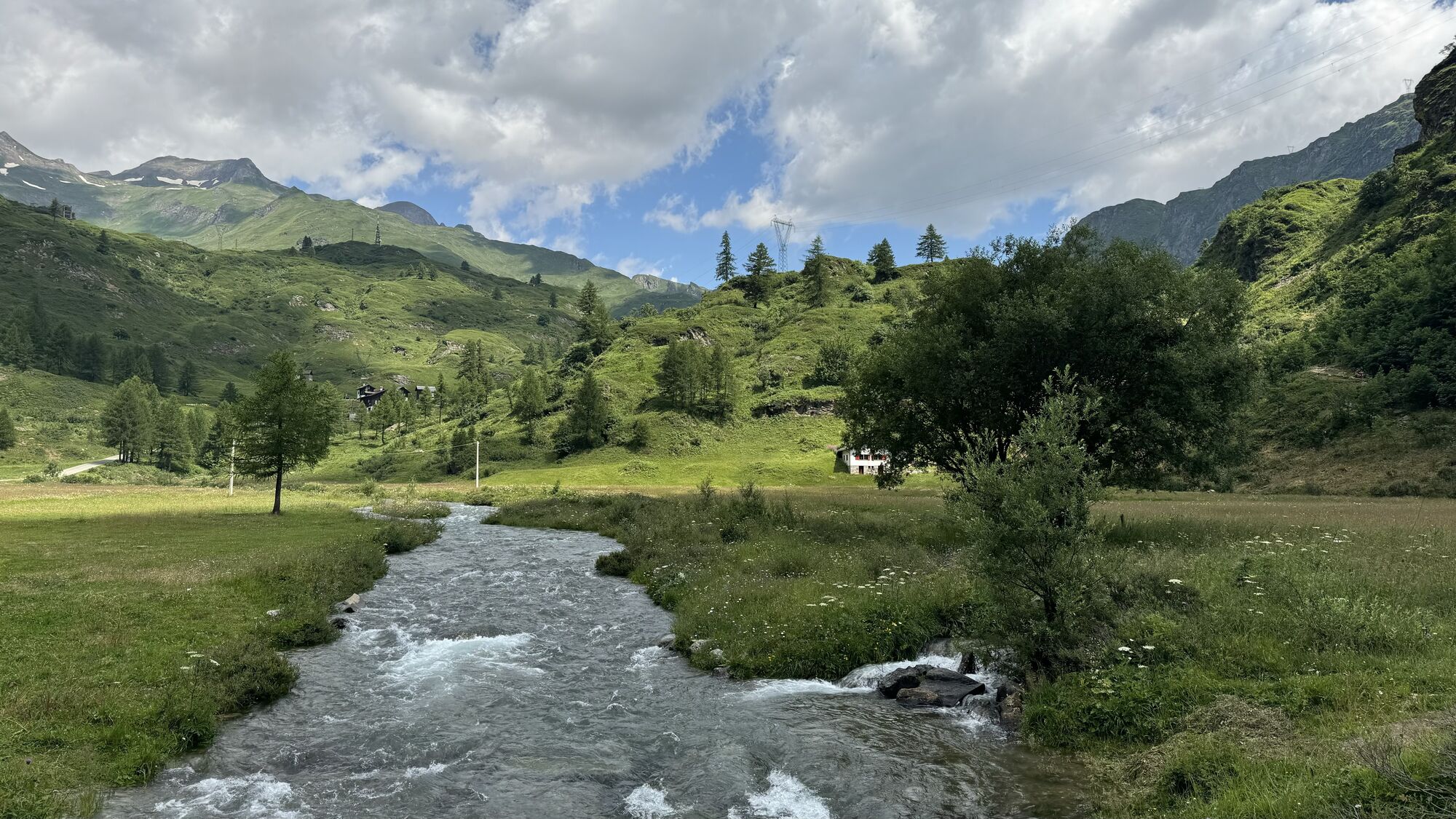

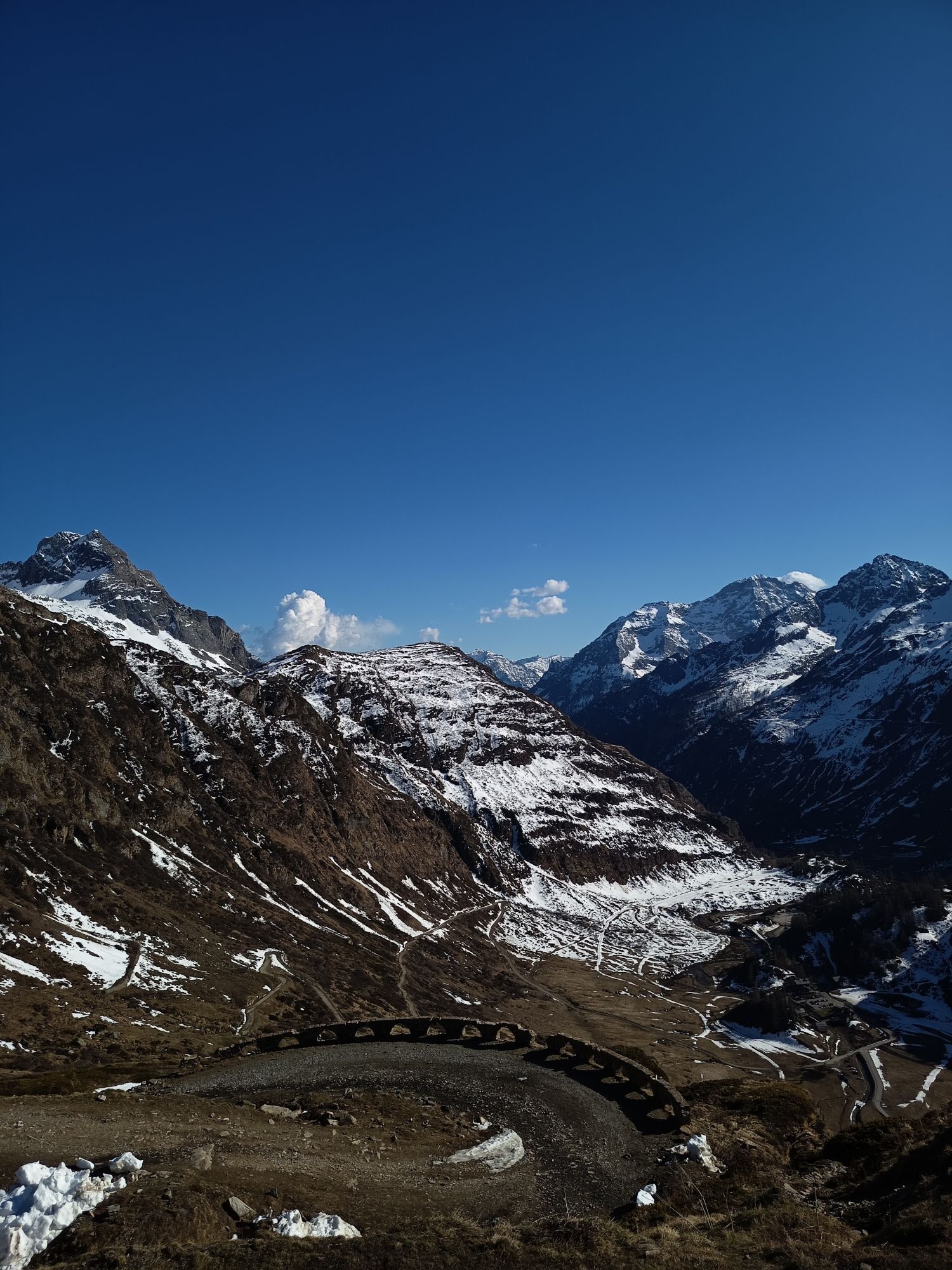


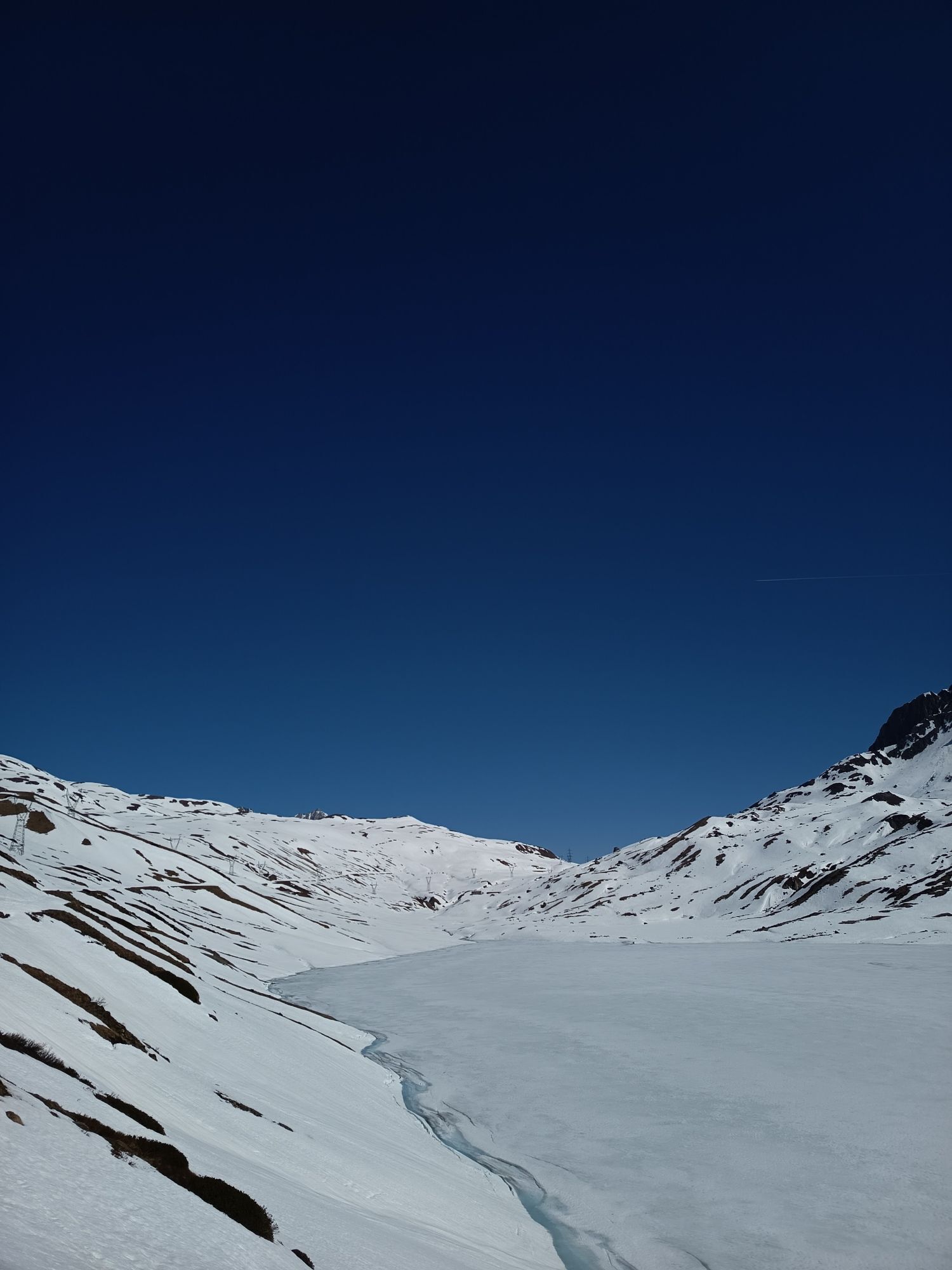
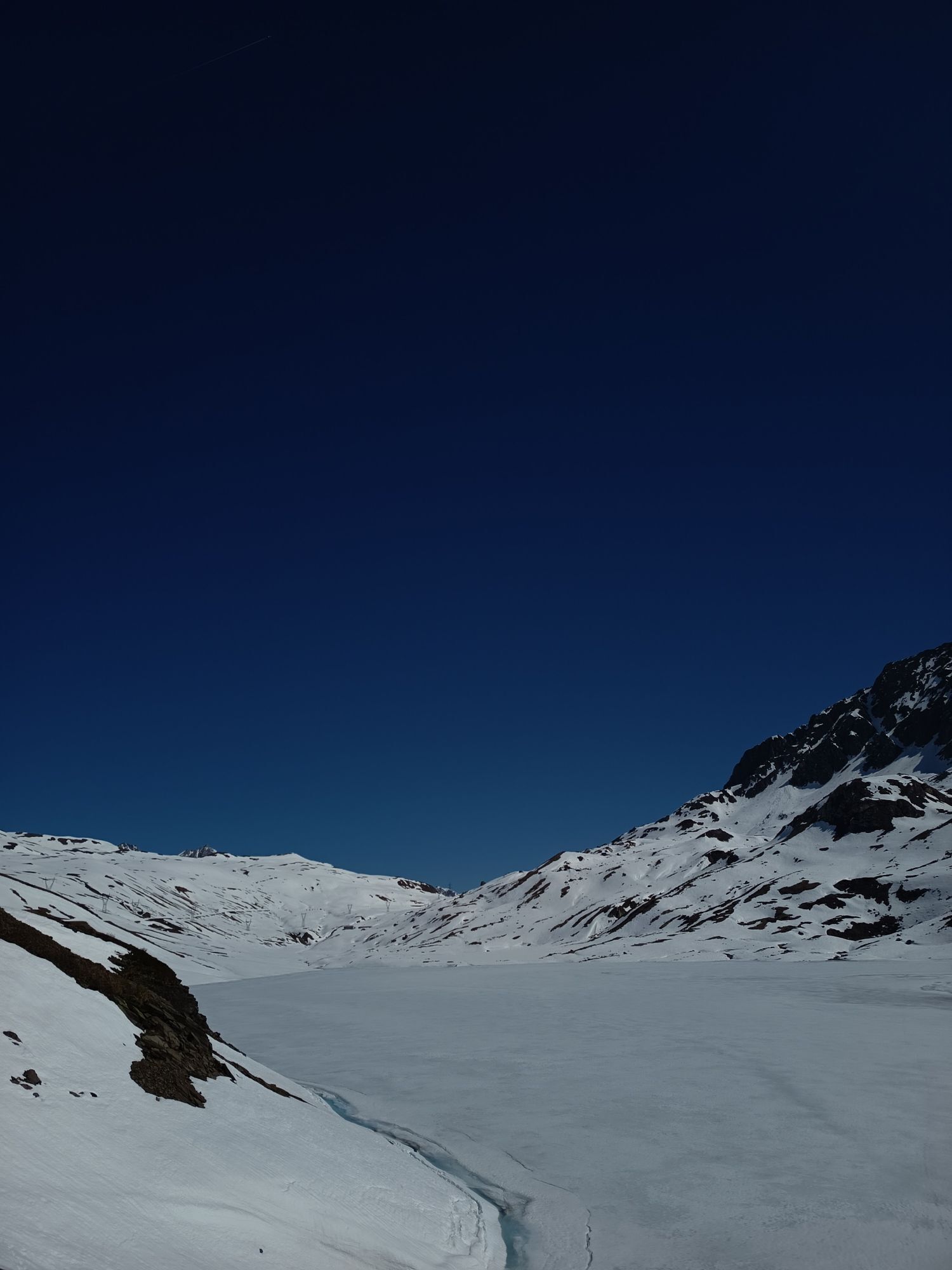
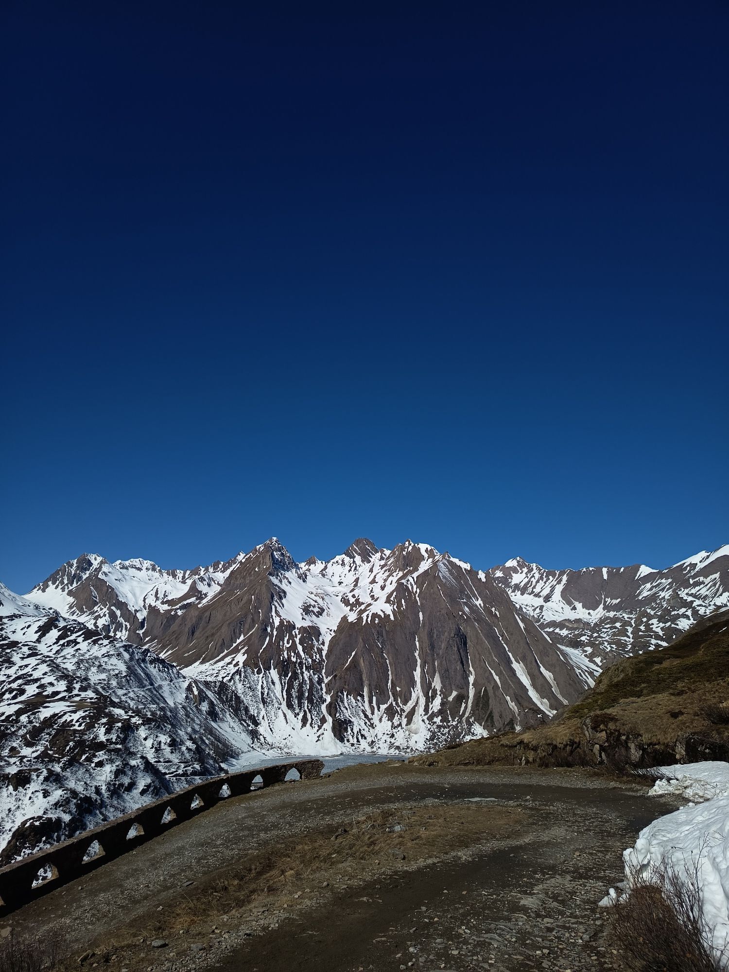
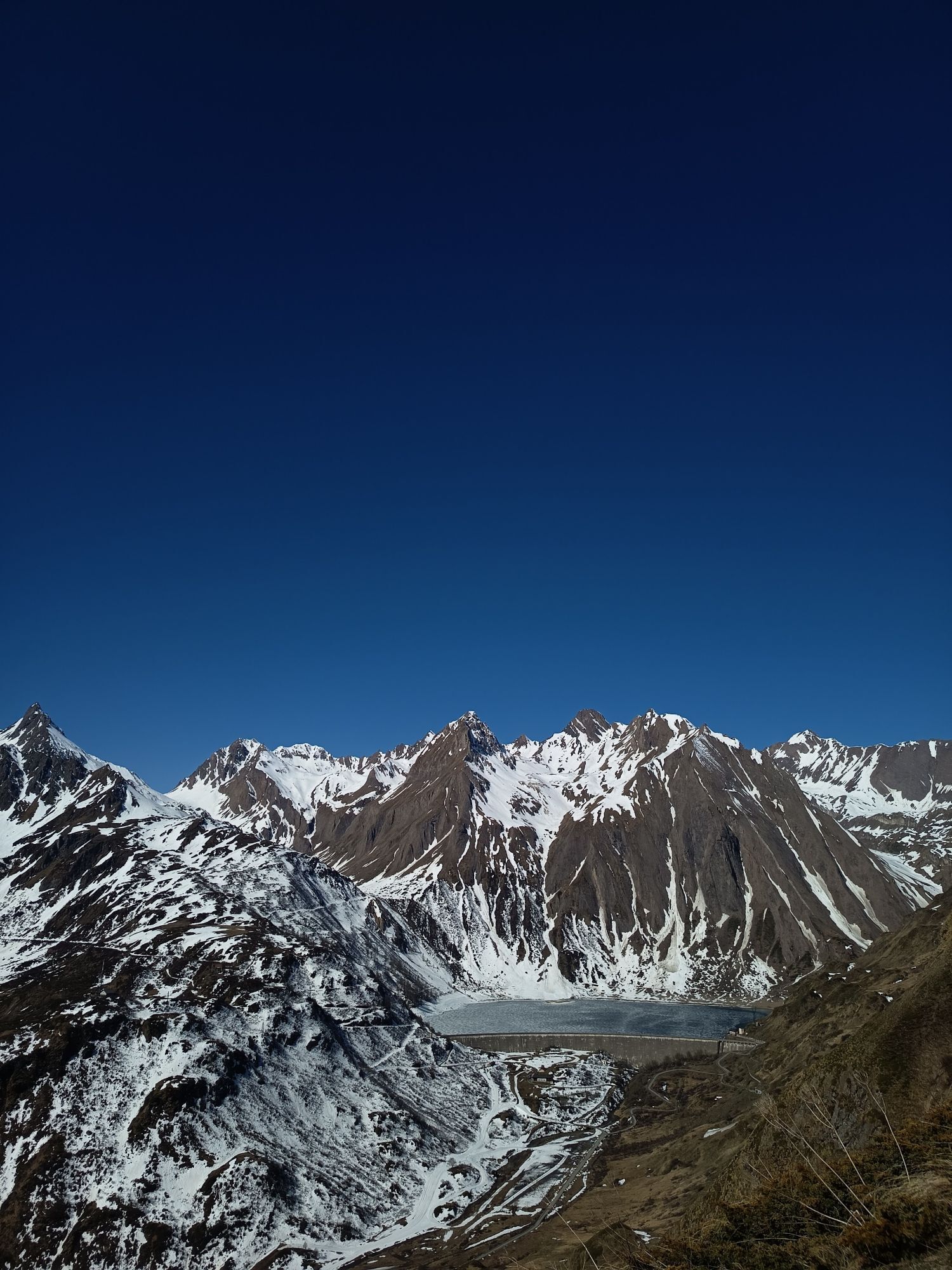
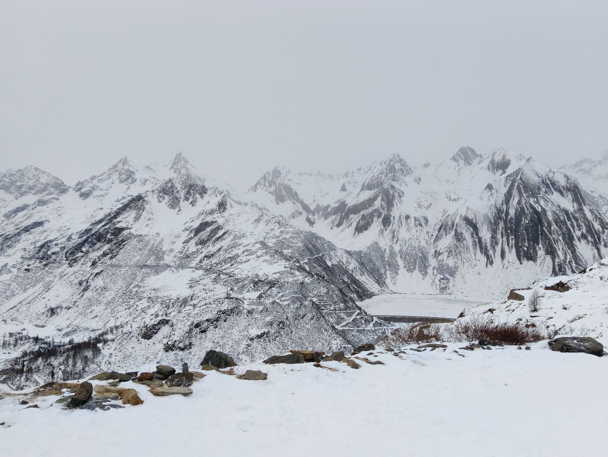

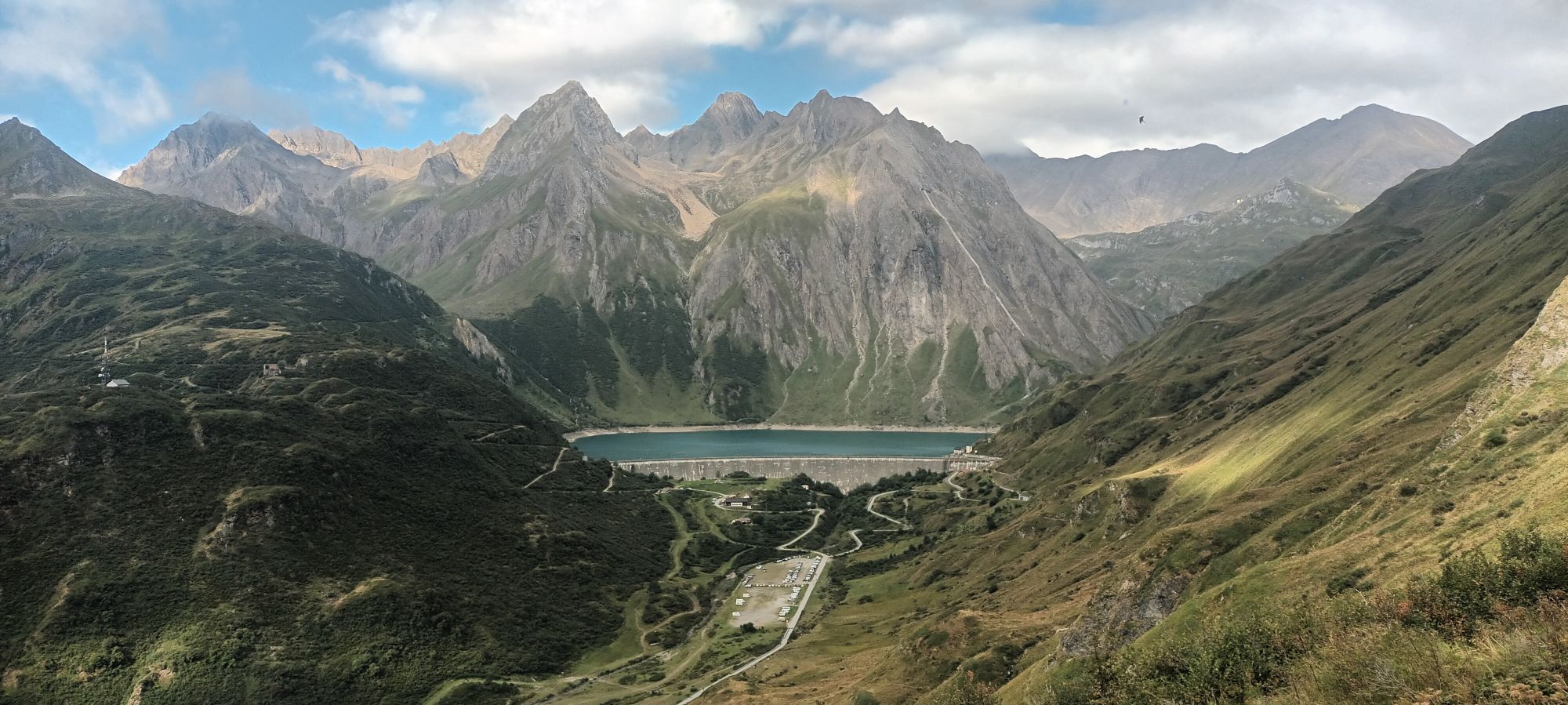
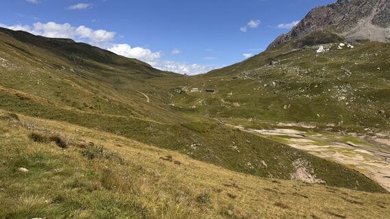
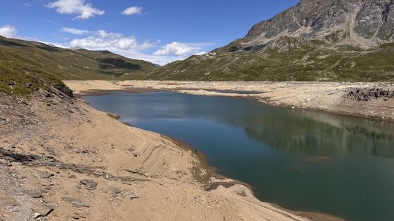
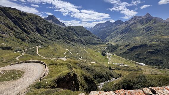
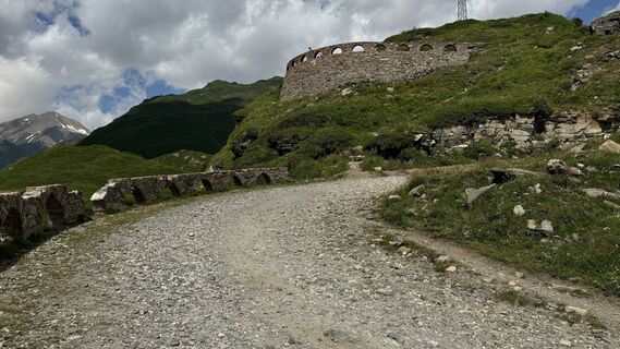
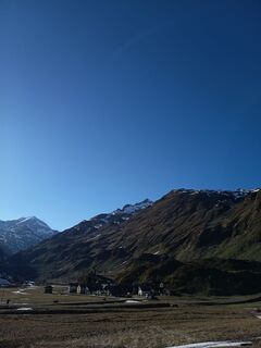
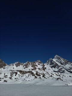
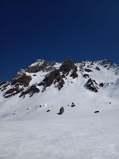
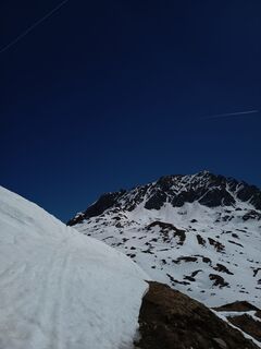
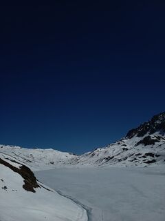
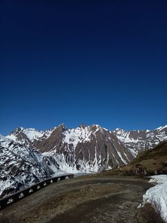
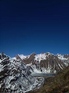
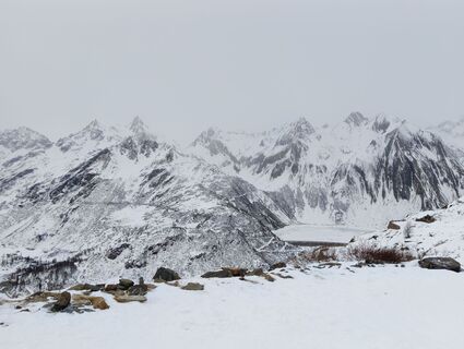
The road starts from the Toce waterfall and the route is characterized by hairpin bends and reduced slopes, flanked by stone walls and arches from which you can take unique photos of the Riale plain and...
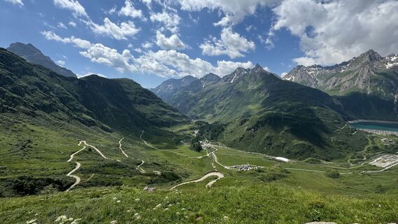
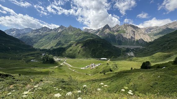
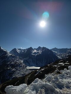
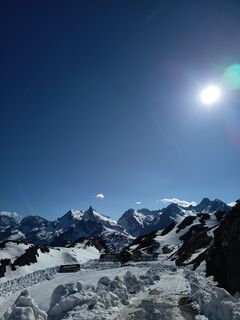
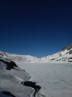
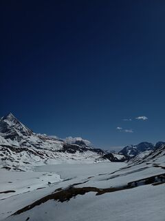
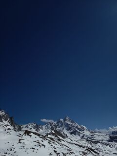
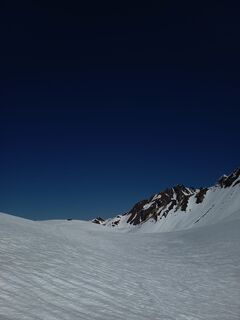
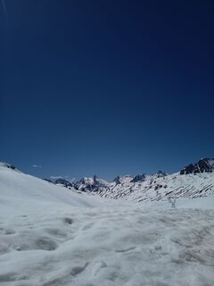
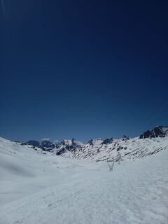
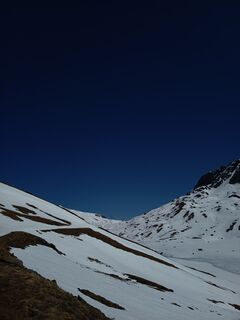
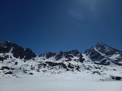
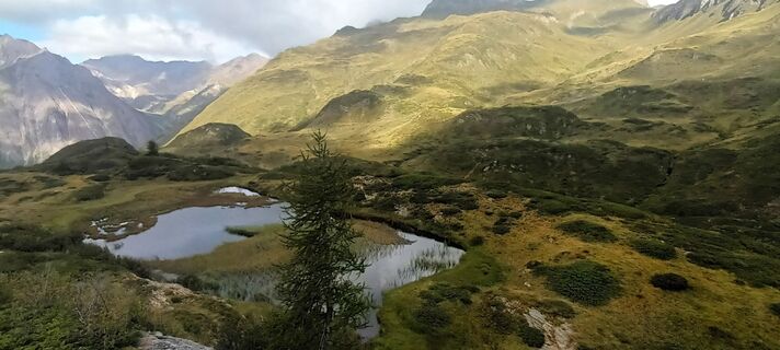
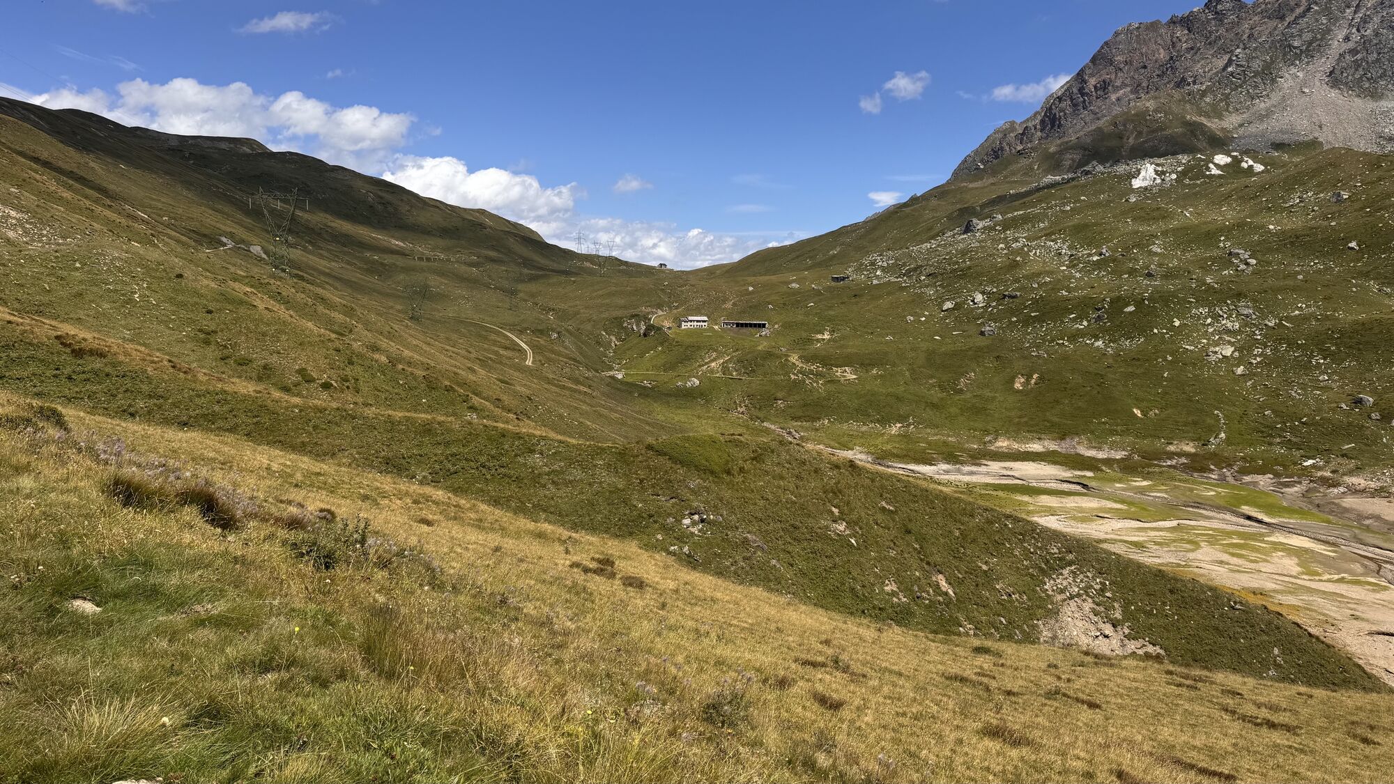
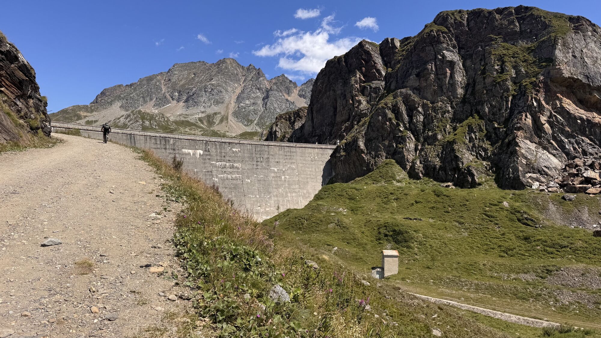
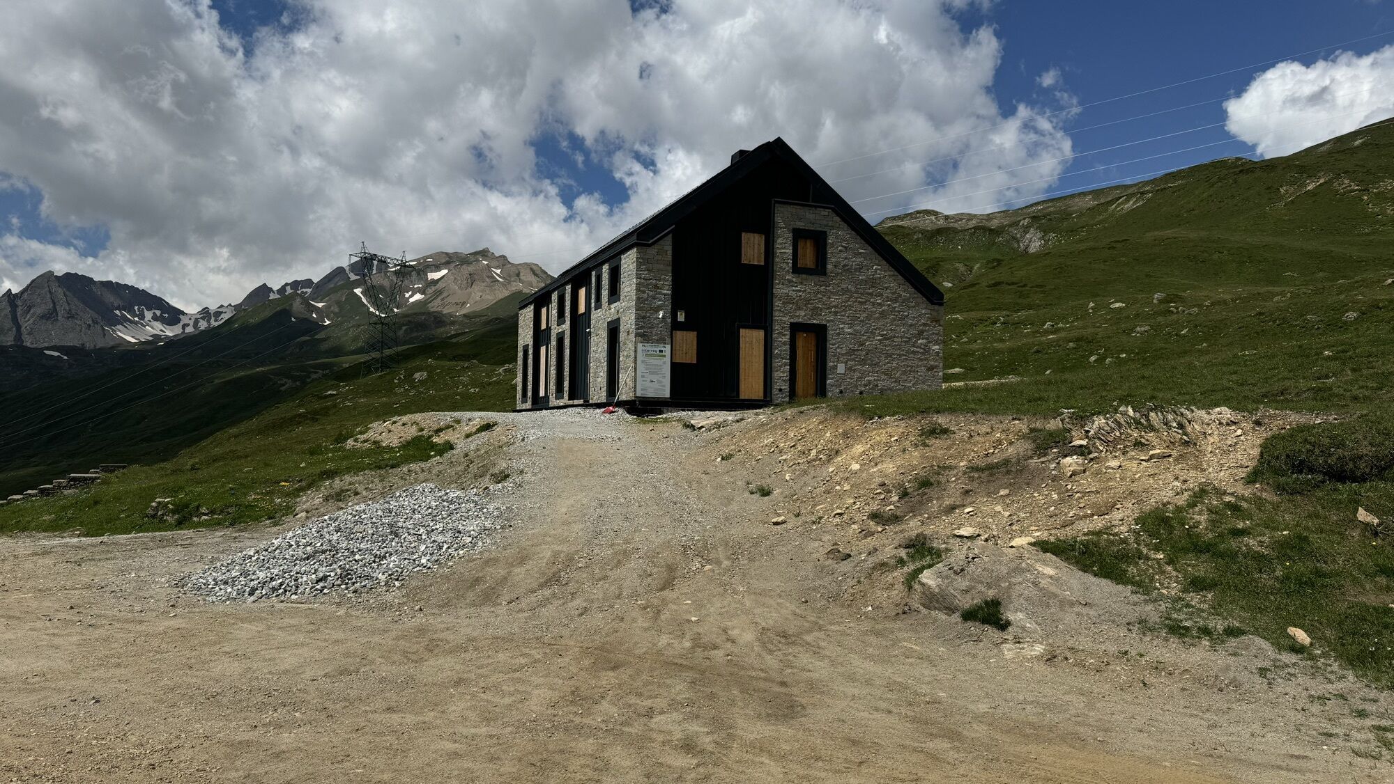
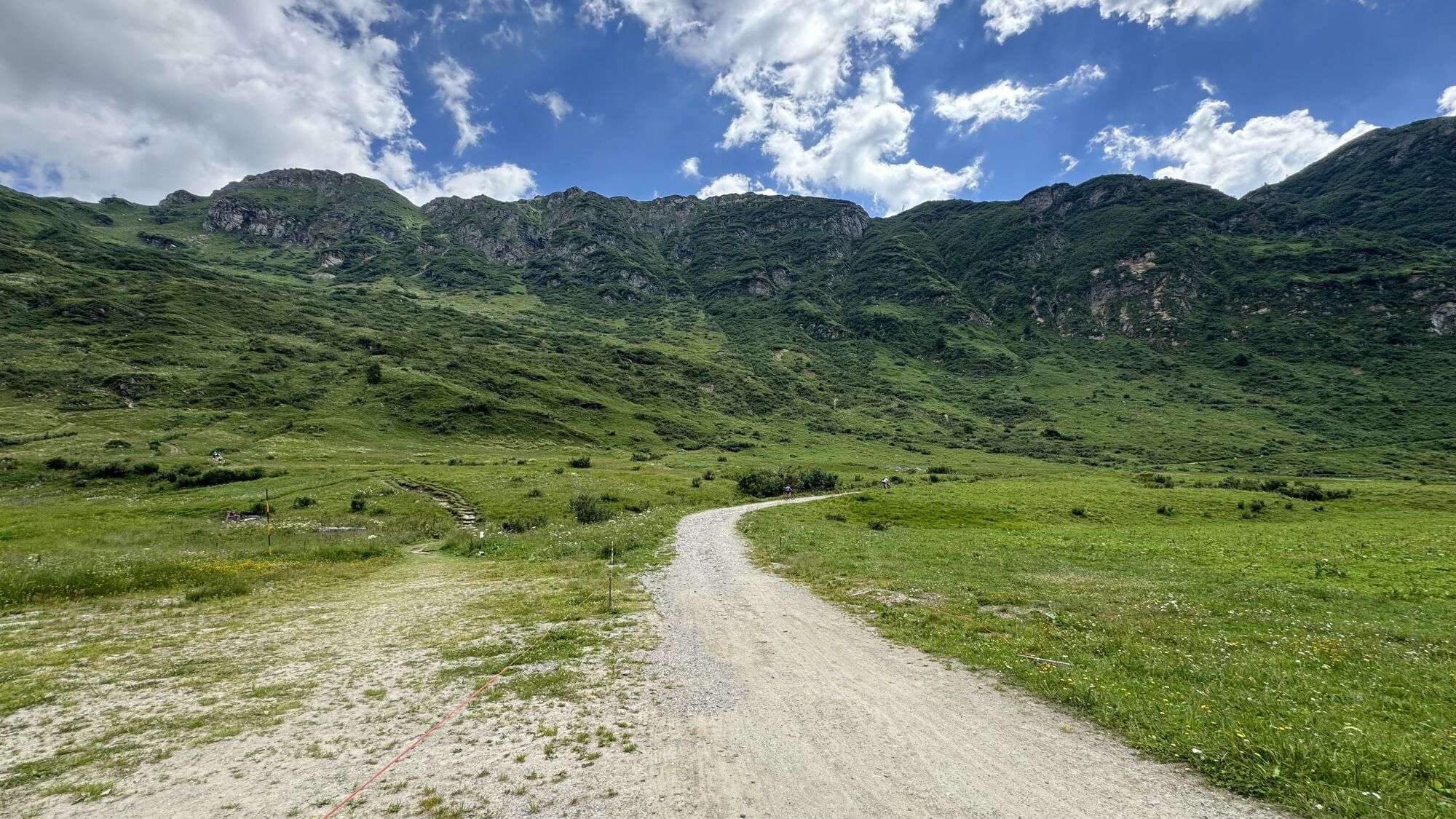
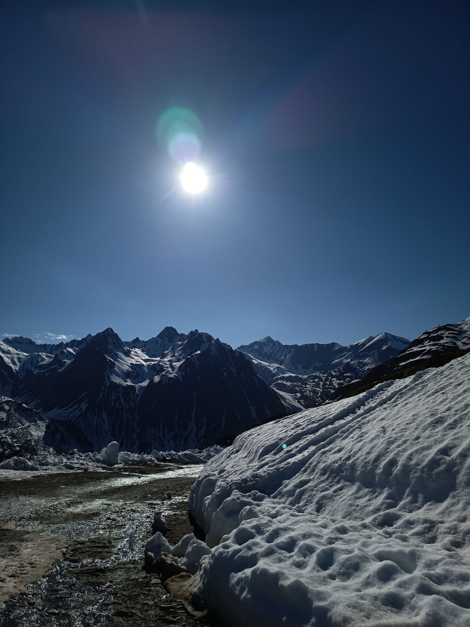
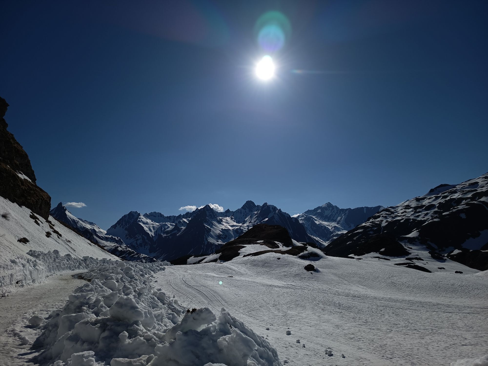
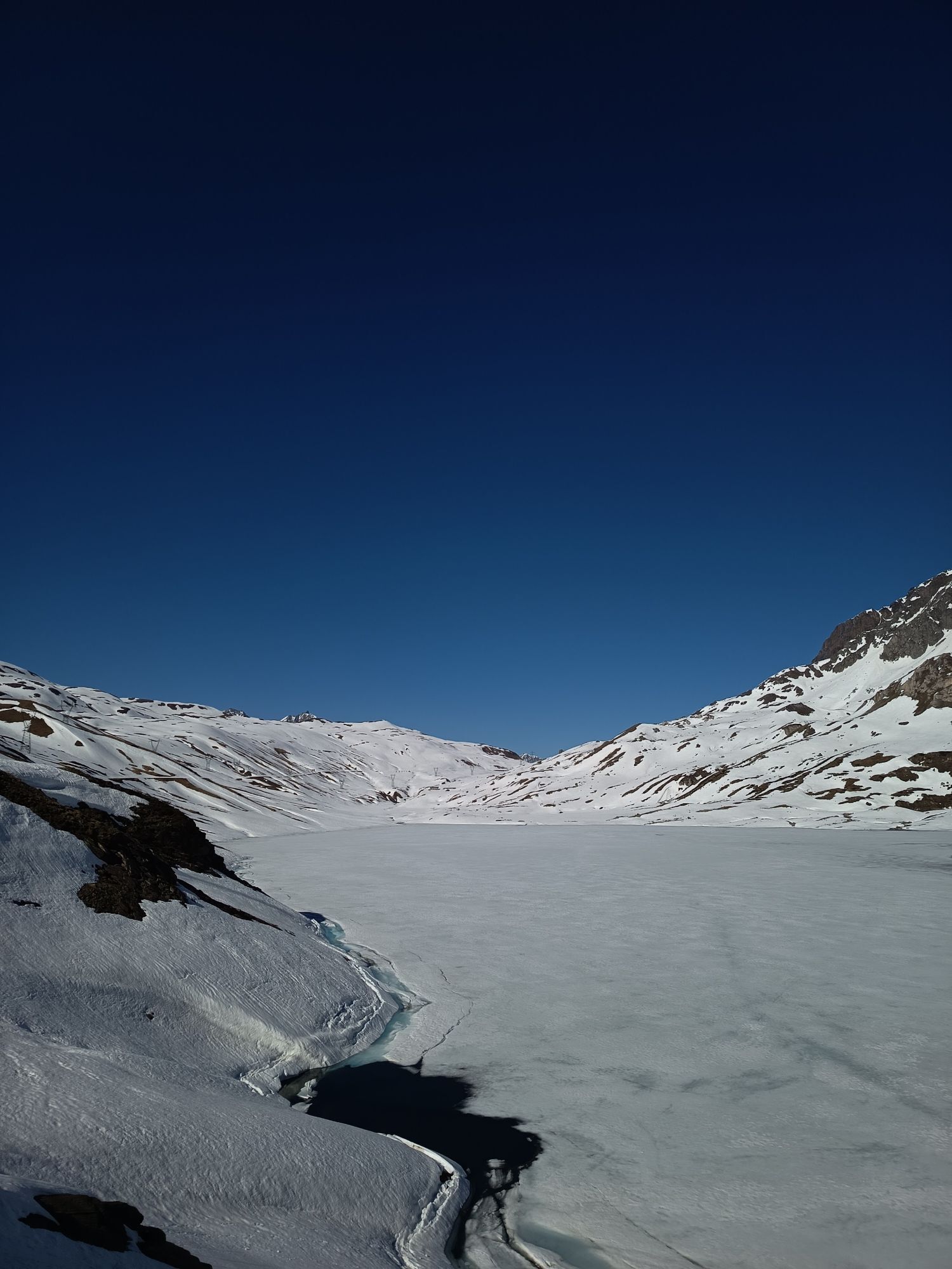
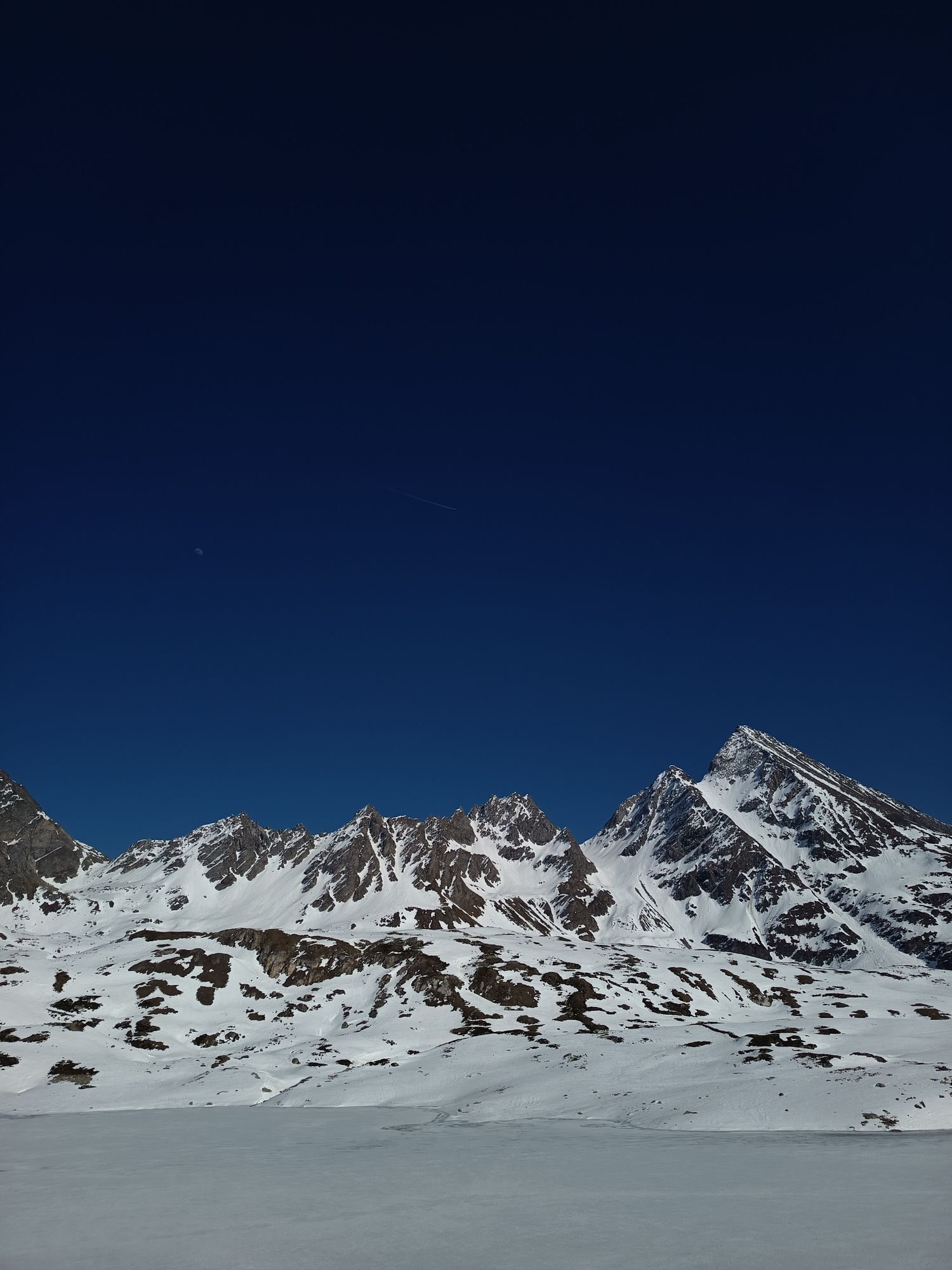
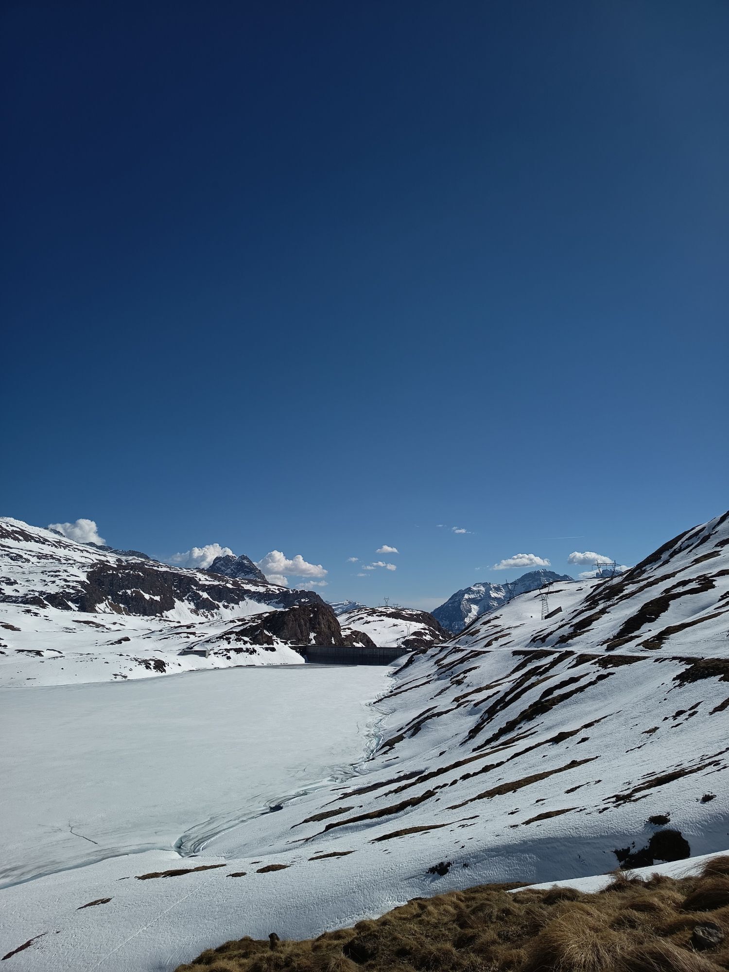
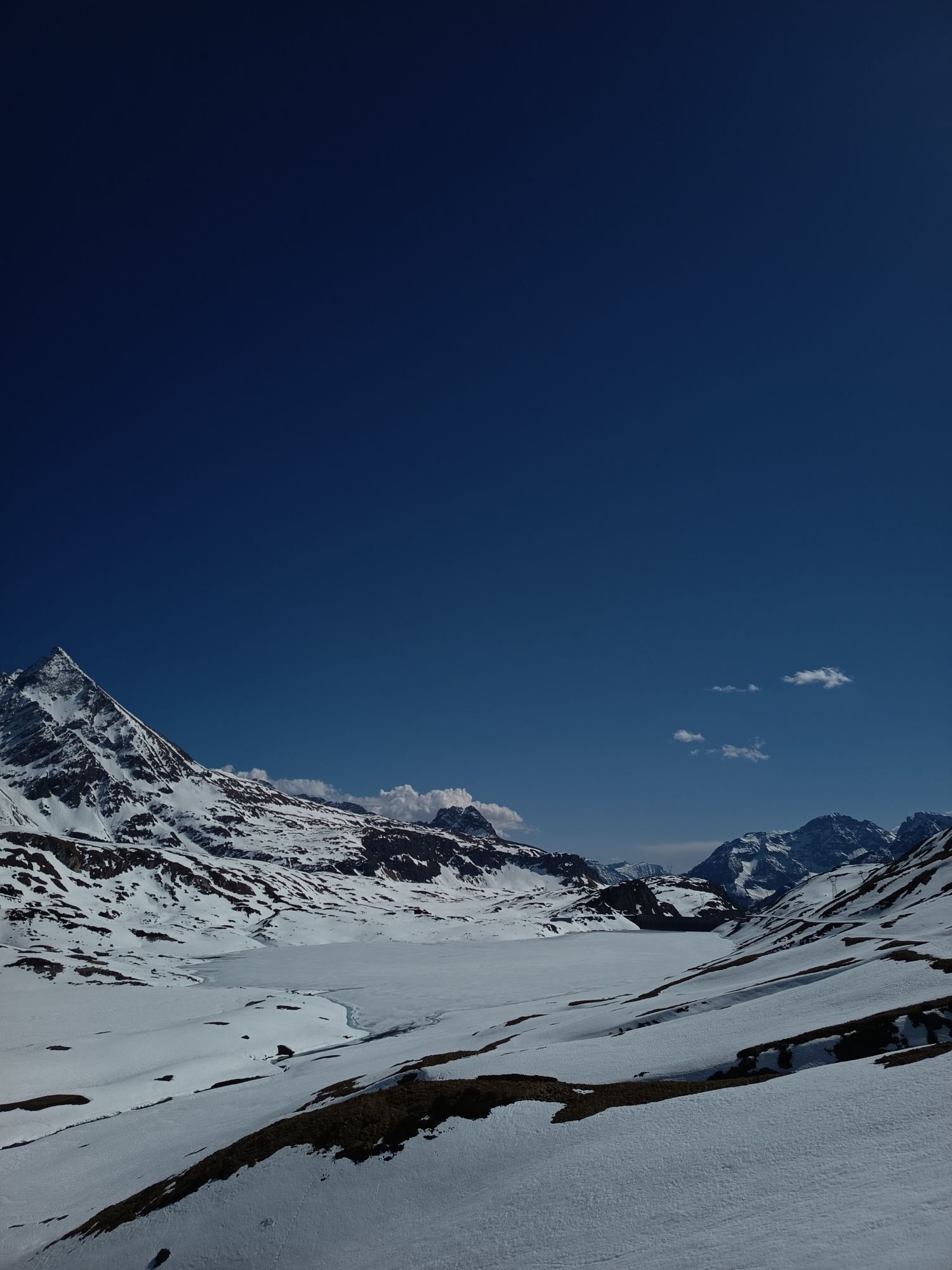
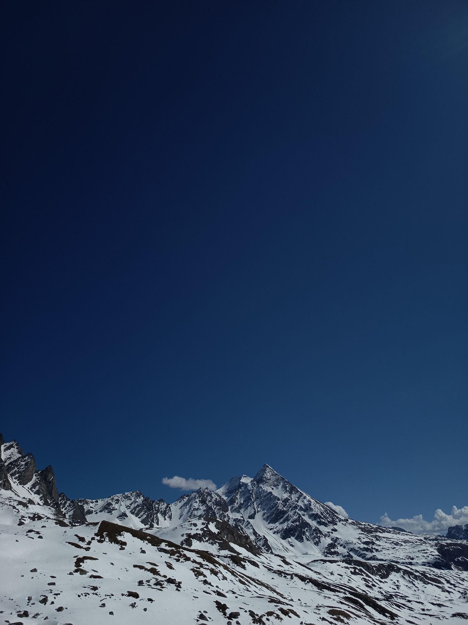
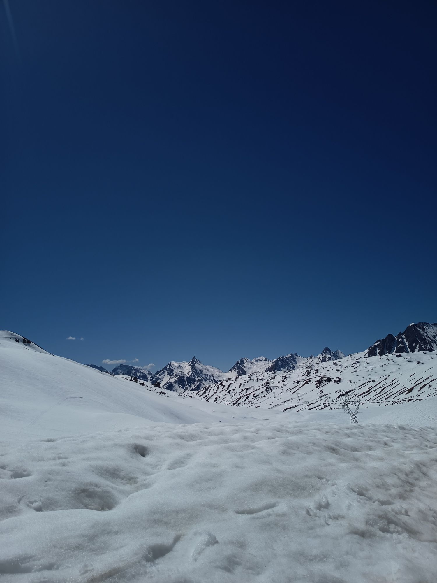
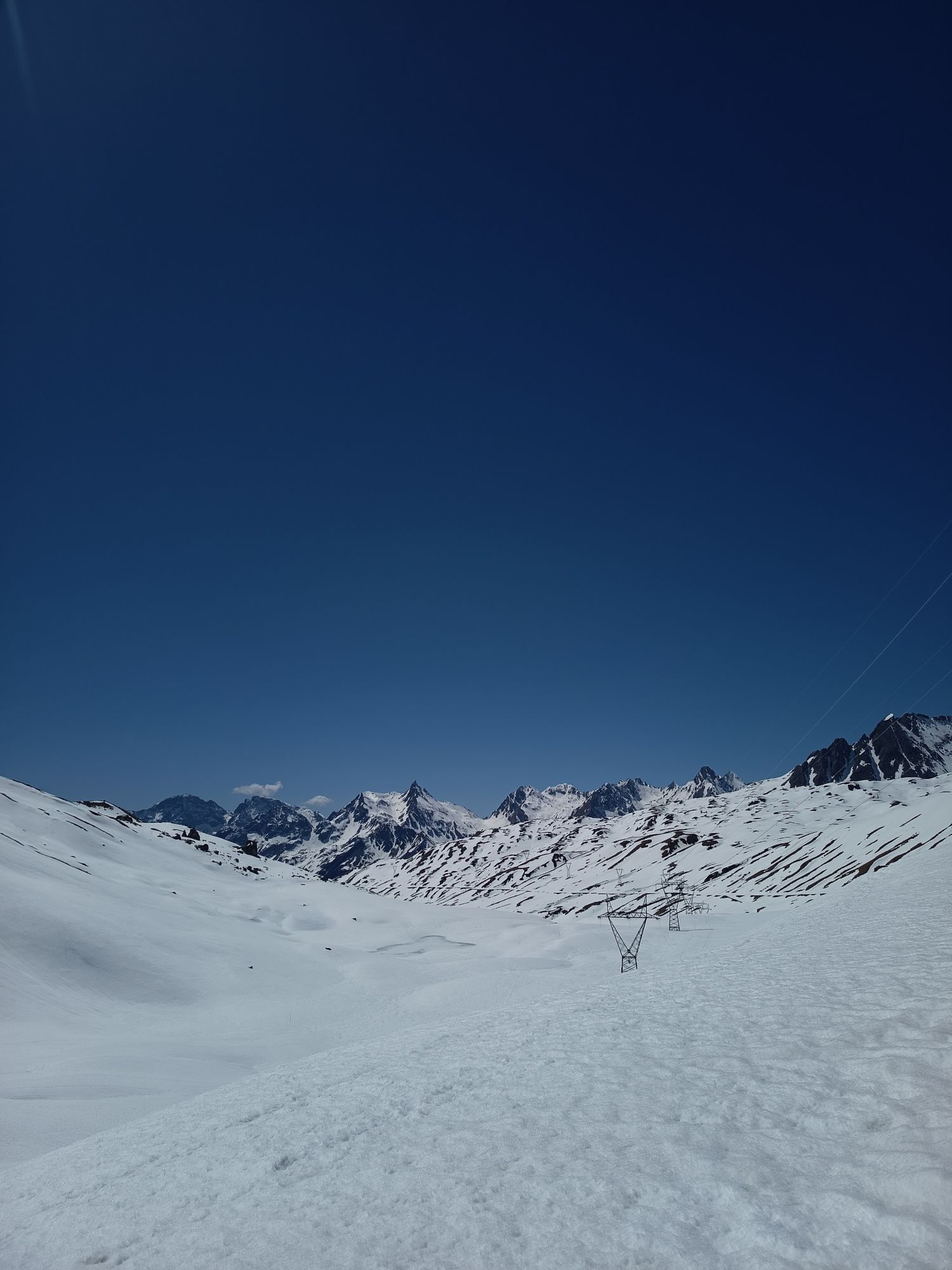
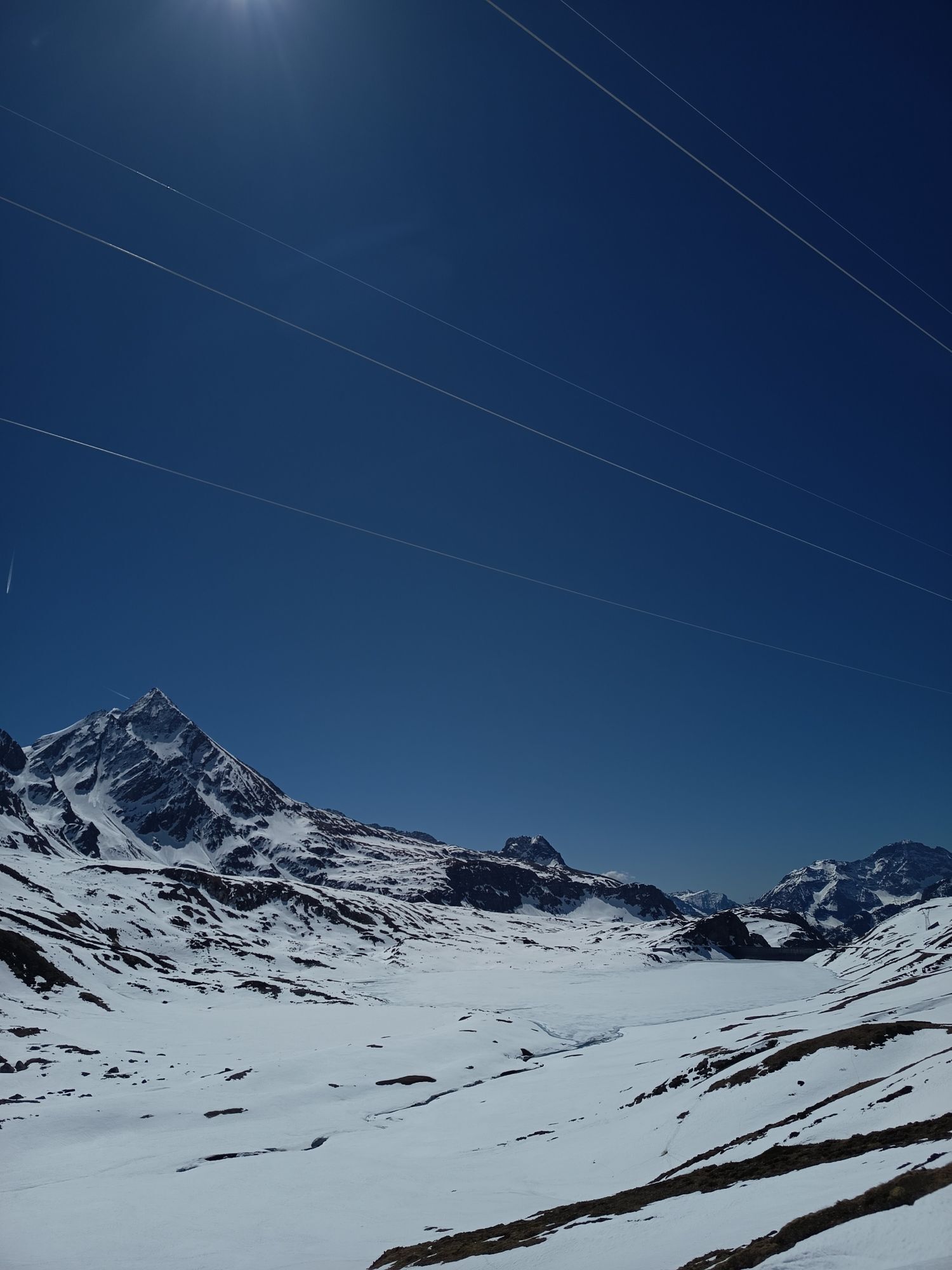
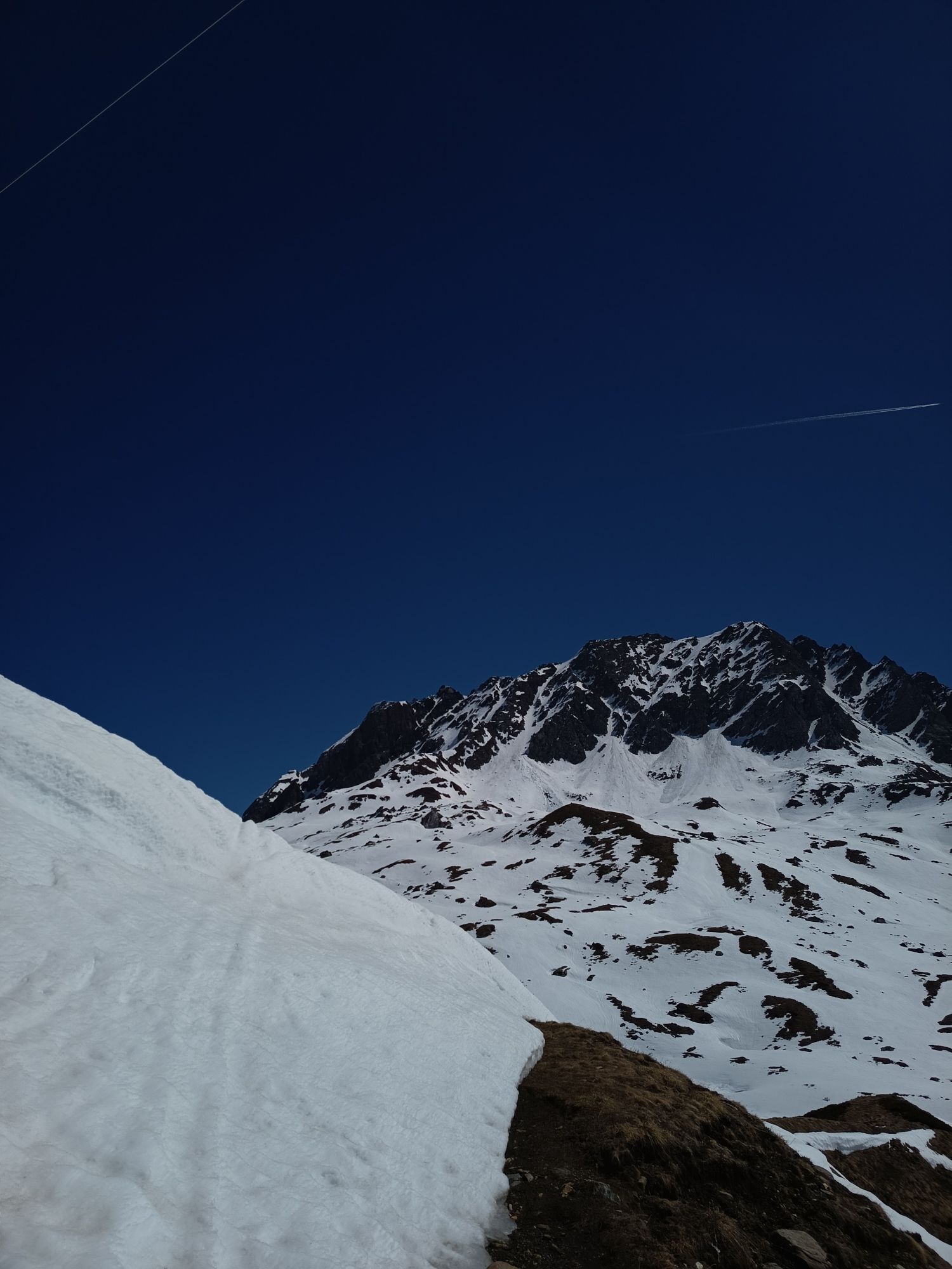
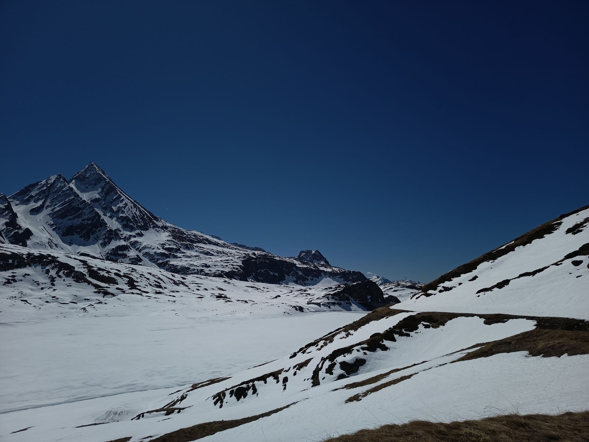
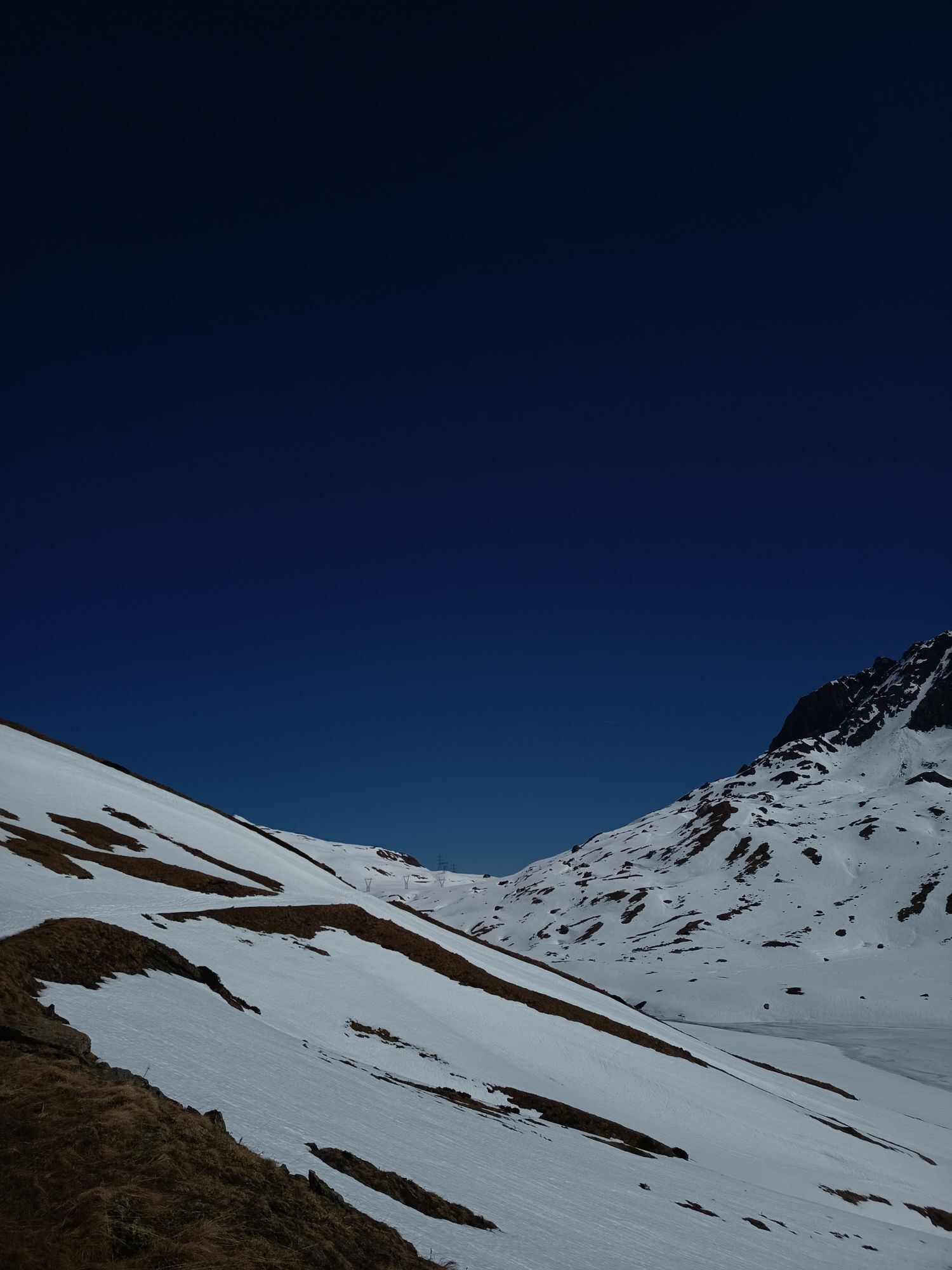
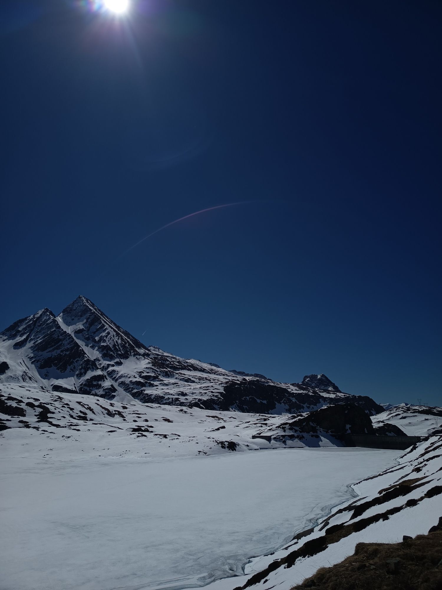
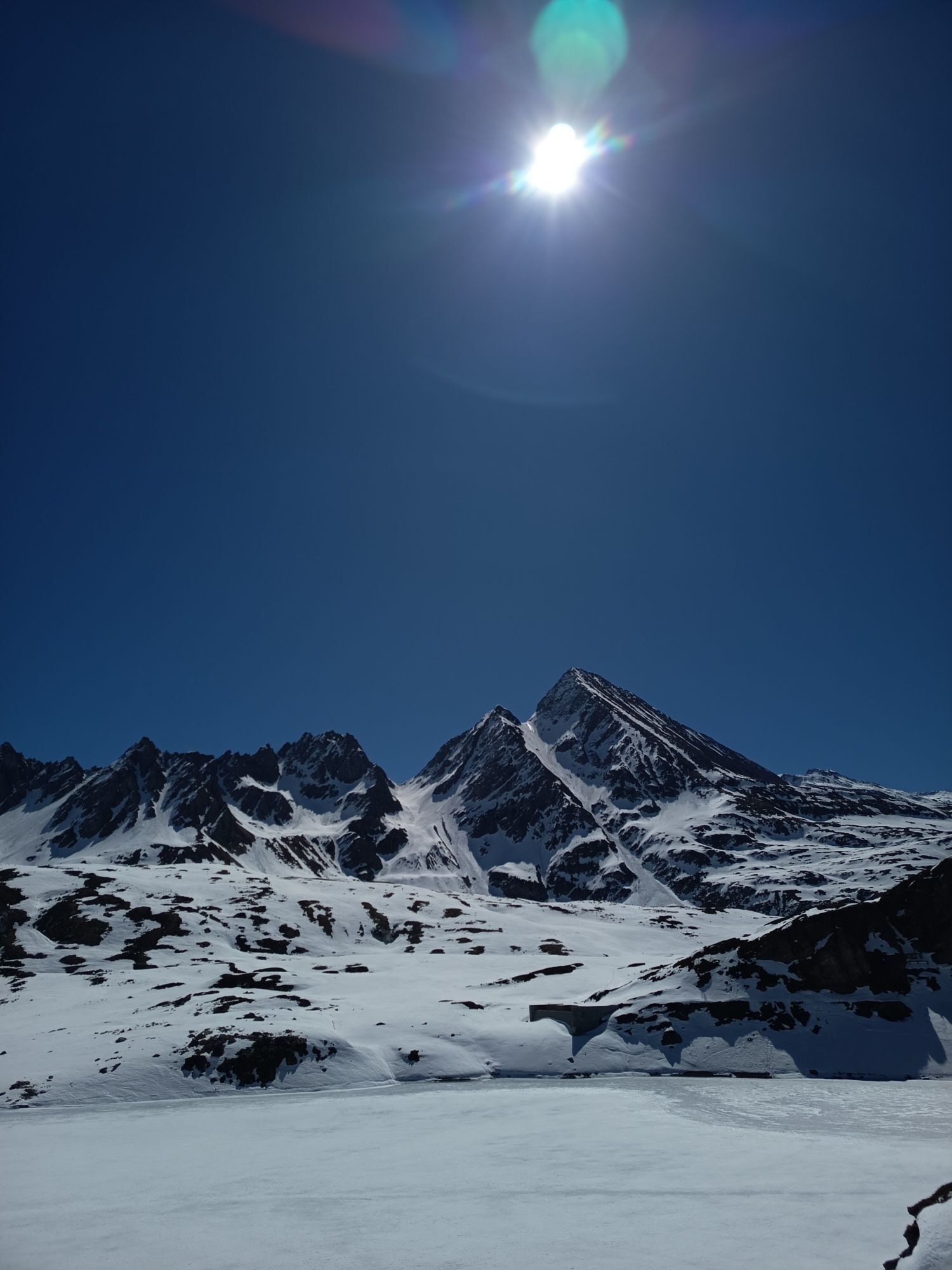
The road starts from the Toce waterfall and the route is characterized by hairpin bends and reduced slopes, flanked by stone walls and arches from which you can take unique photos of the Riale plain and the peaks of Alta Formazza. After this first stretch of climb, the road continues on a slight slope crossing the basin of Alpe Toggia, reaching the Maria Luisa refuge and skirting the dam of Lake Toggia. The climb increases to reach Passo San Giacomo, where already in 1885 there was a small shelter where telegraphers stayed and from which a beautiful view opens up over the Swiss Val Bedretto (Switzerland). Here new fortifications were built in the 1930s which became the heart of the defense system of the homonymous pass: the "Grandinagia" artillery fort and the "San Giacomo" armored fort.

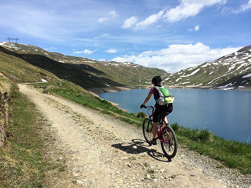
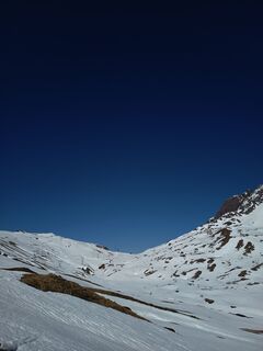
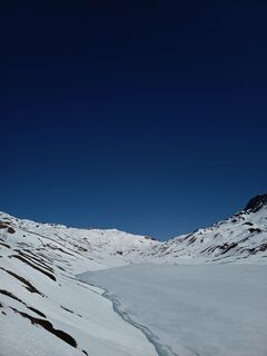
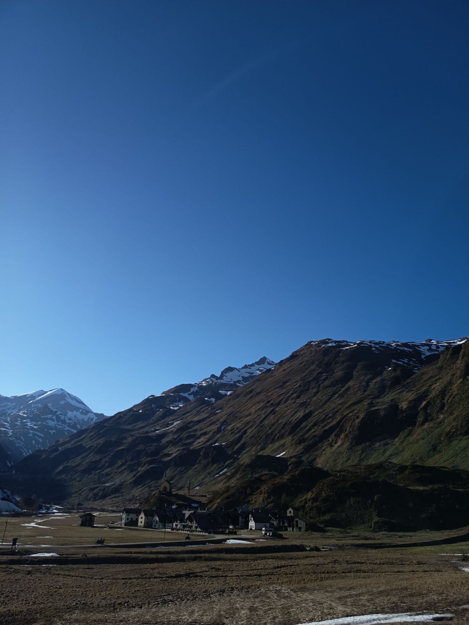
The first section of the route, which starts from the Toce waterfall (1685 m asl) and arrives at the hamlet of Riale di sotto, takes place on asphalt along state road 659. Just before reaching the hamlet of Riale (1740 m asl), the road it branches off and here the dirt road begins which continues to Lake Toggia and arrives at Passo San Giacomo (2313 m asl). After the first stretch of climb, the road continues on a slight slope crossing the basin of Alpe Toggia, reaching the Maria Luisa refuge and skirting the dam of Lake Toggia. Continuing slightly uphill, you arrive at Passo San Giacomo which offers a beautiful view of the Val Bedretto (Switzerland)
Tak
Aktywności na trasie
-

Formazza, Piemonte/Italia
07.03.2026 – Wycieczka narciarska -

Formazza, Piemonte/Italia
01.03.2026 – Wędrówka -
Formazza, Piemonte/Italia
26.02.2026 – Inline-Skating -

Rif.MariaLuisa e Lago Toggia da Riale gen26
21.01.2026 – Rakieta do chodzenia po śniegu -
Formazza, Rif.Maria Luisa
02.01.2026 – Wędrówka -

Formazza, Piemonte/Italia
29.12.2025 – Wędrówka -
Formazza, Piemonte/Italia
29.12.2025 – Wycieczka narciarska -

Formazza, Piemonte/Italia
14.12.2025 – Wycieczki górskie -

Da Riale a lago Toggia e rifugio Maria Luisa a/r
24.01.2025 – Wędrówka
Popularne wycieczki w okolicy
-
5,0
9 lake-trail
ciężkiWędrówka 17,3 km -
4,8
Ciaspolata al Rifugio Maria Luisa
średniRakieta do chodzenia po śniegu 11,2 km -
4,0
Foroglio-Calnègia-Foroglio
średniWędrówka 8,37 km -
4,0
Capanna Piansecco
światłoRakieta do chodzenia po śniegu 7,26 km -
Glaciological Path
średniWędrówka 8,18 km -
5,0
Toce Waterfall - Riale - San Giacomo Pass road
średniWędrówka 10,9 km -
Lago del Naret-Sasso Nero-Lago del Naret
średniWędrówka 8,55 km -
2,0
Circular hike Furka Pass-Tällistock
średniWędrówka 11,0 km -
5,0
Bignasco-San Carlo
średniWędrówka 12,8 km -
5,0
Bosco Gurin-Lago Melo-Lago Pero-Bosco Gurin
średniWędrówka 10,6 km

Wędrówki i tropienie


Nie przegap ofert i inspiracji na następne wakacje
Twój adres e-mail została dodana do listy mailingowej.