






Wine trail: Saillon to Sion (stage 2)
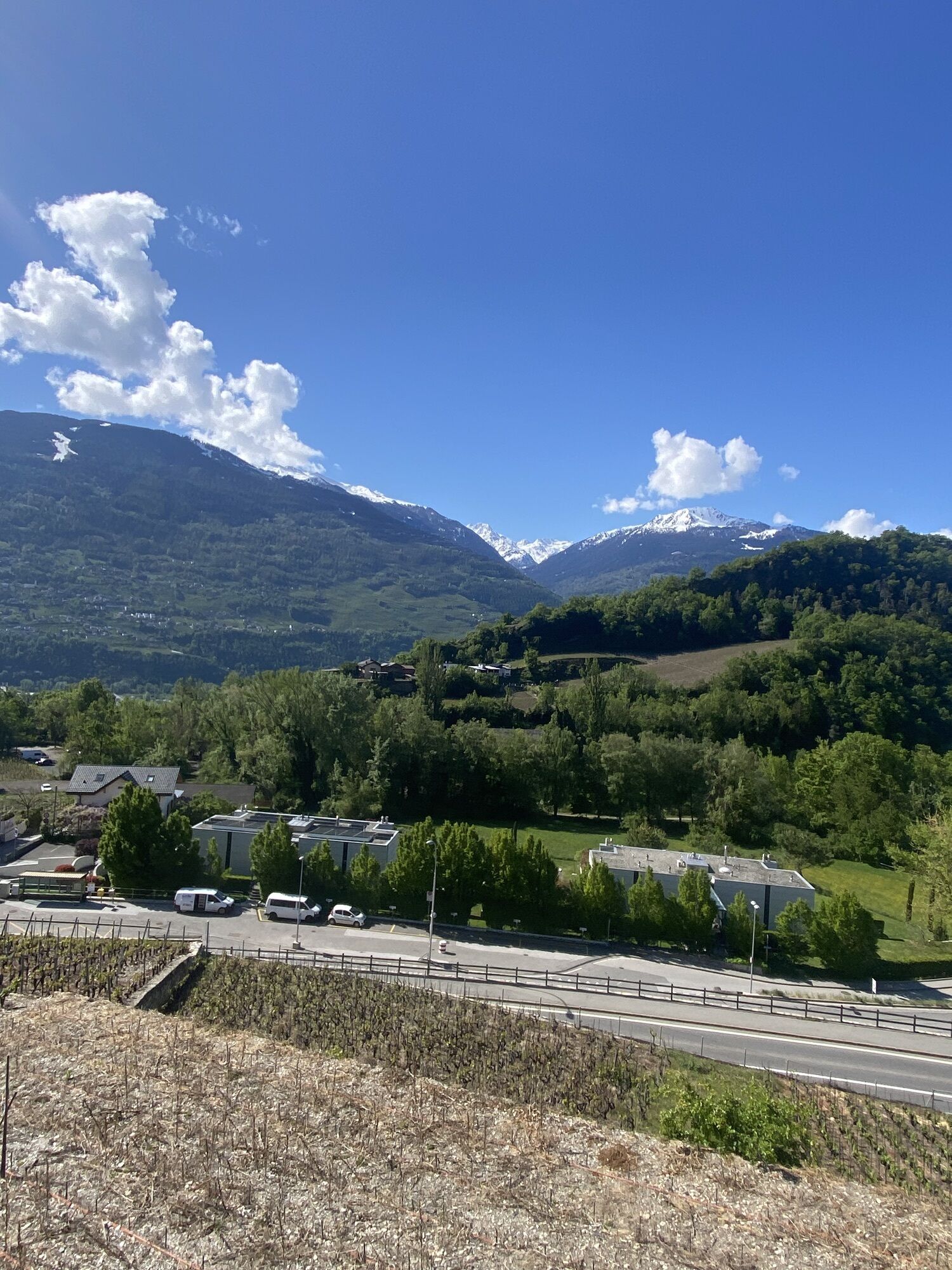
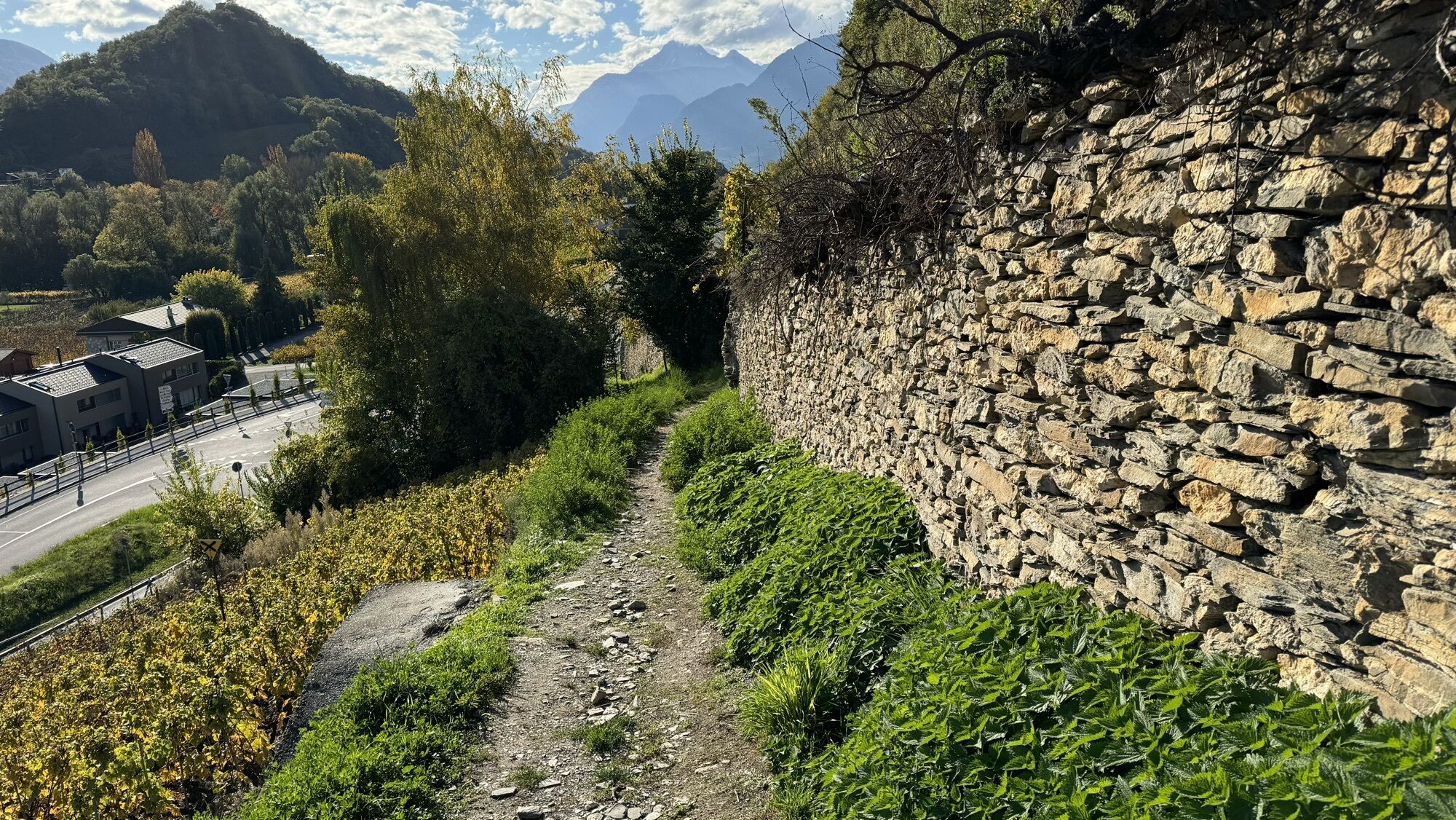
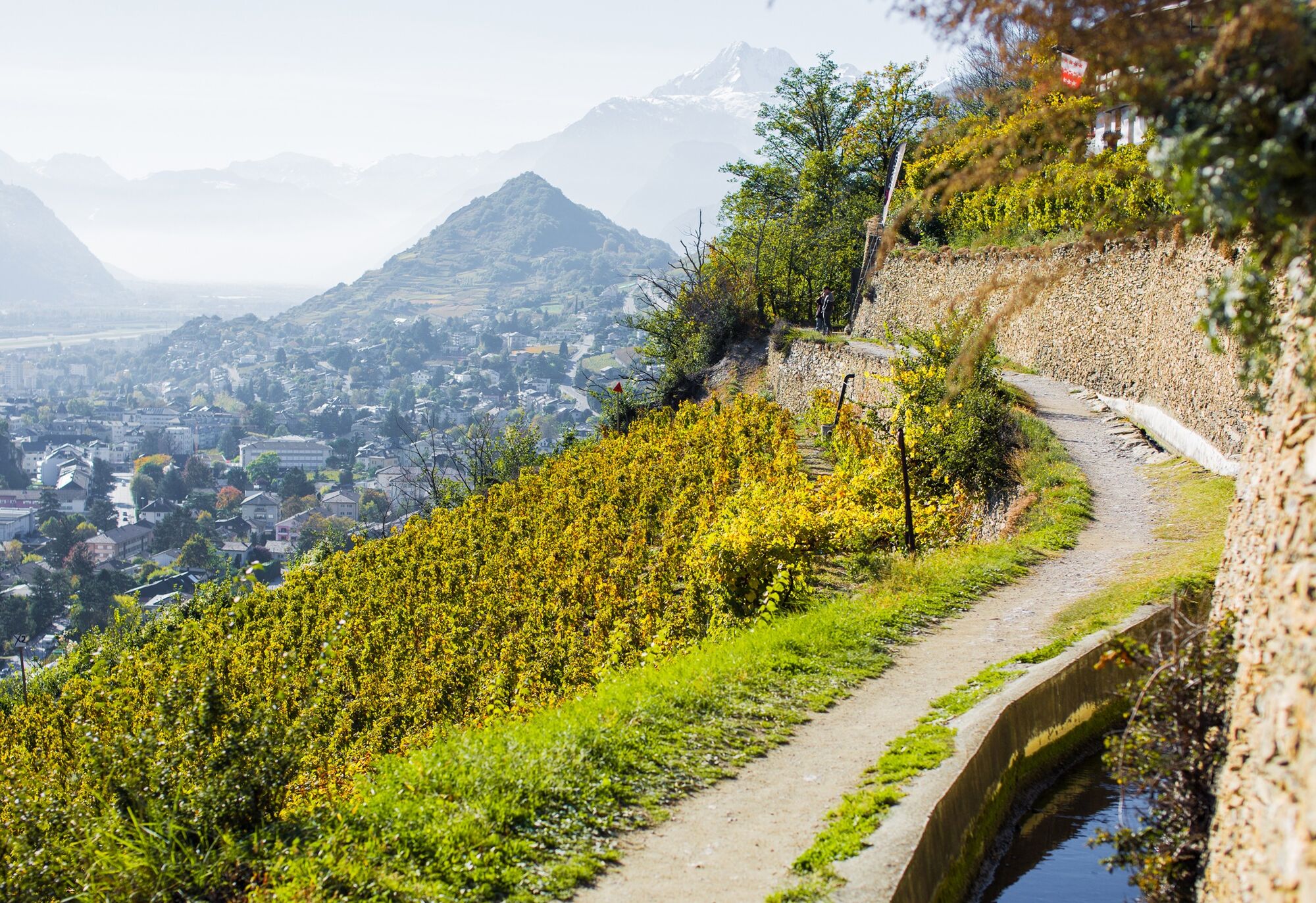
The wine trail follows a panoramic route along the sunny south-facing slopes of the Rhone Valley and through charming winegrower villages of the Valais wine region. The wine trail can be explored in three...
The wine trail follows a panoramic route along the sunny south-facing slopes of the Rhone Valley and through charming winegrower villages of the Valais wine region. The wine trail can be explored in three ways – by car, by bike, or on foot. On the 65-kilometer hike consisting of 4 stages, you will not miss any of the numerous sights.
The second stage of the wine trail connects two fascinating places: the medieval village Saillon with the cantonal capital Sion. Both have a historic core at the foot of rocky hills with castles and are therefore worth a visit.
Shortly after you leave the winding alleys of Saillon, the path crosses the Salentse, known especially for its legendary gorge. Here Joseph-Samuel Farinet, known as the Swiss “Robin Hood” coin forger, hid from the authorities. The Salentse is just one of several streams crossed on this stage.
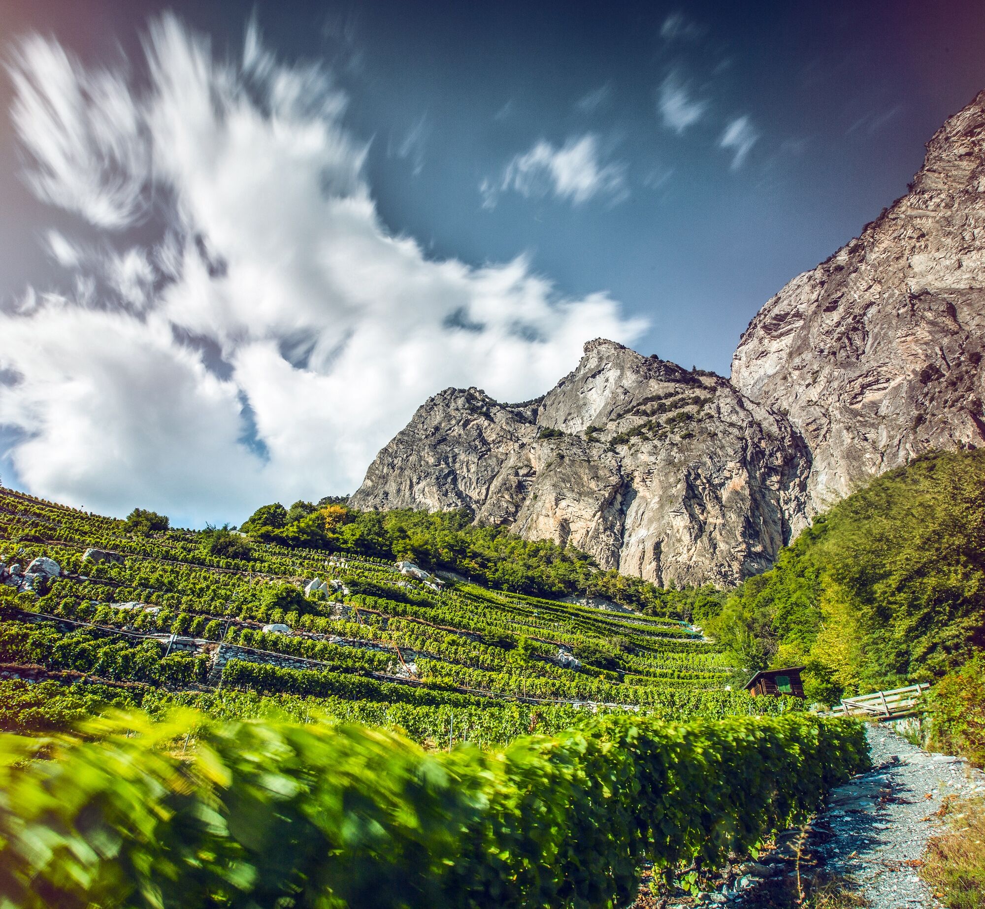
Above Leytron, the path leads below high rocks over the large debris cone in Chamoson. This was formed by rockfalls from ancient times and has now been converted into vineyard land.
The extraordinary variety of topography and geology of the region enables the cultivation of many different types of wine. Many of the winegrower villages along the wine trail are known for the cultivation of certain wines: for example Leytron for Humagne or Vétroz for Amigne. Along the route, numerous atmospheric restaurants and cellars invite you to taste selected wines and regional products.
Highlights of the hike:
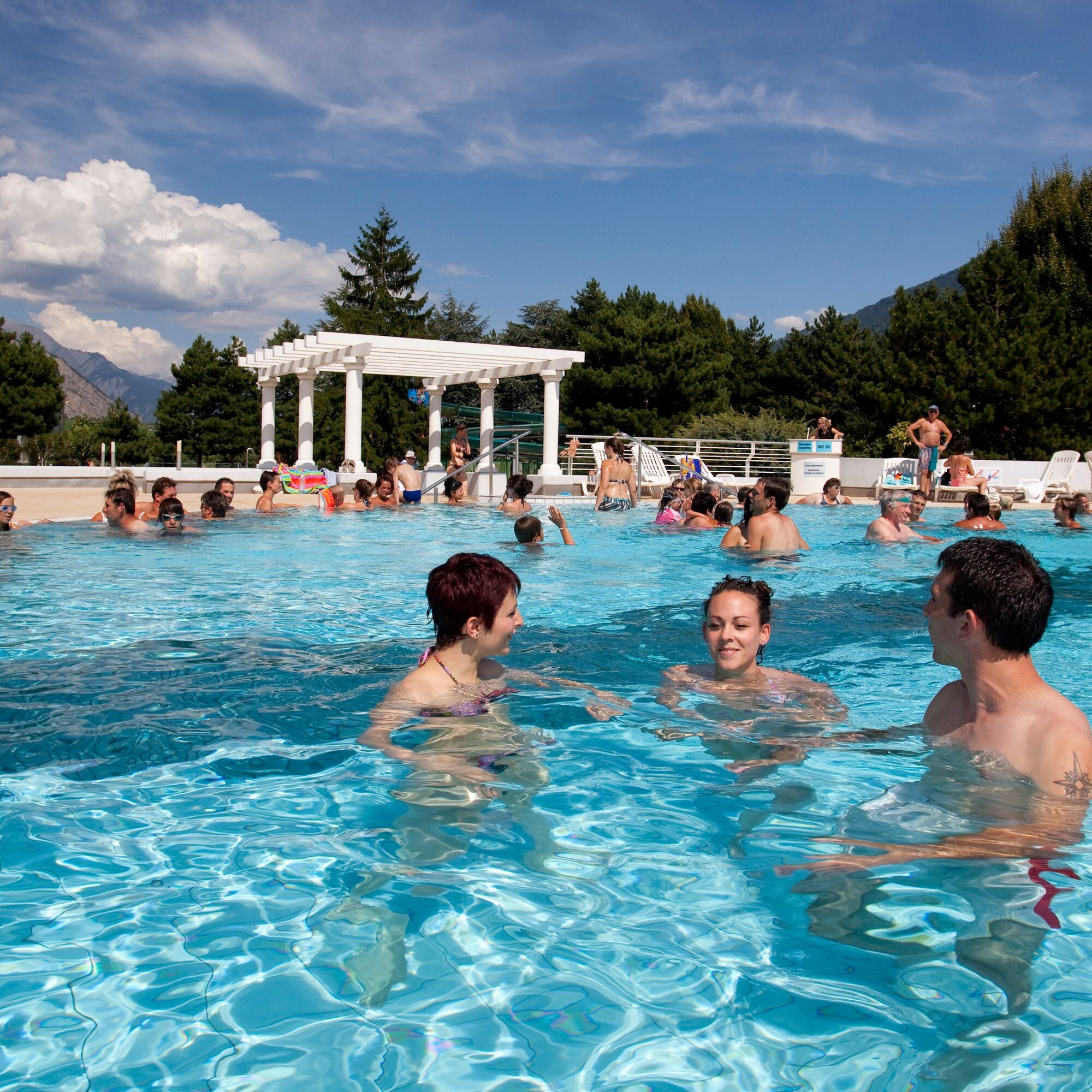
Saillon – the unique medieval village with thermal baths, wine educational trail, via ferrata, and suspension bridge. Dramatic landscapes with rocks and gorges and spectacular views over the Rhone Valley. Numerous restaurants and cellars with opportunities for wine tastings. Sion with its long history: castles, museums, churches, and cathedrals are worth a visit.

At the foot of the hill of the historic village center of Saillon is the bus stop «Les Moilles» near the starting point of the hike. A path leads towards the historic village center to the start.
The path is well marked and easy to follow. It passes some sights worth seeing, for example the Swiss Museum of Speleology above Chamoson. A beautiful wine trail connects Chamoson with the medieval village of St-Pierre-de-Clages just before Sion. A nature trail lets you discover the reed landscape around the peaceful lake below Mont d’Orge.
The path ends at the northern outskirts of Sion, where the Sionne comes to the surface from the underground canal. From there a bus goes to the train station – however, if time and energy permit, the walking path through the historic town center below the two famous castles on the hills of Sion is recommended.
Tak
We recommend:
Good footwear Weather-dependent clothing: always carry a waterproof vest Headgear Sunscreen Water bottle Picnic Camera Binoculars (optional) Trekking poles (optional) Printout of the hiking trail (click "Print" to download)For certain hikes:
SwimsuitThe mountains, a place of joy to share and respect. The mountain world is a place to meet and experience unforgettable moments together – whether by bike or on foot. To ensure all users can benefit, it is essential to share this space with respect for nature and agriculture. Respectful behavior allows everyone to enjoy their leisure activities under the best conditions. Inform yourself about recommendations and rules. Assess your own skills and physical condition well. Using the various routes is generally at your own risk.
For all hikes:
Carry a map with you. Download the complete description of the hiking trail with a large-scale map by clicking on "Print" at the top right of the page. Use only marked trails and observe all signs and instructions - for your own safety, for the protection of grazing animals, and out of respect for wildlife. Close gates after passing through. Be considerate towards other trail users, plants, and animals.For mountain hikes:
Carry additional sun protection. UV rays at high altitudes can be very strong, even in cloudy weather. Plan your hike carefully: consider the required fitness level of all participants, weather forecasts, and seasonal dependencies. The weather conditions in the mountains can change very quickly and without warning. Appropriate clothing and sufficient provisions (food and drink) are very important. In unstable weather, it is better to turn back early.For high alpine hikes:
Inform your family about your hiking route. If possible, avoid going alone. Do not enter glaciers without a mountain guide. Observe warning signs indicating dangers at riverbanks, along watercourses below dams and reservoirs: water levels can rise quickly and without warning.Motorway A9, exit 23 (Saxon) coming from the west or exit 24 (Riddes) coming from the east. Follow the signs to Saillon.
Regular train connections to Martigny or Sion, followed by post bus to Saillon (stop «Les Moilles»). At the end of the hike, by bus (stop «Brasserie») or on foot through the old town of Sion to the train station. Detailed timetables for trains and post buses can be found at sbb.ch.
Parking spaces in Saillon at the thermal baths or in the historic village center. Follow the local parking guidance system in Saillon.
Kamery internetowe z trasy
Uzyskaj wgląd
Zawsze na żywo z ponad 9 500 kamer internetowych. bergfex Jako użytkownik Pro, możesz teraz zobaczyć odpowiednie kamery internetowe dla wielu wycieczek w aplikacji wycieczki od. Pozwala to na bezpośredni podgląd aktualnych warunków.
Popularne wycieczki w okolicy
-
5,0
From Saillon to the Farinet suspension bridge
średniWędrówka 7,86 km -
From Savoleyres to the mountain lake Lac des Vaux
średniWędrówka 14,0 km -
4,5
Cleuson Dam
średniWędrówka 11,5 km -
Tour du Grand Chavalard
średniWędrówka 14,9 km -
4,0
Tripon - Brac – Ancien Bisse du Torrent Neuf – St. Marguerite – Torrent Neuf – Prafirmin - St. Germain
światłoWędrówka 12,9 km -
4,5
The Larches of Balavaux
światłoWędrówka 11,0 km -
5,0
Tour de La Seya hike
średniWędrówka 8,09 km -
4,0
Belvédère via ferrata
średniVia ferrata 1,81 km -
Via Farinetta
ciężkiVia ferrata 6,41 km -
3,5
The Ahornweg « La Voie des Erables »
ciężkiWędrówka 9,66 km

Wędrówki i tropienie


Nie przegap ofert i inspiracji na następne wakacje
Twój adres e-mail została dodana do listy mailingowej.





