


From Savoleyres to the mountain lake Lac des Vaux
Zdjęcia naszych użytkowników
 © O QuiriciUtworzono dnia 20.09.2025
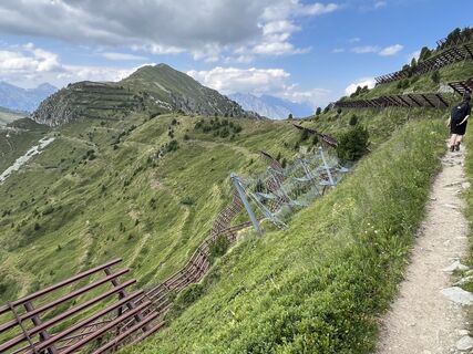
 © Giulio VanniniUtworzono dnia 20.07.2025
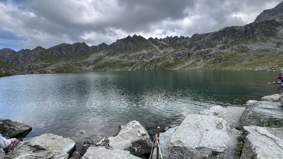 © Giulio VanniniUtworzono dnia 20.07.2025
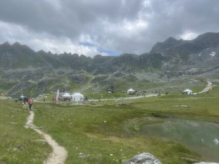 © Giulio VanniniUtworzono dnia 20.07.2025
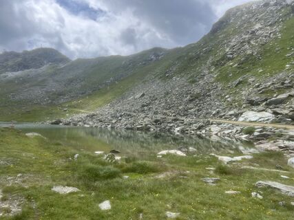 © Giulio VanniniUtworzono dnia 20.07.2025
 © Giulio VanniniUtworzono dnia 20.07.2025
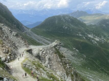 © Giulio VanniniUtworzono dnia 20.07.2025
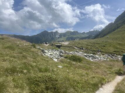 © Giulio VanniniUtworzono dnia 20.07.2025
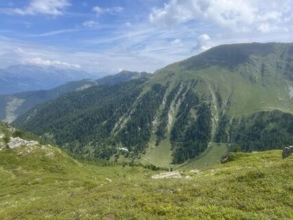 © Giulio VanniniUtworzono dnia 20.07.2025
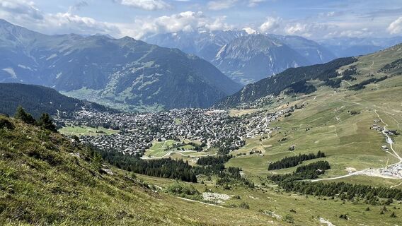 © Giulio VanniniUtworzono dnia 20.07.2025
 © HarmUtworzono dnia 19.12.2025


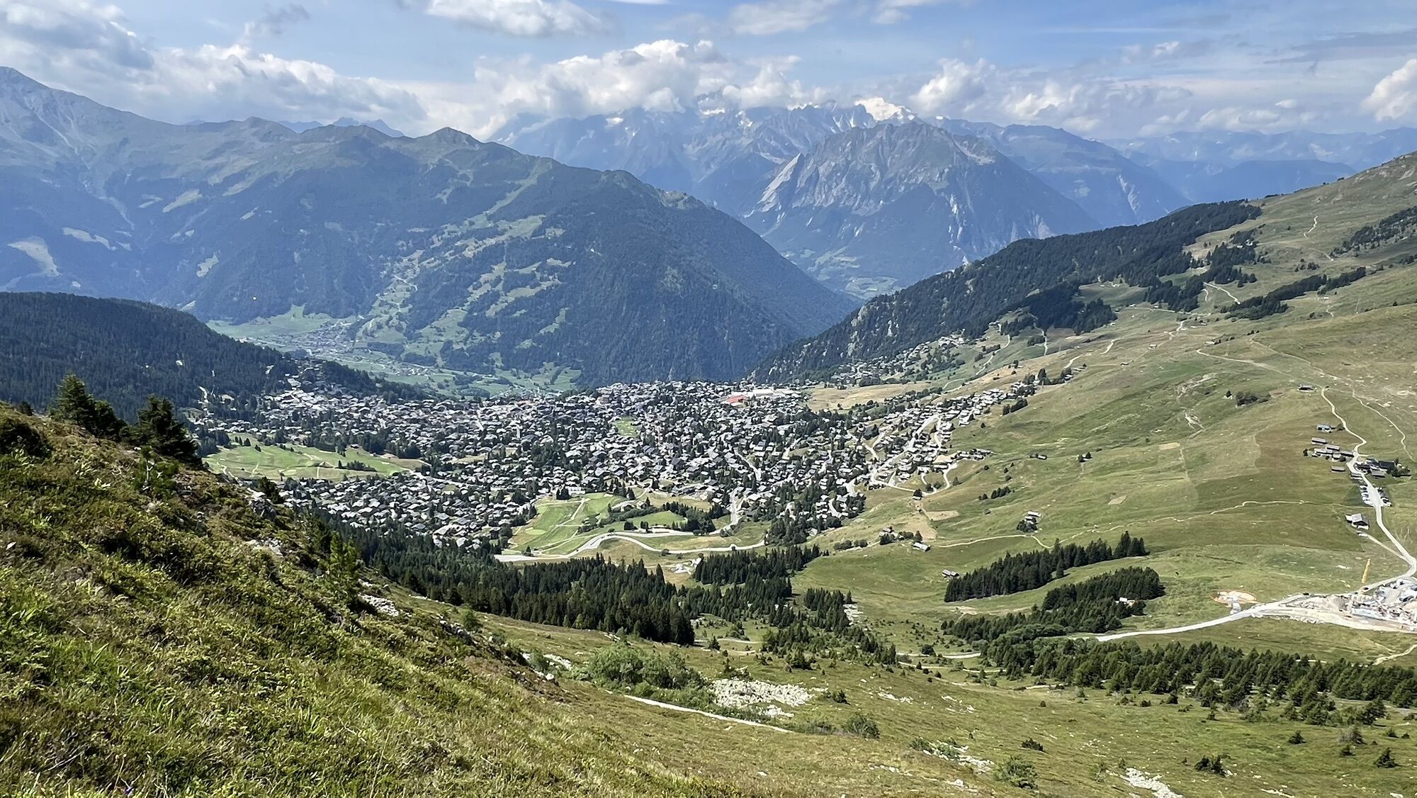
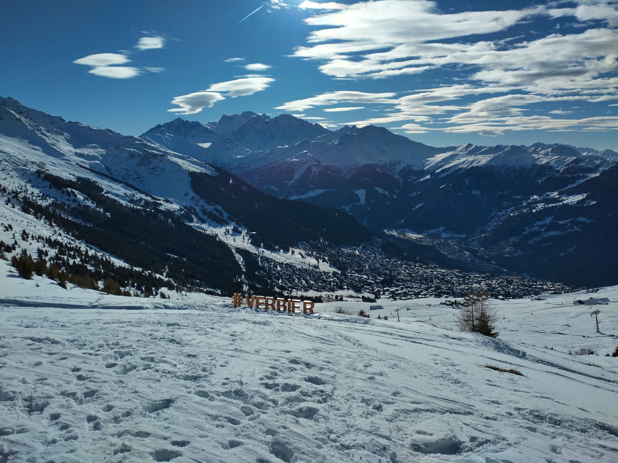
The gondola takes you from La Tzoumaz to Savoleyres (2,354 m above sea level), with glorious views in all directions: into the Rhône Valley, down to Verbier and the Val de Bagnes, across to the Grand Combin...
The gondola takes you from La Tzoumaz to Savoleyres (2,354 m above sea level), with glorious views in all directions: into the Rhône Valley, down to Verbier and the Val de Bagnes, across to the Grand Combin massif and Mont Blanc.
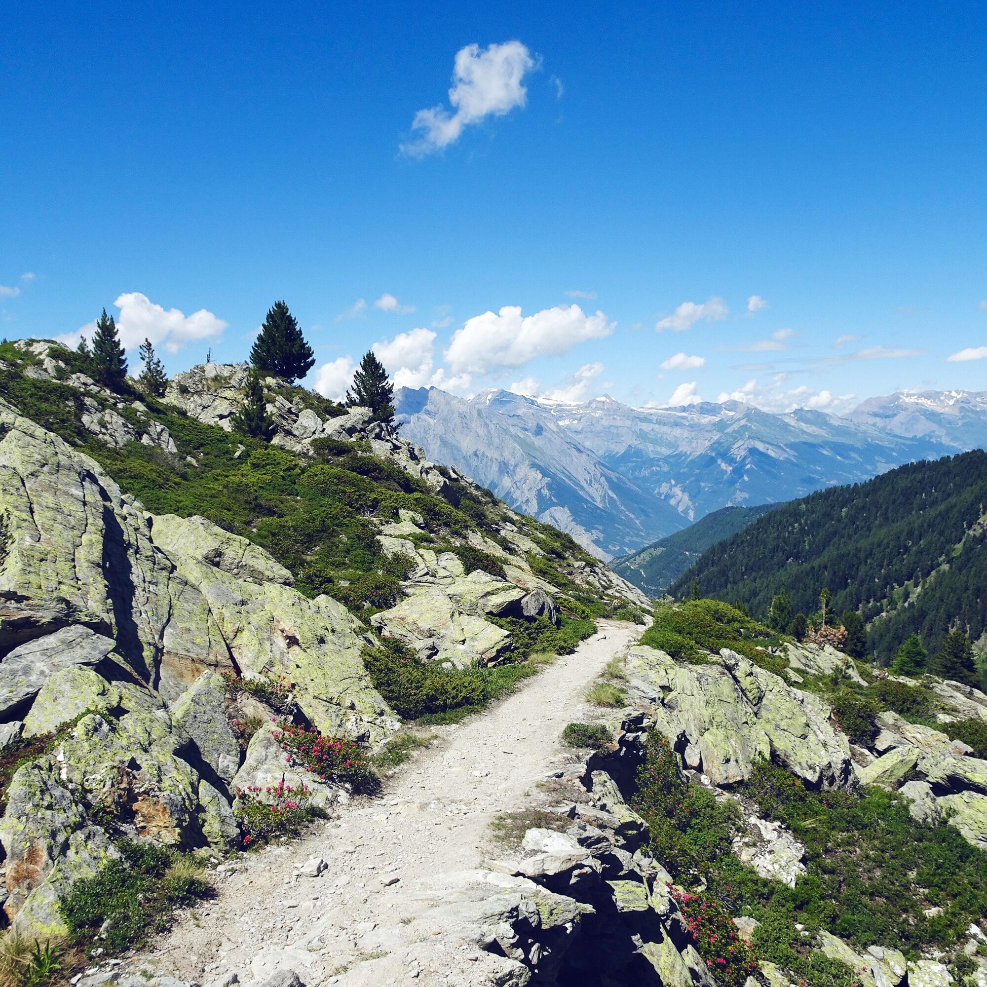
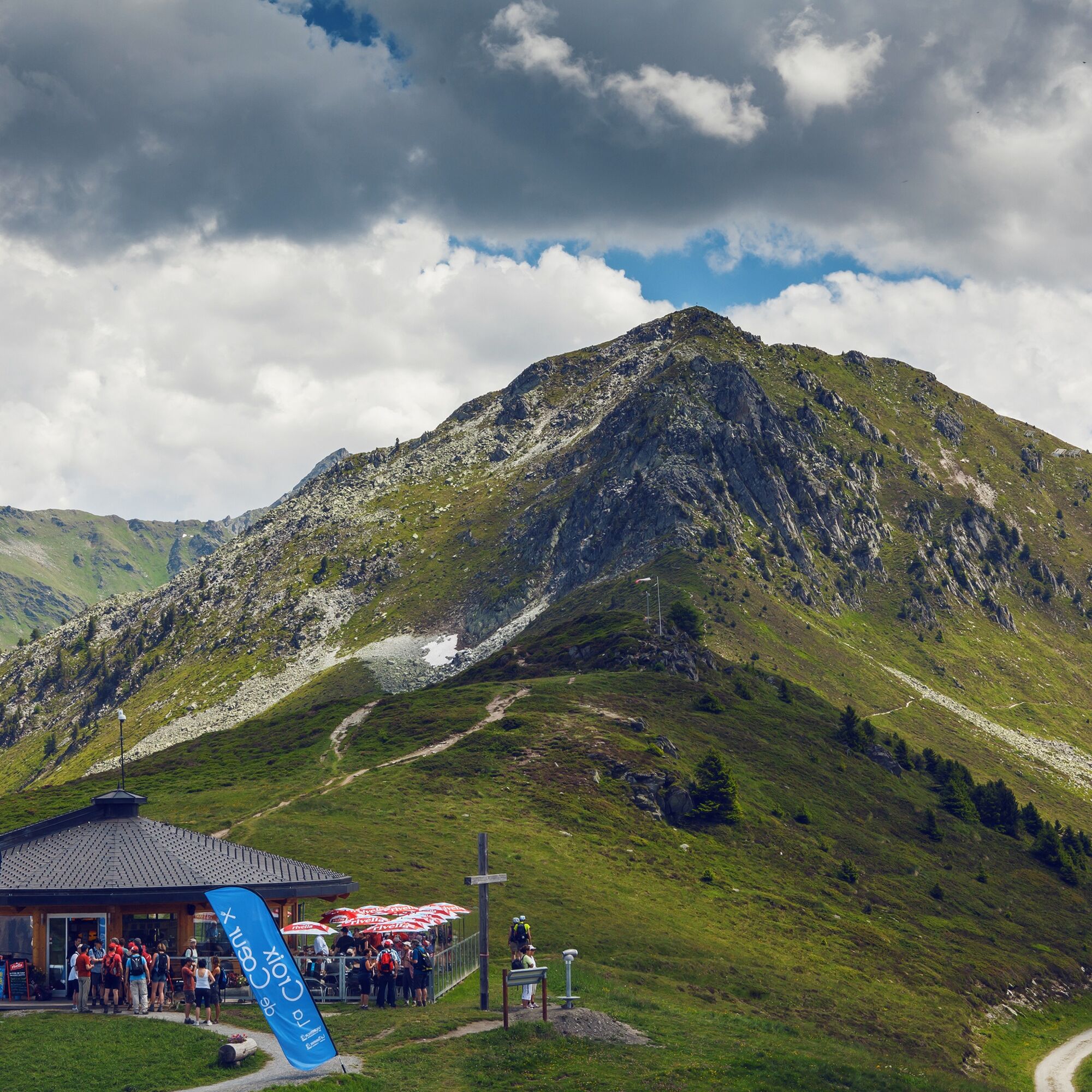
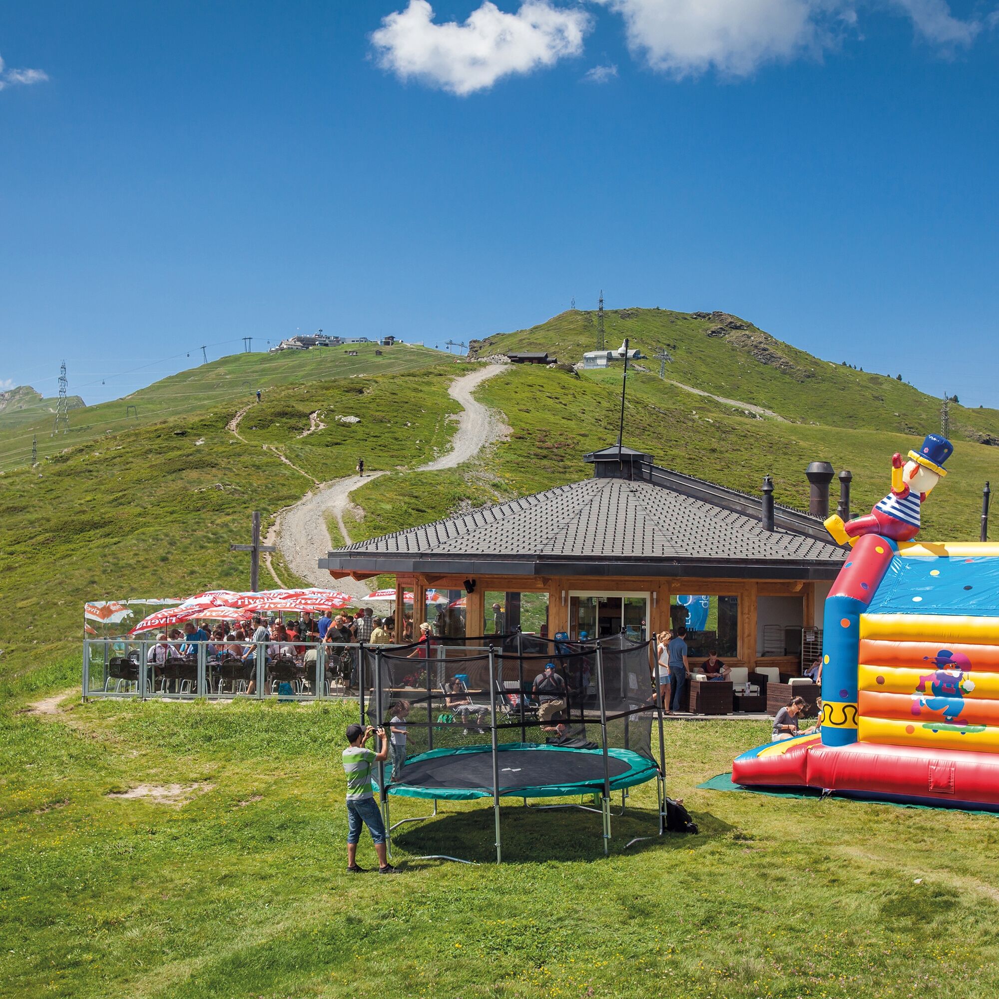
The first section of the hike follows the ridge down to the Col de Croix de Coeur. The restaurant with panoramic views and a small helicopter landing pad invites you to stay. The path then continues with a steep ascent to the Col des Mines where hikers can still see the historic remains of the mining works. Miners extracted lead ore rich in silver, which was used to produce the Swiss 1-franc coins. The mine operated until its bankruptcy in 1861.
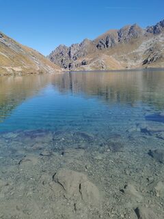
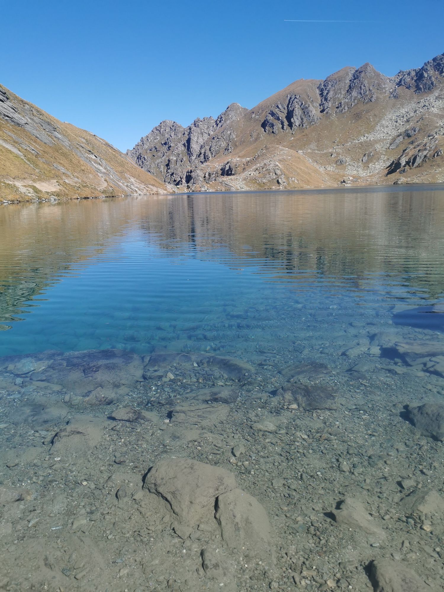
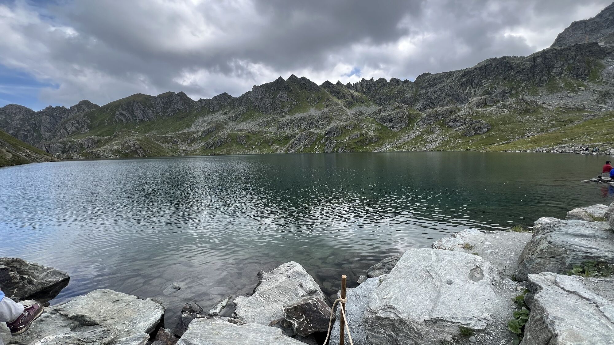
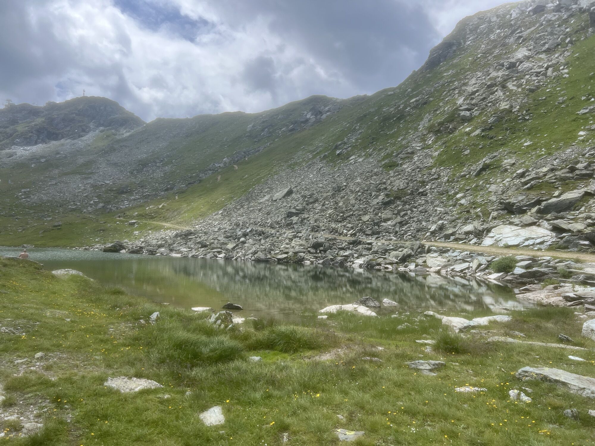
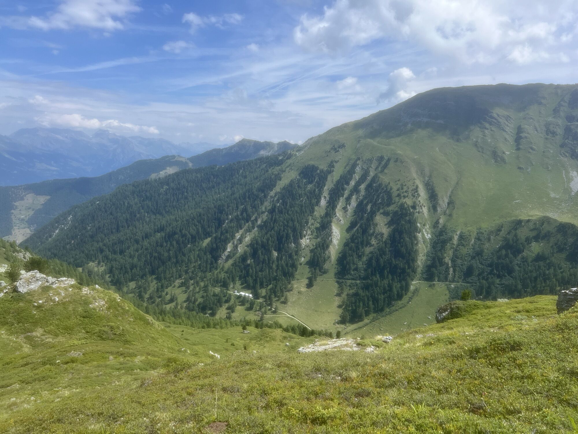
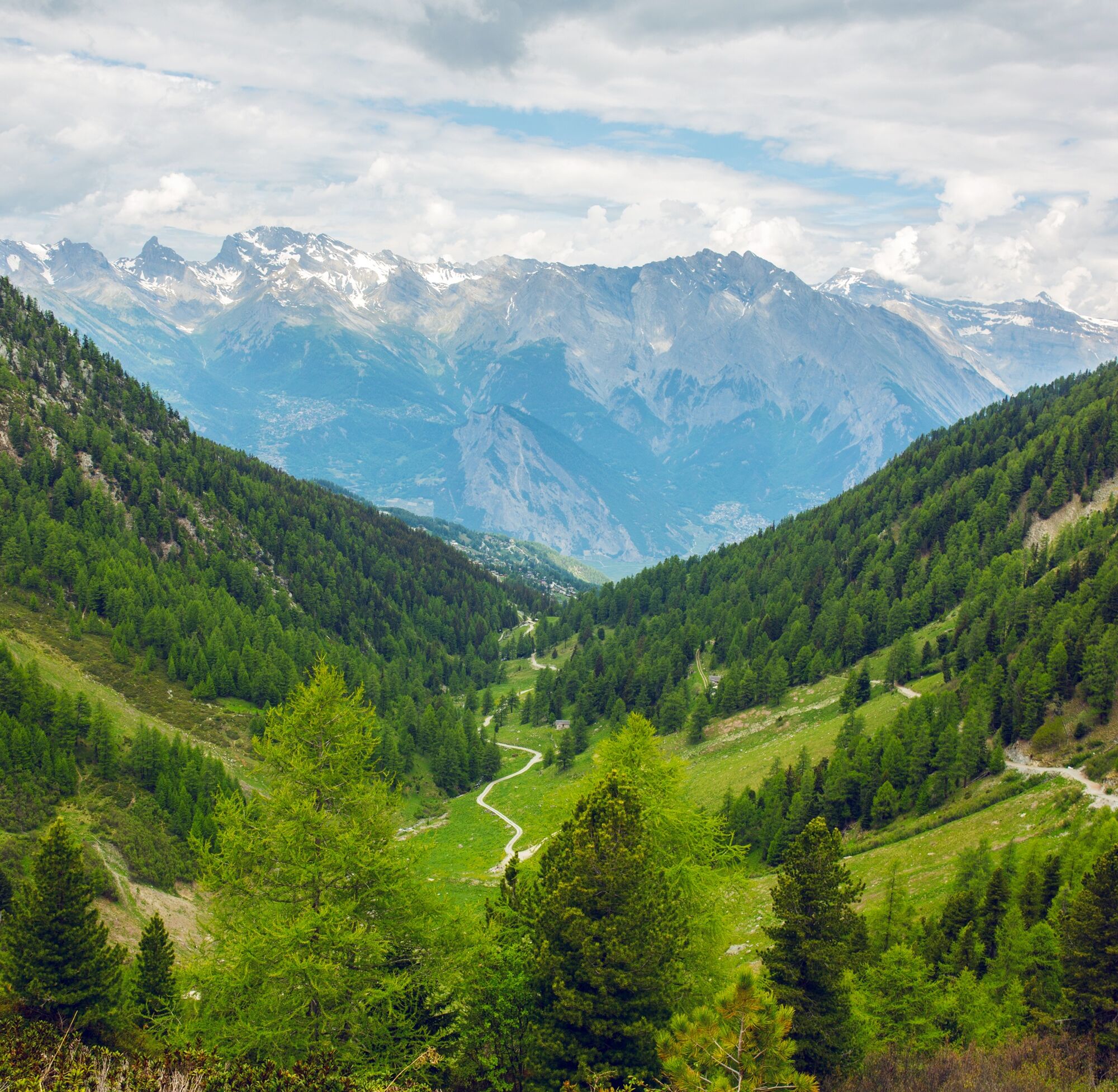
Beyond the pass, the path continues upwards past three mountain lakes – the ideal place for a short break. Then the path leads into the Vallon de Chassoure, also known as the Vallon d’Arbi: a pristine and alpine valley where you can observe wildlife well.
At Les Pontets, the path leaves the bank of the river La Fare and leads to the Suone of Saxon, a historic irrigation canal of Valais. Shortly after the suone, you reach the barbecue site of Le Marteau, equipped with tables and a grill.
Then the path leaves the suone and passes the forest house "Maison de la Forêt." This is definitely worth a visit; the café, exhibitions, and botanical garden with numerous medicinal plants are very special. Afterwards, the hiking trail leads down to the chalets of La Tzoumaz and further to the gondola. The Savoleyres mountain railway is open from July to August.
Highlights of the route:
Gondola ride with beautiful mountain scenery and panoramic views 3 different cafés and restaurants are located directly on this hiking trail, and there is also a barbecue site for a picnic. Idyllic nature: Lacs des Vaux, Vallon d’Arbi Suone of Saxon – historic irrigation canal.
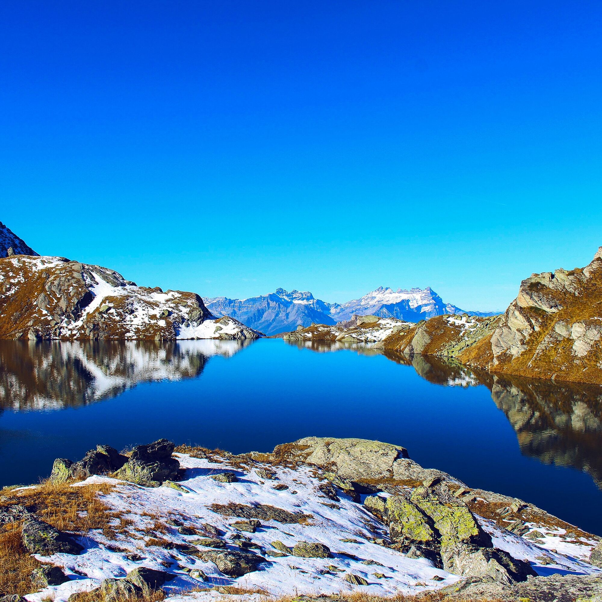
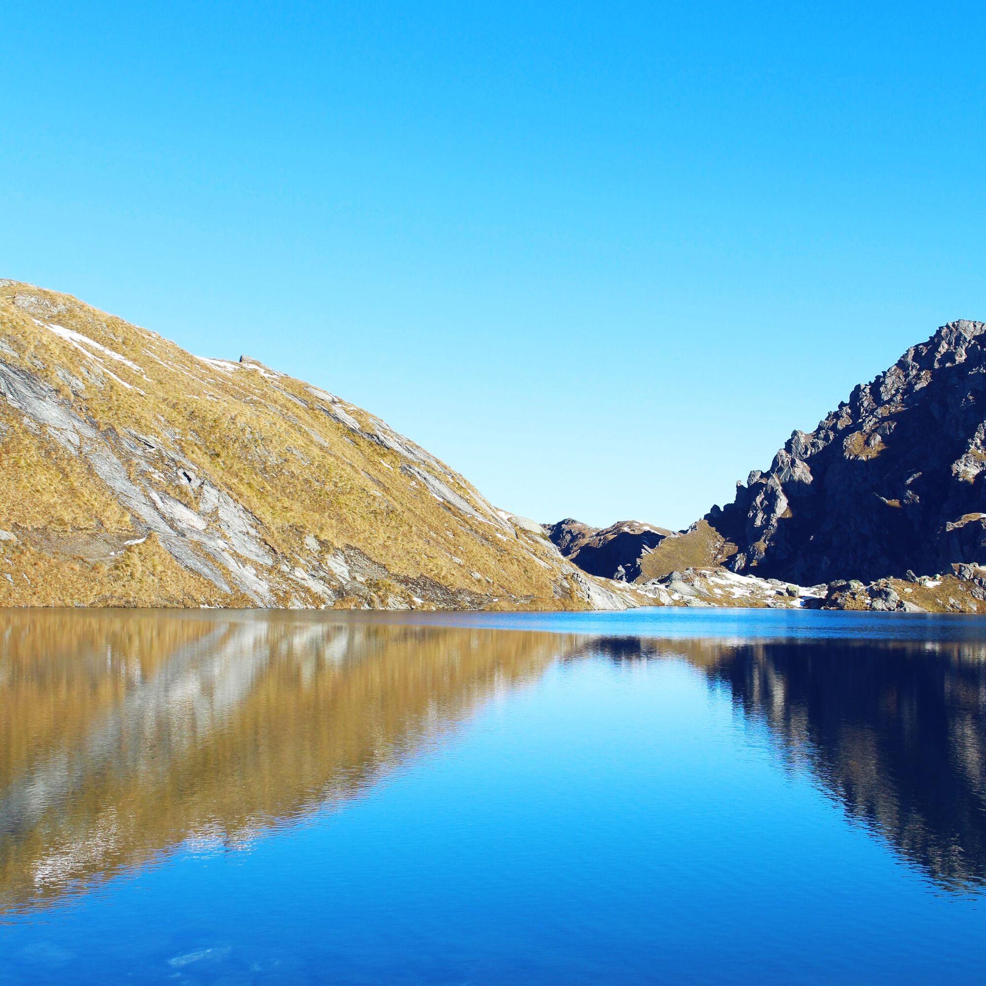
The first part of the hiking trail follows eastwards along the ridge of Savoleyres – first down to the Col de Croix de Coeur and then upwards again to the Tête des Etablons. The path soon turns right, along the southern flank with views over Verbier and the Val de Bagnes. At the Col de Mines pass, the trail finally leads northwards from where you can enjoy the view over the Rhône Valley. The steep ascent takes hikers to Lac des Vaux and the two smaller lakes beside it.
The remaining part of the hike is all downhill. First zigzagging down into the basin of Chassoure and into the peaceful Vallon d’Arbi along the right bank of the mountain stream La Fare. Some of the water is diverted into the Suone of Saxon, which the path follows for about a kilometer. Then it turns right and descends to La Tzoumaz, where you return to the gondola station.
Tak
We recommend:
Good footwear Weather-dependent clothing: always carry a waterproof vest Headgear Sunscreen Water bottle Picnic Camera Binoculars (optional) Hiking poles (optional) Printout of the hiking trail (click "Print" to download)For certain hikes:
SwimsuitUse of the hiking trails and information on this website is at your own risk. Conditions on site may cause changes to the route. Valais/Wallis Promotion accepts no responsibility for the accuracy and completeness of the information on this website. Assess your own abilities and condition well. Using the various routes is fundamentally at your own risk.
For all hikes:
Carry a map with you. Download the complete description of the hiking trail with a large-scale map by clicking "Print" at the top right of the page. Use only marked hiking trails and consider all signposts and instructions – for your own safety, to protect grazing animals, and out of respect for wildlife. Close gates after passing through. Behave considerately towards other trail users, plants, and animals.For mountain hikes:
Carry additional sun protection. UV rays at high altitudes can be very strong, even in cloudy weather. Plan your hike carefully: consider the required fitness level of all participants, weather forecasts, and seasonal dependencies. Weather conditions in the mountains can change very quickly and without warning. Suitable clothing and sufficient provisions (food and drink) are very important. In unstable weather, it is better to turn back early.For high alpine hikes:
Inform your family about your hiking route. If possible, avoid going alone. Do not go onto glaciers without a mountain guide. Observe warning signs indicating dangers at riverbanks, along watercourses below dams and reservoirs: water levels may rise quickly and without warning.Motorway A9, exit 24 (Riddes), then follow the signs to La Tzoumaz.
Regional trains on the Simplon line to Riddes. Then PostBus to La Tzoumaz and gondola to Savoleyres. Train and PostBus schedules can be found at sbb.ch.
Free long-term parking near the valley station of the gondola. Follow the local parking guidance system in La Tzoumaz.
More information about the destination:
La TzoumazThe ridge around Croix de Coeur is a popular take-off point for paragliders and hang-gliders. In good flying conditions, the spectacle can be observed up close.
Popularne wycieczki w okolicy
- 5,0
From Saillon to the Farinet suspension bridge
średniWędrówka 7,86 km - 5,0
Sentier des bouquetins
średniWędrówka 8,73 km - 4,5
Cleuson Dam
średniWędrówka 11,5 km Tour du Grand Chavalard
średniWędrówka 14,9 km- 4,5
The Larches of Balavaux
światłoWędrówka 11,0 km - 5,0
Tour de La Seya hike
średniWędrówka 8,09 km - 4,0
Sentier des Chamois
ciężkiWędrówka 11,6 km Via Farinetta
ciężkiVia ferrata 6,41 km- 3,5
The Ahornweg « La Voie des Erables »
ciężkiWędrówka 9,66 km - 3,0
Via ferrata in the Mauvoisin Gorge
średniVia ferrata 1,77 km
Wędrówki i tropienie


Nie przegap ofert i inspiracji na następne wakacje
Twój adres e-mail została dodana do listy mailingowej.