


Via ferrata in the Mauvoisin Gorge
Poziom trudności: C
The spacing of the footholds in the first section was shortened so that children (from 8 years old) can gain first climbing experiences on via ferratas. The route is located a maximum of 25 meters above...
The spacing of the footholds in the first section was shortened so that children (from 8 years old) can gain first climbing experiences on via ferratas. The route is located a maximum of 25 meters above the Dranse. To avoid disturbing the breeding of various birds, the via ferrata is opened only from July 1 at the earliest.

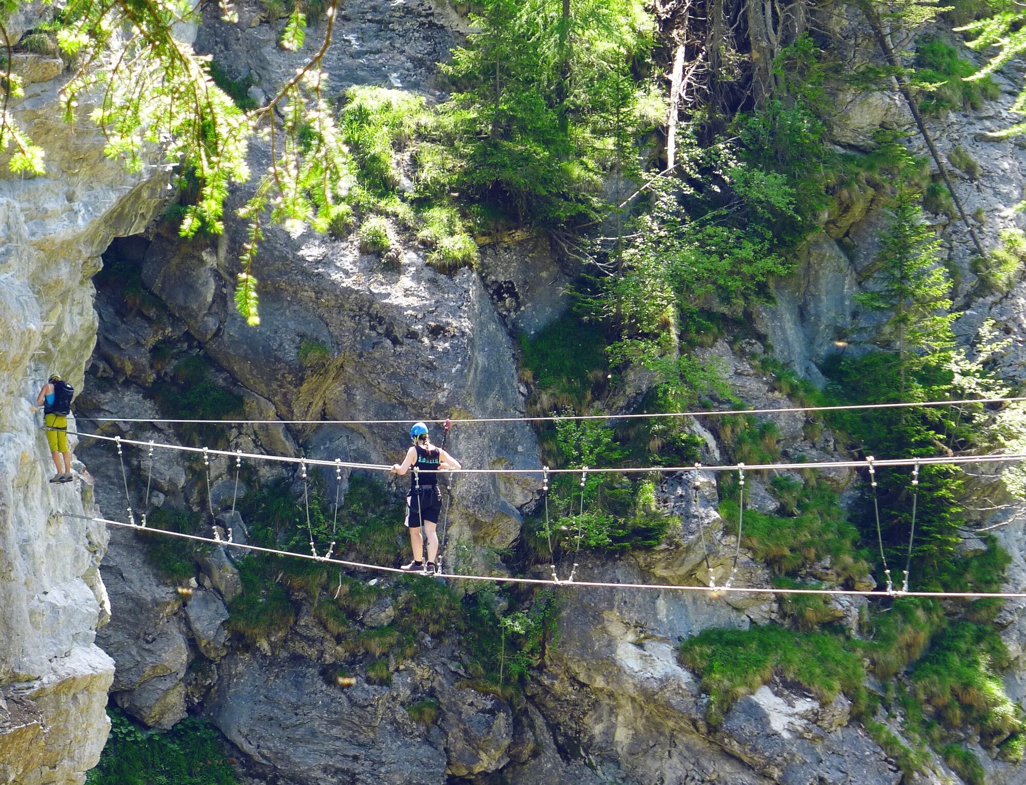
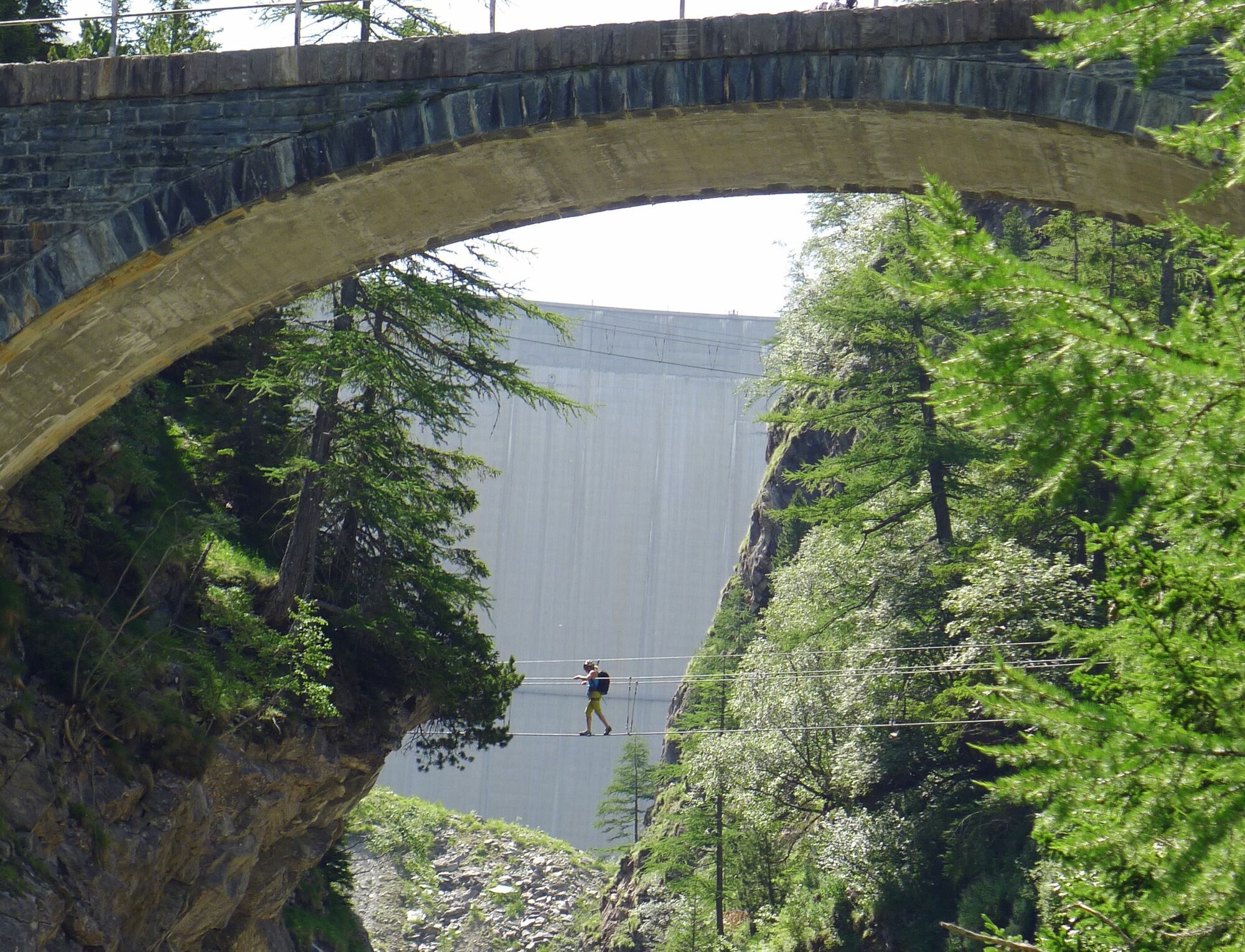
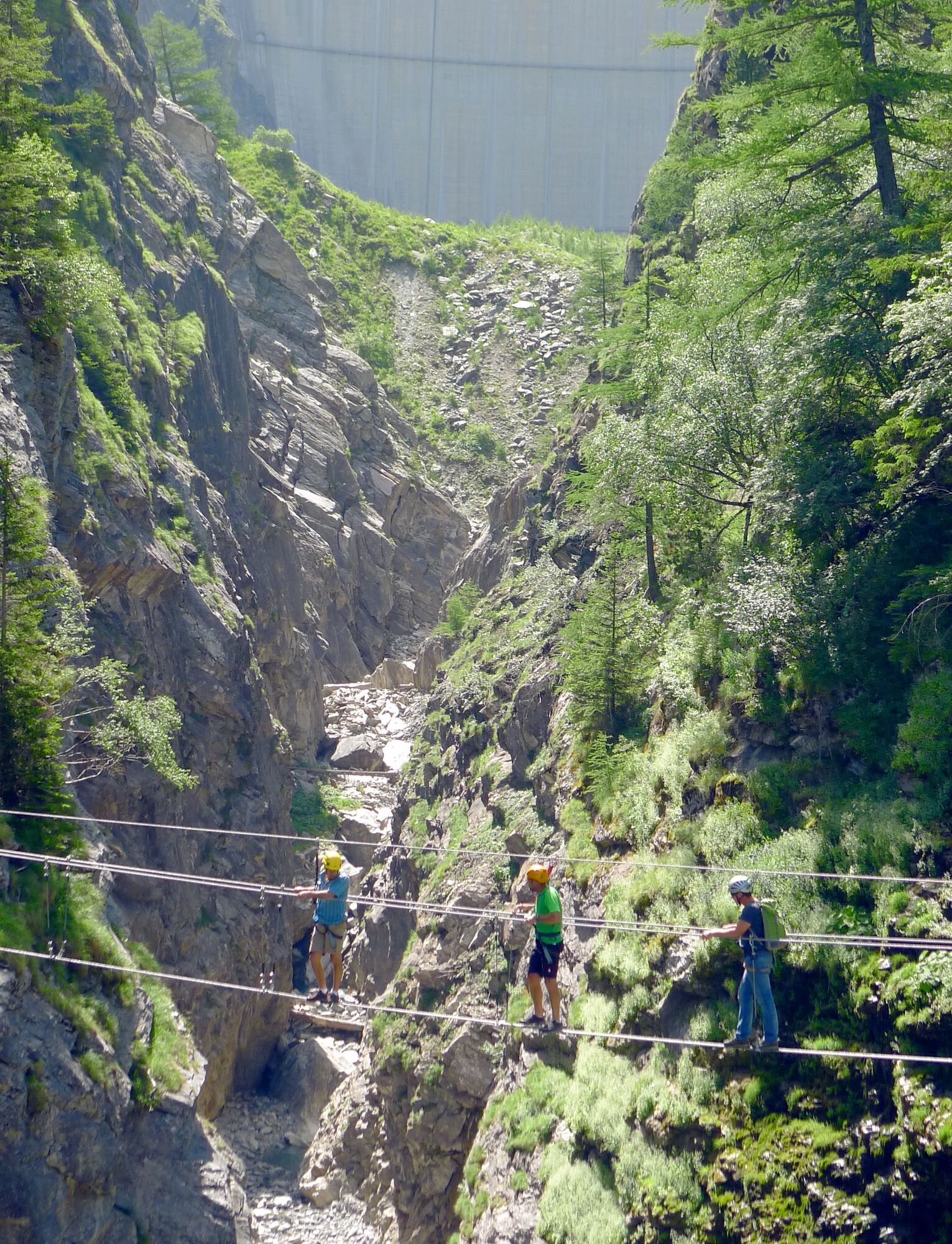
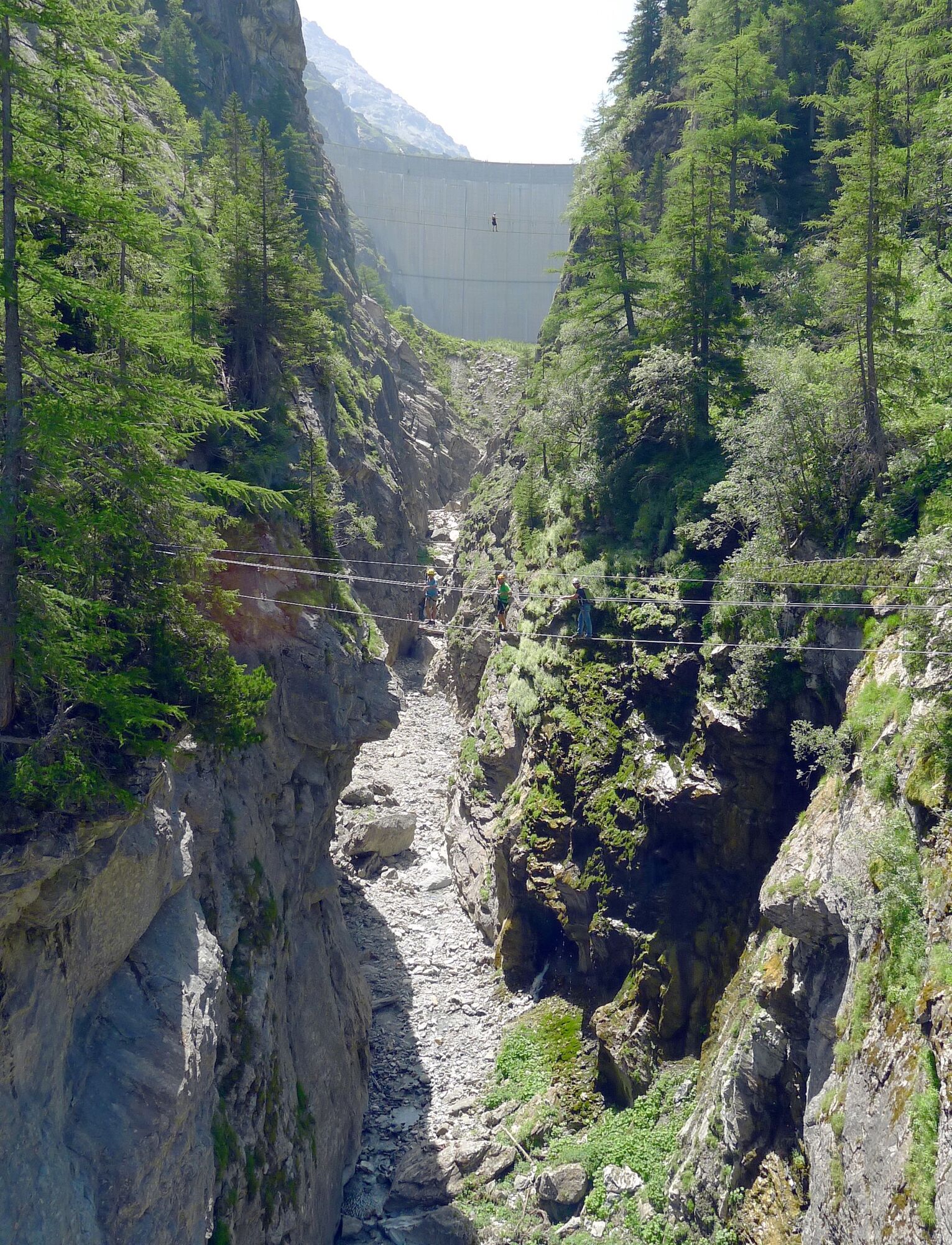
From the parking lot at the Hôtel Mauvoisin, you reach "La Vacheresse" via a hiking trail, where you then walk along a short stretch of the Dranse before reaching the start. The first section "Saxifrage" is rated as easy and suitable for children from 8 years old. It offers various obstacles such as a 15-meter-long rope bridge that crosses the Dranse. The second section is rated as more difficult and is somewhat longer than the first part. After two more crossings of the Dranse, the via ferrata leads to the exit, which is located directly at the Hôtel Mauvoisin.
Tak
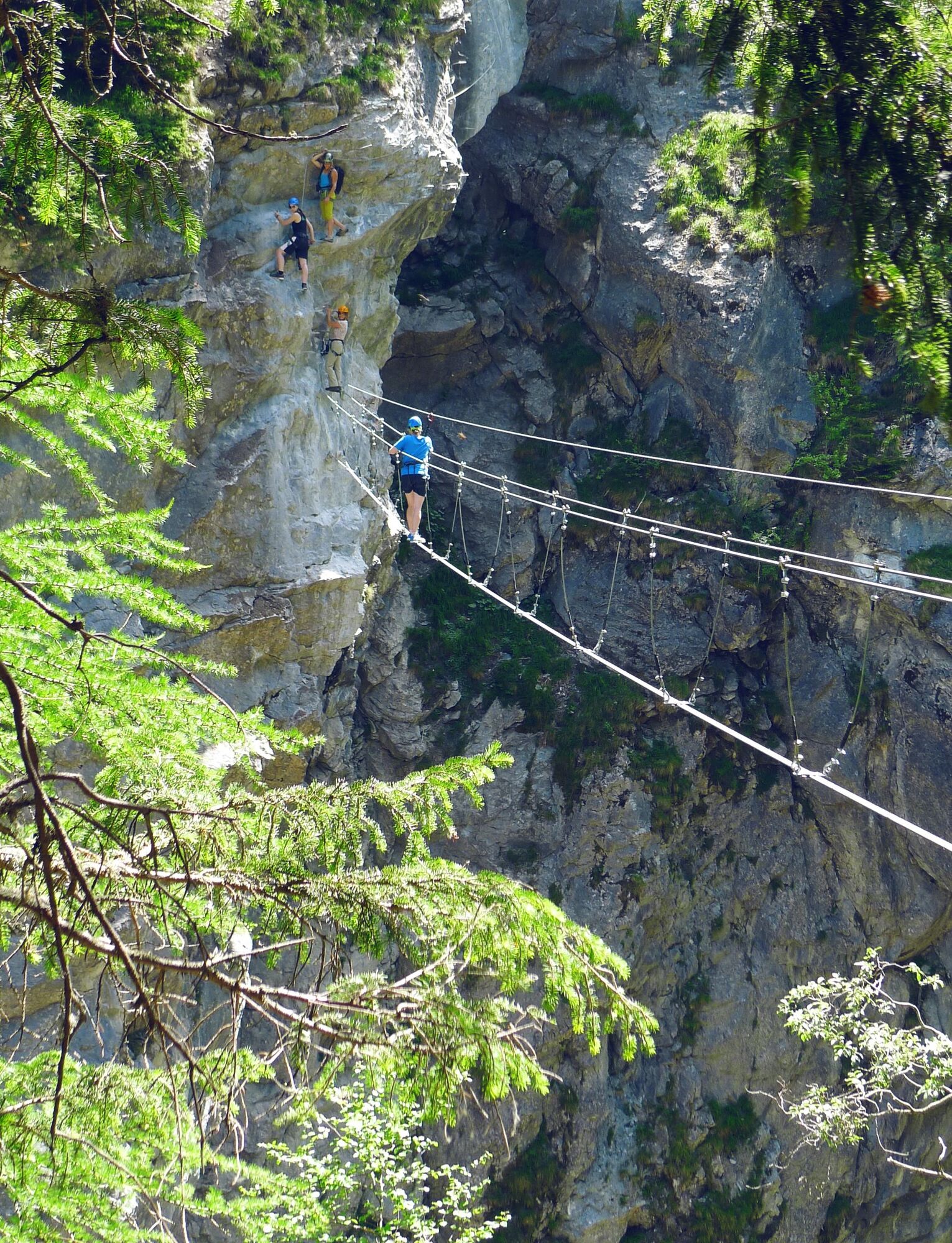
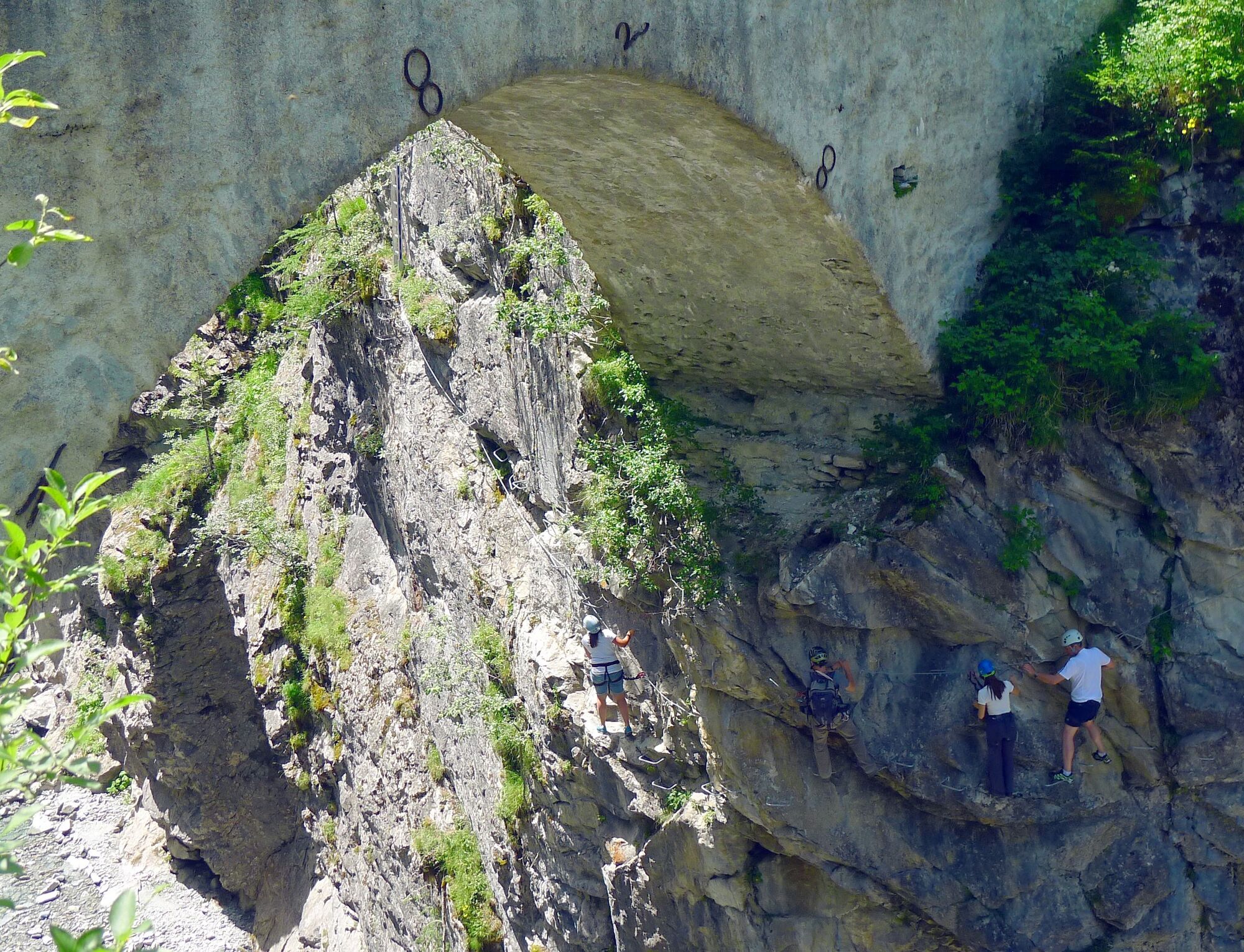
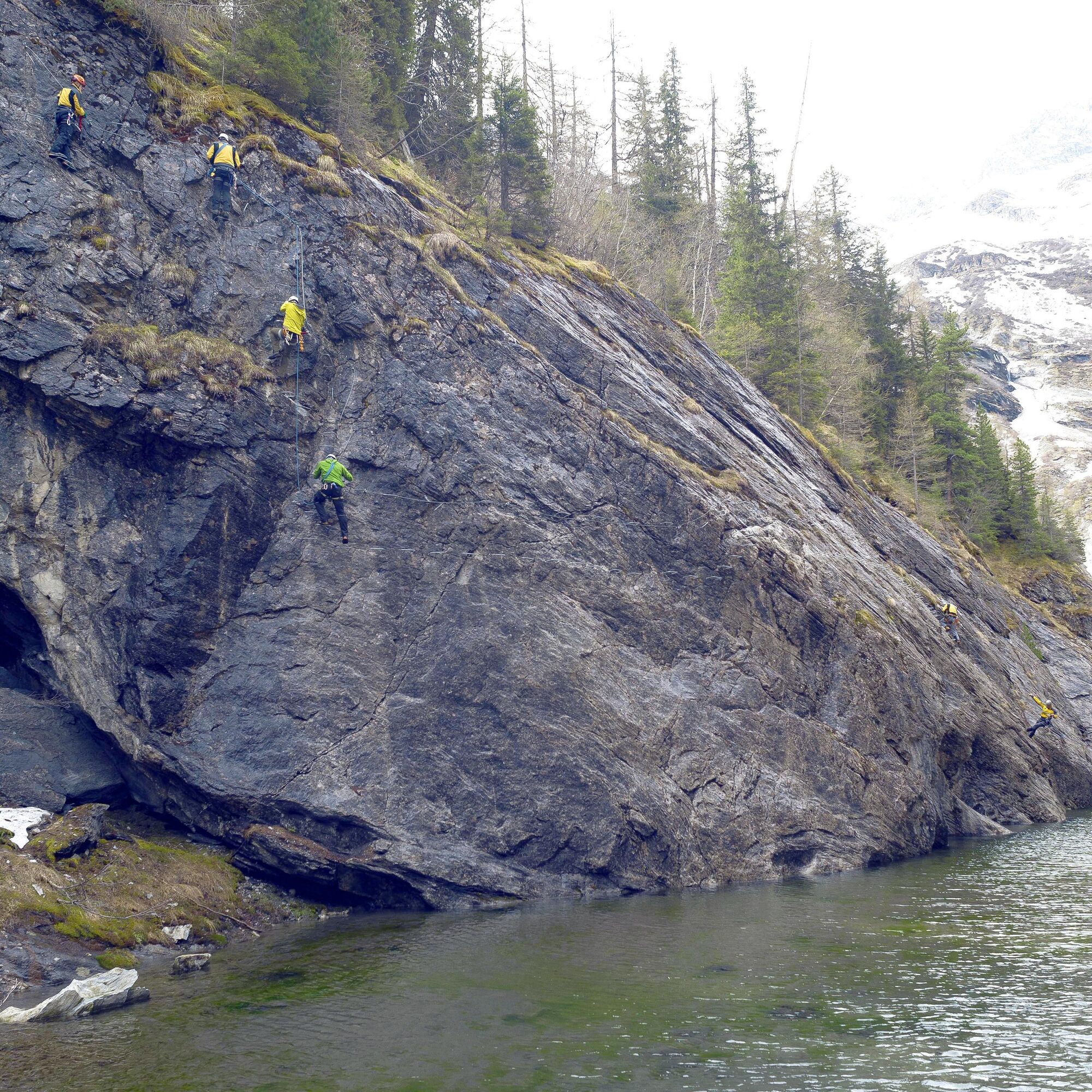
Wearing a hip harness with a via ferrata set for self-protection is mandatory for climbing a via ferrata. Due to the danger of falling rocks, wearing a helmet is also a must.
Pay attention to good footwear, suitable clothing, and sufficient provisions. Gloves provide extra protection for fingers and joints and prevent abrasions.
Weather:If you are on via ferratas, you should consider the weather forecast. Sudden bad weather can be life-threatening. Via ferratas must be avoided in case of thunderstorms.
Risk of falling rocks: On via ferratas, there is a danger of falling rocks, usually caused by preceding climbers or wild animals. Therefore, protect yourself with a helmet.
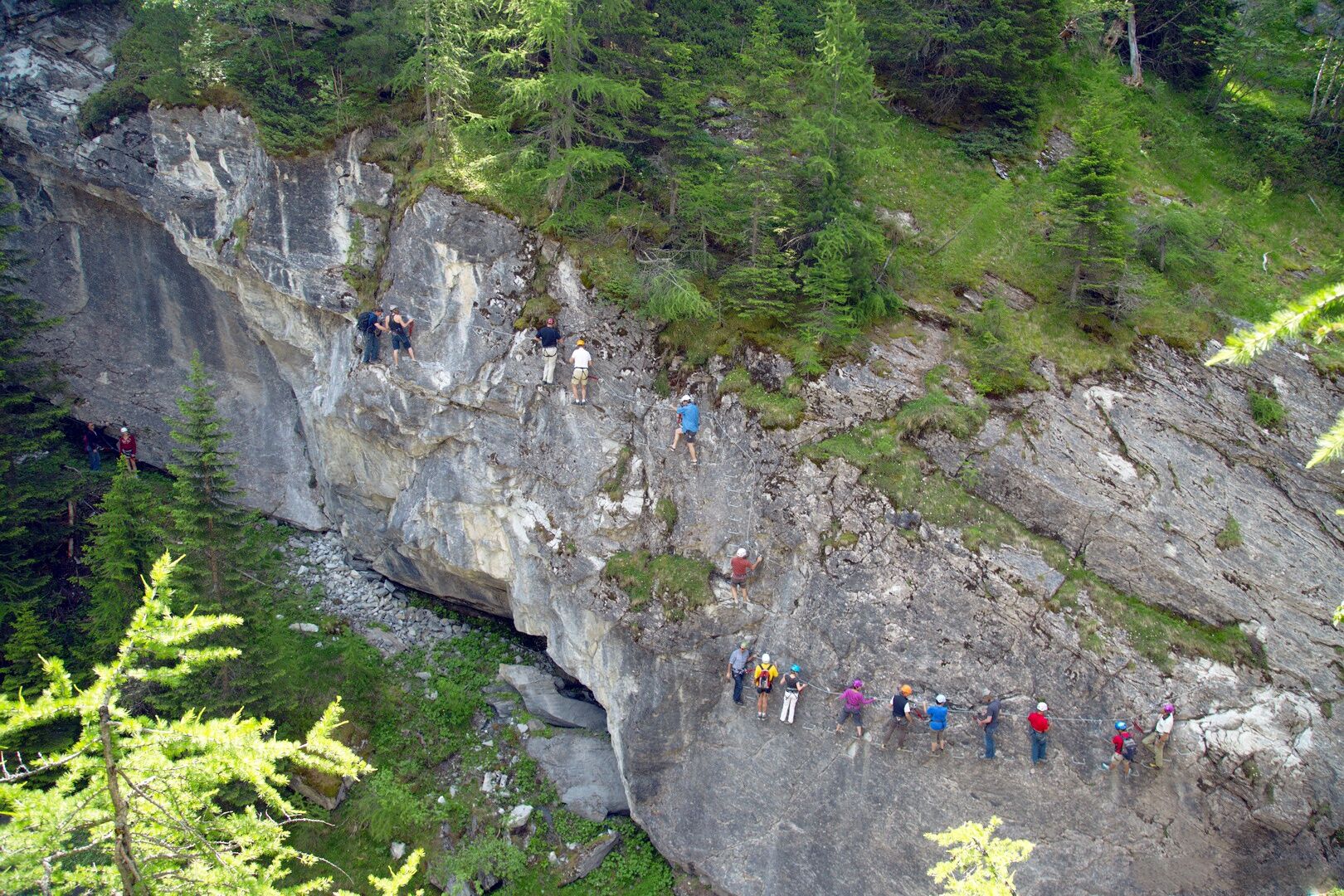
Protection:When climbing a via ferrata, make sure to always keep enough distance from the climber ahead. There should only be one person in each anchor section at a time.
Motorway A9 to Martigny, then cantonal road 21 to Sembrancher and from there via Route de la Vallée into the Val de Bagnes. The Mauvoisin dam is located at the end of the Val de Bagnes.
Regional train connections from Martigny to Le Châble. From there, bus connection to the Mauvoisin dam.
Parking Hôtel de Mauvoisin
C
Equipment rental:
Hôtel Mauvoisin or campsiteMore information about the destination can be found here:
VerbierPopularne wycieczki w okolicy
From Savoleyres to the mountain lake Lac des Vaux
średniWędrówka 14,0 km- 5,0
Sentier des bouquetins
średniWędrówka 8,73 km - 4,5
Cleuson Dam
średniWędrówka 11,5 km - 4,0
Sentier des Chamois
ciężkiWędrówka 11,6 km Arolla - Vignettes
średniWycieczka narciarska 5,04 km- 4,0
Six blanc depuis Cabine
średniWycieczka narciarska 5,85 km From Cabane Brunet to Cabane FXB Panossière
średniWędrówka 6,87 kmAround the Mauvoisin reservoir
ciężkiWędrówka 22,0 km- 5,0
Tour du Val d’Hérens: Thyon – Grande Dixence (Stage 1)
średniWędrówka 15,8 km Lac des Vaux
średniWędrówka 8,73 km

Wędrówki i tropienie


Nie przegap ofert i inspiracji na następne wakacje
Twój adres e-mail została dodana do listy mailingowej.