


Built Heritage Route
Lens and its parish have been attested since the 12th century. A religious and administrative center for centuries, Lens is also the starting point of the Rawyl Pass which leads to Lenk, in the canton...
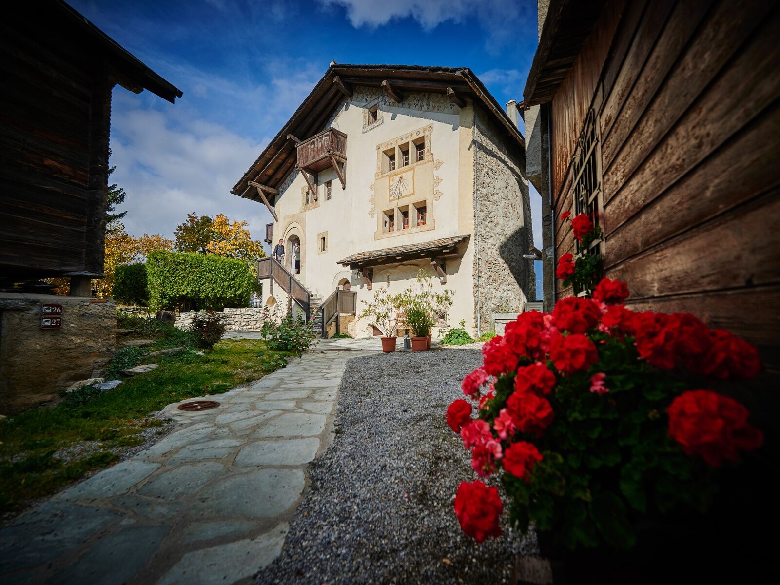
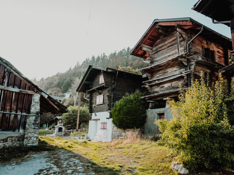
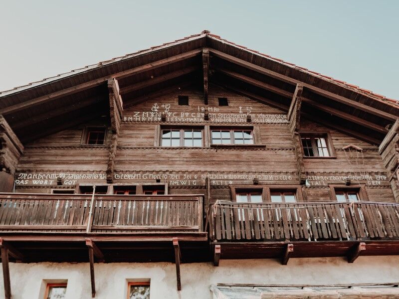
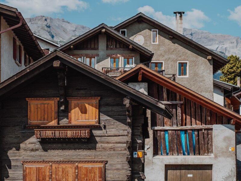
Lens and its parish have been attested since the 12th century. A religious and administrative center for centuries, Lens is also the starting point of the Rawyl Pass which leads to Lenk, in the canton of Bern. This passage was once heavily frequented by merchants and muleteers who stored their goods in a "souste" (warehouse) located where the bourgeois house stands, in the center of the large village. The agro-pastoral culture, which allows farmers to be largely self-sufficient, involves cereal fields, meadows, pastures and mountain pastures for cattle breeding, forests, and vineyards. As in most of Valais, Lens chose to build distinct buildings reserved for a single function instead of farms where living quarters and agro-pastoral exploitation premises were combined under one roof.

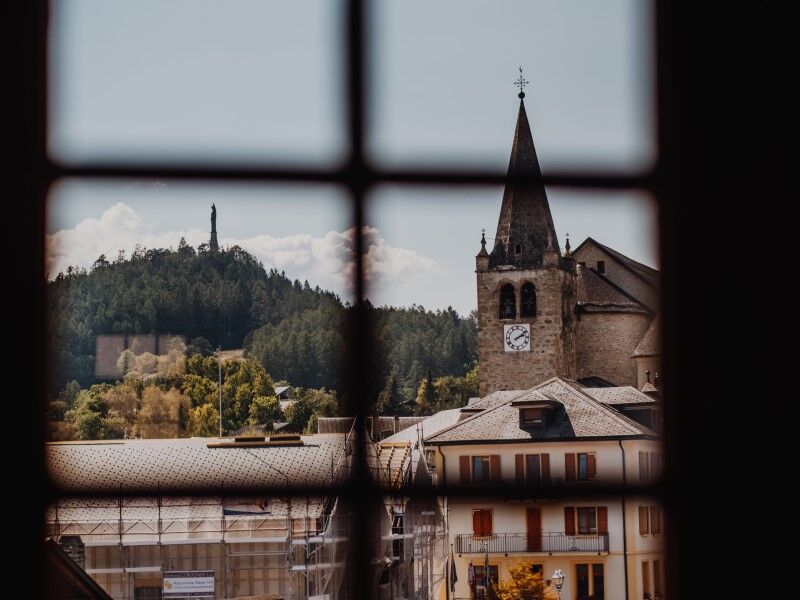
Take the route around the village, starting at the bus stop "Centre d'art", follow Rue Principale, then Chemin du Dailly to reach the Church of Lens, then return via Route d'Icogne, Chemin Pra Derry and Chemin d'en Haut to join Rue Principale and return to the starting point.
Tak
Tak
Tak
No special equipment needed.
Follow the marked trails. Please respect the fauna, flora: nature.
Check the weather conditions before your departure.
Crans-Montana Tourism & Congress declines all responsibility in case of accident.
To reach Lens by car, take the A9 motorway (Rhône motorway) exit named "Sierre ouest". At the motorway exit, turn left and follow signs indicating "Sierre". At the roundabout, turn right. Continue for 500 meters then at the entrance to Sierre, turn left towards "Crans-Montana". About 1 km after the village of Chermignon d'en Bas, take the second exit of the roundabout towards Lens. The journey time from Sierre is about 15 minutes. Once in Lens, follow the signs to reach the Pramounir parking lot.
SMC buses depart from the Sierre train station. Take bus 421 toward Crans-Montana and get off at the stop "Lens, Centre d'Art".
Pramounir Parking:
- Parking disc required, except Sundays, Saturdays and public holidays
- Max duration 15:00, except Sundays, Saturdays and public holidays
For any other information: www.crans-montana.ch/rando
A visit to the Le Grand-Lens Museum is recommended. You will discover the history of the village of Lens there.
Popularne wycieczki w okolicy
-
5,0
Bisse du Ro
światłoWędrówka 11,2 km -
5,0
Bella-Tola
średniWycieczka wysokogórska 6,72 km -
4,0
Grand Bisse de Lens
światłoWędrówka 8,73 km -
4,0
Tripon - Brac – Ancien Bisse du Torrent Neuf – St. Marguerite – Torrent Neuf – Prafirmin - St. Germain
światłoWędrówka 12,9 km -
5,0
Family-friendly Tsittoret bisse
światłoWędrówka 7,14 km -
4,0
Belvédère via ferrata
średniVia ferrata 1,81 km -
5,0
Wildstrubel Umrundung 4-Tage
średniWędrówka 79,1 km -
4,0
Around the Tseuzier Reservoir
światłoWędrówka 4,58 km -
Grand bisse d’Ayent
średniWędrówka 11,7 km -
4,5
Sentier viticole / Wine trail
światłoWędrówka 7,49 km
Wędrówki i tropienie


Nie przegap ofert i inspiracji na następne wakacje
Twój adres e-mail została dodana do listy mailingowej.