







Tour du Val d'Anniviers: Vallon de Réchy - Mountain lake Le Louché (Stage 5)

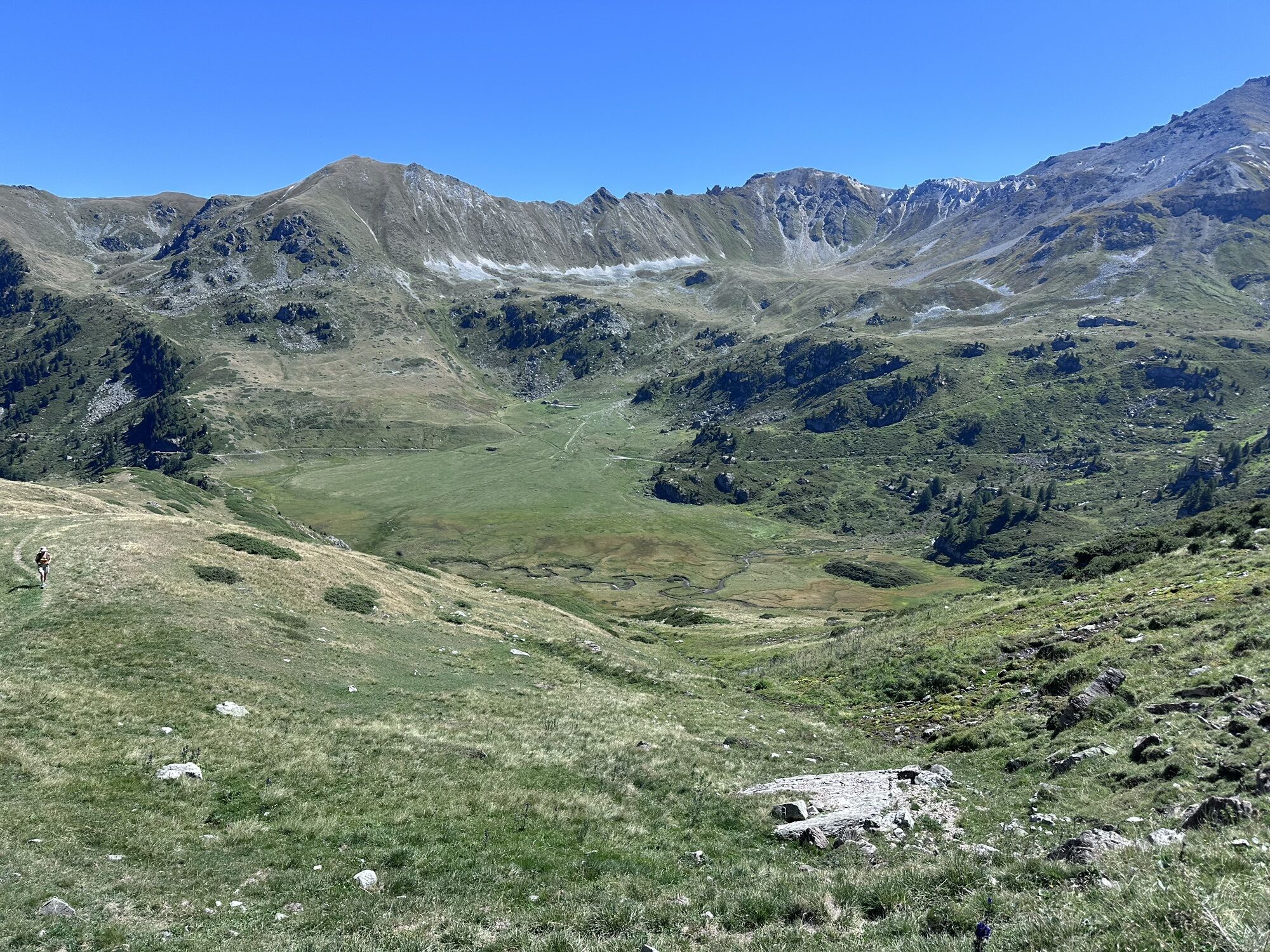

Hidden between the Val d'Hérens and the Val d'Anniviers lies the small valley Vallon de Réchy. The pristine valley has no roads and is only very sparsely built. The hike extends over the valley's three...
Hidden between the Val d'Hérens and the Val d'Anniviers lies the small valley Vallon de Réchy. The pristine valley has no roads and is only very sparsely built. The hike extends over the valley's three elevation levels—each with its very own character.
The hike starts at Crêt du Midi, accessible by gondola from Vercorin. From there the path follows the east flank of the Vallon de Réchy and offers fantastic views of the valley's forests, clearings, and pastures. This level of the valley is closed off by a natural rock barrier. The water of the Rèche overcomes this with a sparkling waterfall.
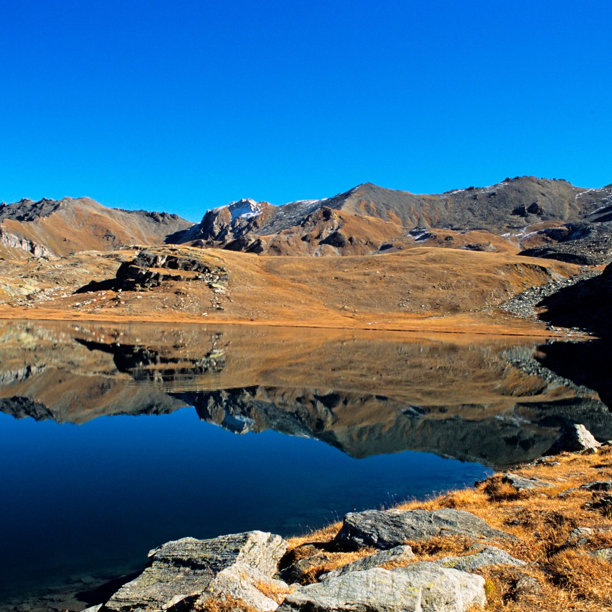
The moorland Ar du Tsan forms the middle level of the valley. The water meanders idyllically across the plateau. On the hike you then climb the valley's uppermost level and reach the mountain lake Le Louché, which invites you to linger.
The descent to the waterfall does not follow the same path as the ascent: you switch to the east flank of the valley and return to the moorland Ar du Tsan and finally reach Crêt du Midi again via the same road.
Highlights of the route:
Scenic gondola ride from Vercorin to Crêt du Midi, the starting point of the hike. The Vallon de Réchy nature reserve is one of the last valleys in Valais without traffic. Highlights in the valley include the high moor Ar du Tsan with its waterfall, the mountain lake Le Louché, and the numerous wild animals living there undisturbed.
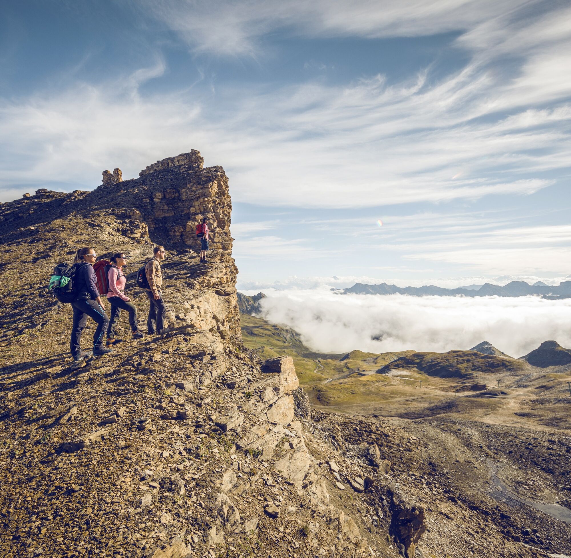
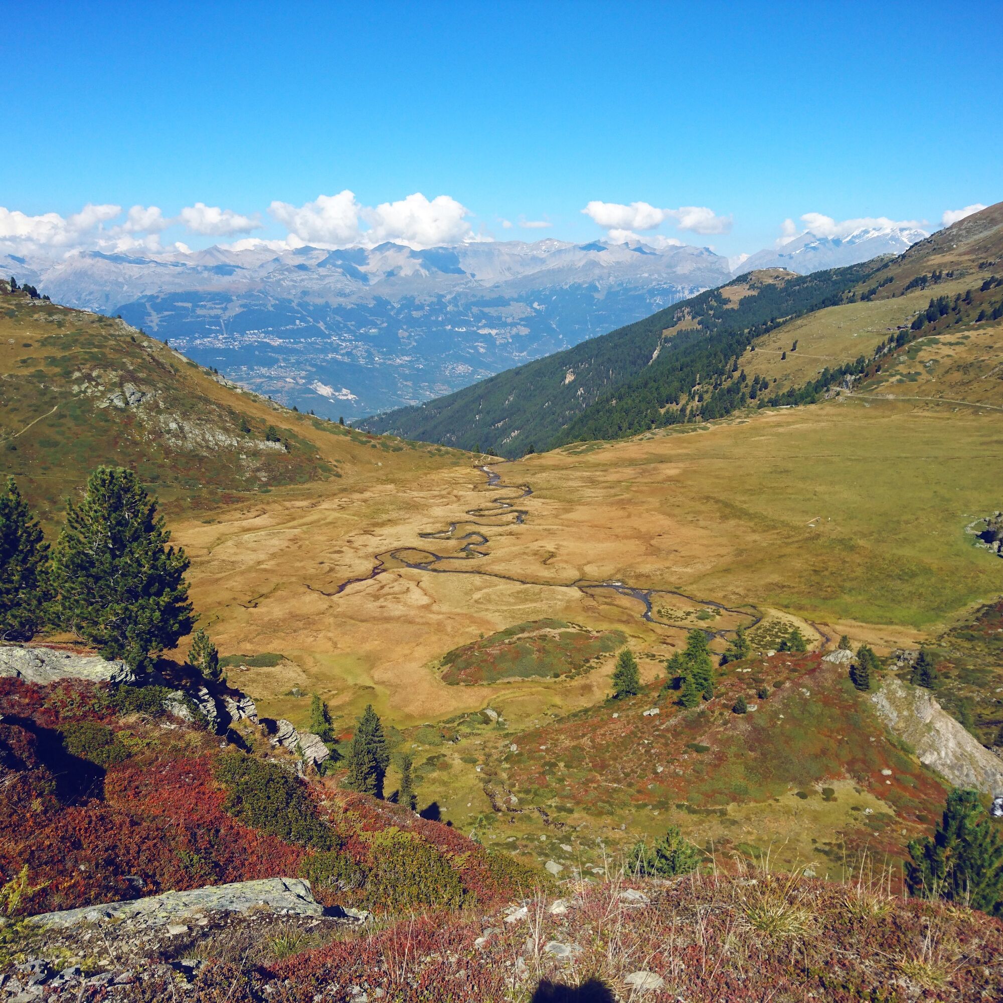

From the mountain station of the Crêt du Midi gondola at 2332 m above sea level, the trail gently climbs to the high moor Ar du Tsan, which is passed on the west side.
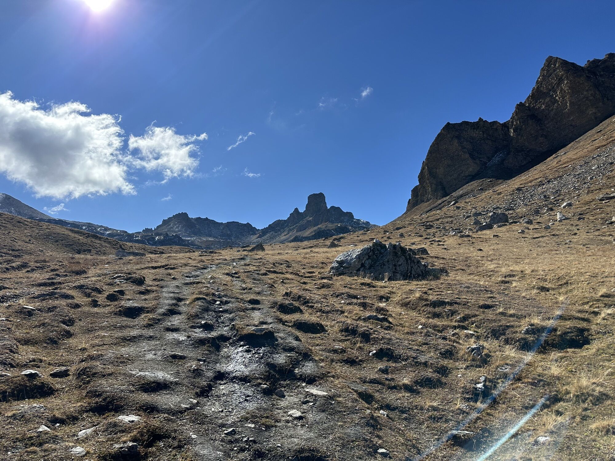
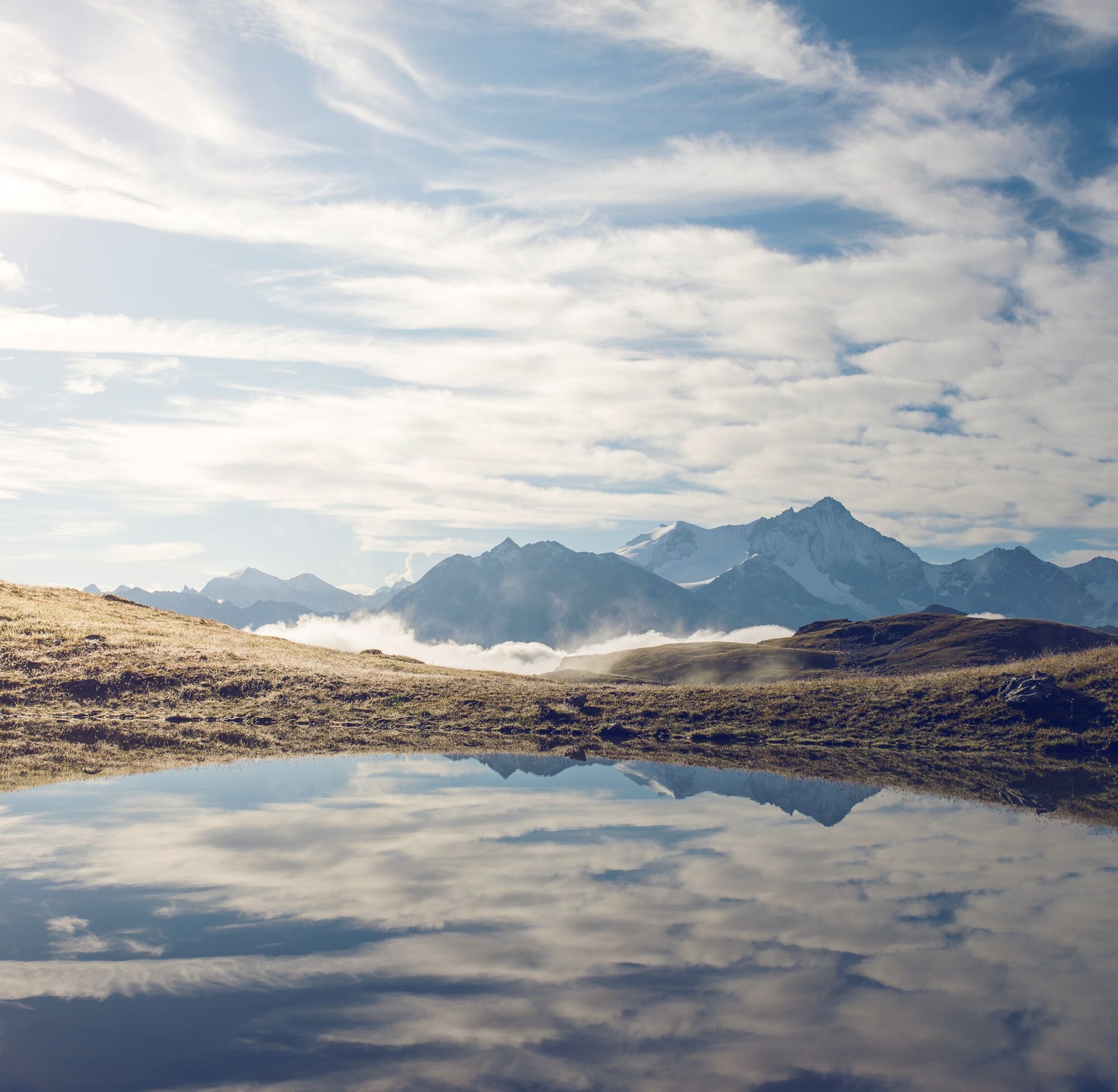
The ascent continues along the Rèche towards the mountain lake Le Louché at 2567 m above sea level. The mountain lake is also the highest point of the route.
For the descent, the path follows the east flank of the valley and leads back to Ar du Tsan. From there, you take the same road that leads to Crêt du Midi.
Tak
Tak
We recommend:
Good footwear Weather-dependent clothing: always carry a waterproof vest Headwear Sunscreen Water bottle Picnic Camera Binoculars (optional) Hiking poles (optional) Printout of the hiking trail (click "Print" to download)For certain hikes:
SwimsuitUse of the hiking trails and information on this website is at your own risk. Conditions on site may cause changes to the route. Valais/Wallis Promotion assumes no responsibility for the accuracy and completeness of the information on this website. Assess your own abilities and fitness well. Traveling the various routes is generally at your own responsibility.
For all hikes:
Carry a map with you. Download the complete description of the hiking trail with a large-scale map by clicking "Print" at the top right of the page. Use only marked hiking trails and observe all signposts and instructions—for your own safety, to protect grazing animals, and out of respect for wildlife. Close gates again after passing through. Behave considerately towards other trail users, plants, and animals.For mountain hikes:
Carry additional sun protection. UV rays at high altitude can be very strong, even on cloudy days. Plan your hike carefully: take into account the required fitness level of all participants, weather forecasts, and seasonal dependencies. The weather conditions can change very quickly and without warning in the mountains. Appropriate clothing and sufficient provisions (food and drink) are very important. In unstable weather, it is better to turn back early.For high alpine hikes:
Inform your family about your hiking route. Avoid being alone if possible. Do not go onto glaciers without a mountain guide. Observe warning signs indicating hazards at riverbanks, along waterways below dams and reservoirs: water levels can rise quickly and without warning.Motorway A9 to Sierre, exit 28 (Sierre-Ouest). Follow signs to Vercorin.
Regular train connections to Sierre. From there, the PostBus takes you to Vercorin. Alternatively, the gondola from Chalais to Vercorin can be used. The gondola takes you from Vercorin to the starting point Crêt du Midi. Train and PostBus schedules can be found at sbb.ch.
Paid parking at the mountain railways in Vercorin. Follow the local parking guidance system in Vercorin.
View this route on SchweizMobil:
No. 217 Chemin du Vallon de RéchyMore information:
Vercorin Val d'AnniviersThe Pass Anniviers Liberté includes a 50 percent discount on the funicular and free rides on the PostBus as well as other activities.
Kamery internetowe z trasy


Popularne wycieczki w okolicy
- 4,2
Grand Bisse de Lens
światłoWędrówka 8,73 km - 3,5
Circular hike to Cabane des Aiguilles Rouges and Lac Bleu
ciężkiWędrówka 14,1 km - 5,0
Sentier des bouquetins
średniWędrówka 8,73 km - 4,7
Cleuson Dam
średniWędrówka 11,5 km - 5,0
Bella-Tola
średniWycieczka wysokogórska 6,72 km Tour du Lac de Moiry
średniWędrówka 13,4 km- 4,7
Moiry via ferrata
ciężkiVia ferrata 2,93 km - 5,0
Zinal - Cabane du Petit Mountet
średniWędrówka 12,0 km - 4,0
Belvédère via ferrata
średniVia ferrata 1,81 km - 4,5
Tour of Val d’Anniviers: Zinal–Grimentz (Stage 3)
średniWędrówka 14,5 km

Wędrówki i tropienie


Nie przegap ofert i inspiracji na następne wakacje
Twój adres e-mail została dodana do listy mailingowej.





