


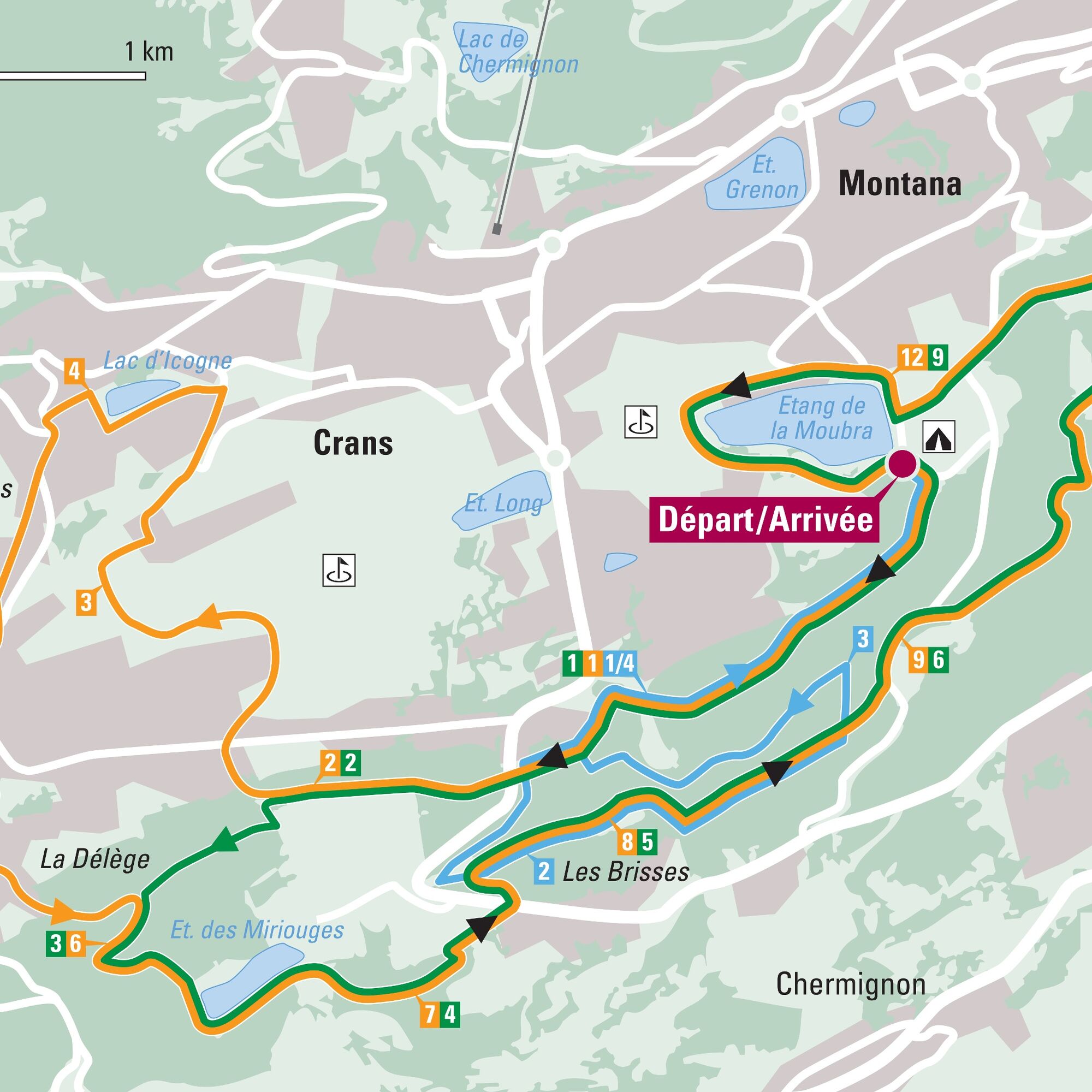
Helsana Trail: Crans-Montana blue
Whatever your goal, Helsana offers more than 360 Helsana Trails where you can progress step by step. More than 120 sites offer everyone an ideal training ground. The Helsana Trails allow you to jog, walk,...
Whatever your goal, Helsana offers more than 360 Helsana Trails where you can progress step by step. More than 120 sites offer everyone an ideal training ground. The Helsana Trails allow you to jog, walk, hike, or go for a stroll on marked routes. Simply look for the route that suits you, and get started!
More info at: https://www.helsana.ch/fr/prives/avantages/helsana-trails

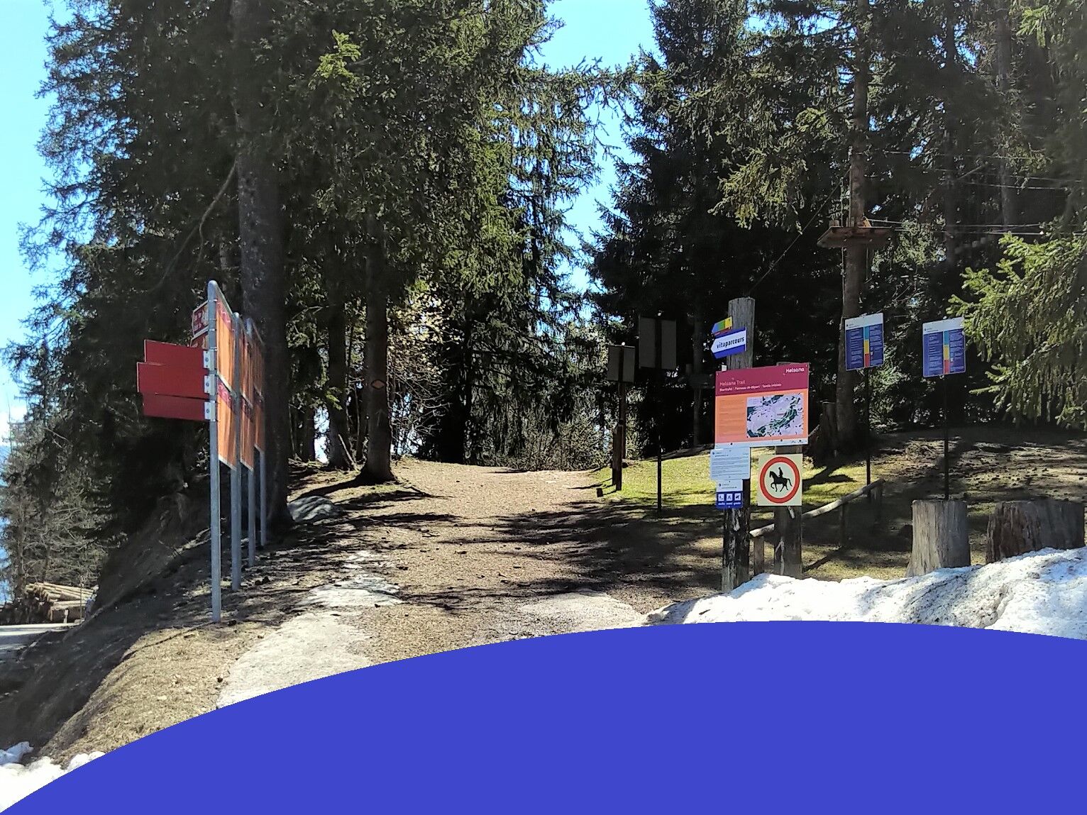
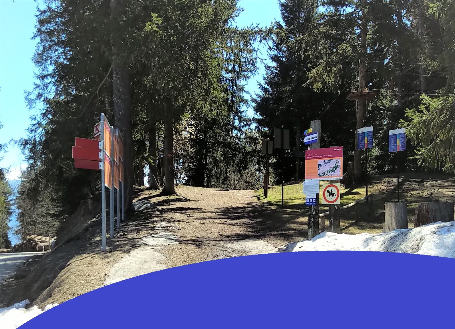
Good running shoes.
The weather changes quickly at altitude, so plan to bring some clothes.
Follow the marked trails. Please respect the fauna, flora: nature.
Check the weather conditions before your departure.
Crans-Montana Tourism & Congress declines all responsibility in case of accident.
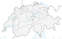
To reach Crans-Montana by car, take the A9 motorway exit (Rhône motorway) named "Sierre ouest". At the motorway exit, turn left and follow the signs indicating "Sierre." At the roundabout, turn right. Continue for 500 meters, then at the entrance of Sierre, turn left towards "Crans-Montana." The travel time is about 20 minutes. Once in Crans-Montana, follow the signs to reach the parking lot of the Moubra campsite.
The Crans-Montana resort is accessible from Sierre train station with the SMC bus company, as well as from Sion train station with the postal buses.
Free shuttles from the SMC bus company serve the entire Crans-Montana resort. The stop closest to the start of the track is: Lac Moubra.
In front of the Lac de la Moubra campsite, there is the possibility to park for free. This place is very close to the start.
Popularne wycieczki w okolicy
-
5,0
Bella-Tola
średniWycieczka wysokogórska 6,72 km -
4,7
Leukerbad - Gemmipass - Lämmerenhütte
średniWędrówka 9,49 km -
4,0
Grand Bisse de Lens
światłoWędrówka 8,73 km -
4,0
Tripon - Brac – Ancien Bisse du Torrent Neuf – St. Marguerite – Torrent Neuf – Prafirmin - St. Germain
światłoWędrówka 12,9 km -
4,0
Wolfstritt
Wędrówka 7,02 km -
5,0
Klettersteig Daubenhorn
ciężkiVia ferrata 5,34 km -
4,0
Belvédère via ferrata
średniVia ferrata 1,81 km -
5,0
Family-friendly Tsittoret bisse
światłoWędrówka 7,14 km -
5,0
Wildstrubel Umrundung 4-Tage
średniWędrówka 79,1 km -
4,0
Around the Tseuzier Reservoir
światłoWędrówka 4,58 km
Wędrówki i tropienie


Nie przegap ofert i inspiracji na następne wakacje
Twój adres e-mail została dodana do listy mailingowej.