


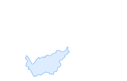

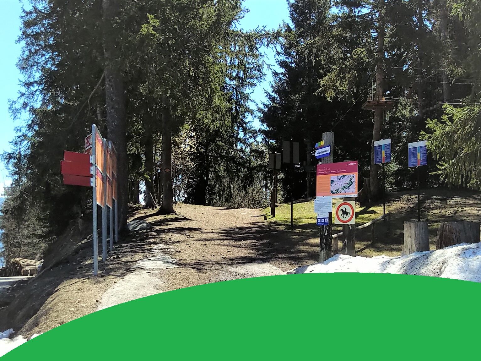
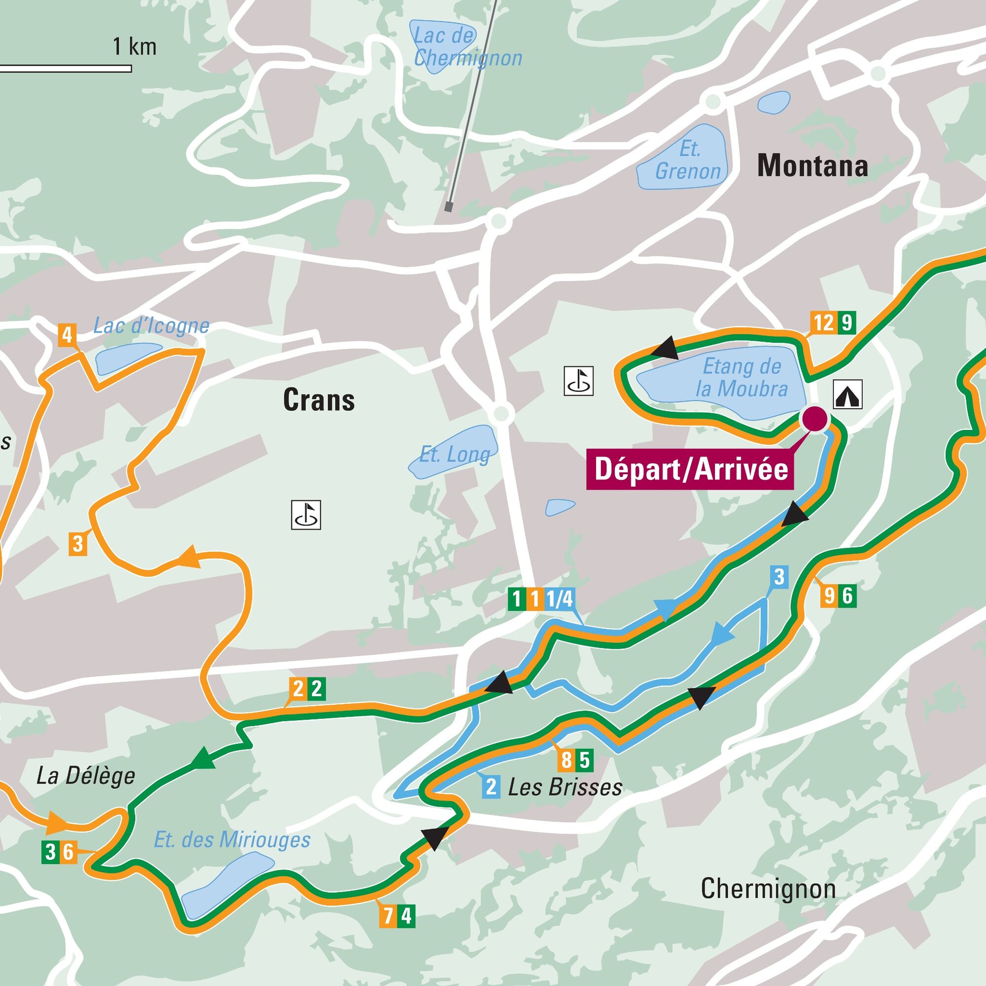
Helsana Trail: Crans-Montana green
Zdjęcia naszych użytkowników
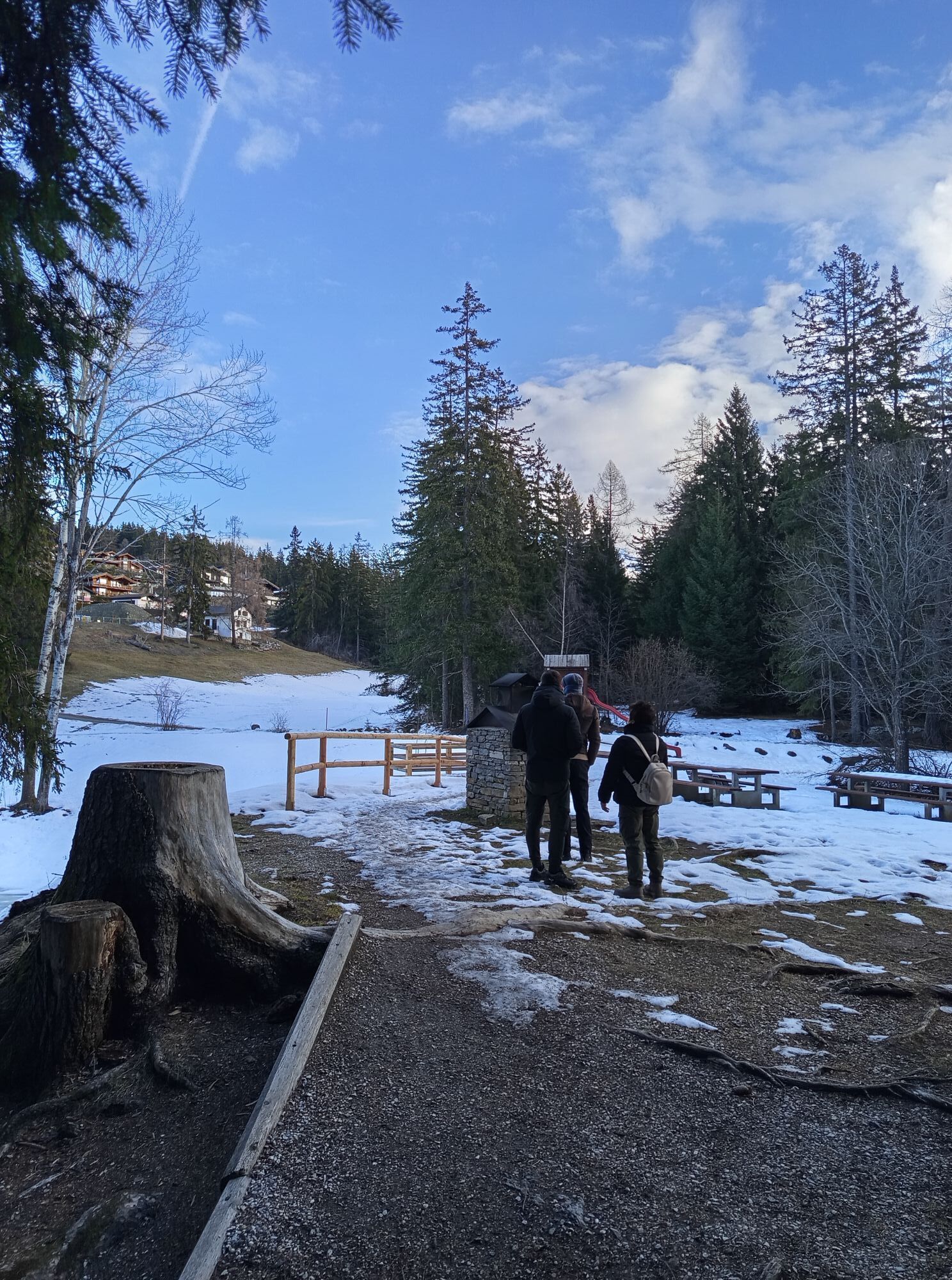
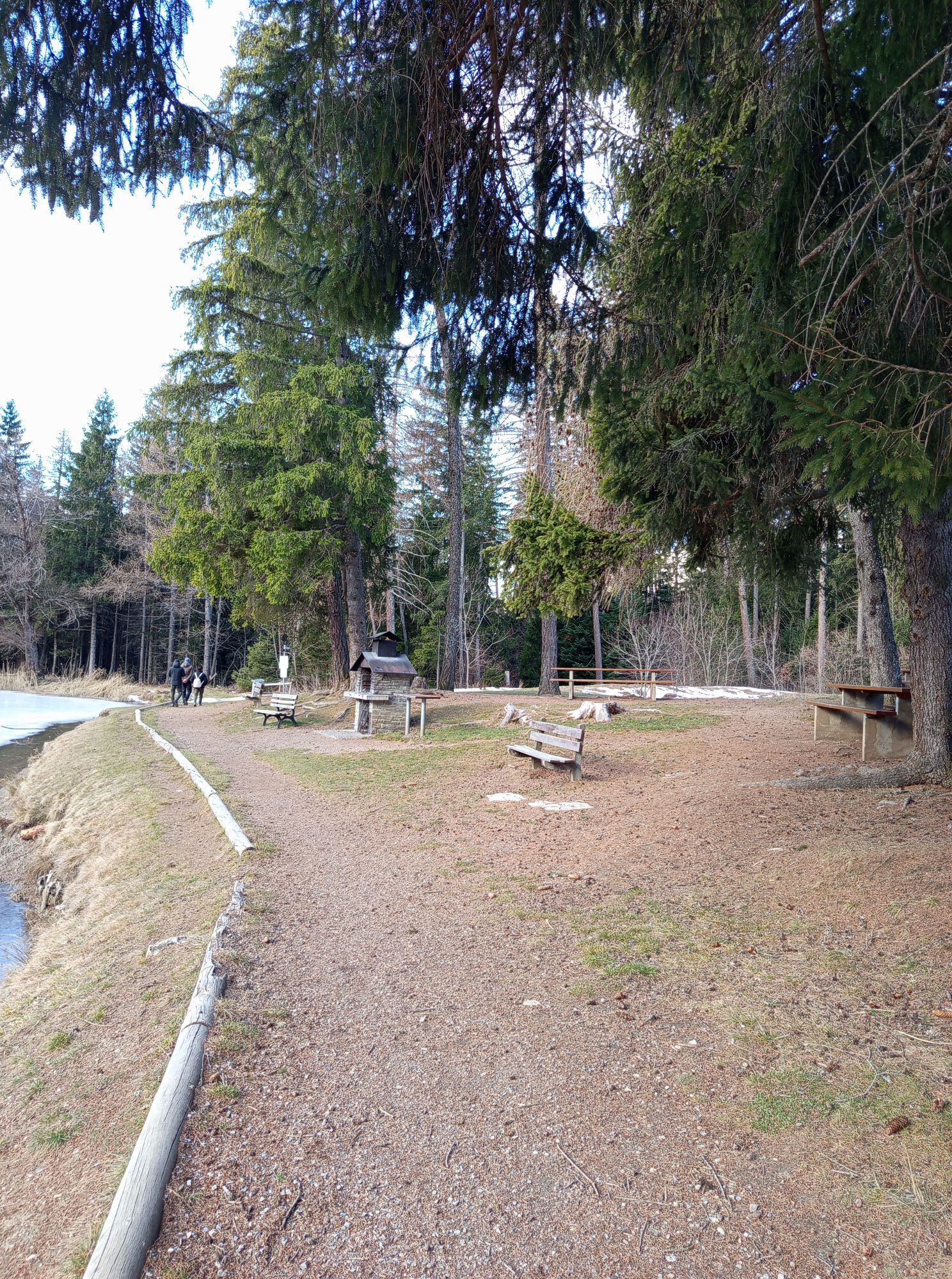
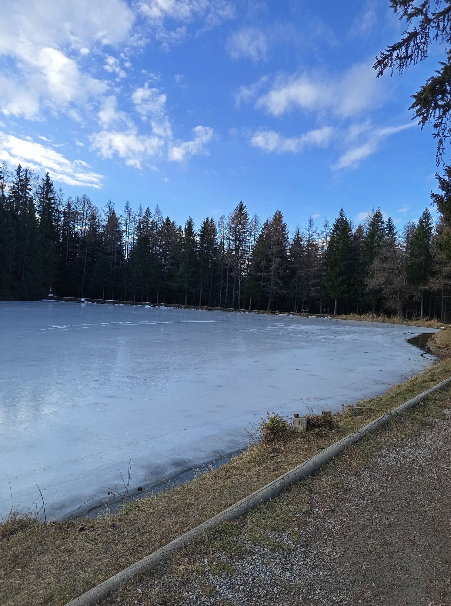
Whatever your goal, Helsana offers more than 360 Helsana Trails where you can progress step by step. More than 120 sites offer an ideal training ground for everyone. The Helsana Trails allow you to jog,...
Whatever your goal, Helsana offers more than 360 Helsana Trails where you can progress step by step. More than 120 sites offer an ideal training ground for everyone. The Helsana Trails allow you to jog, walk, hike or enjoy a walk on marked routes. Just find the route that suits you and get started!
More info at: https://www.helsana.ch/fr/prives/avantages/helsana-trails

Good running shoes.
As the weather changes rapidly with altitude, bring clothing accordingly.
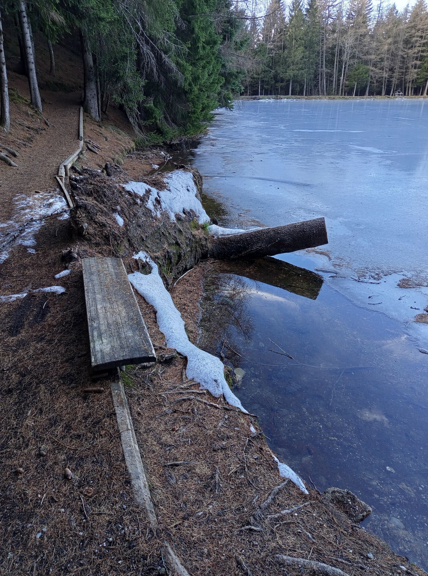
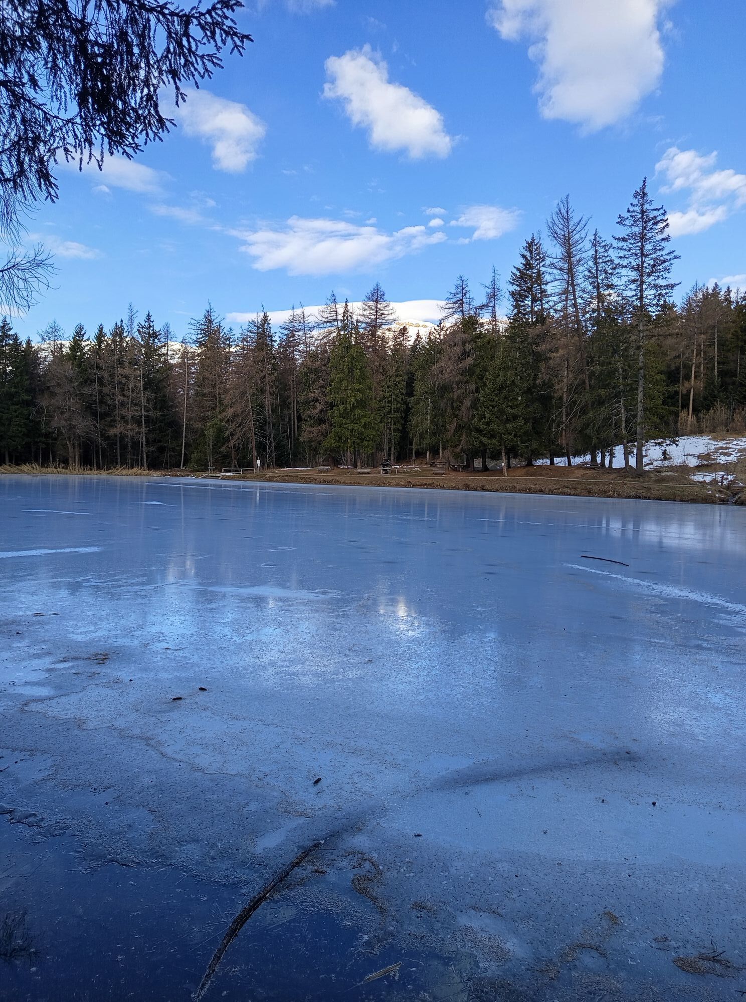
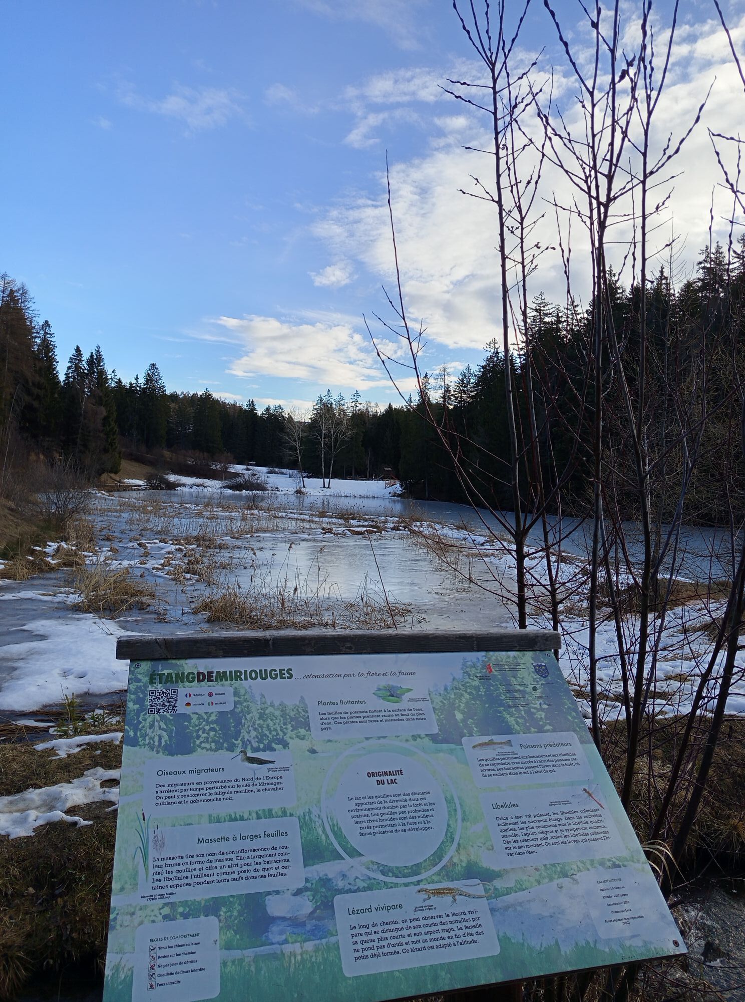
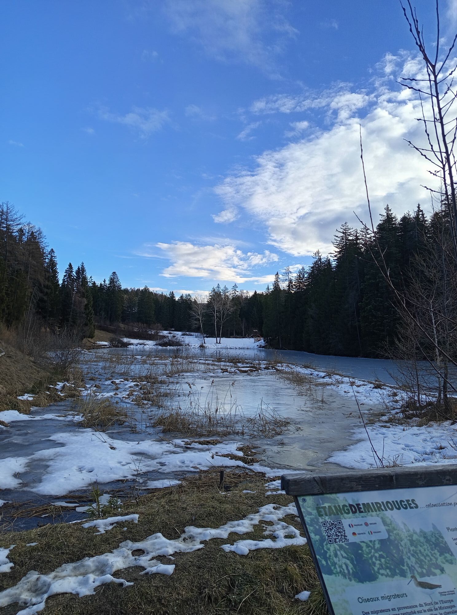
Follow the marked trails. Please respect the fauna, flora: nature.
Check the weather conditions before you start.
Crans-Montana Tourism & Congress declines all responsibility in case of an accident.
To reach Crans-Montana by car, take the A9 motorway (Rhône motorway) exit called "Sierre ouest." At the motorway exit, turn left and follow the signs indicating "Sierre." At the roundabout, turn right. Continue for 500 meters then at the entrance of Sierre, turn left towards "Crans-Montana." The journey takes about 20 minutes. Once in Crans-Montana, follow signs to reach the Moubra campsite parking.
The Crans-Montana resort is accessible from Sierre train station with the SMC bus company as well as from Sion train station with post buses.
The free shuttles from the SMC bus company serve the entire Crans-Montana resort. The stop closest to the trail start is: Lac Moubra.
In front of the Moubra lake campsite, there is free parking available. This spot is very close to the start.
Popularne wycieczki w okolicy
- 5,0
Bella-Tola
średniWycieczka wysokogórska 6,72 km - 5,0
Klettersteig Daubenhorn
ciężkiVia ferrata 5,34 km - 4,0
Belvédère via ferrata
średniVia ferrata 1,81 km - 5,0
Wildstrubel Umrundung 4-Tage
średniWędrówka 79,1 km - 4,0
Tripon - Brac – Ancien Bisse du Torrent Neuf – St. Marguerite – Torrent Neuf – Prafirmin - St. Germain
światłoWędrówka 12,9 km - 4,0
Grand Bisse de Lens
światłoWędrówka 8,73 km Valais Wine Trail
długodystansowy szlak pieszy 65,2 kmRoter Totz ab Gemmi
światłoWycieczka narciarska 13,3 kmColombire-Tieche-Petit Bonvin-retour
średniWędrówka 13,0 kmTseuzier – Dam Trophy
ciężkiJazda na rowerze 22,4 km

Wędrówki i tropienie


Nie przegap ofert i inspiracji na następne wakacje
Twój adres e-mail została dodana do listy mailingowej.