


10 - Ascent of Christ-Roi

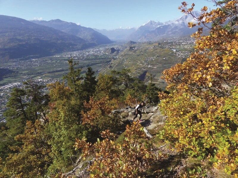
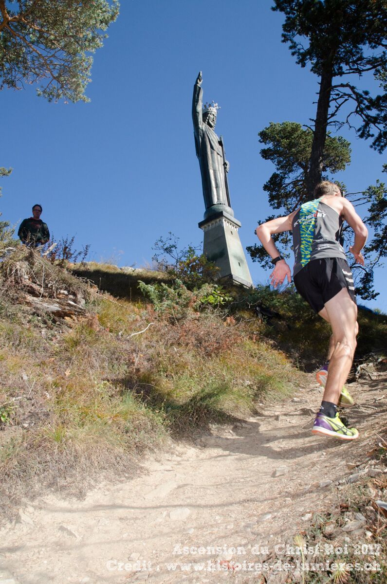
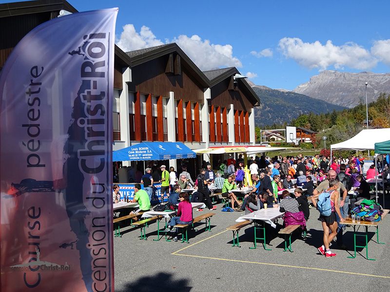

Flanthey - Chelin - les Planisses - le Châtelard - Christ-Roi - Lens
To reach Vaas by car, take the A9 motorway exit (Rhône motorway) named "Sierre west." At the motorway exit, turn left and follow the signs for "Sierre." At the third roundabout, take the third exit towards Sion. Continue for 5 km, then turn right towards Granges, and turn left towards Flanthey. The journey takes about 10 minutes from Sierre to Vaas. Once in Vaas, follow the signs to reach the Bruchez cellar.
Take the post buses from the Sion station to the stop: Granges VS, Grand Canal. Change and take the post buses to the stop: Lens, Vaas-d'en-Bas. The trail starts 5 minutes from this stop.
Behind the Bruchez Cellar, there is a small free parking lot located 5 minutes on foot from the trailhead.
For any other information: https://www.crans-montana.ch/fr/activites/rando_trail
Popularne wycieczki w okolicy
-
4,0
Grand Bisse de Lens
światłoWędrówka 8,73 km -
4,0
Tripon - Brac – Ancien Bisse du Torrent Neuf – St. Marguerite – Torrent Neuf – Prafirmin - St. Germain
światłoWędrówka 12,9 km -
4,0
Belvédère via ferrata
średniVia ferrata 1,81 km -
5,0
Family-friendly Tsittoret bisse
światłoWędrówka 7,14 km -
5,0
Wildstrubel Umrundung 4-Tage
średniWędrówka 79,1 km -
4,0
Around the Tseuzier Reservoir
światłoWędrówka 4,58 km -
Grand bisse d’Ayent
średniWędrówka 11,7 km -
5,0
Tour des lapiaz de Zanfleuron
średniWędrówka 9,64 km -
4,5
Sentier viticole / Wine trail
światłoWędrówka 7,49 km -
5,0
Mayentset Bike
średniMountainbike 21,6 km

Wędrówki i tropienie


Nie przegap ofert i inspiracji na następne wakacje
Twój adres e-mail została dodana do listy mailingowej.