







Valais Origine Gravel 2. Le Châble – La Tzoumaz
Poziom trudności: 1
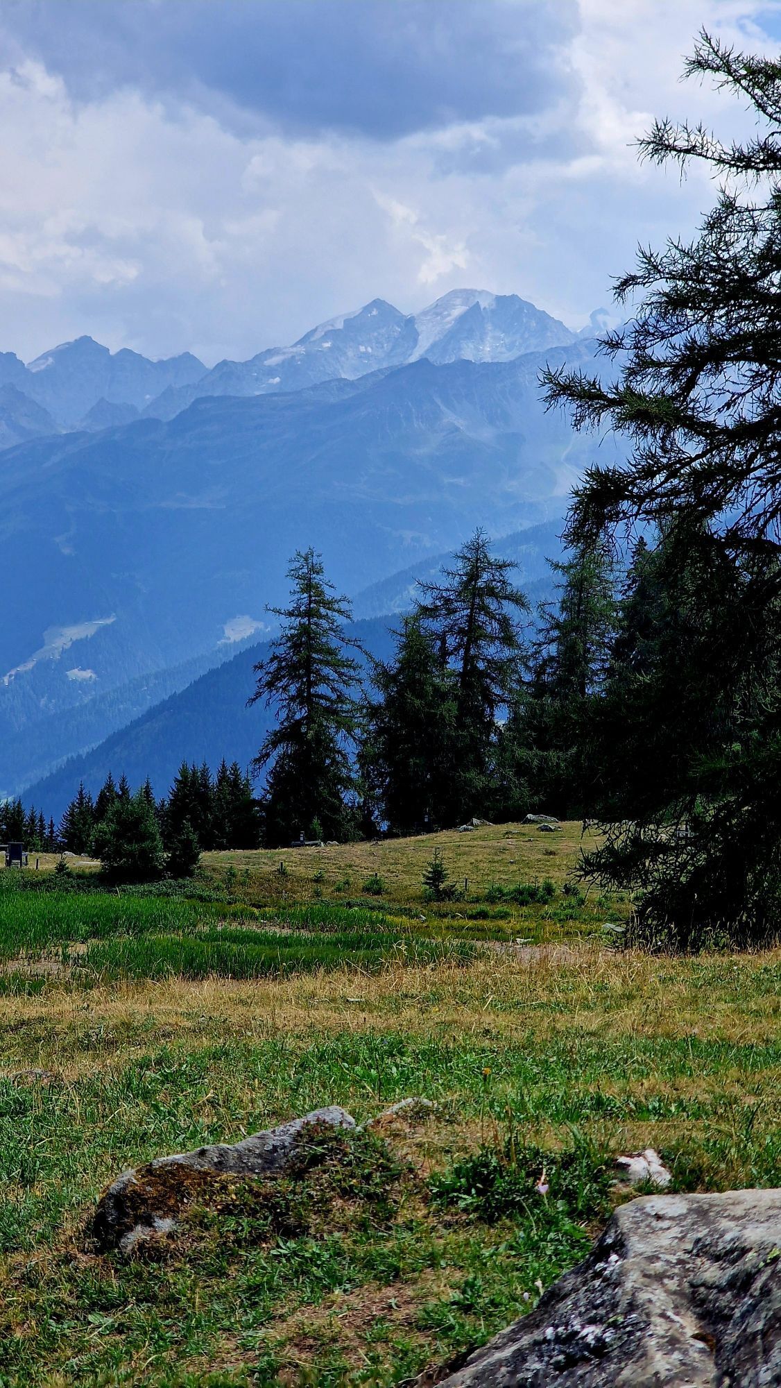
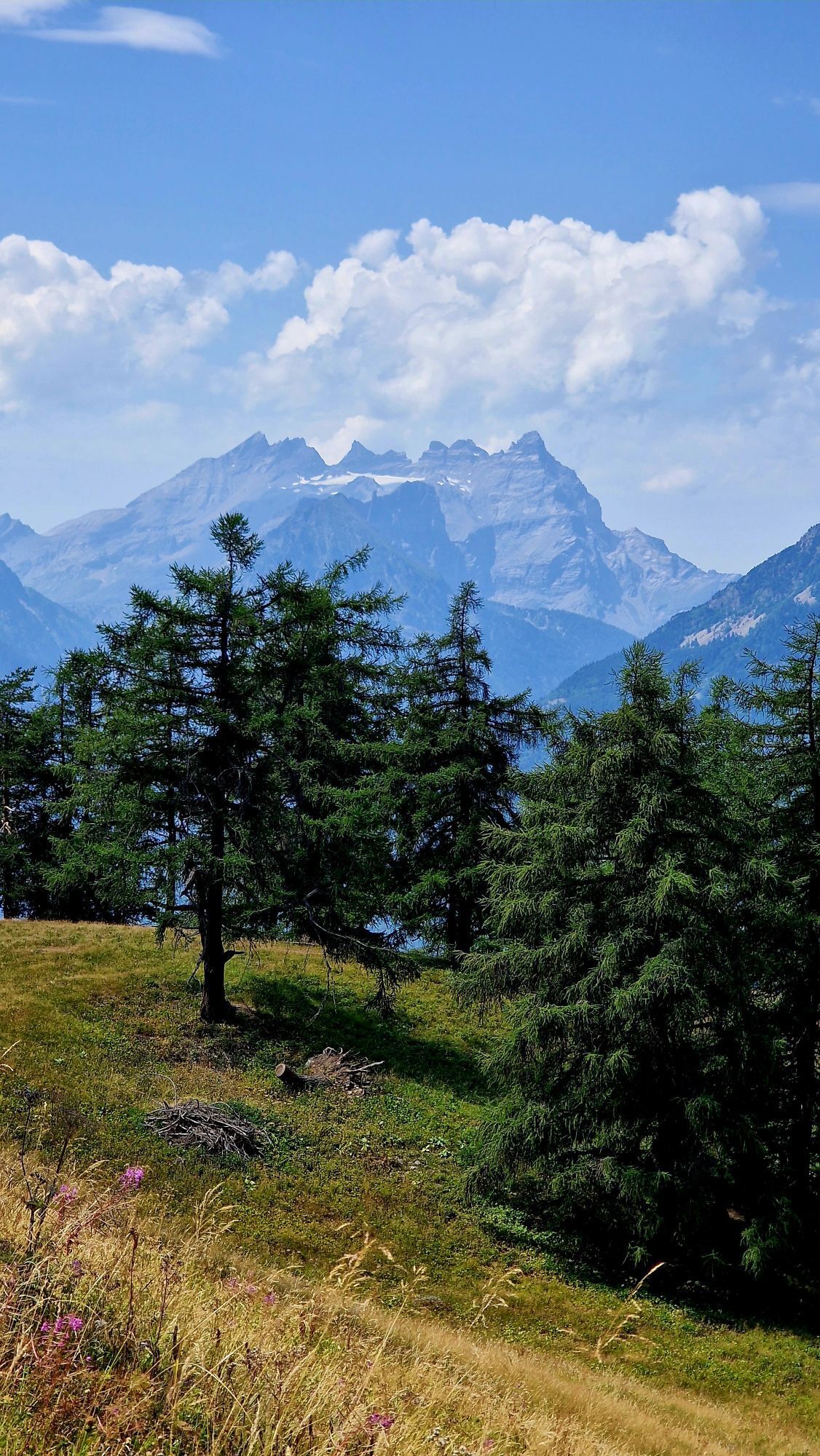
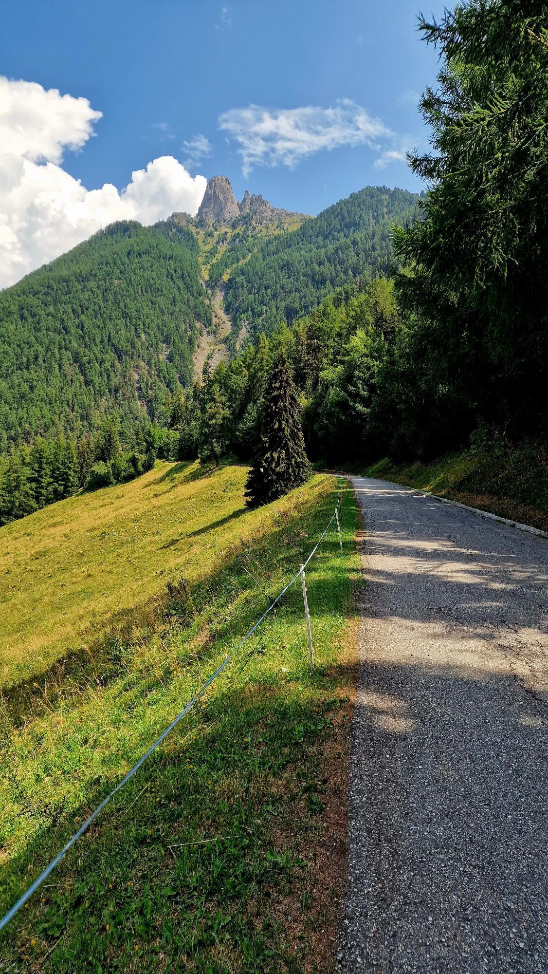
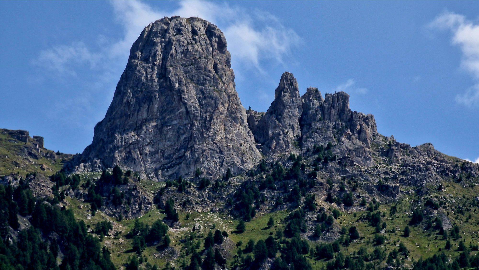
Start your route at Le Châble station, in the heart of Bagnes Valley. After a few metres of elevation gain towards Cotterg, a forest road leads you to Crie, offering panoramic views over the upper Val...
Start your route at Le Châble station, in the heart of Bagnes Valley. After a few metres of elevation gain towards Cotterg, a forest road leads you to Crie, offering panoramic views over the upper Val de Bagnes. Continue and, following a pleasant climb to Levron, you’ll reach the village with wide views over the Val de Bagnes and the Val d’Entremont. You then cross the Col du Tronc and the Col du Lein before descending to Arbarey. The route continues along a forest track with views over the Rhône Valley, before passing through the Ecône tunnel and ending this first stage in La Tzoumaz, where the day can be rounded off in a relaxed atmosphere.

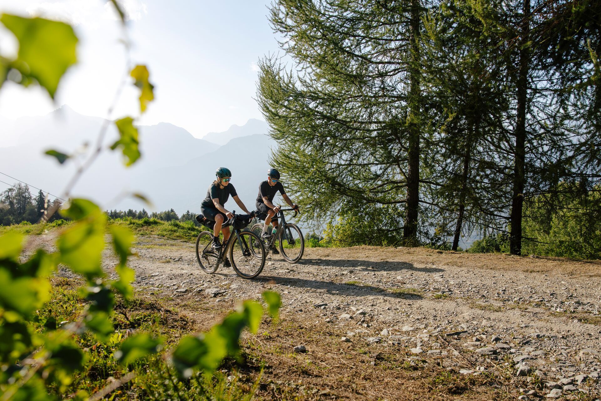
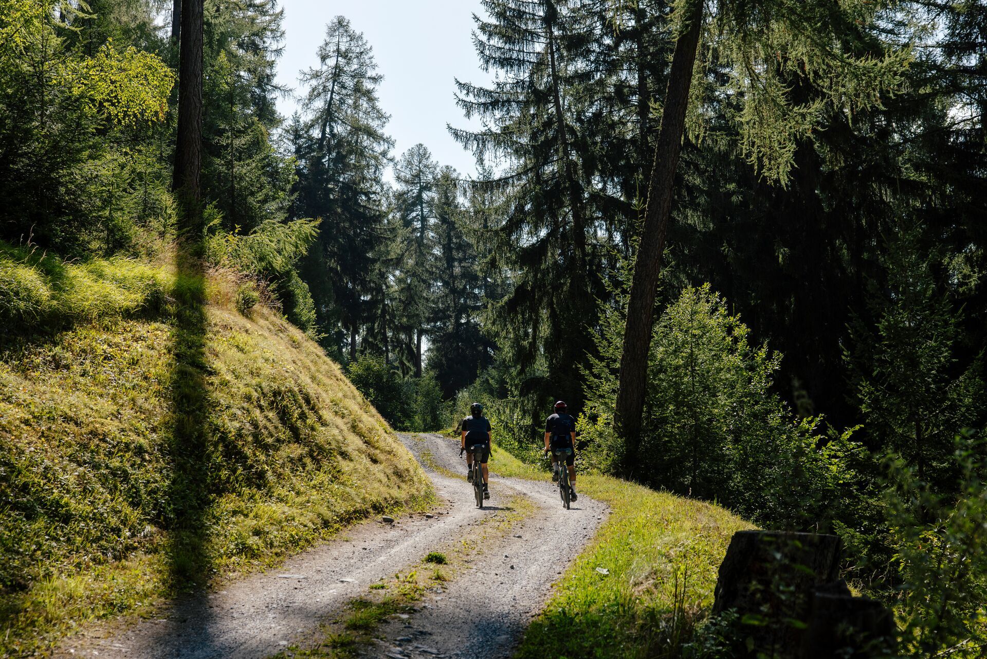

This Itinerary begins at Le Châble train station. After a few metres of elevation gain towards Cotterg, the route follows a forest road leading to Crie. It then continues on to Levron. The remainder of the stage is suitable for gravel bikes and includes a climb to the Col du Tronc, followed by the Col du Lein. A descent then leads to Arbarey. From there, the route continues along a forest road towards the Ecône tunnel, before reaching the end of the stage in La Tzoumaz.
Preparing for outings
The mountains are wonderful places that should be shared and respected, spaces in which to meet up and enjoy unforgettable moments, whether by bike or on foot. For all outdoor enthusiasts to appreciate them properly, it is essential that mountains are treated in a way that respects both Nature and agriculture. Respectful behaviour enables everyone to practice their hobby under the best possible conditions. Find out about the recommendations and rules in place.
When planning, take into account participants’ fitness level and ability. All riding is at one’s own risk.
Take the A9 highway to the Martigny-Combe exit, then continue towards Le Châble – Verbier. At the Le Châble roundabout, take the first exit and park at the foot of the ski lifts on Place de Curala.
From Geneva or Brig, take the train to Martigny station, then board the regional train connecting Martigny and Le Châble. Remember to reserve a space for your mountain bike on www.cff.ch.
A large paid parking lot is available at the departure point of the Le Châble ski lifts.
1
Le Châble: https://www.valais.ch/en/destinations/verbier-val-de-bagnes/le-chable
La Tzoumaz: https://www.valais.ch/en/destinations/la-tzoumaz-region/la-tzoumaz
After the climb, a break at the Col du Lein will be welcome. It’s also the ideal place to fill up your water bottle.
Kamery internetowe z trasy
Uzyskaj wgląd
Zawsze na żywo z ponad 9 500 kamer internetowych. bergfex Jako użytkownik Pro, możesz teraz zobaczyć odpowiednie kamery internetowe dla wielu wycieczek w aplikacji wycieczki od. Pozwala to na bezpośredni podgląd aktualnych warunków.
Popularne wycieczki w okolicy
-
4,6
From Saillon to the Farinet suspension bridge
średniWędrówka 7,86 km -
5,0
Huts of Orny and Trient
ciężkiWędrówka 13,4 km -
4,7
Cleuson Dam
średniWędrówka 11,5 km -
Tour du Grand Chavalard
średniWędrówka 14,9 km -
From Savoleyres to the mountain lake Lac des Vaux
średniWędrówka 14,0 km -
4,5
The Larches of Balavaux
światłoWędrówka 11,0 km -
5,0
Tour de La Seya hike
średniWędrówka 8,09 km -
4,0
Sentier des Chamois
ciężkiWędrówka 11,6 km -
Via Farinetta
ciężkiVia ferrata 6,41 km -
5,0
From Cabane Brunet to Cabane FXB Panossière
średniWędrówka 6,87 km

Wędrówki i tropienie


Nie przegap ofert i inspiracji na następne wakacje
Twój adres e-mail została dodana do listy mailingowej.





